The best walks and hikes around Crinitzberg
4.6
(11690)
37,973
hikers
52
hikes
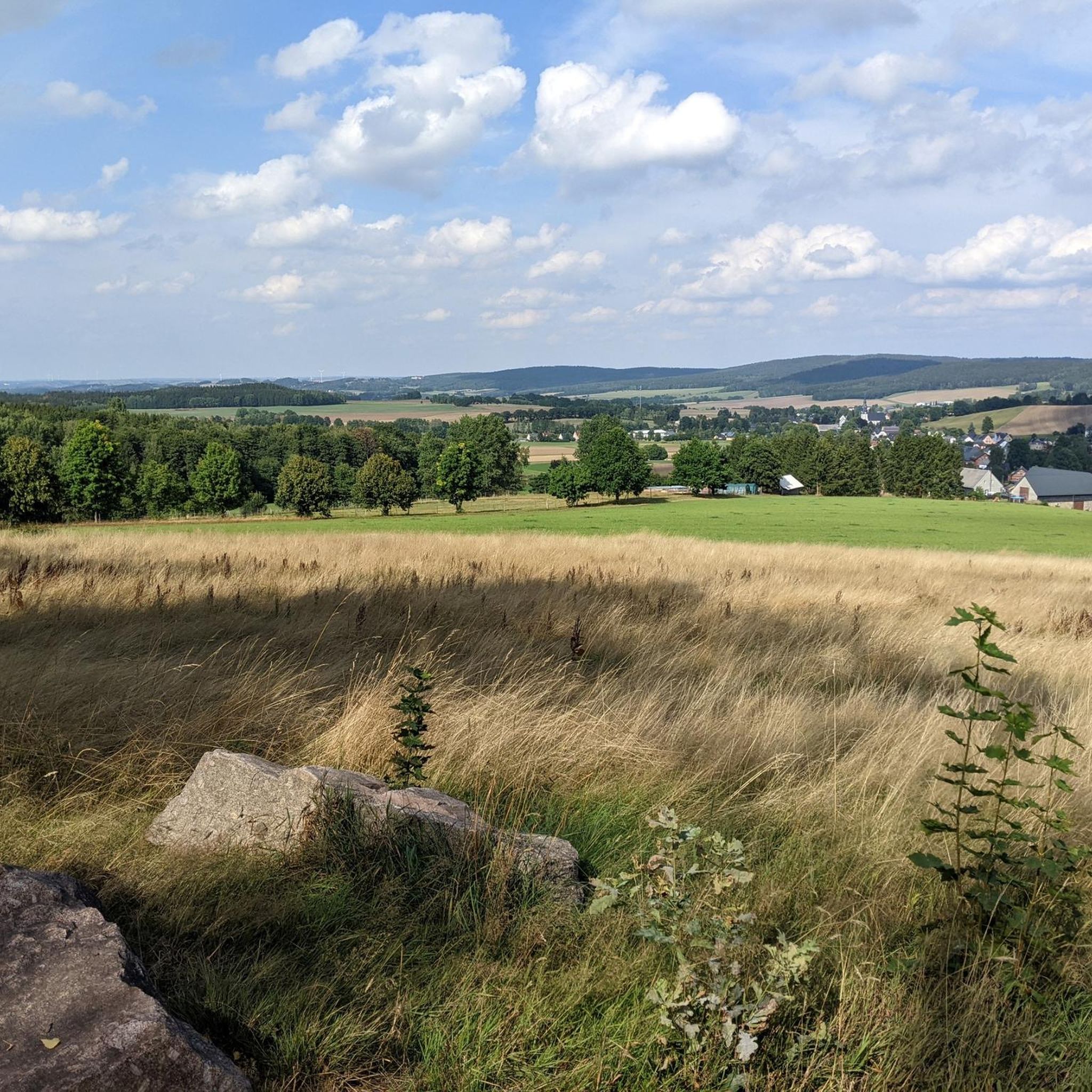
Hiking around Crinitzberg offers diverse landscapes, characterized by prominent granite formations and the Crinitzberg hill, which reaches 573 meters above sea level. The region features a rich tapestry of natural environments, including dense forests, wet meadows, serene ponds, and scenic valleys like the Rödelbach Valley and Crinitztal. Former granite quarries have transformed into valuable refuges, adding to the varied terrain, and the area is part of the Kirchberg Granite Area. Waterways are also a significant feature, with numerous streams and…
Last updated: July 9, 2026
4.8
(18)
55
hikers
7.95km
02:09
100m
100m
Moderate hike. Good fitness required. Easily-accessible paths. Suitable for all skill levels.
4.9
(12)
48
hikers
10.6km
02:58
210m
210m
Moderate hike. Good fitness required. Mostly accessible paths. Sure-footedness required.

Sign up for free
5.0
(4)
11
hikers
Easy hike. Great for any fitness level. Easily-accessible paths. Suitable for all skill levels.
5.0
(4)
11
hikers
5.23km
01:26
80m
80m
Easy hike. Great for any fitness level. Easily-accessible paths. Suitable for all skill levels.
5.0
(2)
14
hikers
Easy hike. Great for any fitness level. Easily-accessible paths. Suitable for all skill levels.
Get access to more routes and recommendations from other explorers.
Sign up for free
Already have an account?
Our route recommendations are based on thousands of hikes, rides, and runs completed by other people on komoot.
Start today with a free account
Your next adventure awaits.
Login or Signup
Tips from the Community

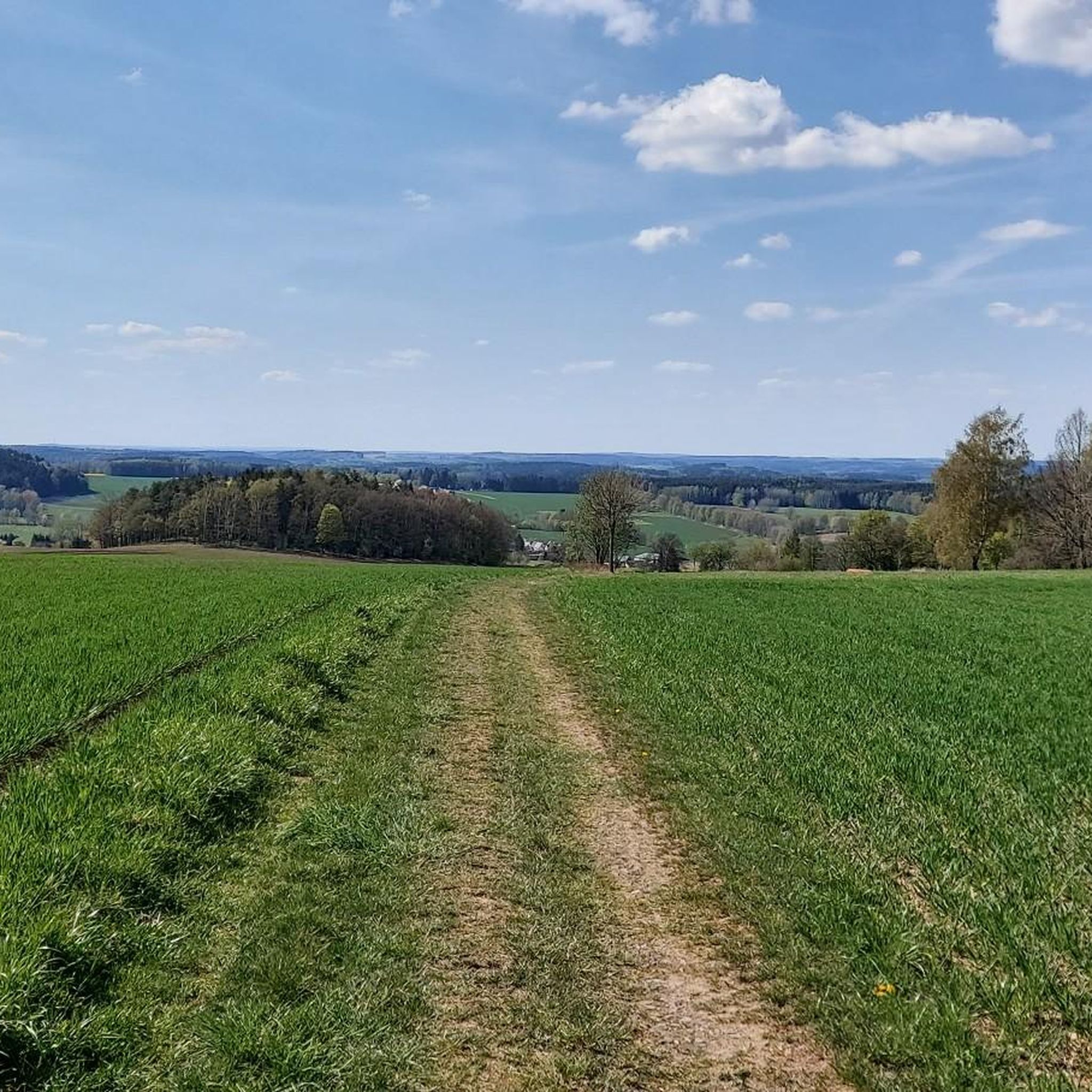
It's simply breathtakingly beautiful here 😊.
0
0
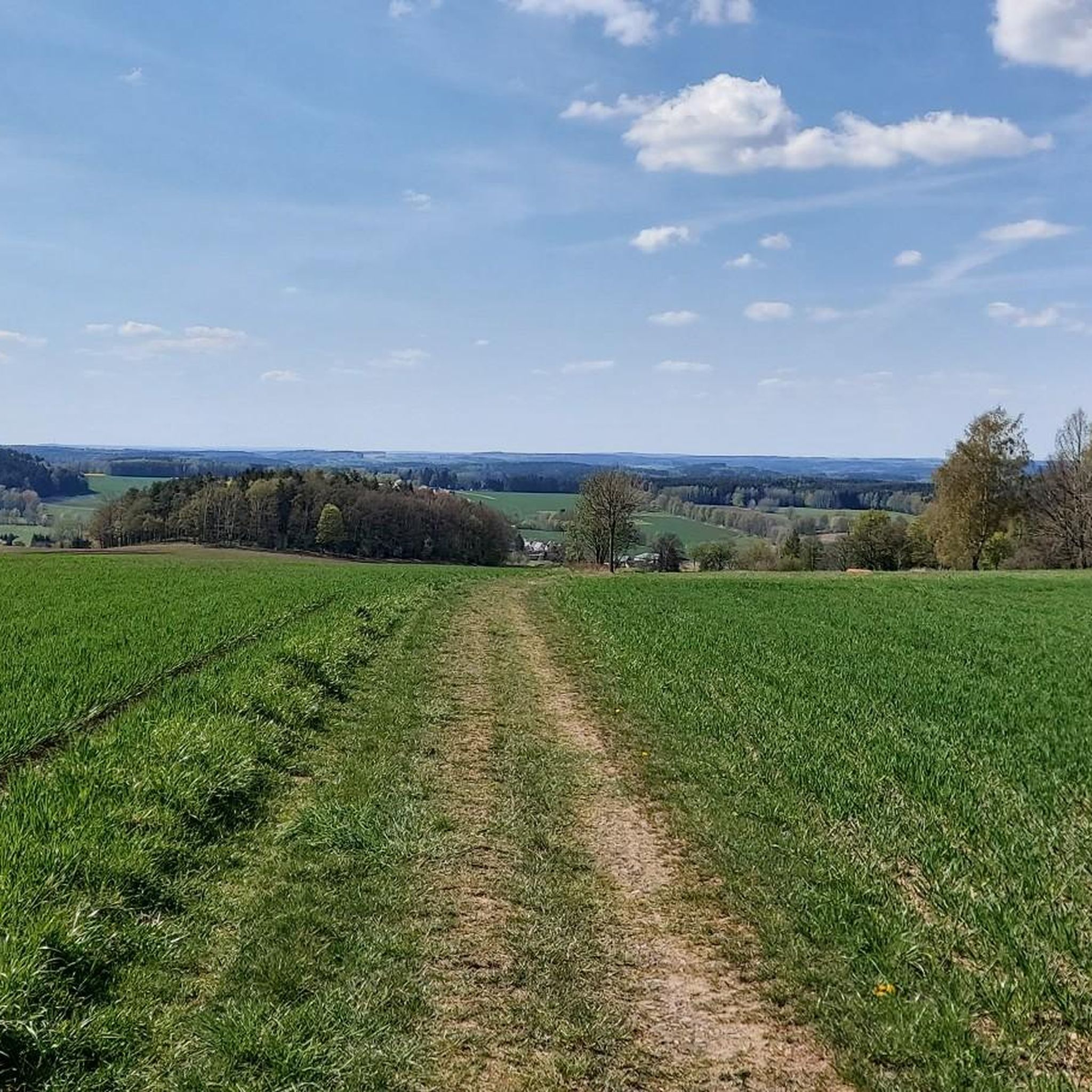
It's simply breathtakingly beautiful here 😊.
0
0
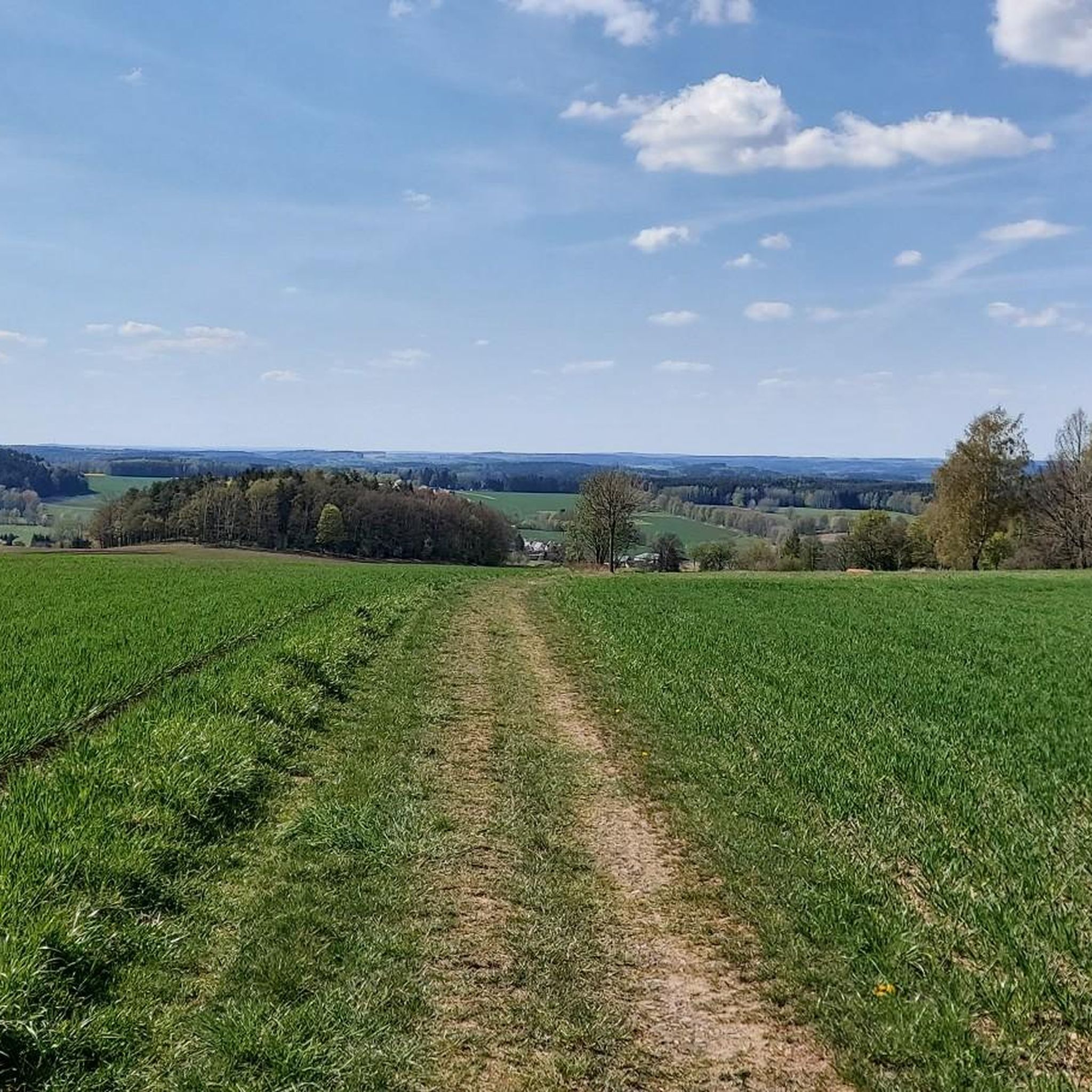
It's simply breathtakingly beautiful here 😊.
0
0

A quiet spot, but you have to crawl through a barrier to reach it. The view is worth the effort. :)
0
0

Cozy corner for a little break
0
0

great corner, always worth a trip
1
0

Some information about the church: Built in 1733, floor area 650 m², tower height 52 meters. The altar in our church was made by Gottfried Ettler from Schneeberg. The leaded glass window consists of seven frame fields on top of each other. https://kirchenbezirk-zwickau.de/kirchengebaeude/baerenwalde/
0
0

Very well developed cycle path between Lichtenau and Bärenwalde, directly through the spruce forest.
8
0
Frequently Asked Questions
How many hiking trails are available in Crinitzberg?
Crinitzberg offers a wide selection of hiking opportunities, with over 50 trails to explore. These routes cater to various skill levels, from easy walks to more demanding treks through the region's diverse landscapes.
What kind of natural features can I expect to see while hiking in Crinitzberg?
Crinitzberg is rich in natural beauty, featuring prominent granite formations, dense forests, and serene waterways. You'll encounter wet meadows, tranquil ponds, and the scenic Rödelbach Valley. A notable highlight is the Blauenthal Waterfall, Saxony's highest waterfall, which offers a spectacular sight, especially when water is diverted over the rock face on Sundays and public holidays.
Are there any family-friendly hiking options in Crinitzberg?
Yes, Crinitzberg has several easy trails suitable for families. For instance, the View of Herlagrün – Birnweiler Circular Trail Signpost loop from Crinitzberg is an easy 6.6 km route that takes about 1 hour 47 minutes, leading through diverse biotopes and forests. Another easy option is the School Playground Bärenwalde – Bärenwalde village church loop from Crinitzberg, which is 5.5 km long.
Are dogs allowed on the hiking trails in Crinitzberg?
Generally, dogs are welcome on the hiking trails in Crinitzberg. The region's extensive forests and open spaces provide a great environment for walks with your canine companion. However, it's always advisable to keep dogs on a leash, especially in nature protection areas or near wildlife, and to respect local signage.
What are some notable landmarks or viewpoints along the trails?
Hikers can discover several interesting landmarks and enjoy panoramic views. The region features former granite quarries that have transformed into valuable refuges. Elevated points like 'Knock' or the Steinberg Summit and Observation Tower offer splendid panoramic views of the surrounding landscape. The König-Albert-Turm is another excellent viewpoint.
Are there circular hiking routes in Crinitzberg?
Yes, Crinitzberg offers many circular hiking routes. A popular moderate option is the Bench Around the Beech Tree – View of Rödelbach Valley loop from Crinitzberg, which is 10.6 km and provides expansive views. The Bärenwalder Rundwanderweg is another approximately 11 km circular trail that takes hikers past natural landmarks and offers panoramic views.
What is the best time of year to go hiking in Crinitzberg?
Crinitzberg is beautiful throughout the year, but spring and autumn are particularly popular for hiking. In spring, the forests come alive with fresh greenery, while autumn offers stunning foliage colors. Summer provides pleasant temperatures for shaded forest walks, and even winter can be magical for snowshoeing or crisp walks, though some trails might be more challenging.
What do other hikers enjoy most about hiking in Crinitzberg?
The hiking experiences in Crinitzberg are highly rated by the komoot community, with an average score of 4.6 stars from over 1,500 reviews. Hikers often praise the diverse landscapes, the well-maintained trails, and the peaceful atmosphere. The combination of granite formations, dense forests, and scenic valleys is frequently highlighted as a major draw.
Are there any easy hiking trails for beginners or casual walkers?
Absolutely. Crinitzberg has 35 easy trails, perfect for beginners or those seeking a relaxed walk. An example is the Bench Around the Beech Tree – View of Rödelbach Valley loop from Bärenwalde, a 3.5 km easy route. These trails often feature gentle gradients and lead through pleasant forest paths or alongside serene ponds.
Where can I find parking for hiking trailheads in Crinitzberg?
While specific parking locations for every trailhead are not detailed, Crinitzberg generally offers accessible parking options near popular starting points for its hiking routes. Many villages and attractions in the region, such as those near the Blauenthal Waterfall or the Bärenwalde area, typically provide designated parking for visitors.
Are there any huts or shelters along the hiking routes in Crinitzberg?
Yes, there are several huts and shelters in the vicinity of Crinitzberg that can provide a resting spot during your hike. Notable options include the Jungfernsprung Hut, the Rektorswiesen Shelter at Rektorbrücke, and the At the Schafstall Hut.
Most popular routes around Crinitzberg
Most popular attractions around Crinitzberg

Get inspired with the komoot mobile app


Explore more
Browse the best Hikes in other regions.
