The best road cycling routes around Crispendorf
4.6
(130)
943
riders
103
rides
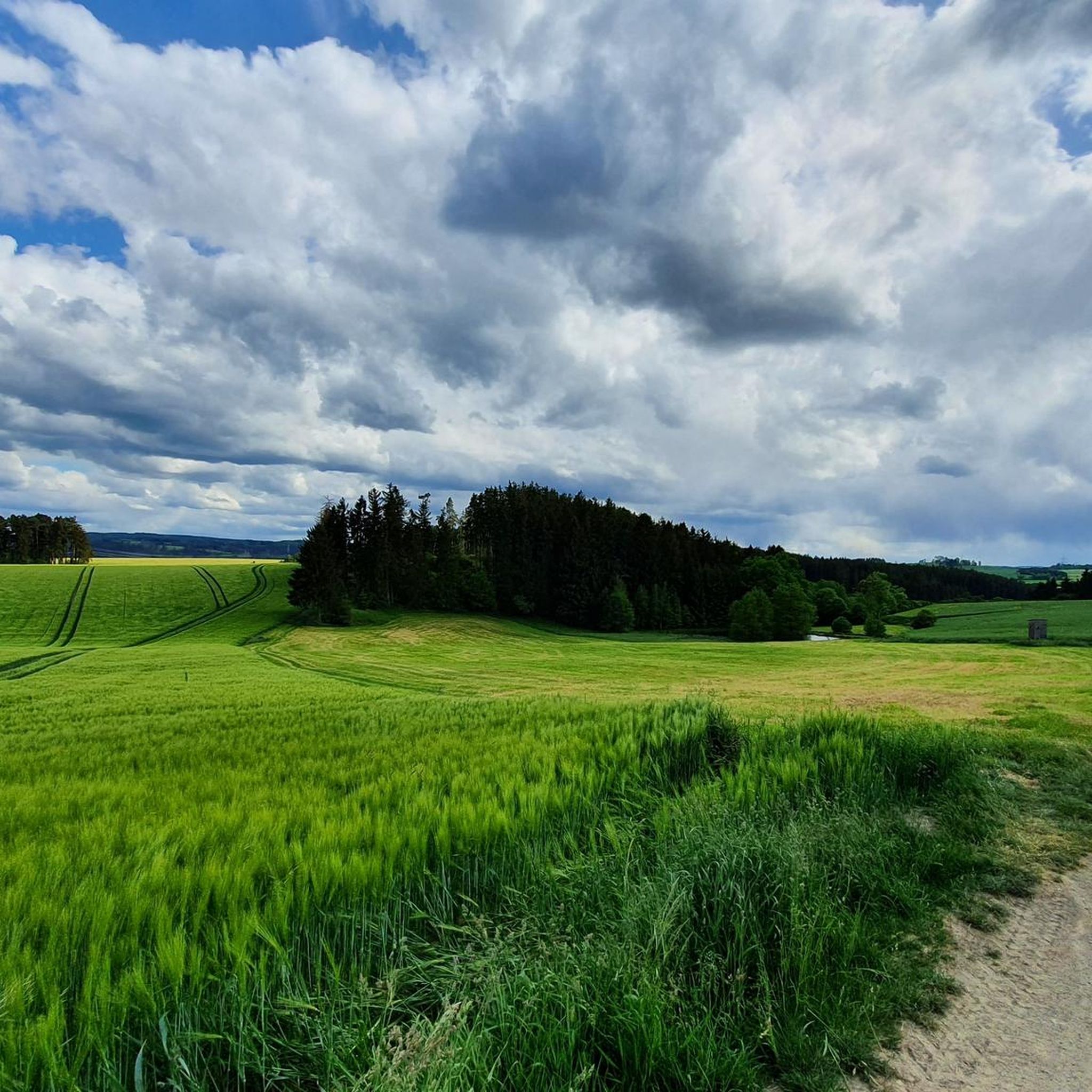
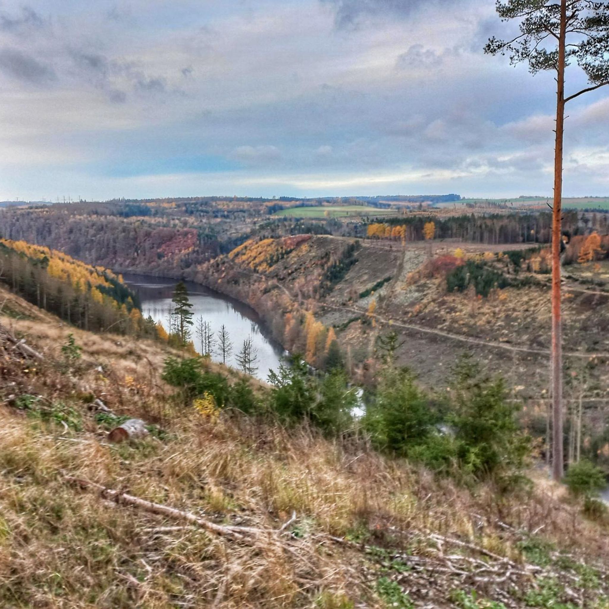
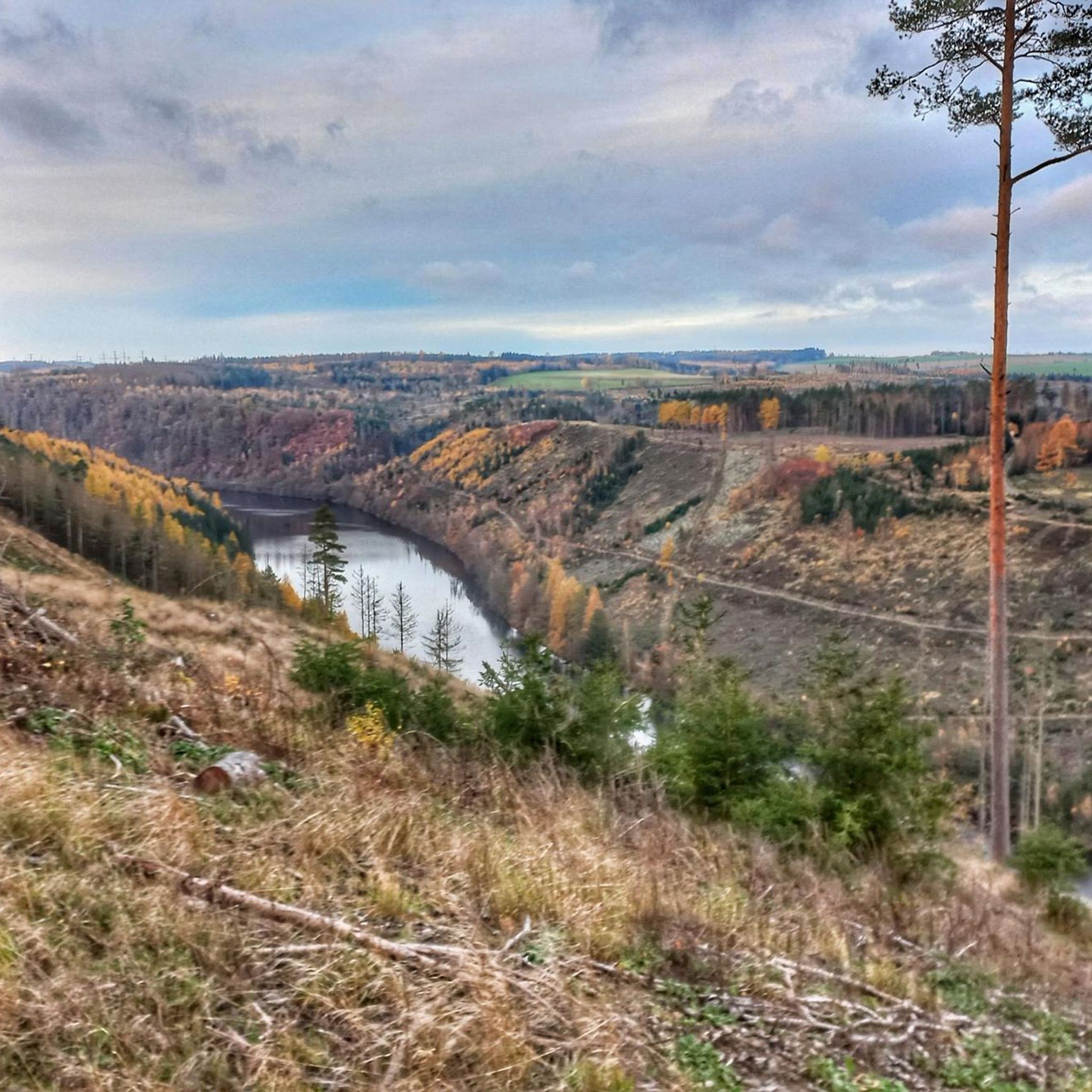
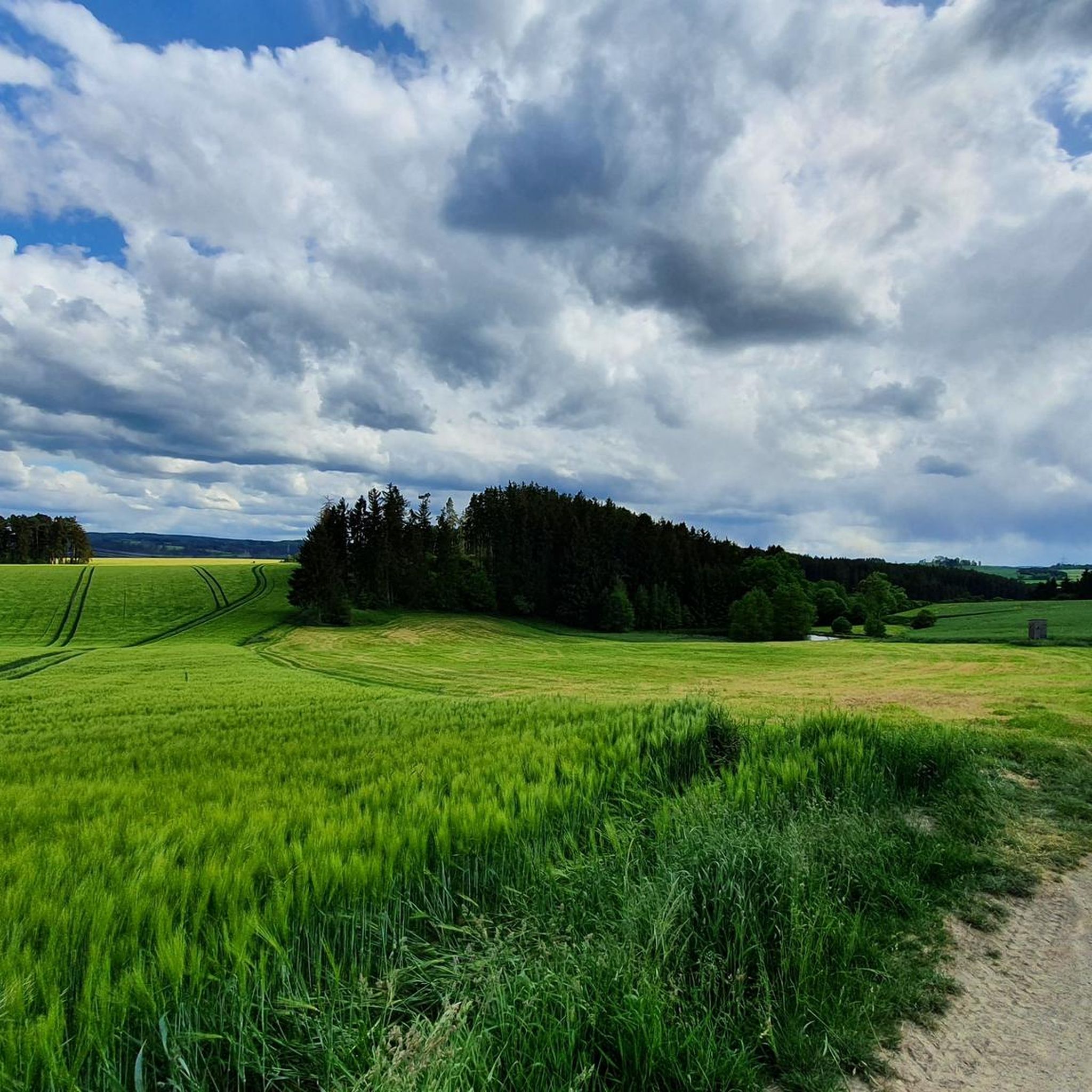
Road cycling routes around Crispendorf traverse the picturesque Wisenta Valley, set within the Thuringian Slate Mountains/Upper Saale Nature Park. The terrain features rolling hills and river valleys, with the Wisenta Dam adding a prominent landmark. This region offers varied landscapes for road cyclists, from valley roads to more elevated sections within the nature park.
Best road cycling routes around Crispendorf
- The most popular road cycling route is Hohenwarte Dam – Hohenwarte Dam loop from Ferienland Hauptbahnhof, a difficult 44.2…
Last updated: September 29, 2026
5.0
(2)
19
riders
71.2km
03:48
1,360m
1,360m
Hard road ride. Very good fitness required. Mostly well-paved surfaces and easy to ride.
5.0
(1)
17
riders
74.3km
03:24
820m
820m
Moderate road ride. Good fitness required. Mostly well-paved surfaces and easy to ride.

5.0
(1)
21
riders
120km
05:59
1,470m
1,470m
Hard road ride. Very good fitness required. Mostly well-paved surfaces and easy to ride.
5.0
(1)
4
riders
92.4km
04:56
1,460m
1,460m
Hard road ride. Very good fitness required. Mostly well-paved surfaces and easy to ride.
5
riders
102km
04:50
1,160m
1,160m
Hard road ride. Very good fitness required. Mostly well-paved surfaces and easy to ride.
Get access to more routes and recommendations from other explorers.
Already have an account?
Our route recommendations are based on thousands of hikes, rides, and runs completed by other people on komoot.
Start today with a free account
Your next adventure awaits.
Tips from the Community

Definitely pedal up from Ziegenrück, even if it's steep. And then head for the view of the Saaleschleife at the top.
0
0
Around the Bleiloch reservoir, you can cycle or hike very well. When festivals take place, e.g. Sonne, Mond und Sterne in August, accommodation in the surrounding area is quickly fully booked and the Saaleradweg cycle path may be closed.
0
0
A piece of contemporary history. Unfortunately, the once largest German leather factory on the Thuringian side has been completely cleared out - there is still one or two things to read for those interested in history. How closely we Germans lived together...
0
0

The Steinerne Rennsteig hiker’s monument at the Blankenstein train station on the Rennsteig honors the tourist development of the famous ridge trail. It significantly commemorates August Trinius – the writer who first described the Rennsteig in a continuous hiking report in 1890, as well as the Rennsteigverein.
2
0

Here the two largest rivers of the Vogtland region merge.
0
0

This road takes you along a well-paved road over the ridge and through the forest. If you're carrying the momentum downhill, you'll need to be careful at the junction, as it changes to firm, light gravel for about 300m. After that, there's a barrier. At the next village entrance, there's a constant layer of gravel. In the village of Lange, you can easily bypass the construction site on the left.
0
0


great weather, nice tour
0
0
Frequently Asked Questions
How many road cycling routes are available around Crispendorf?
There are over 100 road cycling routes around Crispendorf, offering a wide range of options for different skill levels. You'll find everything from easier rides to more challenging tours with significant elevation gain.
What is the typical terrain like for road cycling in the Crispendorf region?
The terrain around Crispendorf is characterized by the picturesque Wisenta Valley and the rolling hills of the Thuringian Slate Mountains/Upper Saale Nature Park. You can expect a mix of valley roads with gentler gradients and more elevated sections within the nature park that feature sustained climbs and descents.
Are there road cycling routes suitable for beginners or families in Crispendorf?
Yes, Crispendorf offers several road cycling routes suitable for beginners or families looking for a less strenuous ride. There are 13 routes classified as 'easy', often winding through the valley with more manageable ascents. For example, the region features routes with a mix of flat sections and gentle ascents, ideal for a relaxed outing.
What kind of difficulty levels can I expect on Crispendorf's road cycling routes?
The routes around Crispendorf cater to various abilities. You'll find 13 easy routes, 64 moderate routes, and 29 difficult routes. This means you can choose anything from leisurely rides through the Wisenta Valley to challenging tours with considerable elevation changes in the Thuringian Slate Mountains.
What natural features or landmarks can I see while road cycling near Crispendorf?
While road cycling near Crispendorf, you can encounter several notable natural features and landmarks. The Wisenta Dam is a prominent feature in the landscape. You might also pass by the impressive Ziemestal Viaduct or enjoy views over the Hohenwarte Reservoir. The region is part of the Thuringian Slate Mountains/Upper Saale Nature Park, ensuring scenic beauty throughout your ride.
Are there scenic viewpoints along the road cycling routes in the area?
Yes, the region offers several scenic viewpoints. For instance, you can find a View over the Hohenwarte Reservoir, providing expansive vistas of the water and surrounding landscape. Additionally, the Birdwatching Tower Dreba-Plothen Pond Area offers another elevated perspective of the natural surroundings.
Are there any circular road cycling routes around Crispendorf?
Many of the road cycling routes around Crispendorf are designed as loops, allowing you to start and end at the same point. An example is the challenging Hohenwarte Dam – Hohenwarte Dam loop from Ferienland Hauptbahnhof, which explores the area around the dam. Another popular option is the moderate Hanka Hill – Riedelmühle Auxiliary Dam loop from Ferienland Hauptbahnhof.
What do other cyclists say about road cycling in Crispendorf?
The road cycling routes around Crispendorf are highly rated by the komoot community, with an average score of 4.6 stars from over 90 reviews. Cyclists often praise the varied terrain, the scenic beauty of the Wisenta Valley, and the well-maintained paths within the Thuringian Slate Mountains/Upper Saale Nature Park.
Where can I park my car when starting a road cycling tour in Crispendorf?
While specific parking locations for each route are not detailed, many routes, such as the Hohenwarte Dam – Hohenwarte Dam loop, often start from locations like 'Ferienland Hauptbahnhof', suggesting accessible starting points where parking might be available. It's advisable to check the individual route details on komoot for specific parking information.
Are there places to stop for refreshments or food along the routes?
The region around Crispendorf, including the Ferienland Crispendorf complex, offers various recreational opportunities. While specific cafes or pubs directly on every route are not listed, the presence of towns like Schleiz and attractions within the Wisenta Valley suggests that refreshment stops are available in the broader area. Planning your route with komoot can help identify potential stops.
What is the best time of year for road cycling in Crispendorf?
The Thuringian Slate Mountains/Upper Saale Nature Park region is generally enjoyable for cycling during spring, summer, and early autumn. These seasons offer pleasant temperatures and lush landscapes. Winter cycling might be possible but could be affected by colder weather and potential snow or ice, especially in more elevated sections.
Are there any longer distance road cycling routes available?
Yes, for those seeking longer rides, Crispendorf offers several extended routes. For example, the challenging Göltzschtal Bridge – Göltzschtal Bridge loop from Bahnhof Stollen covers over 120 kilometers, providing a significant endurance test through varied terrain.
Most popular attractions around Crispendorf

Get inspired with the komoot mobile app


Explore more
Browse the best Road cycling routes in other regions.
