The best road cycling routes around Crottendorf
4.6
(254)
3,685
riders
188
rides
Road cycling routes around Crottendorf offer diverse landscapes and challenging terrain in the Central Ore Mountains. The region is characterized by rolling hills, dense forests, and significant elevation changes, providing an engaging experience for cyclists. The Erzgebirge Mountains provide a backdrop of spruce forests and picturesque valleys, with the Zschopau river flowing through Crottendorf. While many paths are paved, some routes may include unpaved sections, making the area ideal for road cyclists seeking varied rides with demanding climbs and exhilarating…
Last updated: October 4, 2026
3.5
(4)
119
riders
60.5km
03:13
1,150m
1,150m
Hard road ride. Very good fitness required. Mostly well-paved surfaces and easy to ride.
4.8
(9)
110
riders
Moderate road ride. Good fitness required. Mostly well-paved surfaces and easy to ride.

5.0
(4)
56
riders
Moderate road ride. Good fitness required. Mostly well-paved surfaces and easy to ride.
4.3
(6)
48
riders
45.3km
02:09
540m
540m
Moderate road ride. Good fitness required. Mostly well-paved surfaces and easy to ride.
4.8
(6)
38
riders
33.7km
01:32
350m
350m
Moderate road ride. Good fitness required. Mostly well-paved surfaces and easy to ride.
Get access to more routes and recommendations from other explorers.
Already have an account?
Our route recommendations are based on thousands of hikes, rides, and runs completed by other people on komoot.
Start today with a free account
Your next adventure awaits.





Tips from the Community


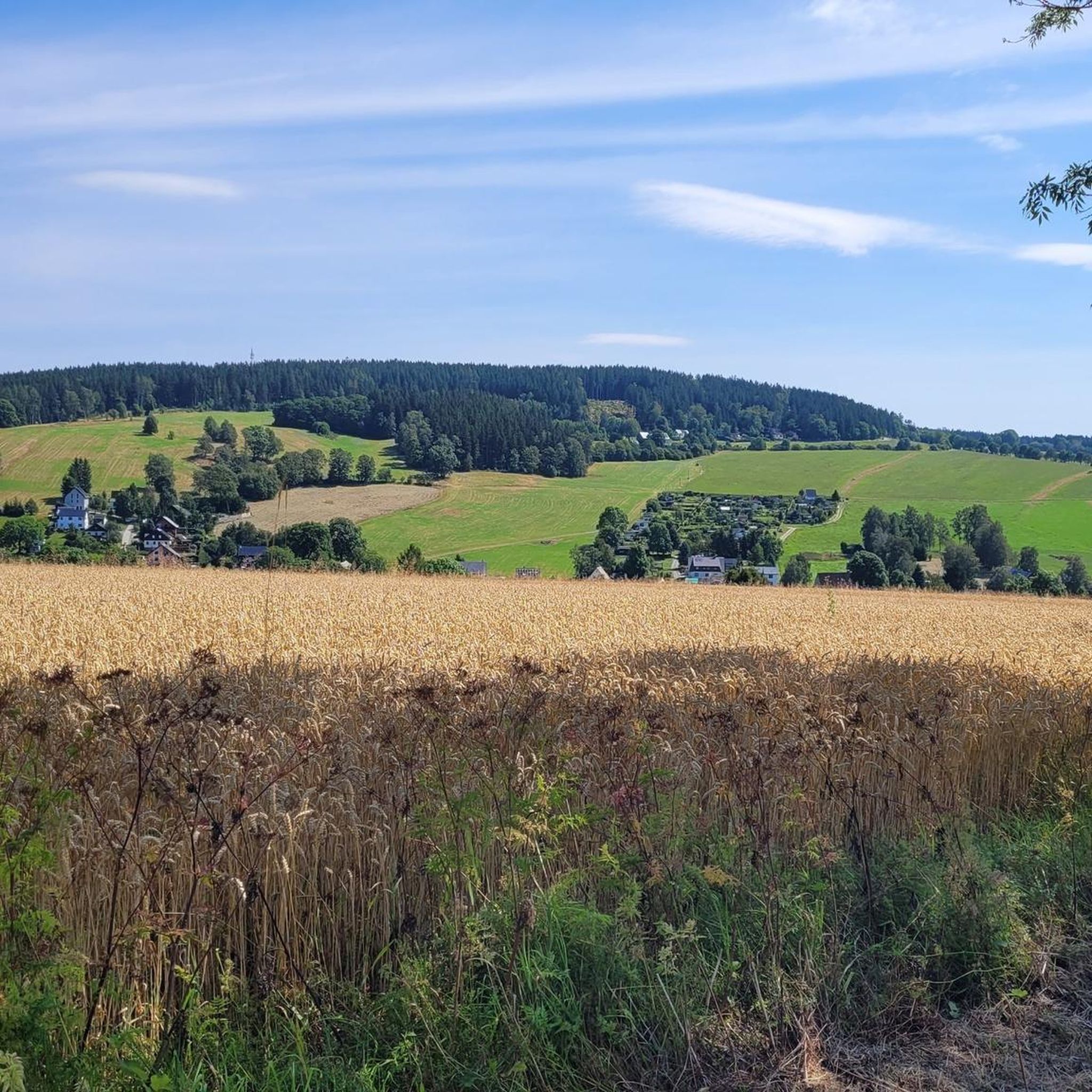
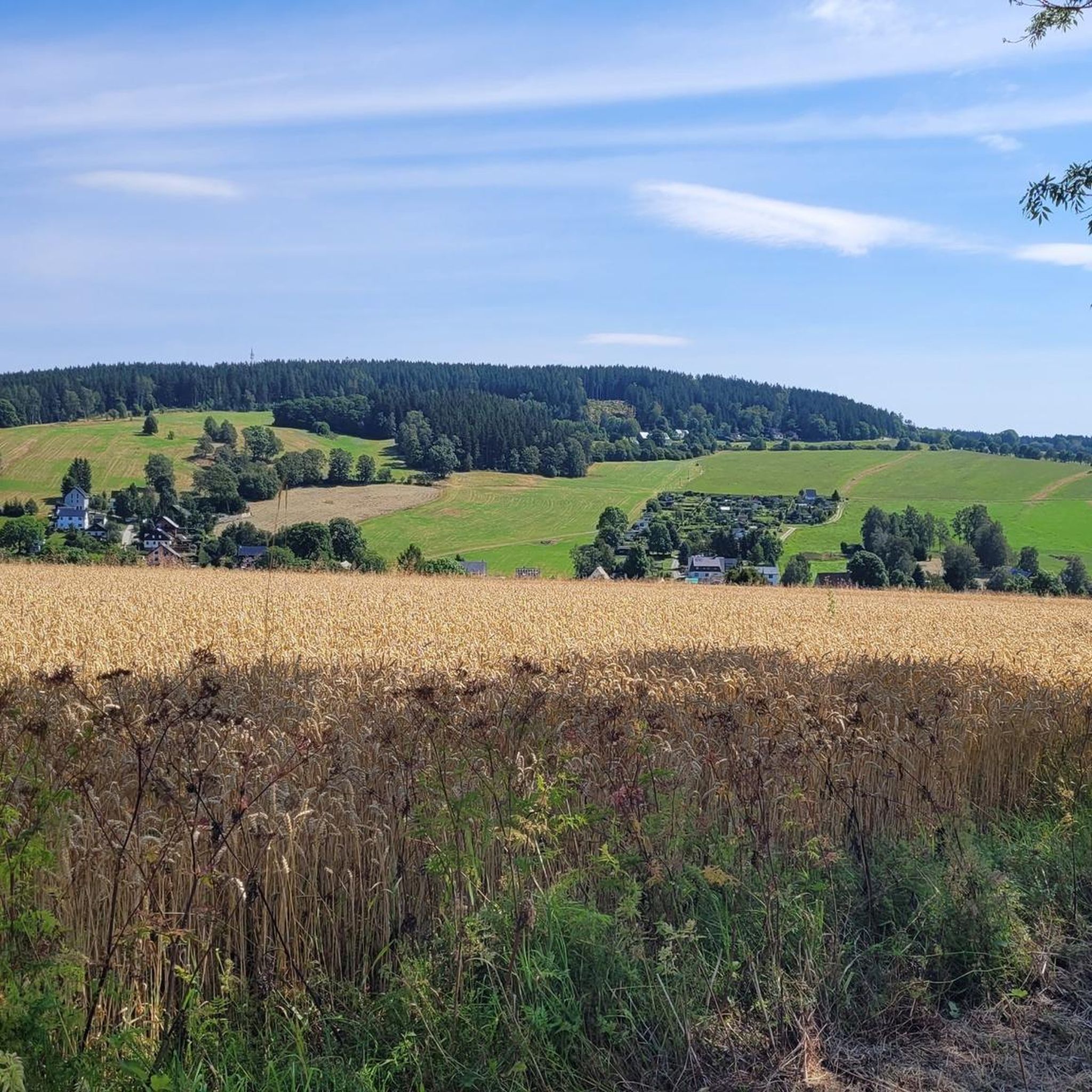
On the path between Walthersdorf and Sehma, on the Sehmaer Höhe, there are magnificent views at any time of day, including the Pöhlberg.
1
0
With every step, closer to the summit – the Fichtelberg climb on the Stoneman Miriquidi Road. From the intersection, it's not far anymore, and motivation gets a final boost.
1
0


The Catholic Church of St. Boniface belongs to the Catholic parish of "Mary, Mother of the Church." This parish stretches from Thum through Annaberg-Buchholz, Bärenstein, Oberwiesenthal, Marienberg, and Olbernhau to Neuhausen. In September 2021, St. Boniface celebrated the centenary of its consecration.
16
0
The first weather observer on this summit was the innkeeper of the Fichtelberghaus. He recorded his weather observations from 1890 onwards, but from 1898 onwards only intermittently, and from 1910 onwards not at all. The head of the Royal Saxon State Meteorological Observatory, Paul Schreiber, suggested the construction of a permanent weather observatory. Temperature, wind speed, and precipitation amounts have been continuously recorded here since January 1, 1916. The strongest storm recorded here was on January 3, 1976, with a peak gust speed of 216 kilometers per hour. The coldest day on the summit was February 9, 1956, with minus 30.4 degrees Celsius; the warmest was July 27, 1983, with plus 30.8 degrees Celsius. The highest snow cover was measured in March 1944: 3.35 meters. The year 1951 was bad for Fichtelberg tourists: it held the record for foggy days with 315.
13
1
Frequently Asked Questions
How many road cycling routes are available around Crottendorf?
The Crottendorf region offers a wide variety of road cycling routes, with over 200 options available. These routes cater to different fitness levels, ranging from easy to difficult, ensuring there's a suitable ride for everyone.
What kind of terrain can I expect when road cycling in Crottendorf?
Road cycling in Crottendorf and the Central Ore Mountains is characterized by its hilly nature, offering a diverse and engaging experience. You'll encounter significant elevation changes, including both demanding climbs and exhilarating descents. While most paths are paved, some routes may include unpaved sections, adding to the adventure.
What is the best time of year for road cycling in Crottendorf?
The best time for road cycling in Crottendorf is typically from spring through autumn, when the weather is milder and the landscapes are most vibrant. The region's extensive forests and scenic valleys are particularly beautiful during these seasons. Always check local weather forecasts before heading out.
Are there road cycling routes suitable for beginners or those seeking an easier ride?
Yes, Crottendorf offers routes suitable for various fitness levels. While many routes feature significant elevation, there are approximately 10 easy road cycling tours available. These routes are designed for those with good basic fitness looking for a less strenuous experience.
What do other cyclists say about road cycling in Crottendorf?
The road cycling routes around Crottendorf are highly rated by the komoot community, with an average score of 4.5 stars from over 150 reviews. More than 3000 road cyclists have explored the varied terrain, often praising the challenging climbs, scenic views, and diverse landscapes of the Ore Mountains.
How challenging are the road cycling routes in the Crottendorf region?
The Crottendorf region offers a good mix of challenges. Approximately 98 routes are rated as moderate, suitable for cyclists with good basic fitness, while 90 routes are considered difficult, requiring very good fitness due to significant elevation gains and longer distances. This variety ensures options for different skill levels.
Are there any routes with significant climbs, like to Fichtelberg?
Absolutely. The Fichtelberg, as the highest mountain in Saxony, is a prominent feature in many challenging routes. For instance, the Fichtelberghaus – Fichtelberg Ascent loop from Sehmatal involves substantial elevation gain towards the summit. Another demanding option is the Fichtelberghaus – Fichtelberg Ascent loop from Scheibenberg, which covers over 115 km with significant climbing.
What scenic viewpoints or landmarks can I discover along road cycling routes near Crottendorf?
The region is rich in scenic beauty. You can enjoy panoramic vistas from the 'Balkon des Erzgebirges' at the König-Albert-Turm near the Pumpspeicherwerk Markersbach. Other notable views include the 'Blick auf den Scheibenberg' and the 'Blick auf Annaberg vom Pöhlberg'. For natural features, consider routes that pass through the Schwarzwasser Valley or the Schwarzwassertal (Black Water Valley).
Are there any cultural or historical attractions accessible by road bike in the area?
Yes, Crottendorf and its surroundings offer cultural points of interest. You can explore the baroque Trinity Church from the 13th century or visit the Grenzwald Schnaps Museum. Nearby towns like Annaberg-Buchholz also offer museums and historical sites, and castles such as Schloss Schlettau and Renaissanceschloss Augustusburg are within cycling distance for a longer tour.
Are there circular road cycling routes available in Crottendorf?
Yes, many road cycling routes in Crottendorf are designed as loops, allowing you to start and end at the same point. Examples include the Fichtelberghaus – Fichtelberg Ascent loop from Sehmatal and the Quiet road on the Czech side – Bärenstein–Kühberg Cycle Path loop from Cranzahl, which offers scenic views across the border region.
Can I access road cycling routes using public transport in Crottendorf?
While specific public transport options for cyclists vary, the region is served by the historic Fichtelbergbahn narrow-gauge railway. This railway offers a unique way to experience the landscape and can be a starting point for some routes, though direct bike transport availability should be checked with the operator. For general public transport information in the region, you might find details on Wikivoyage Crottendorf.
Are there any road cycling routes that cross into the Czech Republic?
Yes, given Crottendorf's proximity to the Czech border, some routes offer the opportunity to cycle across. The Quiet road on the Czech side – Bärenstein–Kühberg Cycle Path loop from Cranzahl is a moderate route that provides scenic views and a varied profile as it crosses into the border region, allowing you to experience both German and Czech landscapes.
Most popular routes around Crottendorf
Most popular attractions around Crottendorf

Get inspired with the komoot mobile app


Explore more
Browse the best Road cycling routes in other regions.
