The best walks and hikes in Lolo National Forest
5.0
(28)
997
hikers
33
hikes
Hiking in Lolo National Forest, located in western Montana, offers a diverse landscape characterized by dense coniferous forests, rugged mountains, and numerous rivers and lakes. The terrain includes varied elevations, from river valleys to higher mountain passes, providing a range of experiences for hikers. This vast area is part of the Northern Rocky Mountains, featuring a mix of wilderness areas and accessible trails. The natural features support a rich ecosystem, making it a destination for those seeking outdoor exploration.
Best hiking trails in Lolo National Forest
- The most popular hiking route is Morrell Lake and Falls — Lolo National Forest, a 5.4 miles (8.7 km) trail that takes 2 hours 19 minutes to complete. This moderate route leads to a scenic lake and waterfall.
- Another top favourite among local hikers is Blossom Lakes Trail out and back – Lolo National Forest, a moderate 7.0 miles (11.2 km) path. This trail explores a series of alpine lakes within the forest.
- Local hikers also love the Rattlesnake Trail to Wallman Trail — Rattlesnake National Recreation Area, a 5.4 miles (8.8 km) trail leading through forested terrain, often completed in about 2 hours 20 minutes.
- Hiking in Lolo National Forest is defined by dense forests, mountain views, and pristine lakes. The network offers options for different ability levels, from easy day hikes to more challenging multi-day excursions.
- The routes in Lolo National Forest are highly rated by the komoot community with an average score of 5.0 stars from over 10 reviews. More than 500 hikers have used komoot to explore Lolo National Forest's varied terrain.
Last updated: October 11, 2026
8
hikers
7.27km
02:10
230m
230m
Embark on the Blue Mountain Rocky Top Loop, a moderate hike that spans 4.5 miles (7.3 km) and climbs 743 feet (227 metres). This route typically takes around 2 hours and 9 minutes to complete, offering varied terrain from gentle slopes to steeper, rockier sections. As you hike, you will be treated to expansive vistas of the valley, including Missoula, Lolo Peak, and the Sapphire and Bitterroot Mountains, often framed by ponderosa pines and wildflowers like arnica and fireweed.
This popular trail is part of the Blue Mountain Recreation Area, a hub for outdoor activities. You should expect to share the path with mountain bikers, runners, and even horseback riders, so stay aware of your surroundings. Always check local conditions before heading out, as weather and seasonal changes can affect the trail.
The Blue Mountain Rocky Top Loop stands out as a key part of the larger Blue Mountain Recreation Area, known for its diverse recreational opportunities. Its popularity stems from its accessibility and the rewarding views it offers, making it a favorite for those looking to experience the natural beauty of the region without venturing too far from Missoula.
7
hikers
8.88km
02:35
250m
240m
Embark on the Sawmill Curry Gulch Loop Trail for a moderate hiking experience that takes you through varied terrain. You will primarily gain a ridge and follow it, enjoying the natural beauty of the area, especially if you visit during autumn when luscious foliage and bright sunshine can enhance your journey. The route covers 5.5 miles (8.9 km) with an elevation gain of 804 feet (245 metres), offering a good workout without being overly strenuous. Expect to spend around 2 hours and 35 minutes completing this loop, with a gradual incline through the Curry Gulch section.
When planning your visit, be aware that trail conditions can change with the seasons. In winter and early spring, you might encounter ice and mud, so proper footwear is essential. During the warmer summer months, rattlesnakes can be active, and mosquitoes may be present, so remember to pack bug spray. It is also a good idea to check for any recent reports of downed trees that could obstruct the path.
This loop trail is situated within the Rattlesnake National Recreation Area, a region celebrated for its natural beauty and diverse landscapes. The route offers a substantial outing for hikers looking to explore this specific part of the recreation area. Its design, with a section descending through Curry Gulch, provides a unique perspective on the local topography. The gradual incline in Curry Gulch makes for a steady and enjoyable part of your hike.

7
hikers
3.61km
01:09
180m
90m
The Sam Braxton and 9.2 Trail offers a delightful escape into the Lolo National Forest near Missoula, winding through serene groves of mature western larch and ponderosa pine trees. You'll follow a singletrack path that occasionally reveals remnants of old Missoula homesteads, adding a touch of history to your journey, and even passes above the area's ski trails. It's a pleasant, easy hike that provides a refreshing forest experience.
This 2.2-mile (3.6 km) route, with its 589 feet (180 metres) of elevation gain, can be completed in about 1 hour and 8 minutes, making it ideal for a quick outing. While generally well-marked, keep an eye on your navigation as old horse-logging skid trails can sometimes crisscross the main path. The trail is multi-use and welcomes dogs, especially in winter when it's the only ski trail in the Pattee Canyon complex where they are permitted.
Named after Sam Braxton, a notable Missoula outdoorsman, this trail is a popular spot for various activities beyond hiking, including mountain biking, trail running, and snowshoeing. Its accessibility and easy difficulty make it a great choice for families or anyone seeking a straightforward, enjoyable walk in nature, offering a peaceful alternative to more strenuous options in the region.
1
hikers
5.69km
01:46
340m
0m
If you're looking for a solid climb with incredible payoffs, the Mount Sentinel via Crazy Canyon trail delivers. This route winds through thinned Ponderosa Pine forests, gradually revealing expansive views of the Missoula Valley and the winding Clark Fork River. Keep an eye out for the notable "Grandfather Tree" as you ascend, and in May and June, the trail bursts with wildflowers. The final push to the 5,158-foot summit of Mount Sentinel is steep, but rewards you with vistas stretching to the Bitterroot and Sapphire mountain ranges.
Planning your visit is easy, as the Crazy Canyon trailhead offers good parking and convenient bathrooms. This moderate 3.5-mile (5.7 km) hike, with its 1114 feet (339 metres) of elevation gain, typically takes about 1 hour and 45 minutes. It's a dog-friendly trail, but remember to keep your furry friends on a leash to protect the local wildlife. Consider an early start to enjoy the cooler temperatures and avoid peak traffic.
This trail serves as an excellent alternative to the more heavily trafficked "M" trail for reaching the summit of Mount Sentinel, offering a similar challenge and equally stunning views with potentially fewer crowds. It's a multi-use path, popular for hiking, trail running, and even snowshoeing in winter. The trail also connects to other routes, like the Hellgate Canyon Trail, providing options for longer or varied adventures if you want to explore more of the Missoula area.
1
hikers
6.61km
02:03
260m
240m
The Blue Mountain Loop is a moderate hiking route that offers expansive views of Missoula and the surrounding valley. As you hike the 4.1 miles (6.6 km), the trail winds through a natural forest landscape, providing serene beauty and panoramic outlooks. You will gain 838 feet (255 metres) in elevation, making this a rewarding outing. Expect to complete the loop in about 2 hours and 2 minutes at a steady pace.
Planning your hike on the Blue Mountain Loop is straightforward, with convenient parking available right at the trailhead. Before you head out, always check local conditions, especially if you plan to visit during the shoulder seasons. This ensures you will have the best possible hiking experience. Consider starting your hike earlier in the day to enjoy cooler temperatures and fewer people on the trail.
This loop is a notable feature within the Lolo National Forest, providing a distinct opportunity to experience the region's natural environment. The trail's design allows you to fully immerse yourself in the forest while still enjoying the impressive vistas. It stands out as a well-maintained path that highlights the area's scenic beauty for all hikers.
Get access to more routes and recommendations from other explorers.
Already have an account?
Our route recommendations are based on thousands of hikes, rides, and runs completed by other people on komoot.
Start today with a free account
Your next adventure awaits.

Tips from the Community

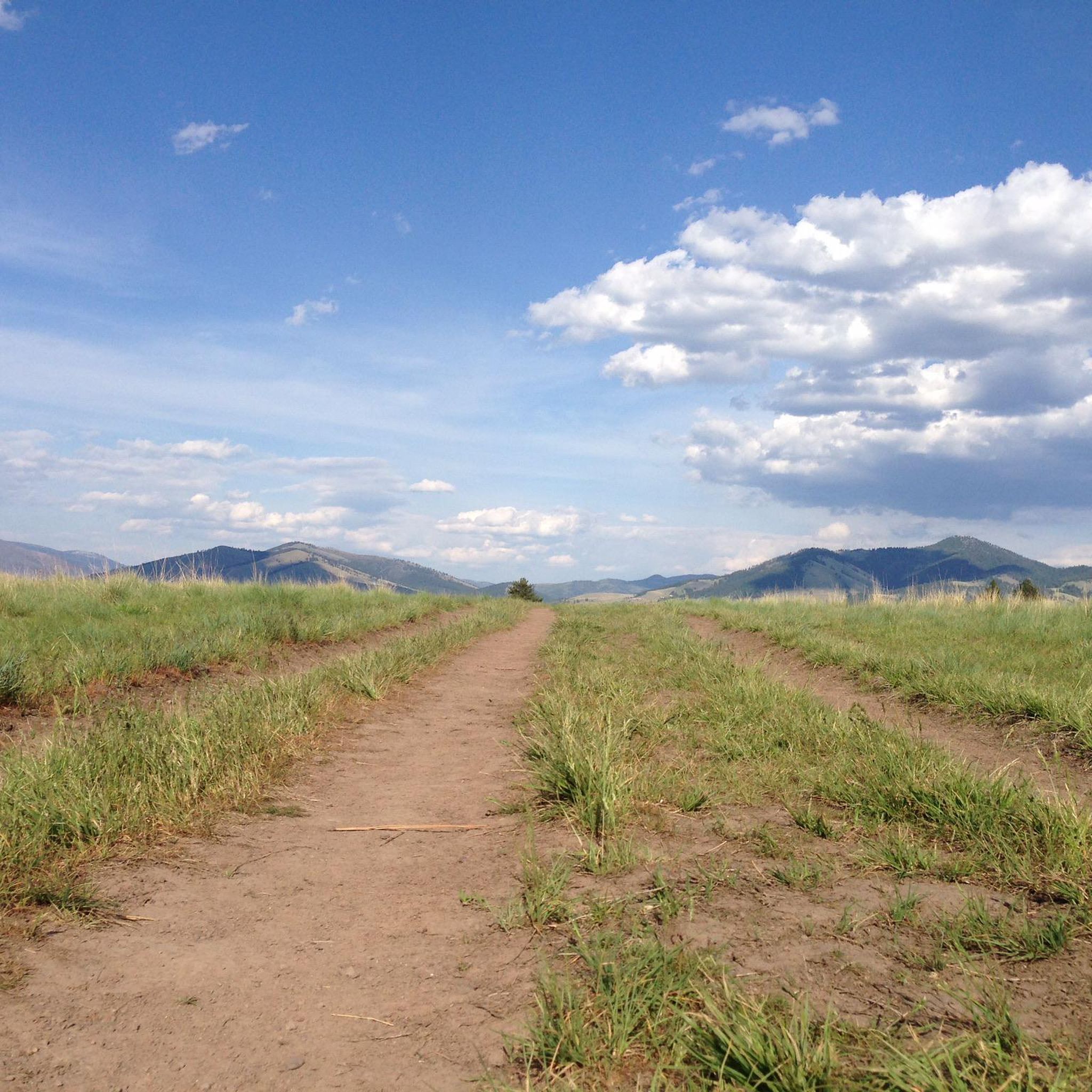
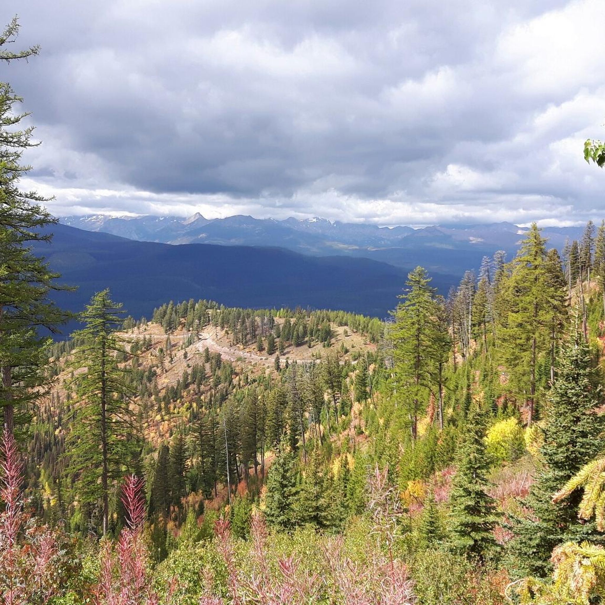
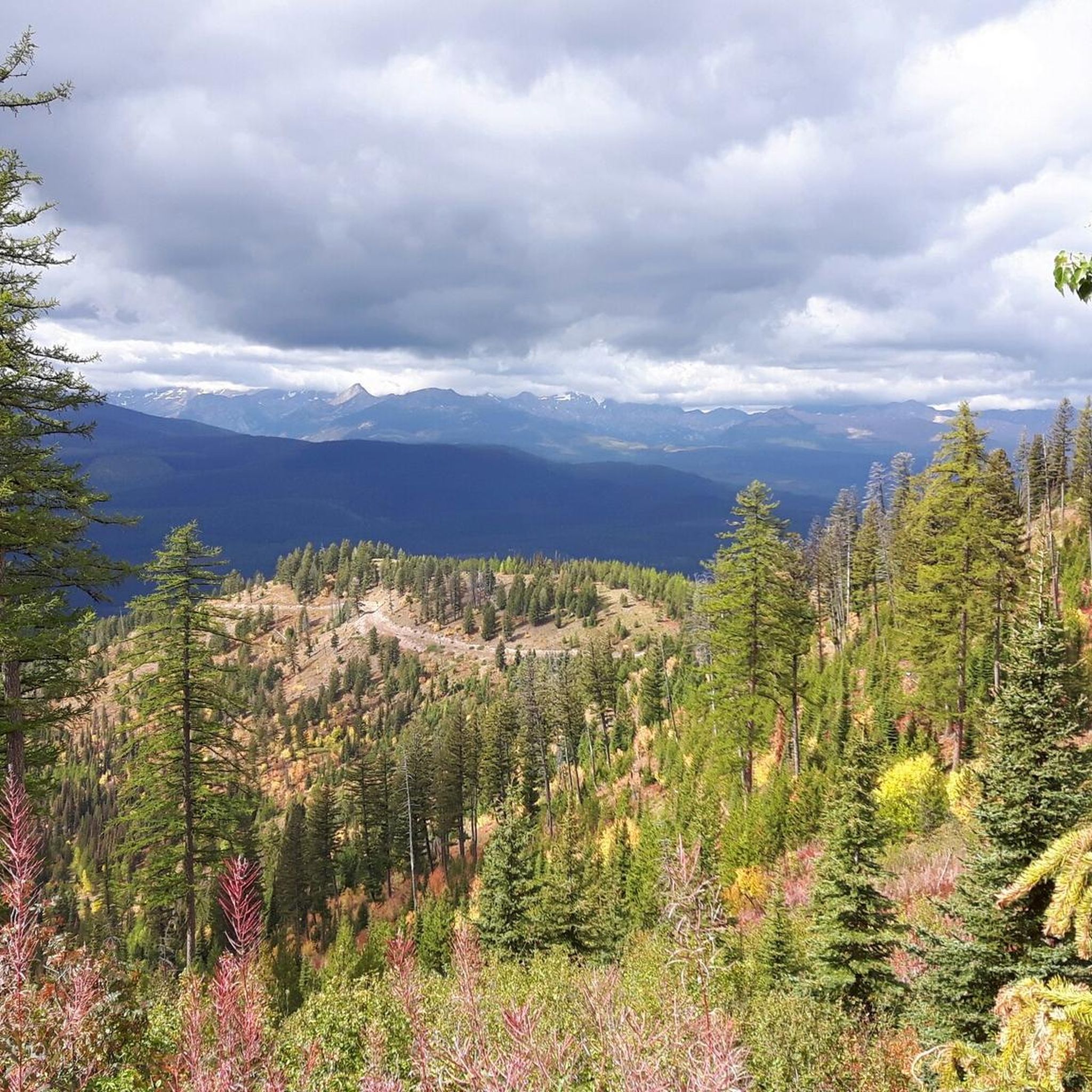
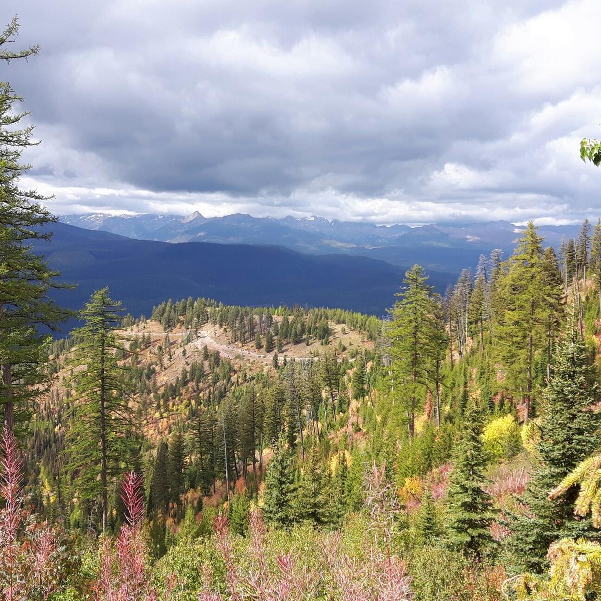
This is a jumping off point for a lot of trails. There's a couple of easy options through the valley and some others that climb up the ridgelines and lead to some great views.
0
0

From the trail, there is a nice view of the valley just before the land kicks up into the mountains. You can parts of the Bitterroot River and into Missoula.
0
0
This is a jumping off point for a lot of trails. There's a couple of easy options that roll through the valley and some others that climb up the ridgelines and lead to some great descents.
1
0

From the top of Mount Sentinel there is a beautiful view of Missoula. Great spot to enjoy the sunset.
0
0

Just like the Forests of Endor in A galaxy far far away!
0
0
Frequently Asked Questions
How many hiking trails are available in Lolo National Forest?
Lolo National Forest offers nearly 30 hiking routes, catering to a range of preferences. You'll find options from easy strolls to more challenging multi-day excursions.
Are there hiking trails for all skill levels in Lolo National Forest?
Yes, Lolo National Forest provides a variety of trails suitable for different abilities. There are 2 easy routes, 17 moderate trails, and 8 difficult paths, ensuring options for both casual walkers and experienced hikers.
What kind of natural features can I expect to see on hikes in Lolo National Forest?
Hiking in Lolo National Forest often leads to scenic natural features. For example, the Morrell Lake and Falls — Lolo National Forest route takes you to a beautiful lake and waterfall. Other trails, like Blossom Lakes Trail out and back – Lolo National Forest, explore a series of alpine lakes.
Are there any loop trails in Lolo National Forest?
Yes, Lolo National Forest features several loop trails for those who prefer not to retrace their steps. An example is the Spring Gulch, Wallman and Rattlesnake Trails Loop, which offers a diverse experience through forested terrain.
What do other hikers enjoy most about Lolo National Forest?
The hiking routes in Lolo National Forest are highly rated by the komoot community, with an average score of 5.0 stars from over 17 reviews. Hikers often praise the dense forests, mountain views, and pristine lakes that define the area's natural beauty.
Are there any challenging multi-day hikes in Lolo National Forest?
Yes, for those seeking a more demanding adventure, Lolo National Forest offers several difficult routes. The Blackfoot Falls Loop — Scapegoat Wilderness is a challenging 21.2 km (13.2 miles) trail that takes over 5 hours to complete, making it suitable for experienced hikers looking for a longer excursion.
What are some notable trails or points of interest within Lolo National Forest?
Beyond specific routes, Lolo National Forest has several notable trails that serve as points of interest. These include the Kim Williams Trail, Deer Creek Sneak Trail, and the Rattlesnake Trail. These trails offer various experiences within the forest's diverse landscape.
How long do hikes typically take in Lolo National Forest?
Hike durations in Lolo National Forest vary significantly depending on the route's length and difficulty. For instance, a moderate trail like Morrell Lake and Falls — Lolo National Forest can be completed in about 2 hours 19 minutes, while more challenging routes can take over 5 hours.
Are there any trails that lead to waterfalls in the area?
Yes, you can find trails that lead to waterfalls in Lolo National Forest. The Morrell Lake and Falls — Lolo National Forest route is a popular choice that guides you to a scenic waterfall and lake.
Are there any trails suitable for families with children?
While specific 'family-friendly' designations are not always explicit, trails with 'easy' or 'moderate' difficulty and shorter distances are generally suitable for families. With 2 easy and 17 moderate routes, you'll find options that can be enjoyed by various age groups.
What is the typical elevation gain on trails in Lolo National Forest?
The elevation gain varies widely across trails in Lolo National Forest, reflecting the diverse terrain from river valleys to mountain passes. Moderate routes like Morrell Lake and Falls — Lolo National Forest have a relatively low gain of around 92 meters, while others can feature several hundred meters of ascent.
Most popular routes in Lolo National Forest
Most popular attractions in Lolo National Forest

Get inspired with the komoot mobile app


Explore more
Browse the best Hikes in other regions.
