The best running trails in Dixie National Forest
4.0
(6)
242
runners
21
runs
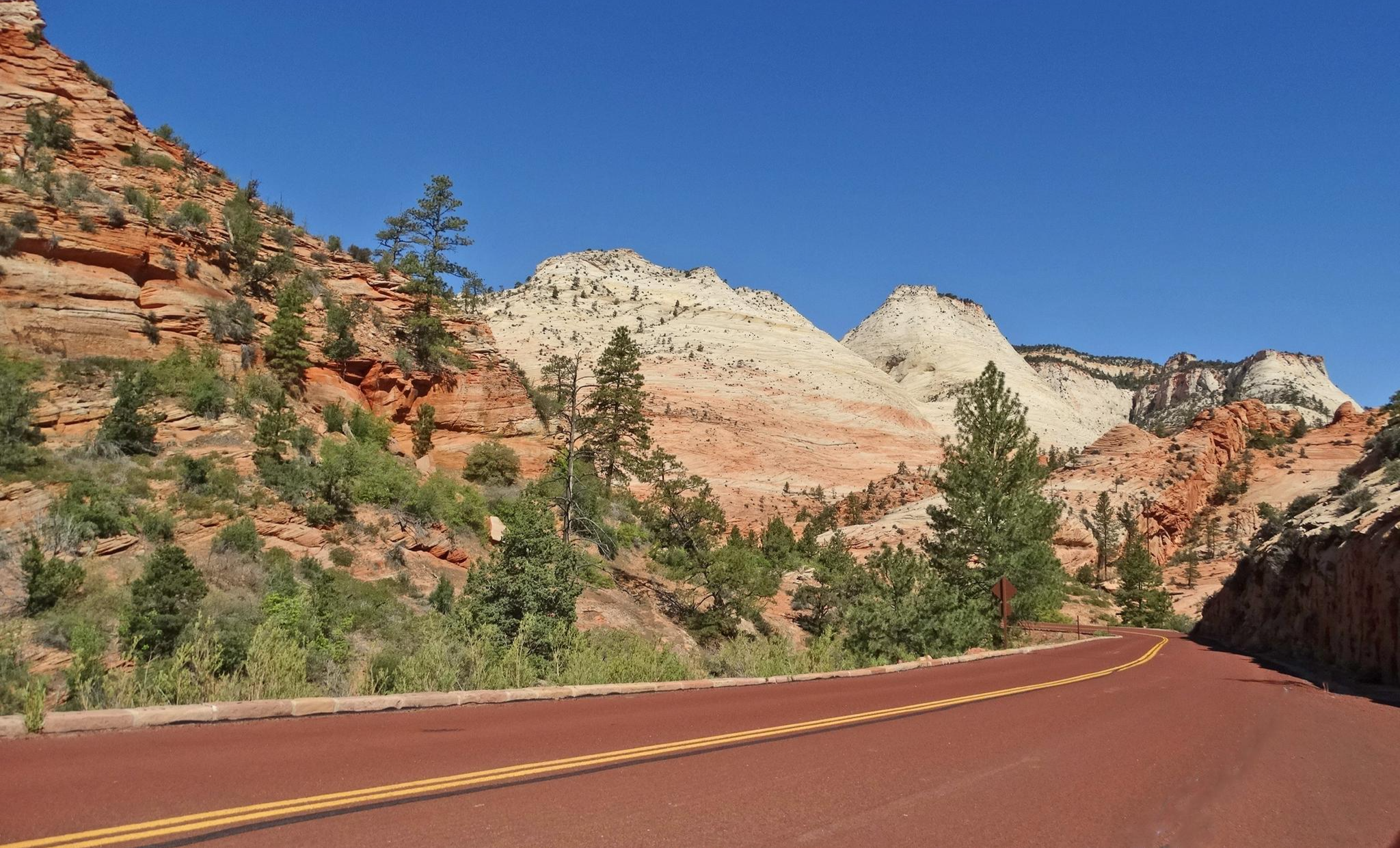
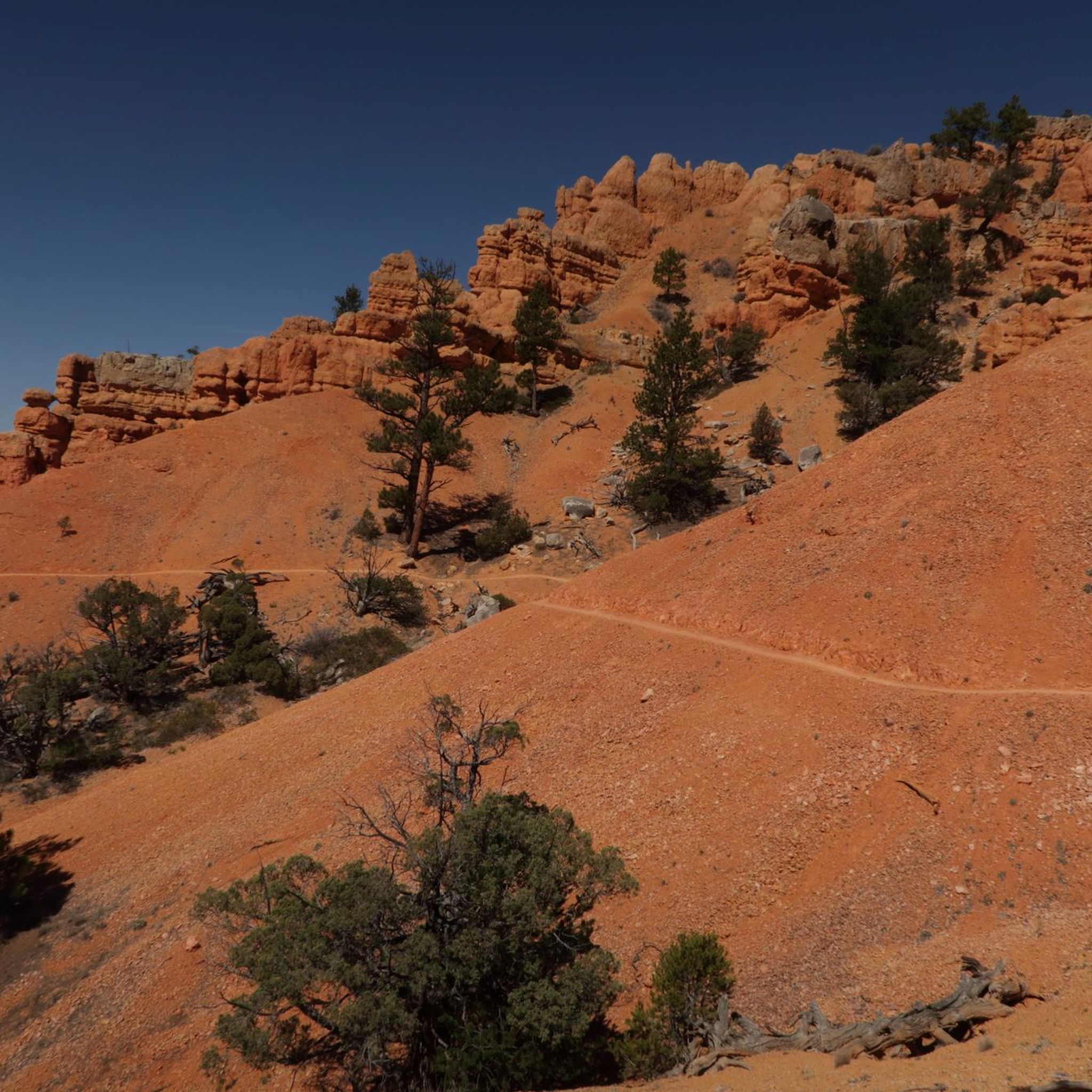
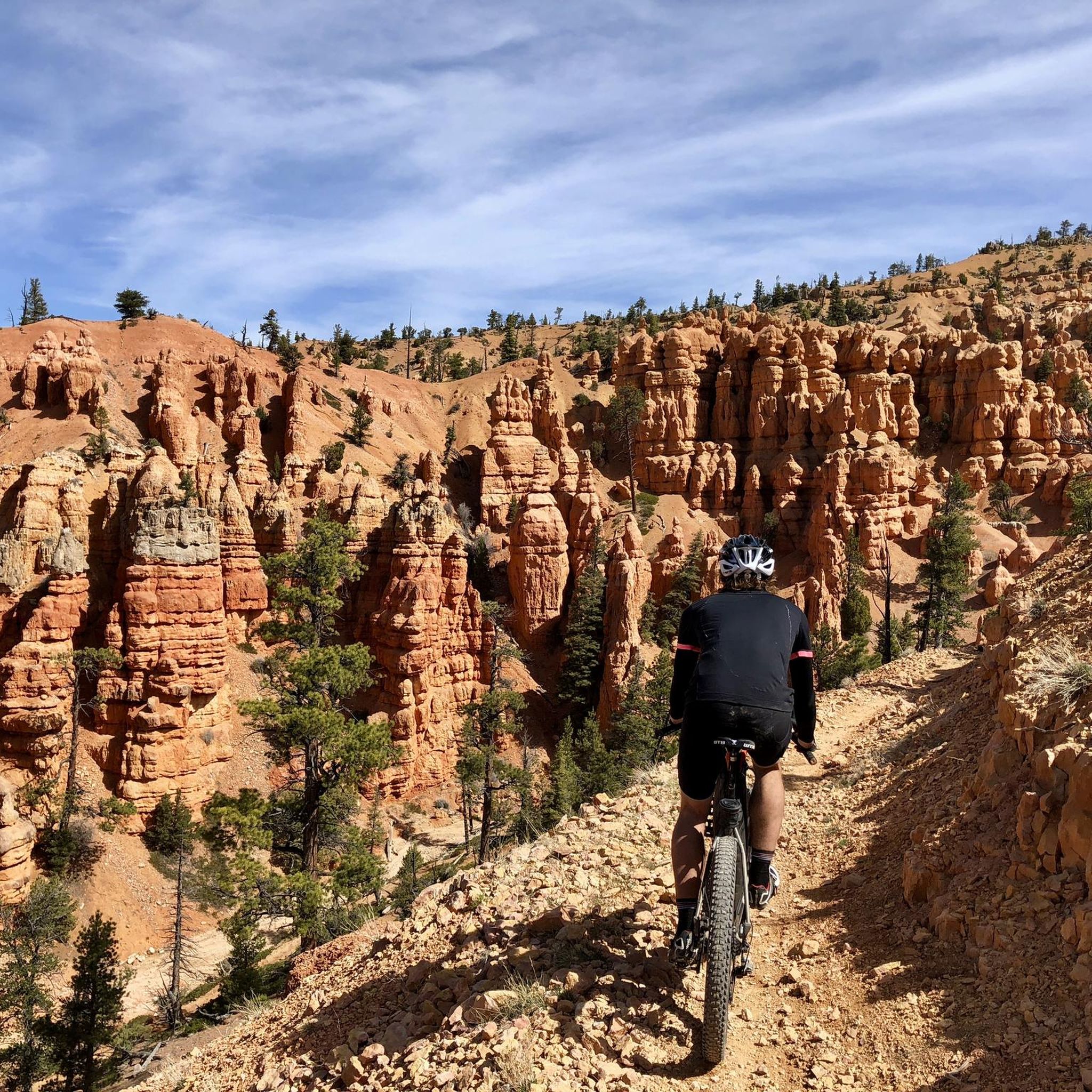
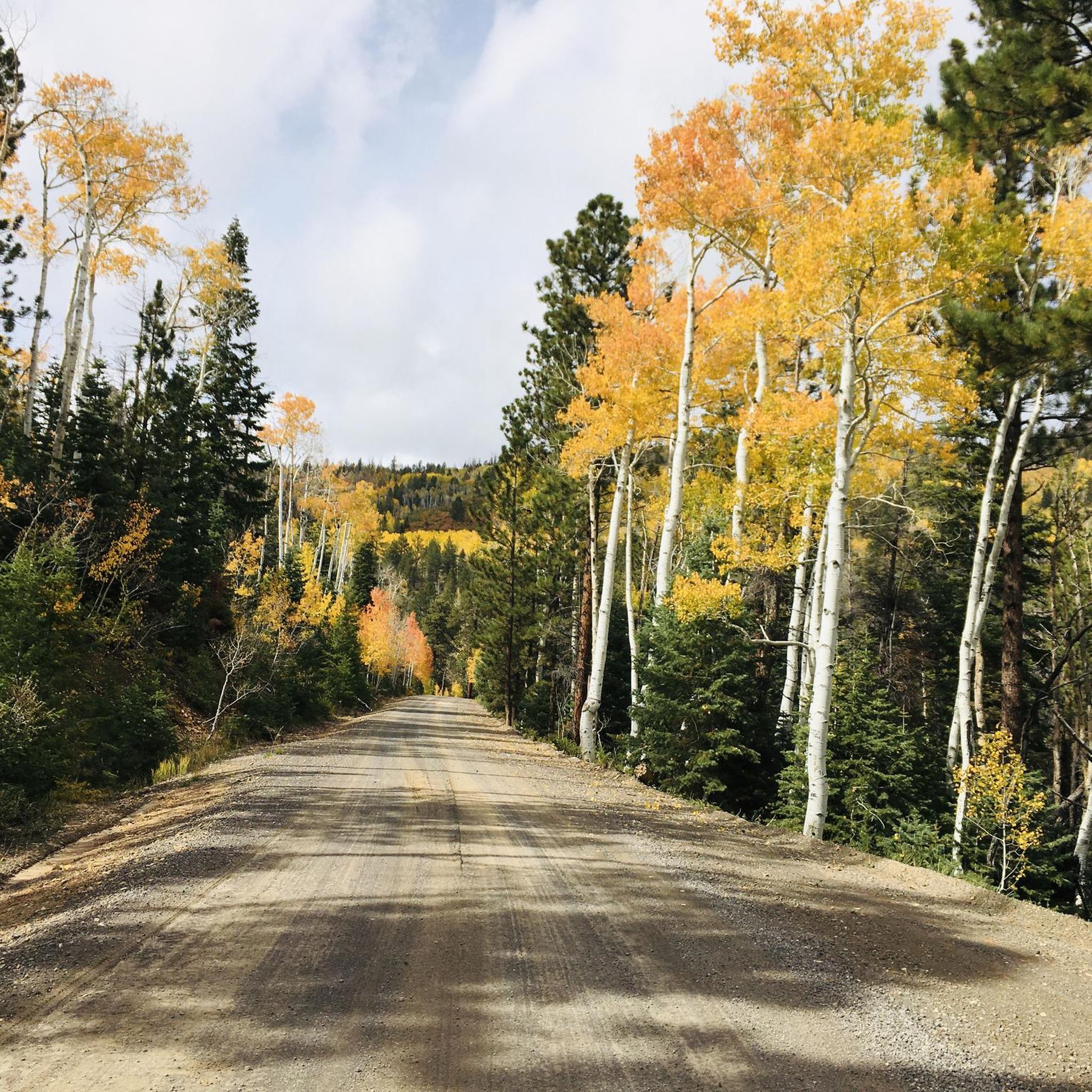
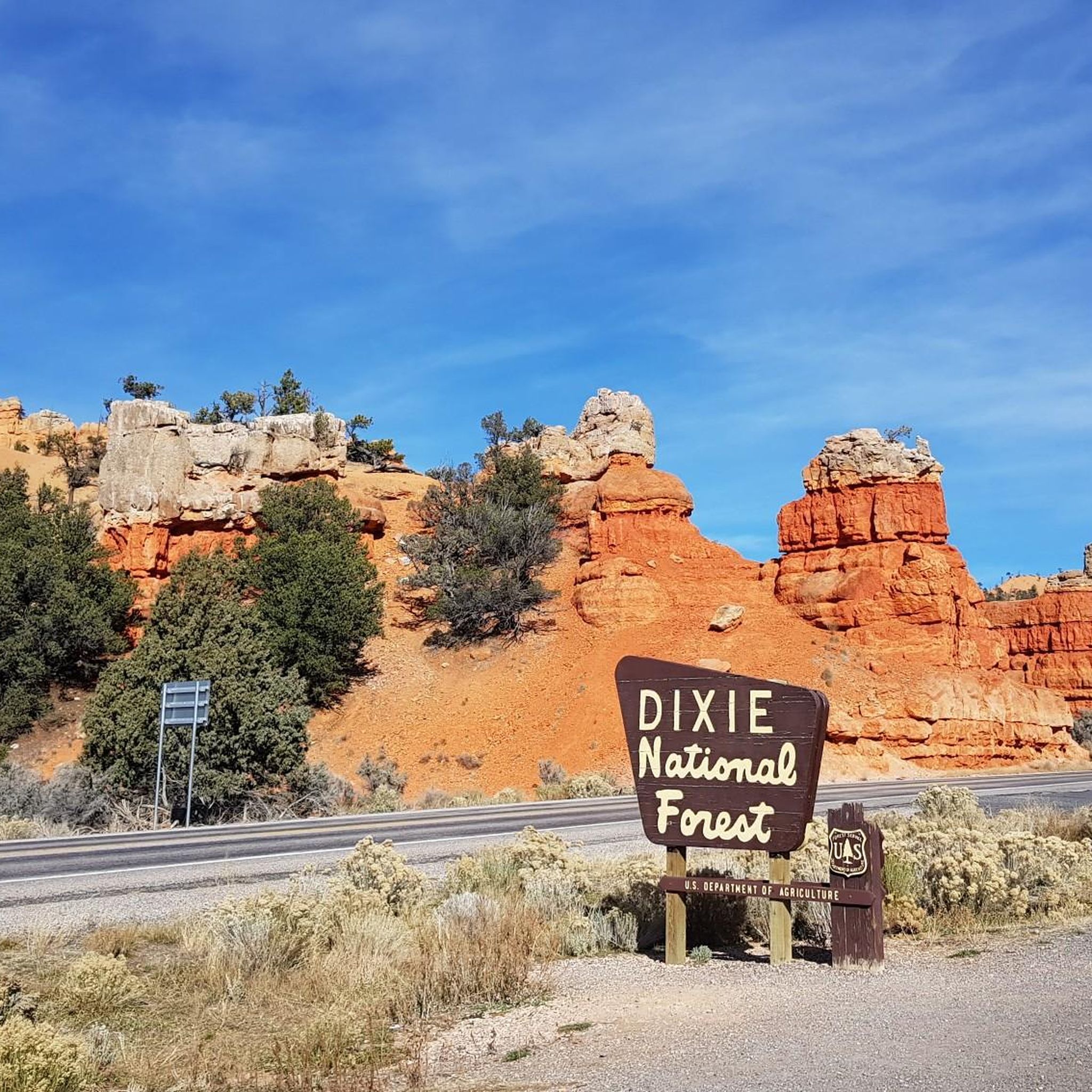
Jogging in Dixie National Forest offers diverse terrain across nearly two million acres in southern Utah. The region features varied elevations, from lower red rock formations and canyons to higher mountain forests and plateaus. Runners can experience landscapes characterized by vibrant cliffs, distinctive "hoodoos," pine-covered mountains, and lush meadows. Numerous alpine lakes and streams are also present, providing varied backdrops for running routes.
Best jogging routes in Dixie National Forest
- The most popular jogging route is Yant Flat Trail,…
Last updated: July 7, 2026
2
runners
5.09km
00:38
80m
80m
Jog the moderate 3.2-mile Yant Flat Trail, known as the Candy Cliffs, to experience vibrant, otherworldly sandstone formations.
19.0km
02:23
340m
340m
Jogging the difficult Pine Valley Loop, you'll cover 11.8 miles (19.0 km) with 1124 feet (342 metres) of elevation gain in about 2.5 hours.

Sign up for free
12.3km
01:37
320m
320m
Jog the difficult 7.6-mile Pilot Peak Trail in Dixie National Forest, gaining 1061 feet with scenic views of surrounding peaks.
3.0
(1)
24
runners
Moderate run. Good fitness required. Mostly paved surfaces. Suitable for all skill levels.
5.0
(1)
19
runners
Moderate run. Good fitness required. Mostly paved surfaces. Suitable for all skill levels.
Get access to more routes and recommendations from other explorers.
Sign up for free
Already have an account?
Our route recommendations are based on thousands of hikes, rides, and runs completed by other people on komoot.
Start today with a free account
Your next adventure awaits.
Login or Signup

Other adventures in Dixie National Forest

Tips from the Community

Great view of the historic Tropic Ditch. Tropic Ditch is a 10‑mile hand‑dug irrigation canal that was ompleted by Mormon settlers in 1892.
0
0
The Bryce Canyon Multi-use Path is an 18-mile path that connects the hoodoos of Red Canyon with Inspiration Point. The trail is fully paved and popular with walkers, runners, and cyclists.
0
0

Rim Trailhead (North) is a great starting point for a run or a walk along Bryce Canyon’s famous rim. The trail gives you wide views over the hoodoos right from the start, with a mostly flat and runnable surface if you head toward Fairyland Point. Expect big views, soft dirt underfoot, and plenty of reasons to pause and take it all in.
0
0
This multi-use path runs from Bryce Canyon City to Inspiration Point, offering an easy ride with amazing views of the park. The trail is family-friendly and a great way to explore away from the main roads.
0
0

In 1916, Reuben C. (Ruby) Syrett brought his family to the wilderness of southern Utah and started a farm near the present location of Ruby's Inn. A few weeks after his arrival, another farmer in the area told Ruby about the canyon called Bryce. Ruby and his family visited the edge of the canyon. They were so impressed by what they saw that they not only started telling people about the beauties of the canyon, but they also became hosts to the visitors. In 1919 they had received permission from the state to build a lodge, the "Tourist Rest", near the edge of the canyon. In 1923, when Bryce Canyon became a National Monument, Ruby moved his "Tourist Rest" to the site of his ranch and named it Ruby's Inn. The post office located in the inn and still serves the area year-round. Ruby's reputation grew as the National Monument became a National Park, and soon Ruby's Inn became a major business. What started with tents and a place to serve meals paved the way for the modern facilities that today serve tourists in Bryce Canyon and give all travelers a pleasant stay in the Bryce Canyon area. Enthusiasm and love for the Bryce area were passed on to Ruby's son Carl. Today, the same Western hospitality and friendly service is carried on by Carl's children and grandchildren, who still run the business.
0
0

The tallest peak in the Pine Valley Mountain Range is Signal Peak at 10,365 feet. The mountains run through parts of Dixie National Forest and Red Cliffs National Conservation Area.
0
0
Orange and white-colored sandstone formations that overlook Cottonwood Canyon
1
0
No swimming or boating is allowed, as per the regulations from the United States Department of Agriculture. Fishing is allowed.
0
0
Frequently Asked Questions
How many running routes are available in Dixie National Forest?
Dixie National Forest offers a wide selection of running routes, with over 20 routes available for exploration on komoot. These routes cater to various skill levels, from moderate paths to more challenging long-distance runs.
Are there easy running trails for beginners in Dixie National Forest?
Yes, Dixie National Forest has several easy running trails suitable for beginners. There are 4 routes specifically rated as easy, allowing you to enjoy the scenic beauty without overly strenuous effort. For example, the View of Tropic Ditch – Bryce Canyon Multi-use Path loop from Bryce Canyon City is a moderate option that offers stunning red rock scenery.
What are some challenging long-distance running routes in Dixie National Forest?
For runners seeking a challenge, Dixie National Forest features 7 difficult routes. The Pine Valley Loop is a notable difficult route, spanning 11.8 miles (19.0 km) and winding through high mountain forests with significant elevation changes. Another demanding option is the Pilot Peak Trail, which covers over 12 km with substantial elevation gain.
What kind of landscapes can I expect to see while running in Dixie National Forest?
Running in Dixie National Forest offers incredibly diverse landscapes. You'll encounter stunning red rock formations and canyons, including areas reminiscent of Bryce Canyon with vibrant cliffs and 'hoodoos'. At higher elevations, the scenery transitions to pine-covered mountains, dense forests of ponderosa pine and aspen, and lush meadows. Numerous alpine lakes like Navajo Lake and hundreds of miles of streams also provide picturesque backdrops.
Are there any running routes that offer great viewpoints or natural attractions?
Absolutely! Many running routes in Dixie National Forest provide access to breathtaking viewpoints and natural attractions. The region is known for its red rock scenery, and you can find trails near the Red Canyon Visitor Center, offering unique red spires and cliffs. The Cascade Falls Overlook and Brian Head Peak also provide stunning vistas. The 8.6-mile Navajo Lake Loop, while not explicitly listed in the guide, is a popular scenic option with clear blue waters and mountain views.
What is the best time of year to go running in Dixie National Forest?
The best time to go running in Dixie National Forest depends on the elevation and your tolerance for temperatures. Lower elevations can experience extreme heat, exceeding 100°F in summer, while higher areas offer cooler temperatures. Spring and fall generally provide more moderate conditions across various elevations. Winter brings below-zero temperatures at higher altitudes, making some trails challenging or inaccessible due to snow.
Are there any loop running trails in Dixie National Forest?
Yes, there are several loop running trails available. The Pine Valley Loop is a significant 11.8-mile difficult loop. Another popular option is the View of Tropic Ditch – Bryce Canyon Multi-use Path loop from Bryce Canyon City, a moderate 4.3-mile loop that showcases red rock scenery.
What do other runners enjoy most about the trails in Dixie National Forest?
The running routes in Dixie National Forest are highly rated by the komoot community, with an average score of 4.3 stars from over 7 reviews. Runners often praise the diverse terrain, from unique sandstone formations on trails like Yant Flat Trail, to the high mountain forests and stunning red rock scenery. The variety of difficulty levels also makes it appealing to a wide range of abilities.
Are the running trails in Dixie National Forest dog-friendly?
While many trails in national forests are generally dog-friendly, it's always best to check specific regulations for Dixie National Forest, especially within designated wilderness areas or near sensitive wildlife habitats. Always keep your dog on a leash and practice Leave No Trace principles to ensure a positive experience for everyone and protect the natural environment.
Where can I find information about parking and trailhead access for running routes?
Information regarding parking and trailhead access for specific running routes in Dixie National Forest is typically available on individual route pages on komoot. When planning your run, check the details provided for each tour, as access points can vary. Many trails are well-established, but it's always wise to confirm logistics before heading out.
Are there any trails that feature unique geological formations?
Yes, Dixie National Forest is renowned for its unique geological formations. The Yant Flat Trail, for instance, leads through distinctive sandstone formations that create a visually striking landscape. The Red Canyon area, with its vibrant cliffs and 'hoodoos', also offers visually spectacular backdrops for runs, and you can explore trails like the Pink Ledges Trail or Golden Wall Trail there.
Most popular routes in Dixie National Forest
Most popular attractions in Dixie National Forest

Get inspired with the komoot mobile app


Explore more
Browse the best Running Trails & Routes in other regions.
