The best mountain hikes around Dam Lütsche
8
hikers
3
hikes
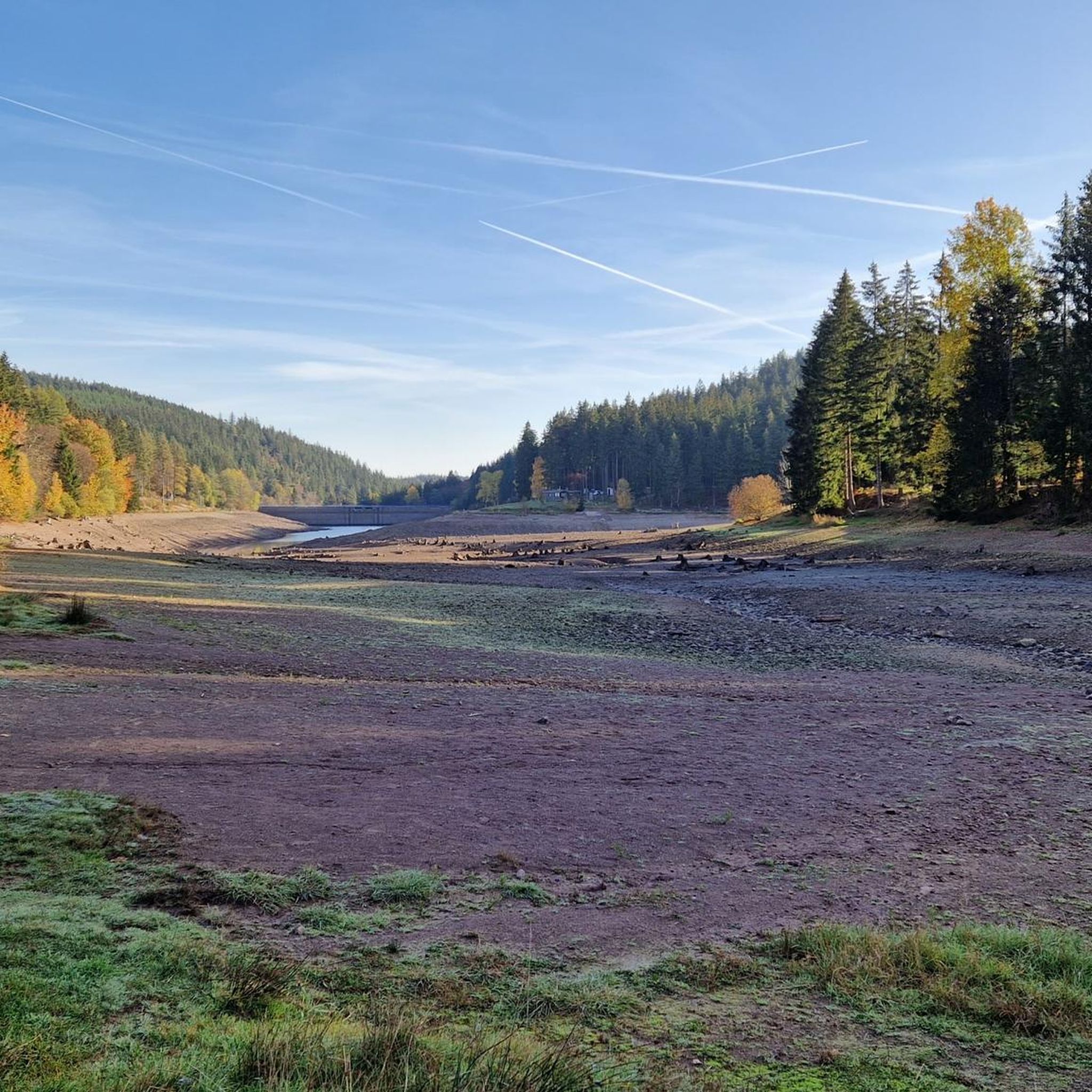
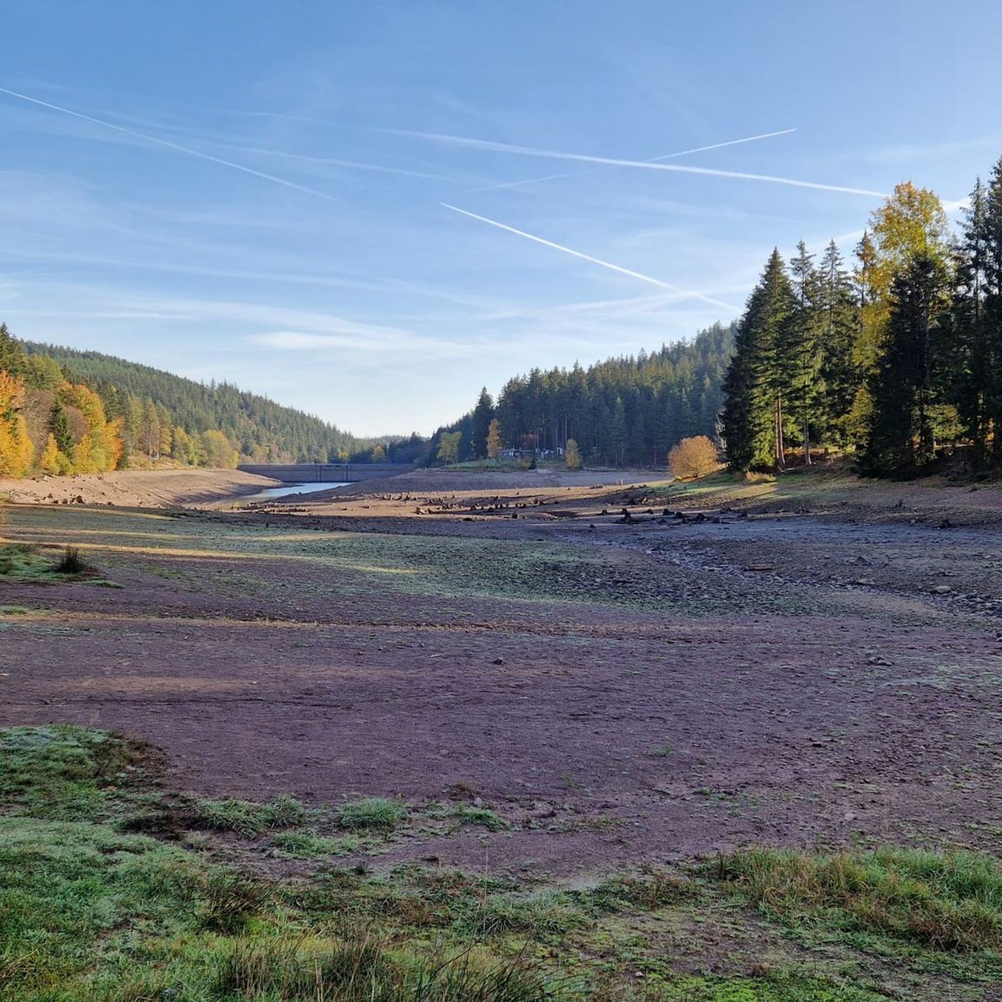
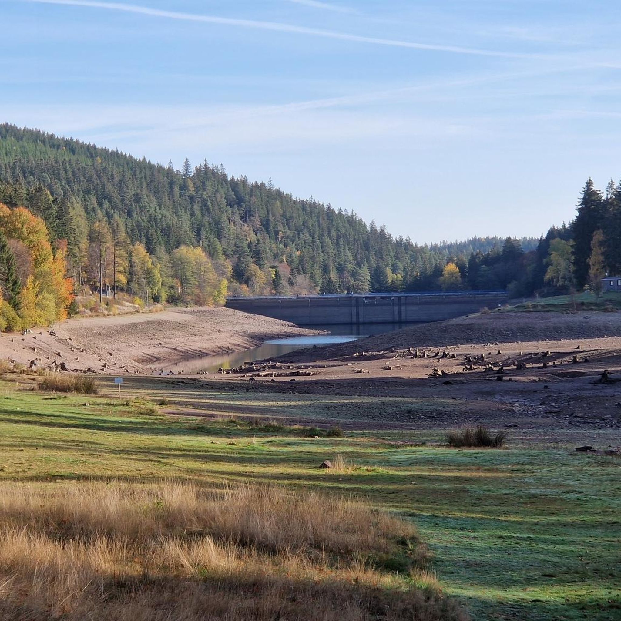
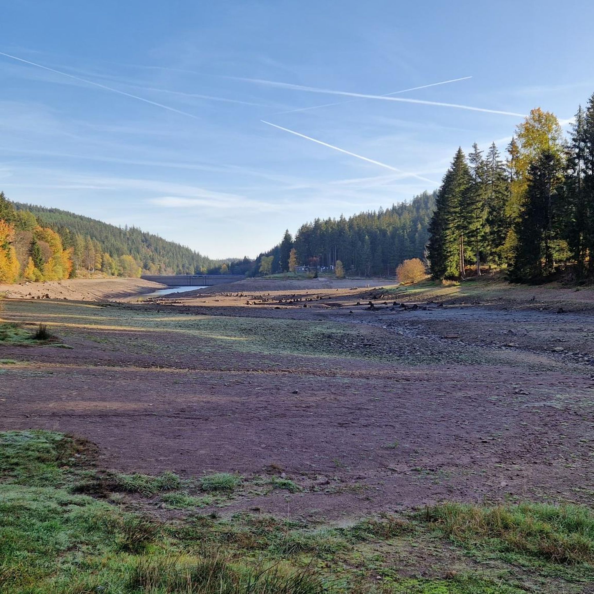
Mountaineering routes around Dam Lütsche traverse a landscape characterized by extensive forested areas, varied natural trails, and the central Lütschetalsperre reservoir. The terrain includes gravel paths and some asphalt sections, leading through idyllic mountain meadows with small streams. Elevations are moderate, with routes offering challenging hiking experiences rather than technical climbing.
Best mountaineering routes around Dam Lütsche
- The most popular mountaineering route is Shelter "Stein 16" – Violet fountain loop from Oberhof, a 4.7 miles (7.6 km) trail that…
Last updated: July 4, 2026
4
hikers
7.58km
02:06
130m
130m
Moderate mountaineering route. Good fitness required. Easily-accessible paths. Suitable for all skill levels.
1
hikers
6.89km
01:53
100m
100m
Easy mountaineering route. Great for any fitness level. Easily-accessible paths. Suitable for all skill levels.

Sign up for free
Easy mountaineering route. Great for any fitness level. Easily-accessible paths. Suitable for all skill levels.
3
hikers
Moderate mountaineering route. Good fitness required. Mostly accessible paths. Sure-footedness required.
Our route recommendations are based on thousands of hikes, rides, and runs completed by other people on komoot.
Start today with a free account
Your next adventure awaits.
Login or Signup

Other adventures around Dam Lütsche

Tips from the Community


It's a great place for hiking.
0
0

Wooden shelter with seating directly on the Rennsteig, as well as a stamping point.
6
0
Former Imperial Post Office with beautiful half-timbered architecture, built in 1889/90, today a pharmacy and residential building.
8
1

The Neue Gehlberger Hütte is located on the 978-meter-high Schneekopf mountain and is the highest-altitude serviced hut in Thuringia. It offers a cozy hiking hostel with shared rooms and a restaurant serving traditional Thuringian cuisine. Opening Hours: The restaurant is open daily from 10 a.m. to 5 p.m. – longer in summer. Breakfast for guests is served from 8 a.m. to 10 a.m.
2
0

A very beautiful facility
11
0

Not far from the ski jump at Kanzlersgrund, you can take a break here and refill your drinks.
0
0
Very nice water features👍
15
0
Frequently Asked Questions
How many mountaineering routes are available around Dam Lütsche?
There are several mountaineering routes around Dam Lütsche, offering a mix of easy and moderate challenges. The komoot community has mapped and explored at least 4 distinct routes in the area.
Are there any easy mountaineering routes suitable for beginners in Dam Lütsche?
Yes, Dam Lütsche offers easy routes perfect for beginners or those seeking a relaxed experience. Consider the Oberhof – Oberhof Winter Sports Center loop from Oberhof, a 4.2-mile path that combines natural and paved sections. Another accessible option is the Axel Shelter on the Rennsteig – Grenzadler Shelter loop from Schützenbergmoor, which is just under 3.6 miles long.
What kind of terrain can I expect on the mountaineering routes in Dam Lütsche?
The routes around Dam Lütsche feature varied terrain, including natural trails, gravel paths, and some asphalt sections. You'll traverse idyllic mountain meadows with small streams and extensive forested areas, offering a diverse and picturesque experience.
Are there any circular mountaineering routes in the Dam Lütsche area?
Yes, many routes in Dam Lütsche are designed as loops, allowing you to start and end in the same location. For example, the Shelter "Stein 16" – Violet fountain loop from Oberhof is a popular moderate 4.7-mile circular trail through forested areas.
What are some notable landmarks or viewpoints along the mountaineering routes?
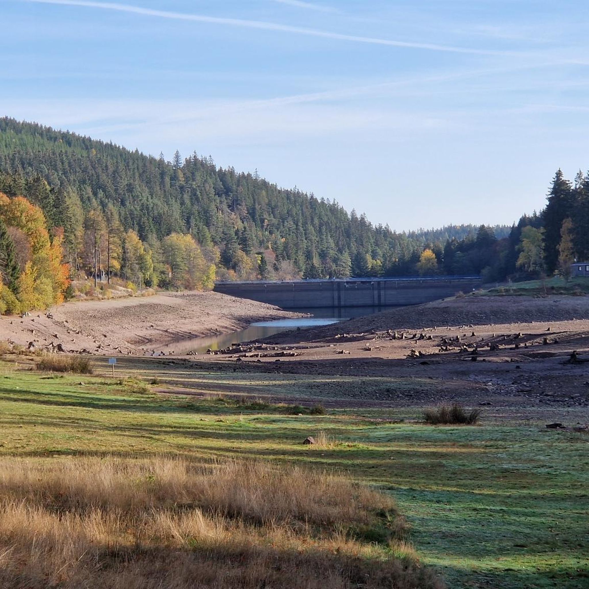
The central feature of the region is the beautiful Lütsche Dam and its reservoir. You can enjoy stunning views, such as the View of the Lütsche Reservoir from the dam. The region also features historical elements like the Lütsche-Flößgraben, which is now a popular hiking trail.
Are the mountaineering routes around Dam Lütsche suitable for families?
While some routes require good fitness, there are easier options that families can enjoy. The varied terrain and natural beauty, especially around the Lütschetalsperre, make it a great place for outdoor exploration. Look for routes marked as 'easy' for a more family-friendly experience.
What do other mountaineers say about the routes in Dam Lütsche?
The routes in Dam Lütsche are highly rated by the komoot community, with an average score of 5.0 stars. Mountaineers often praise the quiet woodlands, the scenic Lütschetalsperre reservoir, and the well-maintained paths that offer a rewarding outdoor experience.
Can I find routes that offer significant elevation gain for a more challenging experience?
While Dam Lütsche's routes are generally moderate in elevation, some offer more significant climbs. For instance, the Highest Point of the Rennsteig – Schmücke Lodge and Beer Garden loop from Kernzone Schneekopfmoor includes an ascent of over 180 meters, providing a more strenuous workout.
Are there any routes that pass by the Lütschetalsperre reservoir?
Yes, the Lütschetalsperre reservoir is a focal point of the region, and many routes incorporate it. You can find trails that lead directly to the dam or offer scenic views of the water, such as the View of the Lütsche Reservoir from the dam.
Where can I find parking when visiting Dam Lütsche for mountaineering?
Many routes, particularly those starting in Oberhof, offer convenient access to parking. Oberhof serves as a common starting point for exploring the Lütschetalsperre region, and you'll typically find designated parking areas there.
What is the best time of year to go mountaineering in Dam Lütsche?
The Dam Lütsche region is beautiful throughout the warmer months, from spring to autumn, when the trails are clear and the natural scenery is vibrant. While winter offers a different charm, be prepared for snow and potentially challenging conditions on the trails.
Most popular routes around Dam Lütsche
Most popular attractions around Dam Lütsche

Get inspired with the komoot mobile app


Explore more
Browse the best Mountain Hikes & Routes in other regions.
