The best running trails around Stausee Großbrembach
4.6
(33)
324
runners
33
runs
Jogging routes around Stausee Großbrembach offer a tranquil setting for outdoor activity in Thuringia. The region is characterized by the reservoir itself, which impounds the Scherkonde river, and the surrounding Scherkonde Valley. Paths meander through lush greenery, open meadows, and dense forests, with some higher vantage points providing views over the Thuringian Basin. The terrain is generally accessible, featuring rolling hills rather than steep peaks, making it suitable for various running abilities.
Best jogging routes around Stausee Großbrembach
- The most…
Last updated: July 10, 2026
5.0
(1)
9
runners
12.3km
01:21
60m
60m
Moderate run. Good fitness required. Mostly paved surfaces. Suitable for all skill levels.
4
runners
9.57km
01:00
50m
50m
Moderate run. Good fitness required. Mostly paved surfaces. Suitable for all skill levels.

Sign up for free
5.0
(1)
8
runners
9.35km
00:58
20m
20m
Moderate run. Good fitness required. Mostly paved surfaces. Suitable for all skill levels.
5.0
(1)
9
runners
11.8km
01:20
80m
80m
Moderate run. Good fitness required. Mostly paved surfaces. Suitable for all skill levels.
5.0
(1)
3
runners
5.26km
00:35
30m
30m
Moderate run. Good fitness required. Mostly paved surfaces. Suitable for all skill levels.
Get access to more routes and recommendations from other explorers.
Sign up for free
Already have an account?
Our route recommendations are based on thousands of hikes, rides, and runs completed by other people on komoot.
Start today with a free account
Your next adventure awaits.
Login or Signup
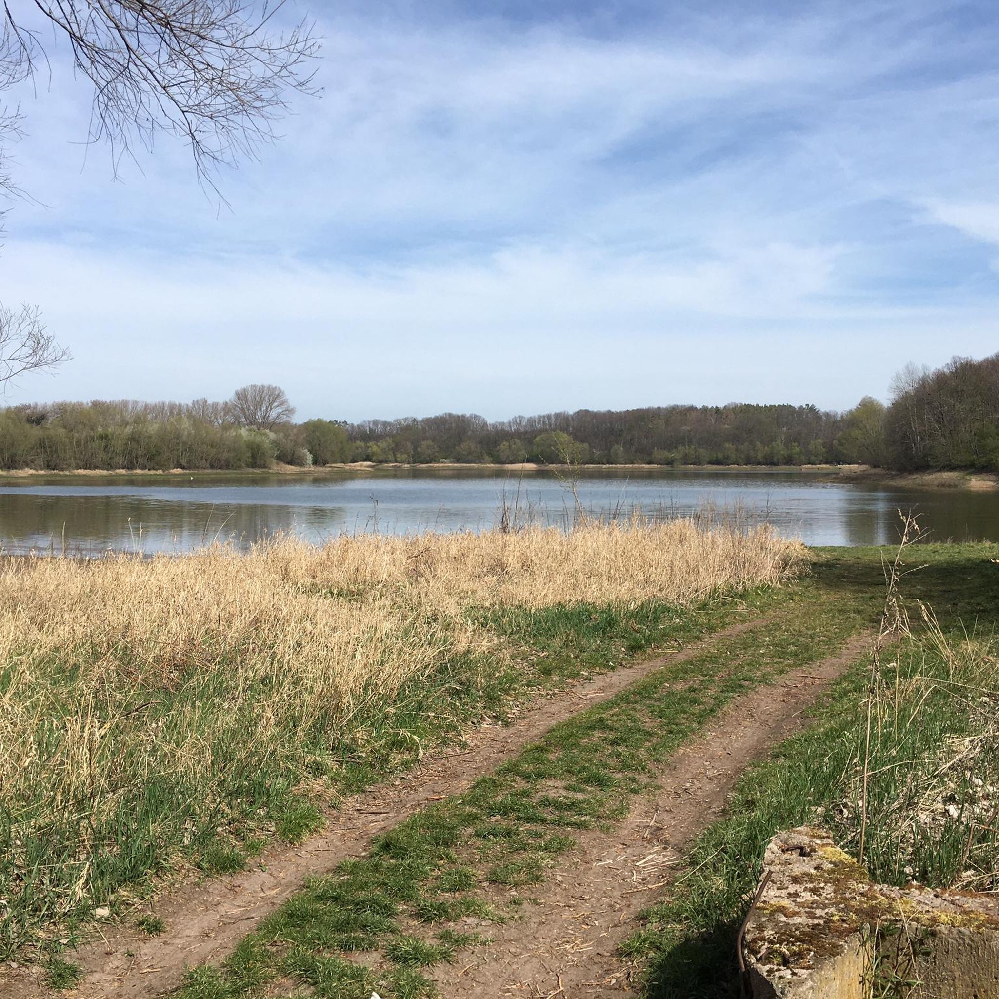
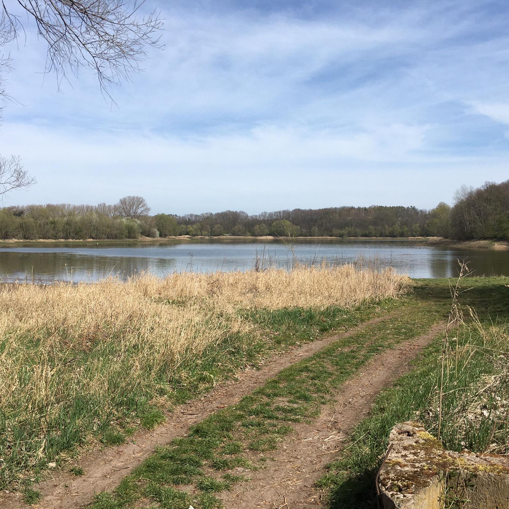
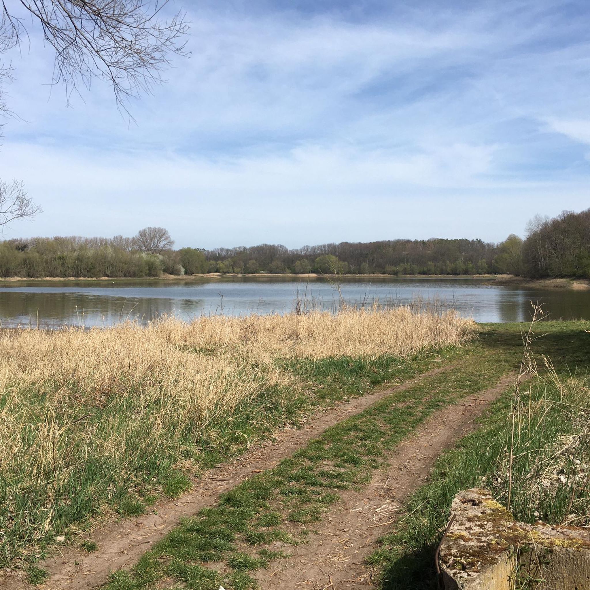
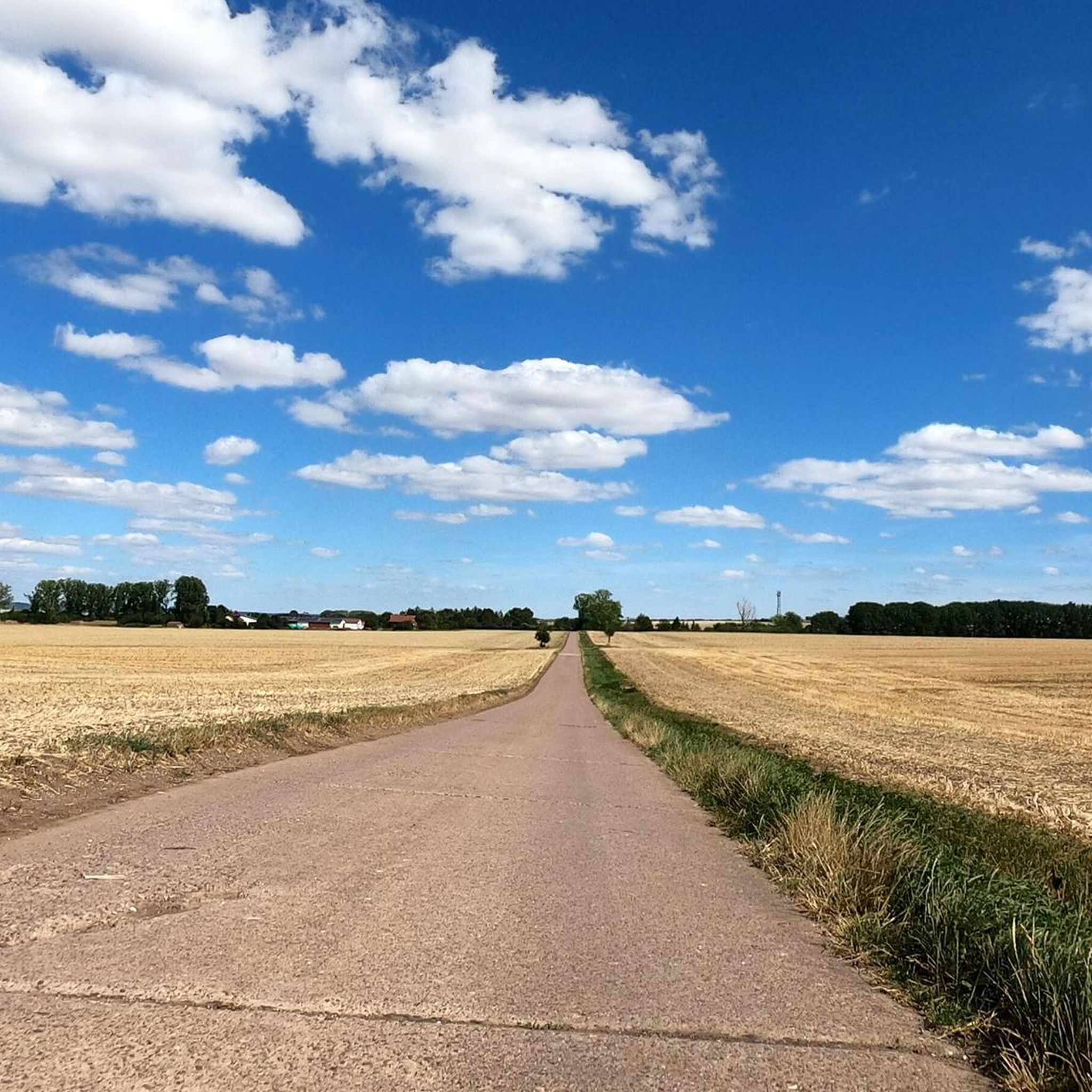
Tips from the Community


easy to drive and also a little sheltered from the wind by the vegetation on the side of the road
0
0

a very nice bike path from Schwerstedt to Buttelstedt which unfortunately needs a renovation over the years but has some cracks and bumps.
0
0

In the meantime very well developed cycle path
0
0
Frequently Asked Questions
How many running routes are available around Stausee Großbrembach?
There are over 30 dedicated running routes around Stausee Großbrembach, offering a variety of distances and terrains for different fitness levels. The komoot community has explored these trails extensively, with over 300 runners using them.
What kind of terrain can I expect on the jogging trails at Stausee Großbrembach?
The terrain around Stausee Großbrembach is generally accessible, characterized by rolling hills, lush greenery, open meadows, and dense forests. You'll find a mix of lakeside paths and trails winding through the scenic Scherkonde Valley, with some higher vantage points offering views over the Thuringian Basin.
Are there any easy running routes suitable for beginners or a relaxed jog?
While most routes are rated moderate, the area offers paths with relatively flat profiles. For example, the Running loop from Großbrembach is a moderate 9.4 km path that is ideal for a steady run with minimal elevation changes, making it suitable for those seeking a less strenuous experience.
What are some notable natural features or sights I might encounter while running?
As you run, you can enjoy the idyllic tranquility of the reservoir and the picturesque views of the Scherkonde Valley. The steep, sunny northern slopes of the valley are home to very rare steppe plants. You might also spot diverse flora and fauna, including deer and various bird species. A distinctive landmark is the ICE bridge, which runners on a full circuit around the lake would pass under twice.
Are there any family-friendly running options around Stausee Großbrembach?
Yes, the accessible lakeside paths and generally moderate terrain make many routes suitable for families. While specific 'family-friendly' routes aren't explicitly categorized, the tranquil setting and varied landscapes provide a pleasant environment for runs with children, especially on the flatter sections.
Can I bring my dog on the running trails?
Stausee Großbrembach is a natural area, and many trails are suitable for running with dogs. However, it's always recommended to keep your dog on a leash, especially in areas with wildlife or near other visitors, and to check local regulations for any specific restrictions around the reservoir.
Where can I park my car when visiting Stausee Großbrembach for a run?
While specific parking locations aren't detailed in the route data, the area around Stausee Großbrembach is generally accessible. Look for designated parking areas near popular access points to the reservoir or in nearby villages like Krautheim, Großbrembach, or Buttelstedt, which serve as starting points for many routes.
Is there public transport available to reach the running trails?
The region around Stausee Großbrembach is primarily accessed by car. While specific public transport connections directly to the trailheads are not highlighted, you may find bus services to nearby towns and villages. It's advisable to check local public transport schedules for connections to places like Großbrembach or Buttelstedt if you plan to use public transport.
What do other runners enjoy most about jogging in Stausee Großbrembach?
The running routes around Stausee Großbrembach are highly rated by the komoot community, with an average score of 4.6 stars from over 30 reviews. Runners often praise the tranquil setting, the scenic natural features like the Scherkonde Valley and views of the Thuringian Basin, and the well-maintained, accessible trails that cater to various abilities.
Are there any circular running routes around the reservoir?
Yes, the area is well-suited for circular routes. Many of the listed tours, such as the Lysimeter loop from Krautheim (12.3 km) or the Lysimeter loop from Buttelstedt (11.8 km), are designed as loops, allowing you to start and finish at the same point while exploring the diverse landscapes.
What is the longest running route available in the area?
Among the featured routes, the View of the Reservoir – View of the Windmill loop from Heichelheim is one of the longer options, covering approximately 12.4 km with moderate elevation changes, offering an extended running experience through varied scenery.
Are there opportunities for swimming or bathing near the running trails?
Yes, certain sections of the shore around Stausee Großbrembach offer refreshing spots for swimming during the warmer months. This can be a pleasant way to cool down after a run, combining your outdoor activities.
Most popular routes around Stausee Großbrembach

Get inspired with the komoot mobile app


Explore more
Browse the best Running Trails & Routes in other regions.
