The best road cycling routes around Dewey-Humboldt
3.0
(1)
2
riders
3
rides
Road cycling around Dewey-Humboldt Arizona features diverse landscapes, from high desert terrain to the transitional areas bordering the Prescott National Forest. The region is characterized by rolling hills, juniper-dotted landscapes, and expansive views across the Agua Fria River Valley. Cyclists can experience varied topography and elevations ranging from approximately 4,500 to 4,800 feet. This central Arizona location offers a mix of well-paved surfaces and routes with significant elevation gain.
Best road cycling routes around Dewey-Humboldt
- The most popular road cycling…
Last updated: July 26, 2026
3.0
(1)
2
riders
29.0km
01:18
190m
190m
Cycle the easy 18.0 miles (29.0 km) Prescott Valley Bicycle Route 1 Loop, gaining 639 feet (195 metres) with lake views and local landmarks.
77.6km
04:47
1,810m
1,810m
This difficult 48.2-mile road cycling route from Prescott Valley to Jerome offers challenging climbs and stunning views through Prescott Nat

Sign up for free
53.3km
02:28
450m
450m
Moderate road ride. Good fitness required. Some segments of this route may be unpaved and difficult to ride.
Our route recommendations are based on thousands of hikes, rides, and runs completed by other people on komoot.
Start today with a free account
Your next adventure awaits.
Login or Signup
Tips from the Community

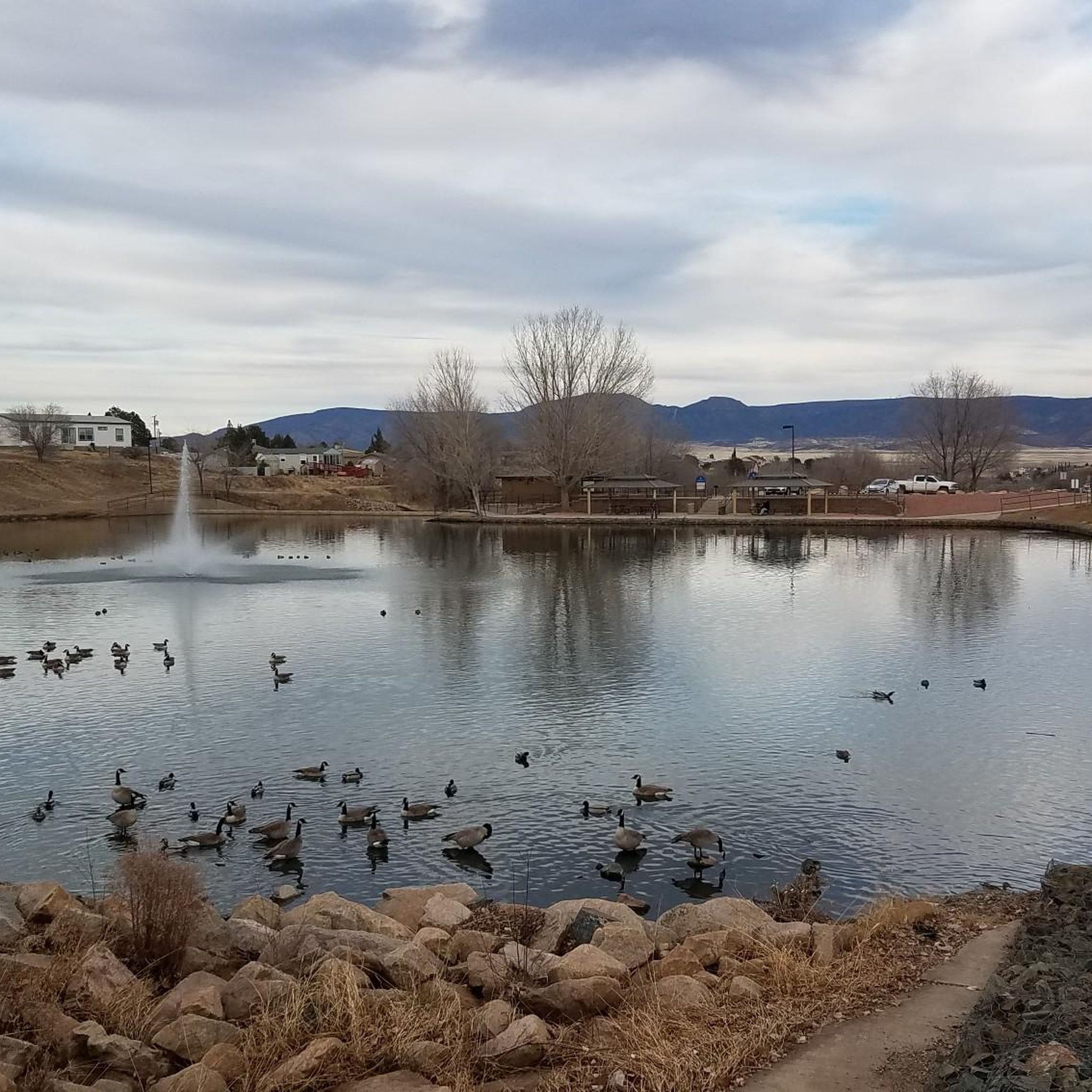
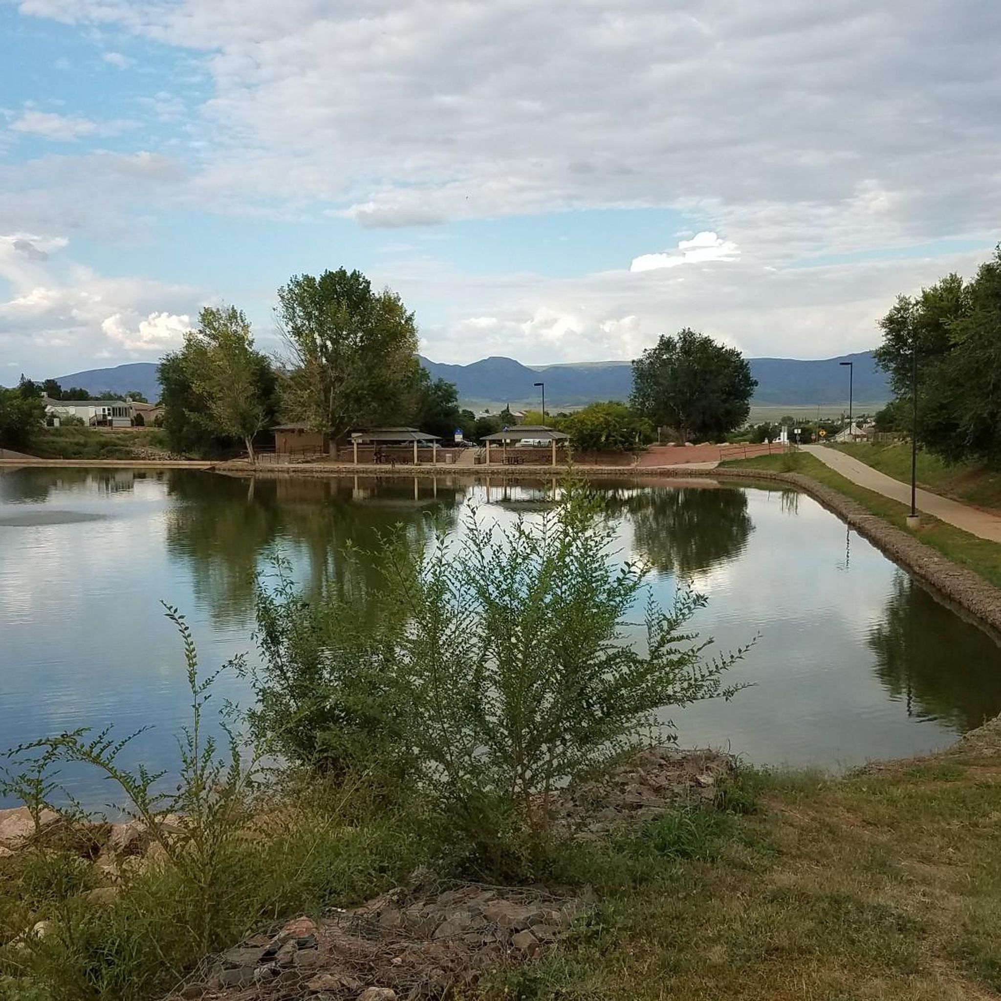
Yavapai Lake is a small lake in Mountainview Park and is surrounded by desert landscapes. It's a popular spot for fishing, birdwatching, and relaxing by the water.
1
0
The Gabriel Grande Memorial is a memorial for a 15-year-old boy who was struck and killed by a car while out riding his bike. There has been a push to create a cycle lane in his memory and to give people a safer space to ride their bikes.
0
0
This is one of the trailheads for the Peavine Trail. The trail is hardpacked double track, so if you have wider tires on your road bike, the trail is doable.
0
0

AI search gave the following insight on the tragic death of the 14 year old Gabriel Grande November 2024 in Prescott Valley, Arizona: "In November 2024, a 14-year-old named Gabriel Grande was fatally struck by a pickup truck while riding his bicycle on Viewpoint Drive in Prescott Valley, Arizona. The driver, Daniel Lee Jones, was arrested and faces charges including manslaughter and driving under the influence of drugs. The accident sparked calls for improved safety measures, including the addition of a multi-use pathway along Viewpoint Drive. [1, 2, 3, 4, 5] Details of the Accident: • Date: November 14, 2024. • Location: Viewpoint Drive in Prescott Valley, Arizona. • Victim: Gabriel Grande, a 14-year-old. • Driver: Daniel Lee Jones. • Charges: Manslaughter and driving under the influence of drugs. • Outcome: Gabriel Grande died from his injuries. • Trial: The trial for Daniel Lee Jones has been scheduled for January 2026. [1, 2, 4] Consequences and Reactions: • The accident led to increased calls for safer pathways for pedestrians and bicyclists in the area. • The Town of Prescott Valley is considering a multi-use pathway along Viewpoint Drive. • A roadside memorial has been set up to honor Gabriel Grande's life. • His parents are working to establish a scholarship program for other young cyclists in the community. [1, 5] AI responses may include mistakes. [1] https://www.12news.com/article/news/local/arizona/town-of-prescott-valley-to-explore-adding-multi-use-pathway-along-road-where-teen-hit-bicycle-ride/75-30a0de04-a8f7-4748-9f12-0e51e498e485[2] https://www.dcourier.com/news/trial-date-set-for-driver-in-crash-that-killed-prescott-valley-teen/article_94f03eb0-1093-4909-abbb-5a429a70a5af.html[3] https://www.sacbee.com/news/nation-world/national/article298668713.html[4] https://m.facebook.com/ThePrescottTimes/photos/breaking-news-prescott-valley-police-make-arrest-in-fatal-bicycle-accident-invol/1152694703529805/[5] https://www.12news.com/article/news/local/arizona/prescott-valley-man-accused-hitting-and-killing-bike-riding-teen-now-back-jail-drug-charges/75-ccb9ed46-55a9-460e-a7b1-394b048c498a "
2
0
Because in the desert bodirs of water are a delight to visit.
1
0

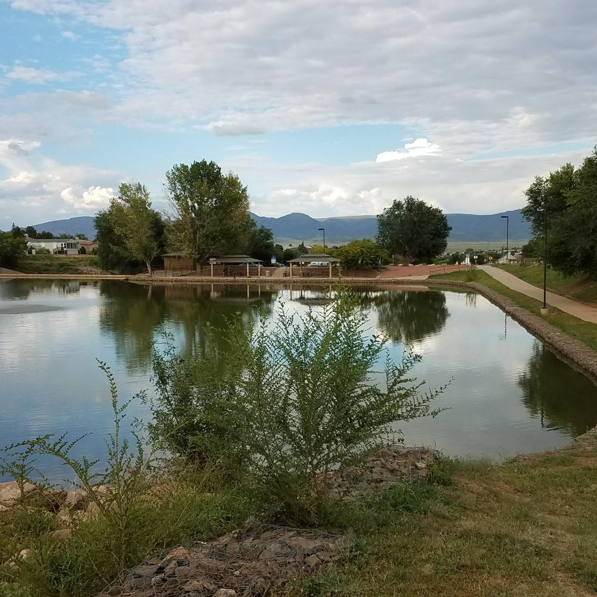
Mountainview Park has some nice paved paths that circle two man-made lakes. This is a great place to stop/regroup on a ride as you can use the restroom and refill bottles. This 63 acre park is also home to a plethora of family friendly activities including swimming, baseball, soccer, and playgrounds.
0
0
Jerome is a cute little town built in the hills. Located just west of Cottonwood, this is a great and much needed place to refill bottles if you are coming from the Prescott side. Some backstory, Jerome was built in 1916 by a mining company, and today you can still visit the original 1918 mine and see tons of remnants.
0
0
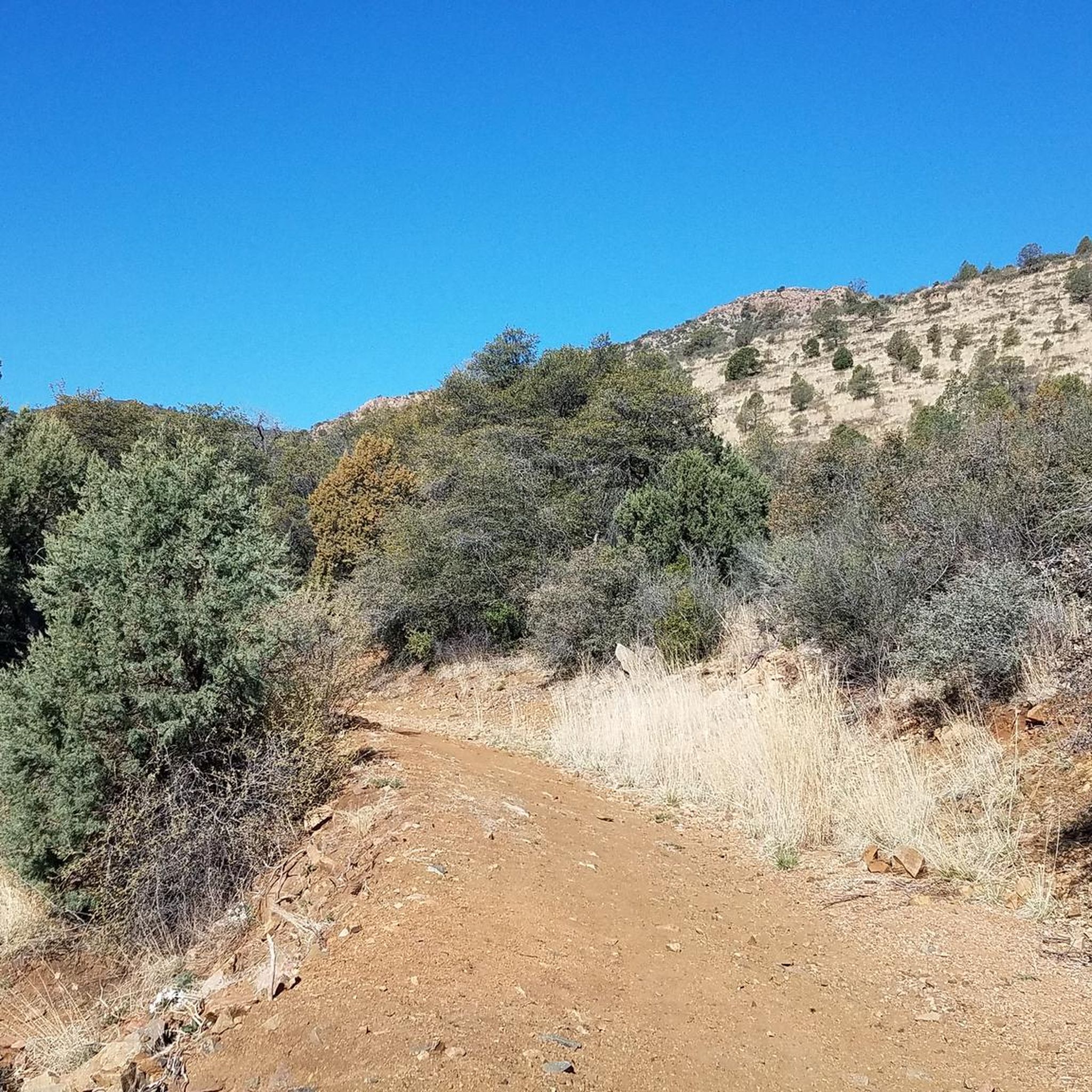
Mingus Mountain is a popular destination for hiking, road cycling, mountain biking, and hang gliding! The Mingus Mountain Summit Picnic area is located here, where you can take a break and use the restrooms before hitting the descent. Depending on your bike and comfort level, many people often continue up Forest Service Road 104 where the views get even better and there is a lake.
0
0
Frequently Asked Questions
What kind of terrain can I expect when road cycling around Dewey-Humboldt?
Road cycling in Dewey-Humboldt offers a diverse landscape, transitioning from high desert terrain to the pine forests of the Bradshaw Mountains. You'll encounter rolling hills, juniper-dotted landscapes, and expansive views across the Agua Fria River Valley. The elevation ranges from approximately 4,500 to 4,800 feet, providing varied topography.
Are there road cycling routes for different skill levels in Dewey-Humboldt?
Yes, Dewey-Humboldt offers routes for various abilities. For an easy ride with high desert views, consider the East Florentine Road to Prescott Valley Pipeline Trail loop. If you're looking for a more challenging experience with significant elevation gain, the difficult Prescott Valley to Jerome route transitions from high desert to pine forests.
What is the best time of year for road cycling in Dewey-Humboldt?
Dewey-Humboldt experiences a mild four-season climate with sunny skies and cool breezes, making it comfortable for outdoor activities throughout much of the year. Spring and fall are generally ideal, offering pleasant temperatures for cycling. Summers can be warm, so early morning rides are recommended, while winters are mild but can have cooler days.
Are there any scenic loop routes for road cyclists in the area?
Yes, the Prescott Lakes Parkway – View of Willow Lake loop from Lynx Creek Ruin Trailhead is a popular option. This route covers 33.0 miles (53.1 km) and leads through varied terrain, offering beautiful views of Willow Lake.
What natural features or landmarks can I see along road cycling routes near Dewey-Humboldt?
The region is rich in natural beauty and historical sites. Cyclists can enjoy views of the expansive high desert, the Agua Fria River Valley, and the distinctive Iron King Mountain. Nearby attractions include the Glassford Hill Summit, offering panoramic views, and the Iron King Trail. You might also encounter historical sites like Petroglyphs and the Lynx Creek Pueblo Ruins.
Are there any family-friendly road cycling options in Dewey-Humboldt?
While many routes offer varied terrain, the East Florentine Road to Prescott Valley Pipeline Trail loop is categorized as easy and is a good option for families looking for a less strenuous ride with scenic high desert views. Always assess the route's specific conditions and traffic for suitability with children.
Where can I find parking for road cycling trails in Dewey-Humboldt?
Many routes in the area, such as the Prescott Lakes Parkway – View of Willow Lake loop, often have designated trailheads or nearby parking areas. It's advisable to check the specific route details on komoot for parking information related to your chosen starting point.
What do other road cyclists enjoy most about cycling in Dewey-Humboldt?
The area is highly rated by the komoot community, with an average score of 3.0 stars. Reviewers often praise the diverse landscapes, from high desert vistas to transitional forests, and the variety of routes available for different fitness levels. The scenic views and the opportunity to explore the region's natural beauty are frequently highlighted.
Are there any cafes or places to stop for refreshments along the cycling routes?
While specific cafes directly on the routes are not always abundant, Dewey-Humboldt and nearby Prescott Valley offer various establishments. You can find local favorites like Mortimer Farms, which has a country store with fresh produce, or explore options in the town centers for refreshments before or after your ride.
Are there any long-distance road cycling routes available?
Yes, for those seeking a longer challenge, the Prescott Valley to Jerome route is a difficult 48.2 miles (77.6 km) path. This route features substantial elevation gain as it takes you from the high desert into the pine forests, offering a rewarding long-distance experience.
Is public transport available to access cycling routes in Dewey-Humboldt?
Public transport options directly serving specific cycling trailheads in Dewey-Humboldt are limited. Most cyclists typically drive to their starting points. For more detailed information on local transport, you may need to consult the official Dewey-Humboldt town website at dhaz.gov.
Are there any specific permits required for road cycling in the Dewey-Humboldt area?
Generally, no specific permits are required for road cycling on public roads in the Dewey-Humboldt area. However, if your route takes you into specific parks or private lands, it's always best to check local regulations. For most road cycling, you can enjoy the routes freely.
Most popular routes around Dewey-Humboldt
Most popular attractions around Dewey-Humboldt

Get inspired with the komoot mobile app


Explore more
Browse the best Road cycling routes in other regions.
