The best running trails around Woltersteich
4.4
(476)
9,787
runners
216
runs
Jogging routes around Woltersteich offer a variety of paths, primarily featuring routes around local lakes. The terrain is generally flat to gently rolling, with minimal elevation changes, making it suitable for various fitness levels. These running routes provide opportunities to explore the natural surroundings, often alongside water bodies. The area provides a network of trails for both casual jogs and more focused running sessions.
Best jogging routes around Woltersteich
- The most popular jogging route is Great Pönitzer Lake – View…
Last updated: September 29, 2026
54
runners
18.7km
01:57
100m
100m
Hard run. Very good fitness required. Mostly paved surfaces. Suitable for all skill levels.
5.0
(1)
21
runners
5.73km
00:38
20m
20m
Moderate run. Good fitness required. Mostly paved surfaces. Suitable for all skill levels.

5.0
(1)
17
runners
6.35km
00:40
40m
40m
Moderate run. Good fitness required. Mostly paved surfaces. Suitable for all skill levels.
3.8
(5)
16
runners
7.88km
00:50
40m
40m
Moderate run. Good fitness required. Mostly paved surfaces. Suitable for all skill levels.
5.0
(8)
13
runners
6.38km
00:40
30m
30m
Moderate run. Good fitness required. Mostly paved surfaces. Suitable for all skill levels.
Get access to more routes and recommendations from other explorers.
Already have an account?
Our route recommendations are based on thousands of hikes, rides, and runs completed by other people on komoot.
Start today with a free account
Your next adventure awaits.
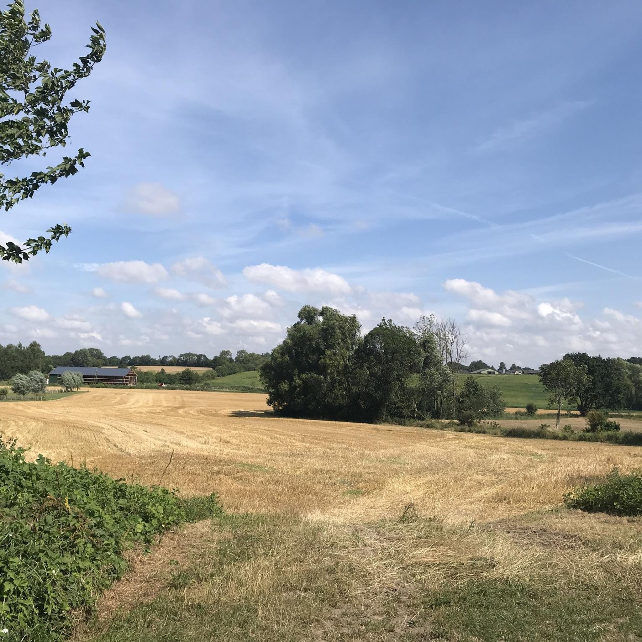
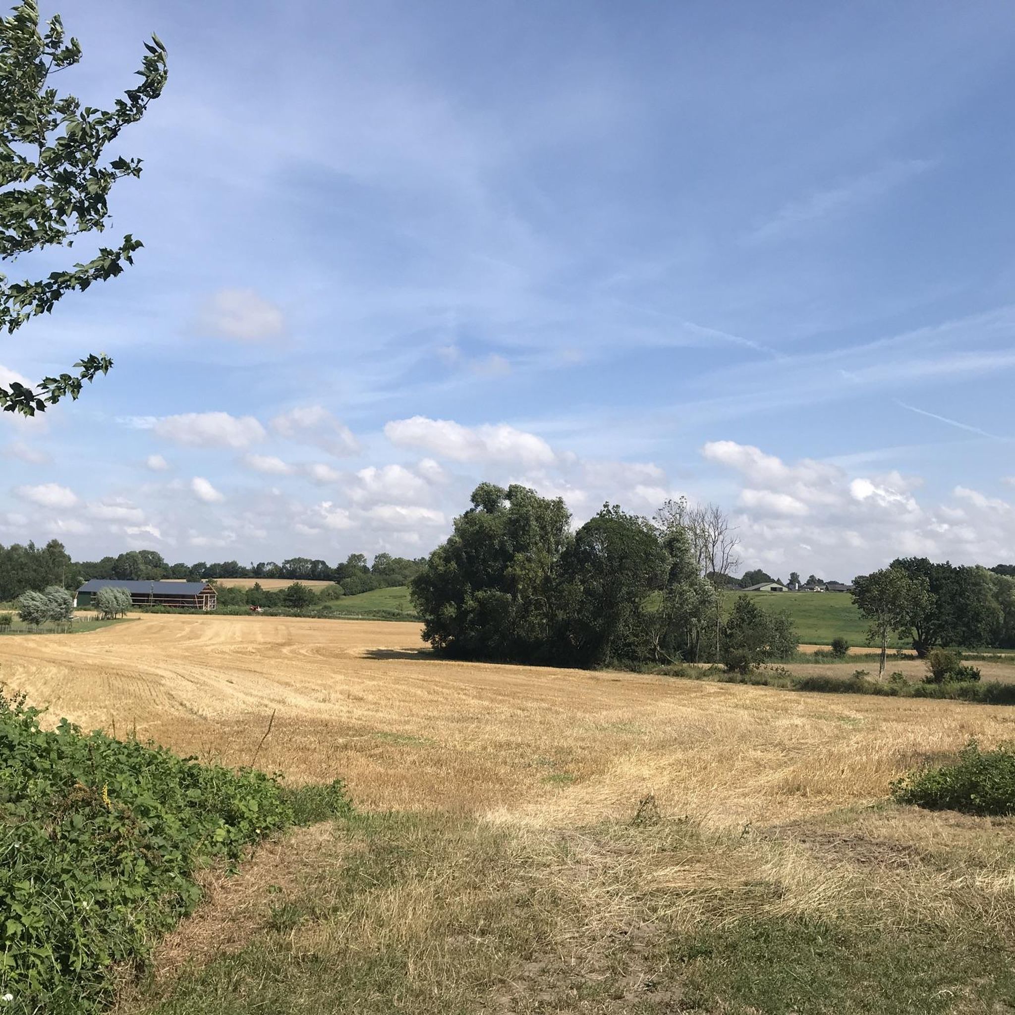
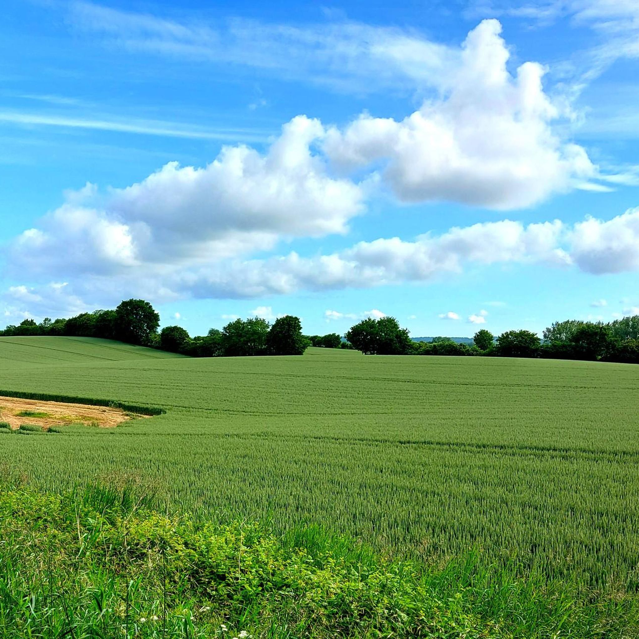
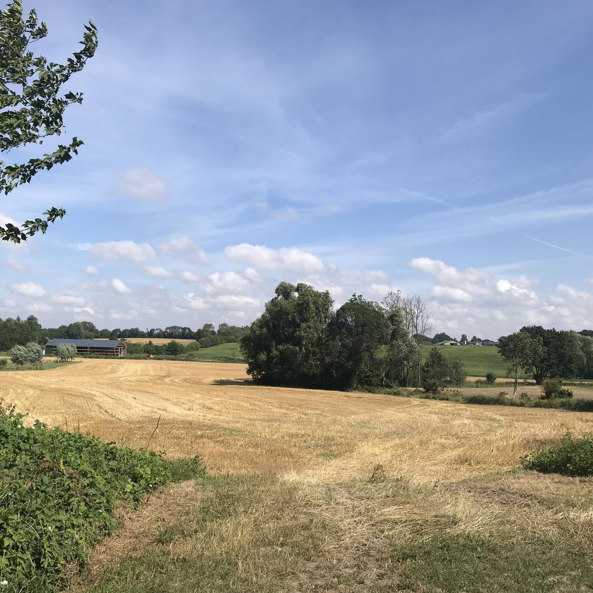

Tips from the Community

A narrow path through tall vegetation... it feels like being in a tunnel.
2
0
A bus stop-like shelter with a bench next to it... from up here you can see a small part of the Taschensee lake.
1
0
Little brother of the Großer Pönitzer See... From the path there are lovely views of the lake.
1
0

The Kleiner Pönitzer See always keeps a slight distance from the roads and paths, but at this point the shore can be reached directly. The narrow isthmus that stretches on the other side is remarkable. Behind it follows the Großer Pönitzer See.
2
0

One station is the "I". Then there is a mirror. :)
2
0

The "Süsel Way of Life," a small pilgrimage route with ten stations, begins at St. Laurencius Church in Süsel. The meditative circular route is approximately 4 km long. It took me about 2 hours. Of course, the actual walking time is shorter, but this path is meant to be walked at a leisurely pace. A booklet is available in the church, guiding you from station to station. I think it's a good idea to have it with you. For those who would like to find out more online: https://lebensweg-suesel.de/
2
1

That must have been the way to a posh home once.
2
1

Refuge & rest area directly at the Steinredder. From the other side of the street you have a great view over the Taschensee. But do not worry, you do not have to drive over the street, from / to the Neukoppel a short, narrow, species-appropriate path leads south of a burial mound in an east-west direction directly to / from the rest area (not on the map).
2
0
Frequently Asked Questions
How many running routes are available around Woltersteich?
There are over 230 running routes available in the Woltersteich area, offering a wide range of options for different fitness levels and preferences.
Are there easy jogging paths suitable for beginners or casual runners?
Yes, Woltersteich offers many easy jogging paths. Approximately 44 routes are classified as easy, featuring generally flat or gently rolling terrain, perfect for a relaxed run. Many of these are lake loops.
What kind of terrain can I expect on the running trails in Woltersteich?
The running trails around Woltersteich are generally characterized by low elevation gain and varied landscapes, often circling local lakes. You'll find paths that are mostly flat to gently undulating, making them accessible for many runners.
Are there any circular running routes in the Woltersteich region?
Yes, many of the running routes in Woltersteich are circular, offering convenient loops around the area's lakes. For example, the Great Pönitzer Lake – View of the Großer Pönitzer See loop from Pönitz is a popular circular option.
What do other runners think about the trails in Woltersteich?
The running routes in Woltersteich are highly rated by the komoot community, with an average score of 4.4 stars from over 400 reviews. Runners often praise the scenic lake views and the generally accessible terrain.
Can I find routes that are suitable for families with children?
While specific 'family-friendly' designations aren't always explicit, the many easy and moderate routes with low elevation gain, especially those around lakes, are often well-suited for families. The Middelburger See loop from Süsel is a moderate 3.6-mile path that offers a pleasant lakeside experience.
Are dogs allowed on the jogging trails around Woltersteich?
Generally, dogs are welcome on many outdoor trails in the region, but it's always best to keep them on a leash, especially around populated areas or nature reserves. Always check local signage for specific regulations on individual paths.
Are there any challenging running routes for experienced runners?
While the area is known for its generally accessible terrain, there are 21 routes classified as difficult for those seeking more of a challenge. These routes might feature longer distances or slightly more varied elevation, though significant climbs are rare.
Is there parking available near the running routes?
Given the popularity of the lake loops, you can typically find parking facilities near the starting points of many routes, especially in towns like Pönitz or Süsel. Specific parking details are often available on individual route pages on komoot.
How long do the running routes typically take to complete?
The duration varies greatly depending on the route's length and your pace. For example, the Great Pönitzer Lake loop is about 8.5 miles and takes approximately 1 hour 25 minutes, while the Achternsee loop from Süsel is 4 miles and can be completed in about 40 minutes.
Can I access the running routes using public transport?
Access to running routes via public transport depends on the specific starting point. Many routes begin near towns or villages that may have bus or train connections. It's advisable to check local public transport schedules for the specific area you plan to run in.
Are there any scenic viewpoints along the jogging trails?
Many routes offer scenic views, particularly those that loop around the local lakes. The Great Pönitzer Lake loop, for instance, is specifically highlighted for its views of the Großer Pönitzer See.
Most popular routes around Woltersteich

Get inspired with the komoot mobile app


Explore more
Browse the best Running Trails & Routes in other regions.
