The best cycling routes around Bottschlotter Lake
4.6
(1285)
5,803
riders
327
rides
Touring cycling routes around Bottschlotter Lake are characterized by flat terrain and a network of canals. The region features open landscapes, often with views of the lake and surrounding nature reserves. Elevations are minimal, making for generally easy cycling conditions.
Best touring cycling routes around Bottschlotter Lake
- The most popular touring cycling route is Bongsieler Canal near Waygaard – View of Botechloter See loop from Fahretoft, a 15.8 miles (25.4 km) trail that takes 1 hour 28 minutes to…
Last updated: July 10, 2026
3.0
(1)
3
riders
Easy bike ride. Great for any fitness level. Mostly paved surfaces. Suitable for all skill levels.
2
riders
Easy bike ride. Great for any fitness level. Mostly paved surfaces. Suitable for all skill levels.

Sign up for free
4.9
(19)
50
riders
22.5km
01:20
20m
20m
Easy bike ride. Great for any fitness level. Mostly paved surfaces. Suitable for all skill levels.
4.7
(6)
40
riders
Moderate bike ride. Good fitness required. Mostly paved surfaces. Suitable for all skill levels.
4.8
(11)
32
riders
Moderate bike ride. Good fitness required. Mostly paved surfaces. Suitable for all skill levels.
Get access to more routes and recommendations from other explorers.
Sign up for free
Already have an account?
Our route recommendations are based on thousands of hikes, rides, and runs completed by other people on komoot.
Start today with a free account
Your next adventure awaits.
Login or Signup
Tips from the Community

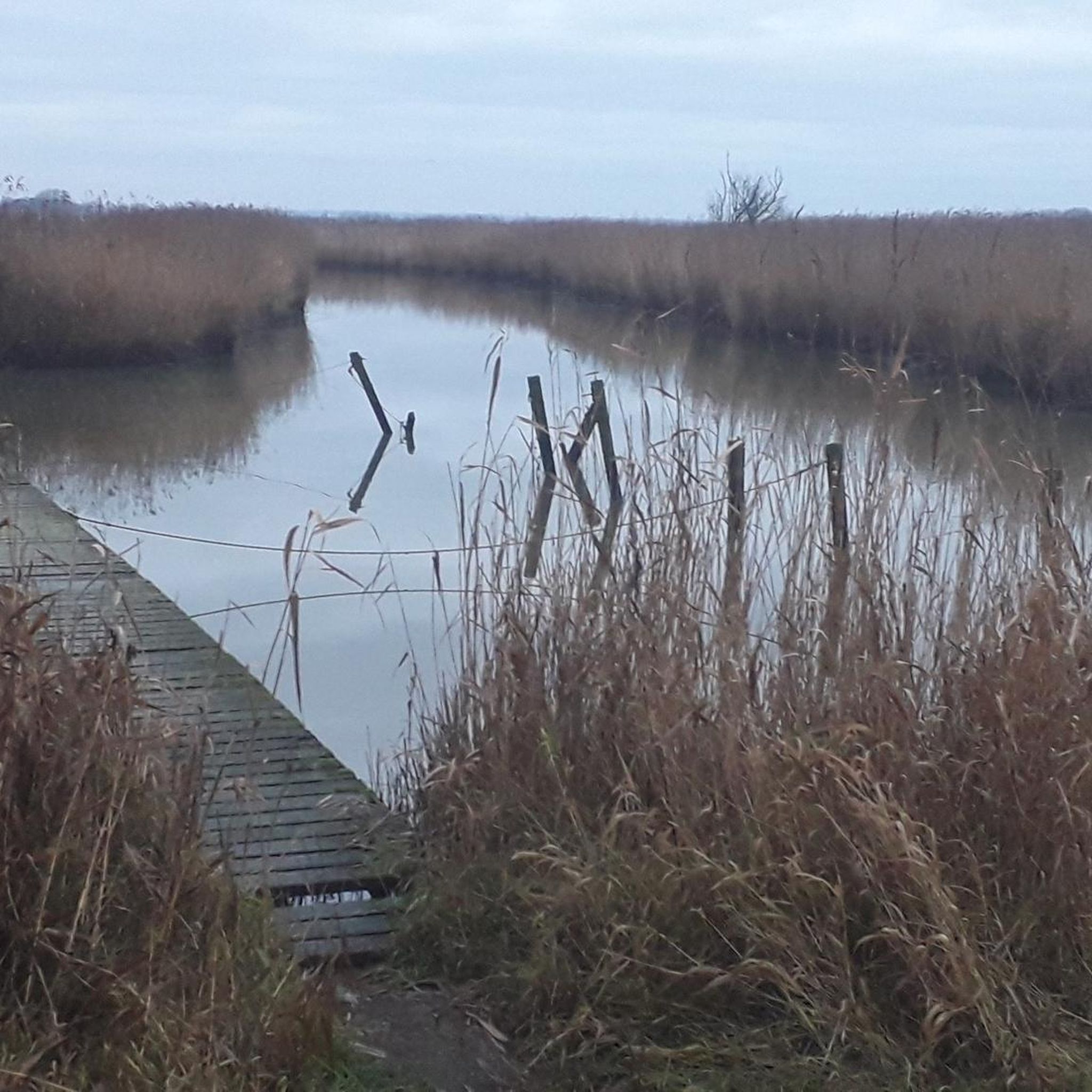
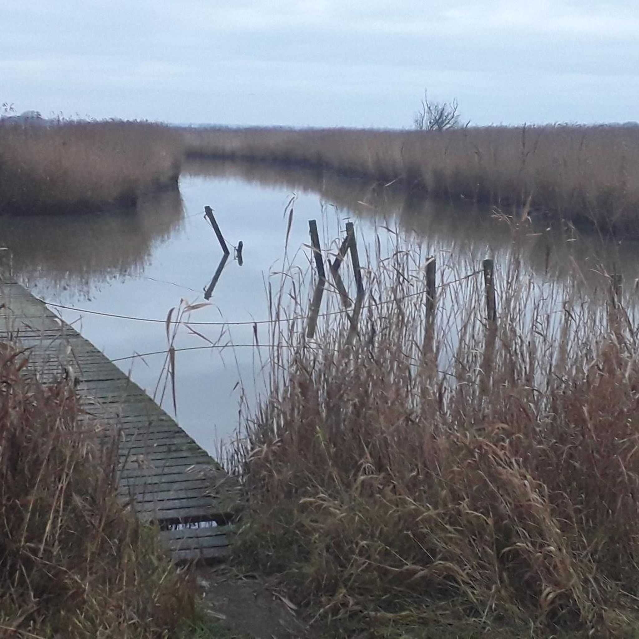
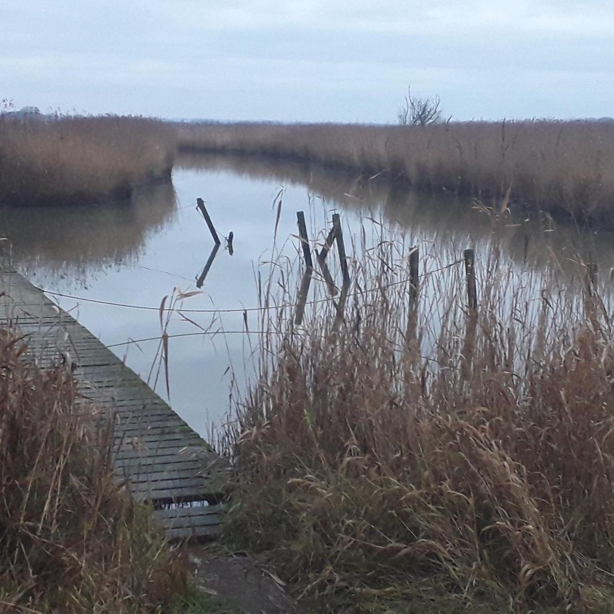
Sorry, but the lake is called: Botschlotter See Beautiful spot near Waygaard/Fahretoft
0
0

Don't forget your binoculars for bird watching
0
0

The beautiful 17th-century church was built on a mound after the great flood of 1634. Two previous buildings, whose locations are no longer known, had fallen victim to the storm surges of 1362 and 1634 and were swept away. During the second great flood, the entire pastor's family, along with 300-400 other Ockholm residents, drowned; only the eldest son, who was already a student and had left home, survived. Between 1639 and 1641, Ockholm was re-dyked with the active support of the Danish King Christian IV. A new church was built. The king provided the building materials: he donated the stones from the Bordelum "castle," the manor "Fruu Mettenhof" of Meta von Ahlefeld in Bordelum-Uphusum, which had been destroyed in the Thirty Years' War. SOURCE: https://kirche-bordelum.de/portfolio/kirche-ockholm/
0
0

This peace here... simply wonderful... priceless for a city dweller...
1
0

Birds and sheep. Flora and fauna. A wonderful view that you can experience there
1
0
Great salty taste, you should try it
0
0

The loop around the Beltringharder Koog and over Nordstrand is also beautiful. Then perhaps over the car dam to Schobüll. Schobüll and Halebüll are located on a tongue of the Geest and therefore have no dyke. To the northwest of Schobüll there is a reed biotope, which is particularly scenic due to the fresh water that flows out. The old dyke of the Hattstedtermarsch from Lüttmoorsiel via Arlauschleuse and to Wobbenbüll has been patched up frequently due to many breaks. This makes it very winding, and inland there are often dikes, bodies of water that were created by the excavation for the repairs. The Arlau, which drains the area as far as the Geest, is also very impressive. The water can only flow to the side because of the clay bed below the ground, which makes the sea level important, and must not be allowed to rise too high.
1
0

The Hamburger Hallig is a fascinating peninsula in the Wadden Sea of Schleswig-Holstein, which is connected to the mainland by a dam. It is located in the district of North Friesland and belongs to the municipality of Reußenköge. The Hallig extends over about 1,000 hectares and is an important nature reserve managed by the German Nature and Biodiversity Conservation Union (NABU). Historically, the Hamburger Hallig was dammed in the 17th century by the Hamburg merchants Rudolf and Arnold Amsinck. However, the original dyke structure was destroyed by several storm surges and the Hallig remained unprotected for a long time. It was not until the 19th century that the current dam was built, which connects the Hallig to the mainland and promotes sedimentation, which led to the formation of today's landscape. The Hamburger Hallig offers a variety of nature experiences. The salt marshes in particular are a highlight and provide habitat for numerous bird species. Visitors can explore the Hallig on well-developed paths and observe rare bird species such as the oystercatcher, the shoveler and the redshank. Bird watching is an experience, especially during the migration periods in spring and autumn. A central point of the Hamburger Hallig is the Hallig-Krog, an inn that is open from Easter to the end of October. Here visitors can take a break and enjoy the local cuisine. In addition to the Hallig-Krog, there is also the Amsinck-Haus, an information point that provides information about the flora and fauna of the Hallig and offers various educational programs.
1
0
Frequently Asked Questions
What is the general terrain like for touring cycling around Bottschlotter Lake?
The touring cycling routes around Bottschlotter Lake are characterized by predominantly flat terrain and a network of canals. You'll find open landscapes, often with expansive views of the lake and surrounding nature reserves. Elevations are minimal, making for generally easy cycling conditions.
How many touring cycling routes are available around Bottschlotter Lake?
There are over 330 touring cycling routes available around Bottschlotter Lake, catering to various preferences and skill levels.
What are the difficulty levels of touring cycling routes in this area?
The majority of routes around Bottschlotter Lake are classified as easy, with 242 easy routes. There are also 77 moderate routes and 18 more difficult options for those seeking a greater challenge.
Are there any circular touring cycling routes around Bottschlotter Lake?
Yes, many of the touring cycling routes in the area are loops. For example, you can try the Bongsieler Canal near Waygaard – View of Botechloter See loop from Fahretoft, which is 15.8 miles (25.4 km) long, or the shorter Old Harbor Ockholm – Bongsieler Canal near Waygaard loop from Fahretoft at 6.1 miles (9.8 km).
What kind of landmarks or natural features can I expect to see along the routes?
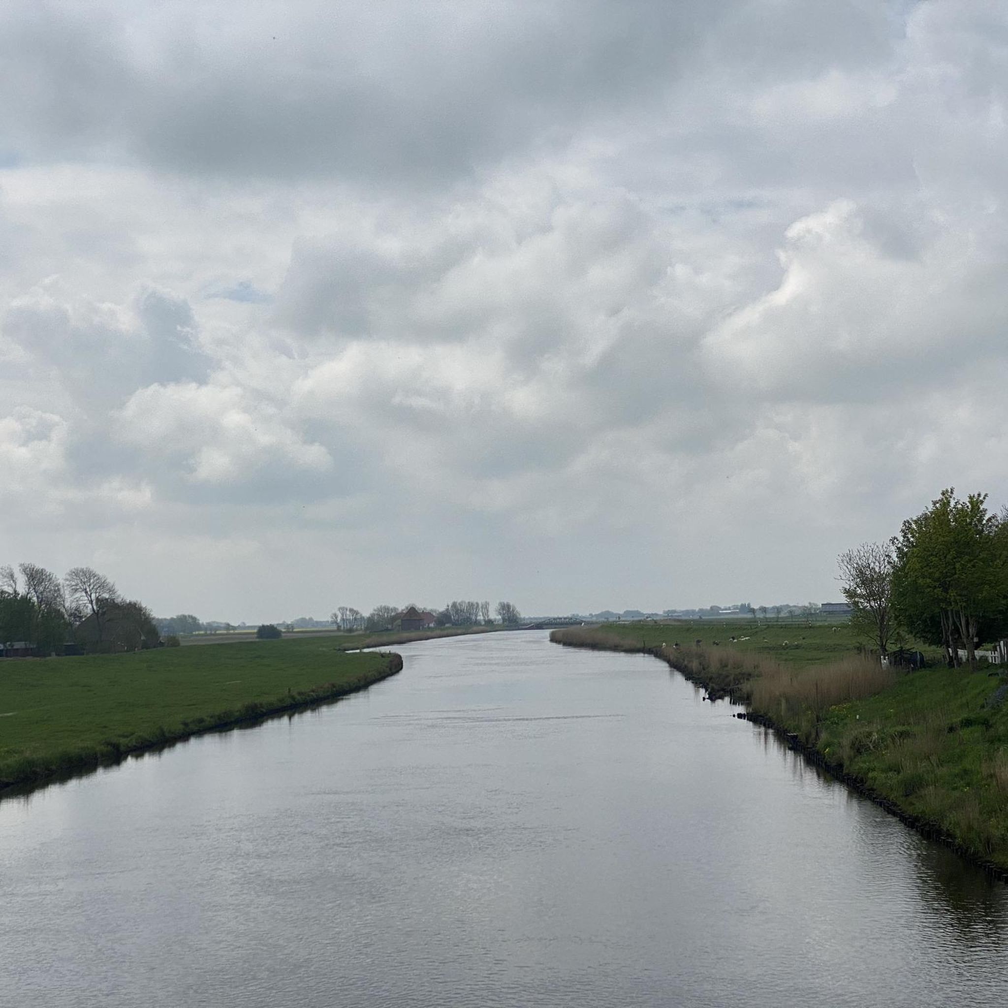
The routes often feature views of the Bottschlotter Lake itself, as well as the Bongsieler Canal and other canal-side landscapes. You might also pass by points of interest such as the Old Harbor Ockholm or Schlüttsiel Harbor, and experience the open moorlands and nature reserves characteristic of the region.
Are there family-friendly cycling options near Bottschlotter Lake?
Given the predominantly flat terrain and numerous easy routes, Bottschlotter Lake is well-suited for family cycling. The minimal elevation changes make it accessible for cyclists of all ages and abilities. The Old Harbor Ockholm – Bongsieler Canal near Waygaard loop from Fahretoft is a good easy option.
What do other cyclists say about the routes around Bottschlotter Lake?
The touring cycling routes around Bottschlotter Lake are highly rated by the komoot community, with an average score of 4.6 stars from over 1,300 reviews. Cyclists often praise the flat, scenic paths and the tranquil atmosphere of the canal-side landscapes.
Is parking available for cyclists near Bottschlotter Lake?
While specific parking locations are not detailed for every route, areas like Fahretoft, which serve as starting points for many tours, typically offer parking facilities. It's advisable to check local signage upon arrival.
Can I reach Bottschlotter Lake by public transport with my bike?
Public transport options to Bottschlotter Lake and surrounding villages like Fahretoft may be limited, especially for carrying bikes. It's recommended to research local bus or train services in advance and confirm their bike transport policies.
What is the best season for cycling around Bottschlotter Lake?
The spring, summer, and early autumn months generally offer the most pleasant conditions for cycling around Bottschlotter Lake, with milder temperatures and less chance of adverse weather. The open landscape means you should be prepared for wind, regardless of the season.
Are there any longer touring cycling routes for experienced riders?
Yes, for more experienced riders looking for longer distances, routes like the Beltringharder Polder – Engel Mill (Süderhafen) loop from Munksbrück offer a moderate challenge, covering over 39 miles (63 km) through varied landscapes.
Are there places to eat or stay near the cycling routes?
While specific establishments are not listed, the villages surrounding Bottschlotter Lake, such as Fahretoft and Dagebüll, are likely to offer local cafes, restaurants, and accommodation options. These can be good starting or ending points for your tours.
Most popular routes around Bottschlotter Lake

Get inspired with the komoot mobile app


Explore more
Browse the best Cycling routes in other regions.
