The best road cycling routes around Oak Creek Canyon
5.0
(1)
95
riders
7
rides
If you've ever tried planning road cycling around Oak Creek Canyon, you know how quickly the options can become overwhelming. With so many scenic roads, it's tough to tell which routes are genuinely worth your time and effort, and which are just filler. That's where we come in: our komoot community has mapped, ridden, and reviewed countless routes here, giving you a curated shortlist of the very best. We're here to save you the guesswork and point you straight to the rides that truly deliver.
Road cycling in Oak Creek Canyon is an experience unlike any other, defined by dramatic red rock formations and towering canyon walls that contrast beautifully with the lush, creek-side riparian zones. You'll find everything from exhilarating descents to challenging climbs, especially along Highway 89A as it winds its way between Flagstaff and Sedona. Expect significant elevation changes and a dynamic landscape that shifts from pine forests at higher elevations to verdant canopies along the canyon floor.
If you only have time for one ride, we'd start with the moderate Dry Creek Road to Long Canyon Road & Aerie Road, a 17.7-mile (28.5 km) route that offers fantastic views and a rewarding challenge. For something a bit easier, the Thunder Mountain Road Bike Route is an accessible 10.8-mile (17.4 km) path with notable vistas, perfect for a more relaxed spin. With over 95 visitors already exploring these routes with komoot, you're in good company.
Last updated: June 2, 2026
24
riders
28.5km
01:28
420m
420m
Embark on a dynamic road cycling adventure through West Sedona's stunning red rock country with the Dry Creek Road to Long Canyon Road & Aerie Road route. This moderate 17.7-mile (28.5 km) ride features 1384 feet (422 metres) of elevation gain, offering a consistent workout amidst breathtaking geological formations. You'll navigate varied terrain, including significant climbs and descents, providing a truly engaging experience for about 1 hour and 27 minutes.
To make the most of this ride, plan for an early start, especially during warmer seasons, to enjoy cooler temperatures and potentially less traffic. While specific trailhead parking isn't detailed, access points are available throughout West Sedona. Always ensure you carry ample water and any necessary supplies, as amenities might be sparse along the route.
This route stands out for its location within the famously scenic West Sedona area, combining a challenging ride with dramatic natural beauty. Unlike other roads sharing similar names, this specific combination is tailored for road cycling, offering a unique perspective of the region's iconic red rock landscapes and providing a rewarding experience for those seeking a moderately challenging ride.
17.4km
00:58
260m
260m
The Thunder Mountain Road Bike Route is an easy 10.8-mile (17.4 km) road cycling experience, offering a quick and enjoyable spin through the Sedona landscape. With 849 feet (259 metres) of elevation gain, you can expect a gentle workout that takes about 57 minutes to complete. It's a perfect choice for a relaxed ride, allowing you to soak in the desert views without the challenge of technical terrain.
Planning your visit to this road cycling route is straightforward. As with many popular areas, consider starting your ride earlier in the morning to avoid potential traffic and enjoy cooler temperatures, especially in warmer seasons. While specific parking details aren't provided, general parking in Sedona can be busy, so an early start is often beneficial.
This route stands out as a great option for those seeking a less strenuous cycling adventure in Sedona. The highlight of the journey is the View of Sedona Red Rocks from Airport Overlook, providing a memorable vantage point over the region's famous red rock formations. It's an ideal way to experience the unique visual appeal of Sedona on two wheels.

Sign up for free
5.0
(1)
21
riders
39.3km
01:54
530m
530m
Moderate road ride. Good fitness required. Mostly well-paved surfaces and easy to ride.
12
riders
44.1km
02:06
580m
580m
Moderate road ride. Good fitness required. Mostly well-paved surfaces and easy to ride.
10
riders
Easy road ride. Great for any fitness level. Mostly well-paved surfaces and easy to ride.
Get access to more routes and recommendations from other explorers.
Sign up for free
Already have an account?
Our route recommendations are based on thousands of hikes, rides, and runs completed by other people on komoot.
Start today with a free account
Your next adventure awaits.
Login or Signup

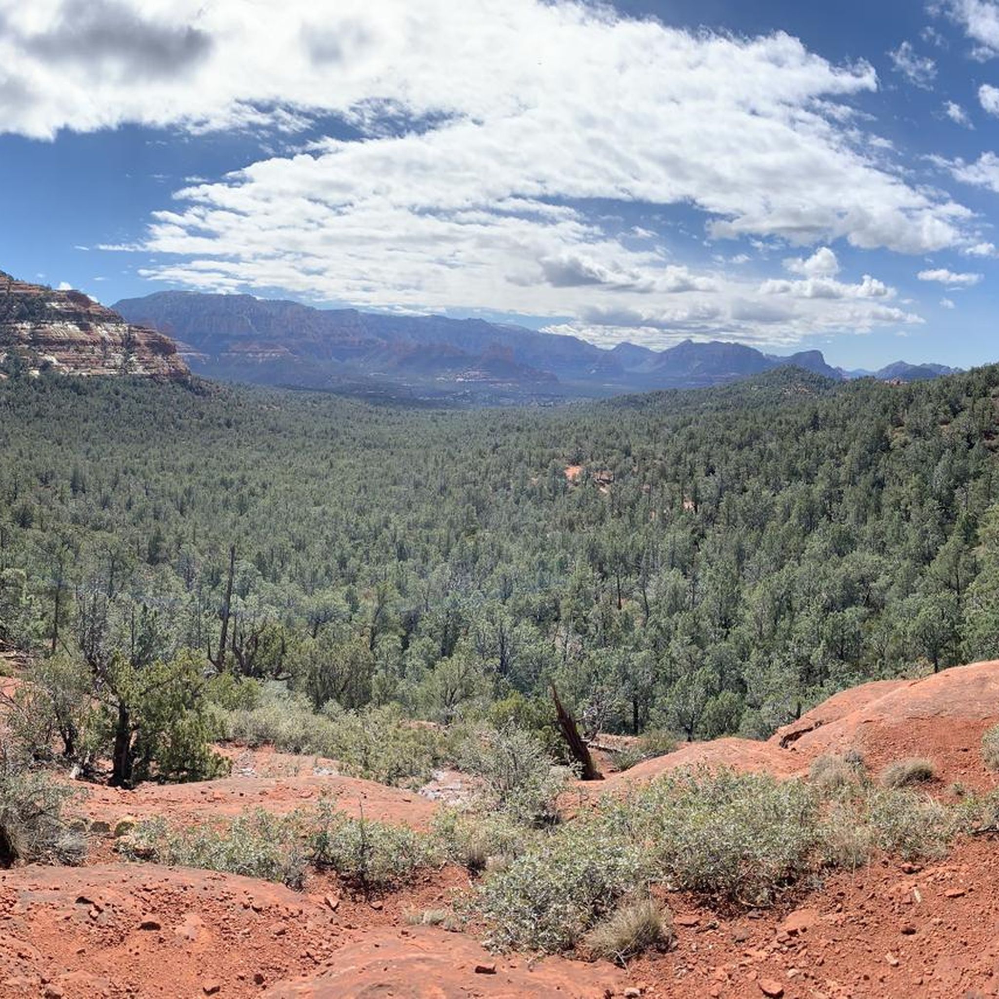
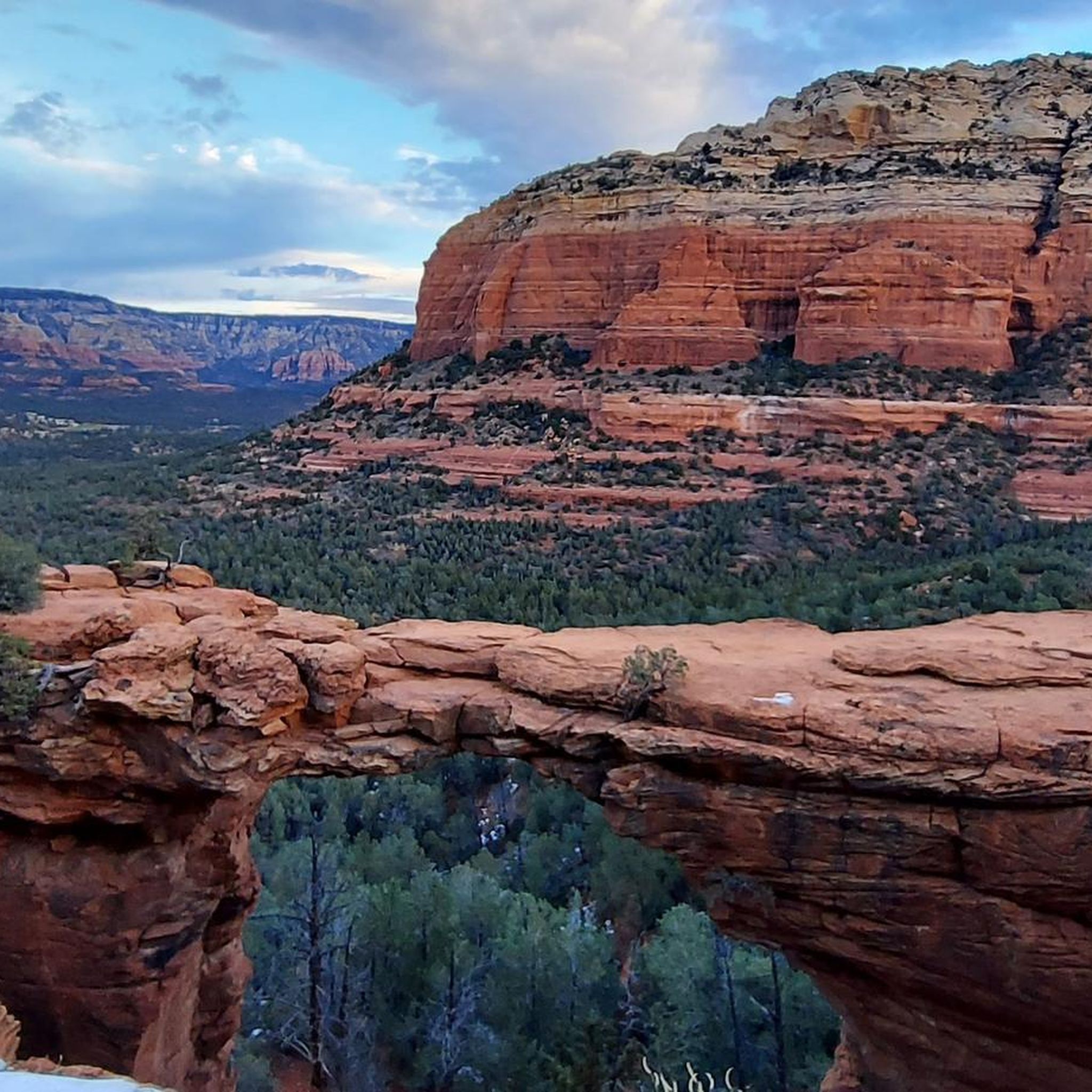
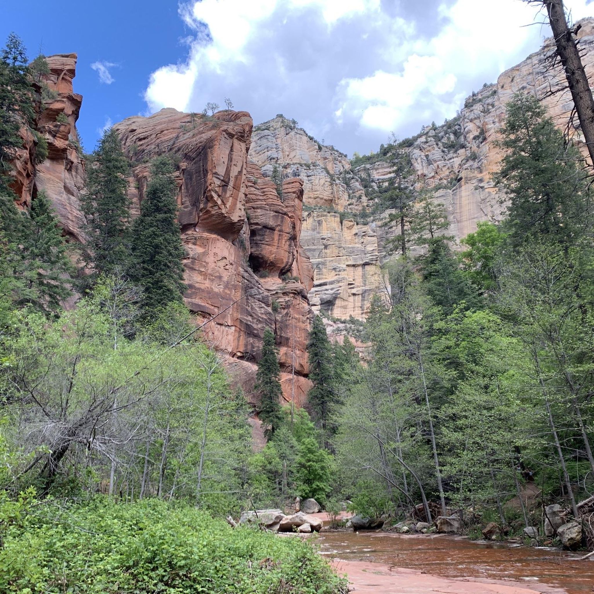
Other adventures around Oak Creek Canyon

Tips from the Community

People came towards me here who warned me about a rattlesnake on the trail. One should always be careful, as besides the poisonous Arizona black rattlesnake, there are other animals one would rather not encounter. I stayed overnight at the nearby Pine Flat Campground. There, upon check-in, you are shown photos of this rattlesnake, the non-poisonous Arizona mountain kingsnake, and the skunk as a warning. It is good that you warn others yourself or that others warn you, because you don't recognize many animals in front of you if they are not moving. At the entrance to the parking lot, you can buy a ticket for the parking lot from a machine, which you must place on the dashboard.
0
0

You can find this small tank while cycling Boynton Pass Road. Given the desert vibes, seeing water is always refreshing.
0
0
If you want an easygoing out-and-back with big red rock views, this is a solid pick. It’s not too long, with gentle climbs as you head past the golf course into the canyon. Super quiet, especially early or late in the day. Great for a relaxed spin or adding a scenic detour to a longer ride around Sedona.
0
0
A smooth paved climb with awesome red rock views above Dry Creek. It’s got a steady grade that’s fun to spin up, with wide shoulders and great scenery. Best early in the day before it gets hot or busy. A solid spot to just enjoy the ride and take in Sedona’s colors.
0
0

This trailhead is a starting point for entering the scenic Boynton Canyon and Deadman's Pass Trail. A Red Rock or America the Beautiful Pass is required. There is a vault toilet and plenty of parking; however, it is a popular location for hikers, and arriving early in the day is best.
0
0

Great afternoon road ride with ample parking and no fees
0
0

The Sedona Airport certainly makes a statement for people flying into the city. The airport is perched atop a hill that offers stunning views of the city and the massive red rocks as far as the eye can see. There is a kicker of a hill to get up here and when you reach the top, there is a gravel lot you can pull into.
0
0
The Sedona Airport certainly makes a statement for people flying into the city. The airport is perched atop a hill that offers stunning views of the city and the massive red rocks as far as the eye can see. There is a kicker of a hill to get up here and when you reach the top, there is a gravel lot you can pull into.
0
0
Frequently Asked Questions
How many road cycling routes are available in Oak Creek Canyon?
Oak Creek Canyon offers over 10 road cycling routes, catering to various skill levels. The region's dramatic red rock formations and lush riparian zones provide a unique backdrop for every ride.
What are the difficulty levels of road cycling routes in Oak Creek Canyon?
The routes in Oak Creek Canyon range from easy to moderate. You'll find 3 easy routes perfect for a relaxed ride, and 9 moderate routes that offer more challenging ascents and exhilarating descents, often featuring the tight switchbacks and varying elevations characteristic of the canyon.
Are there any beginner-friendly road cycling routes in Oak Creek Canyon?
Yes, there are several easy routes suitable for beginners. A great option is the Thunder Mountain Road Bike Route, an accessible 10.8-mile (17.4 km) path that still provides notable vistas without overly challenging terrain.
Where can I find challenging road cycling routes in Oak Creek Canyon?
For those seeking a challenge, the canyon's topography with its significant elevation changes and switchbacks provides ample opportunity. Routes like the OK Tank – Bell Canyon Tank loop from LIttle Sugarloaf Summit, a 28.6-mile (46.0 km) route with over 560 meters of elevation gain, offer a rewarding experience for moderate to experienced cyclists.
What are some of the longest road cycling routes in the area?
If you're looking for longer rides, consider the OK Tank – Bell Canyon Tank loop from LIttle Sugarloaf Summit, which spans 28.6 miles (46.0 km), or the Fay Canyon Trailhead – OK Tank loop from Sedona, covering 27.4 miles (44.0 km). These routes allow you to immerse yourself in the diverse landscapes for an extended period.
What do other road cyclists enjoy most about road cycling in Oak Creek Canyon?
The komoot community highly rates road cycling in Oak Creek Canyon, with an average score of 5.0 stars. Cyclists frequently praise the stunning scenic byways, the dramatic red rock formations, and the unique experience of riding through a lush riparian zone. The variety of routes, from easy to challenging, is also a significant draw.
Are there any loop road bike routes in Oak Creek Canyon?
Yes, several routes offer a loop experience, allowing you to start and end in the same location. The OK Tank – Bell Canyon Tank loop from LIttle Sugarloaf Summit and the Fay Canyon Trailhead – Lover's Knoll loop from Soldiers Pass Rd are excellent examples of circular routes that showcase the canyon's beauty.
What scenic viewpoints can I expect along the road cycling routes?
Oak Creek Canyon is renowned for its breathtaking scenery. Highway 89A, which many routes follow, is consistently rated as one of Arizona's most scenic drives. You'll encounter towering red rock formations and lush creek-side environments. Keep an eye out for highlights like Secret View and the dramatic canyon walls along State Route 89A.
What is the best time of year for road biking in Oak Creek Canyon?
Oak Creek Canyon offers seasonal beauty throughout the year. While spring and fall provide pleasant temperatures and vibrant foliage (especially in autumn), even winter can be unique with a snow-blanketed landscape. Summer can be hot, but the lush canyon offers some respite. Always check local weather conditions before heading out.
Are there any other attractions or points of interest near the road cycling routes?
Beyond cycling, Oak Creek Canyon is rich with natural attractions. You can explore various trails like Jacks Canyon Trail, or visit natural monuments such as Devil's Kitchen Sinkhole. The area is also known for its hiking, swimming in Oak Creek, and Slide Rock State Park, offering a natural waterslide.
Where can I park when road cycling in Oak Creek Canyon?
While specific parking details for each route vary, the Oak Creek Canyon area, including Sedona, offers numerous designated parking areas and trailheads. Many routes, such as those starting near Dry Creek Road or Soldiers Pass Road, have accessible parking. It's advisable to check the specific route details on komoot for the most convenient starting points.
Can I find cafes or places to refuel along the road cycling routes?
Yes, as a popular tourist destination, Oak Creek Canyon and the surrounding towns like Sedona offer various amenities. Along Highway 89A and within Sedona, you'll find cafes, restaurants, and shops where you can refuel and take a break during your ride. Planning your route with komoot can help you identify convenient stops.
Most popular attractions around Oak Creek Canyon

Get inspired with the komoot mobile app


Explore more
Browse the best Road cycling routes in other regions.
