The 9 Most Amazing Peaks around Williamson
Best mountain peaks around Williamson are characterized by pine-covered mountains and unique rock formations within the Prescott National Forest. This region offers a variety of outdoor experiences, including extensive trail systems for hiking and scenic viewpoints. Notable areas feature panoramic vistas of surrounding forests, mountains, and valleys. These varied terrains provide opportunities for both challenging climbs and scenic explorations.
Best mountain peaks around Williamson
- The most popular mountain peaks is Badger Mountain Trail, a trail that offers views towards…
Last updated: June 24, 2026
Badger Mountain Trail
Highlight (Segment) • Trail
Tip by

Wolverton Mountain Summit View
Highlight • Summit
Tip by

Sign up now to discover places like this
Get recommendations on the best single tracks, peaks, & plenty of other exciting outdoor places.
Sign up for free
Thumb Butte viewpoint
Highlight • Viewpoint
Tip by

Start today with a free account
Your next adventure awaits.
Login or Signup

Tips from the Community

Highest point on the famous Prescott Circle Trail, the other PCT.🙂
0
0

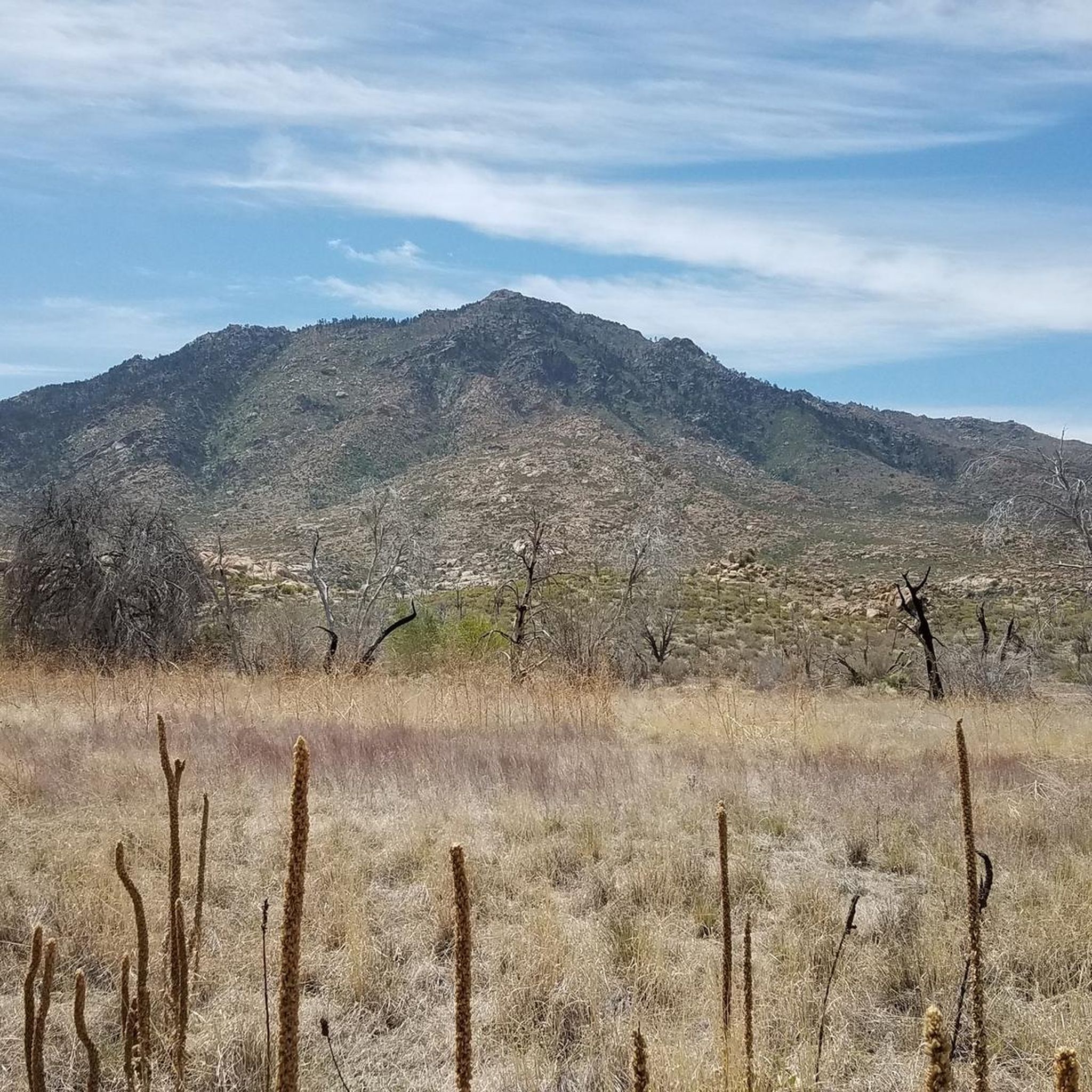
The southern part of the path wrapping around Badger Mountain is somewhat shaded, but these northern miles are on a pretty exposed hilly desert path. The views towards Prescott and Prescott Valley are worth the work as long as you've brought enough water along.
0
0
The southern part of the path wrapping around Badger Mountain is somewhat shaded, but these northern miles are on a pretty exposed hilly desert path. The views towards Prescott and Prescott Valley are worth the work as long as you've brought enough water along.
0
0

This viewpoint on the Thumb Butte trail is a perfect spot to take a picture or simply soak in the incredible scenery. From this overlook you can see the stunning rock formations of the Granite Dells, the city of Prescott, and the surrounding mountain ranges all spread out before you. It's a beautiful place to pause and be present, enjoying the panoramic views of the natural landmarks and landscape. Definitely bring your camera to capture this picture-perfect vista.
0
0
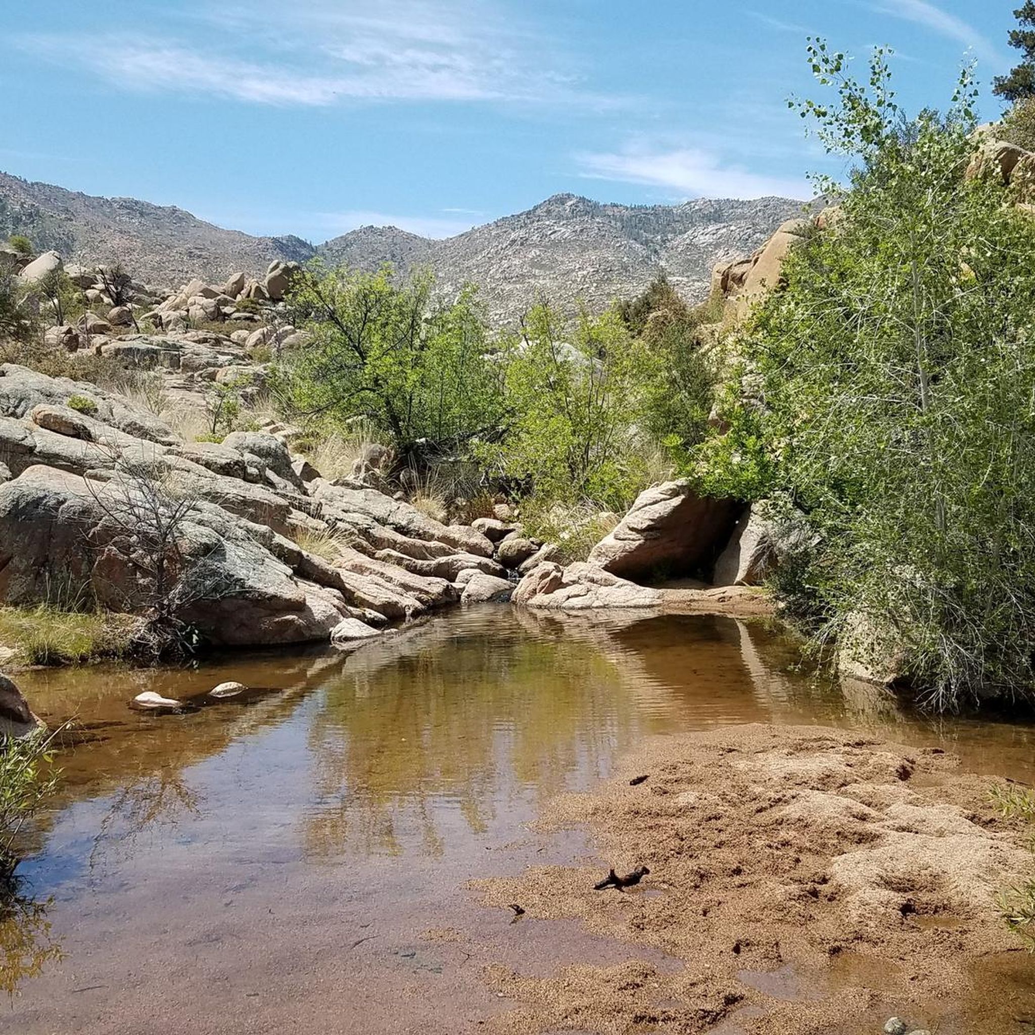
Wolverton Mountain is a 6,704-foot mountain along the Wolverton-Quartz Loop in Prescott National Forest. The summit is above the trees and offers panoramic views of the surrounding forest, mountains, and valley. You can even see the city of Prescott down below.
0
0
Wolverton Mountain is a 6,704-foot mountain along the Wolverton-Quartz Loop in Prescott National Forest. The summit is above the trees and offers panoramic views of the surrounding forest, mountains, and valley. You can even see the city of Prescott down below.
0
0
'P' for Prescott marks Badger Mt. So, for all the Arizona Peakbaggers, this is a must. It can be ascended from the Badger Mountain trail, either from the Turley trailhead or from behind York Jeep.
4
0
Frequently Asked Questions
What are some of the most popular mountain peaks and trails around Williamson, Arizona?
The area around Williamson, Arizona, offers several popular spots. Badger Mountain Trail is a must for Arizona peakbaggers, offering views towards Prescott and Prescott Valley. Another highly regarded spot is Wolverton Mountain Summit View, which provides panoramic views of the surrounding forest, mountains, and valley from its 6,704-foot summit. Additionally, the Thumb Butte viewpoint is cherished for its incredible scenery, including the rock formations of the Granite Dells and the city of Prescott.
What kind of terrain and difficulty can I expect on mountain peaks around Williamson, Arizona?
The mountain peaks around Williamson, Arizona, are characterized by pine-covered mountains and unique rock formations within the Prescott National Forest. You can expect a variety of terrain, from exposed hilly desert paths on trails like Badger Mountain to forested ascents. Difficulty levels range from intermediate to challenging, with some trails offering shaded sections and others being more exposed. For example, the 6,704-foot Wolverton Mountain summit is above the trees, offering expansive views.
What natural features and viewpoints can I find near Williamson, Arizona?
The region is rich in natural beauty. You'll find pine-covered mountains, unique rock formations like those at Thumb Butte, and dramatic valleys. Key viewpoints include the Wolverton Mountain Summit View, which offers panoramic vistas of the surrounding forest and valley, and the Thumb Butte viewpoint, where you can see the stunning Granite Dells, the city of Prescott, and distant mountain ranges.
What is the best time to visit the mountain peaks around Williamson, Arizona?
While specific seasonal advice for the Williamson, AZ peaks isn't detailed, the area around Williams, AZ (which shares similar geography) is known for its diverse recreational opportunities year-round. Given the exposed nature of some trails, bringing enough water is always recommended, especially during warmer months. For clearer views on trails like Death Rock in West Virginia (a different Williamson), colder months when foliage is thinner are suggested, which might also apply to some Arizona peaks.
Are there family-friendly or dog-friendly options for exploring the mountain peaks near Williamson, Arizona?
Yes, there are options for family-friendly and dog-friendly exploration. While specific highlights don't explicitly state 'family-friendly' or 'dog-friendly,' the presence of easy hiking routes nearby suggests accessible options. For example, the Easy hikes around Williamson guide lists routes like the Thumb Butte Trail Loop, which are generally suitable for a wider range of visitors. Always check specific trail regulations for dog policies.
Are there amenities like cafes or accommodation near the mountain peaks around Williamson, Arizona?
The town of Williams, Arizona, often associated with the broader 'Williamson' area, is known for its vibrant historic downtown district with a Route 66 theme. It offers various amenities including cafes, restaurants, and accommodation options. This makes it a convenient base for exploring the nearby mountain peaks and trails in the Prescott National Forest.
What outdoor activities can I do near the mountain peaks around Williamson, Arizona?
Beyond hiking the peaks, the Williamson area offers a wide range of outdoor activities. You can find numerous road cycling routes, such as the Prescott to Skull Valley loop, and general cycling tours like the Skull Valley Overlook & Thumb Butte Road loop. There are also many easy hikes, including the Thumb Butte Trail Loop, perfect for a leisurely exploration of the natural surroundings.
Are there easy mountain hikes available near Williamson, Arizona?
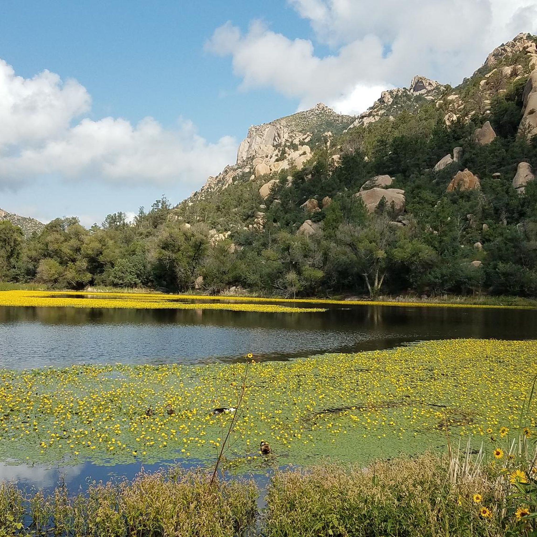
Yes, there are several easy hiking options around Williamson, Arizona. The Easy hikes around Williamson guide features routes like the Thumb Butte Trail Loop, the Constellation Trails Memorial on North 40 Trail Loop, and the Granite Basin Lake loop, all offering accessible ways to enjoy the mountain scenery.
How long do the mountain trails around Williamson, Arizona typically take?
The duration of trails around Williamson, Arizona, varies depending on the route and your pace. For instance, easy hikes like the Thumb Butte Trail Loop are around 3.5 km and can be completed in a relatively short time. More challenging routes to summits like Badger Mountain or Wolverton Mountain will naturally take longer, often requiring several hours. Always check the specific trail length and difficulty before you go.
Do I need permits or special parking for hiking mountain peaks around Williamson, Arizona?
While the guide data doesn't specify permits for the immediate Williamson, AZ peaks, it's always wise to check with local authorities like the Prescott National Forest for the most current regulations regarding permits, especially for wilderness areas or overnight stays. Parking is generally available at trailheads, but it's advisable to research specific parking situations for your chosen peak or trail in advance.
What makes the mountain peaks around Williamson, Arizona, unique?
The mountain peaks around Williamson, Arizona, are unique for their combination of pine-covered landscapes, distinctive rock formations like those at Thumb Butte, and their location within the Prescott National Forest. They offer a blend of challenging climbs and accessible viewpoints, providing panoramic vistas of the surrounding forest, mountains, and valleys. The area's natural beauty and diverse trail systems make it a notable destination for outdoor enthusiasts.
What is the significance of Mount Williamson in California compared to the peaks near Williamson, Arizona?
Mount Williamson in California is a highly significant peak in the Sierra Nevada, standing as the second-highest mountain in California at 14,379 feet (4,383 meters). It's a challenging alpine objective for experienced mountaineers. In contrast, the peaks near Williamson, Arizona, such as Wolverton Mountain (6,704 feet), offer a different experience with pine-covered mountains and unique rock formations within the Prescott National Forest, providing a range of hiking and scenic viewing opportunities that are generally less extreme than high-altitude mountaineering in the Sierra Nevada.
Most popular attractions around Williamson

Get inspired with the komoot mobile app


Explore more
See even more amazing summits around Williamson with these guides:
