The best running trails around Dam Saidenbach
4.5
(149)
725
runners
105
runs
Jogging around Dam Saidenbach offers a variety of routes through a landscape characterized by reservoirs, dams, and surrounding natural areas. The region features undulating terrain with gentle hills, providing varied elevation changes suitable for different fitness levels. Many running routes follow the shores of the Saidenbach Reservoir and other local water bodies, offering scenic views. The trails often pass through wooded sections and open areas, providing a mix of environments for runners.
Best jogging routes around Dam Saidenbach
- The most…
Last updated: July 8, 2026
4.6
(5)
57
runners
Moderate run. Good fitness required. Mostly paved surfaces. Suitable for all skill levels.
4.7
(6)
69
runners
Hard run. Very good fitness required. Mostly paved surfaces. Suitable for all skill levels.

Sign up for free
3.7
(15)
13
runners
Moderate run. Good fitness required. Mostly paved surfaces. Suitable for all skill levels.
4.0
(1)
21
runners
Moderate run. Good fitness required. Mostly paved surfaces. Suitable for all skill levels.
4.5
(2)
7
runners
9.14km
01:00
190m
190m
Moderate run. Good fitness required. Mostly paved surfaces. Suitable for all skill levels.
Get access to more routes and recommendations from other explorers.
Sign up for free
Already have an account?
Our route recommendations are based on thousands of hikes, rides, and runs completed by other people on komoot.
Start today with a free account
Your next adventure awaits.
Login or Signup
Tips from the Community


The bridge is located in Hohenfichte, a district of the municipality of Leubsdorf, and connects Hohenfichte on the left with Metzdorf on the right bank of the Flöha.
12
1

Always so beautiful, whatever the weather. ☀️👍 It's also simply a dream for hiking.
0
0

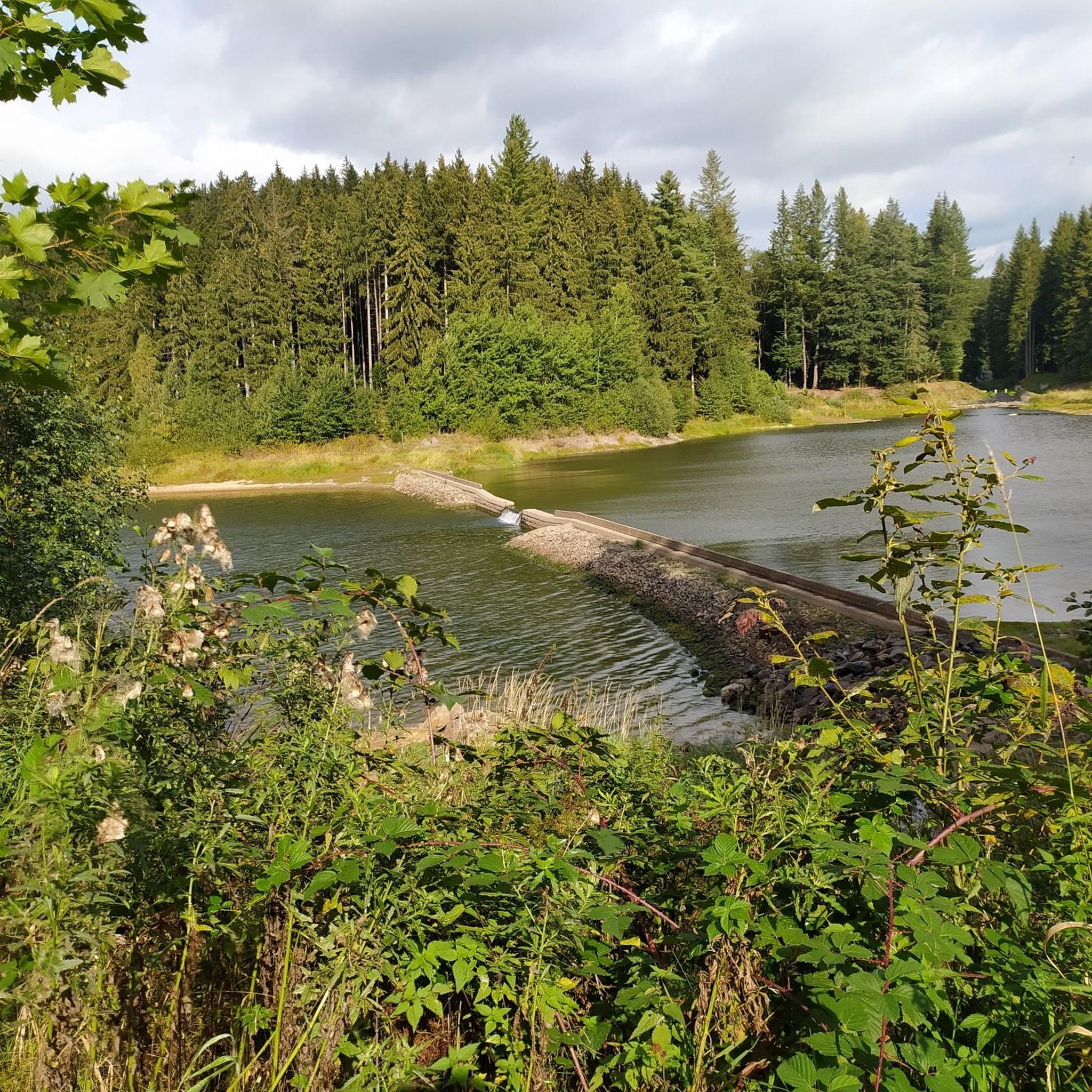
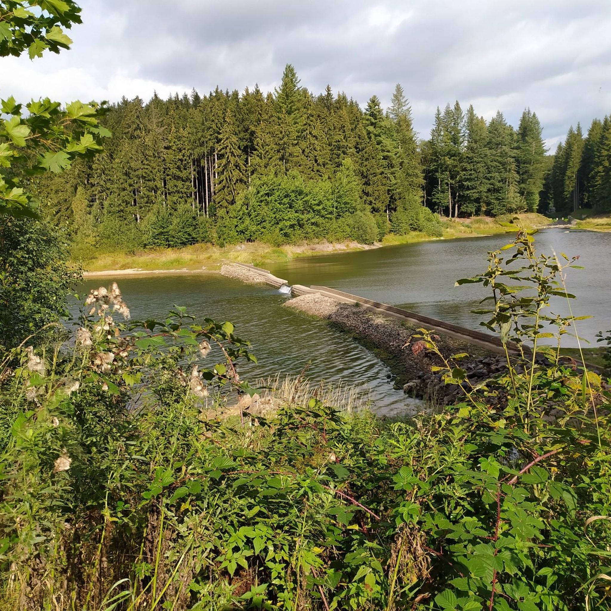
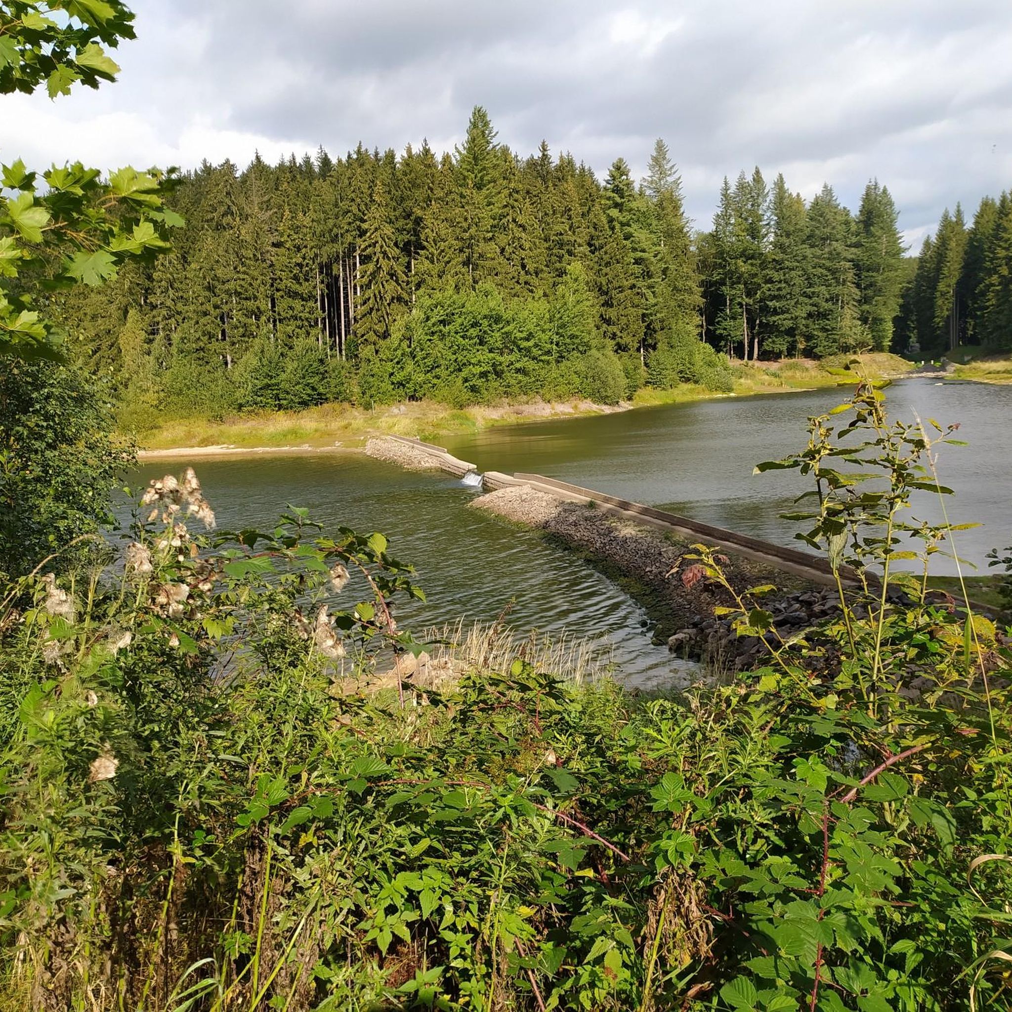
The dam is connected to the Neunzehnhain I and II dams and the Einsiedel dam via canals, pipelines, tunnels, and streams. A charming landscape conservation area of approximately 4,500 hectares extends around the Saidenbach Dam.
4
0
The Saidenbach drinking water reservoir was built between 1929 and 1933 northeast of Pockau-Lengefeld. It dams a total of six tributaries: the Forchheimer Dorfbach, Gründelbach, Haselbach, Hölzelbergbach, Lippersdorfer Bach, and Saidenbach. With over 146 hectares of water surface (22.4 million m³ of water), the reservoir is the largest reservoir in the Central Ore Mountains and also the largest drinking water reservoir in the "Central Ore Mountains" integrated water system. Together with the Einsiedel, Neunzehnhain 1, and Neunzehnhain 2 reservoirs, it provides raw water for the Einsiedel waterworks, which supplies Chemnitz and southern Saxony with drinking water. https://www.wasserwirtschaft.sachsen.de/TS_Saidenbach.html
4
0

A truly beautiful path and view. Especially recommended when the sun is setting. It feels like Canada. Hardly any people, no houses, and a fantastic landscape.
4
0
a nice corner for a tour
1
2

beautiful bridge over the Pockau
0
0
Frequently Asked Questions
How many running routes are available around Dam Saidenbach?
There are nearly 90 running routes available around Dam Saidenbach. These include a variety of options, with 17 easy, 65 moderate, and 7 difficult trails, catering to different fitness levels.
What are the typical lengths of jogging routes in Dam Saidenbach?
The running routes around Dam Saidenbach vary in length. For example, the Outhouse – Röthenbach Dam loop from Zweistein is about 5.4 miles (8.7 km), while the challenging Saidenbach Reservoir – View of the Saidenbach Reservoir loop from Lengefeld-Rauenstein extends to 11.6 miles (18.6 km).
Are there any easy running trails suitable for beginners in Dam Saidenbach?
Yes, Dam Saidenbach offers 17 easy running trails perfect for beginners or those looking for a less strenuous run. These routes typically feature gentler terrain and shorter distances.
Are the running routes around Dam Saidenbach suitable for families?
Many of the easier and moderate routes around Dam Saidenbach are suitable for families, especially those with older children. The region's undulating terrain provides varied experiences, and routes along the reservoir shores are generally pleasant. Always check the specific route details for elevation and surface conditions to ensure it meets your family's needs.
Can I bring my dog on the jogging trails in Dam Saidenbach?
Yes, many trails around Dam Saidenbach are dog-friendly. However, it's always recommended to keep your dog on a leash, especially near wildlife, livestock, or in more populated areas. Please also be mindful of local regulations and clean up after your pet.
What kind of scenery can I expect on the running routes?
The running routes in Dam Saidenbach are characterized by scenic views of reservoirs and dams, including the prominent Saidenbach Reservoir. You'll often pass through a mix of wooded sections and open areas, offering diverse natural environments. Many routes provide continuous views of the water, such as the Saidenbach Reservoir – View of the Saidenbach Reservoir loop from Forchheim.
Are there circular running routes available?
Yes, Dam Saidenbach is known for its numerous circular running routes. Many trails are designed as loops around the reservoirs and dams, offering convenient starting and ending points. Examples include the Saidenbach Reservoir – View of the Saidenbach Reservoir loop from Forchheim and the Outhouse – Röthenbach Dam loop from Zweistein.
What do other runners enjoy most about jogging in Dam Saidenbach?
The running routes in Dam Saidenbach are highly rated by the komoot community, with an average score of 4.5 stars from over 100 reviews. Runners often praise the varied terrain, the beautiful reservoir views, and the well-maintained paths that offer a mix of challenges and scenic beauty.
Are there any viewpoints along the running trails?
Yes, several routes offer excellent viewpoints, particularly overlooking the Saidenbach Reservoir. The View of the Saidenbach Reservoir is a notable highlight that can be incorporated into your run, providing stunning panoramic vistas of the water and surrounding landscape.
Is it possible to reach the jogging trails by public transport?
While specific public transport options vary by starting point, some villages and towns surrounding Dam Saidenbach may have bus connections. It's advisable to check local bus schedules for routes serving areas like Forchheim or Pockau-Lengefeld, which are common starting points for trails.
Where can I park my car when visiting the jogging routes?
Parking is generally available in the villages and towns adjacent to the reservoir, such as Forchheim, Lengefeld-Rauenstein, or Pockau-Lengefeld. Look for designated parking areas near trailheads or local amenities. Always ensure you park legally and respectfully.
What is the best time of year for running around Dam Saidenbach?
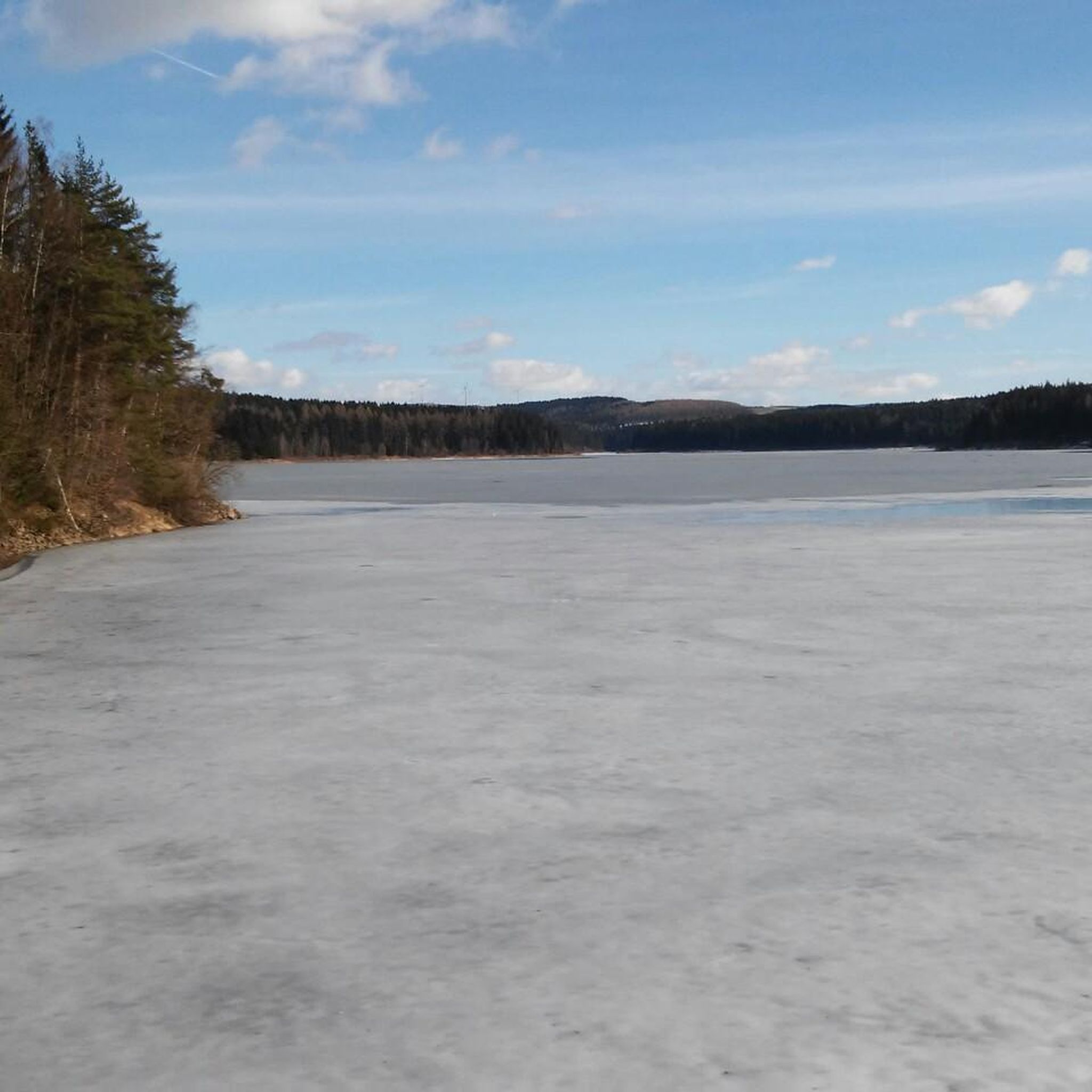
Spring, summer, and autumn are generally excellent times for running around Dam Saidenbach, offering pleasant temperatures and vibrant scenery. Spring brings blooming nature, summer provides lush greenery, and autumn showcases beautiful foliage. While winter running is possible, be prepared for colder temperatures and potentially icy or snowy conditions on trails.
Most popular routes around Dam Saidenbach
Most popular attractions around Dam Saidenbach

Get inspired with the komoot mobile app


Explore more
Browse the best Running Trails & Routes in other regions.
