The best cycling routes around Stausee Oberwald
4.6
(3568)
12,465
riders
456
rides
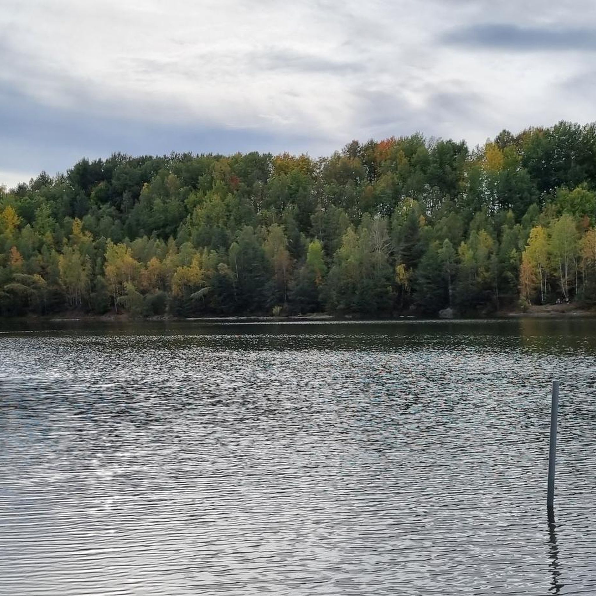
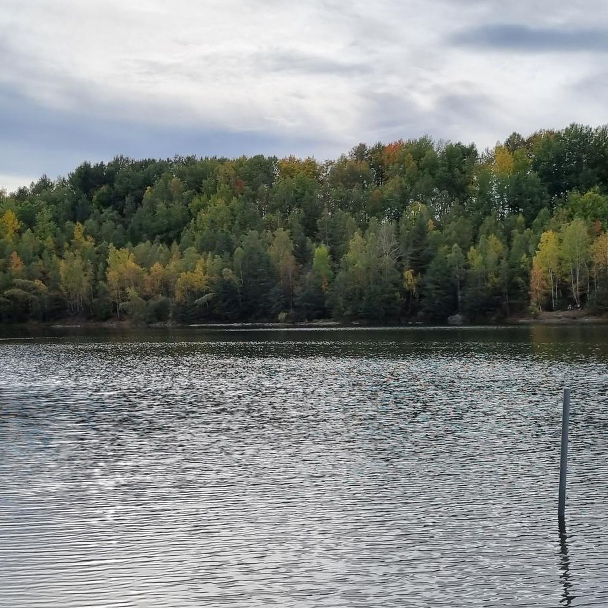
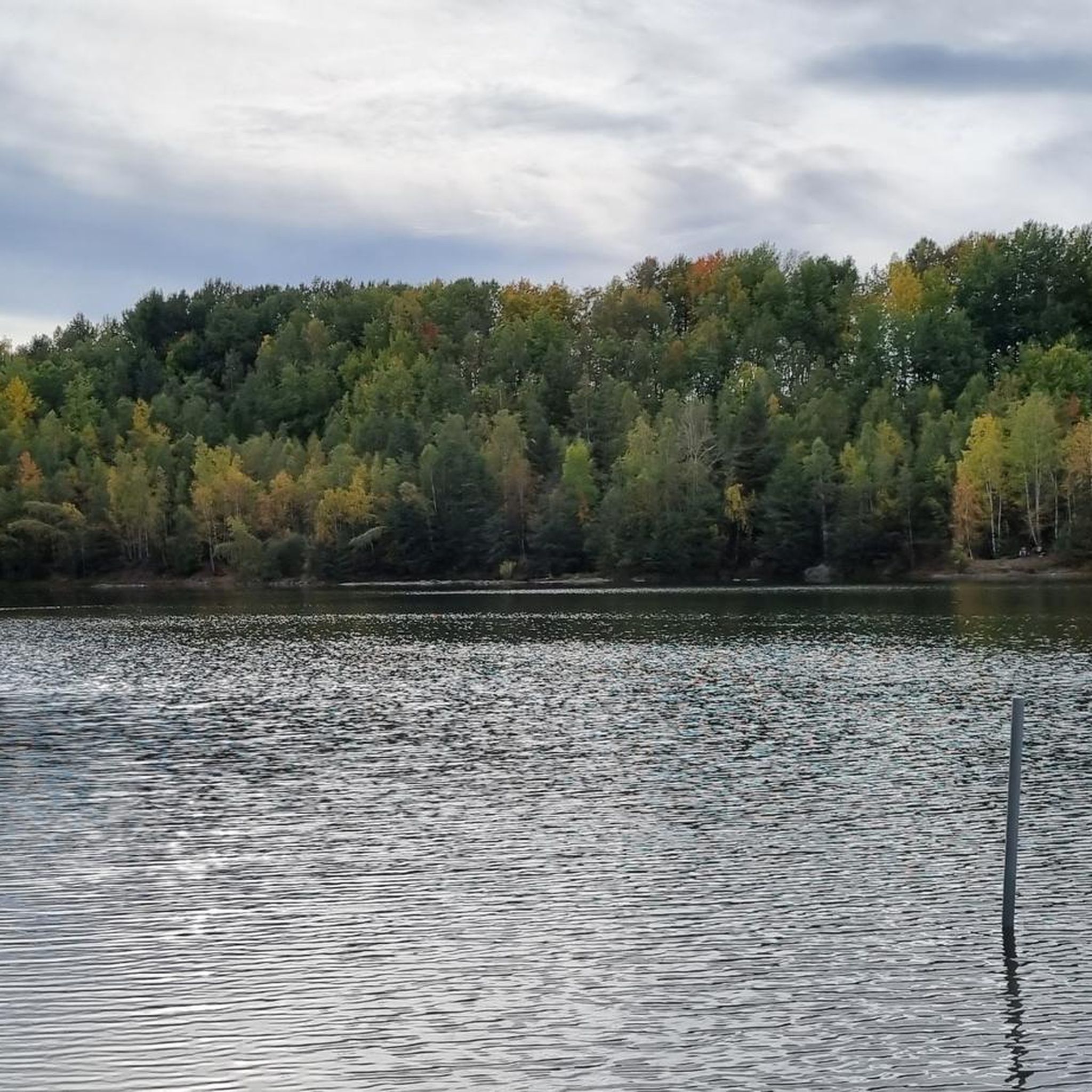
Touring cycling around Stausee Oberwald offers a network of routes through diverse landscapes. The region features an artificial lake, surrounded by natural monuments like the Pechgraben and Schindelgraben streams, and extensive forest areas. The terrain includes rolling hills and varied elevations, providing options for different cycling preferences. The lake itself is 16 hectares and originated from a former nickel mining area.
Best touring cycling routes around Stausee Oberwald
- The most popular touring cycling route is Gondelteich Waldenburg – Gröndelteich loop…
Last updated: July 1, 2026
4.5
(2)
16
riders
22.7km
01:36
250m
250m
Moderate bike ride. Good fitness required. Mostly paved surfaces. Suitable for all skill levels.
9
riders
19.7km
01:17
190m
190m
Moderate bike ride. Good fitness required. Mostly paved surfaces. Suitable for all skill levels.

Sign up for free
3.5
(2)
6
riders
20.7km
01:18
190m
200m
Moderate bike ride. Good fitness required. Mostly paved surfaces. Suitable for all skill levels.
8
riders
12.9km
00:49
90m
90m
Easy bike ride. Great for any fitness level. Mostly paved surfaces. Suitable for all skill levels.
5.0
(1)
8
riders
Moderate bike ride. Good fitness required. Mostly paved surfaces. Suitable for all skill levels.
Get access to more routes and recommendations from other explorers.
Sign up for free
Already have an account?
Our route recommendations are based on thousands of hikes, rides, and runs completed by other people on komoot.
Start today with a free account
Your next adventure awaits.
Login or Signup

Tips from the Community

Here you can give space to your wanderlust 😁
0
0

Here you should be careful where you go because where there is a path there is none and you will find yourself knee-deep in mud.
0
0

For cyclists and pedestrians only
0
0

An idyllic, peaceful place to enjoy meditative silence. An extraordinary cemetery.
0
0

Beautiful view towards Leipzig.
6
0

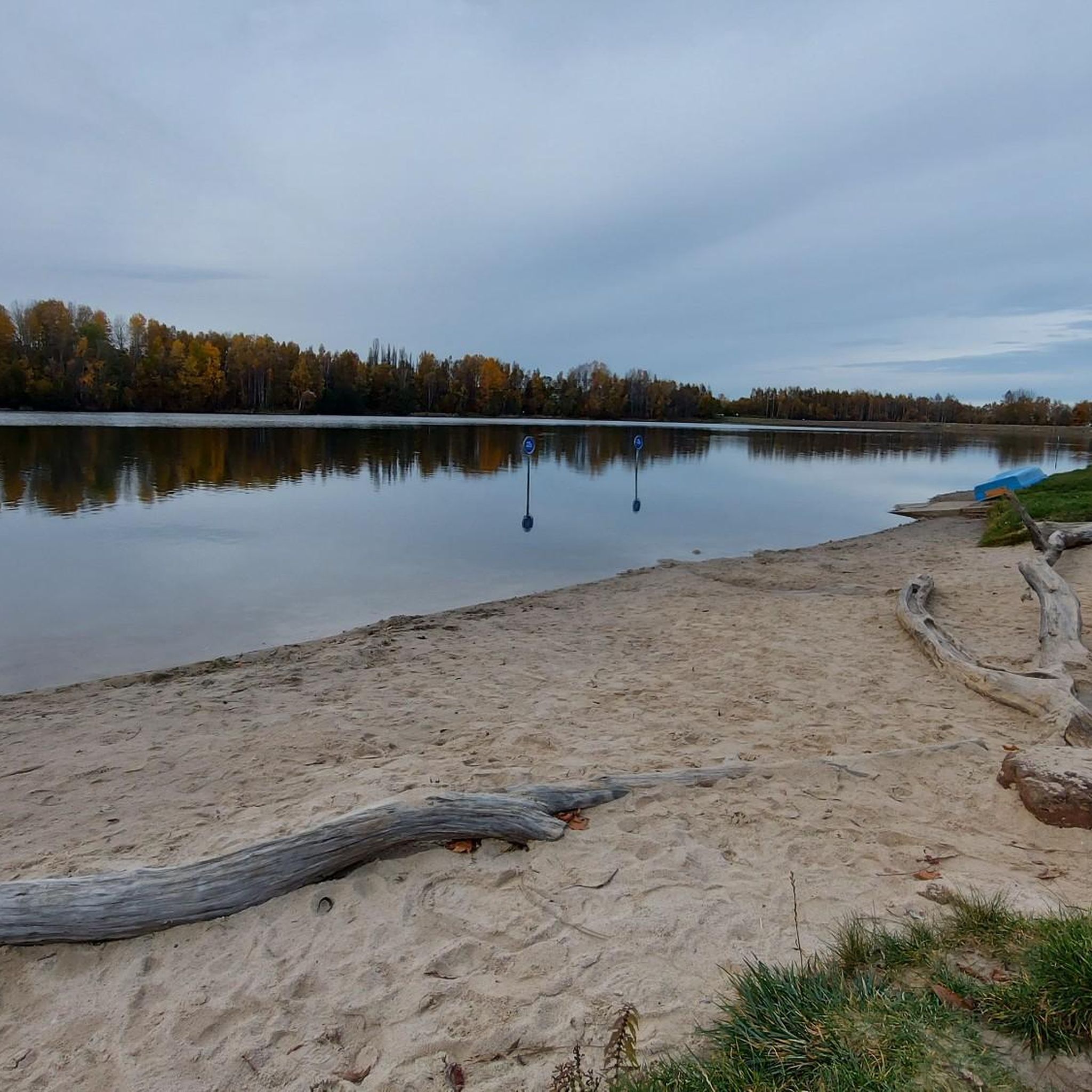
Pretty little pond
1
2

great corner, always worth a trip
0
1
Frequently Asked Questions
How many touring cycling routes are available around Stausee Oberwald?
There are over 460 touring cycling routes in the Stausee Oberwald region, offering a wide variety of options for different skill levels and preferences.
What kind of terrain can I expect on touring cycling routes in Stausee Oberwald?
The region features a diverse landscape, including routes around the artificial lake, through forests, and along protected streams. You can expect a mix of rolling hills and varied elevations, characteristic of a low mountain range, providing options from gentle rides to more challenging ascents.
Are there easy touring cycling routes suitable for beginners or casual riders?
Yes, Stausee Oberwald offers over 140 easy touring cycling routes. An example is the Rest Area with View – Callenberg Cycle Path loop from Callenberg, which is an easy 12.9-mile (20.8 km) trail with moderate elevation changes, perfect for a relaxed ride.
What are some notable natural features or landmarks I can see while cycling around Stausee Oberwald?
While cycling, you can enjoy the picturesque panorama of the Oberwald Reservoir itself. The region also features natural monuments like the Pechgraben and Schindelgraben streams, known for their meandering paths through the low mountain range. For a unique historical stop, consider visiting the Karl May Cave, a former mine tunnel with historical significance.
Are there any family-friendly touring cycling routes in the area?
Many of the easy and moderate routes are suitable for families. The varied terrain and scenic views make for an enjoyable outing. For specific family-friendly options, look for routes with lower elevation gains and shorter distances, such as those categorized as 'easy' on komoot.
Can I bring my dog on the touring cycling routes?
Generally, dogs are welcome on most public cycling paths in the Stausee Oberwald region. However, it's always advisable to keep your dog on a leash, especially in nature protection areas or near other visitors, and to check local regulations for specific trails or protected zones.
Are there circular touring cycling routes around Stausee Oberwald?
Yes, many of the touring cycling routes in Stausee Oberwald are designed as loops, allowing you to start and end at the same point. For instance, the popular Gondelteich Waldenburg – Gröndelteich loop from Callenberg is a 9.9-mile (15.9 km) circular route.
What do other touring cyclists enjoy most about cycling in Stausee Oberwald?
The area is highly rated by the komoot community, with an average score of 4.5 stars from over 2,900 reviews. Cyclists often praise the diverse landscapes, the well-maintained paths, and the opportunities to explore both the artificial lake panorama and the surrounding natural forests.
Are there places to eat or get refreshments along the touring cycling routes?
While specific cafes directly on every route may vary, the Stausee Oberwald area, being a popular recreational spot, offers various facilities. You can find options for refreshments and meals near the lake and in nearby towns. It's a good idea to check for specific establishments along your chosen route before you set off.
Is there parking available for cyclists near the routes?
Yes, there are parking facilities available in and around Stausee Oberwald, particularly near popular starting points for routes. Many routes, such as the Falkenblick – Schönburger Land Forest Cemetery loop from Callenberg, often begin from areas with accessible parking.
What is the best season for touring cycling in Stausee Oberwald?
The spring, summer, and early autumn months generally offer the most pleasant conditions for touring cycling in Stausee Oberwald. During these seasons, the weather is typically mild, and the natural scenery is at its most vibrant. Winter cycling is possible, but routes may be affected by snow or ice.
Are there any routes that offer views of the A4 motorway or other unique perspectives?
Yes, some routes provide unique perspectives of the surrounding infrastructure and landscape. For example, the Pond at the Old Sachsenring – Cycle path along the A4 loop from Callenberg offers views that include the cycle path running alongside the A4.
Most popular routes around Stausee Oberwald
Most popular attractions around Stausee Oberwald

Get inspired with the komoot mobile app


Explore more
Browse the best Cycling routes in other regions.
