The best walks and hikes around Runstädter Lake
4.6
(2680)
10,452
hikers
446
hikes
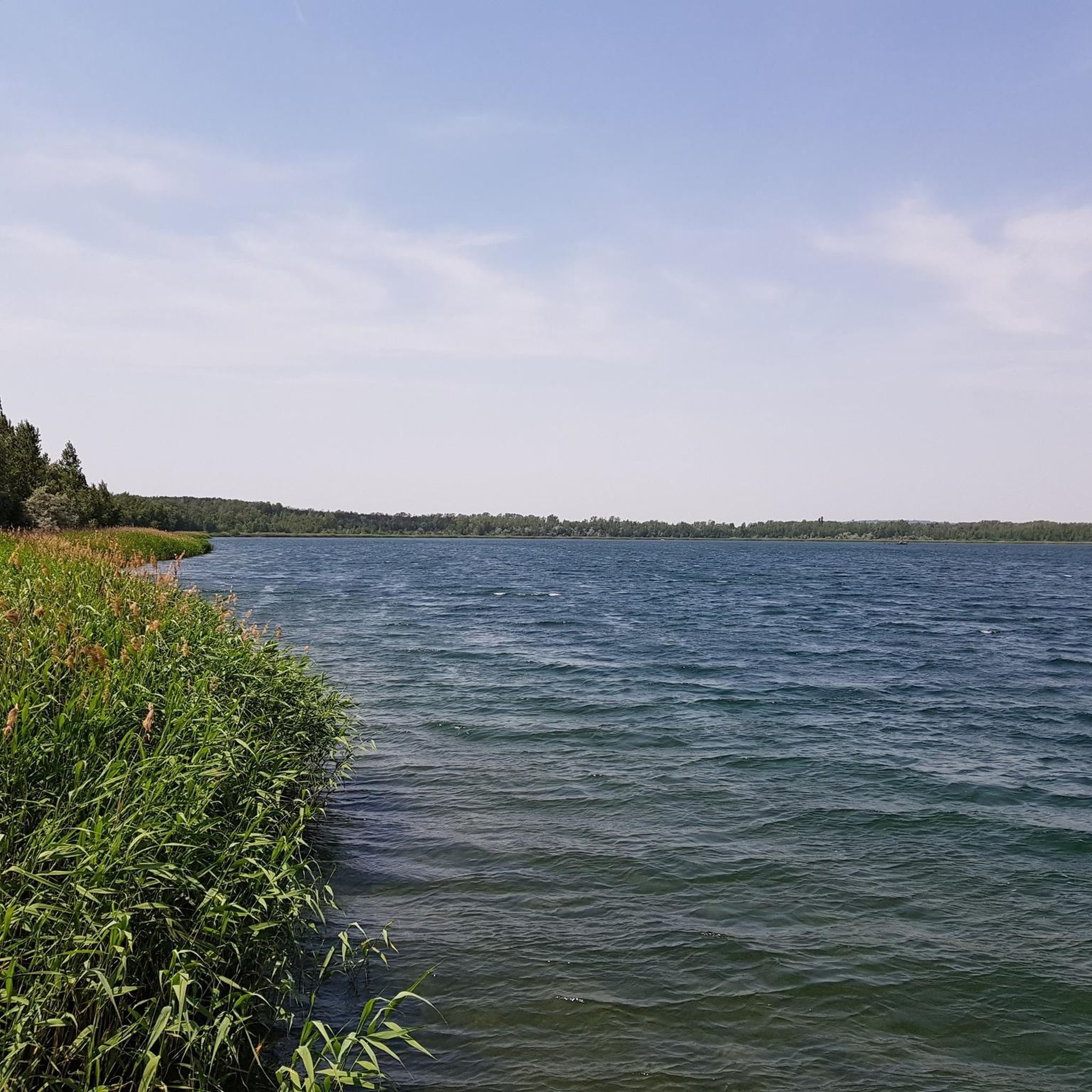
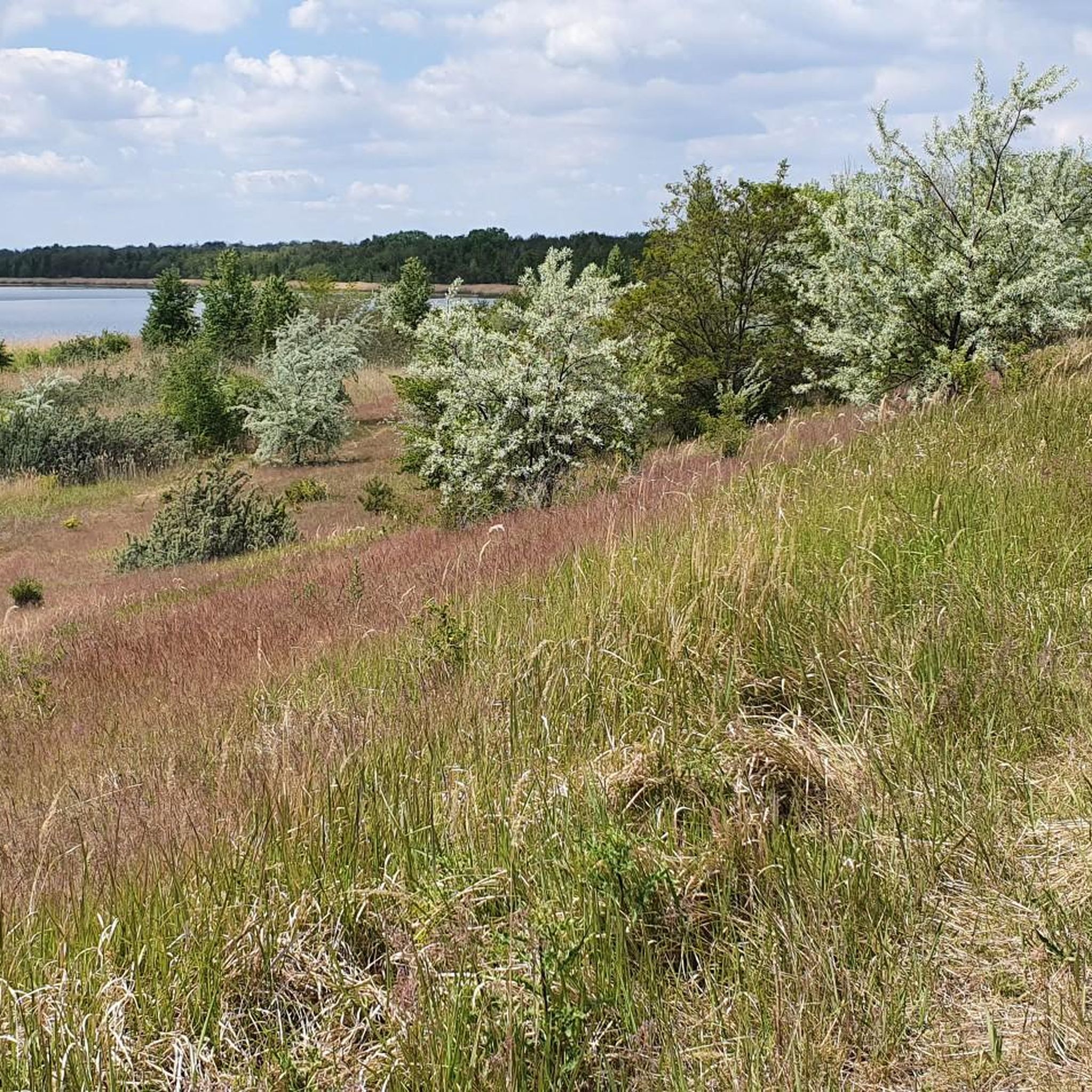
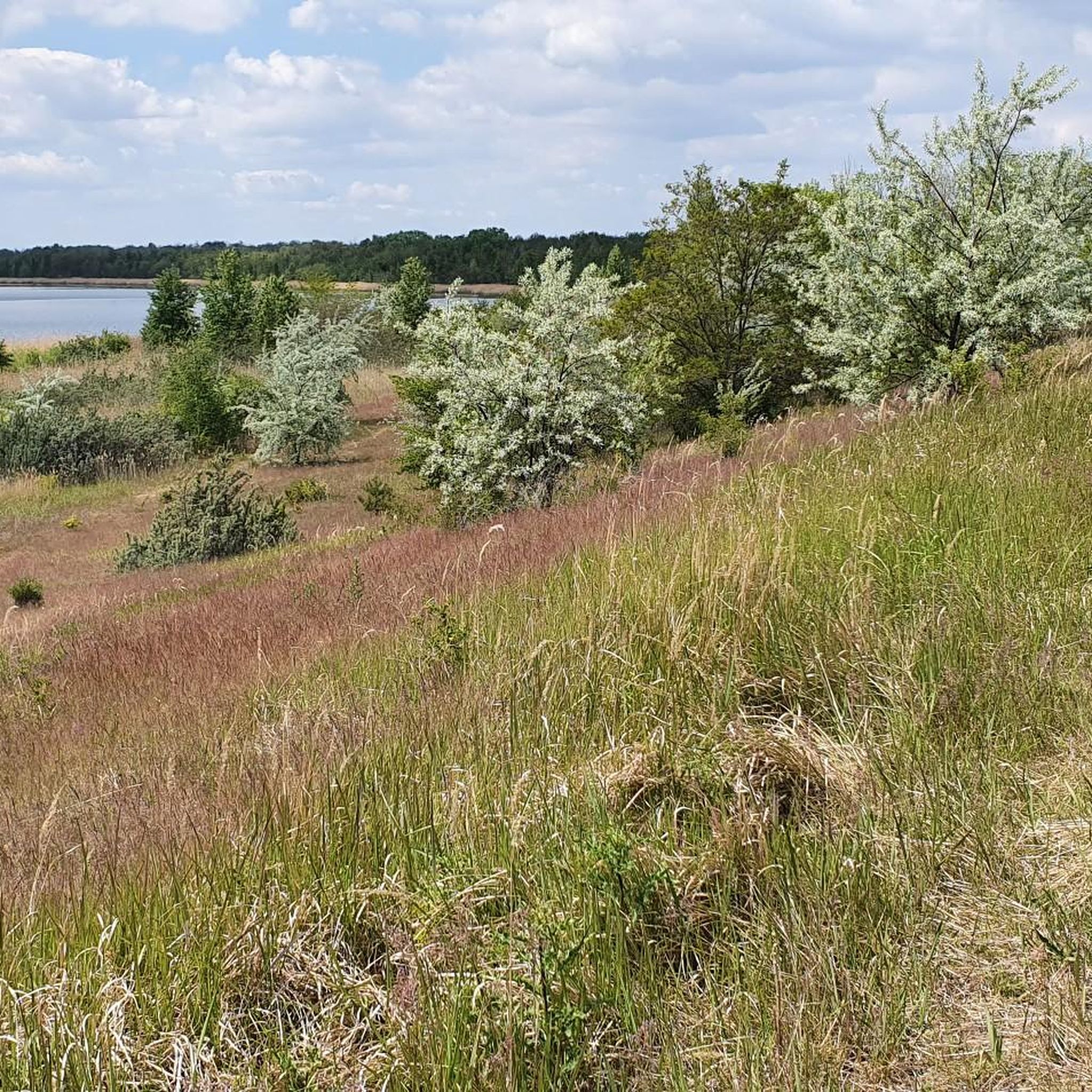
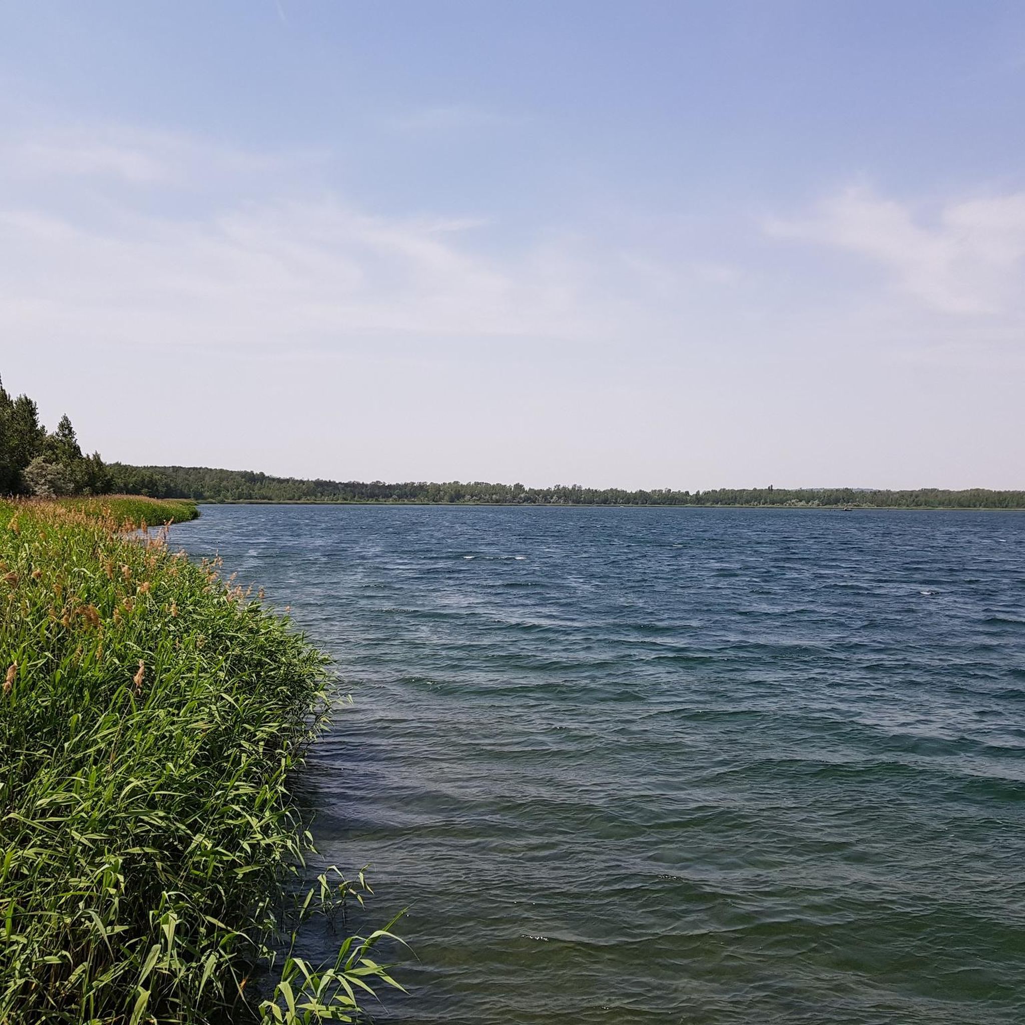
Hiking around Runstädter Lake features a landscape shaped by several interconnected bodies of water, including Runstädter Lake itself, Geiseltalsee, and Südfeldsee. The Runstädter Lake hiking terrain primarily consists of gentle paths circling these lakes, with minimal elevation changes. These routes offer views across the water and through surrounding open areas. The region provides a network of trails suitable for various hiking abilities, making for easy hikes around Runstädter Lake.
Best hiking trails around Runstädter Lake
- The most popular hiking route…
Last updated: July 12, 2026
4.8
(229)
690
hikers
28.3km
07:22
200m
200m
Hard hike. Very good fitness required. Easily-accessible paths. Suitable for all skill levels.
4.5
(119)
377
hikers
Easy hike. Great for any fitness level. Easily-accessible paths. Suitable for all skill levels.

Sign up for free
4.6
(113)
373
hikers
6.70km
01:43
20m
20m
Easy hike. Great for any fitness level. Easily-accessible paths. Suitable for all skill levels.
4.8
(13)
34
hikers
Easy hike. Great for any fitness level. Easily-accessible paths. Suitable for all skill levels.
4.4
(5)
21
hikers
25.8km
06:36
90m
90m
Hard hike. Very good fitness required. Easily-accessible paths. Suitable for all skill levels.
Get access to more routes and recommendations from other explorers.
Sign up for free
Already have an account?
Our route recommendations are based on thousands of hikes, rides, and runs completed by other people on komoot.
Start today with a free account
Your next adventure awaits.
Login or Signup
Tips from the Community

actually worth a photo for me too
0
0


A really nice place for a trip, especially for children but also without. Lots of animals to watch and all for zero euros.
0
0

great view over the lake
0
0

Mücheln on the Geiseltalsee, a beautiful marina! The promenade invites you to take a break and go for a short walk. You feel welcome here! 🥰👌
2
0
Always worth a nice trip and rest. 👌
1
0

The Geiseltalsee is a mining lake in southern Saxony-Anhalt. The lake was created as part of recultivation measures in the former Geiseltal brown coal mining area northeast of Mücheln. At almost 19 square kilometers, it is the largest artificial lake in Germany, is one of the ten lakes with the most water in Germany and is the largest body of water in the Central German Lake District. Together with other lakes to the southeast (Runstedter See, Südfeldsee and the much smaller Hassesee near Roßbach), it forms the Geiseltal lake complex. Source: Wikipedia
3
0

Rest area with a beautiful lake view and a small parking lot.
5
0
Frequently Asked Questions
How many hiking trails are available around Runstädter Lake?
There are over 450 hiking routes available around Runstädter Lake, offering a wide variety of options for different skill levels and preferences. This includes more than 320 easy routes, 120 moderate routes, and 10 difficult trails.
What is the typical terrain like for hiking around Runstädter Lake?
The terrain around Runstädter Lake primarily features gentle paths circling the interconnected bodies of water, including Runstädter Lake, Geiseltalsee, and Südfeldsee. The routes generally have minimal elevation changes, offering open views across the water and surrounding landscapes.
Are there easy hiking options suitable for beginners or casual walkers?
Yes, a significant portion of the trails around Runstädter Lake are considered easy. For example, the View of Runstedter Lake – Runstedter See loop from Großkayna is an easy 4.2-mile (6.7 km) path that offers direct views of Runstädter Lake with minimal elevation gain, perfect for a relaxed stroll.
Are there more challenging hikes for experienced hikers?
For experienced hikers seeking a challenge, there are several difficult routes available. One notable option is the Pauline Lookout Tower – Lakeside promenade at Geiseltalsee loop from Frankleben, a 17.5-mile (28.2 km) trail that includes a lookout tower and extensive lakeside sections, typically taking over 7 hours to complete.
Are there any circular hiking routes around Runstädter Lake?
Many of the trails around Runstädter Lake are designed as circular routes, allowing you to start and end at the same point. An example is the Boat Dock at Geiseltalsee – View of Südfeldsee loop from Frankleben, a 3.3-mile (5.4 km) loop that leads through scenic lakeside areas.
What can I see along the hiking trails around Runstädter Lake?
Hikers can enjoy views of several interconnected bodies of water, including Runstedter See, Geiseltalsee, and Südfeldsee. There are also specific viewpoints like the View of Runstädter See, and recreational spots such as the Beach and Boat Ramp at Runstädter See.
Are the hiking trails around Runstädter Lake suitable for families with children?
Yes, the region offers many easy trails with minimal elevation, making them suitable for families. The gentle lakeside paths provide a pleasant environment for children to explore. Consider shorter, easy loops like the View of Runstedter Lake – Runstedter See loop from Großkayna for a family-friendly outing.
Can I bring my dog on the trails around Runstädter Lake?
While many outdoor areas welcome dogs, it's always best to check local regulations for specific trails or protected areas around Runstädter Lake. Generally, dogs are permitted on trails if kept on a leash, and owners are expected to clean up after their pets. Always ensure your dog is comfortable with the distance and terrain.
Is there parking available near the hiking trails at Runstädter Lake?
Based on common access points for trails in the area, it is likely that parking facilities are available near popular trailheads and access points around Runstädter Lake, such as those in Frankleben or Großkayna. However, specific parking details can vary by starting point, so it's advisable to check the route details on komoot for the specific trail you plan to hike.
What do other hikers enjoy the most about hiking in Runstädter Lake?
The area is highly rated by the komoot community, with an average score of 4.6 stars from more than 2,400 reviews. Hikers often praise the scenic lakeside paths, the open landscapes, and the variety of routes suitable for different abilities. The views across the multiple bodies of water are frequently highlighted as a favorite aspect.
Are there any other lakes or water features to explore besides Runstädter Lake?
Yes, the hiking area around Runstädter Lake is characterized by several interconnected bodies of water. In addition to Runstädter Lake itself, you can explore trails around Geiseltalsee and Südfeldsee, which offer similar lakeside views and gentle terrain. Many routes, such as the Boat Dock at Geiseltalsee – View of Südfeldsee loop from Großkayna, provide access to these other water features.
What is the best time of year to go hiking around Runstädter Lake?
While specific seasonal guidance isn't provided, lake regions like Runstädter Lake are generally pleasant for hiking during spring, summer, and early autumn. These seasons typically offer mild weather and lush scenery. Always check local weather conditions before heading out, especially during transitional seasons.
Most popular routes around Runstädter Lake
Most popular attractions around Runstädter Lake

Get inspired with the komoot mobile app


Explore more
Browse the best Hikes in other regions.
