The best cycling routes around Dam Kiliansteich
4.4
(503)
1,413
riders
118
rides
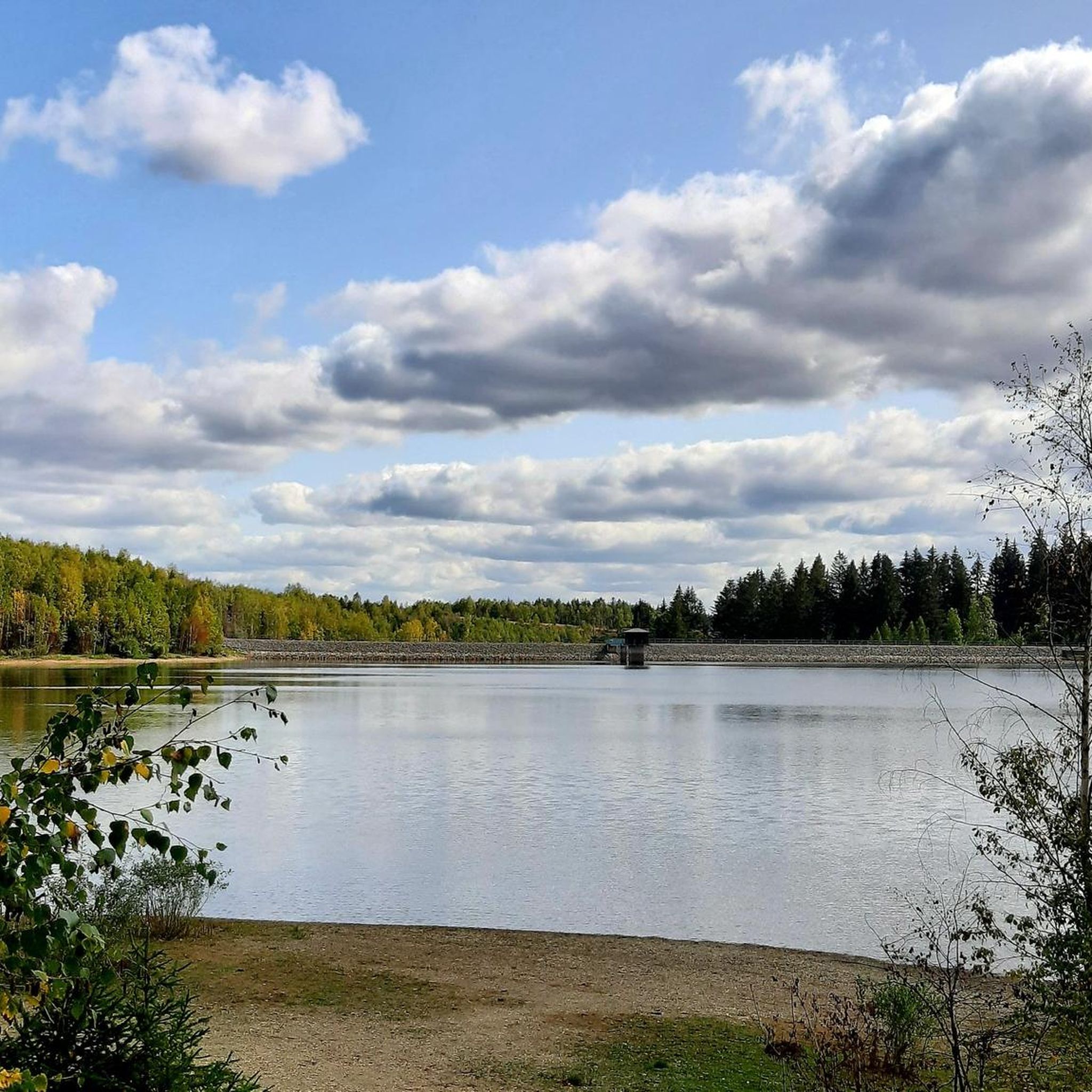
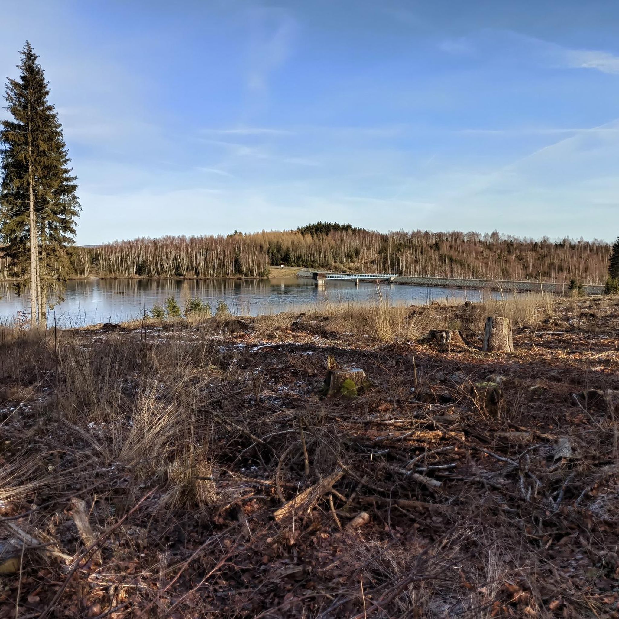
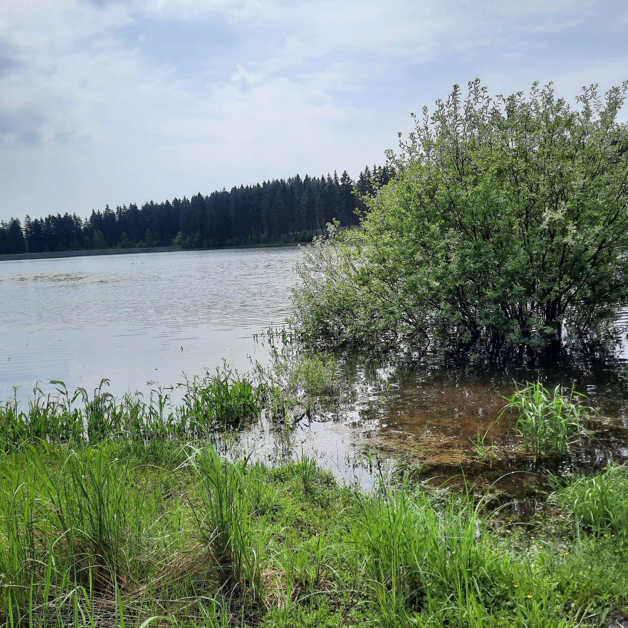
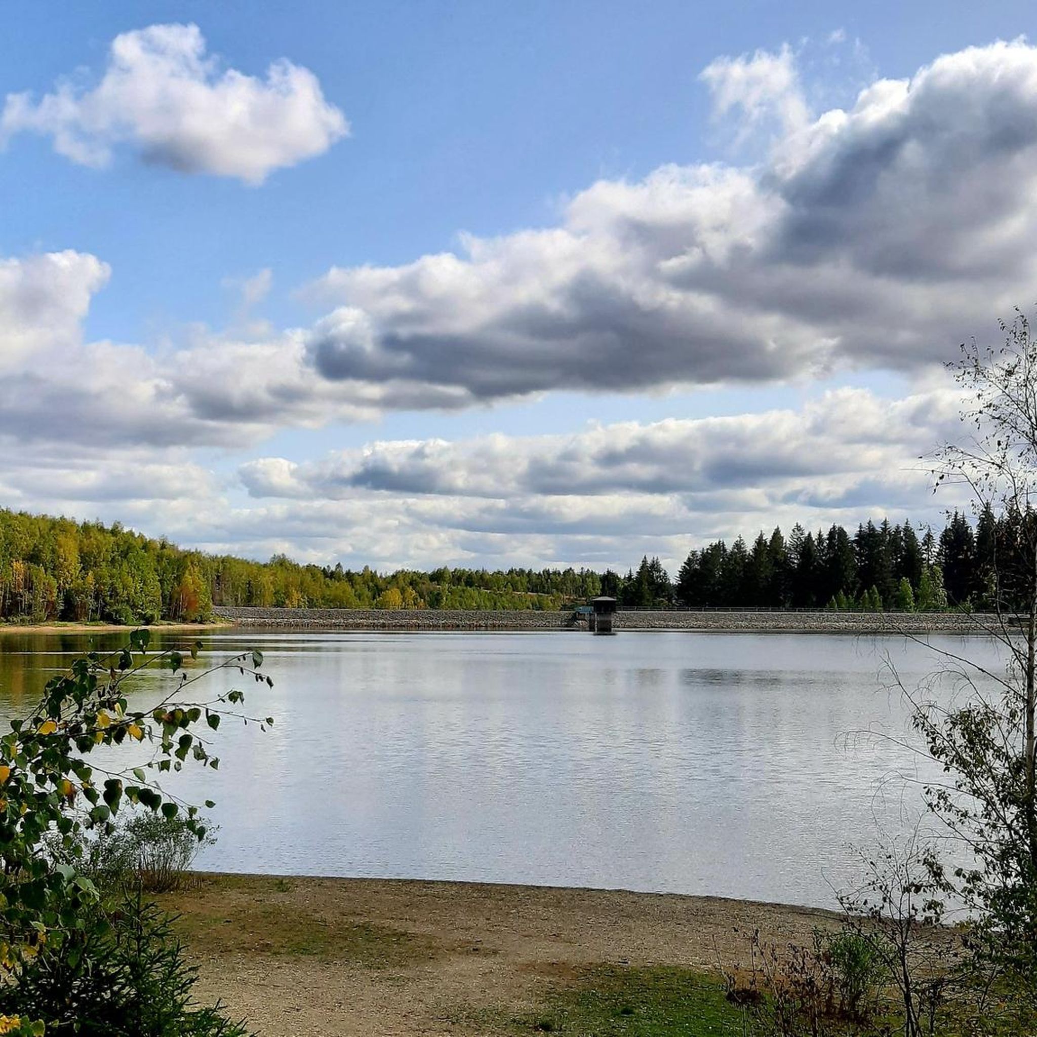
Touring cycling routes around Dam Kiliansteich are set within the Harz region, characterized by its mid-mountain range and diverse natural features. The area features the Kiliansteich Lake, a tranquil water body that serves as a focal point for many routes. Cyclists will encounter varied terrain, including dense woodlands, rolling hills, and the scenic landscapes typical of the Harz National Park vicinity. The presence of other reservoirs and dams in the wider region also contributes to the picturesque environment for cycling.
Best touring cycling routes around Dam Kiliansteich
- The most popular touring cycling route is Selkefall Waterfall – Bremer Teich loop from Straßberg, a 37.9 miles (61.1 km) trail that takes 4 hours 4 minutes to complete. This difficult route features varied terrain through the Harz landscape.
- Another top favourite among local touring cyclists is Iberg Reservoir (Iberg Dam) – Stolberg Market Square loop from Großer Auerberg, a difficult 28.8 miles (46.4 km) path. This route offers views of the Iberg Reservoir and passes through historic Stolberg.
- Local touring cyclists also love the Stolberg Market Square – Josephskreuz loop from Großer Auerberg, a 5.9 miles (9.4 km) trail leading through historic Stolberg and towards the Josephskreuz viewpoint, often completed in about 47 minutes.
- Touring cycling around Dam Kiliansteich is defined by tranquil lake environments, mid-mountain terrain, and dense woodlands. The network offers options for different ability levels, from easy paths to more challenging ascents.
- The routes in Dam Kiliansteich are highly rated by the komoot community with an average score of 4.4 stars from over 400 reviews. More than 1,300 touring cyclists have used komoot to explore Dam Kiliansteich's varied terrain.
Last updated: July 10, 2026
4.8
(58)
199
riders
61.2km
03:58
690m
690m
Hard bike ride. Very good fitness required. Mostly paved surfaces. Suitable for all skill levels.
4.7
(14)
49
riders
Hard bike ride. Very good fitness required. Mostly paved surfaces. Suitable for all skill levels.

Sign up for free
4.7
(6)
28
riders
8.46km
00:42
240m
230m
Moderate bike ride. Good fitness required. Mostly paved surfaces. Suitable for all skill levels.
4.7
(3)
14
riders
27.8km
02:01
350m
350m
Moderate bike ride. Good fitness required. Mostly paved surfaces. Suitable for all skill levels.
5.0
(4)
16
riders
Easy bike ride. Great for any fitness level. Mostly paved surfaces. Suitable for all skill levels.
Get access to more routes and recommendations from other explorers.
Sign up for free
Already have an account?
Our route recommendations are based on thousands of hikes, rides, and runs completed by other people on komoot.
Start today with a free account
Your next adventure awaits.
Login or Signup
Tips from the Community

Good cycle path. Little car traffic on the road.
0
0

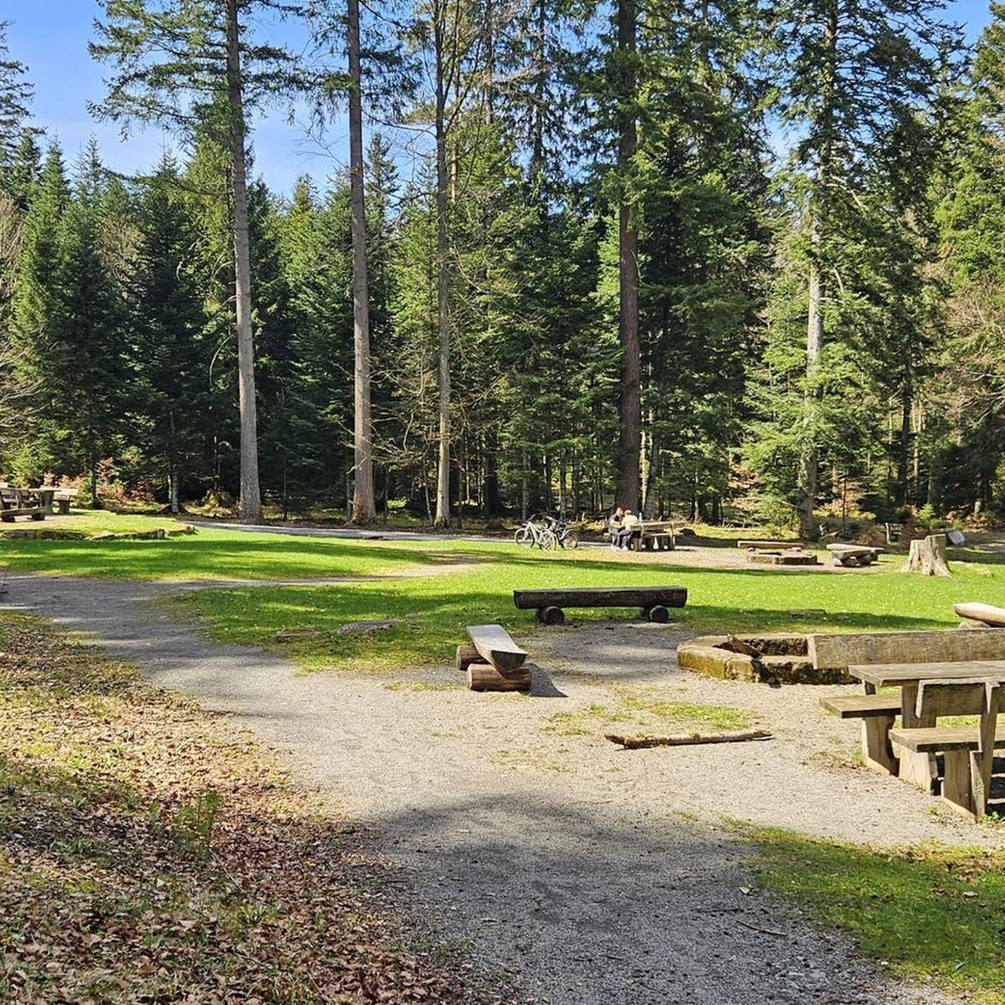
In spring it is teeming with frogs, a break is fun, just no seating by the lake, a pity as the lake has Scandinavian flair.
3
0

A really great thing, especially for the little ones.
0
0
A great structure, similar to the Eiffel Tower but not as tall.
0
0
Here it continues to the great Josephskreuz. The climb is worth it!
0
0

Until the first half of the 20th century, the pond was called Silberteich (Silver Pond) due to its clean water. It served as a reservoir for the former Alte Grube (Old Mine) on the Hohen Warte hill. Until 1962, the pond was used as a drinking water reservoir for Gernrode. Since then, the town has received its drinking water from the Rappbode Dam. After heavy rain in 1976, the pond's dam broke, and the water flowed as far as Gernrode, 3.5 km away. Following this disaster, the dam was reinforced and equipped with an overflow system. The pond reaches its greatest depth of 12 m at the dam. Source: Wikipedia
6
1

A very pretty photo opportunity.
1
0

All traffic from Stolberg has to go through here, it is very narrow
2
0
Frequently Asked Questions
What are the different difficulty levels for touring cycling routes around Dam Kiliansteich?
The touring cycling routes around Dam Kiliansteich offer a range of difficulty levels. You'll find options from easy paths, such as the Selketal Charcoal Burner's Hut – Elbingstal Pond loop from Straßberg, to more challenging ascents. Overall, there are 24 easy, 55 moderate, and 44 difficult routes available, catering to various fitness levels.
Are there family-friendly touring cycling routes near Dam Kiliansteich?
Yes, the region offers routes suitable for families. While specific 'family-friendly' routes aren't explicitly tagged, the presence of easy-rated tours, like the Selketal Charcoal Burner's Hut – Elbingstal Pond loop from Straßberg, suggests options for a more relaxed pace. These often feature gentler terrain and shorter distances, ideal for cycling with children.
What landmarks or viewpoints can I discover along the touring cycling routes?
Many touring cycling routes around Dam Kiliansteich offer opportunities to see notable landmarks and scenic viewpoints. For instance, the Iberg Reservoir (Iberg Dam) – Stolberg Market Square loop from Großer Auerberg provides views of the Iberg Reservoir and passes through the historic Stolberg Market Square. Another route, the Stolberg Market Square – Josephskreuz loop from Großer Auerberg, leads towards the impressive Josephskreuz viewpoint. The region's historic towns and castles, like Stolberg Castle, are often visible along the paths.
Are there circular touring cycling routes available around Dam Kiliansteich?
Yes, many of the touring cycling routes around Dam Kiliansteich are designed as loops, allowing you to start and end at the same point. Examples include the Selkefall Waterfall – Bremer Teich loop from Straßberg, the Iberg Reservoir (Iberg Dam) – Stolberg Market Square loop from Großer Auerberg, and the Kilian Pond – Maliniusteich loop from Großer Auerberg.
What kind of natural landscapes will I encounter while touring cycling around Dam Kiliansteich?
Touring cycling around Dam Kiliansteich immerses you in the diverse natural beauty of the Harz region. You'll experience tranquil lake environments, such as Kiliansteich Lake itself, dense woodlands, and rolling hills characteristic of a mid-mountain range. The area is also close to the Harz National Park, offering picturesque views and a blend of forest and water features, including other reservoirs and dams.
How long do touring cycling routes around Dam Kiliansteich typically take?
The duration of touring cycling routes around Dam Kiliansteich varies significantly depending on the distance and difficulty. Shorter, moderate routes like the Stolberg Market Square – Josephskreuz loop from Großer Auerberg can be completed in under an hour (approx. 47 minutes). Longer, more difficult routes, such as the Selkefall Waterfall – Bremer Teich loop from Straßberg, might take around 4 hours.
What is the best time of year to go touring cycling around Dam Kiliansteich?
The Harz region, including Dam Kiliansteich, is generally excellent for cycling from spring through autumn. These seasons offer pleasant temperatures and vibrant natural scenery. While winter cycling is possible, be prepared for colder conditions and potential snow or ice, especially at higher elevations, which can affect trail accessibility and safety.
What do other touring cyclists enjoy the most about touring cycling in Dam Kiliansteich?
The touring cycling experience around Dam Kiliansteich is highly regarded by the komoot community, with an average score of 4.4 stars from over 400 reviews. Cyclists often praise the varied terrain, the tranquil lake environments, and the scenic beauty of the mid-mountain landscape and dense woodlands. The blend of natural features and cultural sights, like those found near Stolberg, also contributes to its popularity.
Are there any waterfalls along the touring cycling routes?
Yes, you can encounter waterfalls on some routes. For example, the popular Selkefall Waterfall – Bremer Teich loop from Straßberg specifically highlights the Selkefall Waterfall, offering a beautiful natural attraction along your ride through the Harz landscape.
Can I bring my dog on touring cycling routes around Dam Kiliansteich?
While specific regulations for dogs on cycling routes aren't detailed in the provided data, the Harz region is generally dog-friendly for outdoor activities. It's always recommended to keep dogs on a leash, especially in nature reserves or near wildlife, and to check local signage for any specific restrictions on individual trails or within the Harz National Park vicinity.
Where can I find parking for touring cycling routes near Dam Kiliansteich?
While explicit parking locations aren't listed, popular cycling areas like Dam Kiliansteich and the surrounding Harz region typically have designated parking areas near trailheads or key attractions. Look for parking facilities in nearby towns such as Straßberg or around major points of interest like the Kiliansteich Lake itself, or other reservoirs and dams in the area.
Is Dam Kiliansteich accessible by public transport for cyclists?
The Harz region has some public transport options, including bus services that connect various towns and attractions. While direct public transport access to every trailhead around Dam Kiliansteich might vary, it's advisable to check local bus schedules and routes from larger towns in the Harz to see if they accommodate bicycles or provide convenient access points to the cycling network.
Most popular routes around Dam Kiliansteich

Get inspired with the komoot mobile app


Explore more
Browse the best Cycling routes in other regions.
