The best running trails around Postweiher
4.5
(251)
1,750
runners
179
runs
Jogging around Postweiher offers a diverse landscape characterized by numerous ponds and lakes, surrounded by extensive forests and open natural areas. The region provides a mix of flat paths ideal for easy runs and gently undulating terrain for more varied workouts. These natural features create a scenic backdrop for runners seeking both tranquil and moderately challenging routes.
Best jogging routes around Postweiher
- The most popular jogging route is Steinen Forest Playground – Adventure Playground Steinen loop from Freilingen, a…
Last updated: October 8, 2026
4.8
(18)
106
runners
Moderate run. Good fitness required. Mostly paved surfaces. Suitable for all skill levels.
7
runners
6.52km
00:41
40m
40m
Moderate run. Good fitness required. Mostly paved surfaces. Suitable for all skill levels.

5.0
(1)
12
runners
Easy run. Great for any fitness level. Mostly paved surfaces. Suitable for all skill levels.
4.8
(16)
55
runners
13.3km
01:26
110m
110m
Moderate run. Good fitness required. Mostly paved surfaces. Suitable for all skill levels.
4.7
(14)
108
runners
Moderate run. Good fitness required. Mostly paved surfaces. Suitable for all skill levels.
Get access to more routes and recommendations from other explorers.
Already have an account?
Our route recommendations are based on thousands of hikes, rides, and runs completed by other people on komoot.
Start today with a free account
Your next adventure awaits.
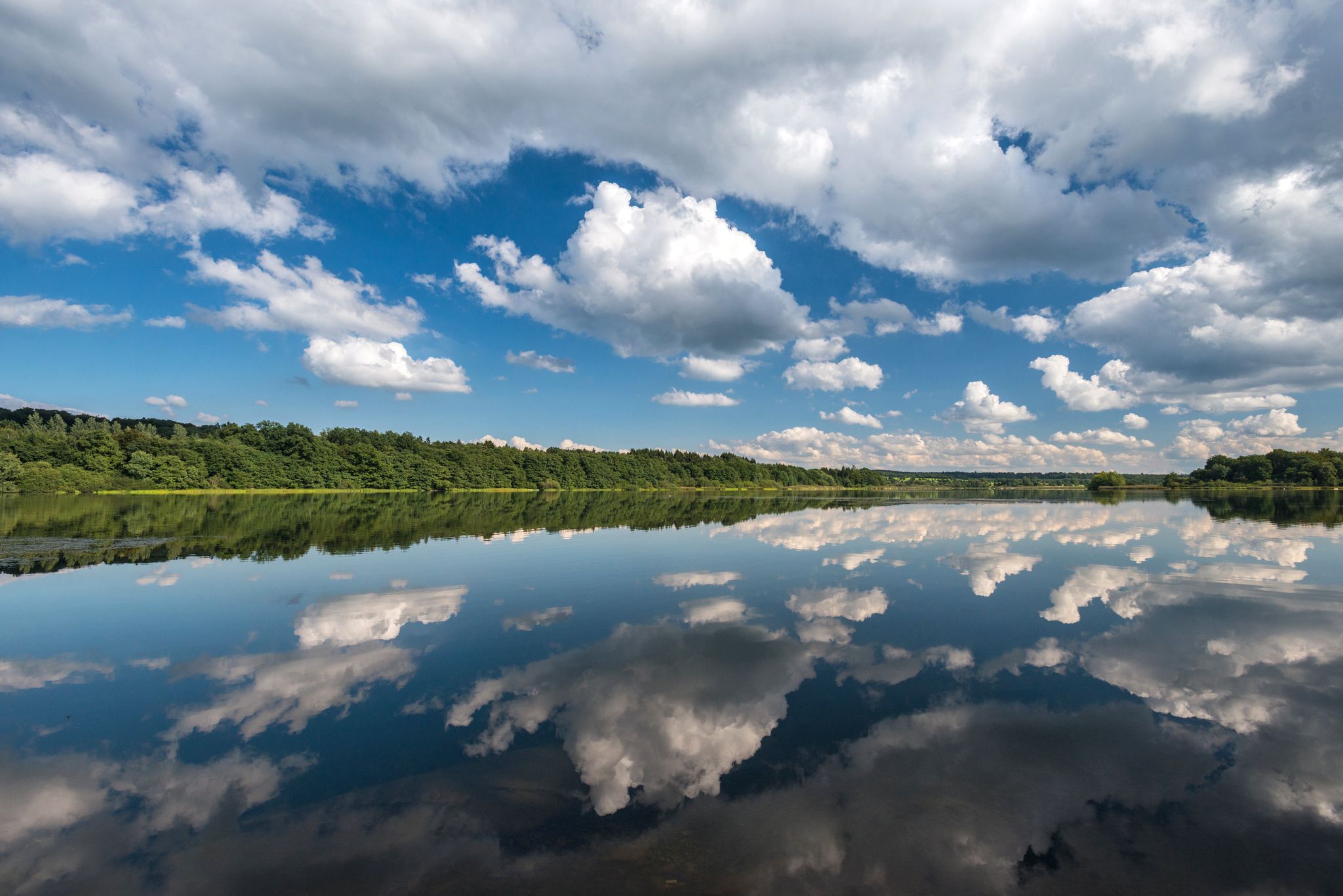
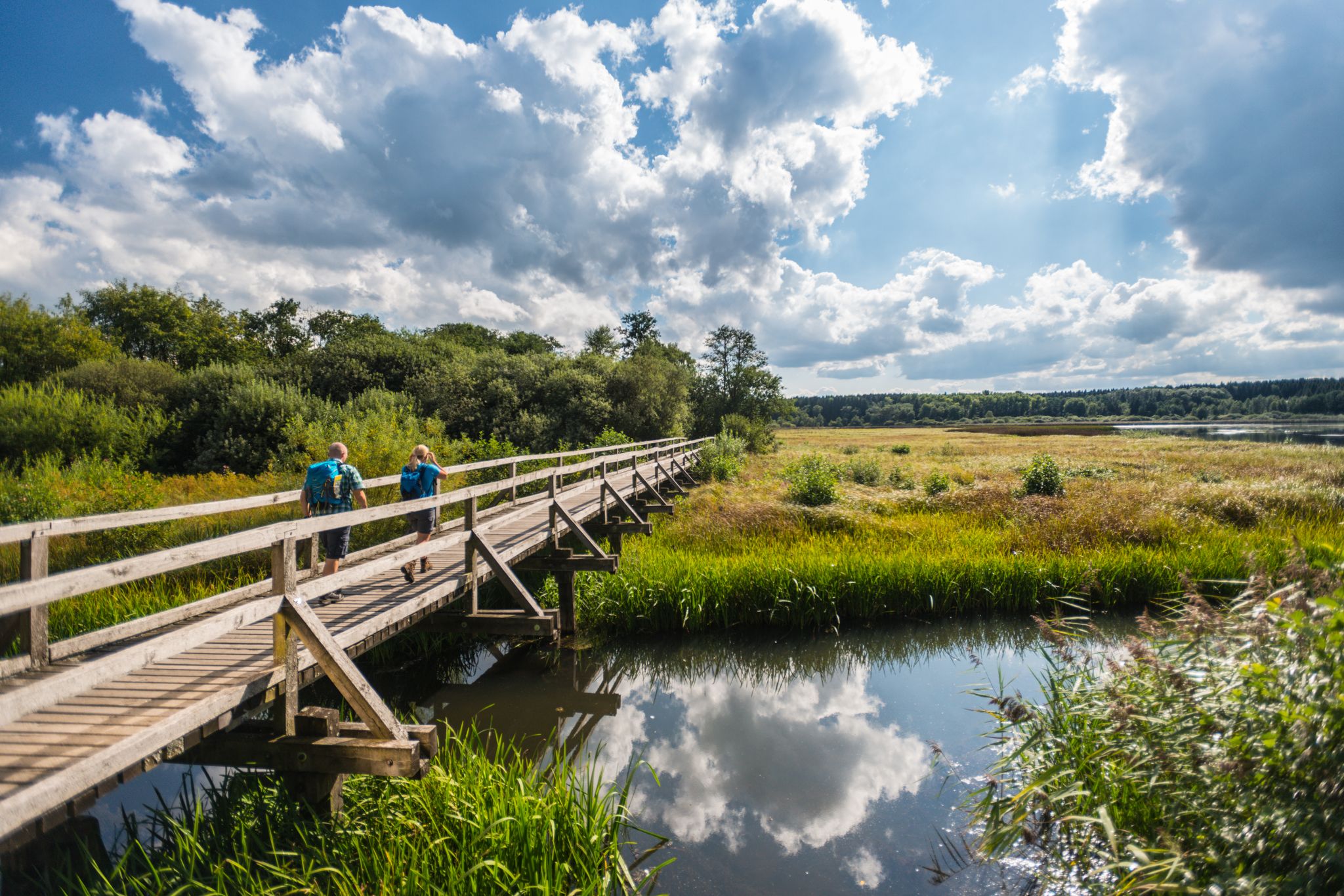
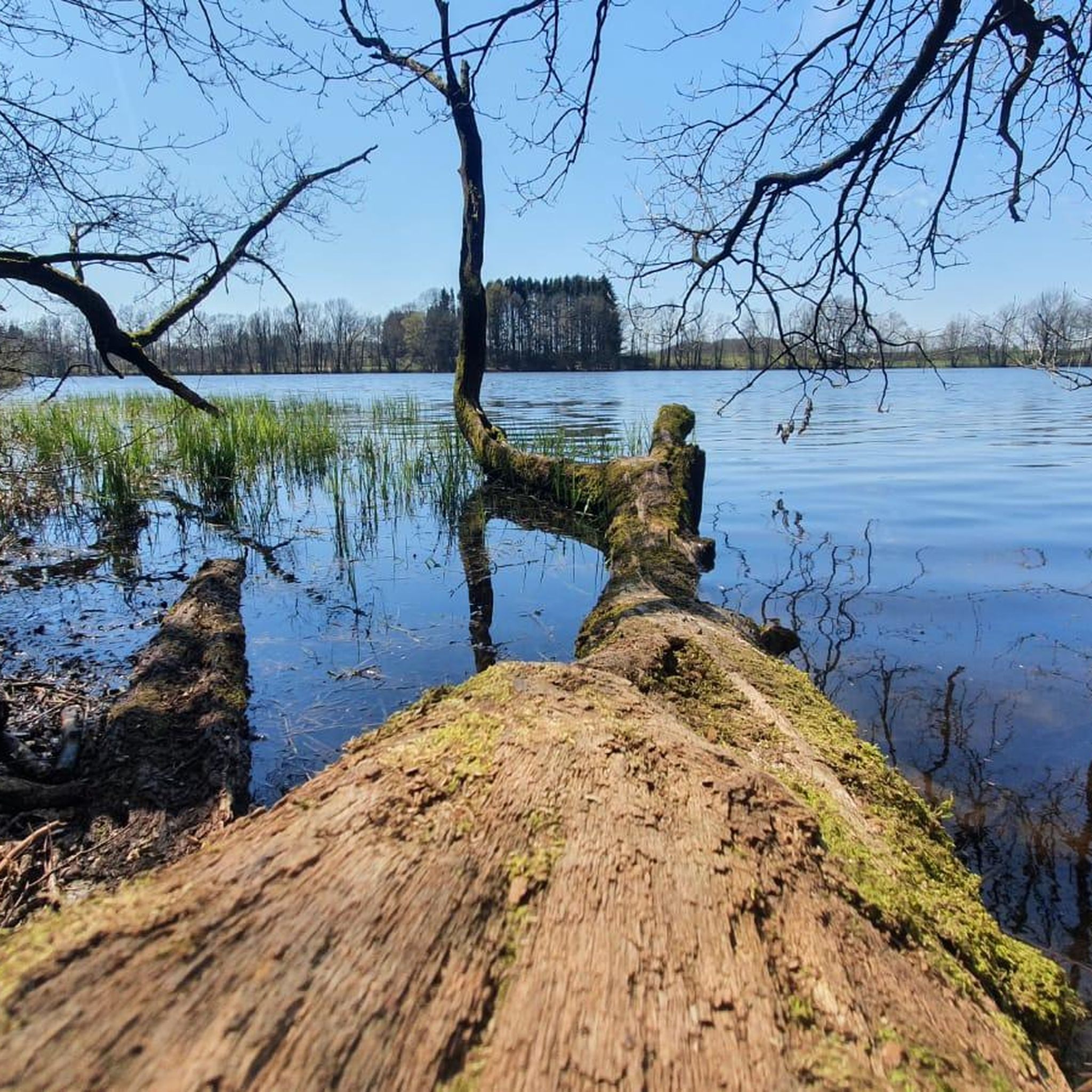
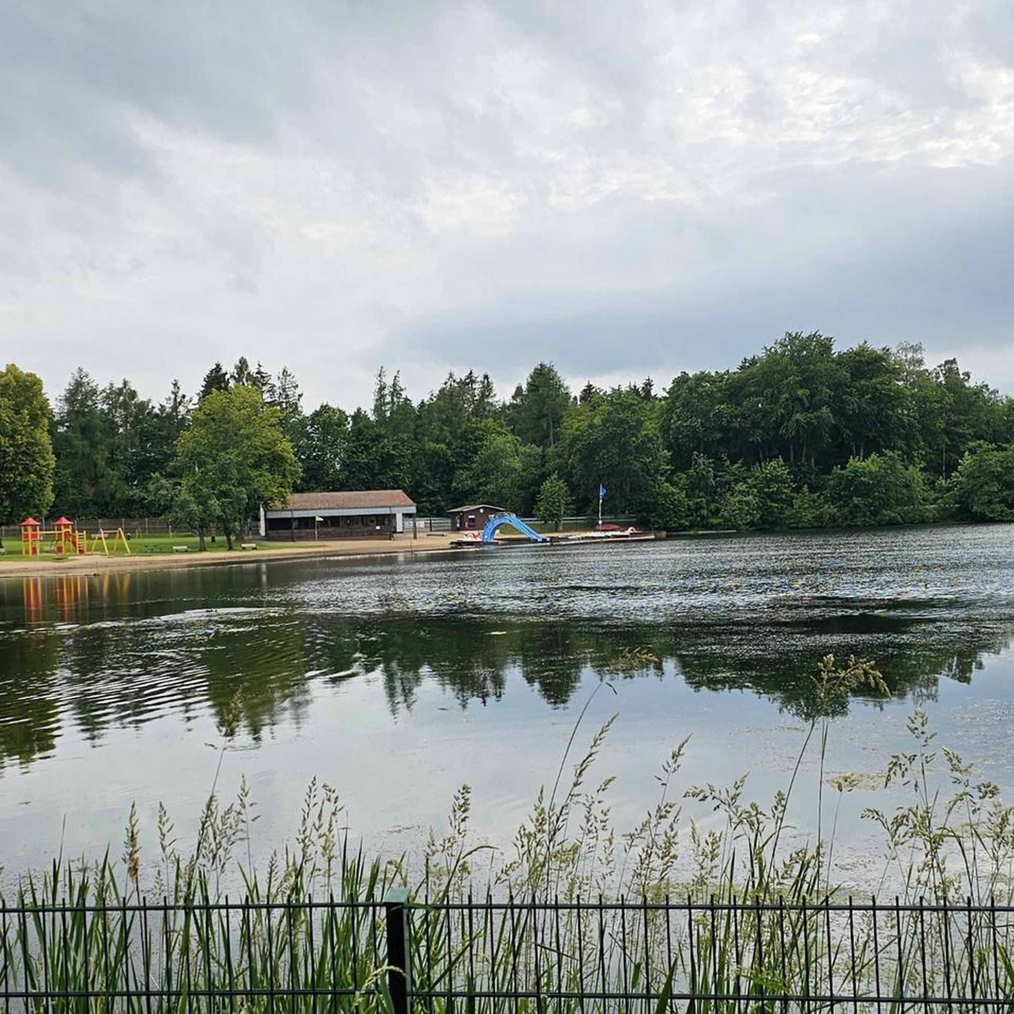


Tips from the Community

Great little "hiking huts" for little money - €17 for 2 nights - blanket + backpack extra Comfortable and firm mattress For short overnight stays - IDEAL 👏🙏‼️
2
0

Although it's a bit away from the pond, it's quiet here, except on Sundays and public holidays, of course.
3
0

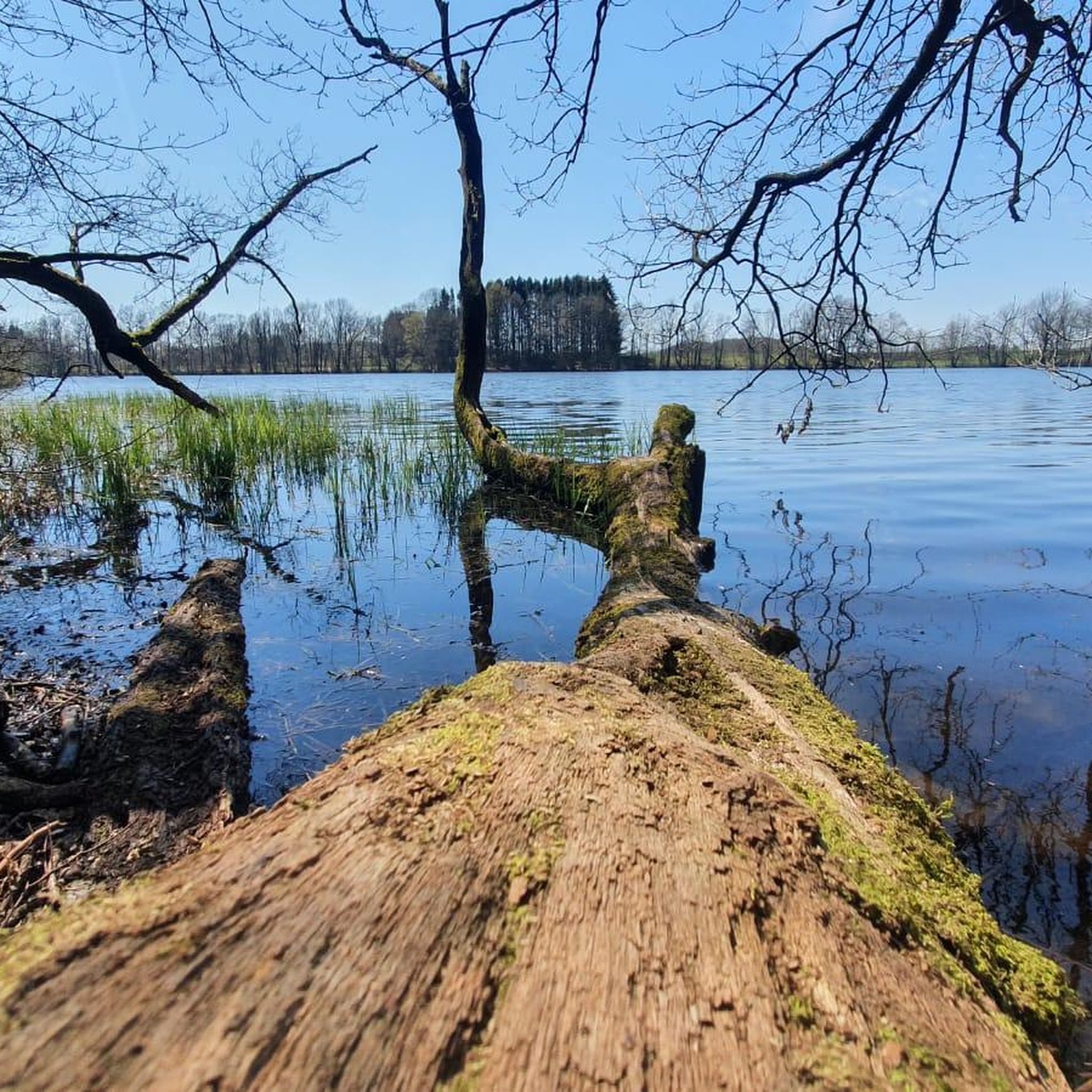
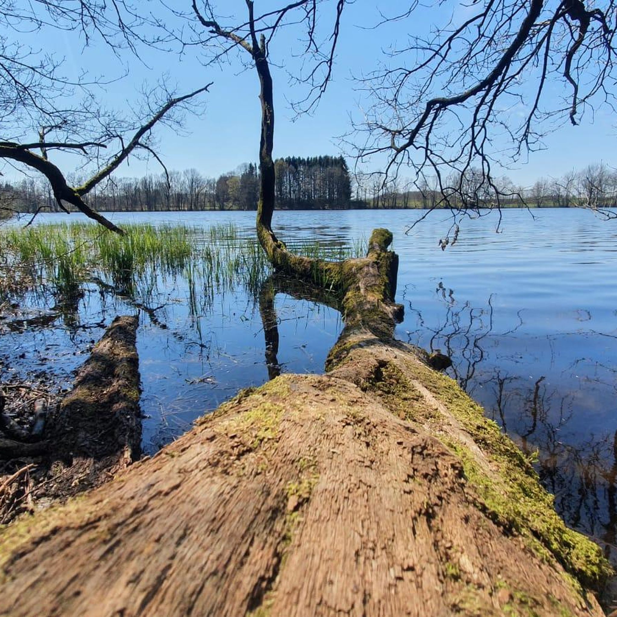
Comfortable lounger with a view of the Dreifelder Weiher.
3
0

The circular route around the pond leads along a rustic hiking path. In damp or rainy weather, this path should only be hiked with appropriate footwear.
2
0

Info
1
0
Very nice.
1
0
Frequently Asked Questions
How many running routes are available around Postweiher?
The Postweiher region offers a wide selection of running routes, with over 150 different trails to explore. This includes a good mix of easy, moderate, and challenging options to suit various fitness levels.
Are there easy or beginner-friendly running paths in Postweiher?
Yes, Postweiher has several easy running paths perfect for beginners or those looking for a relaxed jog. For instance, the Post Pond – View of the Brinkenweiher loop from Freilingen is an easy 3.0-mile (4.9 km) trail that takes you through a scenic landscape dotted with ponds.
Can I find longer or more challenging running trails in the Postweiher area?
Absolutely. While many routes are moderate, there are options for longer and more challenging runs. The Dreifelder Pond – View of the Dreifelder Pond loop from Freilingen is a moderate 8.2-mile (13.3 km) route that offers a more extended workout with varied terrain around the Dreifelder Pond.
Are the running routes around Postweiher suitable for families?
Many of the routes around Postweiher are family-friendly, especially those with flatter terrain and recreational areas. The Steinen Forest Playground – Adventure Playground Steinen loop from Freilingen is a great option, guiding runners through a forested area and connecting two recreational playgrounds, making it enjoyable for all ages.
What kind of views or natural attractions can I expect along the running trails?
The Postweiher region is characterized by its tranquil ponds, dense woodlands, and open natural spaces. Many routes offer beautiful lakeside views, such as those near Postweiher itself, or scenic overlooks like the View of the Brinkenweiher. You'll often find yourself running through peaceful forests and along the shores of various water bodies.
Are there any circular running routes in Postweiher?
Yes, most of the running routes in Postweiher are designed as circular loops, allowing you to start and finish at the same point. An example is the Postweiher Beach – Steinen Forest Playground loop from Freilingen, which offers a varied experience with lakeside views and forest sections.
What do other runners say about the trails in Postweiher?
The running routes in Postweiher are highly rated by the komoot community, with an average score of 4.5 stars from over 190 reviews. Runners frequently praise the diverse landscape, the well-maintained paths, and the peaceful atmosphere of the forests and ponds.
Is it possible to run with dogs on the trails around Postweiher?
Generally, the natural trails around Postweiher are suitable for running with dogs, provided they are kept on a leash and you adhere to local regulations regarding nature protection. The extensive forest paths offer plenty of space for you and your canine companion to enjoy a run together.
Are there any facilities or places to stop near the running routes, like cafes or restrooms?
While specific cafes directly on every route are not guaranteed, the area around Postweiher does offer some facilities. For example, you can find a Minigolf course at Postweiher with beer garden, and a Freilingen mini-golf course with kiosk, which can be convenient stops for refreshments or restrooms after your run.
What is the best time of year to go running in Postweiher?
Postweiher offers beautiful running conditions throughout much of the year. Spring and autumn provide pleasant temperatures and vibrant scenery with blooming flowers or colorful foliage. Summer is also great, especially for shaded forest paths, while winter can offer serene, crisp runs, though some paths might be icy or muddy depending on conditions.
Where can I find parking for the running trails in Postweiher?
Parking is generally available at various access points around the Postweiher area, particularly near popular starting points in villages like Freilingen or Steinen. Many trailheads are accessible by car, and you'll often find designated parking areas close to the larger ponds or recreational facilities.
Are there any less crowded running options if I prefer solitude?
While popular routes can see more activity, the Postweiher region has over 150 trails, meaning you can often find quieter paths, especially on weekdays or by exploring some of the slightly longer or less central loops. Routes that venture deeper into the surrounding forests, such as the Hausweiher near Steinen – View of the Brinkenweiher loop from Steinen, can offer a more secluded running experience.
Most popular routes around Postweiher
Most popular attractions around Postweiher

Get inspired with the komoot mobile app


Explore more
Browse the best Running Trails & Routes in other regions.
