The best running trails around Kapbusch
4.6
(497)
6,017
runners
449
runs
Jogging routes around Kapbusch are centered on the Kapbuschsee, an artificial lake in North Rhine-Westphalia, Germany. The area features a nature reserve with continuous forested areas, surrounded by cultivated agricultural land. The terrain is generally flat, utilizing farm roads and bike paths, making it accessible for various running abilities.
Best jogging routes around Kapbusch
- The most popular jogging route is Teichbach Stream – Kapbuschsee loop from Brachelen, a 5.6 miles (9.0 km) trail that takes about 1 hour to…
Last updated: October 5, 2026
9
runners
8.14km
00:51
10m
10m
Moderate run. Good fitness required. Mostly paved surfaces. Suitable for all skill levels.
5
runners
Moderate run. Good fitness required. Mostly paved surfaces. Suitable for all skill levels.

16
runners
9.36km
00:58
40m
30m
Moderate run. Good fitness required. Mostly paved surfaces. Suitable for all skill levels.
4.0
(1)
14
runners
Moderate run. Good fitness required. Mostly paved surfaces. Suitable for all skill levels.
7
runners
9.14km
00:57
20m
20m
Moderate run. Good fitness required. Mostly paved surfaces. Suitable for all skill levels.
Get access to more routes and recommendations from other explorers.
Already have an account?
Our route recommendations are based on thousands of hikes, rides, and runs completed by other people on komoot.
Start today with a free account
Your next adventure awaits.
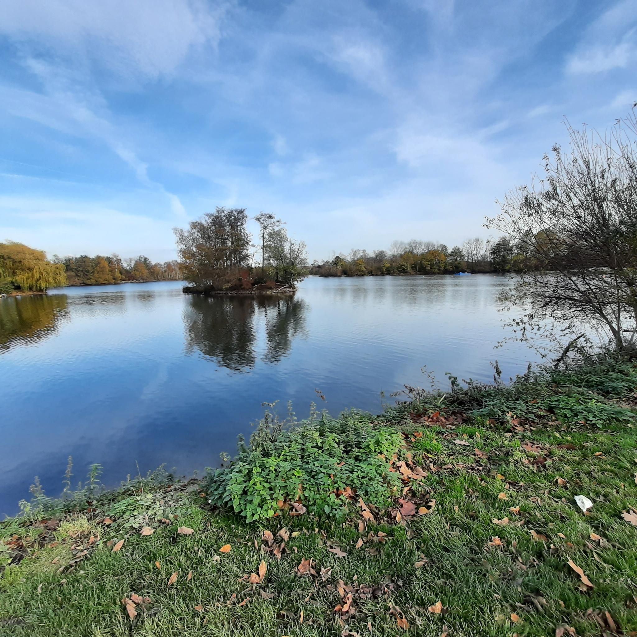
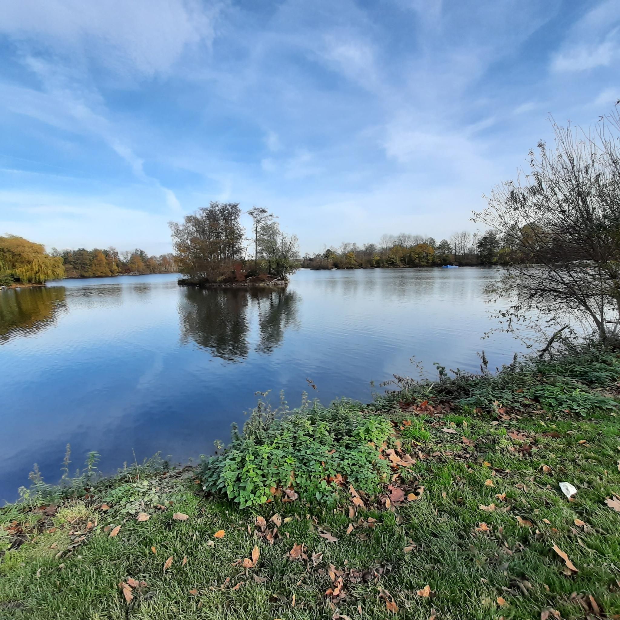
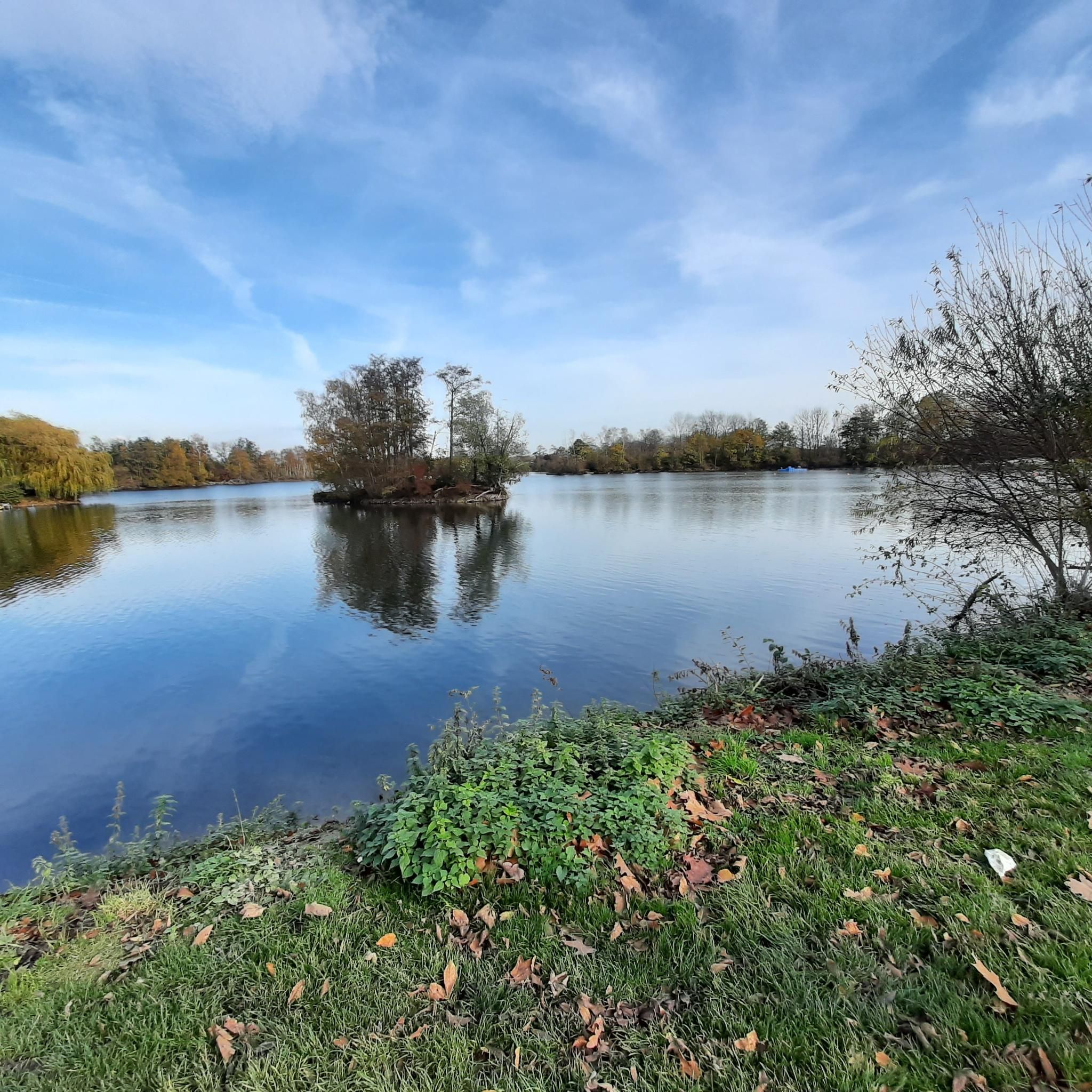
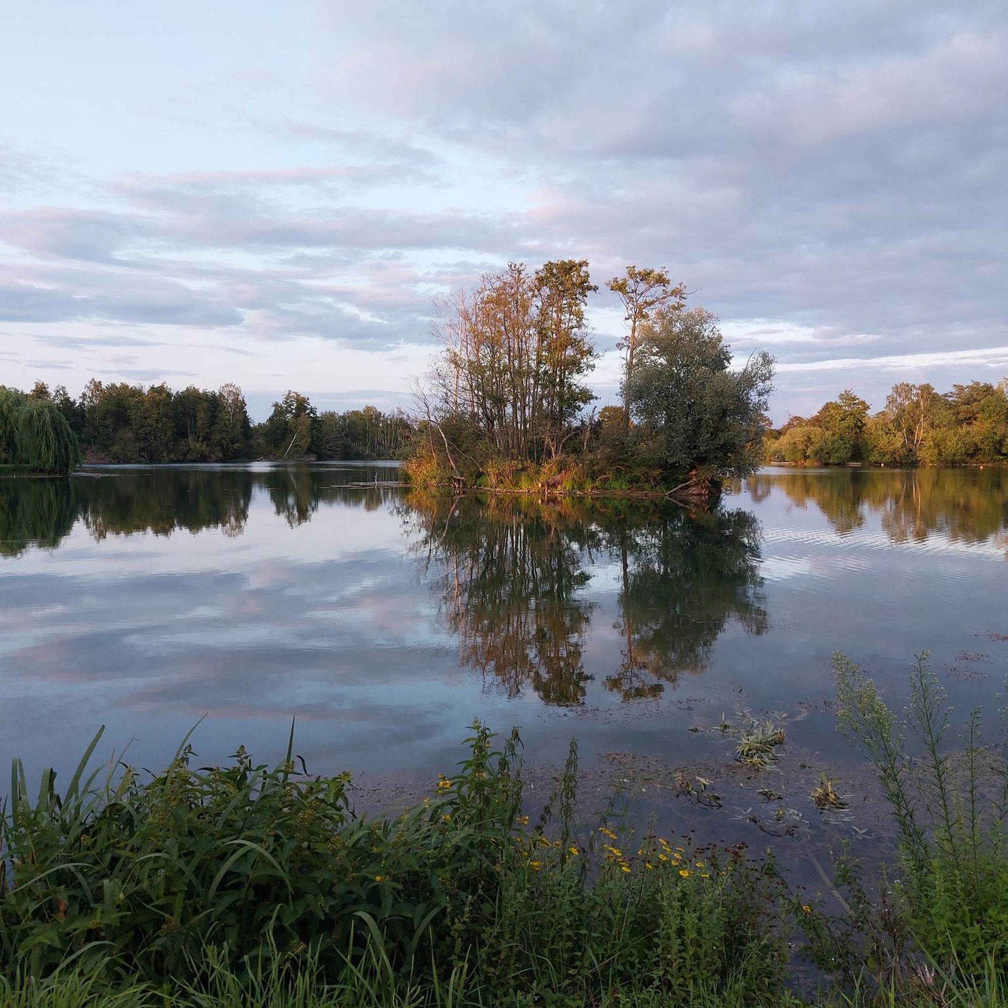

Tips from the Community

Connection Himmerich Brachelen through the forest, partially bad surface
1
0
Beautiful forest path (moderate asphalt surface) between Himmerich and Brachelen
2
0

Absolutely one of my favorite routes. In summer it is very refreshing and cool to ride through the forest.
1
0

This striking bridge crosses the Rur at the NSG Baggersee Grosskünkel.
0
0

The bridge is even more important for hikers and cyclists since the bridge at Körrenzig is closed
5
0
Incredible 30 cycling highlights along the Rur "only" between Hilfarth and Linnich
0
0
Incredible 30 cycling highlights along the Rur "only" between Hilfarth and Linnich
1
0

Stopping here gives you a holiday feeling. I really enjoyed it.
1
1
Frequently Asked Questions
How many running routes are available in the Kapbusch area?
Komoot offers a wide selection of running routes around Kapbusch, with over 420 trails to choose from. This includes options for various fitness levels, from easy jogs to more challenging runs.
What is the general terrain and difficulty of jogging routes in Kapbusch?
The jogging routes in Kapbusch are generally flat, utilizing farm roads and bike paths. This makes them accessible for a wide range of running abilities. While most routes are rated moderate, there are also easier options for beginners and those seeking a relaxed run.
Are there any family-friendly jogging paths in Kapbusch?
Yes, Kapbusch offers several family-friendly options. The flat terrain and well-maintained paths, such as the 2.64 km loop around the Brachelener Baggersee (Kapbuschsee), are suitable for all fitness levels, including families with children. Many routes also pass by attractions like the Naturbad Kapbusch.
Can I bring my dog on the running trails in Kapbusch?
While the guide doesn't specify dog-friendly rules for every trail, the natural setting of Kapbusch, with its forested areas and open fields, generally lends itself to dog walking and running. However, it's always recommended to keep dogs on a leash and check local regulations, especially within the nature reserve sections.
What kind of natural features or landmarks can I expect to see while running in Kapbusch?
Jogging routes in Kapbusch often feature the Kapbuschsee (Lake Kapbusch), a result of sand and gravel extraction, and continuous forested areas. You might also pass by the Naturbad Kapbusch, a large natural open-air swimming pool, and enjoy views along the Teichbach stream. The northern section of the lake is part of a significant nature reserve.
Are there any circular running routes around Kapbuschsee?
Yes, many routes in Kapbusch are circular, allowing you to start and finish at the same point. A notable example is the "Brachelen 10 km Kapbusch See Route," which is a flat, approximately 10.5 km loop. For a shorter option, an easy hike loop around the Brachelener Baggersee (Kapbuschsee) spans 2.64 km.
Where can I park when visiting Kapbusch for a run?
Parking is available at various starting points for the routes. For example, the "Brachelen 10 km Kapbusch See Route" starts and finishes at the sports field parking lot in Brachelen. Other routes may have designated parking areas nearby, especially close to the Kapbuschsee or trailheads.
What is the best time of year to go running in Kapbusch?
Kapbusch is suitable for running year-round due to its accessible terrain. The natural setting with forested areas provides shade in summer, while the well-maintained farm roads and bike paths are generally usable in other seasons. The Naturbad Kapbusch is open from May to late August, making summer a popular time for combining a run with a swim.
Are there any places to eat or relax near the running trails in Kapbusch?
Yes, for those looking to relax and dine, the "Aloa Beach" restaurant is located directly on the water of Kapbuschsee, offering a pleasant spot with lakeside views. During the summer months, the Naturbad Kapbusch also has a snack kiosk available.
What do other runners think about the trails in Kapbusch?
The running routes in Kapbusch are highly regarded by the komoot community, with an impressive average rating of 4.6 stars from over 350 reviews. More than 5,000 runners have used komoot to explore the varied terrain, often praising the scenic views and well-maintained paths.
Can you recommend a moderate running route that offers views of the Kapbuschsee?
Certainly! The Teichbach Stream – View of Kapbuscher See loop from Lindern is a moderate 5.7 miles (9.2 km) trail that leads through forested areas and provides beautiful views of Kapbuschsee. It's a popular choice among local runners.
Is there a longer running route available for more experienced runners?
For those seeking a longer challenge, the Hilfarth Information Point – Teichbach Stream loop from Brachelen is a moderate 9.1 miles (14.7 km) route. It offers an extended experience through the Kapbusch landscape.
How can I access Kapbusch using public transport?
While specific public transport routes are not detailed in the guide, Kapbusch is located in the district of Heinsberg, North Rhine-Westphalia, Germany. It's advisable to check local public transport schedules for connections to Hückelhoven, Hilfarth, or Brachelen, which are districts surrounding the Kapbuschsee.
Most popular routes around Kapbusch

Get inspired with the komoot mobile app


Explore more
Browse the best Running Trails & Routes in other regions.
