The best running trails around Lucherberger Lake
4.4
(635)
7,746
runners
561
runs
Jogging routes near former Lucherberger See accessible paths offer opportunities to explore the landscape in the vicinity of the former Lucherberger Lake. The lake, once a significant feature, was drained between 2021 and 2024 as part of the Inden surface mine expansion, and the former lake area is now industrial property and fenced off. However, the surrounding region still provides varied terrain for running, characterized by open fields, agricultural land, and paths along the Inde River. These routes navigate the…
Last updated: October 7, 2026
10
runners
8.84km
00:55
40m
40m
Moderate run. Good fitness required. Mostly paved surfaces. Suitable for all skill levels.
7
runners
7.10km
00:45
10m
10m
Moderate run. Good fitness required. Mostly paved surfaces. Suitable for all skill levels.

5
runners
4.83km
00:30
10m
10m
Easy run. Great for any fitness level. Mostly paved surfaces. Suitable for all skill levels.
5
runners
6.07km
00:38
30m
30m
Moderate run. Good fitness required. Mostly paved surfaces. Suitable for all skill levels.
3
runners
11.9km
01:15
60m
60m
Moderate run. Good fitness required. Mostly paved surfaces. Suitable for all skill levels.
Get access to more routes and recommendations from other explorers.
Already have an account?
Our route recommendations are based on thousands of hikes, rides, and runs completed by other people on komoot.
Start today with a free account
Your next adventure awaits.

Tips from the Community


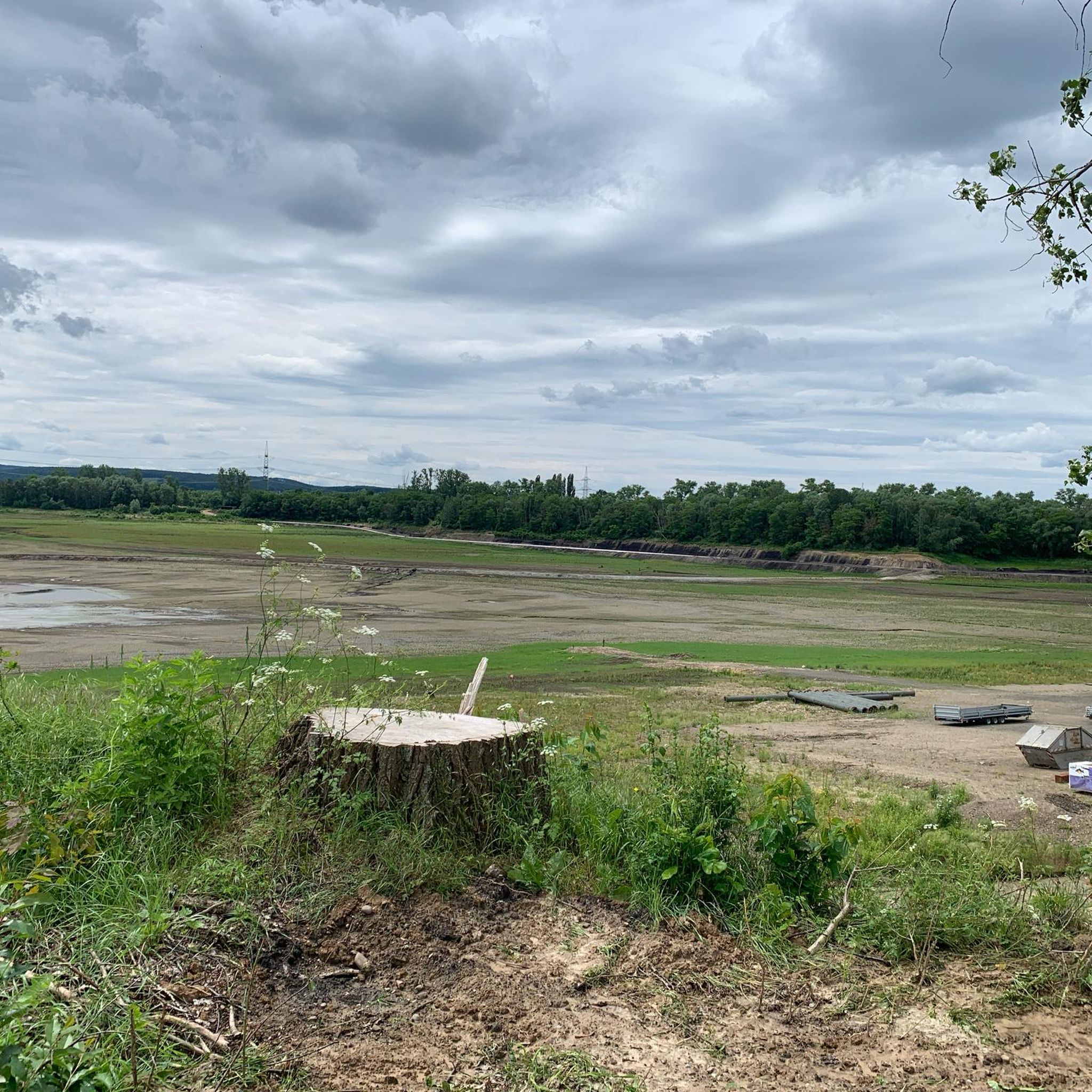
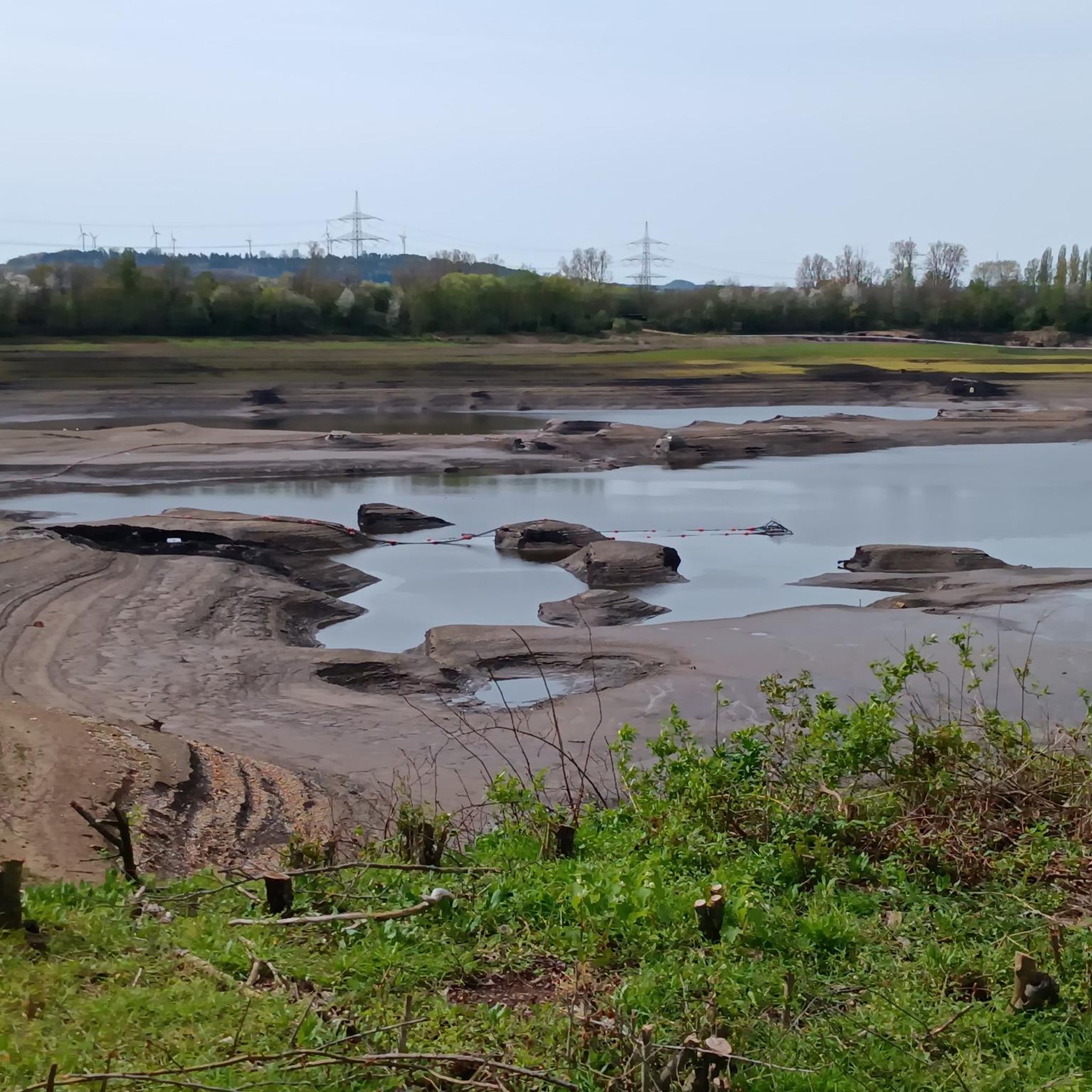
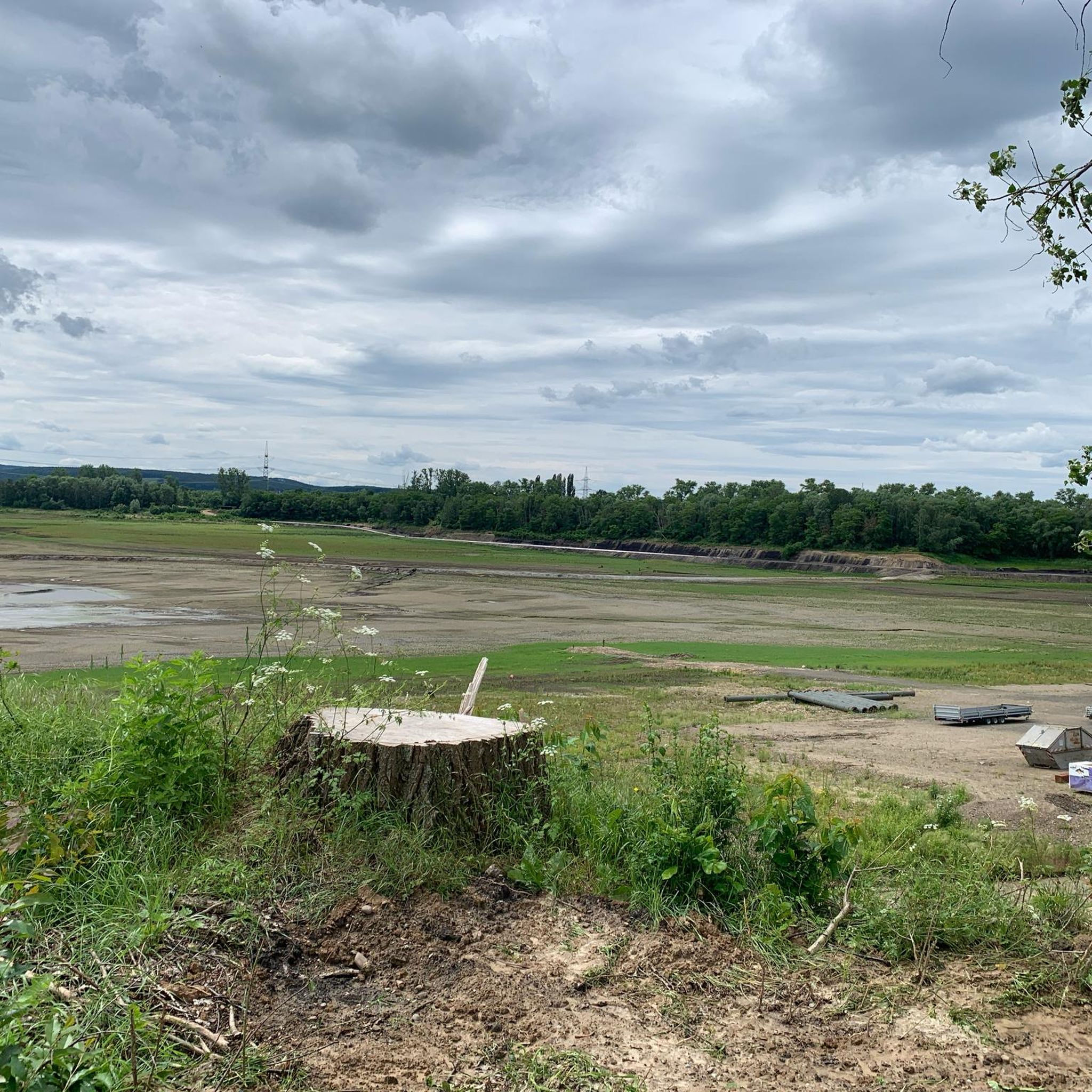
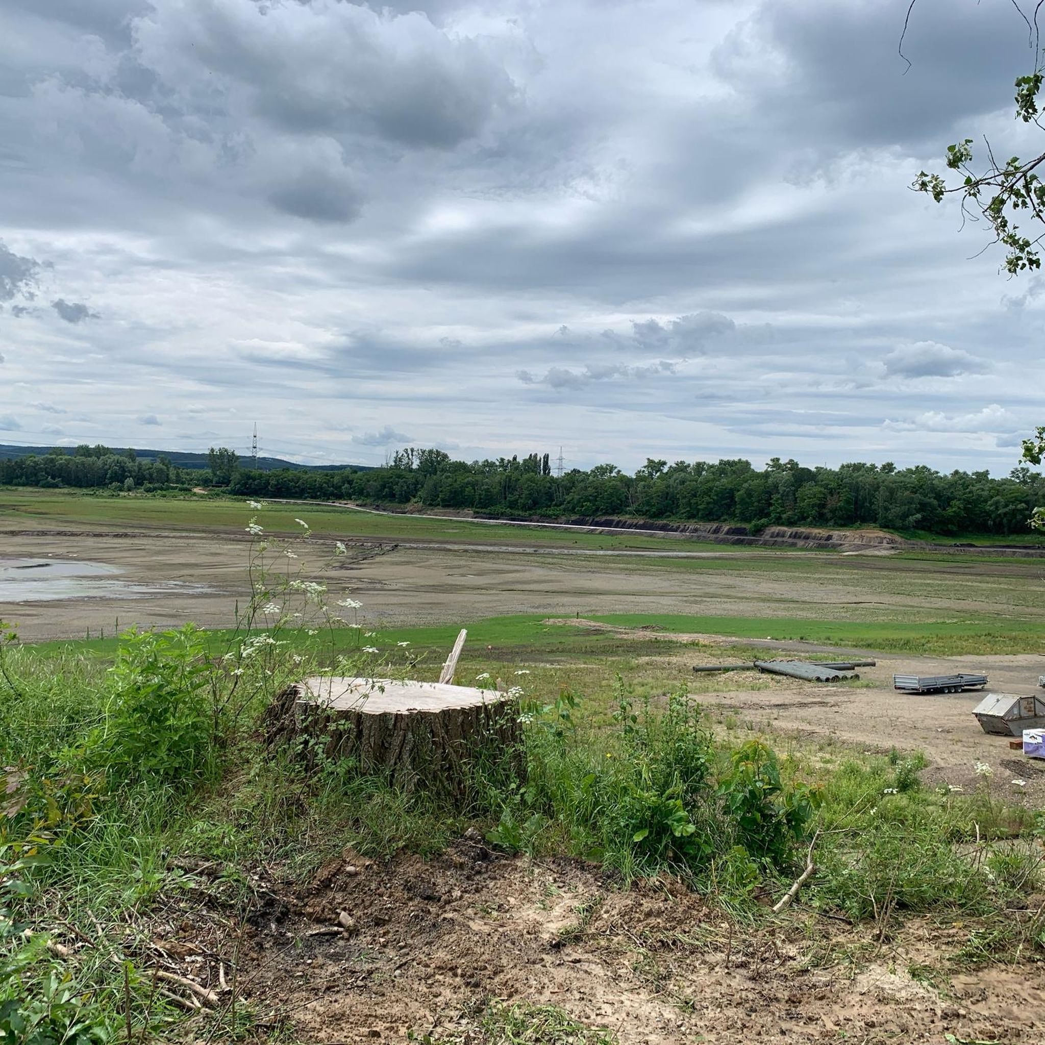
The lake is now empty and can still be circumnavigated, but no longer on all the paths that are still in Komoot.
0
0

The Rurradweg is also always nice for MTB. Varied.
4
0

Very nice, well-maintained wayside cross.
3
0


The Inde is a 54.1 km long left tributary of the Rur in Wallonia and North Rhine-Westphalia. Administratively it belongs to the Eifel-Rur water association.
9
0
Frequently Asked Questions
Is it still possible to jog around Lucherberger Lake?
The Lucherberger Lake itself no longer exists; it was drained between 2021 and 2024 as part of the Inden surface mine expansion. The former lake area is now industrial property and fenced off. However, the surrounding region still offers a variety of running routes through open fields, agricultural land, and along the Inde River, providing opportunities to explore the landscape in the vicinity of the former lake.
What kind of terrain can I expect on the running routes near the former Lucherberger Lake?
The running routes in this area are characterized by paths through open fields, along the Inde River, and across agricultural landscapes. You'll find a mix of flat sections and gentle inclines, offering varied terrain for your run.
Are there any easy running paths suitable for beginners or a relaxed jog?
Yes, there are several easy running paths. For example, the Lucherberger See – Former Lucherberg Lake loop from Lucherberg is an easy 2.8-mile (4.5 km) trail that offers a compact loop through the landscape near the former lake. Another easy option is the Running loop from Lucherberg, which is about 3 miles (4.8 km) long.
Are there any loop trails for running in the Lucherberger Lake area?
Yes, many of the running routes in the area are designed as loops. For instance, the Former Lucherberg Lake loop from Lucherberg is a moderate 5.5-mile (8.9 km) trail that takes you through the agricultural and open areas surrounding the former lake. Another popular loop is the St. Nikolaus Church Frenz – Inde River loop from Lucherberg.
What do other runners say about the trails around Lucherberger Lake?
The running routes in the Lucherberger Lake area are highly rated by the komoot community, with an average score of 4.4 stars from over 550 reviews. Runners often praise the varied terrain and the opportunities to explore the open landscapes and riverside paths.
Are the running routes around Lucherberger Lake suitable for families?
The area offers routes of varying difficulty, including easy paths that could be suitable for families. The generally flat sections and gentle inclines make some routes accessible. It's always recommended to check the specific route details on komoot for distance and elevation to ensure it matches your family's fitness level.
Can I bring my dog on the running trails near Lucherberger Lake?
Many of the paths through open fields and along the Inde River are generally dog-friendly. However, as some routes pass through agricultural land, it's important to keep dogs on a leash, especially near livestock or cultivated fields, and to respect local regulations regarding pets.
Are there any interesting sights or landmarks to see while running in the area?
While the lake itself is gone, the region still offers points of interest. You might encounter highlights like the The Knobby Tree or sections of the Path by the Former Lucherberger See. The routes also offer views of the surrounding agricultural landscapes and the Inde River.
Where can I park when visiting the running routes near Lucherberg?
Specific parking information varies by starting point. Many routes originate from Lucherberg, where you can typically find local parking options. It's advisable to check the starting point of your chosen komoot route for detailed parking suggestions.
Are there any cafes or pubs near the running routes for a post-run refreshment?
Lucherberg and nearby villages may offer local cafes or pubs where you can enjoy a refreshment after your run. These establishments are typically found within the village centers, a short distance from many of the trailheads.
What are the alternatives for jogging now that Lucherberger Lake is drained?
While the lake is gone, the surrounding region still provides numerous running opportunities. The routes described in this guide, such as the Inde River – War Memorial Cross Eifel loop from Lucherberg, offer varied terrain through fields and along the Inde River. The area continues to be a good spot for outdoor activities, focusing on the wider landscape rather than the former lake.
How many running routes are available in the Lucherberger Lake region?
There are over 540 running routes available in the Lucherberger Lake region, offering a wide range of options for different preferences and fitness levels.
Most popular routes around Lucherberger Lake
Most popular attractions around Lucherberger Lake

Get inspired with the komoot mobile app


Explore more
Browse the best Running Trails & Routes in other regions.
