The best walks and hikes around Hesperia
4.3
(8)
155
hikers
24
hikes
If you've ever tried planning hiking around Hesperia, you know how quickly the options can feel overwhelming. With so many trails crisscrossing the high desert, it's tough to tell which routes are genuinely worth your time and effort. That's where we come in. Our komoot community has mapped, walked, and reviewed these trails, and we've distilled all that local knowledge into a curated shortlist, saving you the guesswork.
Hiking around Hesperia means immersing yourself in a unique blend of Mojave…
Last updated: May 10, 2026
3
hikers
14.1km
03:58
310m
220m
The Pacific Crest Trail: Mojave River to Silverwood Lake offers a captivating journey through California's high desert, transitioning from arid landscapes to stunning lakeside vistas. You'll traverse unique terrain marked…
1
hikers
6.97km
01:56
150m
90m
This easy 4.3-mile (7.0 km) out-and-back hike to Rainbow Bridge via the Pacific Crest Trail offers a delightful journey through varied landscapes, taking about 1 hour and 56 minutes to…

Sign up for free
1
hikers
4.04km
01:06
60m
70m
The Pacific Crest Trail and Garces Overlook offers a delightful blend of high desert and alpine scenery, culminating in panoramic views over Silverwood Lake. This easy 2.5-mile (4.0 km) hiking…
2.91km
01:16
250m
10m
The Arrowhead Pinnacles Trail offers a unique, desert-like hiking experience near Lake Arrowhead, despite being in the San Bernardino Mountains. You'll traverse rugged, rocky pathways and dried-up creek beds, encountering…
2.72km
00:46
70m
50m
The Silverwood Lake Vista Point to Garces Overlook route offers a delightful, easy stroll through a landscape where high desert meets alpine beauty. You will find yourself walking on a…
Get access to more routes and recommendations from other explorers.
Sign up for free
Already have an account?
Our route recommendations are based on thousands of hikes, rides, and runs completed by other people on komoot.
Start today with a free account
Your next adventure awaits.
Login or Signup

Other adventures around Hesperia

Tips from the Community

This ~4-mile round-trip trail gains about 1,000 feet, with sandy dirt paths, boulders, and some short scrambles marked by cairns and posts—so bring a GPS or offline map. Park near the small dirt lot off CA‑173 (permit required) by the rifle range. The route starts in shady forest but opens to granite outcrops with Joshua Tree–style views. Wear sturdy boots, carry plenty of water, and start early to beat the heat—there’s little shade, but you’ll be rewarded with sweeping mountain and desert vistas from the top.
0
0

Great vista point off the Rim of the World Scenic Byway high above Silverwood Lake, with sweeping panoramic views.
1
0
At the dead-end of CA highway 173 is a trailhead staging area for hikers using the Pacific Crest Trail. About 5 hours north are interesting hot springs along the trail. There are objects here to lock the bike to, though the bike might be safer a few miles further up the trail where the access is less easy for potential thieves with cars.
0
0
At the end of the road a trail continues northeast along the creek, heading upstream to wonderful riverside hot springs, about 4 hours walk upstream. Officially the trail is not for biking, though it is mostly reasonably flat.
0
0
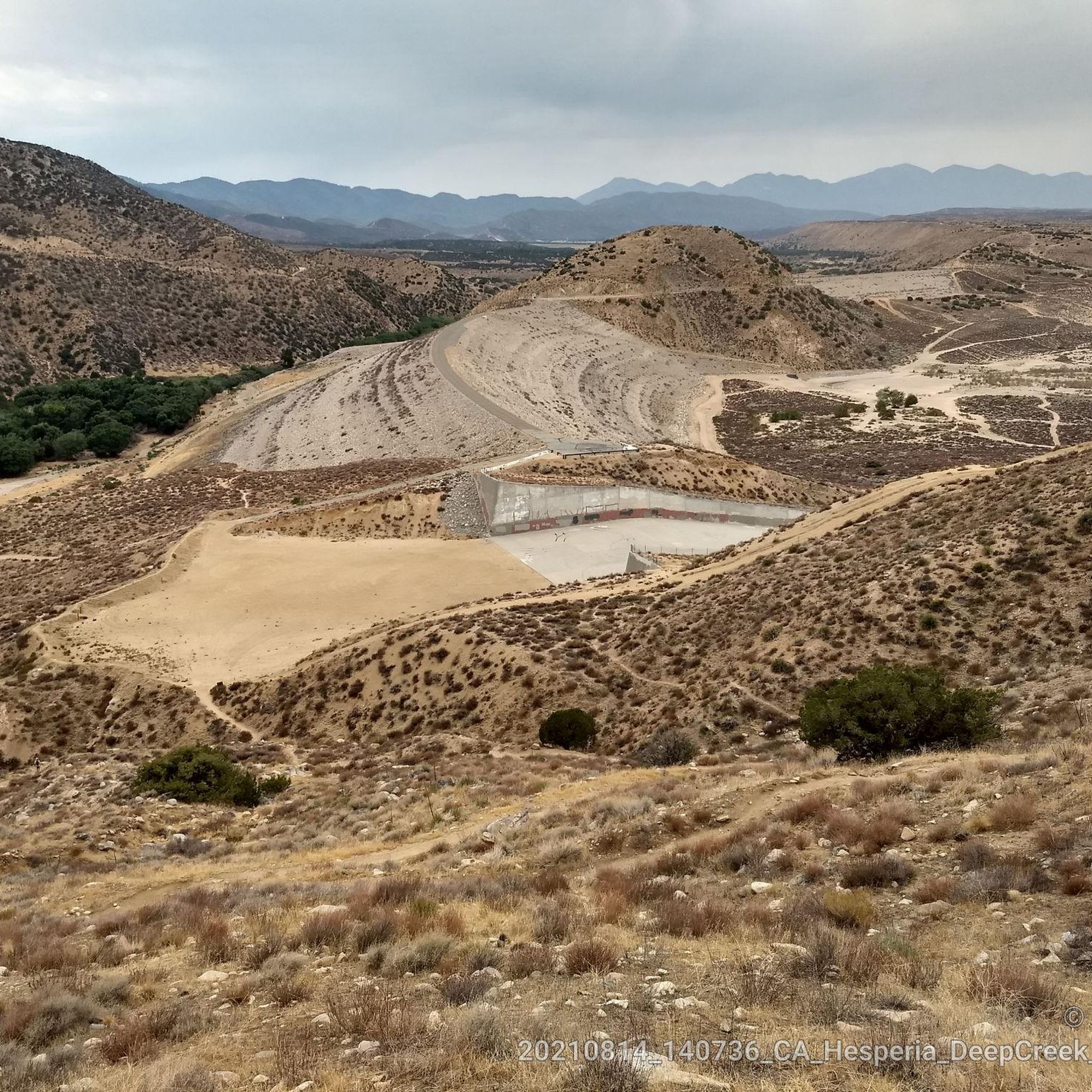
Paved, car-free Saddle Dike embankment road affords a scenic loop into Mojave River Forks Regional Park to this dam spillway.
0
0
Great car-free access for bikes through the locked gate into Mojave River Forks Regional Park along the road on top of the seasonal dike embankment.
0
0
Panoramic overlook of Silverwood Lake, the dam that creates the reservoir, and its flowing into the West Fork Mojave River
1
0

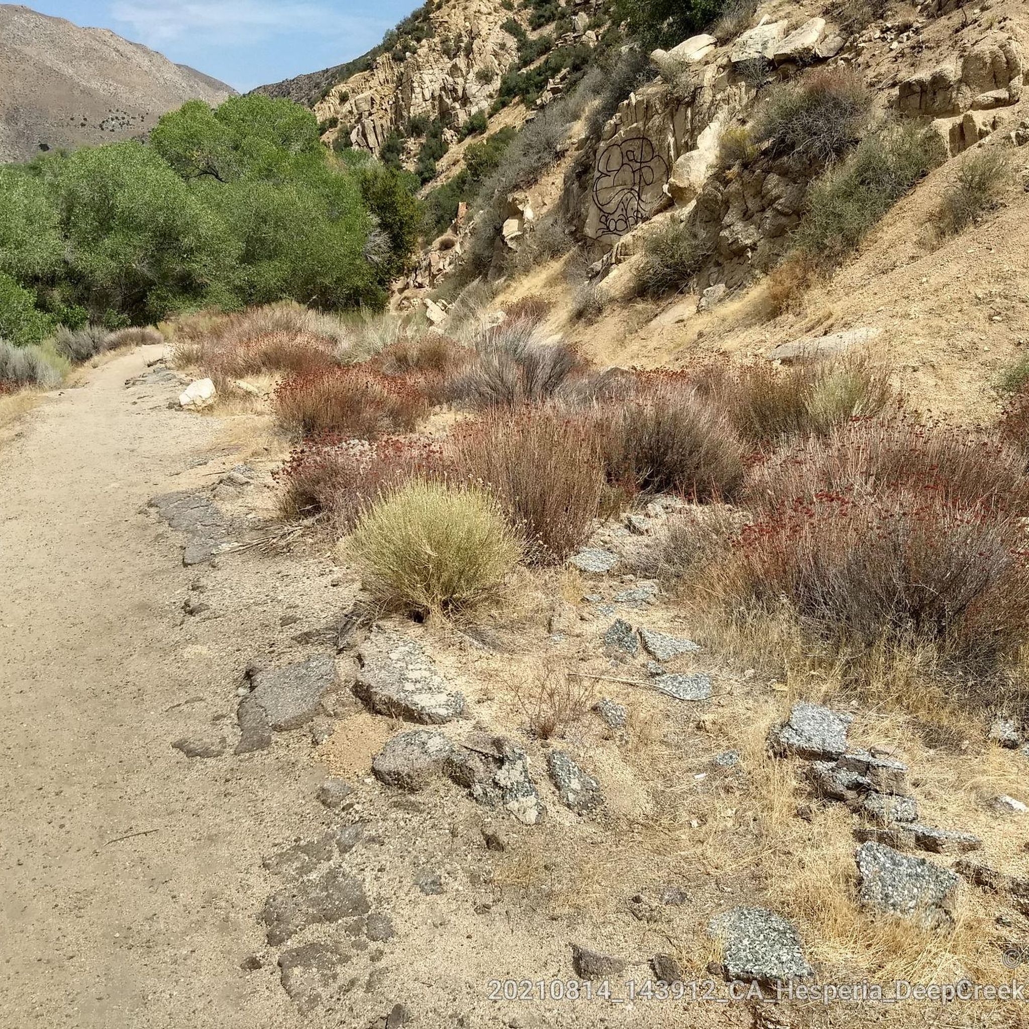
Great view from the PCT onto the valley and Deep Creek. The views stay with you for a while as you stay high above the valley.
0
0
Frequently Asked Questions
What kind of terrain can I expect on hiking trails around Hesperia?
Hiking around Hesperia offers a unique blend of landscapes. You'll find expansive Mojave Desert environments with Joshua trees and sagebrush, as well as trails leading into the foothills of the San Bernardino Mountains. The region also features riverine areas like the Mojave River, providing diverse scenery.
Are there any easy, family-friendly hiking options in Hesperia?
Yes, Hesperia offers several easy trails suitable for families. A great option is the Lake Gregory loop via the Lake Gregory Trail, which is 2.5 miles long and offers scenic views around the lake. Another popular choice is the Heart Rock Trail – San Bernardino National Forest, an easy 1.9-mile path known for its unique heart-shaped rock formation.
Can I bring my dog on the hiking trails in Hesperia?
Many trails in the Hesperia area, particularly those in the San Bernardino National Forest, are generally dog-friendly. However, rules can vary, especially around sensitive natural areas like the Deep Creek Hot Springs. It's always best to check specific regulations for each trail or park beforehand to ensure a pleasant experience for you and your pet.
What are the best times of year to go hiking in Hesperia?
The best times to hike in Hesperia are typically spring and fall when temperatures are milder. Summer can be very hot due to the desert climate, making early morning or late afternoon hikes preferable. Winter offers cooler temperatures, but some higher elevation trails might experience snow or colder conditions, especially in the San Bernardino Mountains.
Are there any trails that lead to natural hot springs?
Absolutely! One of the most notable attractions is the Deep Creek Hot Springs – San Bernardino National Forest. This 12.3-mile trail leads through stunning desert scenery to natural hot springs pools along the Deep Creek River, offering a unique and relaxing reward after your hike. A portion of the Pacific Crest Trail also leads to these springs.
What interesting natural landmarks or attractions can I see along the trails?
Hesperia's trails offer access to several natural highlights. You can explore the unique rock formations at The Pinnacles, or visit the iconic Deep Creek Hot Springs. The Lake Gregory Trail offers beautiful lake views, and you can also find sections of the Pacific Crest Trail, such as the Pacific Crest Trailhead - Mojave River Forks End of Road.
Are there any circular hiking routes available?
Yes, circular routes are a great way to experience the scenery without retracing your steps. A popular loop is the Lake Gregory loop via the Lake Gregory Trail, which provides a scenic circuit around the lake.
What is the general difficulty level of hikes in Hesperia?
Hesperia offers a range of difficulties. You'll find easy trails like the Lake Gregory loop and Heart Rock Trail, which are suitable for most. There are also more challenging routes, such as the longer trek to Deep Creek Hot Springs, which is considered difficult due to its length and elevation changes.
Is there parking available at trailheads in Hesperia?
Most trailheads in and around Hesperia, especially those within the San Bernardino National Forest or near popular attractions, typically offer designated parking areas. It's advisable to arrive early during peak seasons or weekends to secure a spot.
What do other hikers say about the trails in Hesperia?
The hiking experiences around Hesperia are highly regarded by the komoot community, with an average rating of 4.0 stars. Hikers often praise the diverse landscapes, from the unique desert flora to the scenic mountain foothills, and the rewarding destinations like the Deep Creek Hot Springs.
Are there any trails that follow the Pacific Crest Trail (PCT) near Hesperia?
Yes, sections of the iconic Pacific Crest Trail pass through the Hesperia area. You can access parts of the PCT, for instance, along the shoreline of Silverwood Lake, as seen on the Lake Silverwood North Shore via PCT route, or near the Mojave River Forks.
What should I wear or bring for hiking in Hesperia's desert environment?
Given the desert and mountain environment, it's crucial to wear layers, sturdy hiking shoes, and sun protection (hat, sunglasses, sunscreen). Always carry plenty of water, as desert trails can be exposed and hot, especially outside of cooler seasons. A map or GPS device is also recommended, as cell service can be spotty in some remote areas.
Are there any lakes or water features to explore on hikes?
Yes, Hesperia is close to several beautiful water features. The Lake Gregory Trail offers picturesque views of Lake Gregory. Additionally, the Lake Silverwood North Shore via PCT route provides access to Silverwood Lake, a popular spot for recreation and scenic walks.
Most popular routes around Hesperia
Most popular attractions around Hesperia

Get inspired with the komoot mobile app


Explore more
Browse the best Hikes in other regions.
