The best walks and hikes around Sennesee
4.5
(9915)
33,311
hikers
538
hikes
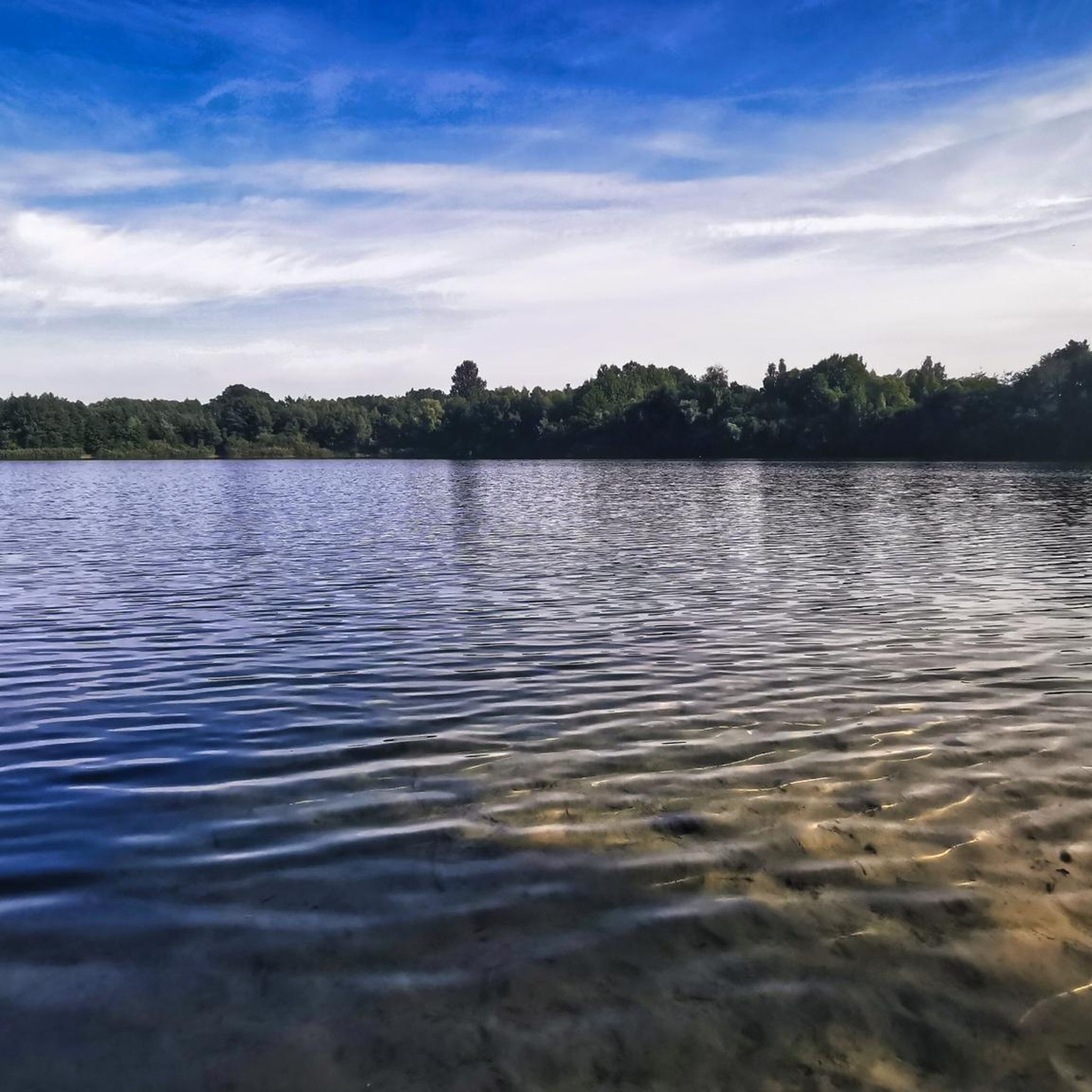
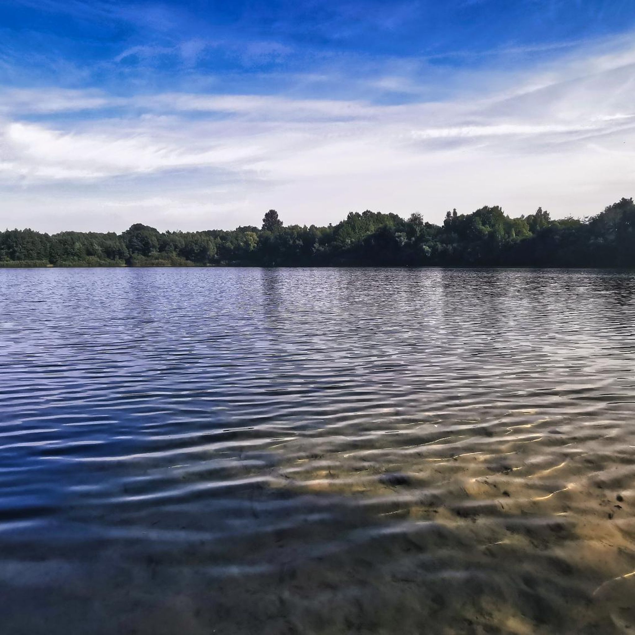
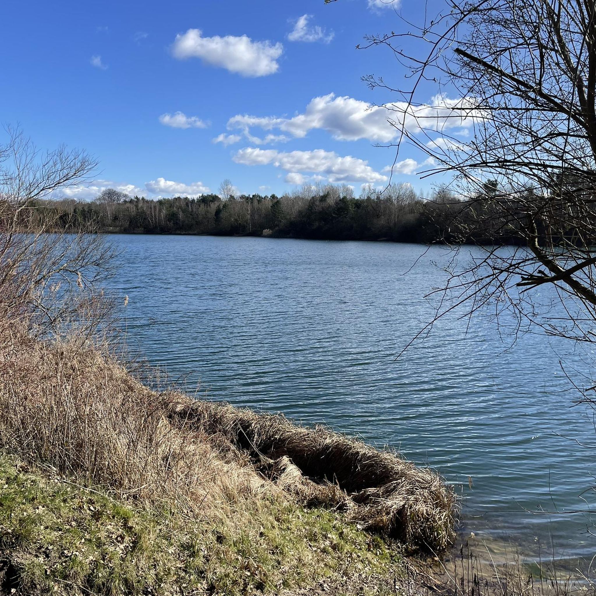
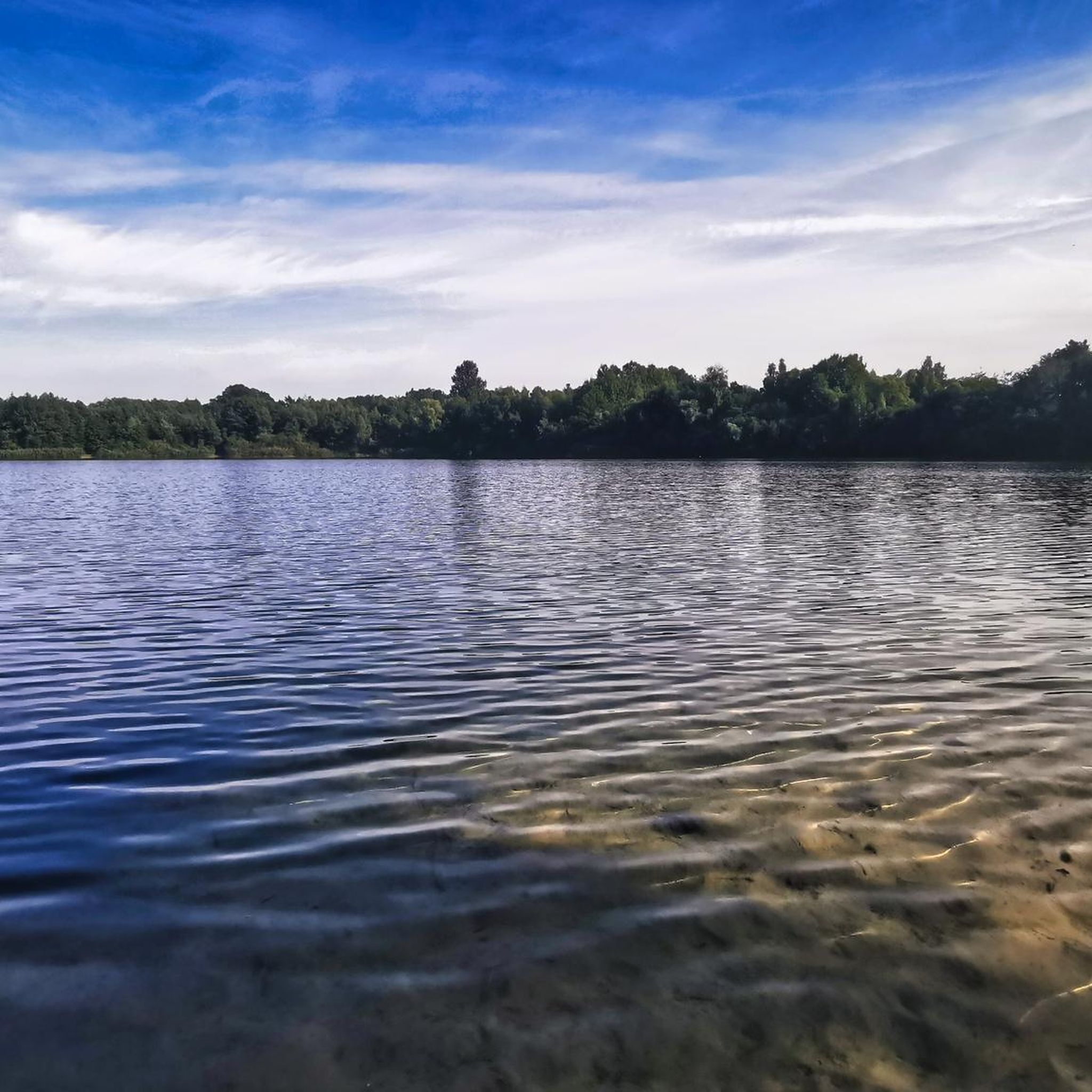
Hiking around Sennesee offers accessible trails and natural attractions centered around the Sennesee Lake. The region is characterized by its lake environment and the nearby Ems river source, providing varied terrain for outdoor activities. Trails range from easy paths suitable for all skill levels to longer routes. The landscape includes the Sennesee Lake itself and areas connected to the Ems Adventure World.
Best hiking trails around Sennesee
- The most popular hiking route is Sennesee – Senne Lake loop from Senne…
Last updated: October 11, 2026
4.2
(6)
9
hikers
7.36km
01:54
40m
40m
Easy hike. Great for any fitness level. Easily-accessible paths. Suitable for all skill levels.
4.7
(66)
213
hikers
Moderate hike. Good fitness required. Easily-accessible paths. Suitable for all skill levels.

4.4
(7)
25
hikers
Moderate hike. Good fitness required. Easily-accessible paths. Suitable for all skill levels.
4.1
(12)
27
hikers
8.28km
02:07
40m
30m
Moderate hike. Good fitness required. Easily-accessible paths. Suitable for all skill levels.
23
hikers
3.60km
00:55
10m
10m
Easy hike. Great for any fitness level. Easily-accessible paths. Suitable for all skill levels.
Get access to more routes and recommendations from other explorers.
Already have an account?
Our route recommendations are based on thousands of hikes, rides, and runs completed by other people on komoot.
Start today with a free account
Your next adventure awaits.
Tips from the Community

Beautiful lake, great for hiking and cycling
2
0

Large covered rest area
1
0


The path along the Furlbach stream is beautiful and romantic. A beautiful, unspoiled stream valley provides the backdrop for the pretty stream.
12
0
The path through the Furlbachtal is really a little dream. It can be reached by bus and there is a small hiking car park with a hiking map a few meters above.
10
0

Nice place to rest, just before the Ems source area.
1
0

Hikers and cyclists can take a break here
2
0
The whole area around the source area is highly recommended
1
0
Frequently Asked Questions
How many hiking trails are available around Sennesee?
There are over 500 hiking routes available around Sennesee, offering a wide variety of options for different preferences and skill levels.
What kind of terrain can I expect on hikes around Sennesee?
The terrain around Sennesee is generally accessible, featuring paths around the lake and through areas connected to the Ems river source. While many paths are easy, some routes may be muddy after rain, particularly around the lake itself. You'll find a mix of flat sections and gentle inclines.
Are there options for shorter, easier walks in the Sennesee area?
Yes, Sennesee offers many short and easy paths suitable for a relaxed stroll. A popular choice is the Sennesee – Senne Lake loop from Senne, which is about 2.2 miles (3.5 km) and takes less than an hour to complete, providing a comfortable circular path around the lake.
Are the hiking trails around Sennesee suitable for beginners?
Absolutely. The Sennesee region is known for its accessible trails, with a significant number of easy routes. Over 380 of the available routes are classified as easy, making it an excellent destination for beginners or those looking for a less strenuous experience.
Can I find circular hiking routes around Sennesee?
Yes, circular routes are a prominent feature of hiking in Sennesee. The Sennesee – Senne Lake loop from Senne is a well-known circular path around the lake. Another option is the Sennesee – Furlbach loop from Senne, an easy 4.6-mile (7.4 km) path offering scenic views.
Are the trails around Sennesee family-friendly?
Many trails around Sennesee are very family-friendly due to their accessible nature and varying lengths. The easy paths, especially the circular routes around the lake, are suitable for families with children. The nearby Ems Adventure World also offers an interactive experience that can complement a family hiking trip.
Are dogs allowed on the hiking trails in Sennesee?
While specific regulations can vary, generally, dogs are welcome on hiking trails in the Sennesee area. It's always recommended to keep them on a leash, especially in nature protection areas or near wildlife, and to clean up after them to ensure a pleasant experience for everyone.
What natural features or attractions can I see while hiking near Sennesee?
Beyond the beautiful Sennesee Lake itself, you can explore the area around the Ems river source. The Ems Spring (Source of the Ems) loop from Stukenbrock-Senne takes you through this significant natural feature. The Ems Adventure World nearby also offers insights into the river's journey.
What do other hikers enjoy the most about hiking in Sennesee?
The Sennesee area is highly rated by the komoot community, with an average score of 4.5 stars from over 7,500 reviews. Hikers often praise the accessible paths, the scenic beauty of the lake, and the variety of routes that cater to different fitness levels, from short strolls to longer explorations of the Ems river source.
Are there any longer, more challenging routes for experienced hikers?
While Sennesee is known for its accessible trails, there are options for longer hikes. For example, the Ems Spring (Source of the Ems) loop from Stukenbrock-Senne is a moderate 7.3-mile (11.8 km) trail that takes about 3 hours, offering a more extended experience through the region's natural landscape.
What is the best time of year to go hiking around Sennesee?
Sennesee is enjoyable for hiking throughout much of the year. Spring and autumn offer pleasant temperatures and beautiful scenery, with fewer crowds. Summer is also popular, though trails can be busier. While possible, winter hiking might require appropriate gear, and some paths around the lake can become muddy after rain or snowmelt.
Is there parking available near the Sennesee hiking trails?
Yes, parking is generally available at common starting points for hikes around Sennesee, particularly near the lake and in the vicinity of the Ems Adventure World. Specific parking information can often be found on individual route descriptions on komoot.
Most popular routes around Sennesee

Get inspired with the komoot mobile app


Explore more
Browse the best Hikes in other regions.
