The best walks and hikes around Glingebachtalsperre
4.6
(6046)
22,235
hikers
686
hikes
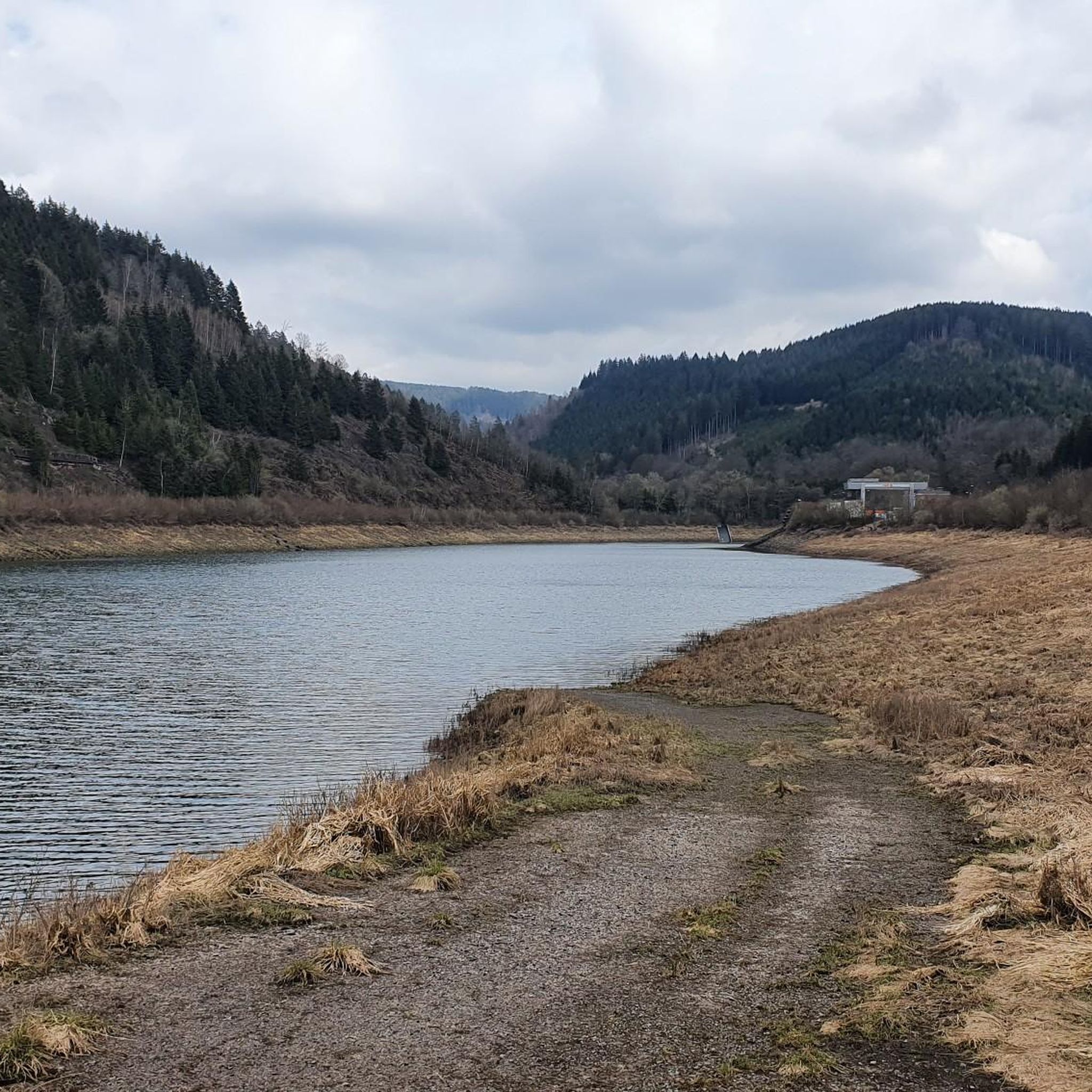
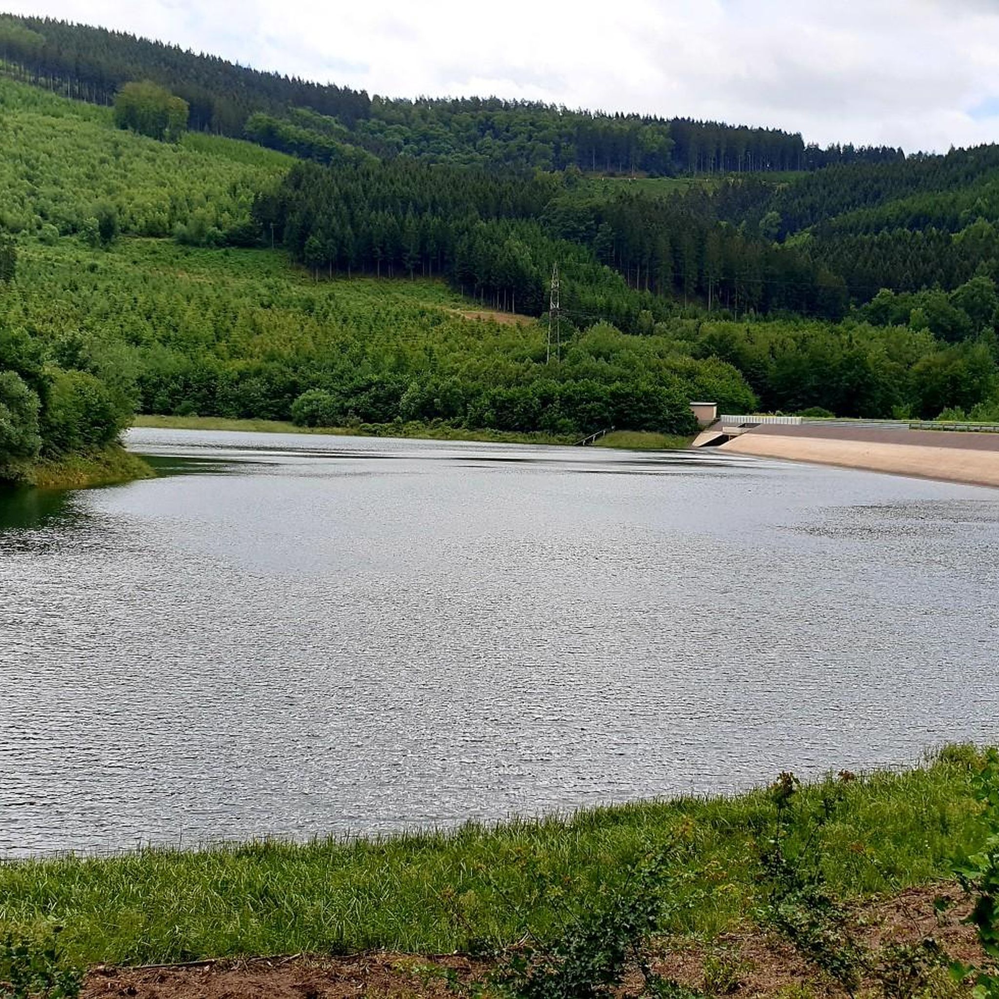
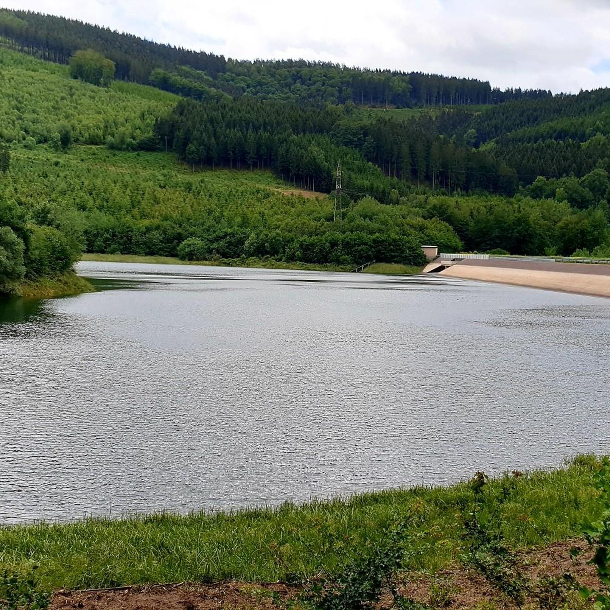
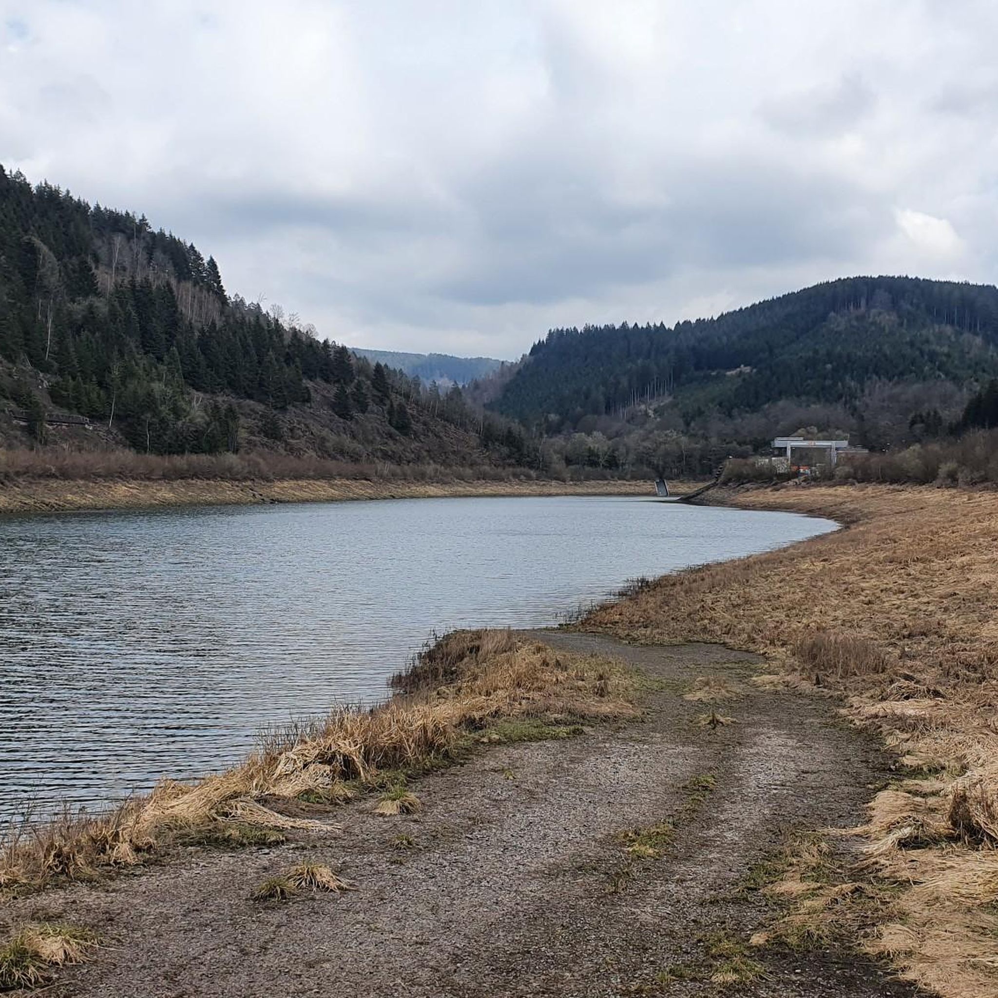
Hiking around Glingebachtalsperre offers diverse landscapes characterized by a blend of forests and water in the Sauerland region. The Glingebachtalsperre dam creates a significant body of water, with the Glinge stream feeding into it. The area features heavily forested surroundings and hilly terrain, including hills like the Hohe Hardt (502m) and the Almert (519m). Hikers can also encounter the oval-shaped upper basin on the Dahlberg, part of the Rönkhausen pumped-storage power plant.
Best hiking trails around Glingebachtalsperre
- The most popular…
Last updated: July 4, 2026
4.8
(94)
349
hikers
Moderate hike. Good fitness required. Easily-accessible paths. Suitable for all skill levels.
4.7
(78)
224
hikers
Easy hike. Great for any fitness level. Easily-accessible paths. Suitable for all skill levels.

Sign up for free
4.7
(66)
244
hikers
11.5km
03:14
240m
240m
Moderate hike. Good fitness required. Easily-accessible paths. Suitable for all skill levels.
4.5
(50)
178
hikers
Hard hike. Very good fitness required. Easily-accessible paths. Suitable for all skill levels.
4.8
(31)
103
hikers
8.69km
02:30
210m
210m
Moderate hike. Good fitness required. Easily-accessible paths. Suitable for all skill levels.
Get access to more routes and recommendations from other explorers.
Sign up for free
Already have an account?
Our route recommendations are based on thousands of hikes, rides, and runs completed by other people on komoot.
Start today with a free account
Your next adventure awaits.
Login or Signup
Tips from the Community

great view, has something of a vacation
0
0

A beautiful large bench with a great view.
1
0


The Wilde Wiese viewpoint is breathtakingly beautiful!
1
0

Here you can park for free and there is enough space for many cars
0
0

Off the path lies this hidden forest sofa with a wonderful view of Wildewiese.
2
0

Really cool views. By the way, you can also get married here :-D
0
0
Piece of furniture - this time really big!
1
0
Frequently Asked Questions
How many hiking trails are available around Glingebachtalsperre?
The Glingebachtalsperre area offers a wide variety of hiking experiences, with over 690 routes available. These range from easy strolls to more challenging treks through the diverse landscapes of the Sauerland region.
Are there easy hiking options suitable for beginners or casual walkers?
Yes, Glingebachtalsperre is very welcoming for beginners and casual walkers. There are nearly 400 easy routes to choose from. An excellent option is the View of Unterbecken Reservoir – View of Lenhausen loop from Wanderparkplatz Oberbecken, which is an easy 6 km path offering pleasant views.
What kind of landscapes and natural features can I expect to see while hiking here?
Hikers around Glingebachtalsperre will experience a picturesque blend of lush forests and tranquil waters. The Glingebachtalsperre reservoir itself is a central feature, surrounded by dense woodlands and rolling hills like the Hohe Hardt (502m) and the Almert (519m). You might also encounter the oval-shaped upper basin on the Dahlberg, part of the Rönkhausen pumped-storage power plant, offering unique views.
Are there any circular hiking routes around Glingebachtalsperre?
Yes, many of the trails around Glingebachtalsperre are circular, allowing you to start and end at the same point. For example, the Sillberge Forest Trail – View of the Wildewiese loop from Buchberg/Steinkopf is a popular moderate circular route covering 13.7 km.
What is the best time of year to go hiking in Glingebachtalsperre?
The Glingebachtalsperre area is beautiful throughout the year, but the summer months are particularly popular for enjoying expansive views of the reservoir and surrounding nature. Spring and autumn offer vibrant foliage and comfortable temperatures, while winter can transform the landscape into a serene, snow-covered wonderland, though some paths might be more challenging.
Are there any challenging hikes for experienced trekkers?
While the area is known for its accessible trails, there are also options for more experienced hikers. You can find 27 difficult routes that feature more significant elevation changes and longer distances, providing a good challenge amidst the hilly terrain of the Sauerland region.
What do other hikers say about the trails in Glingebachtalsperre?
The hiking trails in Glingebachtalsperre are highly regarded by the komoot community, boasting an average rating of 4.6 stars from over 5,000 reviews. Hikers frequently praise the tranquil waters, dense forests, and well-maintained paths that make exploring the varied terrain a pleasure.
Are the hiking trails around Glingebachtalsperre suitable for families with children?
Yes, the Glingebachtalsperre area offers many family-friendly options. With nearly 400 easy routes, you can find paths that are suitable for shorter walks and less strenuous activity, allowing families to enjoy nature together. Look for trails with minimal elevation gain for the most comfortable experience.
Can I bring my dog on the hiking trails?
Generally, dogs are welcome on trails in the Glingebachtalsperre region. It's always advisable to keep your dog on a leash, especially in forested areas or near wildlife, and to check for any specific local regulations or protected zones along your chosen route.
Are there any viewpoints or scenic spots along the trails?
Absolutely. The region is characterized by its scenic beauty. Many trails offer stunning views of the Glingebachtalsperre reservoir itself. Routes like the View of Nordhelle – Sauerland Upper Reservoir loop from Müggenohl provide excellent vantage points, including views of the upper basin and the surrounding Sauerland landscape.
Is there parking available near the trailheads?
Yes, many trailheads around Glingebachtalsperre, such as the starting point for the View of Unterbecken Reservoir – View of Lenhausen loop from Wanderparkplatz Oberbecken, are typically accessible by car and have designated parking areas. It's recommended to check the specific route details for parking information before your trip.
Are there places to eat or drink near the hiking routes?
While the immediate vicinity of the Glingebachtalsperre is primarily natural, the broader Sauerland region has various amenities. You can often find cafes and pubs in nearby towns and villages, which are great for a refreshment before or after your hike. It's a good idea to pack snacks and water for longer excursions.
Most popular routes around Glingebachtalsperre

Get inspired with the komoot mobile app


Explore more
Browse the best Hikes in other regions.
