The best walks and hikes around Perlenbachtalsperre
4.6
(29935)
101,900
hikers
773
hikes
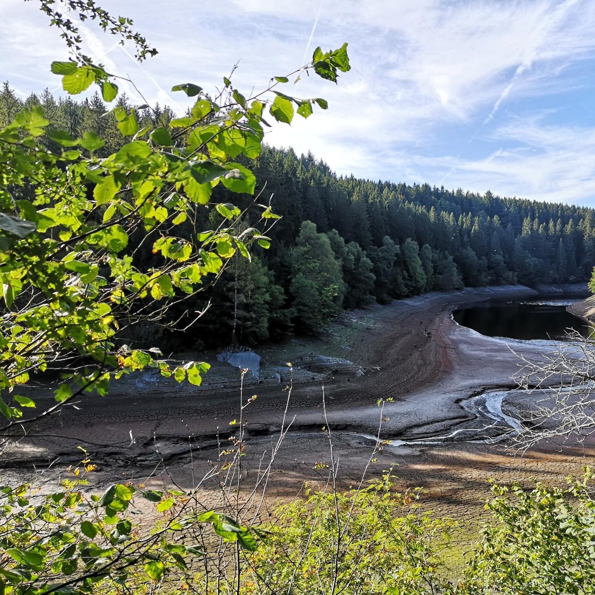
Hiking around Perlenbachtalsperre offers diverse landscapes centered around the reservoir and its surrounding valleys. The region is characterized by the tranquil Perlenbach Valley, notable for its Wild Daffodil Meadows and distinctive rock formations such as Teufelsley. The area also features the Fuhrtsbach Valley and sections of the Wild Rur river, providing varied terrain for outdoor activities.
Best hiking trails around Perlenbachtalsperre
- The most popular hiking route is Narcissus route - Eifelsteig partner trail, a 9.1 miles (14.7 km) trail…
Last updated: October 13, 2026
4.7
(1599)
4,851
hikers
14.7km
04:03
210m
210m
Moderate hike. Good fitness required. Mostly accessible paths. Sure-footedness required.
4.7
(1593)
4,843
hikers
15.3km
04:15
240m
240m
Moderate hike. Good fitness required. Mostly accessible paths. Sure-footedness required.

4.7
(355)
1,279
hikers
Hard hike. Very good fitness required. Mostly accessible paths. Sure-footedness required.
4.8
(149)
600
hikers
Moderate hike. Good fitness required. Easily-accessible paths. Suitable for all skill levels.
4.7
(365)
1,196
hikers
Moderate hike. Good fitness required. Easily-accessible paths. Suitable for all skill levels.
Get access to more routes and recommendations from other explorers.
Already have an account?
Our route recommendations are based on thousands of hikes, rides, and runs completed by other people on komoot.
Start today with a free account
Your next adventure awaits.
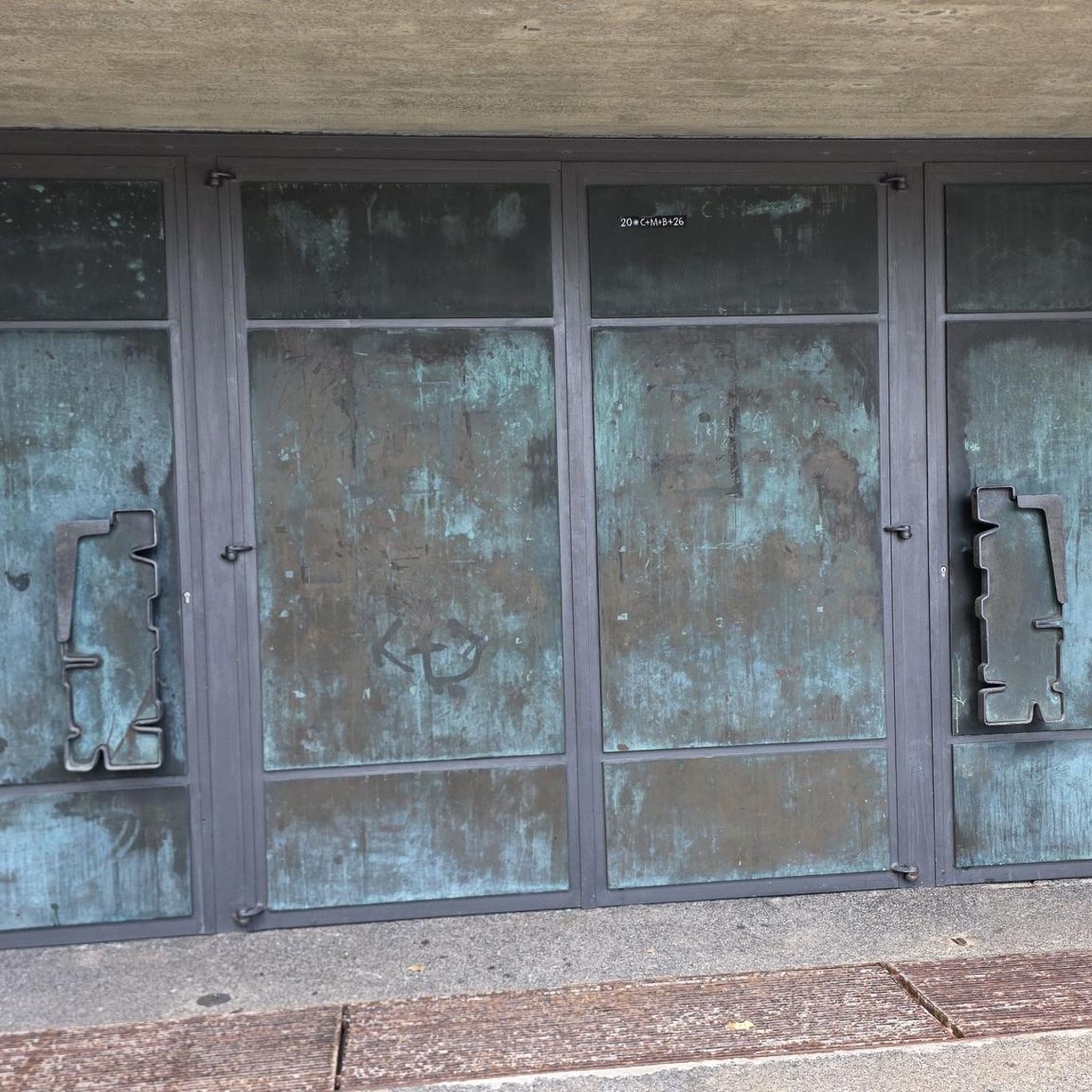
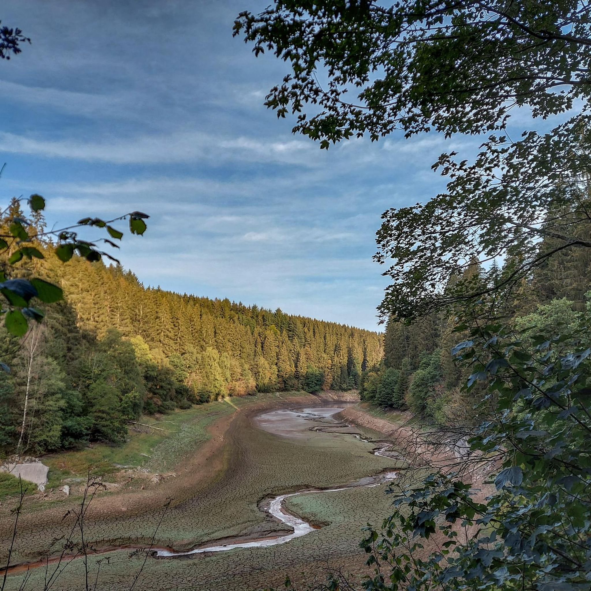
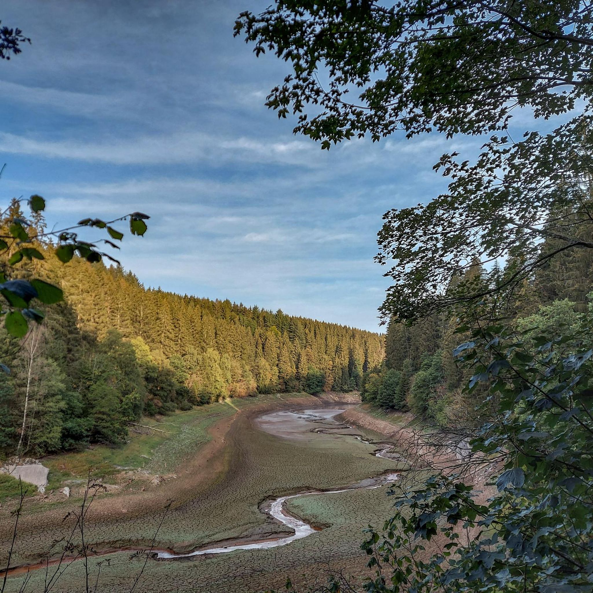
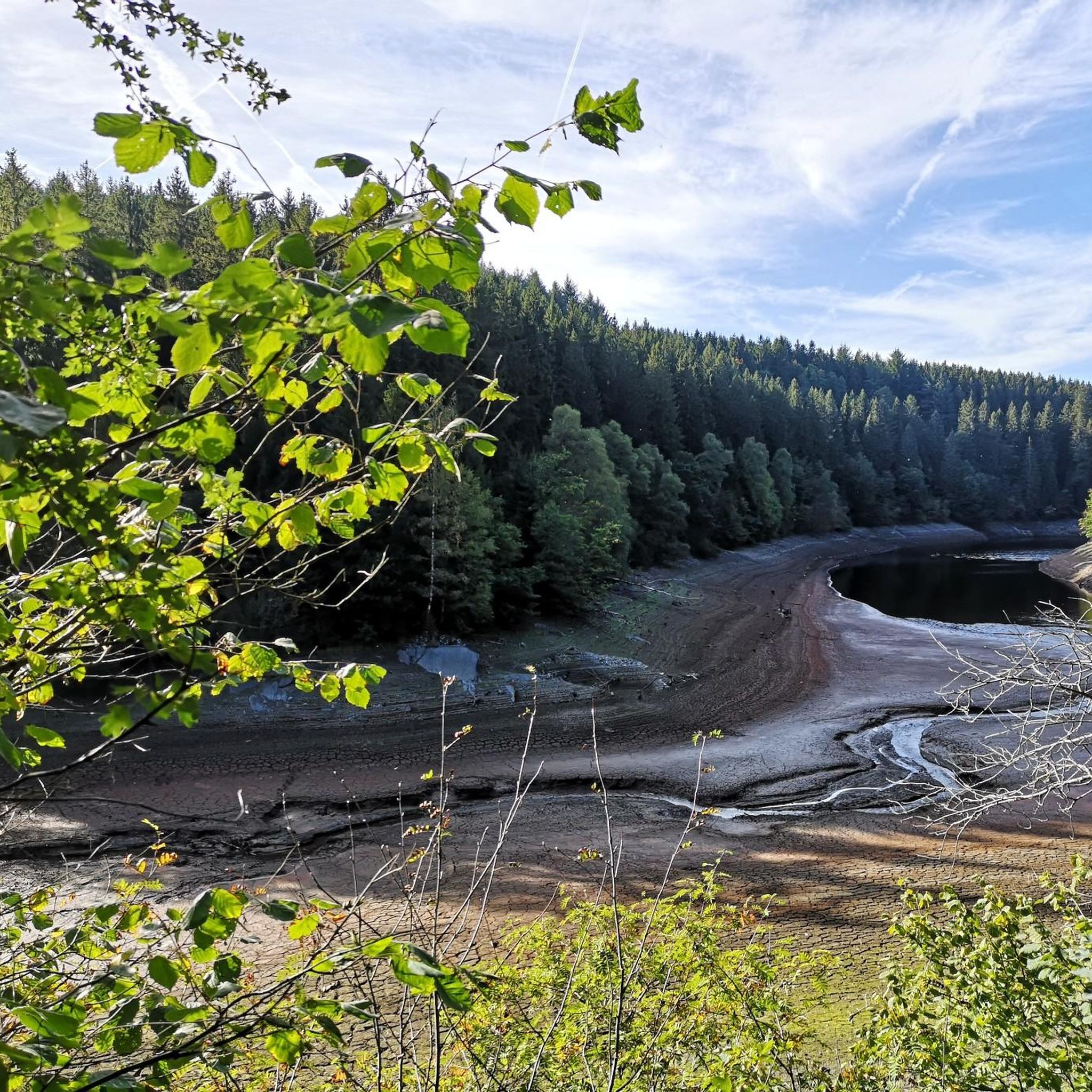
Tips from the Community

The Rur-Uferweg from Dreistegen in the direction of Kloster Reichenstein runs along the Rur through the wooded and partially rocky Rurtal valley. Individual sections lead over narrow natural paths, which can be somewhat marshy in places after rain. For the way back, the opposite bank of the Rur is suitable, where a wide gravel path leads back in the direction of Dreistegen.
34
0

Very nice, clean rest stop and also some information boards and informative. The cycle path east of the Perlenbach has been newly gravelled (as of 9/26) and is terrible to ride on.
9
0

Idyllic path along the very natural Rur.
8
0

The Daverkaul is a large clearing. Take your time and enjoy the silence. Enjoy the view. Wonderful.
1
0

A small cabin, a picnic table and some information are available to welcome you in complete peace and quiet.
6
0
According to local tradition, an old legend explains the origin of the Teufelsley (Devil's Rock). The devil was said to have been enraged because a monastery was to be built in the region. In his anger, he dislodged a massive boulder from the heights to destroy the structure. However, as he approached with the stone, an angel intervened, thwarting the devil's plan and stopping his attack. The rock brought by the devil then remained in its present location and has been called Teufelsley ever since.
46
0

Beautiful paths along the upper Rur, whether upstream or downstream
4
0

Take a break and learn about the protection of the endangered freshwater pearl mussel: This is possible here.
4
0
Frequently Asked Questions
How many hiking trails are available around Perlenbachtalsperre?
There are over 800 hiking routes available around Perlenbachtalsperre, catering to various skill levels. This includes more than 400 easy trails, 350 moderate routes, and over 40 challenging options for experienced hikers.
What kind of terrain can I expect on hikes around Perlenbachtalsperre?
The terrain around Perlenbachtalsperre is diverse, featuring tranquil valleys like the Perlenbach and Fuhrtsbach Valleys, scenic views of the reservoir, and distinctive rock formations such as Teufelsley, Engelsley, Bromelsley, and Pferdeley. Paths are generally well-maintained, but some routes may require sure-footedness.
Are there any notable natural landmarks or viewpoints along the trails?
Yes, the area is rich in natural landmarks. You can explore the famous Wild Daffodil Meadows, especially vibrant in spring. Hikers can also discover unique rock formations like Teufelsley and Engelsley in the Lower Perlenbach Valley. The Perlenbach Dam itself is a significant feature, and there are several spots offering beautiful views of the reservoir, such as the View of the Perlenbach Reservoir from the relaxation benches.
When is the best time to experience the Wild Daffodil Meadows?
The best time to experience the Wild Daffodil Meadows is in spring, typically when the daffodils are in full bloom. This natural spectacle transforms the Perlenbach Valley into a vibrant landscape. Routes like the Narcissus route - Eifelsteig partner trail are specifically designed to showcase this seasonal highlight.
Can I see the historic town of Monschau while hiking?
Yes, some hiking routes offer views of Monschau and can even lead you to its historic Old Town. For example, the View of Monschau – Monschau Old Town loop from Unteres Perlenbachtal mit den Felsbildungen der Teufelsley, Engelsley, Bromelsley und Pferdeley is a popular trail that connects natural beauty with cultural points of interest.
Are there any long-distance or more challenging hiking options?
For those seeking a longer and more demanding experience, the First stage of the Wilderness trail – hiking in the footsteps of the wildcat is a difficult 14.8-mile (23.9 km) path that takes you through varied natural environments.
Are there any circular hiking routes around the Perlenbachtalsperre?
Yes, many of the trails around Perlenbachtalsperre are designed as circular routes, allowing you to start and end at the same point. The Wild Rur below Ehrensteinsley – Rur Riverside Trail loop is an example of a circular route that highlights the natural beauty of the Rur river.
What do other hikers enjoy most about hiking in Perlenbachtalsperre?
The area is highly rated by the komoot community, with an average score of 4.6 stars from over 25,000 reviews. Hikers often praise the tranquil environment, the diverse landscapes, and the well-maintained paths. The scenic views of the reservoir and the unique natural features like the Wild Daffodil Meadows are frequently highlighted as favorites.
Is the Perlenbachtalsperre area suitable for family hikes?
Yes, the region offers a variety of trails suitable for families. There are numerous easy walks that are less demanding, allowing families to enjoy the natural beauty of the Perlenbach Valley and the reservoir at a comfortable pace. Many paths are well-maintained and provide a pleasant outdoor experience for all ages.
Are dogs allowed on the hiking trails around Perlenbachtalsperre?
The Perlenbachtalsperre area is generally dog-friendly, making it a great place to hike with your canine companion. However, it's always recommended to keep dogs on a leash, especially in nature reserve areas like the Wild Daffodil Meadows, to protect local wildlife and ensure a pleasant experience for all visitors.
Where can I park when visiting the Perlenbachtalsperre for hiking?
There are various parking options available near the Perlenbachtalsperre and its trailheads. Specific parking areas are usually indicated at the start of popular routes or near the dam itself. It's advisable to check local signage upon arrival for the most current parking information.
Can I reach the hiking trails by public transport?
While the region is primarily accessed by car, there are public transport options that can get you close to the Perlenbachtalsperre area. It's best to check local bus schedules and routes from nearby towns like Monschau or Aachen to plan your journey to the trailheads.
Most popular routes around Perlenbachtalsperre
Most popular attractions around Perlenbachtalsperre

Get inspired with the komoot mobile app


Explore more
Browse the best Hikes in other regions.
