The best cycling routes around Lynwood
4.7
(37)
340
riders
20
rides
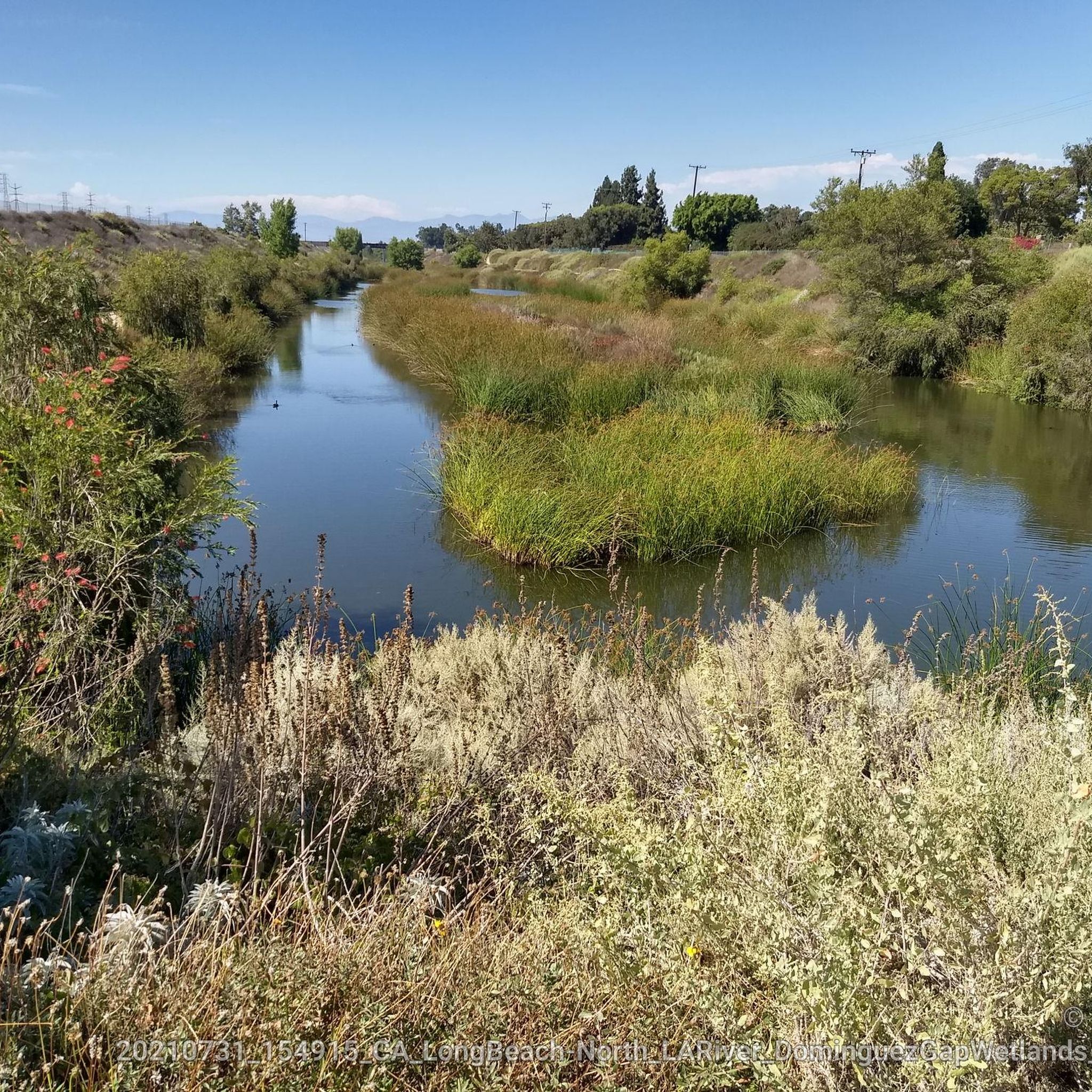
Touring cycling around Lynwood primarily features routes along the region's river systems, including the Los Angeles River and San Gabriel River. The terrain is generally flat, with minimal elevation changes, making it suitable for various cycling abilities. These routes often follow paved paths and greenways, providing accessible options for exploring the area.
Best touring cycling routes around Lynwood
- The most popular touring cycling route is Los Angeles and San Gabriel Rivers Trail Loop, a 33.3 miles (53.6 km) trail…
Last updated: September 1, 2026
3.8
(5)
27
riders
53.6km
03:06
60m
60m
The Los Angeles and San Gabriel Rivers Trail Loop offers a unique touring cycling experience, blending urban and natural environments across its 33.3 miles (53.6 km). You'll pedal along mostly…
5
riders
47.9km
02:47
60m
60m
Moderate bike ride. Good fitness required. Mostly paved surfaces. Suitable for all skill levels.

Sign up for free
40.7km
02:22
110m
110m
Moderate bike ride. Good fitness required. Mostly paved surfaces. Suitable for all skill levels.
5.0
(5)
82
riders
Moderate bike ride. Good fitness required. Mostly paved surfaces. Suitable for all skill levels.
5.0
(3)
18
riders
41.5km
02:25
70m
70m
Moderate bike ride. Good fitness required. Mostly paved surfaces. Suitable for all skill levels.
Get access to more routes and recommendations from other explorers.
Sign up for free
Already have an account?
Our route recommendations are based on thousands of hikes, rides, and runs completed by other people on komoot.
Start today with a free account
Your next adventure awaits.
Login or Signup
Popular around Lynwood

Tips from the Community


The Rio Hondo Bike Bridge is an interesting structure that connects the bike trails that runs on either side of the Rio Hondo.
0
0

Limited cars use the roads so it is nice to get away from traffic
0
0
Not a bad trail. Super smooth and free of cars and gravel
0
0

The trail is part paved concrete and part packed dirt, and takes you through a series of parks along the San Gabriel River. The trail runs for a mile and a half and is interrupted by only two road crossings.
0
0
There is a parking lot and restroom here at the trailhead, which provides access to a large network of paved and packed dirt trails along the beautiful Rio Hondo. The trailhead closes at sunset.
0
0

Wonderfully wide beach, the bike path right in the middle.
0
0

Frequently Asked Questions
What kind of terrain can I expect on touring cycling routes around Lynwood?
The touring cycling routes in Lynwood primarily follow river systems like the Los Angeles River and San Gabriel River. The terrain is generally flat with minimal elevation changes, making it suitable for various cycling abilities. Most routes are on paved paths and greenways.
Are there touring cycling routes suitable for beginners or families in Lynwood?
Yes, Lynwood's flat terrain and paved river paths are well-suited for beginners and families. While many routes are classified as moderate due to their length, the lack of significant climbs makes them accessible. For example, the Los Angeles River Loop is a popular choice, offering a continuous ride through river greenways.
What is the typical length and duration of touring cycling routes in Lynwood?
Routes in Lynwood vary in length, with many ranging from approximately 25 to 33 miles (40 to 53 km). A route like the Los Angeles and San Gabriel Rivers Trail Loop is about 33.3 miles (53.6 km) and typically takes around 3 hours to complete, while the San Gabriel River Loop is 29.8 miles (47.9 km) and takes about 2 hours 45 minutes.
Are there any circular touring cycling routes in Lynwood?
Yes, many of the popular touring cycling routes in Lynwood are loops, offering continuous rides without needing to retrace your path. Examples include the Los Angeles and San Gabriel Rivers Trail Loop, the San Gabriel River Loop, and the Los Angeles River Loop.
What can I see along the touring cycling routes in Lynwood?
The routes often follow urban greenways and river paths, offering views of the natural landscape within an urban setting. You might encounter interesting structures like the Rio Hondo Bike Bridge or sections of the Los Angeles River Greenway. The Los Angeles River Bike Trail – Los Angeles River Greenway loop from Bell Gardens is another route that showcases these features.
What do other touring cyclists enjoy most about touring cycling in Lynwood?
The touring cycling routes in Lynwood are highly rated by the komoot community, with an average score of 4.3 stars from over 50 reviews. Cyclists often praise the accessible river paths, urban greenways, and the generally flat terrain, which makes for enjoyable and continuous rides.
Are there any challenging touring cycling routes in Lynwood?
While the terrain in Lynwood is predominantly flat, the challenge often comes from the length of the routes rather than elevation. Many routes are classified as moderate, such as the Bosque del Rio Hondo – Rio Hondo Bike Bridge loop from Lakewood Boulevard, which covers over 42 km. These longer distances can provide a good workout for touring cyclists.
What is the best season for touring cycling in Lynwood?
Lynwood, being in Southern California, generally offers pleasant cycling conditions year-round. However, spring and fall typically provide the most comfortable temperatures, avoiding the hotter summer months and cooler winter mornings. Always check the local weather forecast before heading out.
Is public transport accessible near Lynwood's touring cycling trails?
Lynwood is part of the Los Angeles metropolitan area, which has a public transportation network. Many urban bike paths, especially those along the rivers, often have access points near bus stops or metro stations. It's advisable to check specific route access points and public transport schedules for the most convenient options.
Are there places to stop for refreshments or coffee along the touring cycling routes?
As the routes often pass through or near urban areas, there are usually opportunities to find coffee shops, cafes, or convenience stores in towns and neighborhoods adjacent to the river paths. Planning your route in advance can help identify suitable stops for refreshments.
How many touring cycling routes are available around Lynwood?
There are over 20 touring cycling routes available around Lynwood, offering a variety of options for exploring the region's river systems and urban greenways.
Most popular routes around Lynwood
Most popular attractions around Lynwood

Get inspired with the komoot mobile app


Explore more
Browse the best Cycling routes in other regions.
