The best running trails around Wiehltalsperre
4.4
(589)
4,533
runners
404
runs
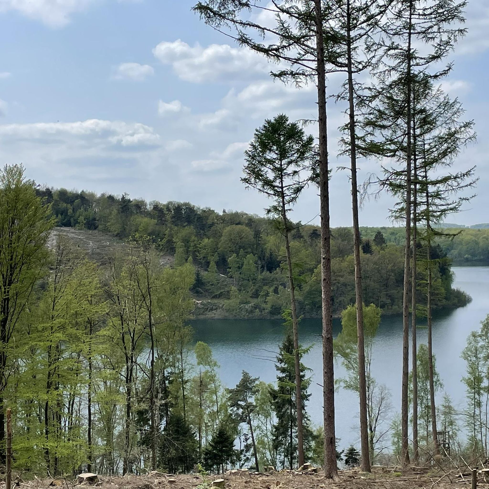
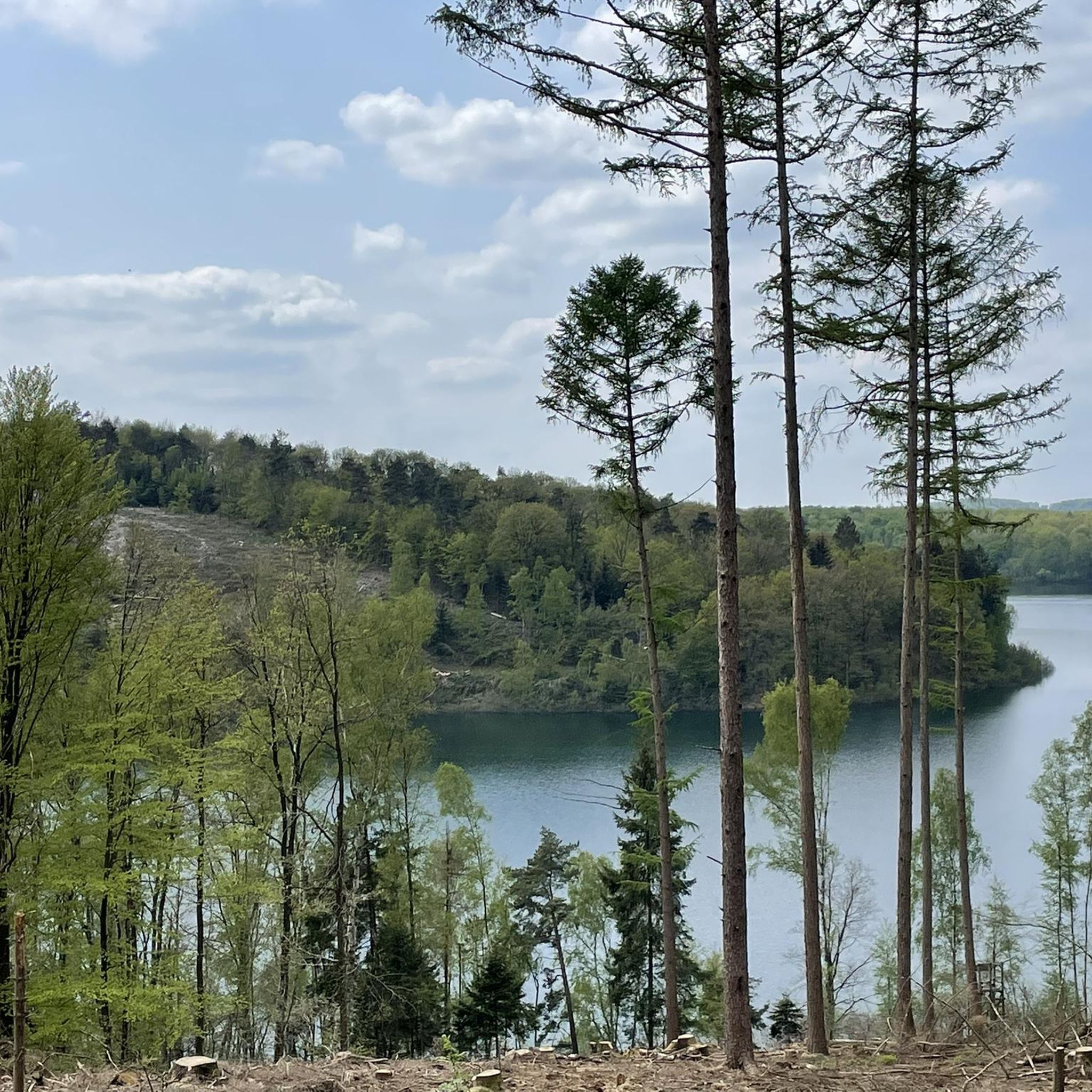
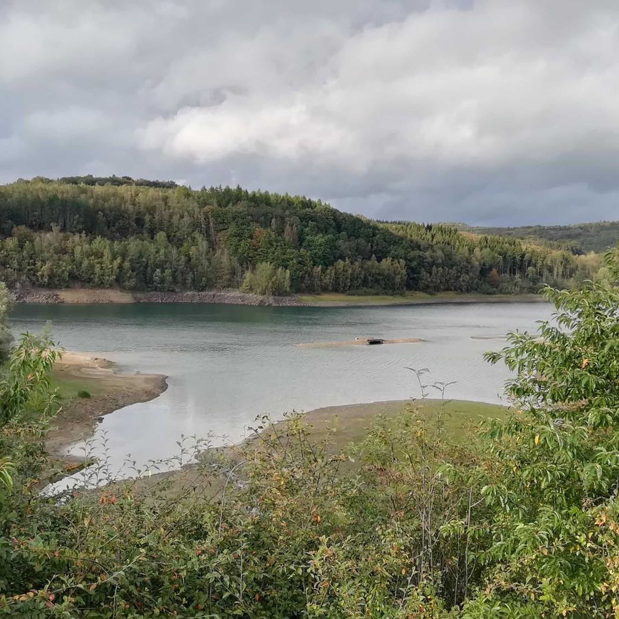
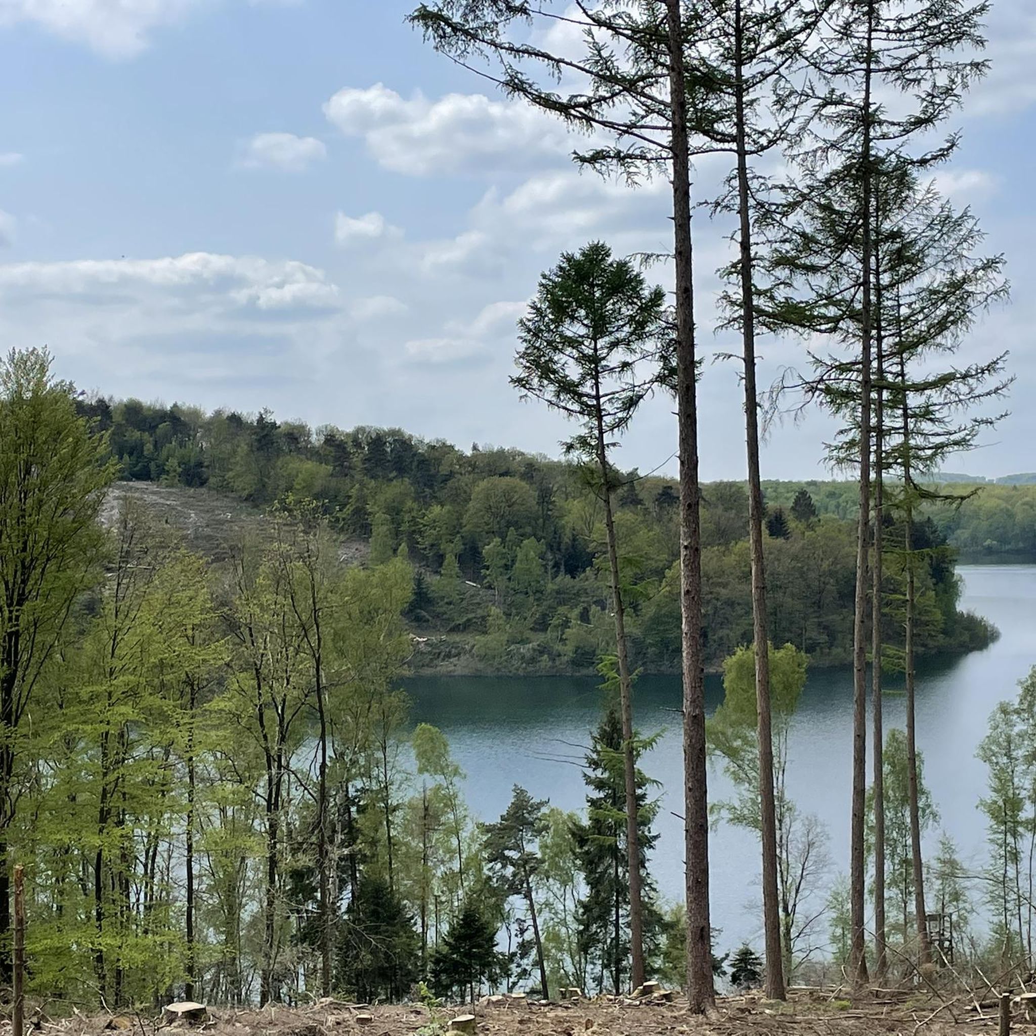
Jogging around Wiehltalsperre offers diverse natural landscapes, characterized by expansive water views from the reservoir, dense forests, and rolling hills. The region, a nature reserve in the Oberbergischer Kreis, features a network of trails winding through meadows and valleys. This environment provides varied terrain for running, from gentle paths to routes with significant elevation changes.
Best jogging routes around Wiehltalsperre
- The most popular jogging route is View of the Reservoir loop from Löffelsterz, a 15.1 miles (24.3 km) trail…
Last updated: July 15, 2026
22
runners
24.3km
02:37
380m
380m
Hard run. Very good fitness required. Mostly paved surfaces. Suitable for all skill levels.
4.9
(7)
25
runners
5.25km
00:34
80m
80m
Moderate run. Good fitness required. Mostly paved surfaces. Suitable for all skill levels.

Sign up for free
5.0
(2)
13
runners
7.11km
00:46
130m
130m
Moderate run. Good fitness required. Mostly paved surfaces. Suitable for all skill levels.
7
runners
17.1km
01:52
240m
240m
Hard run. Very good fitness required. Mostly paved surfaces. Suitable for all skill levels.
5
runners
6.03km
00:38
70m
70m
Moderate run. Good fitness required. Mostly paved surfaces. Suitable for all skill levels.
Get access to more routes and recommendations from other explorers.
Sign up for free
Already have an account?
Our route recommendations are based on thousands of hikes, rides, and runs completed by other people on komoot.
Start today with a free account
Your next adventure awaits.
Login or Signup


Other adventures around Wiehltalsperre

Tips from the Community

Due to the dense forest in the protective strip surrounding the drinking water reservoir, the water is rarely visible through the leaves in summer. There is a gap at this point....
0
0

Basically, I find the Wiehltalsperren trails very suitable for training. The advantage of these routes is that you can gradually build up and expand your (training) skills. I can already run/walk 3 km, I can already run/walk 4 km, I can already run/walk 5 km, etc. The elevation gain is really manageable. And if you have your mountain bike with you, you won't miss out either. 😉 The ideal circular trails for your New Year's resolutions! 😊 Simple hikes and walks are of course also possible. Everyone is different.
1
0

The Wiehl Dam in the Oberbergischer Kreis is the largest dam in the Agger Association and is used to supply drinking water. The area is characterized by a diverse flora and fauna, and there is a well-developed network of paths provided by the forestry administration, including guided hikes and viewpoints such as the Auchel Fjord and the viewpoint on Krombacher Island.
1
0

Simple round
0
0


Here on this small street you can go for a nice relaxed walk. In the direction of the village, you can also turn left at the chapel beforehand and then walk into a field path, which also offers a beautiful view.
0
0

Frequently Asked Questions
How many running routes are available around Wiehltalsperre?
The Wiehltalsperre area offers a wide selection of running trails, with over 330 routes available on komoot. These range from easy, shorter loops to more challenging, longer runs, ensuring options for all fitness levels.
What types of terrain can I expect on the jogging trails?
The terrain around Wiehltalsperre is quite varied, characterized by expansive water views of the reservoir, dense forests, meadows, and rolling hills. You'll find a well-developed network of paved hiking and running trails, making for a refreshing and scenic running experience.
Are there running routes suitable for beginners or those looking for an easy run?
Yes, Wiehltalsperre has many options for all fitness levels. There are 40 easy routes available, including shorter loops with minimal elevation gain, perfect for beginners or a relaxed jog. For example, the Running loop from Löffelsterz is a moderate 5.3 km trail that can be completed in about 33 minutes.
What do other runners enjoy most about the trails in Wiehltalsperre?
The running trails around Wiehltalsperre are highly rated by the komoot community, with an average score of 4.4 stars from over 500 reviews. Runners frequently praise the beautiful natural scenery, the tranquil atmosphere, and the diverse network of trails that cater to various fitness levels.
Are there any challenging routes for experienced runners?
Absolutely. For those seeking a more rigorous challenge, Wiehltalsperre offers 45 difficult routes. These often extend over 15 kilometers with significant elevation changes. A notable example is the View of the Reservoir loop from Löffelsterz, a demanding 24.3 km path with substantial elevation changes.
Can I find circular running routes around the reservoir?
Yes, many of the running routes around Wiehltalsperre are circular, allowing you to start and end at the same point while enjoying varied scenery. The View of the Reservoir loop from Schemmerhausen is a popular 11.8 km circular trail offering scenic views.
Are there any points of interest or viewpoints along the running trails?
While the primary attraction is the natural beauty of the reservoir and its surrounding nature reserve, many routes offer picturesque panoramic views of the dam and the landscape, often from elevated points. Some trails also pass by shelters or cafes, providing opportunities for rest and refreshment.
Are the running routes suitable for families with children?
Yes, the region offers easy, shorter loops that are suitable for all fitness levels, including families. These paths allow everyone to enjoy the beautiful natural surroundings without requiring extensive fitness. Look for routes marked as 'easy' on komoot.
Is it possible to bring dogs on the running trails?
The area around Wiehltalsperre is a nature reserve. While many trails are generally accessible, it's always recommended to keep dogs on a leash to protect the local flora and fauna. Please check local regulations for specific restrictions within certain protected zones.
Are there places to rest or get refreshments along the routes?
Some trails incorporate points like a 'Shelter at the Wiehl Reservoir' or the 'Nespener Mill and Mill Café,' offering convenient places for rest and refreshment during your run. These spots are great for a short break.
What is the best time of year to go running in Wiehltalsperre?
The Wiehltalsperre region is beautiful year-round. Spring and autumn offer pleasant temperatures and vibrant natural colors, while summer provides lush greenery. Even in winter, the well-maintained paths can be suitable for running, offering a serene experience.
Are there options for public transport to reach the running trails?
While the region is primarily accessed by car, some areas may be reachable by local public transport. It's advisable to check local bus schedules and routes to specific starting points for the most up-to-date information on public transport options.
Most popular routes around Wiehltalsperre

Get inspired with the komoot mobile app


Explore more
Browse the best Running Trails & Routes in other regions.
