The best road cycling routes around Brisbane
4.7
(267)
12,420
riders
172
rides
Road cycling routes around Brisbane benefit from an extensive network of over 1,200 kilometers of bikeways, including dedicated lanes, shared paths, and off-road trails. The city's landscape offers diverse experiences, from flat, scenic rides along the Brisbane River and Moreton Bay foreshores to challenging climbs in areas like Mount Coot-tha and D'Aguilar National Park. This infrastructure supports a wide array of road cycling, catering to various skill levels and preferences across urban, riverine, and elevated terrains.
Best road cycling routes around Brisbane
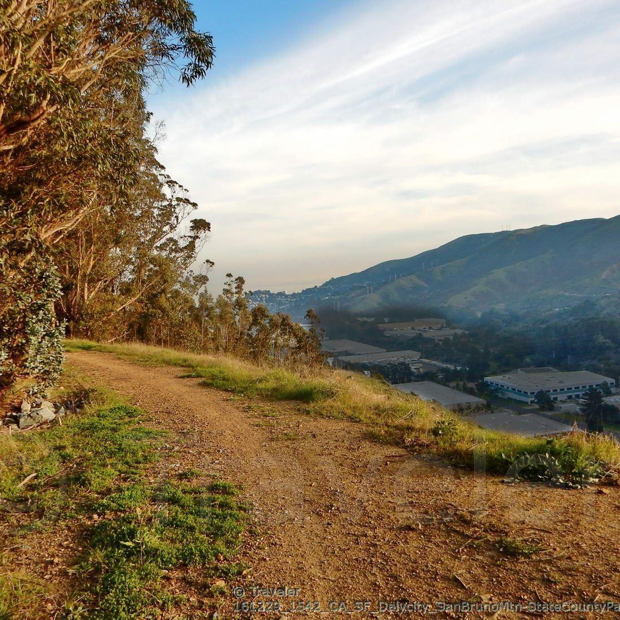
- The most popular road cycling route is San Bruno Mountain Summit Loop, a 7.9 miles (12.8 km) trail that takes 50 minutes to complete. This moderate route features a significant elevation gain, offering panoramic views.
- Another top favourite among local road cyclists is Golden Gate Bridge – Baker-Barry Tunnel loop from Bernal Heights, a moderate 27.9 miles (44.9 km) path. This route includes varied terrain with notable elevation changes and scenic coastal sections.
- Local road cyclists also love the Brisbane Lagoon – Guadelupe Canyon Parkway loop from South San Francisco, an 18.5 miles (29.8 km) trail leading through urban and natural landscapes, often completed in about 1 hour 41 minutes.
- Road cycling around Brisbane is defined by extensive bikeway networks, river loops, and challenging climbs to viewpoints. The network offers options for different ability levels, from leisurely rides to demanding ascents.
- The routes in Brisbane are highly rated by the komoot community with an average score of 4.7 stars from over 230 reviews. More than 13,000 road cyclists have used komoot to explore Brisbane's varied terrain.
Last updated: October 10, 2026
8
riders
12.8km
00:50
340m
340m
Moderate road ride. Good fitness required. Mostly well-paved surfaces and easy to ride.
5.0
(1)
130
riders
38.2km
01:43
210m
210m
Moderate road ride. Great for any fitness level. Some segments of this route may be unpaved and difficult to ride.

4.5
(2)
83
riders
Moderate road ride. Good fitness required. Mostly well-paved surfaces and easy to ride.
5.0
(3)
50
riders
29.8km
01:41
380m
380m
Moderate road ride. Good fitness required. Mostly well-paved surfaces and easy to ride.
32
riders
29.6km
01:41
120m
120m
Easy road ride. Great for any fitness level. Mostly well-paved surfaces and easy to ride.
Get access to more routes and recommendations from other explorers.
Already have an account?
Our route recommendations are based on thousands of hikes, rides, and runs completed by other people on komoot.
Start today with a free account
Your next adventure awaits.
Tips from the Community

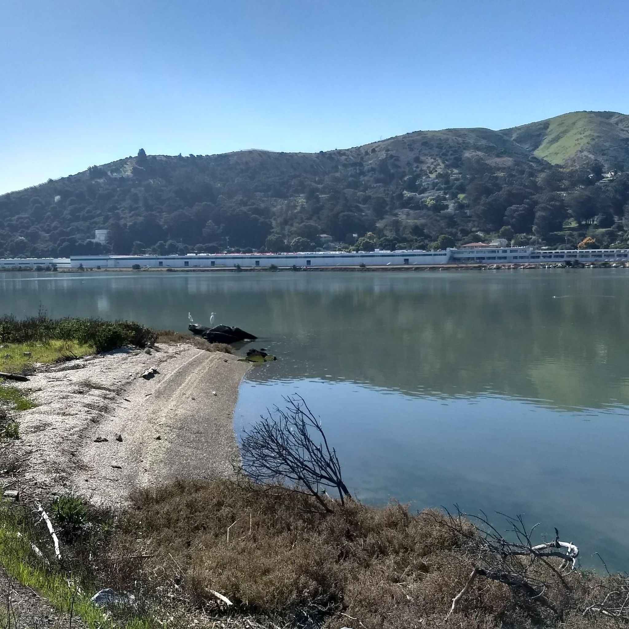
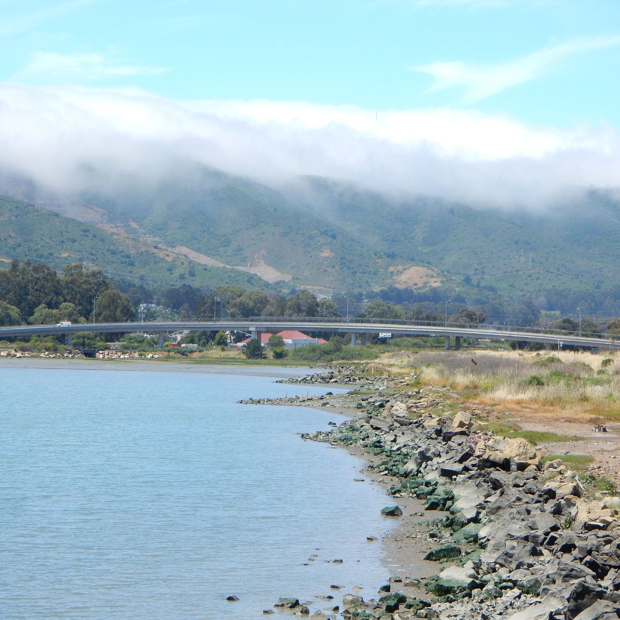
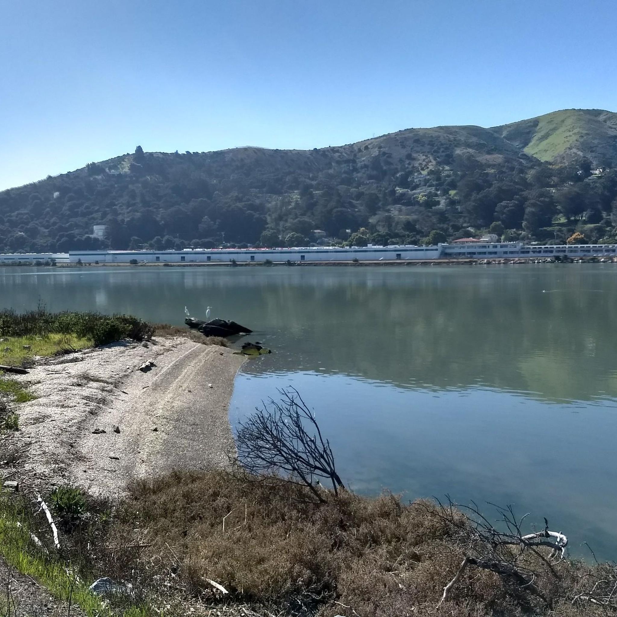
The road along the lagoon has wide cycle paths on both sides and low traffic into Oyster Park. It is however exposed to high winds so take care when riding. Smooth road right by the clear water in the shadow of Mt. Bruno make for a great bypass between SF and South SF that avoids the high traffic Bayshore Blvd and the hill.
0
0

Top notch boke and pedestrian path with cool breezes and blue views. When it's too busy due to pedestrains, you can ride on the road that parallels below the path, it's quiet.
0
0

Spectacular summit overlook of the city and across the San Francisco Bay at the end of the paved Radio Road
0
0

The sculpture depicts "living-giving science" according to its artist, Marco Cochrane. It stands 24 feet tall, and was erected in front of biotech company Genesis Towers in 2020 to represent their mission. It shows a man and woman standing on top of a DNA strand, holding their hands in the shape of a heart.
1
0

This paved lot has a few parking spots that are designated for trail users. There is no water or restrooms available.
0
0

This 2,400-acre park stands as an oasis of open space, right on the fringes of San Francisco. The highest point of the ridge is just over 1,300 feet (almost 400 meters) in elevation, and the views are great!
2
2
This section of the pedway heads east and ties into the Bay Trail. There are lots of access points, and a fascinating difference in views as you'll generally find urban life on one side of the trail, with natural landscapes and wildlife on the other side.
0
0

The annual New Year’s Eve celebration with fireworks takes place here at the Fährhaus.
2
1
Frequently Asked Questions
How many road cycling routes are available in Brisbane?
Brisbane offers a wide variety of road cycling experiences, with over 170 routes documented on komoot. These routes cater to all skill levels, from leisurely rides to challenging climbs, leveraging the city's extensive network of bikeways.
What do other road cyclists say about the routes in Brisbane?
The road cycling routes in Brisbane are highly regarded by the komoot community, holding an impressive average rating of 4.7 stars from over 230 reviews. Cyclists frequently praise the diverse terrain, scenic views, and the well-maintained bikeway network.
Are there challenging road cycling routes with significant climbs in Brisbane?
Yes, for those seeking a challenge, Brisbane offers routes with substantial elevation gain. The San Bruno Mountain Summit Loop is a moderate route with significant elevation. More seasoned cyclists can explore areas like Mount Coot-tha, known for its demanding climbs and panoramic city views, or venture into D'Aguilar National Park for extensive routes with considerable elevation.
Are there easy or family-friendly road cycling options in Brisbane?
Absolutely. Brisbane's extensive bikeway network includes many easy and flat routes suitable for families and casual riders. Options like the Sandgate and Wynnum foreshores offer scenic rides along Moreton Bay. The city also features numerous shared paths and dedicated bike lanes, such as sections of the Bicentennial Bikeway, which are ideal for a relaxed pace.
What scenic attractions or viewpoints can I expect on road cycling routes around Brisbane?
Many routes offer stunning views and pass by notable attractions. For instance, the Brisbane River Loop showcases city views and passes through key districts. You can also find routes that lead to viewpoints like the Mount Coot-tha Lookout, offering breathtaking panoramas. Some routes may also pass by natural monuments such as San Bruno Mountain State & County Park or urban landmarks like Union Square and the Ferry Building.
Are there routes that follow the Brisbane River or offer coastal views?
Yes, the Brisbane River is central to many cycling experiences. The popular Brisbane River Loop follows the river, providing city views. The Bicentennial Bikeway also runs along the river, connecting to other pathways. For coastal views, routes along the Sandgate and Wynnum foreshores offer flat, scenic rides along Moreton Bay.
Can I find routes that pass by waterfalls or natural monuments?
While the immediate city routes focus on urban and riverine landscapes, the broader Brisbane region, including areas like Lamington National Park and Springbrook National Park (a short drive away), is known for its stunning waterfalls and rainforests. Within the city's vicinity, you might encounter natural features like the Golden Gate Park Waterfall or the Fairy Gates Spring ⛲️ Mount Sutro.
How extensive is Brisbane's bikeway network?
Brisbane boasts an extensive cycling infrastructure, featuring over 1,200 kilometers of bikeways. This network includes dedicated bike lanes, shared paths, and off-road trails, ensuring excellent connectivity and diverse riding environments across the city and its surrounding areas. For more detailed information on Brisbane's bikeways, you can visit the official city council website: Brisbane Bikeways.
What is the best time of year for road cycling in Brisbane?
Brisbane generally offers pleasant cycling conditions year-round due to its subtropical climate. However, the cooler, drier months from April to October are often considered ideal, with comfortable temperatures and less humidity. Summers can be hot and humid, but early morning rides are still very popular.
Are there loop routes available for road cycling in Brisbane?
Yes, many road cycling routes in Brisbane are designed as loops, offering convenient starting and ending points. Popular examples include the Brisbane River Loop and the Golden Gate Bridge – Baker-Barry Tunnel loop from Bernal Heights, which provides varied terrain and scenic sections. Loop routes are excellent for exploring without needing to retrace your path.
Can I find routes that are suitable for long-distance road cycling?
Brisbane caters to long-distance cyclists with several extensive routes. Beyond the city's core, you can find epic rides like the Mount Coot-tha, Mount Nebo & Mount Glorious Loop, which covers over 116 kilometers with significant elevation through D'Aguilar National Park. The South East Coastal Loop also offers a longer ride through bayside towns.
Are there cafes or pubs conveniently located along Brisbane's cycling routes?
Yes, Brisbane's cycling culture is well-supported by numerous cafes and pubs, especially along popular routes like the Brisbane River Loop and those passing through districts like South Bank, Milton, and Toowong. Many bikeways also connect to areas with amenities, making it easy to find a refreshment stop during your ride.
Most popular attractions around Brisbane

Get inspired with the komoot mobile app


Explore more
Browse the best Road cycling routes in other regions.
