The best road cycling routes around East Palo Alto
4.6
(383)
14,532
riders
211
rides
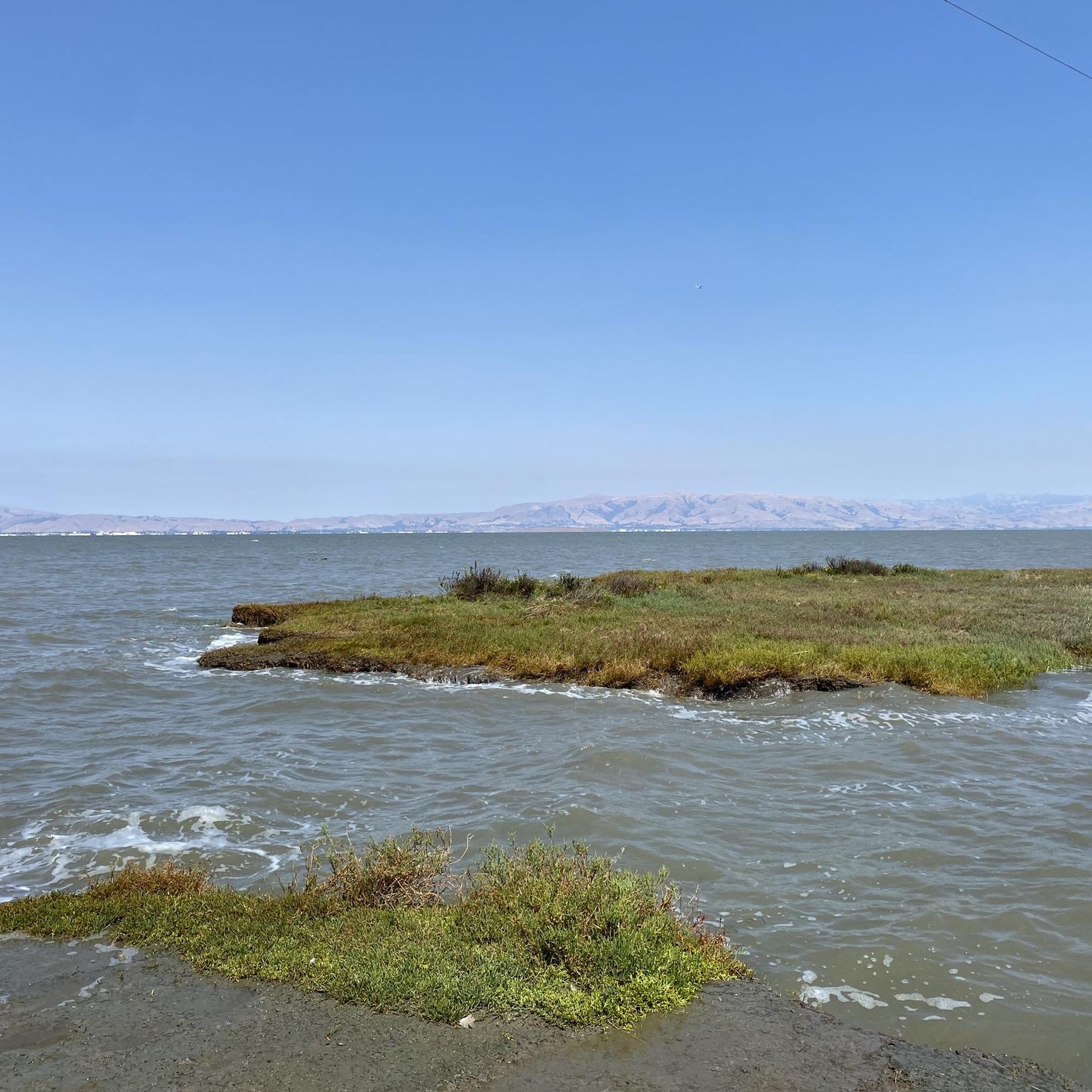
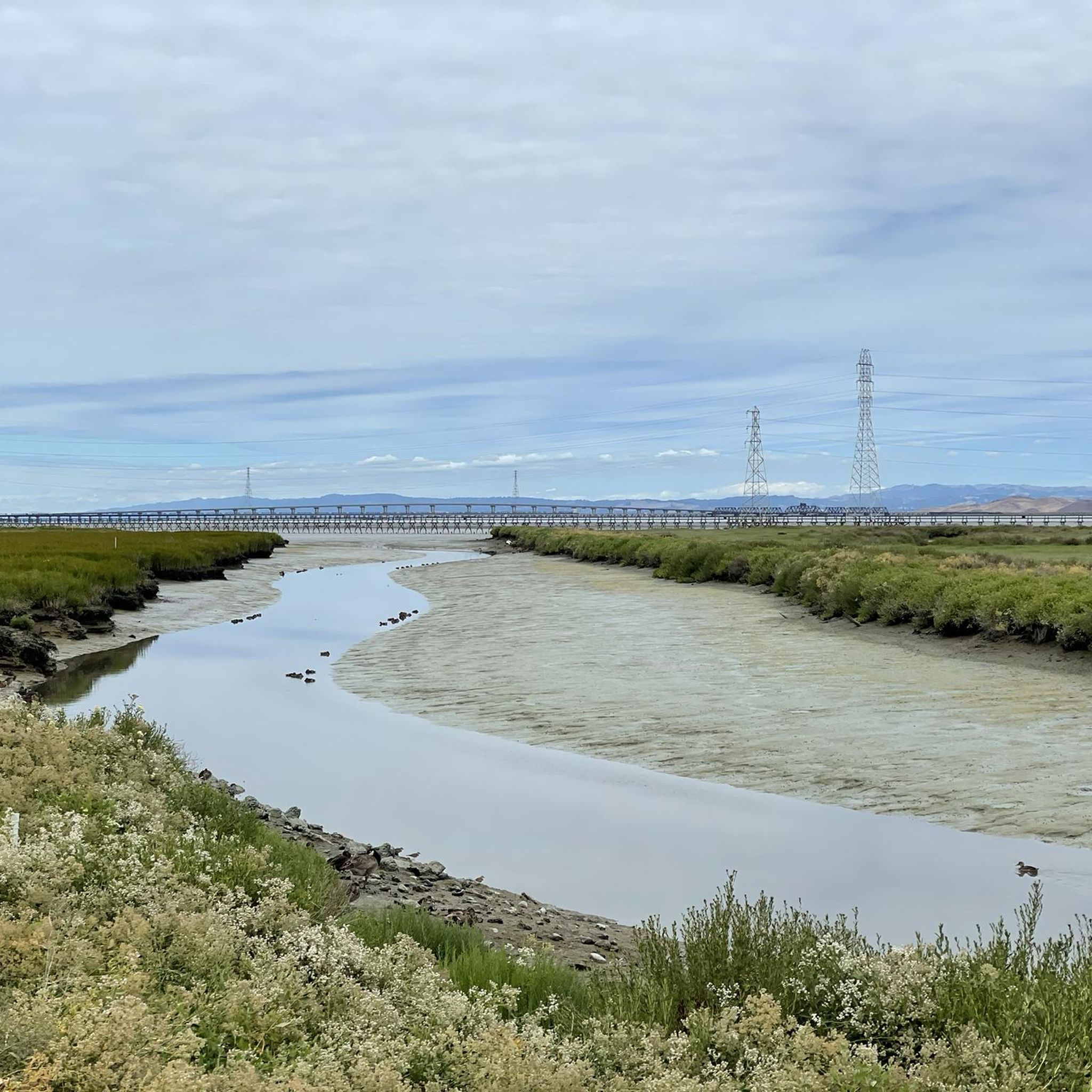
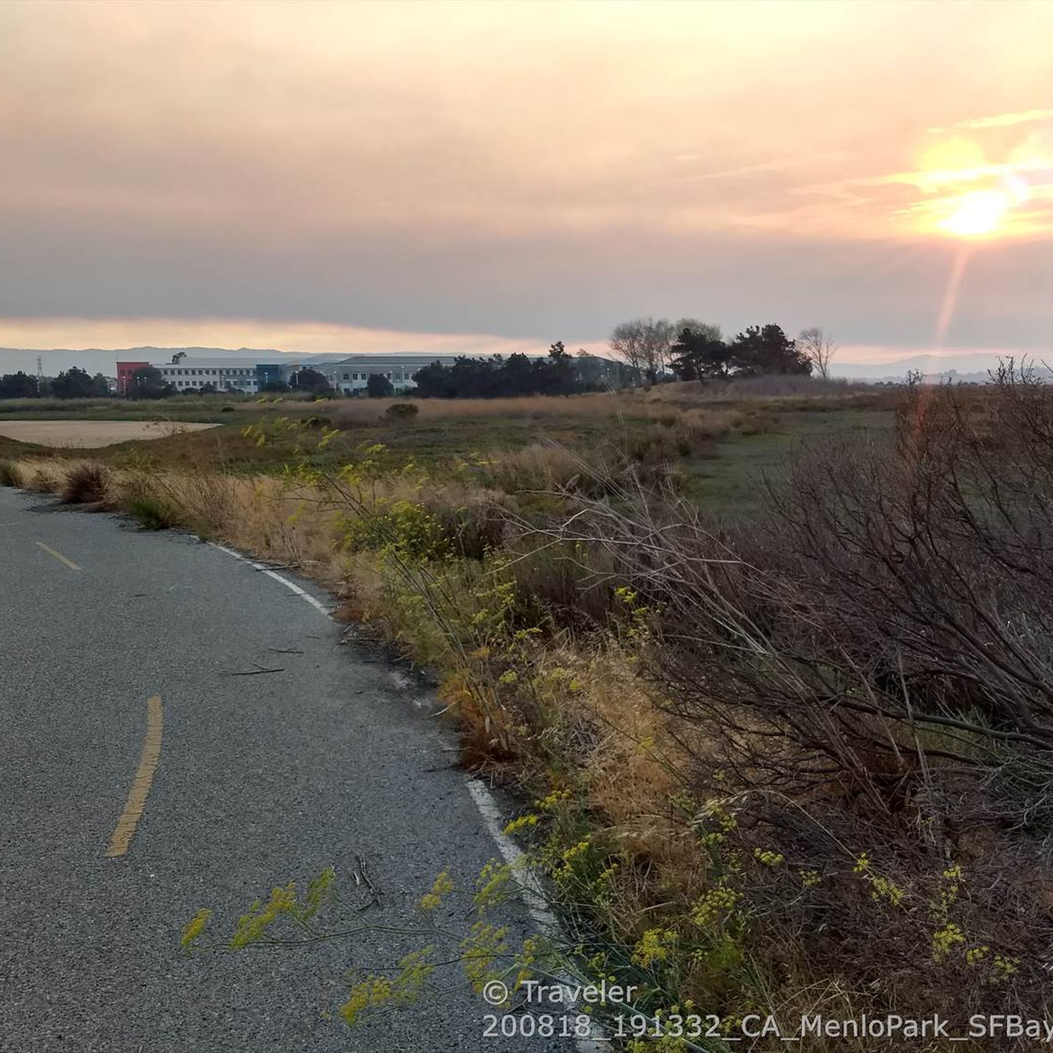
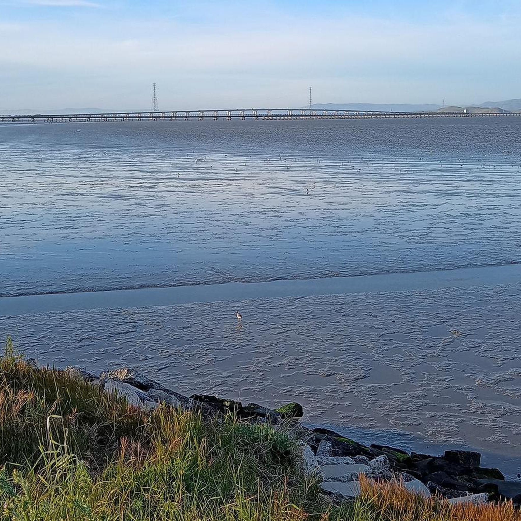
Road cycling around East Palo Alto features a diverse landscape, from flat bayfront trails and marshlands along the San Francisco Bay to more challenging routes with elevation gain in nearby hills. The region's proximity to the Bay Trail offers extensive, mostly flat, traffic-free paths. Cyclists can also access routes that climb into areas like Portola Valley, Los Altos, and towards La Honda and Kings Mountain Road. This varied terrain provides options for different skill levels and preferences.
Best road cycling routes around East Palo Alto
- The most popular road cycling route is Old La Honda & Kings Mountain loop from Palo Alto, a 74.7 miles (120.2 km) trail that takes 6 hours 10 minutes to complete. This difficult route includes significant climbs through forested areas.
- Another top favourite among local road cyclists is Stevens Creek Reservoir Loop, a difficult 40.6 miles (65.4 km) path. This route offers views of the reservoir and surrounding hills.
- Local road cyclists also love the Old La Honda & Woodside loop from Palo Alto, a 27.5 miles (44.3 km) trail leading through varied terrain, often completed in about 2 hours 19 minutes.
- Road cycling around East Palo Alto is defined by bayfront trails, marshlands, and nearby hills. The network offers options for easy, flat rides as well as more challenging climbs.
- The routes in East Palo Alto are highly rated by the komoot community with an average score of 4.7 stars from over 300 reviews. More than 13,000 road cyclists have used komoot to explore East Palo Alto's varied terrain.
Last updated: September 29, 2026
5.0
(3)
338
riders
120km
06:10
2,100m
2,100m
The Old La Honda & Kings Mountain loop offers a quintessential Northern California road cycling experience, plunging you into the heart of the Santa Cruz Mountains. You'll climb through a stunning progression of landscapes, from sun-drenched oak woodlands to the cool, misty embrace of ancient redwood groves, especially along the famed Old La Honda Road. The route is a continuous journey of ascents and descents, with narrow, winding roads that feel far removed from urban life, occasionally revealing expansive viewpoints of the San Francisco Bay.
This difficult 74.7-mile (120.2 km) loop demands good fitness, featuring 6887 feet (2099 metres) of elevation gain and an estimated duration of 6 hours and 9 minutes. While there are no specific parking instructions, starting from Palo Alto provides convenient access to this challenging ride. It's advisable to carry sufficient water and snacks, as amenities are sparse along much of the route, though the "Bike Hut" on Tunitas Creek Road can be a welcome stop if your route includes it.
Old La Honda Road is particularly notable as a benchmark climb, attracting national-caliber riders and serving as a local proving ground. Both Old La Honda and Kings Mountain roads are celebrated for their consistent grades and excellent pavement, making them a favorite among advanced road cycling climbs near Palo Alto. The combination of a rigorous workout with serene, beautiful surroundings makes this loop a standout among Palo Alto road cycling popular routes.
4.5
(8)
263
riders
65.4km
03:19
1,060m
1,060m
The Stevens Creek Reservoir Loop offers a diverse road cycling adventure through the Santa Cruz Mountains foothills. You'll wind past the tranquil waters of Stevens Creek Reservoir, climb through varied woodlands, and enjoy views of wineries from higher elevations. Expect a mix of well-paved roads and significant elevation changes, including the notable Mt. Eden Road climb, making for a rewarding and scenic ride.
Planning your Stevens Creek Reservoir Loop road cycling trip is straightforward, though a few points are worth noting. Parking is typically available at the Chestnut Parking Lot, but be prepared for potential fees. If you're riding on a weekday, be mindful of quarry trucks on Stevens Canyon Road, which can increase traffic in that area. An early start is recommended to fully appreciate the tranquil atmosphere.
This difficult 40.6-mile (65.4 km) road cycling route features a substantial 3468 feet (1057 metres) of elevation gain, taking approximately 3 hours and 18 minutes. It's an excellent choice for advanced cyclists seeking a challenging workout and varied terrain. The route transitions from lush creekside paths along Stevens Creek to open vistas, showcasing the natural beauty of Santa Clara County.

4.6
(12)
228
riders
44.3km
02:19
790m
790m
The Old La Honda & Woodside loop from Palo Alto offers a quintessential Bay Area road cycling experience, winding through serene redwood groves and past suburban oak woodlands. The highlight is the consistent, challenging climb up Old La Honda Road, a peaceful ascent that rewards you with a sense of accomplishment and a fast descent. You'll find yourself immersed in natural beauty, far from the city bustle, making it a favorite among local riders.
This moderate 27.5-mile (44.3 km) route features a significant 2578 feet (786 metres) of elevation gain, typically taking around 2 hours and 19 minutes to complete. The road surface is generally well-maintained, and traffic is light, ensuring a smooth and enjoyable ride. It's a fantastic option for cyclists looking to push their limits on a benchmark climb without an overly punishing gradient.
Old La Honda Road is famously known as a
4.8
(10)
642
riders
57.7km
02:32
530m
530m
Moderate road ride. Good fitness required. Mostly well-paved surfaces and easy to ride.
4.6
(44)
704
riders
38.8km
01:41
370m
370m
Moderate road ride. Good fitness required. Mostly well-paved surfaces and easy to ride.
Get access to more routes and recommendations from other explorers.
Already have an account?
Our route recommendations are based on thousands of hikes, rides, and runs completed by other people on komoot.
Start today with a free account
Your next adventure awaits.
Tips from the Community

A fun, pretty place to stop while riding Cañada road. I has water and an air pump and bathrooms. Take a photo with friends.
0
0

Alise’s Restaurant is a popular spot for both cyclists and motorcyclists. The food is good, the staff is known for being friendly, and the place has a laid-back, welcoming vibe—perfect for a post-ride meal or coffee break.
1
0

This mostly paved bike trail alongside Alpine Road is great for bike commuting — just don't run over any slower trail users! The trail runs all the way from Portola Valley to Stanford, offering some nice shade along the way. The brief moments of unpaved trail are near the Portola Valley end.
0
0
You're not hallucinating: This monument was deliberately built in the style of ancient Greek and Roman architecture, to commemorate the Great Depression-era Hetchy Hetchy Project that brought water down from the mountains to the Bay Area. The frieze says, “I give waters in the wilderness and rivers in the desert, to give drink to my people.”
1
0

Didn’t OLR used to turn into Dirt before reaching Skyline? Is it all pavement now?? Scott
0
0

Stevens Creek Reservoir spans 87 acres and is surrounded by a 1,063-acre park. Visitors can enjoy hiking, horseback riding, picnicking, and limited fishing. Seasonal boating for low-power boats is available from mid-April to mid-October. The park is open daily from 8 a.m. to sunset, with vehicle entry fees collected year-round at the Chestnut Parking Lot. Visitors can explore natural beauty and historic remnants like the Villa Maria orchard.
1
0

This winding side road is very lightly trafficked and carries you between Stanford and the Palo Alto hills with partial shade the entire way. On the east side of the road you will find Frenchman's Tower, and old brick landmark.
0
0
The Crystal Springs Regional Trail is a top spot for cyclists, featuring mostly paved paths with minimal car traffic. The trail runs through scenic areas like Lower Crystal Springs Reservoir, offering beautiful lake views. On Sundays, you can ride the car-free Cañada Road segment for a more relaxed experience. Be mindful of the 15 mph speed limit, especially around hikers. The Sawyer Camp segment provides a gentle descent and stunning views, perfect for an easy ride through woodlands and along the reservoir.
0
1
Frequently Asked Questions
How many road cycling routes are available around East Palo Alto?
There are over 200 road cycling routes available around East Palo Alto, catering to various preferences and skill levels. You can find a diverse selection, from flat bayfront trails to more challenging climbs in the nearby hills.
What kind of terrain can I expect on road cycling routes in East Palo Alto?
East Palo Alto offers a diverse cycling landscape. You'll find mostly flat bayfront trails and marshlands along the San Francisco Bay, which are ideal for easy rides. For those seeking more challenge, routes extend into nearby hills like Portola Valley and Los Altos, offering significant elevation gain and forested areas.
Are there easy or family-friendly road cycling routes in the area?
Yes, East Palo Alto is well-suited for easy and family-friendly road cycling, particularly along the San Francisco Bay Trail and within preserves like Bedwell Bayfront Park and Ravenswood Open Space Preserve. These areas offer mostly flat, traffic-free paths with scenic views, perfect for a relaxed ride. There are over 90 easy routes available.
Where can I find challenging road bike climbs near East Palo Alto?
For challenging climbs, you'll want to explore routes that venture into the hills surrounding East Palo Alto. Routes like the Old La Honda & Kings Mountain loop from Palo Alto offer significant elevation gain, with over 2,000 meters of climbing through forested areas. Another difficult option is the Stevens Creek Reservoir Loop, which includes over 1,000 meters of ascent.
What natural features or landmarks can I see while cycling around East Palo Alto?
While cycling, you can enjoy diverse natural features and landmarks. The San Francisco Bay Trail offers stunning bay views and marshlands, ideal for birdwatching. You might pass through Bedwell Bayfront Park, Ravenswood Open Space Preserve, or even catch a glimpse of the Dumbarton Bridge. The Palo Alto Baylands Nature Preserve, adjacent to East Palo Alto, also provides extensive trails through tidal and freshwater habitats.
What is the best time of year for road cycling in East Palo Alto?
The East Palo Alto region enjoys ideal weather for biking most of the year, making it a great destination for year-round road cycling. The mild climate ensures comfortable riding conditions across many seasons.
Are there circular road cycling routes available?
Yes, many road cycling routes around East Palo Alto are designed as loops, allowing you to start and end at the same point. Examples include the Old La Honda & Woodside loop from Palo Alto and the Manzanita Way – Portola Valley loop from Menlo Park, offering varied distances and difficulties.
Is parking available near the cycling routes in East Palo Alto?
Yes, parking is generally available near popular access points for cycling routes, especially at parks and preserves like Ravenswood Open Space Preserve and Bedwell Bayfront Park. Many routes also start from nearby towns like Palo Alto, where parking options can be found.
How can I access the cycling trails using public transport?
East Palo Alto is actively working to improve its bicycling infrastructure, and its flat terrain makes cycling an efficient way to connect to nearby employment centers and public transit. While specific public transport connections to trailheads vary, the region's focus on multi-modal access means you can often combine cycling with public transport options to reach your starting point.
What do other road cyclists enjoy most about road cycling in East Palo Alto?
The road cycling routes around East Palo Alto are highly rated by the komoot community, with an average score of 4.7 stars from over 300 reviews. Cyclists often praise the diverse terrain, from the scenic bayfront trails to the challenging climbs in the hills, and the opportunities for birdwatching and enjoying nature.
Are there any specific permits required for cycling on trails in East Palo Alto?
Generally, no specific permits are required for road cycling on the public trails and roads around East Palo Alto, including sections of the San Francisco Bay Trail and within open space preserves. These areas are typically open for recreational use.
Can I find less crowded road biking options in East Palo Alto?
While popular sections of the Bay Trail can see more activity, the extensive network of over 200 routes means you can often find quieter roads and trails, especially if you explore routes further into the hills or during off-peak hours. The variety allows for different experiences, from bustling bayfront paths to more secluded climbs.
Most popular attractions around East Palo Alto

Get inspired with the komoot mobile app


Explore more
Browse the best Road cycling routes in other regions.
