The best road cycling routes around Pacifica
4.8
(107)
5,158
riders
100
rides
Road cycling routes around Pacifica are characterized by dramatic coastal landscapes, diverse terrain, and significant elevation changes. The region features a mix of rocky bluffs, sandy beaches, and prominent hills like Montara Mountain, offering varied riding experiences. Cyclists can explore coastal paths, forested sections, and routes with expansive ocean views. This area provides a range of challenges from smooth bike paths to routes with considerable climbs.
Best road cycling routes around Pacifica
- The most popular road cycling route is Gray…
Last updated: September 29, 2026
21
riders
Moderate road ride. Good fitness required. Some segments of this route may be unpaved and difficult to ride.
5.0
(1)
23
riders
28.5km
01:31
410m
410m
Moderate road ride. Good fitness required. Mostly well-paved surfaces and easy to ride.

5.0
(1)
22
riders
25.2km
01:17
230m
230m
Moderate road ride. Great for any fitness level. Some segments of this route may be unpaved and difficult to ride.
12
riders
87.3km
04:18
1,200m
1,200m
Hard road ride. Very good fitness required. Mostly well-paved surfaces and easy to ride.
5.0
(2)
20
riders
49.2km
02:35
800m
800m
Moderate road ride. Good fitness required. Mostly well-paved surfaces and easy to ride.
Get access to more routes and recommendations from other explorers.
Already have an account?
Our route recommendations are based on thousands of hikes, rides, and runs completed by other people on komoot.
Start today with a free account
Your next adventure awaits.




Tips from the Community


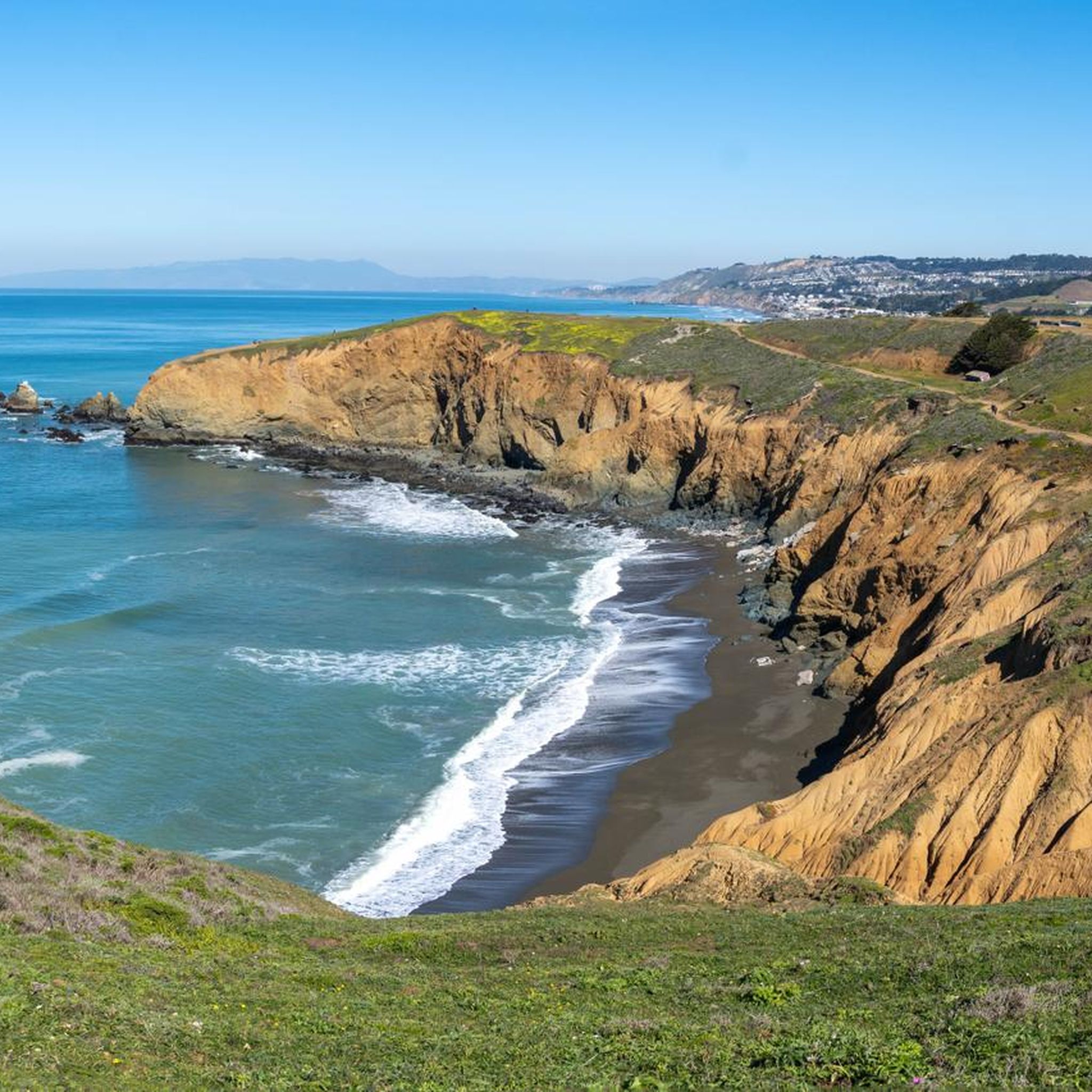
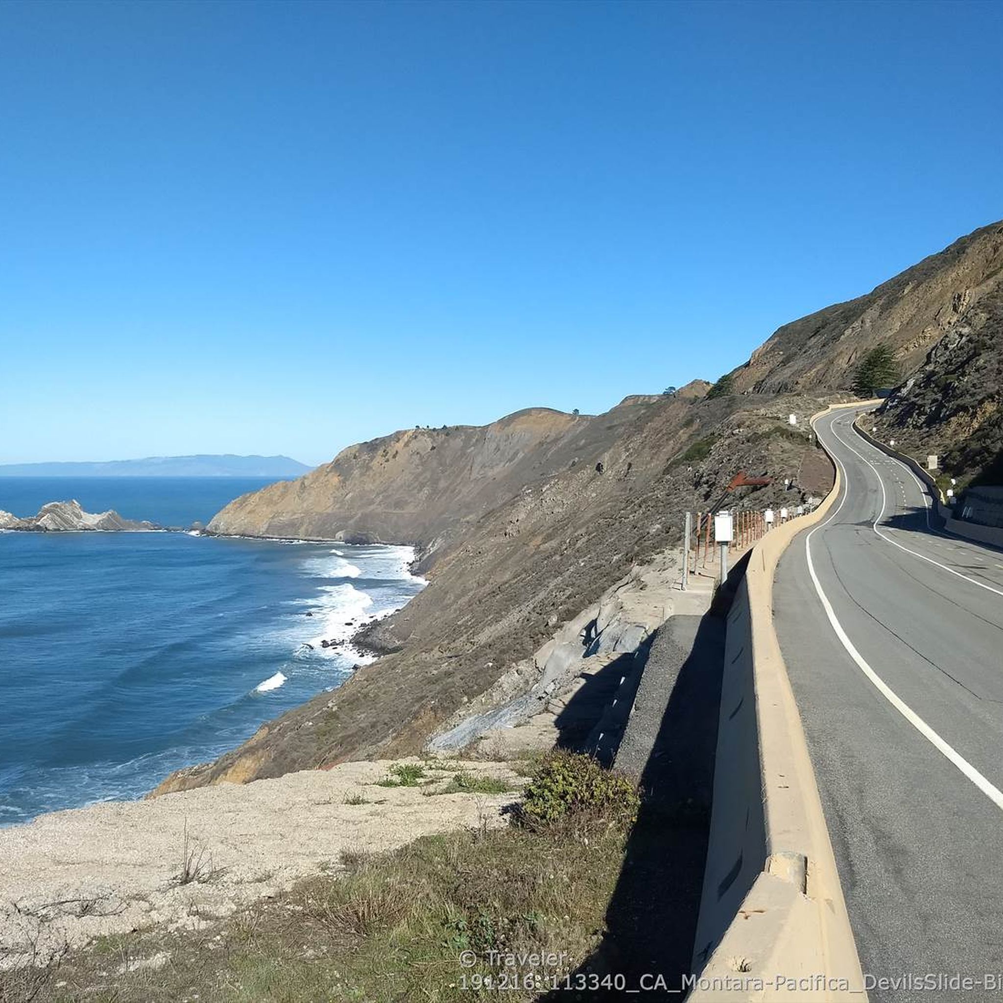
Devils slide itself is nice and just to the south is the beautiful Gray Whales Cove beach. There is plenty of parking at both places. Two notes for cyclist: 1. cycling along Hwy 1, coming from Pacifica, requires climbing on a relatively narrow but highly frequented road. It is not a long climb until the turnoff to Devils slide, but it might be stressful for cyclists who are not used to riding in heavy traffic. Hwy 1 south of Devils slide has enough space for everyone. 2. If you cycle on Hwy1, then check the wind forecast beforehand. Dominant wind direction is NW, which means cycling southbound maximizes tailwind and minimizes breathing in all the air pollution from stinky cars.
0
0

Exactly what it says on the tin! The truth is that most of the trail along Half Moon Bay is nice and flat, making for an easy, casual ride with incredible views.
0
0

Skyline Boulevard, also known as State Route 35, offers a scenic drive through the majestic redwoods of the Santa Cruz Mountains and Bay Area. Winding through forests, open spaces, and mountains, this section passes by the Purisima Creek Redwoods. It's a breathtaking ride through where the redwoods meet the road.
0
0

Gray Whale Cove State Beach is a beautiful, secluded beach located nine miles north of Highway 92 along Highway 1. This 800-foot stretch of white sand is nestled in a small valley known as "Devil's Slide" and is shielded from the highway by cliffs. The beach is named for the gray whales often spotted here during their spring migration. Facilities include free day parking, chemical toilets, but no water, so keep this in mind as you ride.
0
0

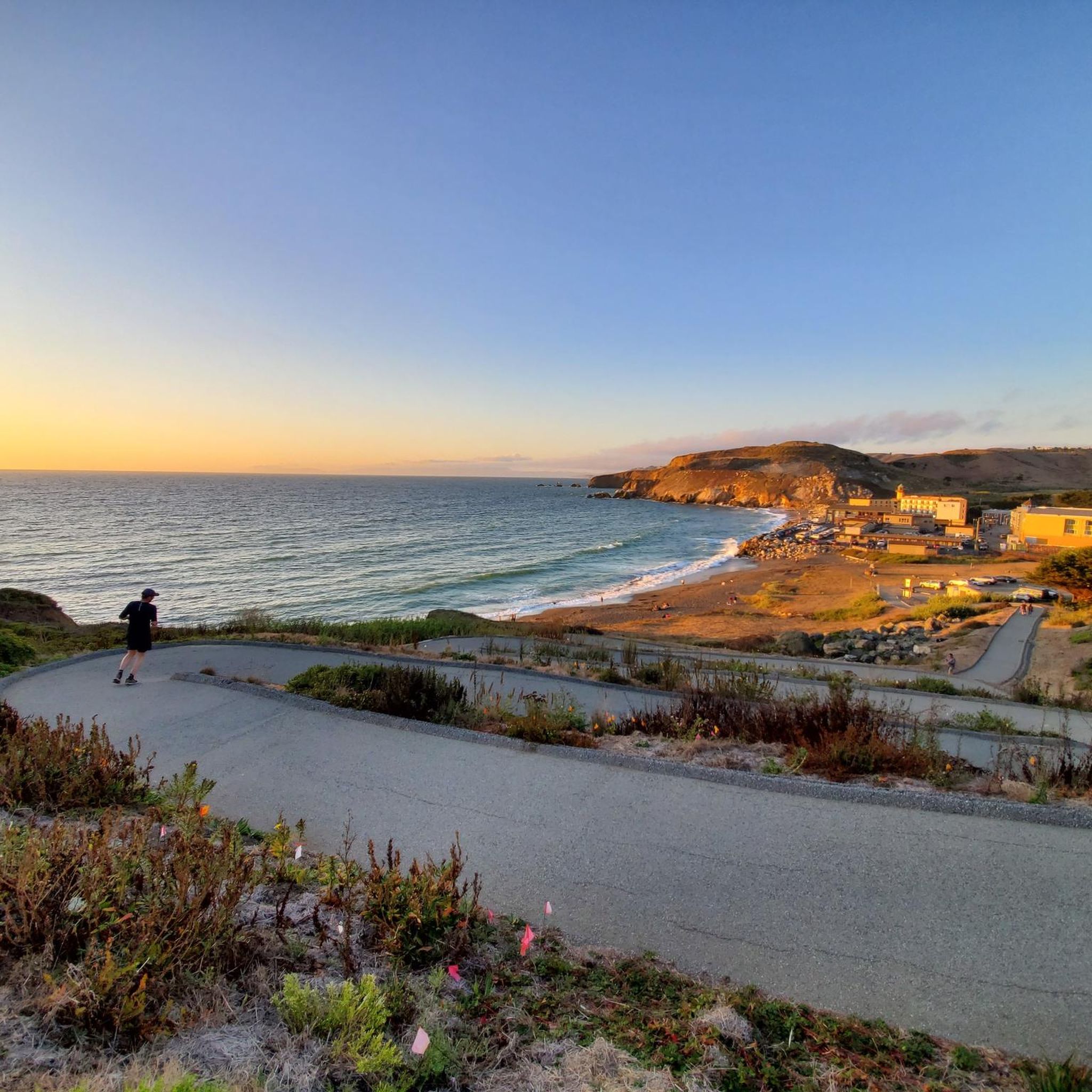
This stunning beach is a great place to see the Pacific Ocean, enjoy the amazing views and watch surfers try to catch a wave. There is a public restroom, showers and a drinking fountain here to make spending a few hours enjoying some sand between your toes a breeze.
0
0
Frequently Asked Questions
How many road cycling routes are available in Pacifica?
Pacifica offers over 10 distinct road cycling routes, catering to various skill levels. These routes are highly rated by the komoot community, with an average score of 4.5 stars.
What kind of terrain can I expect on road cycling routes in Pacifica?
Pacifica's road cycling terrain is incredibly diverse, ranging from smooth coastal paths with dramatic ocean views, such as sections of the Pacific Coast Bike Trail, to challenging routes with significant elevation gains around areas like Montara Mountain. You'll encounter rocky bluffs, sandy beaches, and even forested sections, offering a varied riding experience.
Are there any easy road cycling routes suitable for beginners or families in Pacifica?
Yes, Pacifica features several easy road cycling routes perfect for beginners or families. For instance, the Rockaway Beach – Pacific Coast Bike Trail loop from Pacifica offers a gentle ride through coastal areas. Another accessible option is the San Andrea's Lake View – San Andreas Trail loop from Milagra Ridge, providing serene views.
What are some scenic viewpoints or landmarks I can see along Pacifica's road cycling routes?
Many routes offer breathtaking views. The iconic Devil's Slide Trail, part of the Gray Whale Cove State Beach – Egg Rock — Devil's Slide loop from Milagra Ridge, provides dramatic ocean vistas. You can also enjoy views of San Andreas Lake from routes like the San Andrea's Lake View – San Andreas Trail loop, and pass by Pacifica Pier on coastal rides.
When is the best time of year to go road cycling in Pacifica?
Pacifica offers good cycling conditions year-round, but the best time is typically during the spring and fall. These seasons often provide milder temperatures and clearer skies, ideal for enjoying the coastal scenery. Summer can bring coastal fog, while winter may have more rain, though many days remain suitable for riding.
Are there any circular road cycling routes in Pacifica?
Yes, many of Pacifica's road cycling routes are designed as loops, allowing you to start and end at the same point. Examples include the popular Gray Whale Cove State Beach – Egg Rock — Devil's Slide loop from Milagra Ridge and the Sharp Park Beach – Rockaway Beach loop from Milagra Ridge, which connects two popular beaches.
What do other road cyclists enjoy most about road cycling in Pacifica?
The area is highly rated by the komoot community, with an average score of 4.5 stars from over 20 reviews. Cyclists frequently praise the dramatic coastal landscapes, the diverse terrain that offers both easy paths and challenging climbs, and the stunning ocean views, especially along the iconic Devil's Slide Trail.
Can I find cafes or pubs near the road cycling routes in Pacifica?
Yes, Pacifica has various establishments where you can refuel. Coastal routes often pass through or near areas with cafes and restaurants, particularly around Rockaway Beach and Linda Mar Beach. These spots are convenient for a break or a meal after your ride.
Are there options for longer road cycling tours starting from Pacifica?
Absolutely. Pacifica serves as an excellent starting point for longer, scenic rides. You can connect to routes that extend along the Pacific Coast Highway, offering extensive cycling opportunities south towards Half Moon Bay and beyond, or north towards San Francisco.
What are some natural features to look out for while cycling in Pacifica?
Beyond the stunning coastline, you'll encounter diverse natural features. Keep an eye out for the prominent bluff at Mori Point, the varied ecosystems of Montara Mountain, and the peaceful beauty of San Andreas Lake. During migration seasons, you might even spot gray whales from coastal vantage points like Gray Whale Cove State Beach or Pacifica Pier.
Are there any routes with significant elevation gain for more challenging rides?
Yes, Pacifica offers routes with considerable elevation gains for those seeking a challenge. Areas around Montara Mountain and Sweeney Ridge provide more demanding climbs. For example, the Gray Whale Cove State Beach – Egg Rock — Devil's Slide loop from Milagra Ridge includes over 600 meters of ascent, offering a robust workout with rewarding views.
Most popular routes around Pacifica
Most popular attractions around Pacifica

Get inspired with the komoot mobile app


Explore more
Browse the best Road cycling routes in other regions.
