The best MTB trails around Los Altos
4.7
(109)
960
riders
92
rides
Mountain biking around Los Altos offers a diverse landscape of rolling hills, wooded trails, and open spaces. The region features a network of paths that traverse natural preserves and county parks, providing varied terrain for mountain bikers. These trails often follow creek beds and climb to viewpoints, showcasing the natural environment of the Bay Area. The area's topography includes both gentle slopes and more challenging ascents, catering to different skill levels.
Best mountain bike trails around Los Altos
- The most popular mountain bike trail is Indian Creek Trail – White Oak Trail loop from Rancho San Antonio County Park, a 31.7 miles (51.0 km) trail that takes about 4 hours 15 minutes to complete, featuring significant elevation gain through varied parkland.
- Another top favourite among local mountain bikers is Tree Tunnel on Portola Road – Arastradero Lake loop from San Antonio, a moderate 29.5 miles (47.4 km) path. This route offers shaded sections and views of Arastradero Lake.
- Local mountain bikers also love the Indian Creek Trail – Arastradero Lake loop from San Antonio, a 36.6 miles (58.9 km) trail leading through natural preserves and past water features, often completed in about 4 hours 54 minutes.
- Mountain biking around Los Altos is defined by rolling hills, wooded singletrack, and scenic lake views. The network offers options for different ability levels, from moderate loops to difficult, long-distance routes.
- The routes in Los Altos are highly rated by the komoot community with an average score of 4.6 stars from over 100 reviews. More than 1000 mountain bikers have used komoot to explore Los Altos's varied terrain.
Last updated: May 28, 2026
19
riders
47.4km
02:52
480m
480m
Moderate mountain bike ride. Good fitness required. Suitable for all skill levels.
4.7
(3)
18
riders
63.0km
05:53
1,200m
1,200m
Hard mountain bike ride. Very good fitness required. Advanced riding skills necessary. Some portions of the route may require you to push your bike.

Sign up for free
4.3
(3)
10
riders
35.4km
02:31
460m
460m
Moderate mountain bike ride. Good fitness required. Suitable for all skill levels.
4.0
(3)
9
riders
Moderate mountain bike ride. Good fitness required. Suitable for all skill levels.
10
riders
95.4km
06:29
1,630m
1,630m
Hard mountain bike ride. Very good fitness required. Suitable for all skill levels.
Get access to more routes and recommendations from other explorers.
Sign up for free
Already have an account?
Our route recommendations are based on thousands of hikes, rides, and runs completed by other people on komoot.
Start today with a free account
Your next adventure awaits.
Login or Signup

Tips from the Community

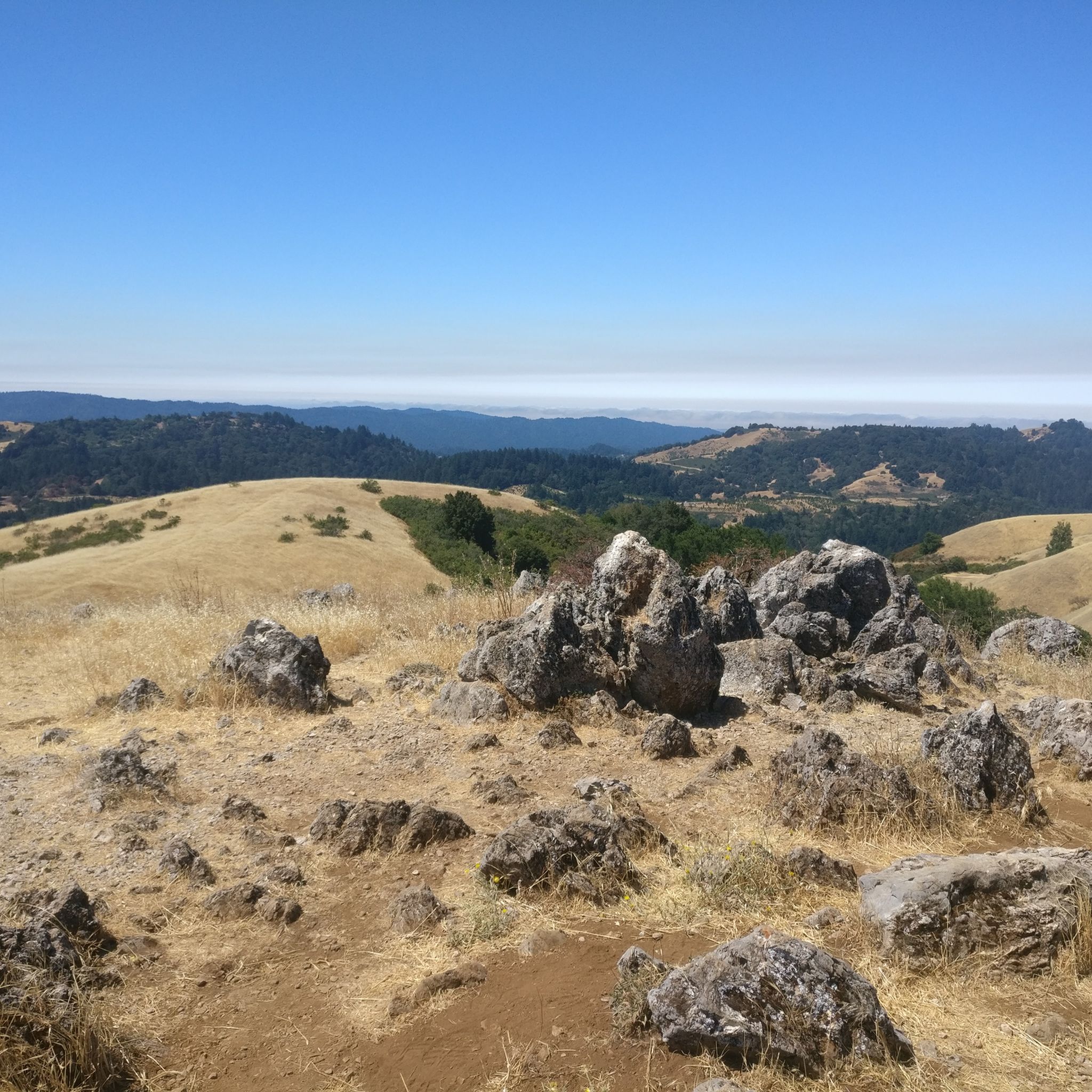
Enid Pearson-Arastradero Preserve offers rolling grasslands mixed with oak and evergreen trees. The trail system starts on pavement and transitions to packed dirt and gravel—great for bikes with wider tires or a solid gravel setup. Keep an eye out for deer, coyotes, and even bobcats, and take a moment to pause at one of the benches or by Arastradero Lake to enjoy the open views.
0
0

Stevens Creek Reservoir spans 87 acres and is surrounded by a 1,063-acre park. Visitors can enjoy hiking, horseback riding, picnicking, and limited fishing. Seasonal boating for low-power boats is available from mid-April to mid-October. The park is open daily from 8 a.m. to sunset, with vehicle entry fees collected year-round at the Chestnut parking lot. Visitors can explore natural beauty and historic remnants like the Villa Maria orchard.
0
0

Too many cleavages, and easy to have accidents
0
0

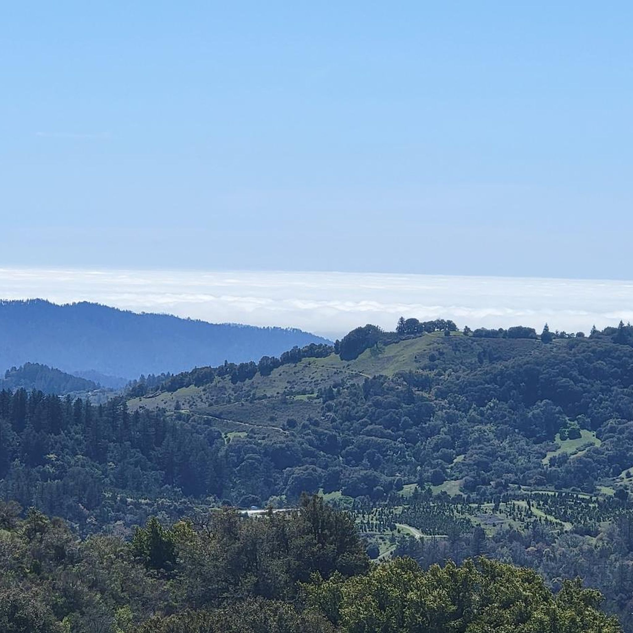
Just right off the picnic bench area lies a viewpoint of the Pearson-Arastradero Preserve. An open meadow offers views of the preserve and surrounding mountains. It's a nice shaded area for a break!
0
0
The Palo Alto-Los Altos Bike and Pedestrian Path, also known as the Hetch Hetchy Trail, is a well-maintained multi-use route that connects Los Altos Avenue to Arastradero Road. It’s popular for biking, running, and hiking, offering scenic views and access to parks like Terman Park, Bol Park, and Barron Park Donkeys. The trail includes a mini library and is part of Henry M. Gunn High School's recommended walking routes.
1
0

Woodside Store was built back in the 1850s by two pioneers who came to California for the gold rush. At the time it was the only stagecoach stop between San Francisco and Santa Clara, and it carried all the essential items that travelers riding between cities might need. The store has been restored, inside and out, to look exactly as it did centuries ago. You can call the museum ahead of your trip to book tours.
0
0

Black Mountain, situated on Monte Bello Ridge, is a popular destination for hikers and mountain bikers. With an elevation of 2,812 feet, it's easy to understand why. From the summit, the views of the Santa Cruz Mountains and Silicon Valley are breathtaking.
0
0
This fantastic tavern, founded in 1852, is the second oldest in the state. It features a large, beer garden-style outdoor area with plenty of shade. An extensive beer and food menu makes it a perfect stop to enjoy a brew and some great food after a ride.
0
0
Frequently Asked Questions
How many mountain bike trails are available around Los Altos?
There are approximately 80 mountain bike trails around Los Altos. These routes offer a diverse range of experiences, from easier rides to challenging, long-distance tours.
Are there mountain bike trails suitable for beginners in Los Altos?
Yes, Los Altos offers around 30 easy mountain bike trails. These routes are generally shorter with less elevation gain, making them ideal for those new to mountain biking or looking for a more relaxed ride.
What kind of challenges can advanced mountain bikers expect in Los Altos?
For advanced mountain bikers, Los Altos features about 19 difficult trails. These routes often include significant elevation gains and longer distances, such as the Indian Creek Trail – White Oak Trail loop from Rancho San Antonio County Park, which covers 31.7 miles with over 1000 meters of ascent.
Are there any family-friendly mountain bike trails in Los Altos?
While specific 'family-friendly' designations aren't always explicit, many of the 30 easy and 31 moderate trails around Los Altos can be suitable for families, depending on their experience level. Look for routes with less technical terrain and shorter distances for a more enjoyable family outing.
What is the best time of year for mountain biking in Los Altos?
The Los Altos region generally offers good mountain biking conditions year-round, thanks to its mild climate. Spring and fall often provide the most pleasant temperatures. During summer, early mornings or late afternoons are preferable to avoid the midday heat. Winters are typically mild, though trails can be muddy after heavy rains.
Are there mountain bike trails that form a loop in Los Altos?
Yes, many mountain bike trails in Los Altos are designed as loops, offering a circular route back to your starting point. Examples include the Tree Tunnel on Portola Road – Arastradero Lake loop from San Antonio and the Indian Creek Trail – Arastradero Lake loop from San Antonio, providing varied distances and scenery.
What are some notable viewpoints along mountain bike trails in Los Altos?
Mountain bike trails in Los Altos often lead to scenic viewpoints. You can find stunning vistas at Byrne Preserve Lookout or enjoy panoramic views from Black Mountain. The Black Mountain – Indian Creek Trail loop from San Antonio is one route that takes you near these elevated points.
What natural attractions can I see near the mountain bike trails in Los Altos?
The trails around Los Altos are close to several natural attractions. You can ride past Arastradero Lake, explore parts of the San Francisco Bay Trail, or visit Stevens Creek Reservoir. These natural features add to the scenic beauty of the rides.
Are there any hidden gem mountain bike trails in Los Altos?
While 'hidden gems' can be subjective, exploring the less-trafficked moderate trails, such as the Palo Alto-Los Altos Bike Path – Arastradero Lake loop from San Antonio, might offer a more secluded experience. These routes often provide beautiful scenery without the crowds of more popular paths.
What do other mountain bikers enjoy the most about mountain biking in Los Altos?
The mountain bike trails around Los Altos are highly rated by the komoot community, with an average score of 4.6 stars. Reviewers often praise the diverse landscape, including rolling hills and wooded trails, as well as the well-maintained paths that cater to various skill levels.
What are the typical distances for mountain bike trails in Los Altos?
Mountain bike trails in Los Altos vary significantly in distance. You can find shorter routes, but many popular trails are longer, ranging from moderate distances like the 29.5-mile Tree Tunnel on Portola Road – Arastradero Lake loop from San Antonio to challenging 36.6-mile routes such as the Indian Creek Trail – Arastradero Lake loop from San Antonio.
Most popular routes around Los Altos
Most popular attractions around Los Altos

Get inspired with the komoot mobile app


Explore more
Browse the best MTB trails in other regions.
