The best road cycling routes around South Gate
4.2
(34)
873
riders
31
rides
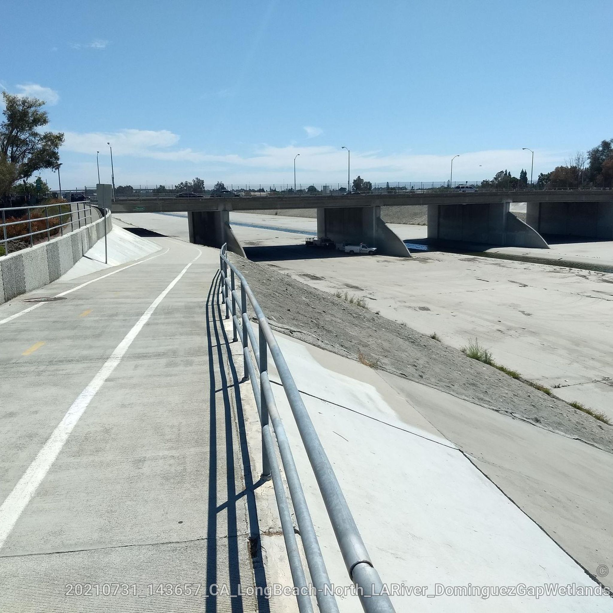
Road cycling routes around South Gate, California, primarily utilize an extensive network of paved bike paths and river corridors within the greater Los Angeles County area. The region is characterized by relatively flat terrain, making many routes accessible for various skill levels. Cyclists can explore green spaces like South Gate Park and Hollydale Regional Park, which serve as access points to larger trail systems such as the San Gabriel River Greenway, Los Angeles River Bikeway, and Rio Hondo Bikeway. These…
Last updated: October 28, 2026
4.2
(5)
262
riders
81.3km
03:29
120m
120m
Moderate road ride. Good fitness required. Mostly well-paved surfaces and easy to ride.
5.0
(1)
227
riders
127km
05:21
240m
240m
Hard road ride. Very good fitness required. Mostly well-paved surfaces and easy to ride.

27
riders
151km
07:36
1,600m
1,600m
Hard road ride. Very good fitness required. Mostly well-paved surfaces and easy to ride.
25
riders
24.9km
01:17
30m
30m
Easy road ride. Mostly well-paved surfaces and easy to ride.
13
riders
Moderate road ride. Good fitness required. Mostly well-paved surfaces and easy to ride.
Get access to more routes and recommendations from other explorers.
Already have an account?
Our route recommendations are based on thousands of hikes, rides, and runs completed by other people on komoot.


Tips from the Community


The Huntington Beach Wetlands are a nice break from the busy oceanfront paths. It’s a flat, quiet stretch along Talbert Marsh with great views of the salt marsh and birdlife. Easy to link with Pacific Coast Highway, and worth slowing down for a quick wildlife stop or photo.
0
0

Nice bike path. not much roads to cross. some are hilly but doable for newbies. It's our first time and we had a good time. just some areas are with a lot of homeless people, esp. the tunnels.
0
0

Limited cars use the roads so it is nice to get away from traffic
0
0
Not a bad trail. Super smooth and free of cars and gravel
0
0

Bike along the Santa Ana River Trail for a fantastic view of Angel Stadium’s iconic “Big A” sign, a 230-foot-tall landmark that originally served as the stadium's scoreboard. The halo atop the sign lights up after every Angels victory, glowing even brighter for home wins. Be sure to avoid the surrounding streets on game days, as the area can get crowded.
1
0
Frequently Asked Questions
How many road cycling routes are available around South Gate?
There are over 30 road cycling routes around South Gate, offering a diverse range of experiences. These include 16 easy routes, 14 moderate routes, and 1 difficult route, catering to various skill levels and preferences.
What kind of terrain can I expect on road cycling routes near South Gate?
The road cycling routes around South Gate primarily feature relatively flat terrain, utilizing an extensive network of paved bike paths and river corridors. This makes many routes accessible for various skill levels, though some moderate routes, like the Santa Fe Flood Control Basin – San Gabriel River Greenway loop from Norwalk, do include some elevation gain.
Are there family-friendly road cycling options in the South Gate area?
Yes, many routes around South Gate are suitable for families due to their relatively flat terrain and well-paved surfaces. Easy routes like the San Gabriel River Trail – El Dorado East Regional Park loop from Bellflower, which is 22.1 km, are great for a relaxed ride with children.
What are some notable landmarks or attractions I can see along the road cycling routes?
As you cycle, you can encounter various points of interest. The Rio Hondo Bike Bridge is a prominent feature on the Rio Hondo Bikeway. Further afield, you might pass by the Los Angeles River Greenway, or even the Exposition Park Rose Garden if your route extends towards downtown Los Angeles.
What is the best time of year for road cycling around South Gate?
South Gate and the greater Los Angeles County enjoy a mild climate year-round, making road cycling pleasant in most seasons. However, spring and fall offer particularly comfortable temperatures. Summers can be warm, so early morning or late afternoon rides are often preferred, while winters are generally mild and suitable for cycling.
Where can I find parking for road cycling routes near South Gate?
Many of the regional parks and trailheads provide parking facilities. For instance, routes accessing the San Gabriel River Greenway or Rio Hondo Bikeway often have parking available at nearby parks or designated access points. It's advisable to check specific route details for the most convenient parking locations.
Can I access these road cycling routes using public transport?
Yes, several major bikeways in the area, such as the San Gabriel River Greenway and Los Angeles River Bikeway, are accessible via public transport. Many Metro bus lines and some rail lines in Los Angeles County are equipped to carry bicycles, allowing you to reach various starting points without a car.
Are there options for longer, more challenging road cycling rides?
Absolutely. While many routes are relatively flat, the interconnected bikeway system allows for extended rides. For example, the Santa Fe Flood Control Basin – San Gabriel River Greenway loop from Norwalk covers 84.9 km with some elevation, providing a moderate challenge. For even more significant elevation, routes extending into areas like Turnbull Canyon, such as the Turnbull Canyon – Turnbull Debris Basin loop from Norwalk, offer substantial climbs.
What do other cyclists enjoy most about road cycling in South Gate?
The area is highly rated by the komoot community, with an average score of 4.8 stars from over 30 reviews. Cyclists often praise the extensive network of well-paved bike paths, the accessibility of routes, and the ability to connect to various regional parks and river corridors, offering a mix of urban and natural scenery.
Are there less crowded road cycling routes available?
While popular bikeways can see significant use, especially on weekends, exploring routes that venture slightly further from central urban areas or riding during off-peak hours can offer a more serene experience. The vast network of paths means you can often find quieter sections, particularly on weekdays or earlier in the morning.
Can I find cafes or restaurants along the road cycling routes?
Yes, many routes pass through or near urban areas where you can find cafes, restaurants, and convenience stores. The interconnected nature of the bikeways means you're often close to amenities in the communities they traverse. For example, routes along the Los Angeles River Bikeway or San Gabriel River Greenway will have access to various dining options.
Are there any easy road cycling routes suitable for beginners?
Yes, South Gate offers several easy routes perfect for beginners. The generally flat terrain and well-maintained paths make it ideal for those new to road cycling. An excellent option is the Rio Hondo Bike Bridge – Los Angeles River Greenway loop from David Starr Jordan High School, which is 27.1 km and classified as easy.
Most popular routes around South Gate
Most popular attractions around South Gate

Get inspired with the komoot mobile app


Explore more
Browse the best Road cycling routes in other regions.
