The best MTB trails around Rur Dam
4.6
(4899)
15,401
riders
441
rides
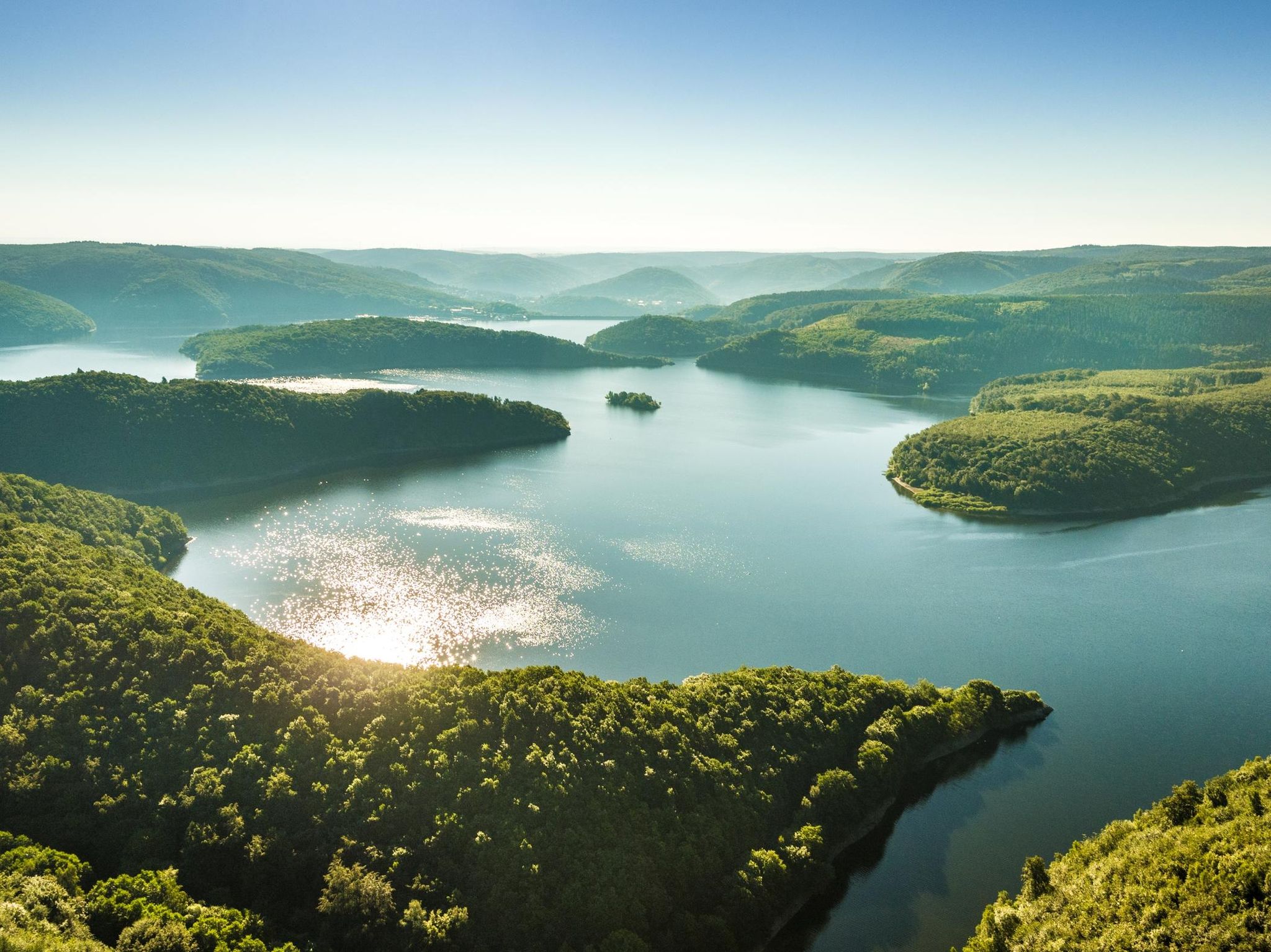
Mountain biking around Rur Dam offers diverse landscapes within the Eifel region of Germany. The area is characterized by the expansive Rur Reservoir, nestled among forested hills and winding paths. Topography includes steep slopes, tranquil coves, and the branching Upper Lake, often referred to as the "Amazon of the Eifel." This interplay of water, woodland, and meadows creates varied terrain for mountain bikers.
Best mountain bike trails around Rur Dam
- The most popular mountain bike trail is Rursee at Rurberg…
Last updated: June 28, 2026
4.8
(90)
254
riders
Hard mountain bike ride. Good fitness required. Advanced riding skills necessary. Some portions of the route may require you to push your bike.
4.4
(16)
49
riders
Moderate mountain bike ride. Good fitness required. Suitable for all skill levels.

Sign up for free
4.8
(11)
38
riders
Moderate mountain bike ride. Good fitness required. Suitable for all skill levels.
4.6
(14)
44
riders
62.7km
04:36
850m
850m
Moderate mountain bike ride. Good fitness required. Advanced riding skills necessary.
5.0
(4)
14
riders
32.5km
02:31
540m
540m
Hard mountain bike ride. Good fitness required. Advanced riding skills necessary. Some portions of the route may require you to push your bike.
Get access to more routes and recommendations from other explorers.
Sign up for free
Already have an account?
Our route recommendations are based on thousands of hikes, rides, and runs completed by other people on komoot.
Start today with a free account
Your next adventure awaits.
Login or Signup
Popular around Rur Dam
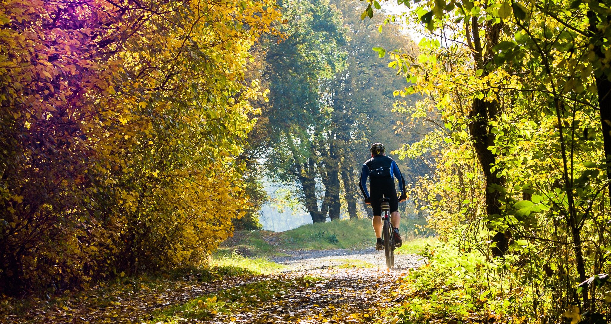
Colored leaves, mud and your bike in NRW
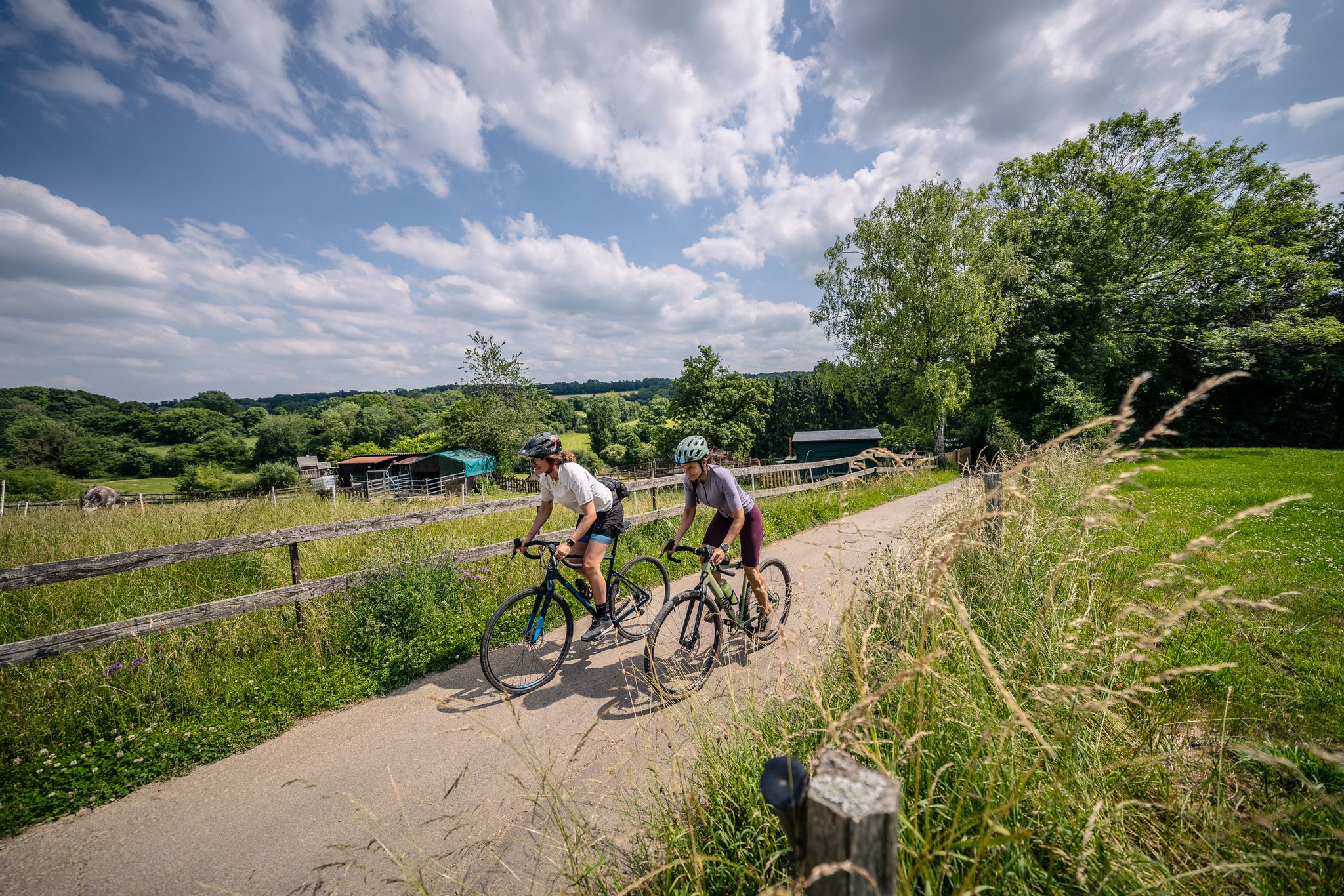
Gravel at its finest – rides around Aachen
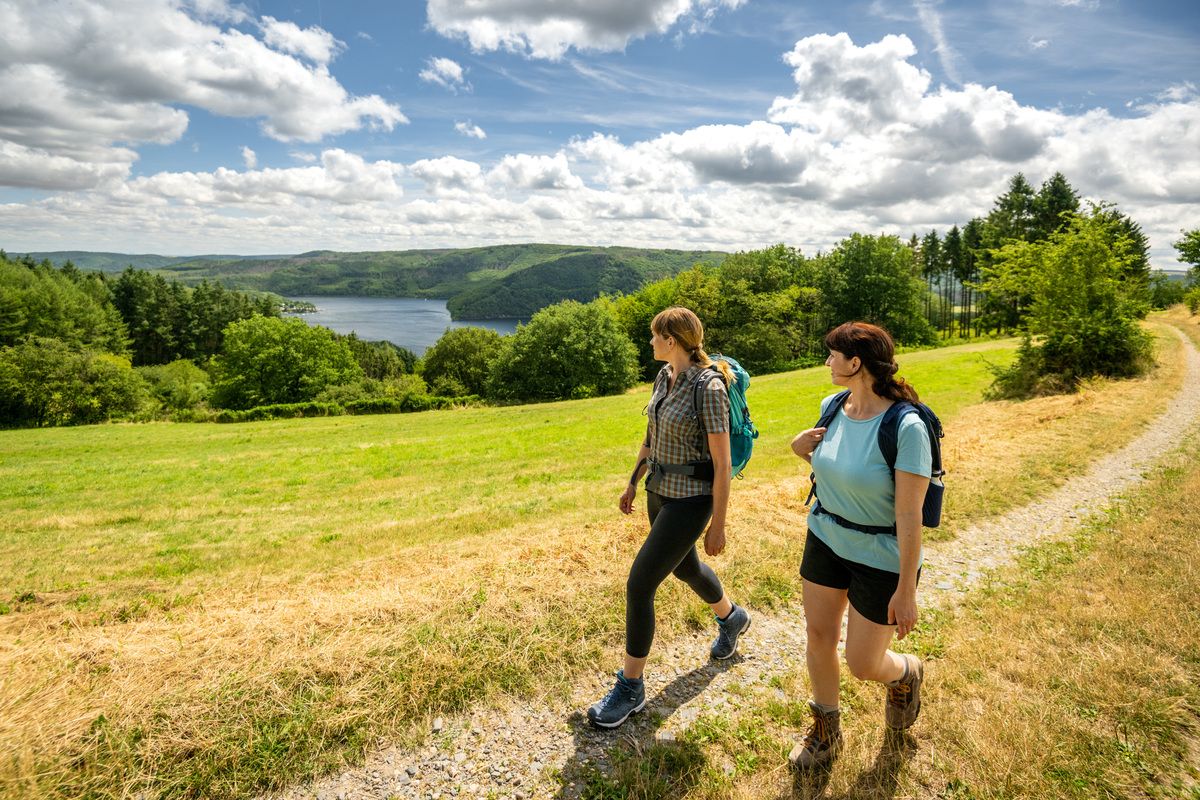
Shaped by rock and water – hikes in the Rureifel region
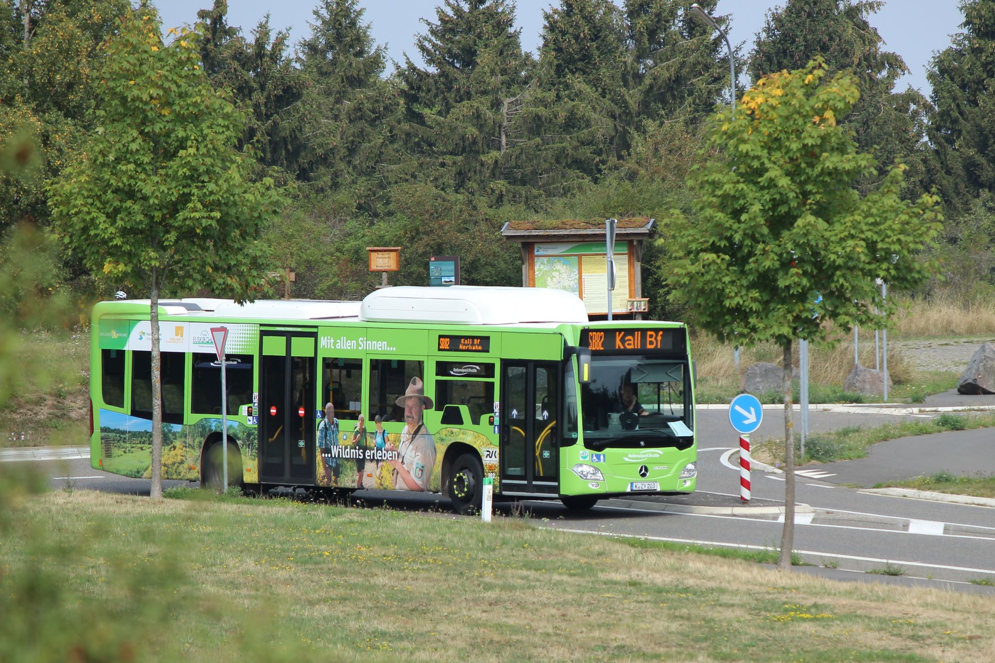
Next stop: Wilderness! – Germany’s Eifel National Park by public transport
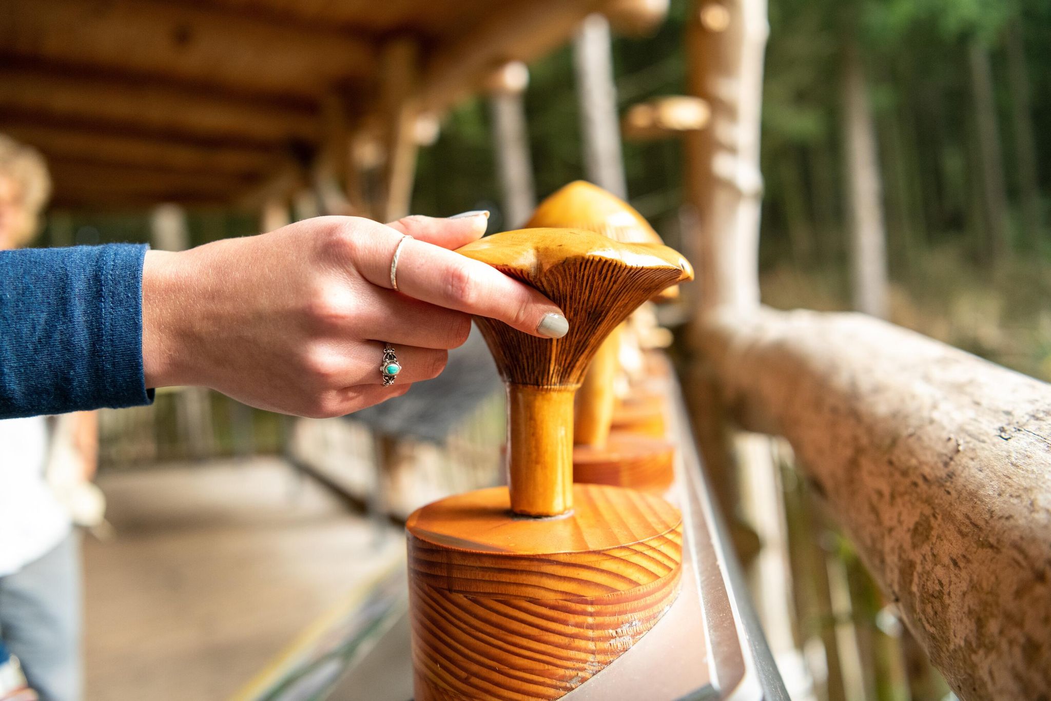
Accessible routes in Germany’s Eifel National Park
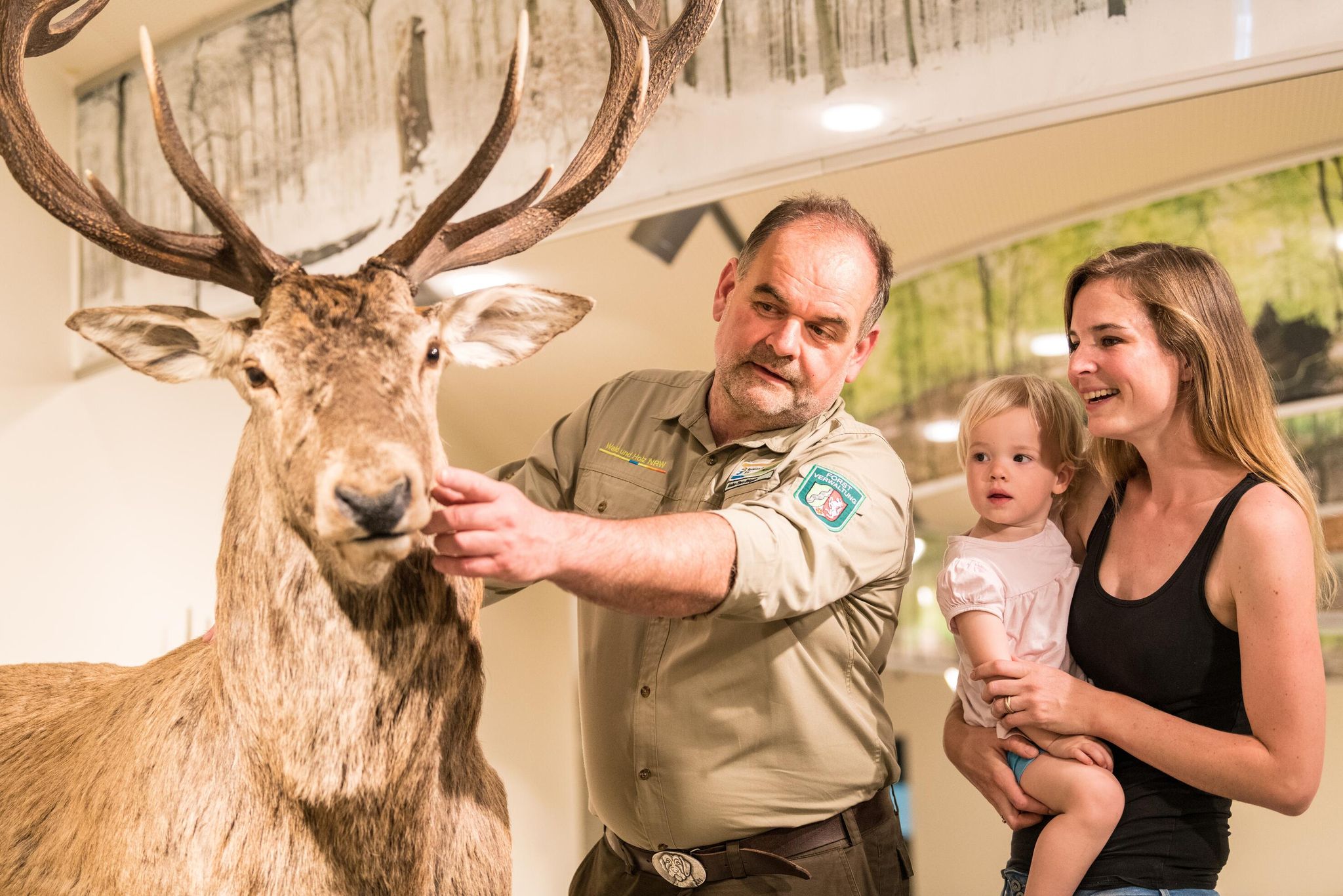
Eifel National Park information centres and facilities
Themed tours around the Eifel National Park
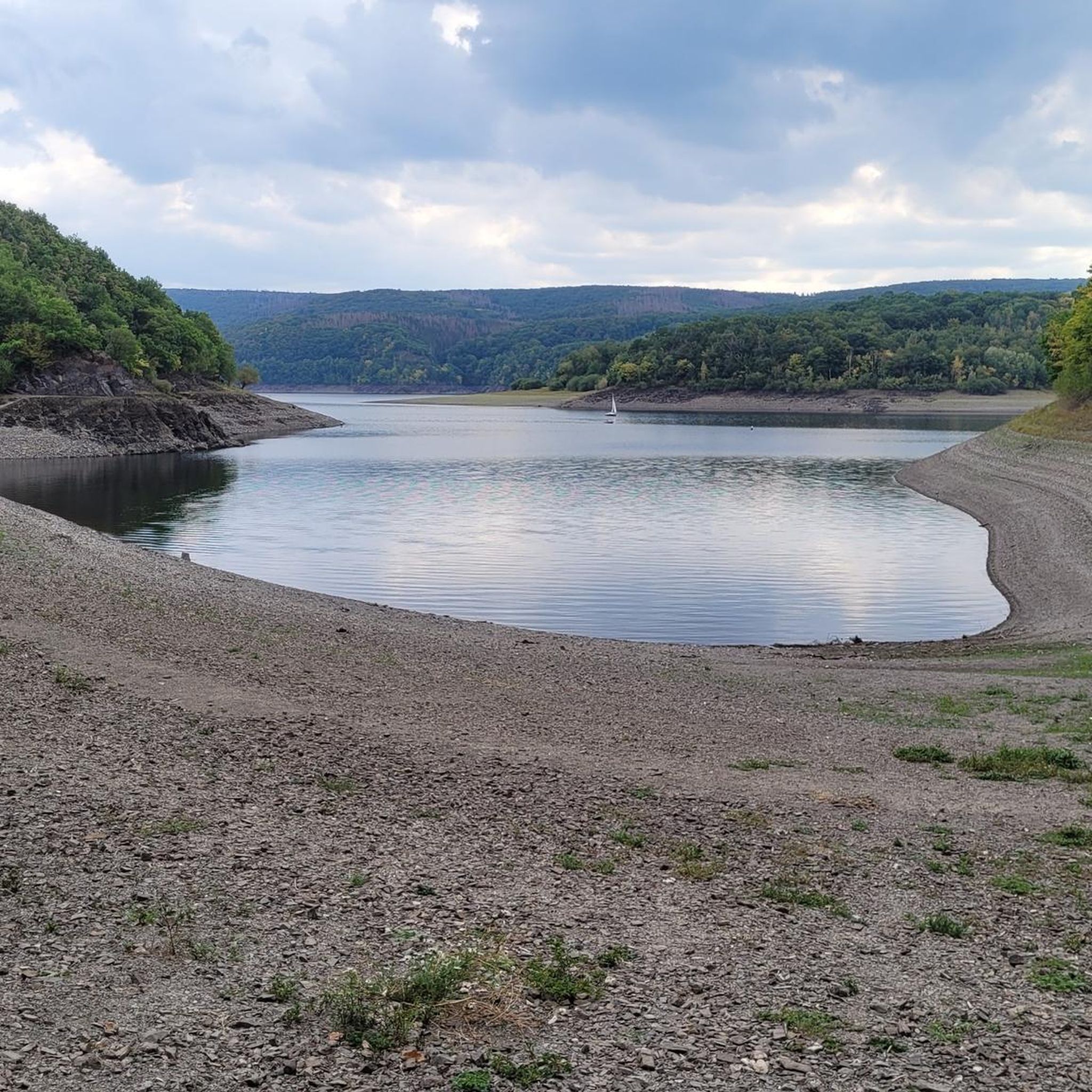
Hiking around Rur Dam
Cycling around Rur Dam
Road Cycling Routes around Rur Dam
Other adventures around Rur Dam


Tips from the Community

Simply beautiful for cycling and hiking. The path along the Urft reservoir is wide enough for everyone and there are always beautiful views.
0
0


You'll find the Kaiserfelsen (Emperor's Rock) right near the dam.
1
0

The Kall Dam, known as the Kalltalsperre in German, is a tranquil and natural dam in the Kall Valley near Simmerath in the northwestern Eifel region of Germany, not far from the Dutch border. This dam forms a reservoir that serves as part of the local drinking water supply and natural water management system. It is not used for swimming or water sports because it functions as a drinking water reservoir, and strict restrictions apply to keep the water clean and safe. Unlike larger tourist dams such as the Urft or Rur Dam, whose history and size are legendary, the Kall Dam is especially popular for its natural beauty and tranquil setting. Surrounding the water are forests, meadows, and gentle slopes, perfect for walks through tranquility and greenery. From the Kallbrück Wanderparkplatz car park near Rollesbroich, you can directly follow paths leading to the dam and around the water, making it a popular starting point for a circular walk around the Kall Dam. The hiking trails around the dam are generally easy to navigate and ideal for short or medium-length hikes. Although the dam itself is not a recreational swimming area, the surrounding landscape offers tranquility and a natural experience, with views over the water and wooded slopes that are resplendent in autumn and teeming with life in spring. Birds, small mammals, and a variety of plant species thrive in this environment, making the Kall Dam an attractive destination for nature lovers as well. Access to the dam and its paths is free and possible year-round, as long as you stay on the established hiking trails and respect the area's role as a drinking water supply (so no swimming or boating). From the Kallbrück car park, a circular route leads past the reservoir and through the surrounding Kall valley, making for a peaceful and varied walk lasting anywhere from an hour to several hours, depending on the route chosen. The Kall Dam's location in the Eifel region also makes it ideal for combining with other natural and historical attractions in the region. Around Simmerath and the Kall Valley, several hiking trails lead through valleys, streams, and forests, suitable for both day hikes and longer treks. For those seeking a more challenging experience, there are longer routes like the Kall Trail (approximately 8.8 km) or the Kalltalweg (approximately 7.5 km), which pass through the Kall Valley and surrounding areas. These routes are slightly more hilly and offer a richer view of the landscape.
0
0

Great view of the lake
0
0

Frequently Asked Questions
How many mountain bike trails are available around Rur Dam?
The Rur Dam area offers a wide variety of mountain bike trails, with over 450 routes available. These range from easy to difficult, ensuring options for all skill levels.
Are there easy mountain bike trails suitable for beginners or families?
Yes, there are approximately 90 easy mountain bike trails around Rur Dam. These routes often feature less challenging terrain and elevation, making them suitable for beginners or family outings. While specific family-friendly routes are not highlighted in the data, the presence of many easy trails suggests good options for a more relaxed ride.
What kind of terrain can I expect on mountain bike trails near Rur Dam?
The terrain around Rur Dam is diverse, characterized by forested hills, winding paths, and the expansive Rur Reservoir. You'll encounter steep forested slopes, tranquil coves, and areas around the branching Upper Lake, sometimes called the "Amazon of the Eifel." This mix of water, woodland, and meadows provides varied and engaging environments for mountain biking, including single tracks for more technical riding.
Are there any challenging mountain bike routes for experienced riders?
Absolutely. For experienced riders seeking a challenge, there are over 100 difficult mountain bike trails. An example is the Einruhr on the Rursee – View of Heimbach Valley loop from Erkensruhrtal mit Nebenbächen und Felsen am Oberseeufer, a 47.8 km route with significant elevation gain through forested areas, typically taking nearly 5 hours to complete.
Can I find circular mountain bike routes around Rur Dam?
Yes, many mountain bike routes around Rur Dam are designed as loops. For instance, the Vogelsang Viewing Platform – Victor-Neels Bridge loop from Eiserbachtal mit Nebenbächen is a moderate 38.2 km trail that offers varied terrain and can be completed in under 3 hours. The region is well-known for its circular paths, including a popular 27-kilometer path circling the Rursee itself.
What are some scenic viewpoints or landmarks I can see while mountain biking?
The Rur Dam area is rich in scenic spots. You can enjoy impressive views of the Rursee and the Eifel National Park from various points. Notable landmarks include the Rur Dam itself, an impressive man-made structure, and the View of the Rursee at Schwammenauel. Other highlights include the Paulushof Dam and the tranquil Krähenfüße Bay. The region's topography, with its deep green woodlands and mirror-like water surfaces, offers picturesque backdrops throughout your ride.
Is the Rur Dam area suitable for mountain biking with dogs?
While the Rur Dam area is popular for outdoor activities, including cycling, specific regulations for dogs on mountain bike trails within the Eifel National Park or around the Rursee can vary. It's generally advisable to keep dogs on a leash, especially in protected areas or near wildlife. Always check local signage for specific rules regarding pets on trails.
What is the best time of year to go mountain biking around Rur Dam?
The Rur Dam area is enjoyable for mountain biking throughout much of the year. Spring and autumn offer pleasant temperatures and beautiful scenery, with autumn providing vibrant 'colored leaves.' Summer is also popular, though trails can be busier. Winter mountain biking is possible, but conditions may be muddy or icy, requiring appropriate gear and caution. The region is a popular meeting spot, especially on sunny weekends.
Are there options for food and drink along the mountain bike trails?
Yes, the Rur Dam area provides convenient refreshment options. You can find snack bars directly by the dam, as well as various restaurants in nearby towns. These amenities make it easy to refuel and relax during or after your ride.
What do other mountain bikers enjoy the most about mountain biking in Rur Dam?
The Rur Dam area is highly rated by the komoot community, with an average score of 4.6 stars from over 4,800 reviews. Reviewers often praise the diverse landscapes, the impressive natural features, and the well-developed infrastructure for recreation. The extensive views of the Rursee and the surrounding Eifel landscape are frequently highlighted as a favorite aspect.
How can I access the mountain bike trails around Rur Dam?
The Rur Dam area is accessible by car, with various parking options available near trailheads and attractions. Public transport options also serve the region, though their direct proximity to specific mountain bike trail starts may vary. For detailed information on public transport to the Eifel National Park, you can consult the official website: nationalpark-eifel.de.
Are there any less crowded mountain bike trails around Rur Dam?
While the Rur Dam area is popular, especially on sunny weekends, you can often find less crowded trails by exploring routes slightly off the main Rursee circuit or by riding during weekdays. The vast network of over 450 trails means there are many options beyond the most frequented paths. Look for routes that venture deeper into the forested areas of the Eifel National Park for a more secluded experience.
Most popular routes around Rur Dam
Most popular attractions around Rur Dam

Get inspired with the komoot mobile app


Explore more
Browse the best MTB trails in other regions.
