The best running trails around Hayward
4.4
(18)
1,842
runners
237
runs
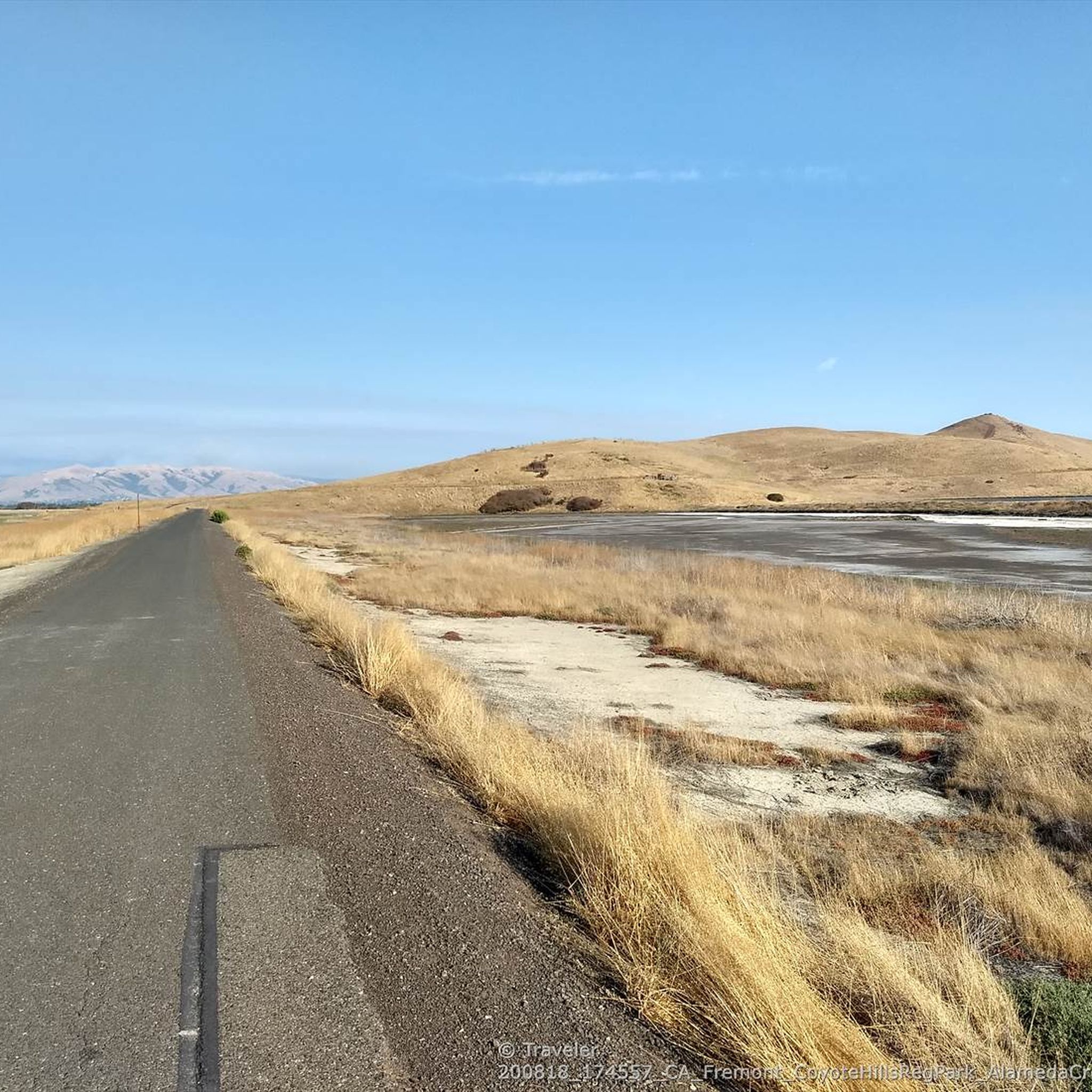
Jogging around Hayward offers a diverse landscape for runners, characterized by rolling hills, scenic ridges, and creek-side paths. The region provides a mix of terrain, from gentle, paved running trails to more challenging ascents. Runners can explore a variety of natural settings, including open spaces and wooded areas, making it suitable for different preferences and fitness levels.
Best jogging routes around Hayward
- The most popular jogging route is Courdet, North Ridge and Sinbad Creek Loop Trail, a 10.3 miles (16.6 km) trail that takes 2 hours 5 minutes to complete. This difficult route features significant elevation changes and varied natural scenery.
- Another top favourite among local runners is High Ridge Loop Trail, a moderate 3.7 miles (6.0 km) path. This route offers views from a prominent ridge and can be completed in about 39 minutes.
- Local runners also love the Vista Peak Loop Trail, a 4.7 miles (7.5 km) trail leading through varied terrain, often completed in about 57 minutes.
- Jogging around Hayward is defined by its network of ridge trails, creek paths, and loop routes. The area offers options for all ability levels, from easy jogging routes Hayward to more difficult running challenges.
- The routes in Hayward are highly rated by the komoot community with an average score of 4.3 stars from more than 10 reviews. More than 1900 runners have used komoot to explore Hayward's varied terrain.
Last updated: September 28, 2026
10
runners
5.96km
00:40
100m
100m
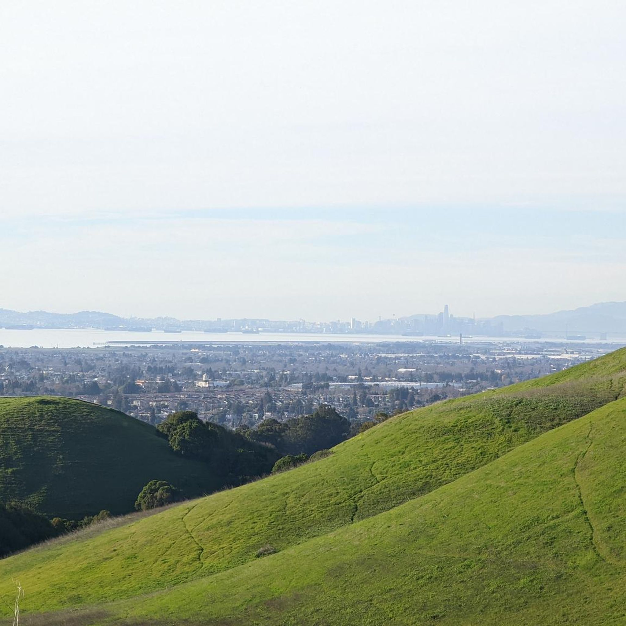
Embark on the High Ridge Loop Trail for a moderate jogging experience that takes you through varied scenery. This 3.7-mile (6.0 km) route features open ridges offering expansive views of Hayward and the San Francisco Bay, contrasting with attractive wooded canyons and oak forests. You will gain 339 feet (103 metres) in elevation, making for a good workout that typically takes around 39 minutes. As you jog, keep an eye out for grazing cows in the grassy hills and the notable Jordan Pond. The trail provides dramatic views of the urban plain, especially on descents, and you might even see wildflowers depending on the time of year.
When planning your visit, be aware that the trail can get muddy, particularly around the cow pond, so choose your footwear accordingly. You might also encounter bugs in the oak woodlands, especially during the warmer months, so consider bringing insect repellent. Parking is generally available at Dry Creek Pioneer Regional Park, which often provides a less crowded starting point compared to other popular trails in the Bay Area. This makes it a convenient option if you prefer a quieter experience.
The High Ridge Loop Trail stands out as a solid choice for joggers seeking diverse terrain without extreme challenges. Its blend of open vistas and shaded woodlands offers a dynamic environment for your workout. The route's moderate difficulty makes it accessible for many, while the changing scenery keeps your run engaging. It serves as an excellent alternative to more congested Bay Area trails, providing a refreshing outdoor escape.
9
runners
16.6km
02:06
540m
540m
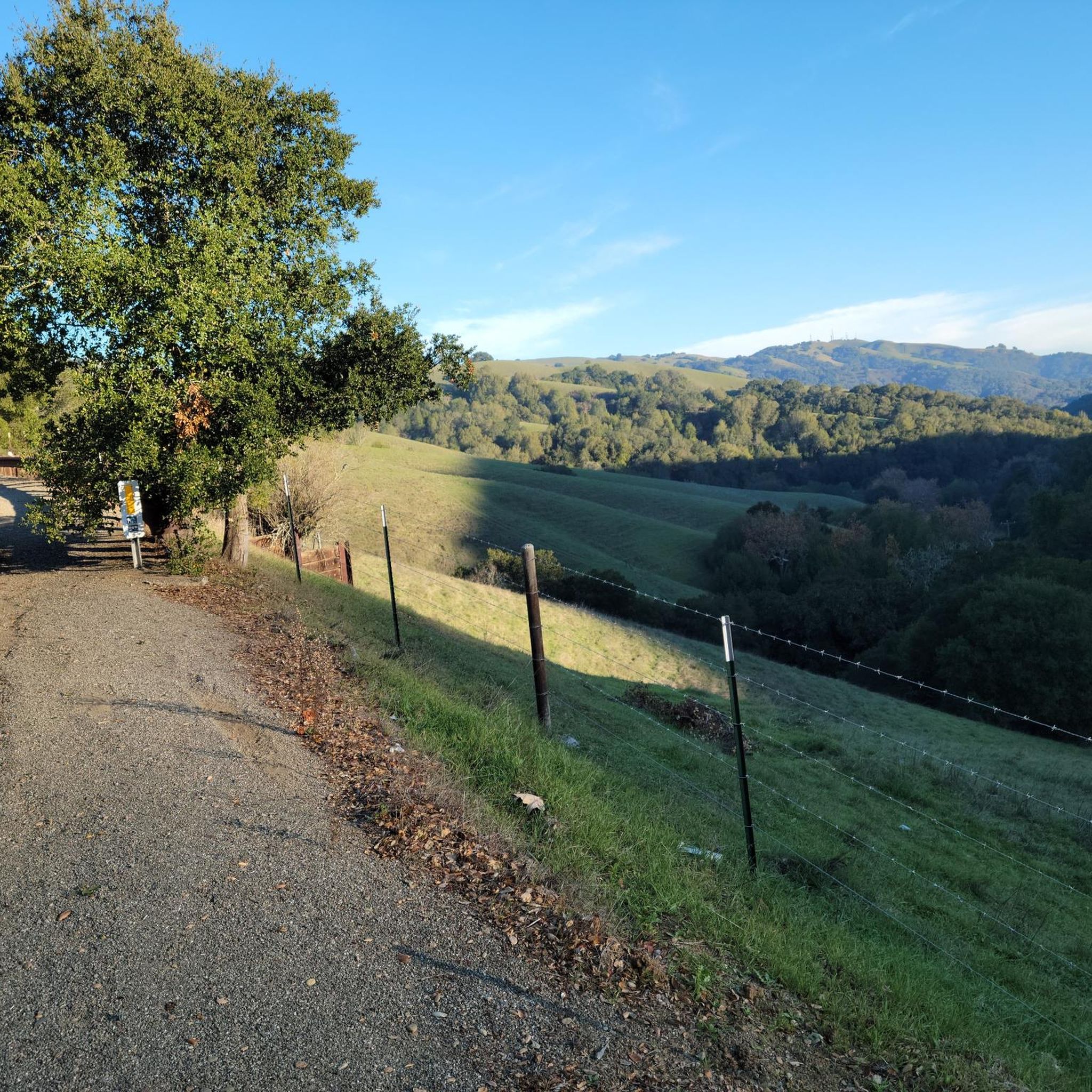
Embark on the Courdet, North Ridge and Sinbad Creek Loop Trail for a challenging jogging experience through Pleasanton Ridge Regional Park. This difficult route spans 10.3 miles (16.6 km) and involves a significant elevation gain of 1774 feet (541 metres), typically taking around 2 hours and 5 minutes to complete. As you jog, you will encounter diverse natural ground surfaces and enjoy expansive views of rolling hills and valleys, with wildflowers adding seasonal color along the way.
When planning your visit, remember that this multi-use trail is well-maintained within Pleasanton Ridge Regional Park. Parking is generally available at the trailhead, providing convenient access to the park's extensive natural areas. Always check local park regulations before you head out to ensure a smooth and enjoyable experience on the trail.
This route offers a vigorous workout amidst the epic California landscapes that define Pleasanton Ridge Regional Park. The trail is well-established and provides a true trail running experience, allowing you to immerse yourself in the natural environment. It's an excellent choice if you are seeking a demanding jog with substantial climbs and rewarding vistas within a protected natural setting.

5
runners
7.54km
00:58
190m
190m
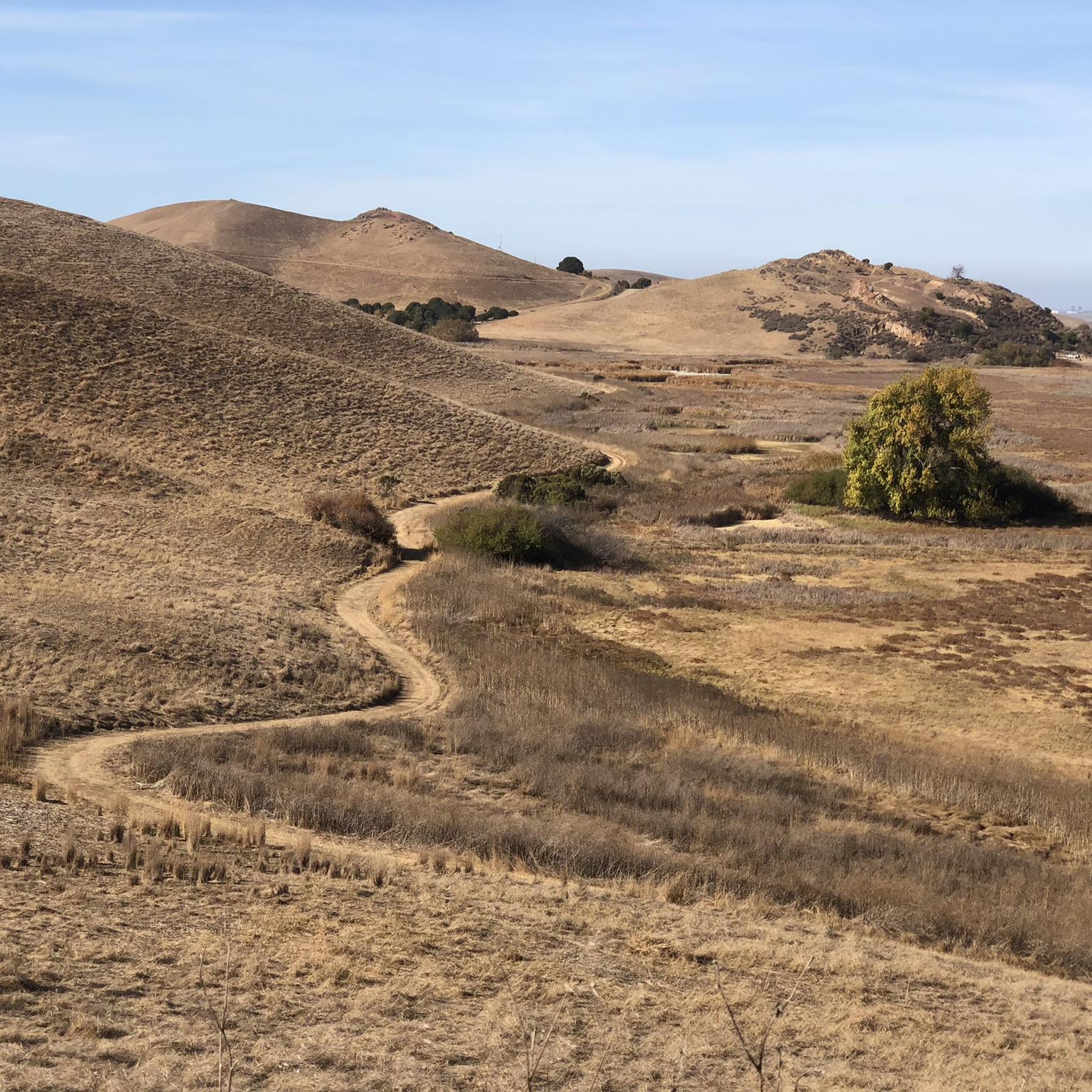
The Vista Peak Loop Trail offers a dynamic jogging experience through Garin Regional Park, transitioning from open, rolling grasslands dotted with grazing cattle to a more sheltered, wooded canyon. You'll navigate a mix of paved road, loose dirt, and singletrack paths, with the highlight being the panoramic Bay Area views from the Vista Peak Loop Trail Viewpoint on clear days. This moderate 4.7-mile (7.5 km) loop, with 632 feet (193 metres) of elevation gain, is a great option for a roughly 57-minute run that feels like a true journey.
Before you head out, be aware that the trail can get very muddy after rain, particularly in the first half, so waterproof shoes are recommended during wet seasons. During summer, expect to see brown stubble and cow manure in the heavily grazed pastures. Checking current trail conditions is always a good idea, as erosion and closures can occur. The best time to visit for lush green scenery is between January and April.
This route is a fantastic way to experience the diverse ecosystems of Garin Regional Park, from its open pastures to its wooded sections. While the views are impressive, they are generally considered less dramatic than those on the nearby High Ridge Loop. The trail also connects with other paths like the Zeile Creek Trail, offering opportunities to extend your run if you're looking for more mileage.
1
runners
7.44km
01:02
260m
260m
Jog the Tolman Peak and South Fork Loop, a 4.6-mile moderate trail in Dry Creek Pioneer Regional Park with diverse scenery and Bay Area view
7.37km
00:59
340m
340m
This difficult 4.6-mile jogging loop in Dry Creek Pioneer Regional Park offers panoramic bay views and a significant 1108 feet elevation gai
Get access to more routes and recommendations from other explorers.
Already have an account?
Our route recommendations are based on thousands of hikes, rides, and runs completed by other people on komoot.
Start today with a free account
Your next adventure awaits.
Tips from the Community

The Turtle Pond Trail is located within Pleasanton Ridge Regional Park, a stunning 9,090-acre park situated on an oak-studded ridge overlooking Pleasanton and the Livermore Valley. The park is intended to be the core of the future Ridgelands Regional Park as additional land is acquired over time. Development has been intentionally minimal to maintain the peaceful, pastoral atmosphere. Pleasanton Ridge Regional Park blankets the westward ridge with oak woodlands and offers panoramic views of the valley below. Hiking the Turtle Pond Trail allows you to experience the natural splendor within this vast open space.
0
0
Great spot to rest, have your lunch and bask in the wide-open spaces unfolding in front of you. From canyon views and ridgetop vistas to peaks of neighboring mountain ranges.
0
0
Wonderful hilly trail making up part of the Dry Creek Pioneer Regional Park.
0
0

The Vista Peak Loop Trails goes up the hillside without any trees blocking your line of sight, so once you climb enough, there are great views onto the Bay Area.
0
0

From Gossip Rock you get views overlooking the bay, as well as the summits of Mt Allison and Mission Peak as you loop around.
0
0
At 997 feet, Tolman Peak offers incredible views of the surrounding area looking over Union City with views of the park's woodland, and dreamy rolling hills. Benches are also here if you're keen to take a break and take in the scenery!
1
0
Jordan Pond is a small, picturesque lake in the Dry Creek Pioneer Regional Park, surrounded by lush greenery and wildlife.
0
0
Great spot to rest, have your lunch and bask in the wide-open spaces unfolding in front of you. From canyon views and ridgetop vistas to peaks of neighboring mountain ranges.
1
0
Frequently Asked Questions
How many running routes are available in Hayward?
Hayward offers a wide selection of running routes, with over 200 options to explore. These routes cater to various preferences, from easy jogs to more challenging trails.
Are there easy running routes suitable for beginners in Hayward?
Yes, Hayward has approximately 30 easy running routes, perfect for beginners or those looking for a relaxed jog. These routes typically feature gentler terrain and shorter distances.
What kind of terrain can I expect on Hayward's jogging trails?
Jogging in Hayward offers a diverse landscape, including rolling hills, scenic ridges, and creek-side paths. You'll find a mix of terrain, from paved sections to more natural, unpaved trails, suitable for various running experiences.
Are there any running routes with scenic views in Hayward?
Absolutely! Many routes in Hayward offer beautiful vistas. For example, the High Ridge Loop Trail provides excellent views from a prominent ridge, while the Vista Peak Loop Trail also leads through varied terrain with scenic points.
What do other runners enjoy most about jogging in Hayward?
The running routes in Hayward are highly rated by the komoot community, with an average score of 4.3 stars. Runners often praise the varied terrain, the network of ridge trails and creek paths, and the options available for all ability levels.
Are there any loop trails for running in Hayward?
Yes, Hayward features several excellent loop trails. Popular options include the Courdet, North Ridge and Sinbad Creek Loop Trail, the High Ridge Loop Trail, and the Tolman Peak and South Fork Loop.
What are some interesting places to see near the running trails in Hayward?
While running in Hayward, you can explore several natural attractions. Consider visiting the Oyster Bay Regional Shoreline or the Hayward Regional Shoreline. The East Shore Trail at Lake Chabot Regional Park is also a notable highlight.
Are there any historical landmarks or unique natural features to discover around Hayward's running areas?
Yes, Hayward's surroundings offer interesting spots. You might find the Pond SF2 with Historical Baylands Exhibit or the Ukraina Historical Landmark. For natural features, Sunol Peak is a prominent summit in the area.
What is the typical distance and duration for a moderate running trail in Hayward?
Moderate running trails in Hayward vary, but a good example is the High Ridge Loop Trail, which is about 3.7 miles (6.0 km) and takes approximately 39 minutes to complete. Another is the Vista Peak Loop Trail, at 4.7 miles (7.5 km) and about 57 minutes.
Are there challenging running routes for experienced runners in Hayward?
Yes, Hayward offers 46 difficult running routes for those seeking a greater challenge. These routes often feature significant elevation changes and longer distances, such as the Courdet, North Ridge and Sinbad Creek Loop Trail, which is over 10 miles long with substantial climbs.
What are the best times of year to go running in Hayward?
Hayward generally has a mild climate, making it suitable for running year-round. Spring and fall offer particularly pleasant temperatures. Summers are typically warm and dry, while winters are mild and can be wet, so checking local weather forecasts is always advisable.
Most popular attractions around Hayward

Get inspired with the komoot mobile app


Explore more
Browse the best Running Trails & Routes in other regions.
