The best walks and hikes around La Palma
1.0
(2)
166
hikers
24
hikes
Hiking around La Palma is characterized by diverse volcanic landscapes, lush laurel forests, and dramatic ravines. The island, a UNESCO World Biosphere Reserve, features an extensive network of trails across its varied terrain. Hikers can explore ancient craters, pine forests, and coastal paths, with elevations ranging from sea level to over 7,900 feet (2,400 meters). The terrain includes black lava fields, dense vegetation, and high-altitude peaks offering panoramic views.
Best hiking trails around La Palma
- The most popular hiking route…
Last updated: July 7, 2026
21
hikers
4.09km
01:02
0m
0m
Easy hike. Great for any fitness level. Easily-accessible paths. Suitable for all skill levels.
3
hikers
2.00km
00:30
0m
0m
Easy hike. Great for any fitness level. Easily-accessible paths. Suitable for all skill levels.

Sign up for free
11.4km
02:52
10m
10m
Moderate hike. Good fitness required. Easily-accessible paths. Suitable for all skill levels.
93.7km
23:47
330m
90m
Hard hike. Very good fitness required. Easily-accessible paths. Suitable for all skill levels.
2.37km
00:36
0m
0m
Easy hike. Great for any fitness level. Easily-accessible paths. Suitable for all skill levels.
Get access to more routes and recommendations from other explorers.
Sign up for free
Already have an account?
Our route recommendations are based on thousands of hikes, rides, and runs completed by other people on komoot.
Start today with a free account
Your next adventure awaits.
Login or Signup


Tips from the Community

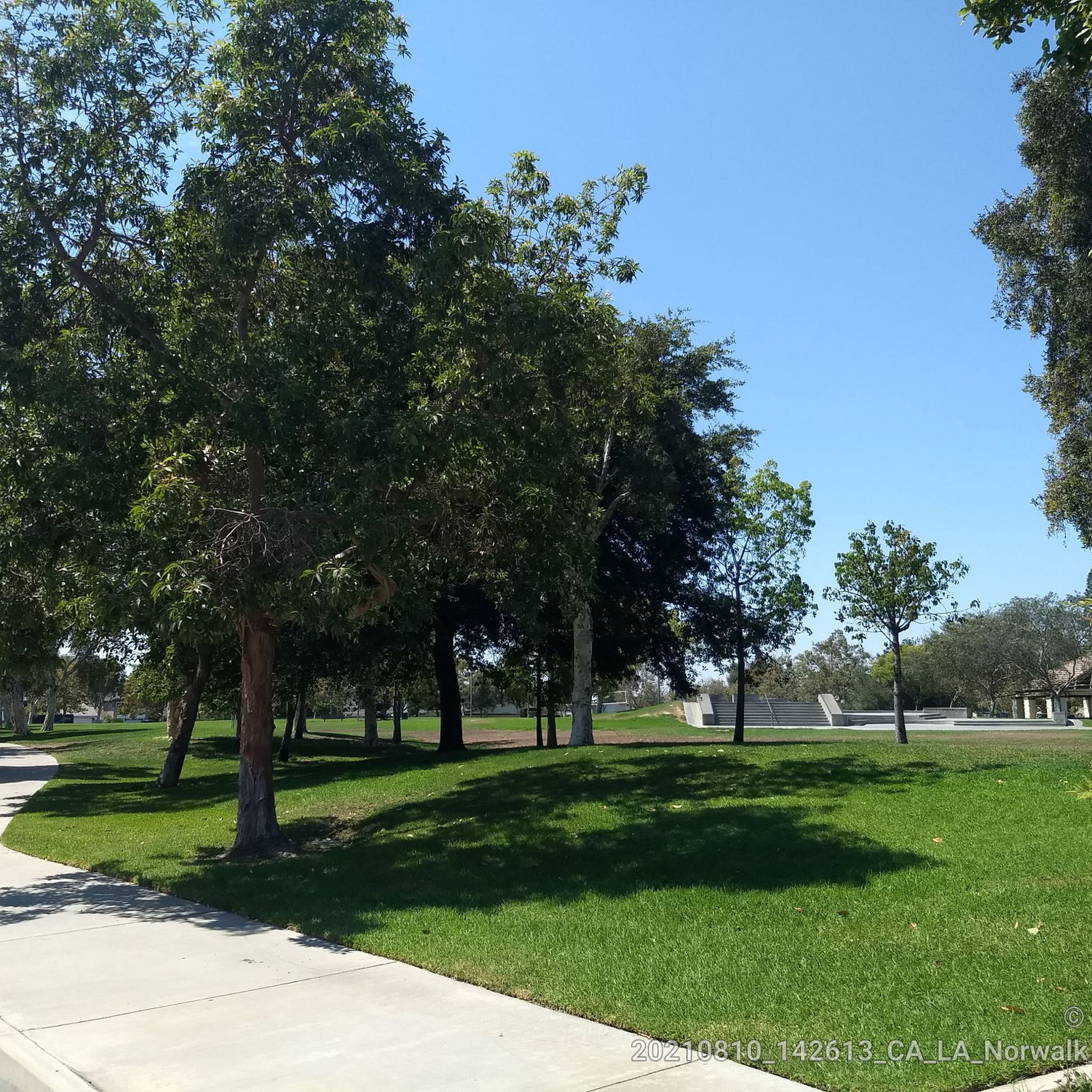
An easy, flat loop with lake views—great for a relaxed walk or light jog. The path is paved and shady, and there’s plenty of space to sit, watch ducks, or just take a breather. Good spot if you want something simple and peaceful.
0
0

Limited cars use the roads so it is nice to get away from traffic
0
0

Santa Fe Flood Control Basin is a recreation area in the empty reservoir behind the Santa Fe Dam. You can see and access this area from the San Gabriel River Greenway, a 35.4-mile paved, multi-use path that parallels the San Gabriel River.
1
0

This marks the end of the San Gabriel River Bike Path but you now have the option to extend your ride if you want to. You can either simply head back to town or carry on up the San Gabriel Canyon Road to make this a classic day ride.
0
0
This marks the end of the San Gabriel River Bike Path but you now have the option to extend your ride. If you wish you can head simply head back to town or carry on up the San Gabriel Canyon Road to make this a classic day ride.
0
0

Horseshoe Lake is aptly named and has a restroom next to it. The lake is situated a little ways off the main path, so you can find some secluded spots to sit and enjoy the water around the shoreline.
0
0


One of the largest urban parks in the valley, with lakes, meadows, sports fields, picnic areas, etc.
0
0
Frequently Asked Questions
How many hiking trails are available in La Palma?
La Palma, known for its extensive network, offers over 1,000 kilometers of well-maintained trails. Our guide features 15 curated routes, ranging from easy strolls to more challenging multi-day treks, to help you explore the island's diverse landscapes.
What are the best trails for experiencing La Palma's volcanic landscapes?
To truly immerse yourself in La Palma's volcanic history, consider trails that traverse the Cumbre Vieja ridge, such as the iconic Ruta de los Volcanes. These routes showcase vast lava flows, ash fields, and panoramic views. The area around the San Antonio volcano also provides accessible crater walks and insights into the island's geology.
Are there any family-friendly hiking options in La Palma?
Yes, La Palma offers several easy trails suitable for families. Many paths within the lush laurel forests, like those near Los Tilos, provide gentle gradients and magical scenery. Additionally, viewpoints such as La Cumbrecita offer stunning vistas of the Caldera de Taburiente without requiring strenuous effort, making them great for all ages.
Where can I find trails with waterfalls in La Palma?
The Caldera de Taburiente National Park is home to the unique Cascada de Colores (Colored Waterfall), a must-see within the Barranco de las Angustias. The northern parts of the island, particularly within the ancient laurel forests like Los Tilos, also feature beautiful, smaller waterfalls and water channels along their trails.
What are the best circular walks in La Palma?
La Palma has numerous excellent circular routes that allow you to start and end in the same location. Many trails within the dense forests of Los Tilos and Cubo de la Galga are designed as loops, offering a complete experience of the mystical cloud forests. Always check the route details for specific circular options.
Can I hike with my dog in La Palma?
While many natural areas in La Palma are protected, some trails may permit dogs, often requiring them to be on a leash. It's always best to check specific park regulations or individual trail rules before heading out with your canine companion, especially within national parks or sensitive ecological zones.
What is the best time of year to go hiking in La Palma?
La Palma enjoys a mild climate year-round, making it suitable for hiking in any season. However, spring (April-May) and autumn (September-November) are particularly pleasant, with comfortable temperatures and vibrant flora. The higher altitudes, like Roque de los Muchachos, can be cooler and more exposed, especially in winter.
Are there any less crowded hiking spots in La Palma?
While popular spots like the Ruta de los Volcanes and Caldera de Taburiente can attract many hikers, you can find quieter experiences in the northern and northeastern laurel forests, such as Cubo de la Galga. Exploring trails along the Camino Real de la Costa also offers dramatic coastal views with fewer crowds.
What kind of viewpoints can I expect on La Palma's trails?
La Palma is renowned for its breathtaking viewpoints. From Roque de los Muchachos, the island's highest point, you can often see above a sea of clouds and spot neighboring islands. La Cumbrecita offers unparalleled vistas into the vast Caldera de Taburiente, while coastal trails provide dramatic ocean panoramas.
Are there multi-day hiking opportunities in La Palma?
Yes, La Palma's extensive network includes long-distance trails (GR routes) that are ideal for multi-day adventures. These routes often traverse different ecosystems, from volcanic ridges to dense forests, allowing for a comprehensive exploration of the island's diverse landscapes. Planning and preparation for overnight stays are essential.
How accessible are La Palma's hiking trails by public transport?
Many popular trailheads in La Palma are accessible by the island's public bus system (guaguas), especially those near towns or major attractions. However, for more remote starting points, a rental car might be necessary. Always check bus schedules in advance, as services can be less frequent on weekends or in less populated areas.
What do other hikers enjoy most about hiking in La Palma?
The area is highly rated by the komoot community, with an average score of 1.0 stars. Reviewers often praise the incredible diversity of landscapes, from dramatic volcanic terrain to lush laurel forests, and the well-maintained, clearly marked trails that make exploration a joy.
Most popular routes around La Palma
Most popular attractions around La Palma

Get inspired with the komoot mobile app


Explore more
Browse the best Hikes in other regions.
