The best walks and hikes around Buena Park
4.0
(17)
484
hikers
54
hikes
Hiking trails around Buena Park offer a mix of urban green spaces and accessible natural features within the city and its surrounding areas. The landscape includes regional parks with geological interest and trails providing distant views. These areas feature varied terrain, from paved paths to natural dirt trails, suitable for different activity levels.
Best hiking trails around Buena Park
- The most popular hiking route is Laguna Lake lollipop loop via Juanita Cooke Trail — Fullerton, a 5.5 miles (8.8 km) trail that takes 2 hours 17 minutes to complete. This moderate route offers views of Laguna Lake and the surrounding area.
- Another top favourite among local hikers is Nora Kuttner Recreational Trail, a moderate 5.3 miles (8.6 km) path. This trail combines urban surfaces with natural sections, providing eucalyptus shade and views of the West Coyote Hills.
- Local hikers also love the Ralph B. Clark Regional Park loop — Fullerton, a 1.4 miles (2.3 km) trail leading through an urban park with geological features, often completed in about 37 minutes.
- Hiking around Buena Park is defined by urban green spaces, regional parks with geological interest, and trails offering views of the surrounding hills. The network offers options for different ability levels, from easy strolls to more challenging paths.
- The routes in Buena Park are highly rated by the komoot community with an average score of 3.3 stars from more than 10 reviews. More than 200 hikers have used komoot to explore Buena Park's varied terrain.
Last updated: August 31, 2026
1.0
(1)
9
hikers
13.8km
03:37
130m
100m
The Hiltscher Park Trail to Juanita Cooke Trail Loop offers a delightful journey through Fullerton's urban green spaces, blending shaded creekside paths with open, tree-lined sections. You'll experience a mix of wide paved and dirt surfaces, enjoying views of flowering shrubs and citrus trees, with the occasional glimpse of Laguna Lake. This multi-use route provides a peaceful escape, perfect for a leisurely walk or a family outing.
This moderate 8.6-mile (13.8 km) hike involves a gentle 427 feet (130 metres) of elevation gain, taking approximately 3 hours and 37 minutes to complete. The trail is well-equipped with amenities like benches and water fountains along the Juanita Cooke Trail, and a signalized crossing at Euclid Street enhances safety. It's an accessible option for all skill levels, and mornings are often the best time to enjoy cooler temperatures and fewer crowds.
Historically, the Juanita Cooke Trail was an abandoned railroad spur, now transformed into a vital recreational corridor. It's a key component of the larger Fullerton Loop, popular with local cyclists, and provides a unique opportunity to travel through the city away from busy streets. This trail system highlights the successful conversion of urban infrastructure into valuable green space, offering a sense of calm within its urban surroundings.
2
hikers
16.9km
04:36
250m
210m
Embark on the Bud Turner Trail, Rosecrans Trail, and Castlewood Trail Loop for a diverse hiking experience in Fullerton, California. This moderate route spans 10.5 miles (16.9 km) and involves an elevation gain of 814 feet (248 metres), typically taking about 4 hours and 35 minutes to complete. You will encounter varied terrain, from wide dirt paths to narrow single-track sections, and enjoy peaceful lakefront views along Laguna Lake before climbing to higher points for expansive panoramic vistas of Orange County.
This loop is easily accessible within Fullerton, California. While specific parking details are not provided, you can generally expect convenient parking options near trailheads in this area. No permits or fees are mentioned for hiking this route, making it a straightforward choice for a day out. Consider starting your hike earlier in the day to make the most of the views and avoid peak times.
The route is located within the Robert E. Ward Nature Preserve, offering a blend of natural beauty and urban outlooks. From sections of the Rosecrans and Castlewood Trails, you can spot the La Habra hills and distant mountains, along with cities like Brea, Placentia, Yorba Linda, Anaheim, Orange, and Tustin. On clear days, your gaze might even extend all the way to Los Angeles, providing a unique perspective on the region.

Sign up for free
2
hikers
2.64km
00:41
10m
20m
The La Mirada Community Regional Park Loop offers a delightful, easy hike through a surprisingly diverse urban green space. You'll enjoy meandering paths that circle a tranquil urban lake, providing lovely water views and a chance to spot local waterfowl. The route also features lush greenery, including mature oak trees, and on clear days, you can even catch distant views of the San Gabriel Mountains, making it a scenic escape for all.
Planning your visit to this popular hiking trail in La Mirada is simple, as the park provides ample parking. Given its popularity and the array of amenities, consider arriving earlier in the day, especially on weekends, to ensure a convenient spot. This easy 1.6-mile (2.6 km) loop, with only 47 feet (14 metres) of elevation gain, takes about 41 minutes to complete, making it perfect for a quick, refreshing outing any time of year.
Beyond just hiking, La Mirada Community Regional Park is a highly versatile recreational area, recognized as one of Los Angeles County's most picturesque parks. It's home to two premier disc golf courses, a fishing lake, and the Splash! Aquatics Center, offering plenty of family-friendly activities. This makes the park an excellent destination for combining a leisurely walk with other sports or a fun day out with the kids.
1
hikers
1.57km
00:25
10m
10m
The La Mirada Creek Park Loop offers a delightful, easy stroll through a surprisingly lush urban green space. You'll follow a gentle creek, crossing charming wooden bridges, and enjoy the shade of large oak trees. Keep an eye out for the native California plant garden and the vibrant butterfly garden, especially in warmer months, making this 1.0-mile (1.6 km) loop a serene escape with only 43 feet (13 metres) of elevation gain, taking about 24 minutes.
Planning your visit is straightforward for this family-friendly hike. The trail features mostly paved paths, ensuring easy accessibility for all, though some sections might be unpaved. The park is well-equipped with amenities like covered picnic areas, playgrounds, and restrooms, making it a convenient spot for a quick outing. It's an ideal choice for those seeking a relaxed walk without significant logistical hurdles.
What makes this trail a hidden gem is its thoughtful design, transforming a flood-control channel into a vibrant community green corridor. Beyond the natural beauty, you'll find educational signage in the native plant garden and even a horse trail accessible via tunnels. It's a testament to urban planning, offering a unique blend of recreation and nature right within the city, providing many La Mirada Creek Park points of interest for visitors.
1.41km
00:22
10m
10m
The Gardner Park Loop offers a delightful, easy escape into nature, even within an urban setting. You'll find yourself on well-maintained paths that meander through lush greenery, creating a serene atmosphere perfect for unwinding. It's a pleasant blend of natural beauty and city convenience, ideal for a quick refresh.
Planning your visit is straightforward, as the park features a convenient parking lot right at the trailhead. This 0.9-mile (1.4 km) circular walk, with only 40 feet (12 metres) of elevation gain, is designed for all skill levels and takes just 22 minutes, making it a great choice for a spontaneous outing. It's a popular route for families and those looking for a gentle stroll.
This loop is a true hidden gem for those seeking family friendly hikes or a quick dog walk, providing a peaceful environment without venturing far from the city. The park also boasts amenities like a playground and sheltered areas, adding to its appeal as a community hub for outdoor activities.
Get access to more routes and recommendations from other explorers.
Sign up for free
Already have an account?
Our route recommendations are based on thousands of hikes, rides, and runs completed by other people on komoot.
Start today with a free account
Your next adventure awaits.
Login or Signup
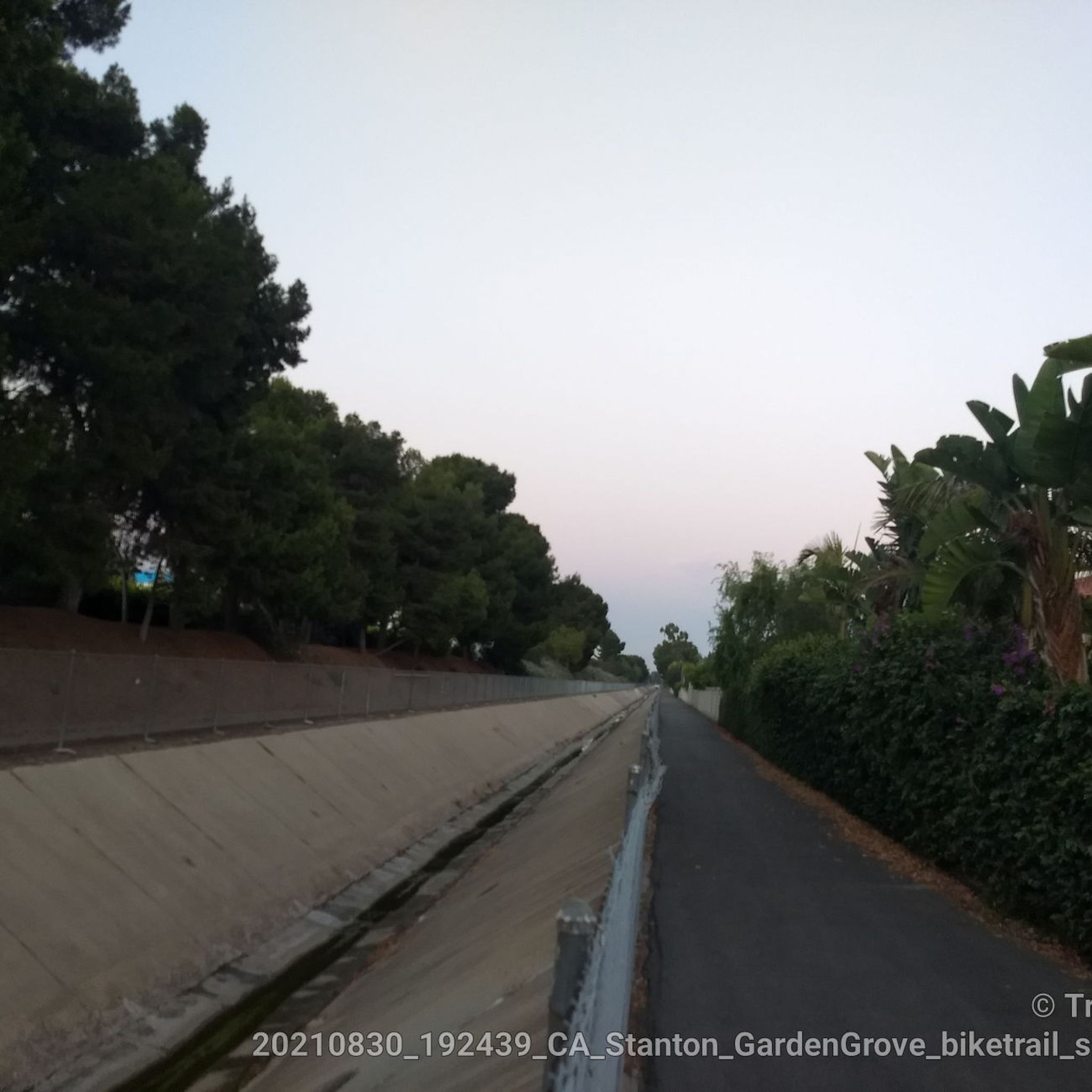
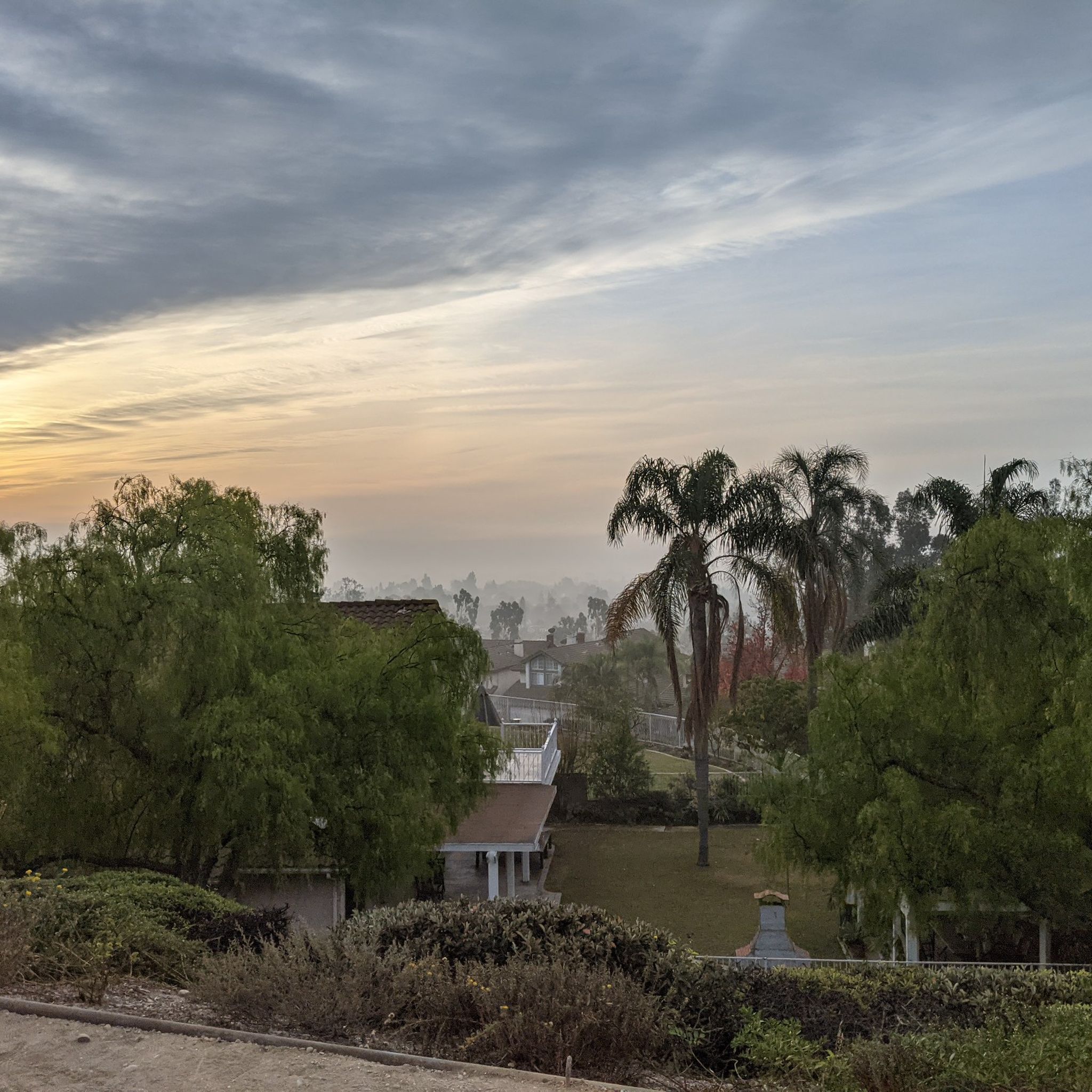
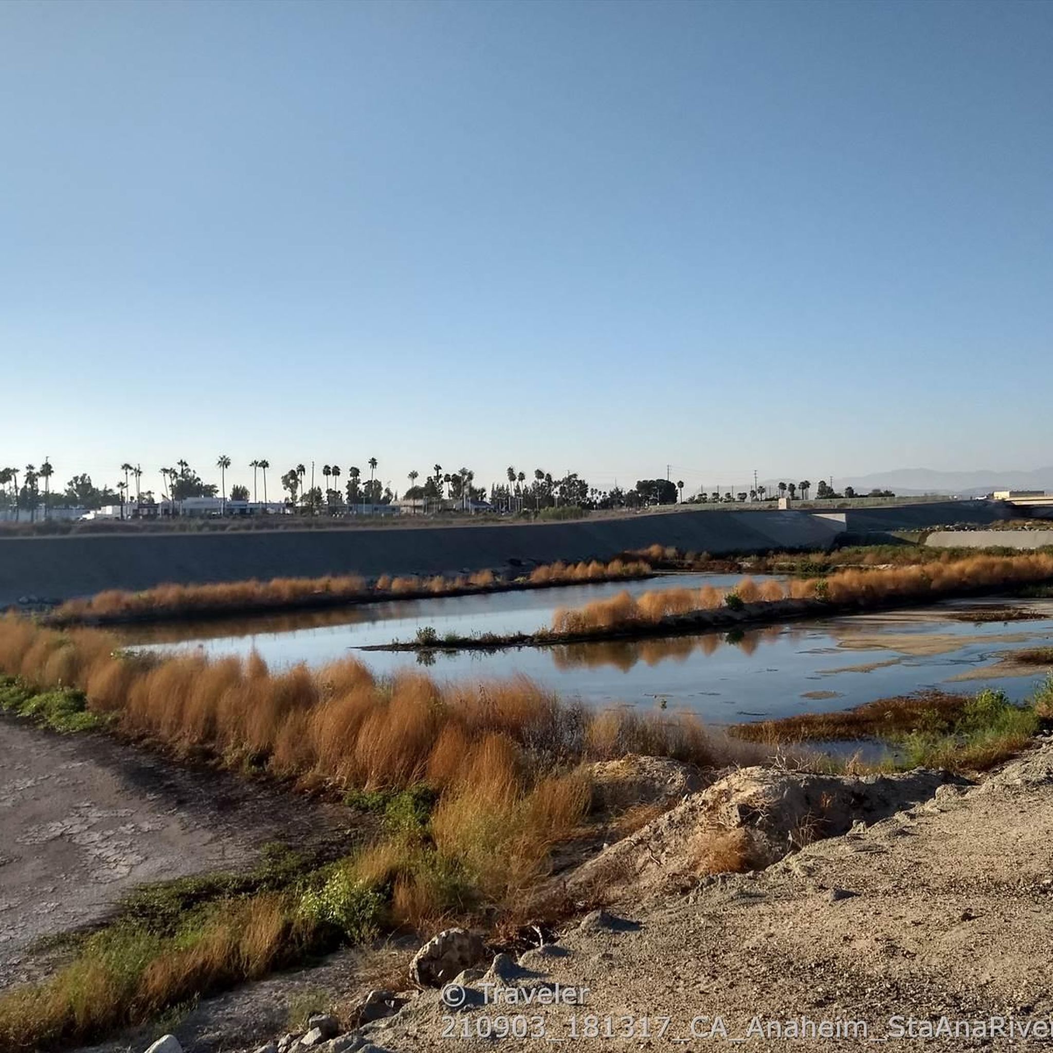


Tips from the Community


This is a beautiful lake, definitely a pleasant spot for a small break.
0
0

There are wide packed dirt trails that take you right up to the edge of the lake, which gleams a deep azure blue. This is a phenomenal place to run.
1
0

This trail is considered a "backbone trail" for the city of Fullerton and offers a nice hike through some green areas with views of local wildlife. It connects to the Juanita Cooke Trail and runs through Hiltscher Park.
0
0
This beautiful lake and the surrounding park area are great spots for hiking, fishing, picnicking and more. It also has an Equestrian Center for a local riding group.
0
0
This is a beautiful lake, definitely a pleasant spot for a small break.
0
0

Frequently Asked Questions
How many hiking trails are available around Buena Park?
There are over 25 hiking trails around Buena Park, offering a diverse range of experiences from urban green spaces to natural features. The komoot community has explored more than 200 routes in the area.
What kind of terrain can I expect on hikes near Buena Park?
Hiking around Buena Park features a mix of urban green spaces, regional parks with geological interest, and trails offering views of the surrounding hills. You'll find varied terrain, from paved paths suitable for easy strolls to natural dirt trails for more challenging hikes.
Are there easy trails suitable for beginners or casual walkers?
Yes, Buena Park offers many easy trails. For instance, the Juanita Cooke Trail to Hiltscher Park Trail — Fullerton is an easy 3.2-mile path, perfect for a relaxed outing. Overall, 18 of the available routes are rated as easy.
Are there any challenging or difficult hikes in the area?
For those seeking a more strenuous adventure, there is at least one difficult route available. The Laguna Lake, Brea Creek, & Hiltscher Park loop — Fullerton is a challenging 12.3-mile hike with significant elevation gain, offering a rewarding experience for experienced hikers.
Are there family-friendly hiking options around Buena Park?
Absolutely. Parks like Ralph B. Clark Regional Park are excellent for families, offering amenities like playgrounds, fishing spots, and easy trails. The Ralph B. Clark Regional Park loop — Fullerton is an easy 1.4-mile trail, ideal for families with children.
Can I bring my dog on the hiking trails?
Many trails in the Buena Park area are dog-friendly, though leash rules typically apply. For example, the Nora Kuttner Recreational Trail is a popular option for hikers with dogs, offering a mix of urban and natural sections.
What natural features or landmarks can I see while hiking?
The trails around Buena Park offer views of various natural features. You can explore the geological scenery and ice age fossil exhibits at Ralph B. Clark Regional Park. Many routes also feature views of Laguna Lake and the surrounding hills, including the West Coyote Hills.
Are there any circular hiking routes available?
Yes, several circular routes are available. A popular choice is the Laguna Lake lollipop loop via Juanita Cooke Trail — Fullerton, a moderate 5.5-mile trail that offers scenic views and brings you back to your starting point.
Is parking available at the trailheads?
Parking is generally available at the major parks and trailheads in and around Buena Park. For specific routes like those in Ralph B. Clark Regional Park or near Laguna Lake, designated parking areas are usually provided for public access.
How accessible are the hiking trails by public transport?
While some parks and trailheads may be accessible via local bus routes, public transport options can vary. It's advisable to check local transit schedules and routes for specific trailheads like Ralph B. Clark Regional Park or those near Laguna Lake for the most up-to-date information.
What do other hikers say about the trails in Buena Park?
The hiking trails around Buena Park are highly rated by the komoot community, with an average score of 3.3 stars from more than 10 reviews. Hikers often praise the accessibility of nature within an urban setting and the variety of paths available for different skill levels.
What is the best time of year to hike around Buena Park?
Buena Park generally enjoys mild weather, making hiking enjoyable for much of the year. Spring and fall offer pleasant temperatures, while winter can also be suitable with cooler, clear days. Summer can be warm, so early morning or late afternoon hikes are recommended during hotter months.
Most popular attractions around Buena Park

Get inspired with the komoot mobile app


Explore more
Browse the best Hikes in other regions.
