The best walks and hikes around Fountain Valley
4.7
(24)
1,046
hikers
95
hikes
Hiking around Fountain Valley primarily features urban parks and recreational areas, offering accessible walking paths rather than rugged natural landscapes. The terrain is generally flat, with minimal elevation changes, making it suitable for casual strolls and family-friendly outings. Key green spaces like Mile Square Regional Park provide open areas for outdoor activities within the suburban environment.
Best hiking trails around Fountain Valley
- The most popular hiking route is Mile Square Regional Park loop, a 4.0 miles (6.4 km) trail…
Last updated: July 8, 2026
7
hikers
2.77km
00:43
10m
20m
The Talbert Lake loop offers a delightful escape into nature, winding around the picturesque lake and through diverse ecological zones. You'll encounter coastal sage scrub and riparian vegetation, with the…
3
hikers
5.53km
01:25
20m
20m
Explore the easy 3.4-mile Talbert Nature Preserve hike in Costa Mesa, offering diverse plant zones and wildlife viewing.

Sign up for free
2
hikers
1.51km
00:23
10m
0m
The Lake Huntington Trail offers a delightful, easy escape into nature right in Huntington Beach Central Park. This 0.9-mile (1.5 km) loop is a mix of paved and wide dirt…
1
hikers
11.5km
02:54
20m
20m
The Santa Ana River Trail offers a fascinating blend of urban and natural environments, making it a great option if you want to experience the diverse landscapes of Orange County.…
7.41km
01:52
0m
20m
The Santa Ana River Trail offers a surprisingly varied experience for an easy urban hike. This 4.6-mile (7.4 km) route, with a mere 11 feet (3 metres) of elevation gain,…
Get access to more routes and recommendations from other explorers.
Sign up for free
Already have an account?
Our route recommendations are based on thousands of hikes, rides, and runs completed by other people on komoot.
Start today with a free account
Your next adventure awaits.
Login or Signup


Tips from the Community

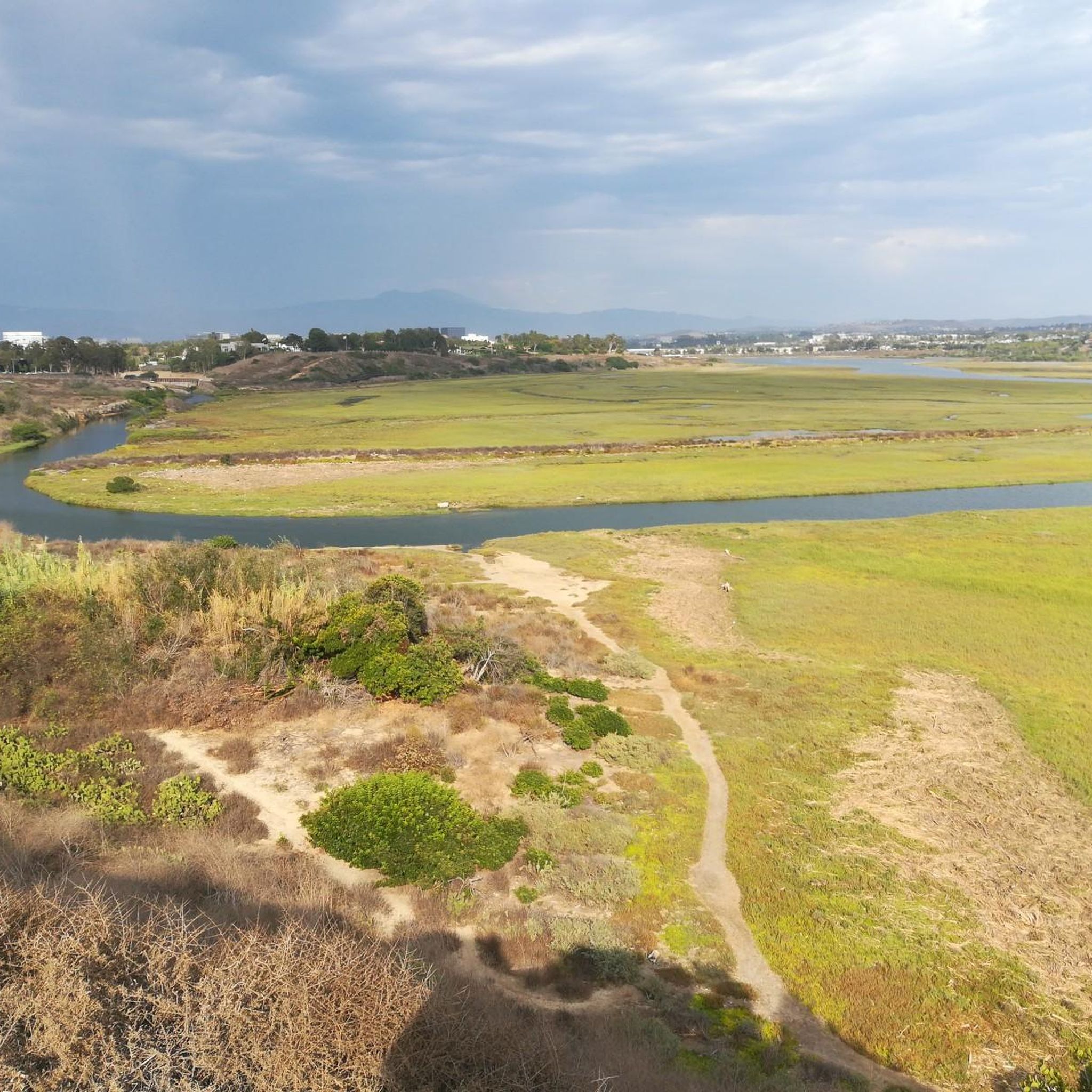
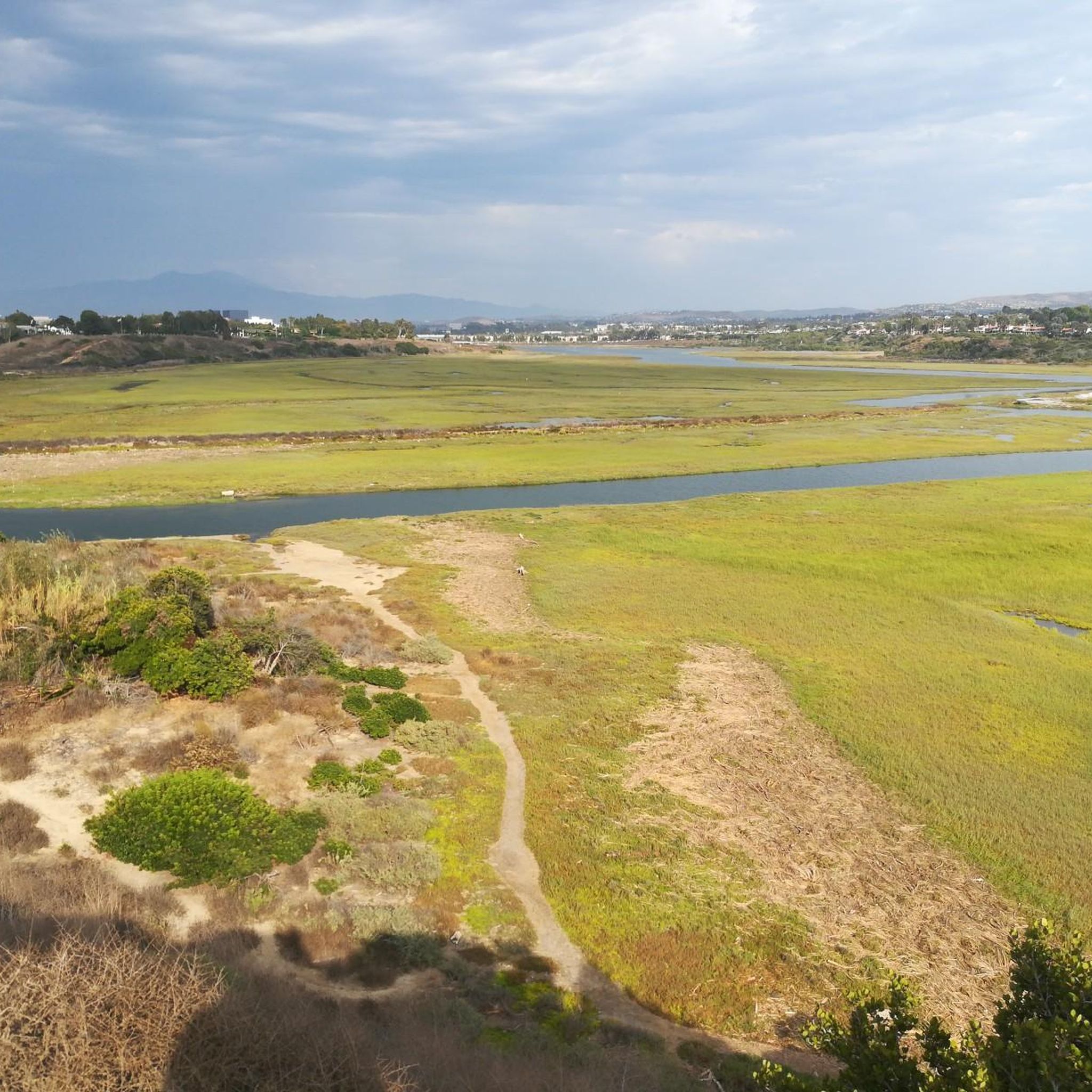
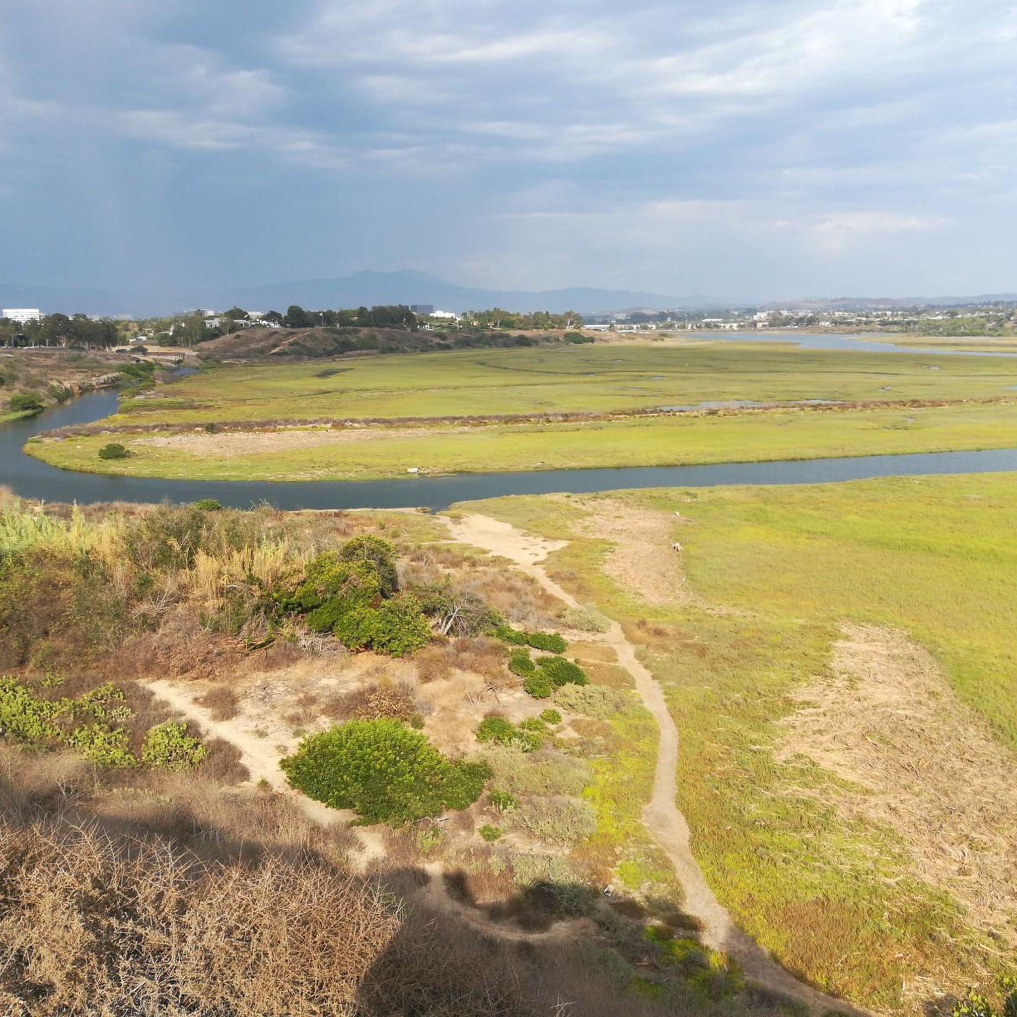
There is a sandy dirt beach and a small pier that grant access to the lake. The trails around the water's edge grant nice views of the park's flora and fauna.
0
0

Spanning nearly 200 acres, Talbert Regional Park offers scenic trails perfect for hiking, biking and jogging. A joint project between the parks department and Coastal Conservancy, this nature preserve cultivates native plant zones, recreating the landscape that existed much before modern development took over the area. As an exceptional recreational facility and wildlife refuge, Talbert allows visitors to immerse themselves in six botanical areas modeled after the changing climate along the Santa Ana River. With year-round access, it's a treasured spot to experience natural beauty.
0
0
Spanning nearly 200 acres, Talbert Regional Park offers scenic trails perfect for hiking, biking and jogging. A joint project between the parks department and Coastal Conservancy, this nature preserve cultivates native plant zones, recreating the landscape that existed much before modern development took over the area. As an exceptional recreational facility and wildlife refuge, Talbert allows visitors to immerse themselves in six botanical areas modeled after the changing climate along the Santa Ana River. With year-round access, it's a treasured spot to experience natural beauty.
1
0

A path connecting the SART with Placentia Avenue runs through the park. The path is narrow and can be a little bumpy in spots, but really nice surroundings.
0
0

There's a nice paved path connecting Placentia and the SART at the far north end of Talbert Preserve.
2
0

In this park you can have some nature in the city.
1
0
Frequently Asked Questions
How many hiking trails are available in Fountain Valley?
Fountain Valley offers a selection of over 60 hiking and walking routes. These primarily feature urban parks and recreational areas, providing accessible paths for casual strolls and outdoor activities within the suburban environment.
What is the typical terrain and difficulty of trails in Fountain Valley?
The terrain in Fountain Valley is generally flat with minimal elevation changes, making most trails easy to moderate. The routes are defined by urban parks, paved paths, and recreational green spaces, suitable for various ability levels. For example, the Mile Square Regional Park loop is an easy, paved trail.
Are there family-friendly or easy trails suitable for beginners?
Yes, Fountain Valley is well-suited for families and beginners. The majority of routes are classified as easy, offering accessible walking paths through local parks. The Huntington Central Park loop is a popular easy option, perfect for a leisurely outing.
Can I bring my dog on the hiking trails in Fountain Valley?
Many urban parks in Fountain Valley, including those with walking paths, are generally dog-friendly, often requiring dogs to be on a leash. It's always best to check specific park regulations before your visit to ensure a pleasant experience for you and your pet.
Are there any circular or loop hikes available?
Yes, several popular routes in Fountain Valley are circular. The Mile Square Regional Park loop is a well-known example, offering a paved circuit through a significant urban green space. Another option is the Santa Ana River Trail loop from Fairview Park, which provides views of the waterway.
What natural features or landmarks can I expect to see along the trails?
While Fountain Valley is not known for dramatic natural landscapes, you can explore various points of interest. Along some routes, you might encounter areas like Bolsa Bay or the Bolsa Chica Ecological Reserve, which offer opportunities for birdwatching and enjoying coastal wetlands. The Santa Ana River Trail loop follows the river, providing views of the waterway.
Where can I find parking when hiking in Fountain Valley?
Most major parks in Fountain Valley, such as Mile Square Regional Park and Fairview Park, offer dedicated parking facilities for visitors. These are typically easily accessible, making it convenient to start your hike.
What is the best time of year to hike in Fountain Valley?
Fountain Valley enjoys a mild climate year-round, making hiking pleasant in most seasons. Spring and fall offer comfortable temperatures, while summer can be warm, so early morning or late afternoon hikes are recommended. Winter is generally mild and suitable for outdoor activities.
Are there opportunities for wildlife viewing?
While not a wilderness area, parks like Mile Square Regional Park and areas near the Bolsa Chica Ecological Reserve can offer opportunities for birdwatching and observing local flora and fauna, especially in wetland habitats.
What do other hikers enjoy most about the trails in Fountain Valley?
The trails in Fountain Valley are highly rated by the komoot community, with an average score of 4.9 stars from over 20 reviews. Hikers often praise the accessibility of the urban parks, the well-maintained paved paths, and the pleasant environment for casual walks and family outings.
Are there any longer or more challenging routes for experienced hikers?
While most trails are easy to moderate, there are a few longer options. For instance, the Talbert Regional Park to Huntington Beach Pier route is a more challenging 13.6-mile (21.9 km) hike, offering a longer coastal experience.
Are there trails suitable for wheelchairs or strollers?
Given the prevalence of paved paths and generally flat terrain in Fountain Valley's urban parks, many sections are suitable for wheelchairs and strollers. The Mile Square Regional Park loop, for example, is a paved route that is generally accessible.
What parks in Fountain Valley offer hiking trails?
Key green spaces offering hiking and walking paths in Fountain Valley include Mile Square Regional Park, which provides extensive paved loops, and areas around Fairview Park, which connects to the Santa Ana River Trail. Nearby, Huntington Central Park also offers popular walking routes.
Most popular routes around Fountain Valley
Most popular attractions around Fountain Valley

Get inspired with the komoot mobile app


Explore more
Browse the best Hikes in other regions.
