The best walks and hikes around El Segundo
4.6
(90)
5,659
hikers
131
hikes
Hiking around El Segundo primarily features coastal paths and urban greenways. The landscape is defined by flat, sandy beaches and paved trails like the South Bay Bike Path, which runs along the Pacific shoreline. While the city itself is mostly flat, it serves as a convenient access point to the more varied terrain of the nearby Palos Verdes Peninsula and the Santa Monica Mountains.
Best hiking trails around El Segundo
- The most popular hiking route is Manhattan Beach via the…
Last updated: October 24, 2026
5
hikers
5.14km
01:19
20m
20m
Easy hike. Easily walkable paths.
2
hikers
6.93km
01:47
30m
40m
Easy hike. Easily walkable paths.

4.94km
01:16
20m
20m
Easy hike. Easily walkable paths.
56
hikers
5.07km
01:19
40m
40m
Easy hike. Easily walkable paths.
10
hikers
14.5km
03:41
50m
40m
Moderate hike. Good fitness required. Easily walkable paths.
Get access to more routes and recommendations from other explorers.
Already have an account?
Our route recommendations are based on thousands of hikes, rides, and runs completed by other people on komoot.
Start today with a free account
Your next adventure awaits.
Tips from the Community


Has some bumps here and there nothing too crazy, fun ride
0
0
Scenic beach ride just watch for distracted walkers.
0
0

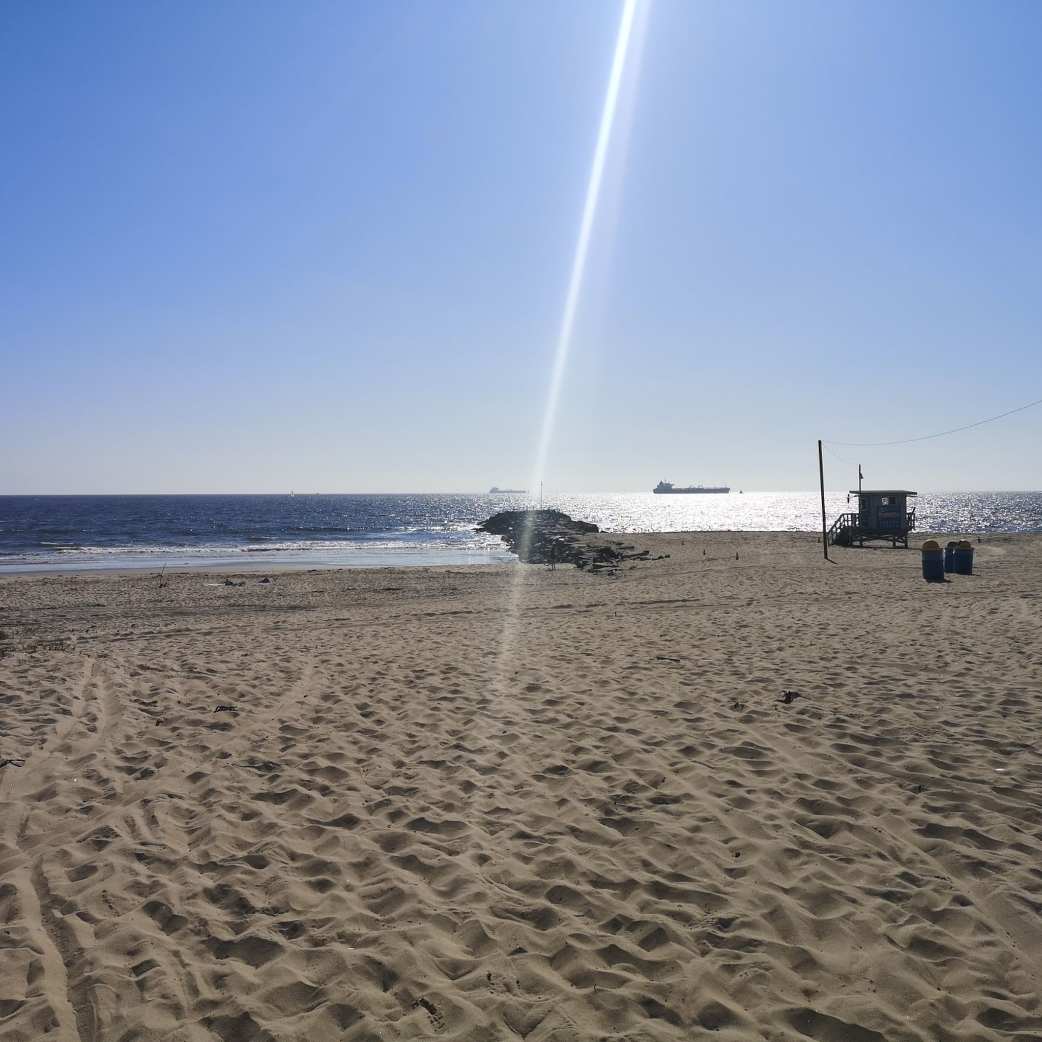
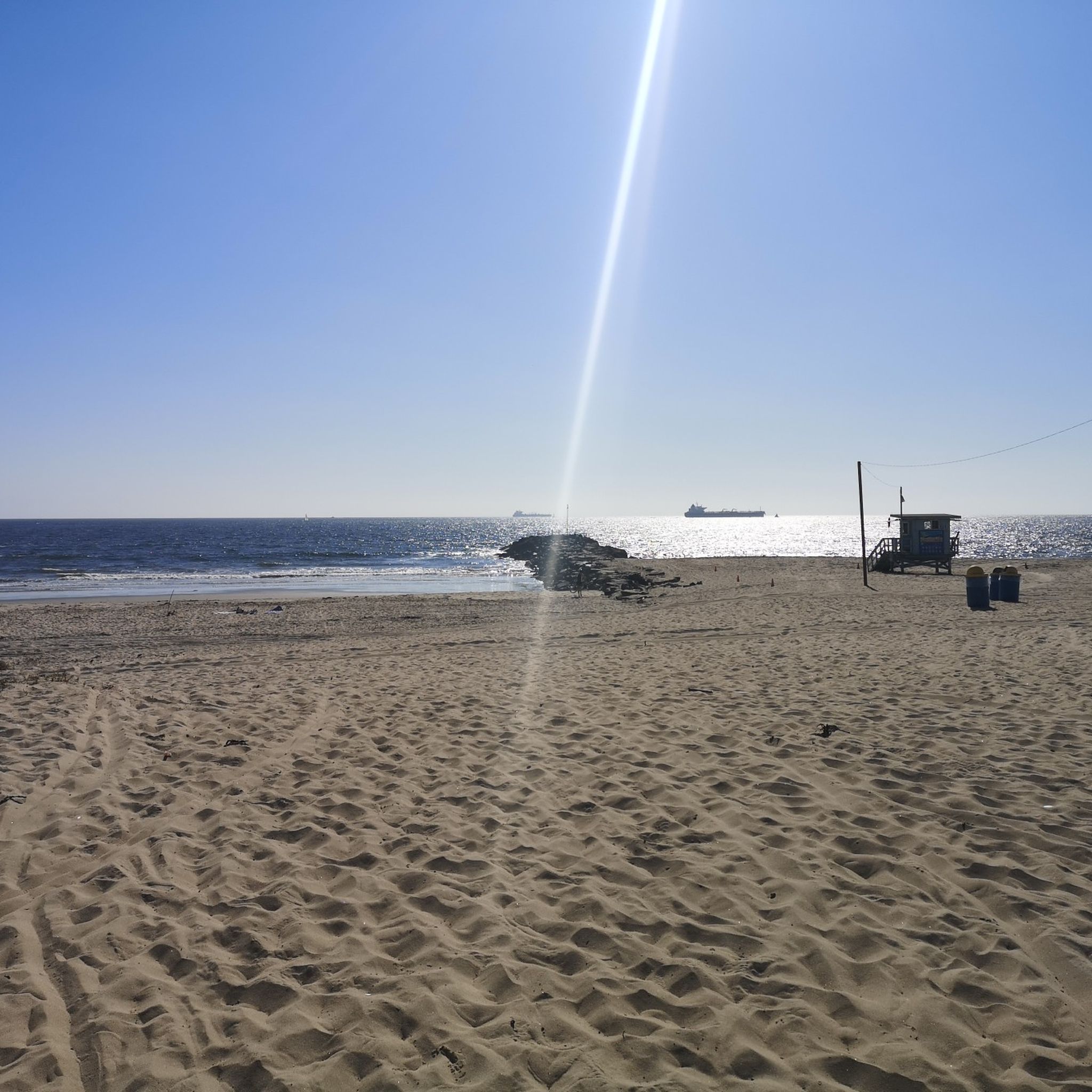
Free public showers and restrooms with taps to refill your drinking water bottle are provided every one or two miles along the bike trail in this beach park.
1
0
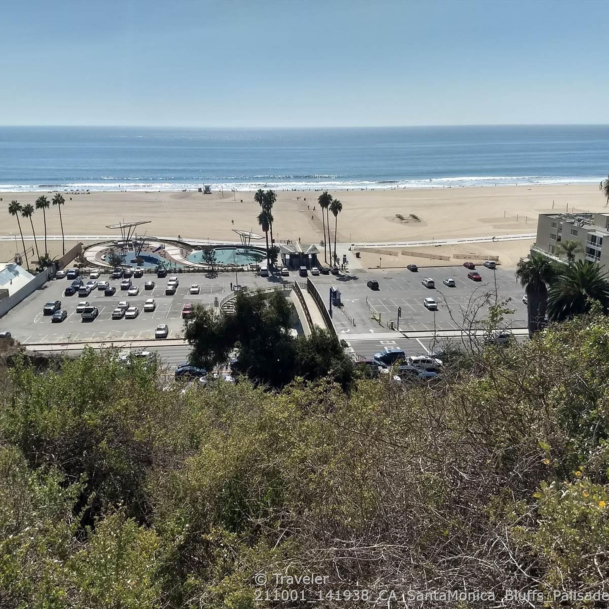
Access trails lead down from the aptly-named Vista del Mar Boulevard down to the long sandy beach. A paved service road and the paved South Bay Bike Trail run at the bottom of the dunes along the beach.
1
0

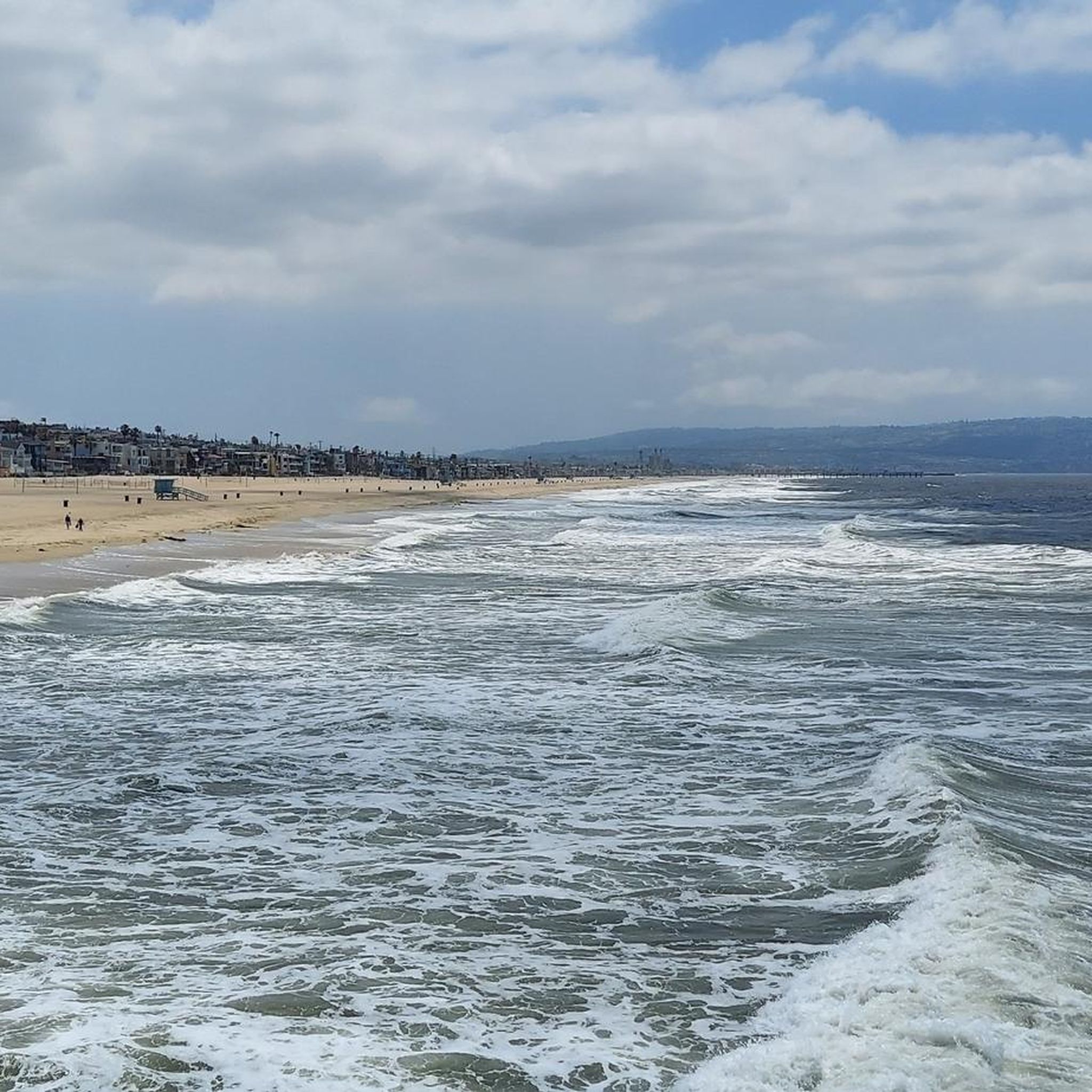
The view is far, the waves are gigantic, the beach is wonderful.
0
0
Frequently Asked Questions
Are there any dog-friendly trails near El Segundo?
Yes, many of the local paths are suitable for walking with a leashed dog. A popular choice is Veterans Parkway, a scenic trail known for its shade trees and benches. For a more natural, unpaved experience, the Bluff Creek Trail is a two-mile dirt path that is also frequented by dog walkers.
What are some good, easy hikes for beginners or families?
The area is well-suited for beginners, with over 75 easy routes available. Most trails are flat, paved coastal paths. For a straightforward and scenic family outing, consider the El Segundo Beach – Dockweiler Hang Gliding Center loop from Manhattan Beach. It's a relatively short walk along the coast with great ocean views.
Are there any challenging hikes or mountains near El Segundo?
While El Segundo itself is mostly flat, it serves as an excellent base for accessing more challenging terrain. For significant elevation gain and mountain hiking, you'll need to drive a short distance. The Santa Monica Mountains to the north and the Palos Verdes Peninsula to the south both offer numerous trails with steep climbs and panoramic views, typically within a 30-40 minute drive.
What is the terrain like on the hiking trails around El Segundo?
The immediate area is characterized by flat, paved coastal paths like the South Bay Bike Path and wide, sandy beaches. You'll also find some urban greenways with dirt or wood-chip surfaces, such as Veterans Parkway. For more rugged, hilly, and natural chaparral environments, you'll want to explore the nearby Palos Verdes Peninsula or Santa Monica Mountains.
Can I find circular or loop trails in the area?
Yes, there are several loop trails available. These are great for exploring an area without having to retrace your steps. A good example is the Dockweiler State Beach loop from Playa del Rey, which provides a pleasant circuit along the coast.
What should I wear for a hike in the El Segundo area?
For coastal walks, comfortable walking shoes, light layers, and sun protection like a hat and sunscreen are essential, as there is often little shade. If you plan to hike in the nearby Santa Monica Mountains or Palos Verdes, sturdy hiking shoes with good grip are recommended due to the rocky and uneven terrain.
Are there any trails with unique features like the Sand Dune Park?
Sand Dune Park in nearby Manhattan Beach offers a very unique workout with its steep, 100-foot-high sand dune. It's a popular spot for fitness training but be aware that reservations are often required to access the main dune. The park also has other, more conventional trails in its nature preserve area.
What do other hikers think of the trails around El Segundo?
The hiking routes around El Segundo are highly regarded by the komoot community, earning an average rating of 4.6 out of 5 stars. Reviewers frequently praise the stunning Pacific Ocean views, the well-maintained paved paths, and the easy accessibility of the coastal trails.
How many hiking trails are available around El Segundo?
There is a wide variety of options, with over 100 hiking routes to explore in and around El Segundo. The majority of these are rated as easy, consisting of flat coastal walks, but there are also dozens of moderate trails and a few difficult ones for those seeking a challenge.
Where can I find the best ocean views while hiking?
Nearly all trails in the immediate El Segundo area offer fantastic ocean views, as they run along the coastline. The South Bay Bike Path is a prime example, providing miles of uninterrupted Pacific scenery. For elevated coastal views, the trails on the Palos Verdes Peninsula or in the Santa Monica Mountains, like at Los Leones Canyon, are excellent choices.
Are there any longer, more moderate hikes starting from the coast?
Yes, if you're looking for a longer coastal walk, the Dockweiler Beach to Marina Del Rey — Los Angeles trail is a great option. It's a 9-mile (14.5 km) route that follows the shoreline, offering a more extended hiking experience while remaining mostly flat.
Most popular routes around El Segundo
Most popular attractions around El Segundo

Get inspired with the komoot mobile app


Explore more
Browse the best Hikes in other regions.
