The best road cycling routes around Pasadena
4.6
(172)
4,815
riders
47
rides
Road cycling around Pasadena offers diverse landscapes at the base of the San Gabriel Mountains. The region features varied terrain, from urban settings to canyons and mountain ascents. Cyclists can explore routes that traverse lush areas like the Arroyo Seco and lead to significant elevation gains in the surrounding mountains.
Best road cycling routes around Pasadena
- The most popular road cycling route is Pasadena to Mount Wilson, a 47.8 miles (76.9 km) trail that takes about 4 hours 53…
Last updated: August 17, 2026
5.0
(1)
250
riders
76.9km
04:53
1,860m
1,860m
Embark on the Pasadena to Mount Wilson racebike route, a difficult ascent that takes you high above the Los Angeles basin. This challenging ride covers 47.8 miles (76.9 km) and…
183
riders
78.2km
04:16
1,540m
1,540m
Hard road ride. Very good fitness required. Some segments of this route may be unpaved and difficult to ride.

Sign up for free
219
riders
129km
07:05
2,430m
2,430m
Hard road ride. Very good fitness required. Mostly well-paved surfaces and easy to ride.
73
riders
65.1km
03:13
870m
870m
Moderate road ride. Good fitness required. Mostly well-paved surfaces and easy to ride.
4.8
(5)
81
riders
10.4km
00:32
110m
110m
Easy road ride. Great for any fitness level. Mostly well-paved surfaces and easy to ride.
Get access to more routes and recommendations from other explorers.
Sign up for free
Already have an account?
Our route recommendations are based on thousands of hikes, rides, and runs completed by other people on komoot.
Start today with a free account
Your next adventure awaits.
Login or Signup
Tips from the Community

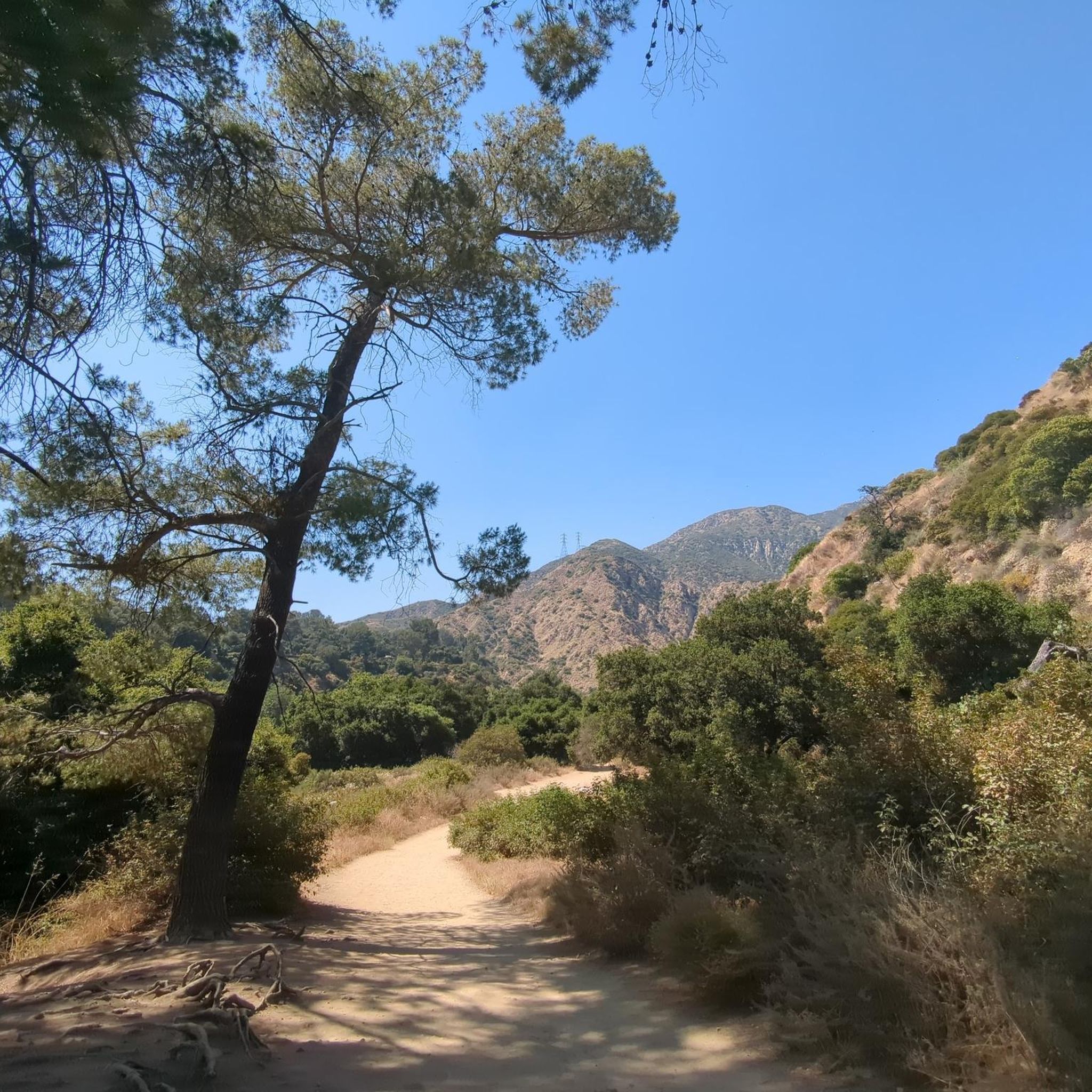
Cycle and running friendly. Great for adding a few extra miles to your ride
0
0

Climb out of the Brookside Golf Club area and into the Pasadena suburban area. This climb has a nice shoulder and is lined with trees.
0
0

The Rose Bowl Loop Trail is a 3.3-mile paved loop that includes both the stadium and Brookside Golf Course. It's a local favorite fitness track for runners, walkers, and cyclists with picturesque views of the San Gabriel Mountains. This 5K loop is often featured in fundraising events, including the annual Walk to End Epilepsy.
0
0

This is where you leave Crystal Lake Road to get to Crystal Lake. Crystal Lake is a beautiful lake in the San Gabriel Mountains. If you want to stay the night, there are campsites on the banks of the lake.
0
0

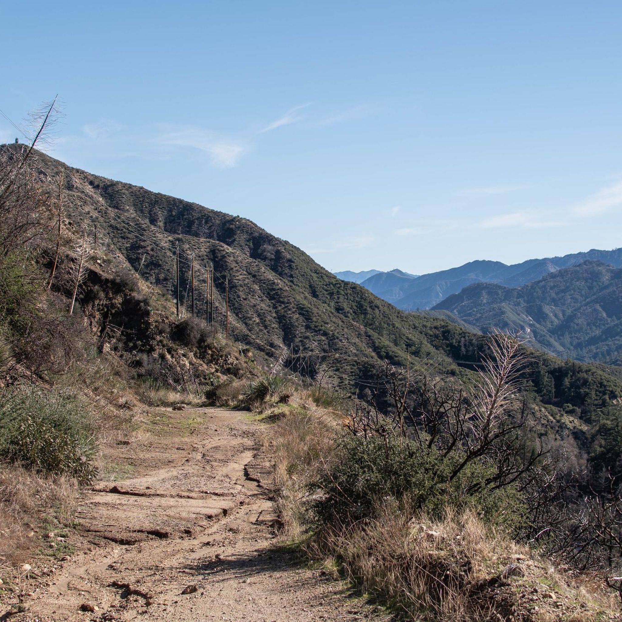
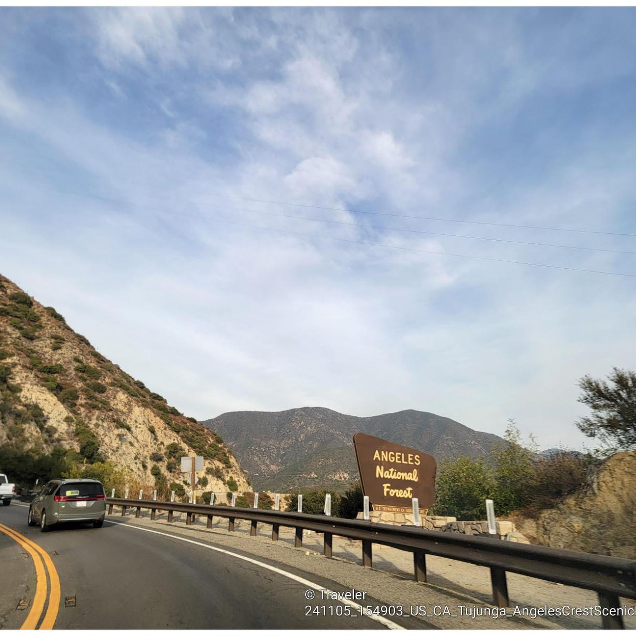
The Crystal Lake climb begins in the Angeles National Forest, offering cyclists a moderately challenging route through some scenic landscapes. As you approach the 7-mile mark, the climb starts to reward your efforts with dramatic views of the winding switchbacks and the canyon below. The final stretch on Crystal Lake Road provides a peaceful, lightly trafficked road, ideal for cyclists to finish the climb on a well-maintained path with stunning views ahead.
0
0
Highway 39 climbs deep into Southern California’s San Gabriel Mountains, starting with a steady grade that twists through rugged terrain and offers sweeping views. After passing multiple switchbacks, a Crystal Lake turnoff, and a gated parking area around mile 12, the road softens slightly, continuing along a scenic ridgeline toward the junction with Angeles Crest Highway. A final moderate push leads you to Dawson Saddle at just under 8,000 feet, a summit raced by the pros and known as one of California’s most difficult ascents.
0
0
Frequently Asked Questions
How many road cycling routes are available in Pasadena?
Pasadena offers a wide variety of road cycling routes, with over 370 routes in and around the city. These cater to various skill levels, from moderate rides to challenging climbs.
What kind of terrain can I expect on road cycling routes in Pasadena?
Road cycling in Pasadena features diverse terrain, ranging from urban settings to canyons and significant mountain ascents. You'll find routes traversing lush areas like the Arroyo Seco, as well as challenging climbs into the San Gabriel Mountains.
Are there challenging road cycling routes for experienced riders in Pasadena?
Yes, Pasadena is known for its challenging routes with significant elevation gains. For instance, the Pasadena to Mount Wilson route is a difficult 47.8-mile trail with extensive canyon views and a climb of over 5,100 feet. Another demanding option is the Red Box Gap – Mount Wilson Summit Viewpoint loop from Memorial Park, an 81.7-mile trail through mountain passes.
Are there easier road cycling options for beginners or families in Pasadena?
While many routes offer significant challenges, Pasadena also has options suitable for moderate riders. The Arroyo Seco Network provides 22 miles of multi-terrain trails, perfect for a more relaxed ride. Additionally, komoot lists 14 easy routes and 20 moderate routes, ensuring there are choices for various ability levels.
What are some notable landmarks or natural features I can see while cycling in Pasadena?
Many routes offer scenic views and pass by significant landmarks. You might cycle past the Rose Bowl Stadium or the Norton Simon Museum on routes like the Pasadena Loop. The Pasadena to Mount Wilson route culminates at the Mount Wilson Observatory, offering panoramic vistas. You can also explore the Historic Colorado Street Bridge or the Duarte Bike Trail.
Can I find routes with scenic viewpoints in Pasadena?
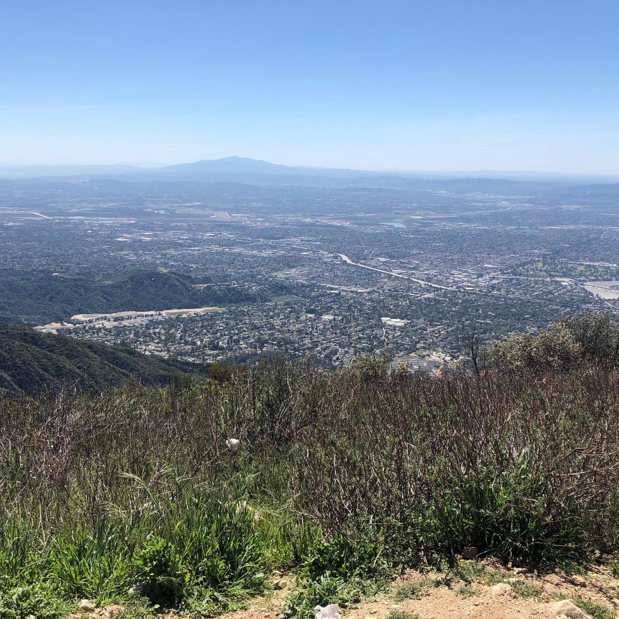
Absolutely. The region is rich with scenic viewpoints, particularly in the San Gabriel Mountains. The Angeles Crest Highway to Mount Wilson offers stunning canyon views, and the Azusa Climb provides fantastic views of the San Gabriel Valley from its peak. Many routes in the mountains will reward you with expansive vistas.
Are there any waterfalls accessible from road cycling routes?
While not directly on a road cycling route, the Eaton Canyon Waterfall is a prominent natural feature in the area. Eaton Canyon Natural Area, a 190-acre preserve, is easily accessible from Pasadena and features this beautiful 50-foot waterfall, making for a great side trip or post-ride exploration.
What is the best time of year for road cycling in Pasadena?
Pasadena boasts a Mediterranean climate with approximately 300 days of sunshine annually, making it ideal for year-round outdoor pursuits. However, spring and fall offer particularly pleasant temperatures for cycling, avoiding the hotter summer months and cooler winter mornings.
Are dogs allowed on road cycling trails in Pasadena?
Many parks and trails in Pasadena are dog-friendly, though specific regulations may vary by location. It's always best to check local signage or park websites for the most current rules regarding pets on specific cycling paths or trails.
Are there circular road cycling routes in Pasadena?
Yes, many road cycling routes in Pasadena are designed as loops. A popular example is the Pasadena Loop / Flintridge Loop, a 20-mile (33 km) circular route. The Brookside Park – Brookside Park loop from Del Mar is another moderate loop option.
How long are the typical road cycling routes in Pasadena?
Route lengths vary significantly in Pasadena. You can find shorter loops like the Pasadena Loop at around 20 miles (33 km), or more extensive rides such as the Pasadena to Mount Wilson route, which is 47.8 miles (76.9 km). The longest route mentioned is the Red Box Gap – Mount Wilson Summit Viewpoint loop from Memorial Park at 81.7 miles (131.5 km).
What do other cyclists say about road cycling in Pasadena?
The road cycling routes in Pasadena are highly rated by the komoot community, with an average score of 4.9 stars from more than 20 reviews. Cyclists often praise the varied terrain, the stunning mountain and canyon views, and the diverse options available for different skill levels.
Where can I find parking for road cycling routes in Pasadena?
Parking availability varies depending on the trailhead. Many parks and natural areas, such as Hahamongna Watershed Park or Eaton Canyon Natural Area, offer designated parking lots. For routes starting in urban areas, street parking or public garages may be available. It's advisable to check specific starting points for parking details.
Most popular routes around Pasadena
Most popular attractions around Pasadena

Get inspired with the komoot mobile app


Explore more
Browse the best Road cycling routes in other regions.
