The best road cycling routes around Eastvale
5.0
(2)
217
riders
23
rides
Road cycling around Eastvale, California, benefits from the region's generally flat terrain, which was historically farmland. The area features an extensive park system and access to significant regional trails, providing varied cycling opportunities. Riders can explore routes along the Santa Ana River Trail, offering mostly paved surfaces and distant views of the San Gabriel Mountains. The city's commitment to developing a citywide bicycle network further enhances its appeal for road cyclists.
Best road cycling routes around Eastvale
- The most popular…
Last updated: July 13, 2026
34
riders
42.0km
02:32
390m
390m
Moderate road ride. Good fitness required. Mostly well-paved surfaces and easy to ride.
19
riders
49.8km
02:12
140m
140m
Moderate road ride. Good fitness required. Mostly well-paved surfaces and easy to ride.

Sign up for free
23
riders
57.0km
02:36
220m
220m
Moderate road ride. Good fitness required. Mostly well-paved surfaces and easy to ride.
10
riders
54.6km
02:22
310m
310m
Moderate road ride. Good fitness required. Mostly well-paved surfaces and easy to ride.
9
riders
Moderate road ride. Good fitness required. Mostly well-paved surfaces and easy to ride.
Get access to more routes and recommendations from other explorers.
Sign up for free
Already have an account?
Our route recommendations are based on thousands of hikes, rides, and runs completed by other people on komoot.
Start today with a free account
Your next adventure awaits.
Login or Signup

Tips from the Community

The boulevard is a part of Historic Route 66, which served as a cultural lifeblood of the United States from its inception in 1926 until the construction of interstate highways in the mid-late 1900s.
0
0
This smooth, paved, two-lane multi-use path takes you through the heart of Hidden Valley. The views from this part of the park are quite special.
0
0

Chino Airport sits among flat asphalt roads, and you can loop around it for a fun stop mid-ride. It’s quiet, and you might catch small planes taking off while you rest. There’s also an aircraft museum nearby with historic planes and cars—entry is $15 if you feel like exploring.
0
0

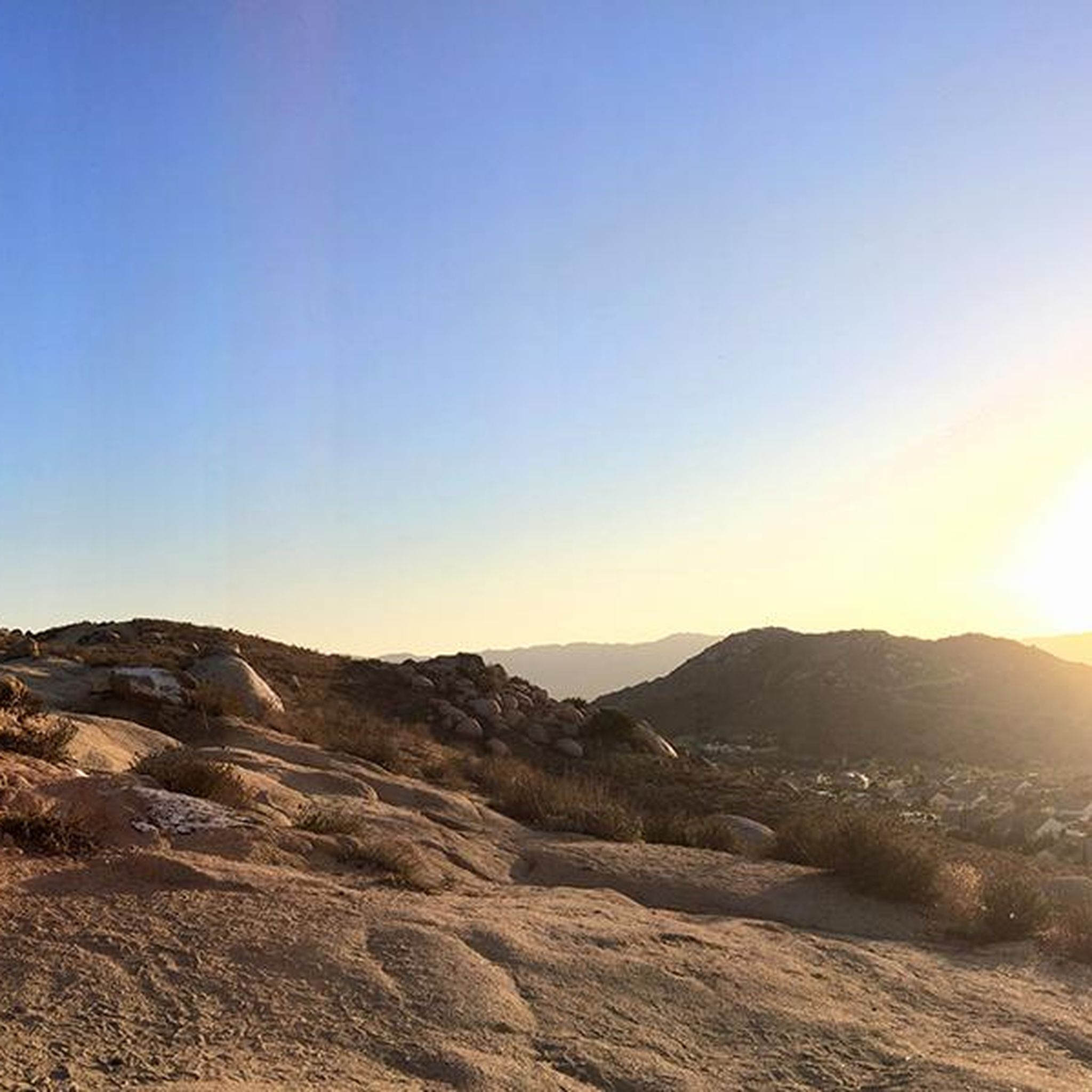
This view of Sierra Peak showcases one of the highest and most easily identifiable peaks in northern Orange County. It stands at 3,045 feet above sea level.
1
0

The Pacific Electric Trail is an almost 20-mile long trail that follows the original route of the Pacific Electric Railway. It is mostly paved and is not open to car traffic, but there are points where the trail crosses busy streets.
0
0

At Hidden Valley Viewpoint, you'll find a shaded tree, an observation area, and useful maps. The trail to the viewpoint is unpaved, so you might need to hop off your bike and push it. Please proceed with caution. It's a great place to take a break in the shade.
1
0
There is lots of parking here, and as you head away from the highway you have access to the paved two-lane Santa Ana River trail which stretches (nearly) all the way from San Bernardino to the Pacific Ocean. If you head west along the river trail you will come to Coal Canyon and can access the trails south of the highway.
1
0

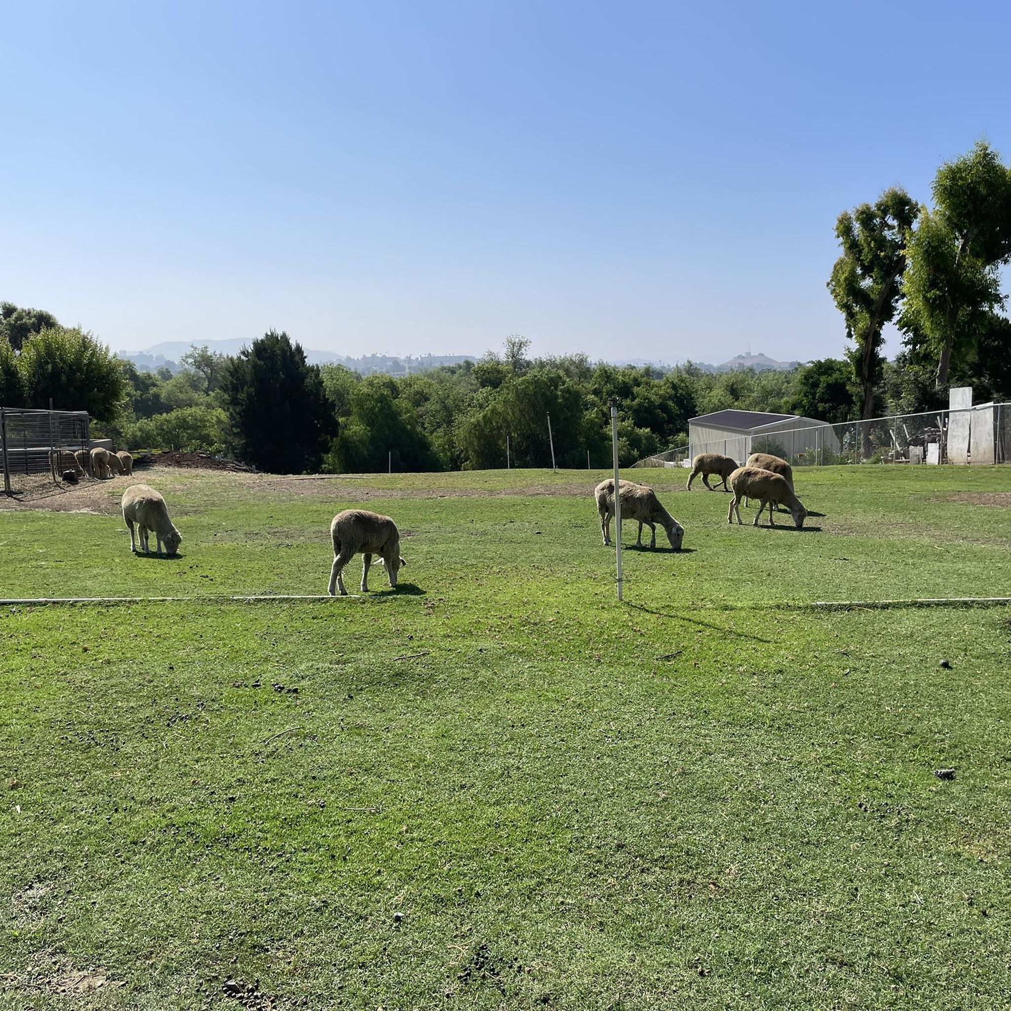
A nice neighborhood park with big fields for playing baseball, or just a game of fetch. There is a play area for the kids with the facilities nearby.
0
0
Frequently Asked Questions
What kind of terrain can I expect on road cycling routes around Eastvale?
Eastvale's road cycling routes are generally characterized by relatively flat terrain, as the area was historically farmland. You'll find mostly paved surfaces, especially along the Santa Ana River Trail, making for smooth rides. While predominantly flat, some routes, like the Citrus Park & Mount Rubidoux loop — Chino, include varied terrain and offer some elevation gain for a more dynamic experience.
Are there easy road cycling routes suitable for beginners in Eastvale?
Yes, Eastvale offers several easy road cycling routes perfect for beginners. The city's extensive park system and flat sections of trails provide a welcoming environment. For example, the Roadbike loop from Corona–West is an easy option, covering about 38 kilometers with moderate elevation changes. Eastvale Community Park is also known for beginner-friendly routes.
What are the best times of year to go road cycling in Eastvale?
Eastvale's mild climate and abundant sunshine make it an excellent destination for road cycling year-round. However, the spring and fall months generally offer the most comfortable temperatures for longer rides. Summers can be warm, so early morning or late afternoon rides are often preferred during those months.
Are there any scenic viewpoints or natural features along Eastvale's road cycling routes?
Absolutely. Many routes offer pleasant scenery. The Santa Ana River Trail provides a scenic ride along the river with views of the San Gabriel Mountains in the distance. Nearby attractions like Sierra Peak Summit offer expansive views over the region, including north Orange County and Corona/Riverside, with San Gorgonio Mountain on the horizon. Prado Regional Park, a short drive away, also features scenic wetlands, grasslands, and woodlands.
What do other road cyclists enjoy most about cycling in Eastvale?
The komoot community highly rates road cycling in Eastvale, with an average score of 4.0 stars. Cyclists often praise the accessibility of the flat park systems, the well-maintained river trails, and the distant mountain views that provide a pleasant backdrop. The variety of routes, from easy loops to more challenging moderate options, is also a highlight for many.
Are there any long-distance road cycling routes available from Eastvale?
Yes, Eastvale serves as a great starting point for longer rides. The Citrus Park & Mount Rubidoux loop — Chino is a substantial route, covering over 95 kilometers and taking approximately 4 hours and 16 minutes to complete. This route offers varied terrain and significant elevation gain, making it suitable for those seeking a longer challenge.
Can I find loop road cycling routes around Eastvale?
Many of the road cycling routes around Eastvale are designed as loops, offering convenient starting and ending points. Examples include the Anaheim Coves Trail – Café Biaani loop from Santa Ana River Trail Parking and the Roadbike loop from Santa Ana River Trail Parking, both providing circular paths along the Santa Ana River.
Are there any specific landmarks or points of interest I can see while cycling in Eastvale?
While cycling, you can enjoy the natural beauty of the Santa Ana River and its surrounding parks. For specific landmarks, nearby attractions include Pumpkin Rock and the scenic Sierra Peak Summit, which offers panoramic views. The Chino Airport is also a notable point of interest in the vicinity.
Are there family-friendly road cycling options in Eastvale?
Eastvale's commitment to developing parks and a citywide bicycle network makes it suitable for family-friendly cycling. The relatively flat terrain and wide-open spaces in parks like Eastvale Community Park and Riverwalk Park are ideal for families. Many of the easier, paved sections of the Santa Ana River Trail also provide safe and enjoyable rides for all ages.
Where can I find parking for road cycling routes in Eastvale?
Many of Eastvale's parks and trailheads offer convenient parking. For routes along the Santa Ana River Trail, you can typically find parking at designated trail access points. For example, the Anaheim Coves Trail – Café Biaani loop and the Roadbike loop from Santa Ana River Trail Parking both originate from Santa Ana River Trail Parking, indicating available facilities there. Additionally, routes like the Roadbike loop from Central Parking suggest parking availability at central locations.
How many road cycling routes are available around Eastvale?
There are 14 road cycling routes available around Eastvale. These routes cater to various skill levels, including 3 easy, 10 moderate, and 1 difficult option, ensuring there's a suitable ride for almost every cyclist.
Most popular attractions around Eastvale

Get inspired with the komoot mobile app


Explore more
Browse the best Road cycling routes in other regions.
