The best walks and hikes around Bienroder Lake
4.6
(3016)
19,980
hikers
1,391
hikes
Hiking around Bienroder Lake offers a diverse landscape centered on the natural swimming lake in Braunschweig. The area features accessible lakeside paths, including gravel and wood chip trails, providing views of the water and opportunities for bird observation. Several routes extend to the nearby Schunter River, which has undergone a renaturation project, creating revitalized riverbanks with clear water and increased biodiversity. The terrain is generally flat, with minimal elevation changes, making it suitable for various activity levels.
Best hiking trails…
Last updated: July 12, 2026
4.7
(6)
47
hikers
Easy hike. Great for any fitness level. Easily-accessible paths. Suitable for all skill levels.
4.3
(16)
70
hikers
Easy hike. Great for any fitness level. Easily-accessible paths. Suitable for all skill levels.

Sign up for free
4.8
(4)
15
hikers
Moderate hike. Good fitness required. Easily-accessible paths. Suitable for all skill levels.
5.0
(1)
13
hikers
2.24km
00:34
10m
10m
Easy hike. Great for any fitness level. Easily-accessible paths. Suitable for all skill levels.
7
hikers
Easy hike. Great for any fitness level. Easily-accessible paths. Suitable for all skill levels.
Get access to more routes and recommendations from other explorers.
Sign up for free
Already have an account?
Our route recommendations are based on thousands of hikes, rides, and runs completed by other people on komoot.
Start today with a free account
Your next adventure awaits.
Login or Signup

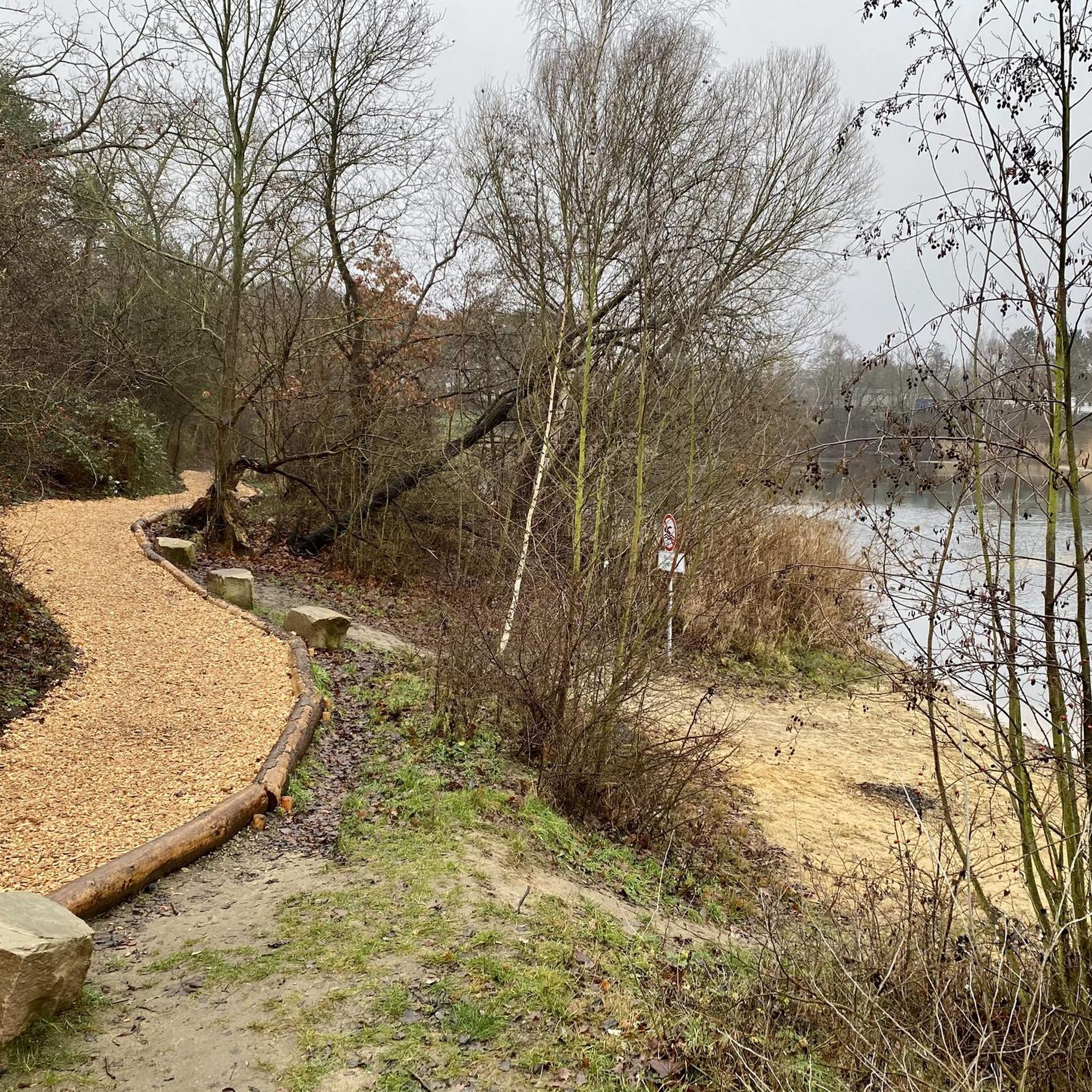
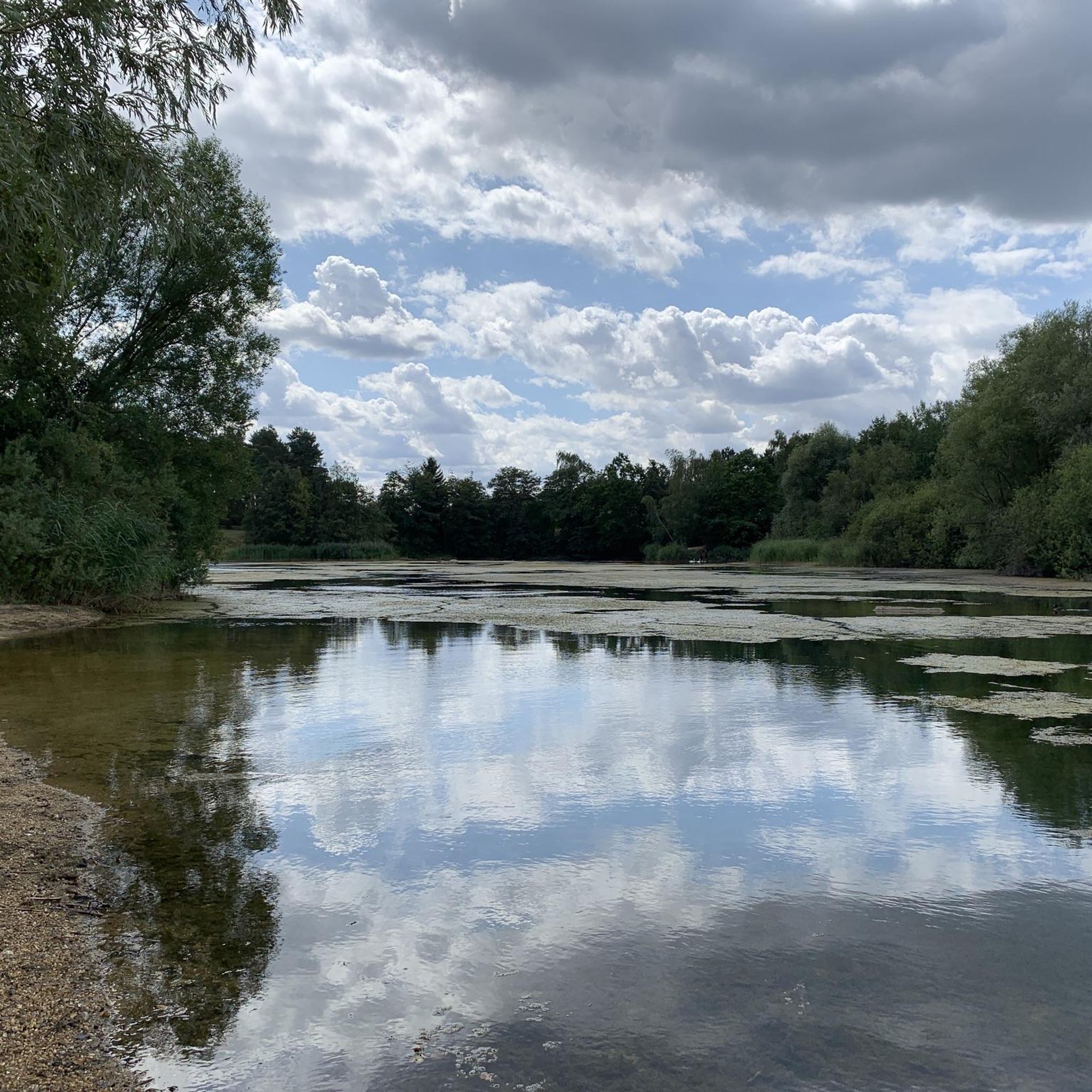
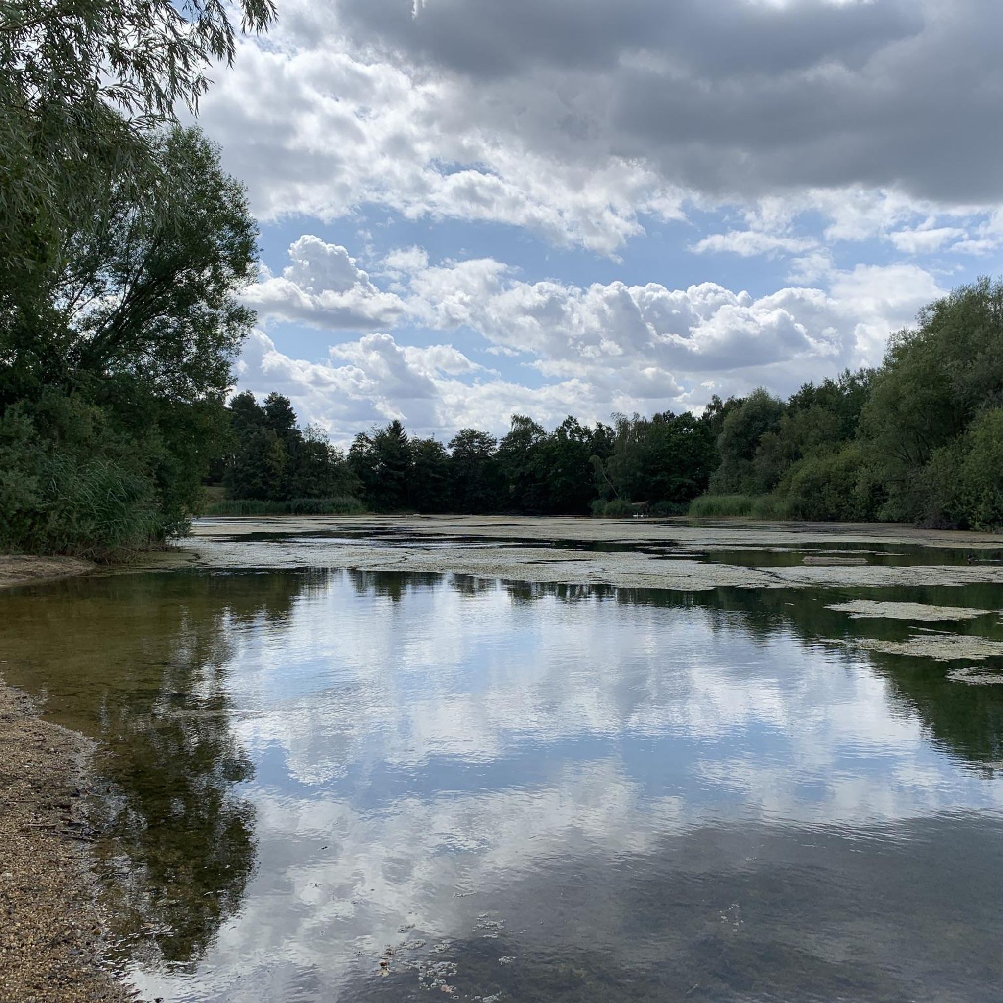
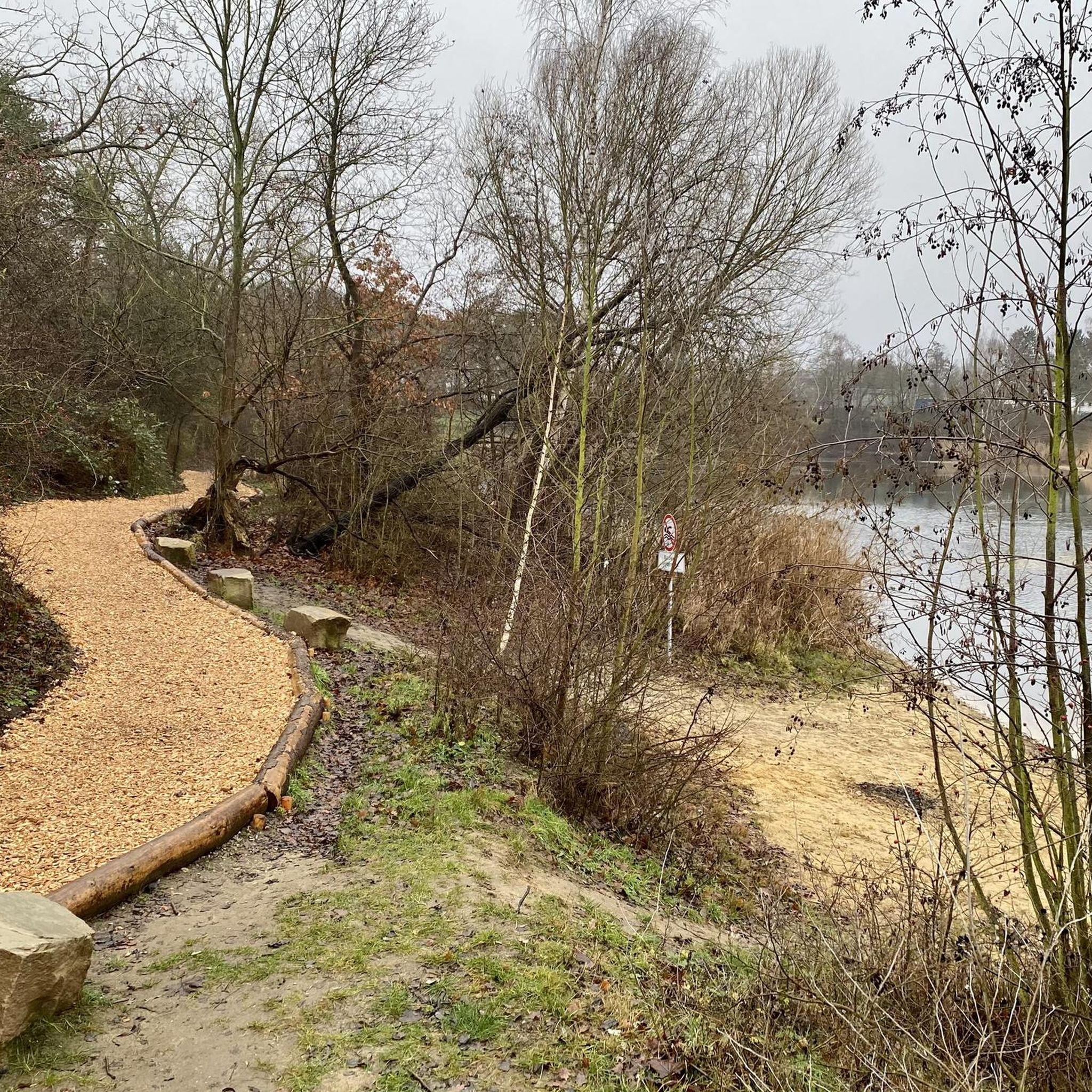
Tips from the Community

newly created since 2026 and elevated view of the gravel pit
0
0
The trail used to be much better to ride with an MTB than now.
0
0
in summer a great lake with some places to lie down; swimming is actually forbidden
0
0
South trail along the Kieskuhle with a staircase insert, but doable without steps
0
0
Wooden bridge over the Beberbach
0
0
Sculpture at the forest of rest near Bienrode
1
0
The south and west sides are accessible via a trail; but watch out for anglers.
1
0
The renaturation has unfortunately failed in some parts, as the excavated pond next to the Beberbach has already silted up again.
1
0
Frequently Asked Questions
How many hiking trails are available around Bienroder Lake?
There are over 1,300 hiking trails around Bienroder Lake. The vast majority, more than 1,000, are classified as easy, making the area very accessible for various fitness levels. There are also nearly 300 moderate trails and a small number of more challenging routes for experienced hikers.
What is the general difficulty level of hiking trails around Bienroder Lake?
The hiking trails around Bienroder Lake are predominantly easy, characterized by generally flat terrain with minimal elevation changes. This makes them suitable for casual strolls, families, and beginners. There are also moderate options for those seeking slightly longer excursions, often extending towards the Schunter River.
Are there any circular hiking routes around Bienroder Lake?
Yes, many routes around Bienroder Lake are circular, allowing you to start and end at the same point. A popular easy loop is the View of Bienroder See – Bienroder See loop from Forschungsflughafen Braunschweig-Wolfsburg, which offers continuous lake views over 3.1 km.
What natural features can I expect to see along the hiking trails?
Hikers can enjoy expansive views of Bienroder Lake, with paths directly along its banks, including a pleasant wood chip path. Many routes also connect to the revitalized Schunter River, where you can experience clear water, a flat riverbed, and increased biodiversity. The area is known for bird observation, including nesting swans on the lake.
Are the hiking trails around Bienroder Lake suitable for families with children?
Yes, the area is very family-friendly. The generally flat and accessible paths, especially those directly around Bienroder Lake, are ideal for walks with children. The natural swimming lake and opportunities for wildlife observation provide engaging experiences for younger hikers.
Are dogs allowed on the hiking trails around Bienroder Lake?
Yes, dogs are generally welcome on the hiking trails around Bienroder Lake. The diverse network of paths, including lakeside and riverbank routes, offers plenty of space for walks with your canine companion. Please ensure dogs are kept on a leash and any waste is properly disposed of.
What are some interesting landmarks or points of interest near the trails?
Beyond the lake itself, you can explore the Wood Chip Path by Bienroder See for a unique walking surface. The revitalized Schunter River features a modern pedestrian bridge offering unique vantage points. You might also encounter the Solus Christus Sculpture on Hohes Feld Noah or the Open-Air Church Braunschweig, which are highlights in the wider area.
Is there parking available for hikers at Bienroder Lake?
While specific parking areas are not detailed in the guide, the starting point for many routes is listed as Forschungsflughafen Braunschweig-Wolfsburg, suggesting parking facilities are available in that vicinity. It is advisable to check local signage upon arrival for designated parking spots.
Can I reach Bienroder Lake hiking trails by public transport?
Yes, Bienroder Lake is accessible by public transport. While specific bus or train lines are not provided, its location in the northern part of Braunschweig suggests good connectivity within the city's public transport network. You can plan your journey to reach the starting points of the trails.
What do other hikers enjoy the most about hiking in Bienroder Lake?
The area is highly rated by the komoot community, with an average score of 4.6 stars from over 2,600 reviews. Hikers often praise the tranquil lake environment, the accessible paths suitable for all levels, and the connection to the ecologically restored Schunter River, which offers a refreshing natural experience.
Are there any longer hiking routes that extend beyond the immediate lake area?
Yes, several routes extend beyond the immediate lake. For example, the Bienrode Village – Weir Gate on the Schunter loop from Forschungsflughafen Braunschweig-Wolfsburg is an easy 7 km path that connects the lake area with the revitalized Schunter River and Bienrode Village, offering a more extensive exploration of the surrounding landscape.
Are there any trails that offer views of the Schunter River?
Absolutely. Trails like the View of the Schunteraue – Weir Gate on the Schunter loop from Forschungsflughafen Braunschweig-Wolfsburg specifically highlight the connection to the Schunter River. These routes allow you to experience the revitalized riverbanks and the natural beauty of the Schunteraue.
Most popular routes around Bienroder Lake
Most popular attractions around Bienroder Lake

Get inspired with the komoot mobile app


Explore more
Browse the best Hikes in other regions.
