The best running trails around Alhambra Valley
4.3
(37)
598
runners
69
runs
Jogging around Alhambra Valley offers a diverse range of routes through varied terrain. The region features rolling hills, reservoir views, and established park trails, providing opportunities for different running experiences. These routes often include elevation changes, making them suitable for those seeking a moderate to challenging workout. The landscape is characterized by natural open spaces and designated park areas, ideal for outdoor activity.
Best jogging routes around Alhambra Valley
- The most popular jogging route is Briones Reservoir loop via Bear…
Last updated: July 9, 2026
40
runners
21.1km
02:22
500m
500m
The Briones Reservoir loop via Bear Creek Trail offers a diverse and demanding jogging experience, winding through a mix of shaded woodlands and open, grassy hillsides. You'll enjoy beautiful water…
6
runners
5.87km
00:47
180m
180m
Jog the 3.6-mile Mount Helen & Mount Wanda loop, a moderate trail at John Muir National Historic Site, offering panoramic views and historic

Sign up for free
10.7km
01:22
300m
300m
Jog the moderate 6.6-mile Ivan Dickson Trail Loop in Briones Regional Park, gaining 978 feet with panoramic views from Ivan Dickson Point.
2
runners
4.71km
00:32
130m
130m
Jog the moderate 2.9-mile Whipsnake, Woodrat, and Windmill Loop in Fernandez Ranch, featuring scenic views and an historic windmill.
1
runners
6.92km
00:58
280m
290m
Jog the Franklin Ridge Loop, a moderate 4.3-mile trail in Carquinez Strait Regional Shoreline, offering panoramic views and significant elev
Get access to more routes and recommendations from other explorers.
Sign up for free
Already have an account?
Our route recommendations are based on thousands of hikes, rides, and runs completed by other people on komoot.
Start today with a free account
Your next adventure awaits.
Login or Signup

Tips from the Community

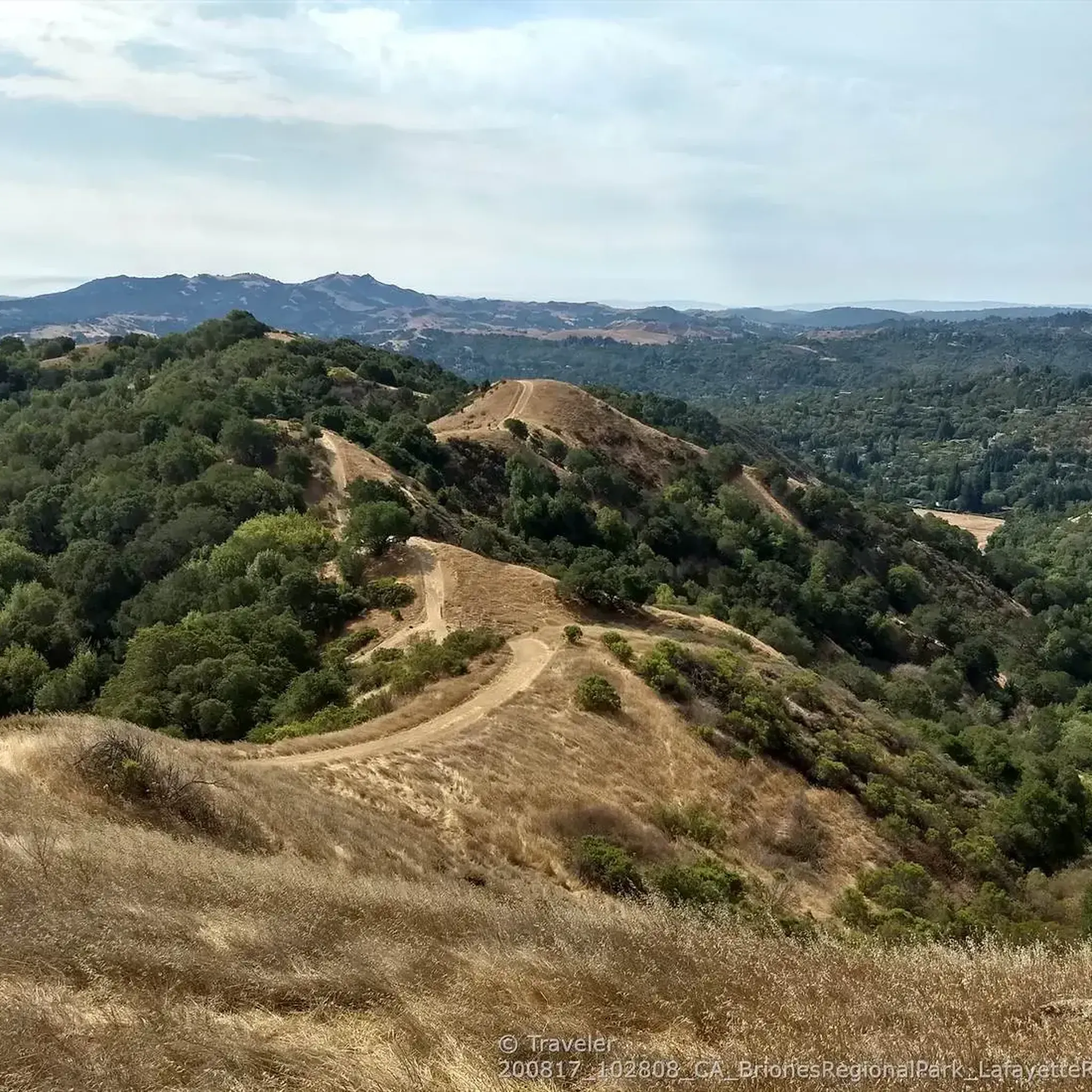
Steepest dirt climb of the route.
0
0

Fernandez Ranch is a 702-acre open space preserve located in the San Francisco Bay Area. It offers trails showcasing diverse habitats like grasslands and oak woodlands. The park is known for its scenic beauty and conservation efforts.
0
0

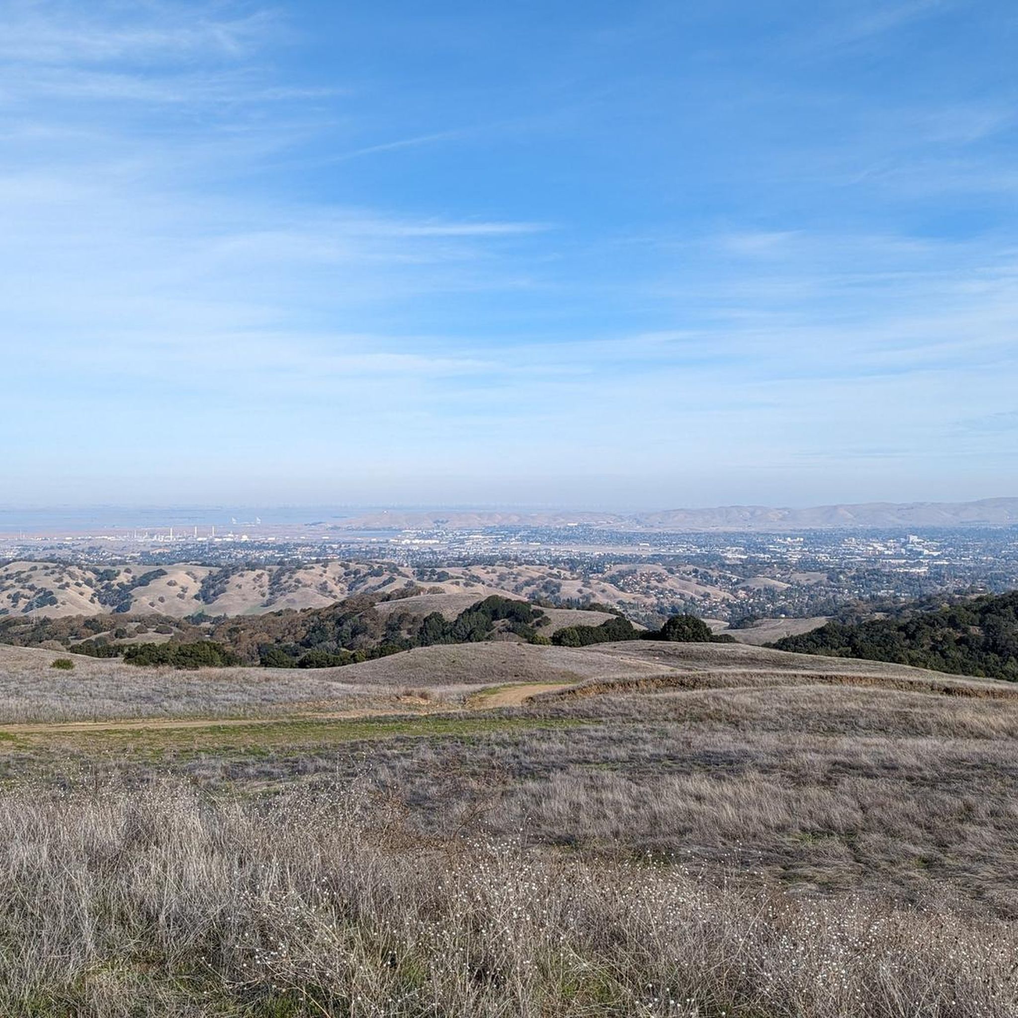
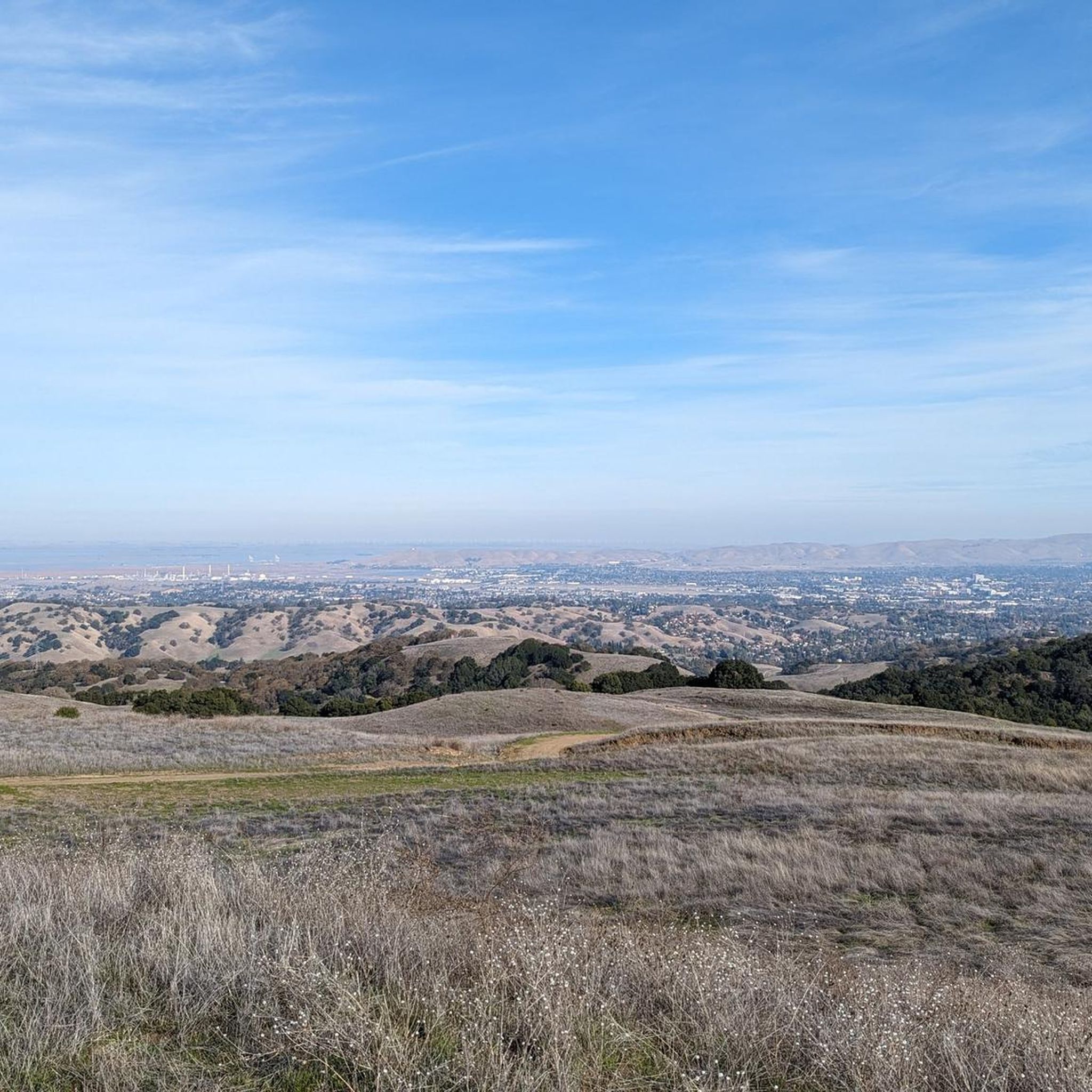
This stunning vista of the horizon is truly breathtaking, with the majestic peaks of Mt. Tamalpais to the west and Mt. Diablo to the east piercing the skyline. Towards the south, from this elevated vantage point, you can admire the rugged ridges of Briones and Las Trampas regional parks.
0
0
Carquinez Regional Shoreline, stretching across 1,568 acres along Carquinez Scenic Drive, offers a diverse landscape of bluffs and shoreline. Nestled between Crockett and Martinez, this park is a gateway to the river delta region in Contra Costa County. With rolling grasslands, wooded ravines, eucalyptus-shaded meadows, and stunning river views, it provides a scenic escape. Trails traverse open vistas, offering glimpses of Benicia State Recreation Area to the north and distant peaks like Mt. Tamalpais and Mt. Diablo.
0
0
Fernandez Ranch is a 702-acre open space preserve located in the San Francisco Bay Area. It offers trails, showcasing diverse habitats like grasslands and oak woodlands. The park is known for its scenic beauty and conservation efforts.
0
0
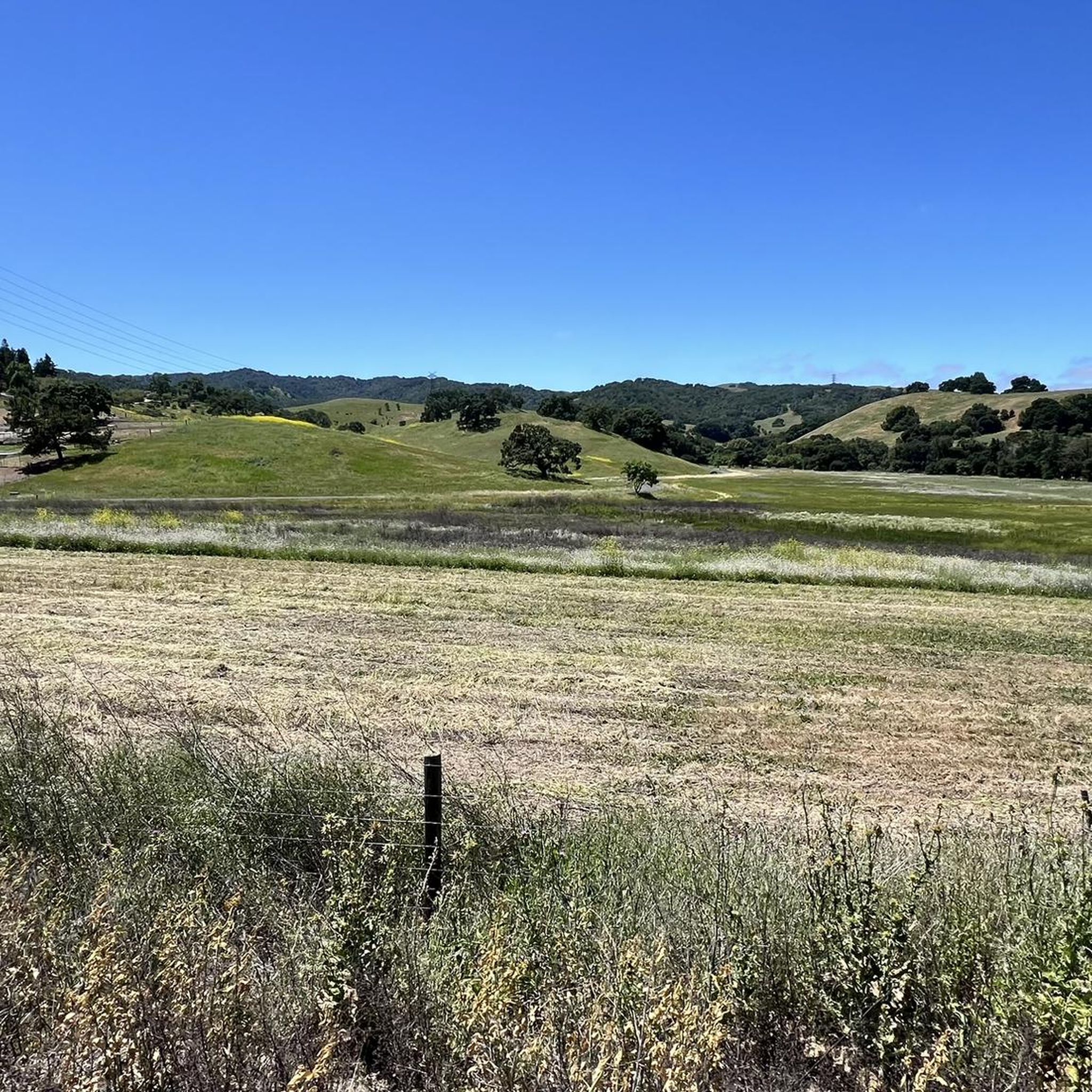
Lovely viewpoint here looking out over Fernandez Ranch, perfect for a breather and a peaceful moment in nature.
0
0
Fernandez Ranch is a 702-acre open space preserve located in the San Francisco Bay Area. It offers hiking trails, showcasing diverse habitats like grasslands and oak woodlands. The park is known for its scenic beauty and conservation efforts.
0
0
Adjacent to the Mount Helen trail, Mount Wanda and Mount Helen are both named after John Muir's daughters in the area that they hiked together. Absolutely beautiful views at Mount Wanda for sunrise or sunset!
0
0
Frequently Asked Questions
How many running routes are available in Alhambra Valley?
Alhambra Valley offers a good selection of running routes, with over 45 trails available for exploration. These routes cater to various fitness levels, ranging from moderate to difficult.
Are there any easy running trails for beginners in Alhambra Valley?
While Alhambra Valley's terrain is characterized by rolling hills and elevation changes, making many routes moderate to difficult, there are options that can be approached by beginners. For instance, the Whipsnake, Woodrat, and Windmill Loop is a shorter, moderate trail that could be a good starting point for those new to the area's inclines.
What are some longer distance running options in Alhambra Valley?
For runners seeking a longer challenge, the Briones Reservoir loop via Bear Creek Trail is an excellent choice. This difficult route spans over 13 miles (21 km) and features significant elevation gain, offering a substantial workout with scenic reservoir views.
Can I find circular running routes in Alhambra Valley?
Yes, many of the running trails in Alhambra Valley are designed as loops, providing a varied experience without retracing your steps. Examples include the popular Ivan Dickson Trail Loop and the Mount Helen & Mount Wanda loop, both offering engaging circular paths.
Are the running trails in Alhambra Valley dog-friendly?
Many trails in the Alhambra Valley, particularly within regional parks, are dog-friendly, often requiring dogs to be on a leash. It's always best to check specific park regulations or route details before heading out with your canine companion to ensure a pleasant experience for everyone.
What kind of scenery can I expect on the jogging routes?
Jogging routes in Alhambra Valley offer diverse scenery, from rolling hills and open grasslands to reservoir views and established park trails. You'll encounter natural open spaces and designated park areas, providing a refreshing outdoor experience. Many routes feature elevated points that offer panoramic vistas of the surrounding landscape.
Are there any notable landmarks or natural attractions near the running trails?
Yes, the area around Alhambra Valley boasts several natural attractions. You might encounter highlights such as the John Muir Memorial Park, Maricich Lagoon, or the Sobrante Ridge Regional Preserve. For scenic views, consider routes near Russell Peak or the Viewpoint over Fernandez Ranch.
What do other runners say about the trails in Alhambra Valley?
The running routes in Alhambra Valley are highly regarded by the komoot community, holding an average rating of 3.9 stars from over 10 reviews. Runners often praise the varied terrain, the challenge of the rolling hills, and the scenic beauty, particularly around the reservoir areas.
Is parking available near the jogging trails?
Yes, many of the regional parks and trailheads in Alhambra Valley offer designated parking areas. For popular routes like the Briones Reservoir loop, parking facilities are typically available at key access points, though they can fill up during peak times.
How can I reach the running trails using public transport?
Public transport options to trailheads in Alhambra Valley can vary. While some regional parks might have limited bus access, many areas are more easily reached by car. It's advisable to check local transit schedules and routes for specific trail access points, as direct connections might not be available for all trails.
Are there any specific considerations for winter jogging in Alhambra Valley?
Winter jogging in Alhambra Valley can be pleasant, but it's important to be prepared for potentially muddy conditions after rain, especially on unpaved trails. Days are shorter, so consider starting earlier or carrying a headlamp. The rolling hills can also become slick, so appropriate footwear with good grip is recommended.
Where can I find cafes or refreshments near the running routes?
While many trails in Alhambra Valley are in natural, open spaces, you'll find cafes and refreshment options in nearby towns and communities such as Martinez or Lafayette. It's a good idea to plan your route to pass through or near these areas if you're looking for a post-run coffee or snack.
Can I find detailed maps with elevation profiles for these routes?
Yes, komoot provides detailed maps for all routes, including elevation profiles. When you view a specific route, such as the Franklin Ridge Loop, you'll find comprehensive information on distance, duration, and elevation gain and loss, helping you prepare for your run.
Most popular attractions around Alhambra Valley

Get inspired with the komoot mobile app


Explore more
Browse the best Running Trails & Routes in other regions.
