The best road cycling routes around Blackhawk
4.8
(25)
2,464
riders
64
rides
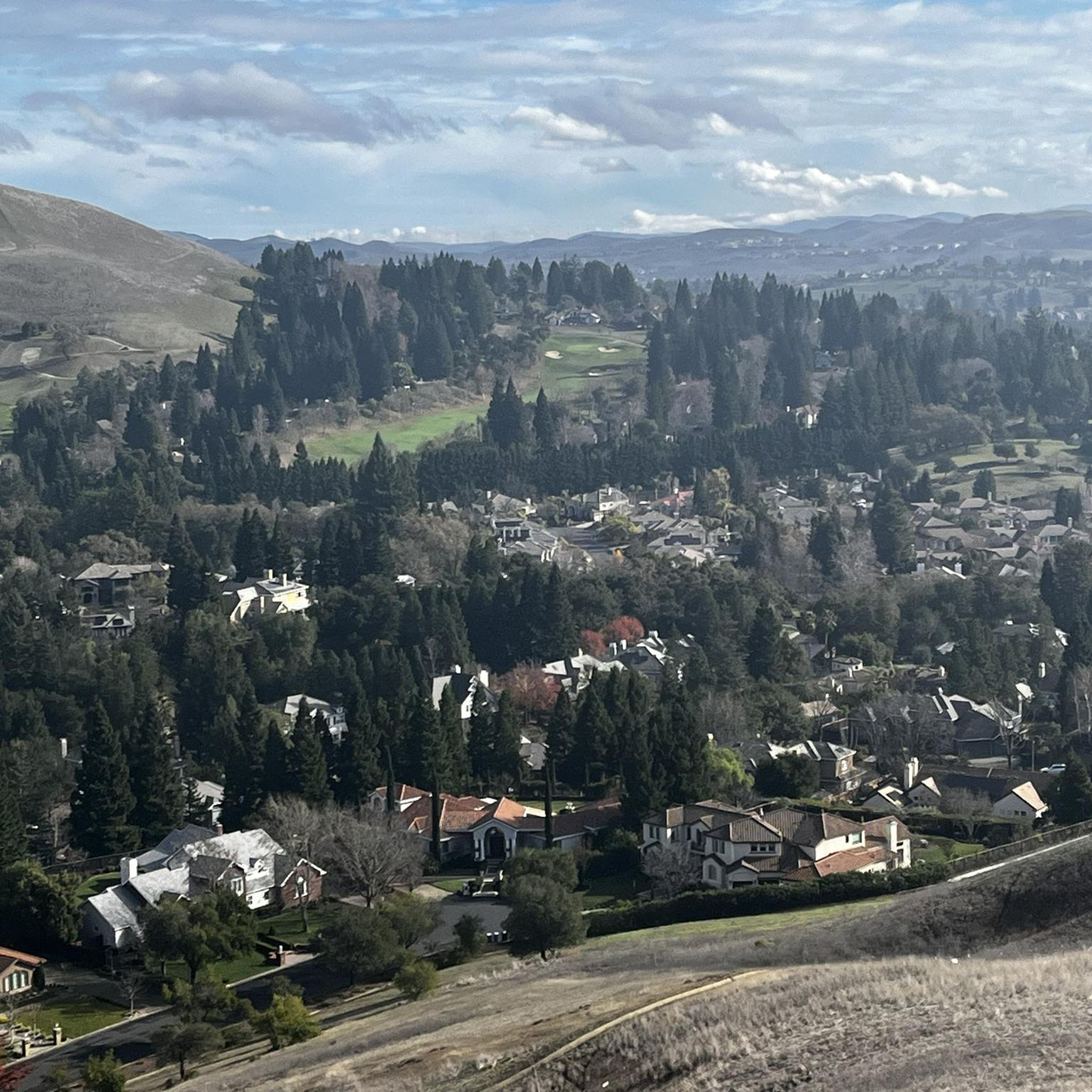
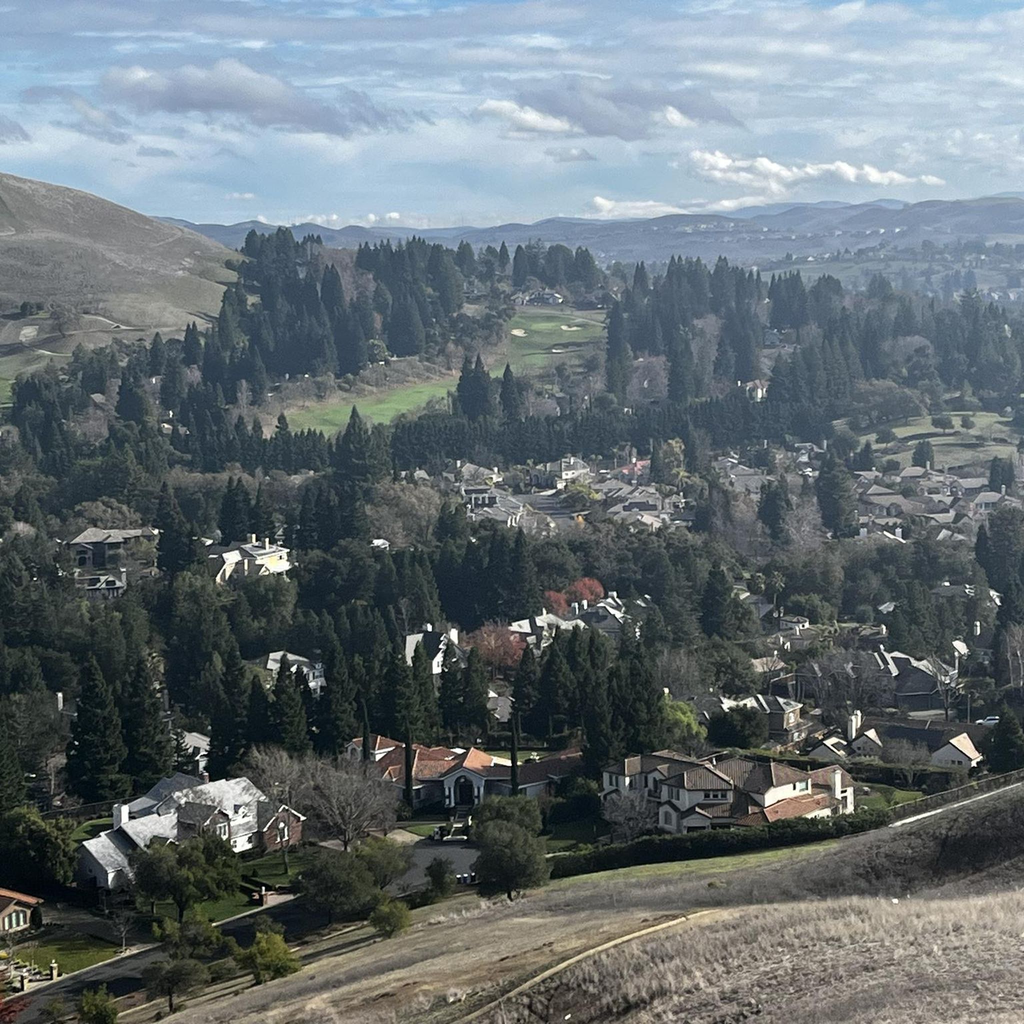
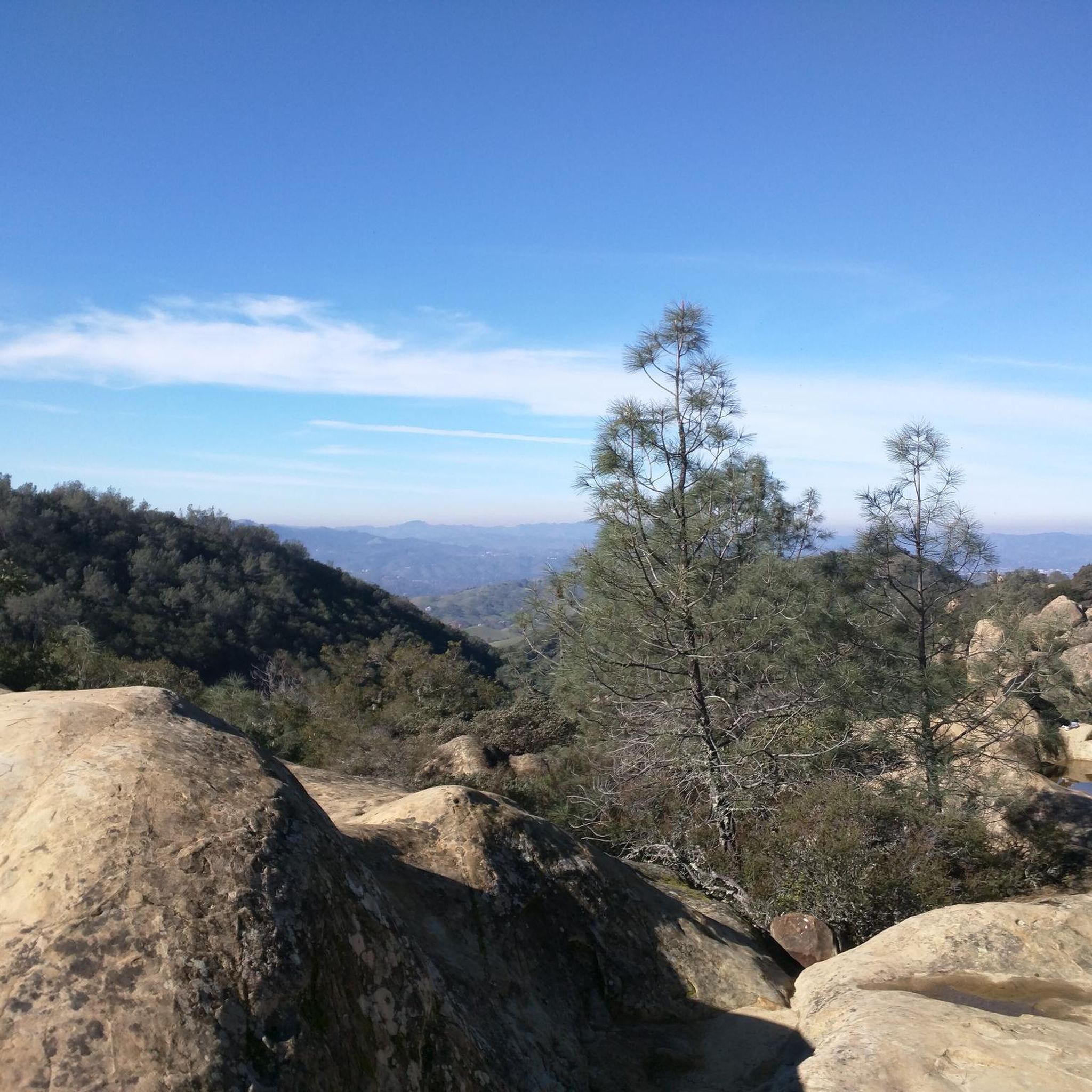
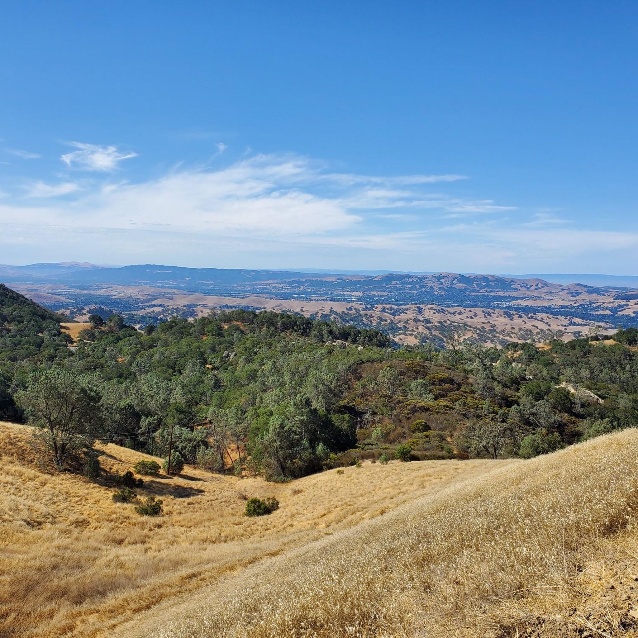
Road cycling routes around Blackhawk feature a mountainous environment with significant elevation gains, offering challenging ascents and descents. The region is characterized by scenic byways, rolling hills, and open space regional preserves. Cyclists can experience diverse terrain, from paved roads along historic routes like the Peak to Peak Scenic Byway to paths connecting urban areas with natural landscapes. This area provides a compelling blend of challenging terrain and scenic views for road cyclists.
Best road cycling routes around Blackhawk
- The…
Last updated: July 9, 2026
4.7
(3)
458
riders
49.5km
02:58
1,160m
1,160m
Hard road ride. Very good fitness required. Mostly well-paved surfaces and easy to ride.
285
riders
63.8km
03:31
1,220m
1,220m
Hard road ride. Very good fitness required. Mostly well-paved surfaces and easy to ride.

Sign up for free
5.0
(1)
63
riders
Easy road ride. Great for any fitness level. Mostly well-paved surfaces and easy to ride.
16
riders
35.2km
01:39
400m
400m
Moderate road ride. Good fitness required. Some segments of this route may be unpaved and difficult to ride.
11
riders
26.5km
01:13
250m
250m
Moderate road ride. Great for any fitness level. Some segments of this route may be unpaved and difficult to ride.
Get access to more routes and recommendations from other explorers.
Sign up for free
Already have an account?
Our route recommendations are based on thousands of hikes, rides, and runs completed by other people on komoot.
Start today with a free account
Your next adventure awaits.
Login or Signup
Tips from the Community

Mount Diablo, is the Bay Area second-highest peak at 1173m (3849ft). The challenging climb features constantly fluctuating gradients averaging 8%, with tough sections up to 18% and a brutal 23% finish in the last 200m. The equally demanding descent requires good bike handling due to tight corners, potholes, and strong winds. The road to the top is open daily from 8 AM till sunset.
0
0

The Del Amigo Swim Club, officially known as the Del Amigo Pool Association, is a member-owned, nonprofit community pool that features two pools. The pool closes every year from mid‑September to March for major renovation.
0
0
The Museum of the San Ramon Valley was established in 1985 and sits in a restored 1891 Southern Pacific Railroad Depot with the Victorian-era “Combination Station No. 22” listed on the National Register of Historic Places. The Official Visitor Information Center offers maps, guides, and knowledgeable staff, along with free parking and restrooms located in the caboose.
1
0


This multi-use trail skirts around the southern portion of San Ramon and is popular for walkers, runners, and cyclists, with views including Camp Parks, the valley's rolling hills and various wildlife, including jackrabbits. The trail is a mix of paved and singletrack trails, with some moderate ups and downs in elevation. You can access the trail from several points within the Stonehenge Way and Holborn Way neighborhoods.
0
0

One of the fiercest peaks in the Bay. Always worth the effort. It’s often much cooler on the summit than the rest of the trails — there is a water spigot up there to fill up bottles. Also a store is open at some times. Don’t bank on it.
0
0

Danville is situated in the heart of the San Ramon Valley and has been voted "the safest town in California" for five consecutive years. It offers trendy restaurants, boutiques, and a thriving art scene.
0
0
This museum collects, stores, and preserves artifacts from the San Ramon Valley while providing a permanent exhibit of the valley's past. Additionally, the museum offers local maps, guides, and a public restroom.
0
0
Frequently Asked Questions
How many road cycling routes are available around Blackhawk?
Blackhawk offers a wide selection of road cycling routes, with over 60 different tours available. These routes cater to various skill levels, including easy, moderate, and challenging options.
Are there easy road cycling routes suitable for beginners in Blackhawk?
Yes, Blackhawk has numerous easy road cycling routes perfect for beginners. For instance, the Danville – Museum of the San Ramon Valley loop from Sycamore Valley Open Space Regional Preserve is an easy 25.7 km (16 miles) ride with minimal elevation gain, offering a pleasant introduction to the area's cycling. Another accessible option is the Roadbike loop from Crow Canyon Road & Dougherty Road, which is just under 20 km (12.4 miles) and also rated easy.
What are some challenging road cycling climbs near Blackhawk?
Blackhawk is known for its challenging climbs. The Curry Point – Mount Diablo Summit loop from Alamo is a difficult 59.8 km (37.2 miles) route featuring a substantial ascent towards Mount Diablo Summit, with over 1200 meters (3900 feet) of elevation gain. This route provides a significant test for experienced cyclists.
Are there any family-friendly road biking options in Blackhawk?
While many routes in Blackhawk feature significant climbs, some of the easier, flatter sections or dedicated bike paths within regional preserves can be suitable for families. Always check the route's difficulty and elevation profile to ensure it matches your family's cycling ability.
What kind of terrain can I expect on road cycling routes around Blackhawk?
Road cycling around Blackhawk offers a diverse landscape. You can expect a mix of rolling hills, scenic boulevards, and significant climbs towards prominent summits like Mount Diablo Summit. The region includes open space regional preserves, providing varied terrain from urban connections to natural landscapes.
What do other road cyclists enjoy most about road cycling in Blackhawk?
The road cycling routes in Blackhawk are highly rated by the komoot community, with an average score of 5.0 stars from nearly 20 reviews. Cyclists often praise the challenging climbs, scenic boulevards, and the variety of terrain that caters to different ability levels.
Are there any scenic viewpoints along the road cycling routes in Blackhawk?
Yes, the region offers several scenic viewpoints. Routes that ascend towards Mount Diablo Summit, such as the Mount Diablo Scenic Boulevard – Curry Point loop, provide breathtaking panoramic views. You might also encounter stunning vistas from points like Devil's Pulpit or Eagle Peak, which are accessible from various trails in the area.
Are there any circular road bike routes in Blackhawk?
Many of Blackhawk's road cycling routes are designed as loops, allowing you to start and finish at the same point. Examples include the Downtown Livermore – Rolling Hills Trail loop from Crow Canyon Road & Dougherty Road and the Curry Point – Mount Diablo Summit loop from Alamo, both offering comprehensive circular experiences.
What is the best time of year for road biking in Blackhawk?
The Blackhawk area generally offers good road cycling conditions for much of the year. Spring and fall provide pleasant temperatures, ideal for longer rides and tackling climbs. Summers can be warm, especially in the valleys, so early morning rides are recommended. Winters are typically mild, but checking local weather for rain or colder conditions at higher elevations is always advisable.
What kind of attractions can I explore near the road cycling routes?
Beyond the cycling itself, the Blackhawk area is rich with natural attractions. You can explore various mountain peaks such as Mount Diablo Summit, Eagle Peak, and Twin Peaks. There are also natural monuments and visitor centers like the Mitchell Canyon Visitor Center, offering opportunities to learn more about the local environment.
Are there options for advanced road cyclists seeking challenging routes?
Absolutely. Blackhawk is well-suited for advanced road cyclists looking for a challenge. The region's topography includes significant elevation gains, particularly on routes leading to Mount Diablo Summit. These routes often feature steep gradients and long ascents, providing a rigorous workout for experienced riders.
Most popular attractions around Blackhawk

Get inspired with the komoot mobile app


Explore more
Browse the best Road cycling routes in other regions.
