The best walks and hikes around Diablo
4.7
(154)
1,811
hikers
181
hikes
If you've ever tried to plan hiking around Diablo, you know how quickly the options can feel overwhelming. With so many trails, it's hard to tell which routes are genuinely worth your time and effort, and which are just filler. That's where we come in. Our komoot community has mapped, ridden, walked, and reviewed these routes, so we've curated a shortlist of the ones that are truly worth your legs, saving you all the guesswork.
Hiking around Diablo is all…
Last updated: May 10, 2026
5.0
(10)
92
hikers
10.8km
03:43
610m
570m
The Mount Diablo via Summit Trail offers a challenging yet incredibly rewarding hiking experience, leading you through diverse terrain from lush meadowlands to unique sandstone formations at Rock City. As…
7
hikers
6.51km
01:54
180m
180m
The Stage and Wall Point Road Loop offers a delightful journey through diverse terrain, showcasing the natural beauty of Mount Diablo State Park. You'll wind through open grasslands dotted with…

Sign up for free
6
hikers
26.0km
07:41
730m
770m
The Wall Point and Stage Road Loop is a demanding yet incredibly scenic hike that immerses you in the diverse landscapes of Diablo Foothills Regional Park. You'll journey through rolling…
6
hikers
6.24km
01:59
260m
250m
Embark on an easy 3.9-mile (6.2 km) hike along the Summit Trail to Rock City and Sentinel Rock, where you'll discover a landscape rich in geological wonders. This route, with…
4
hikers
7.41km
02:12
220m
200m
This 4.6-mile (7.4 km) moderate hiking loop through the Mount Diablo Foothills is a fantastic way to experience varied terrain and unique natural features in just over two hours. You'll…
Get access to more routes and recommendations from other explorers.
Sign up for free
Already have an account?
Our route recommendations are based on thousands of hikes, rides, and runs completed by other people on komoot.
Start today with a free account
Your next adventure awaits.
Login or Signup
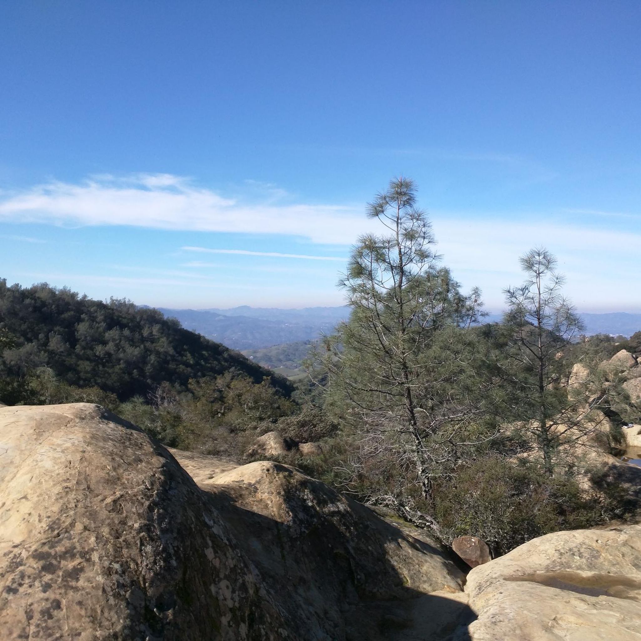
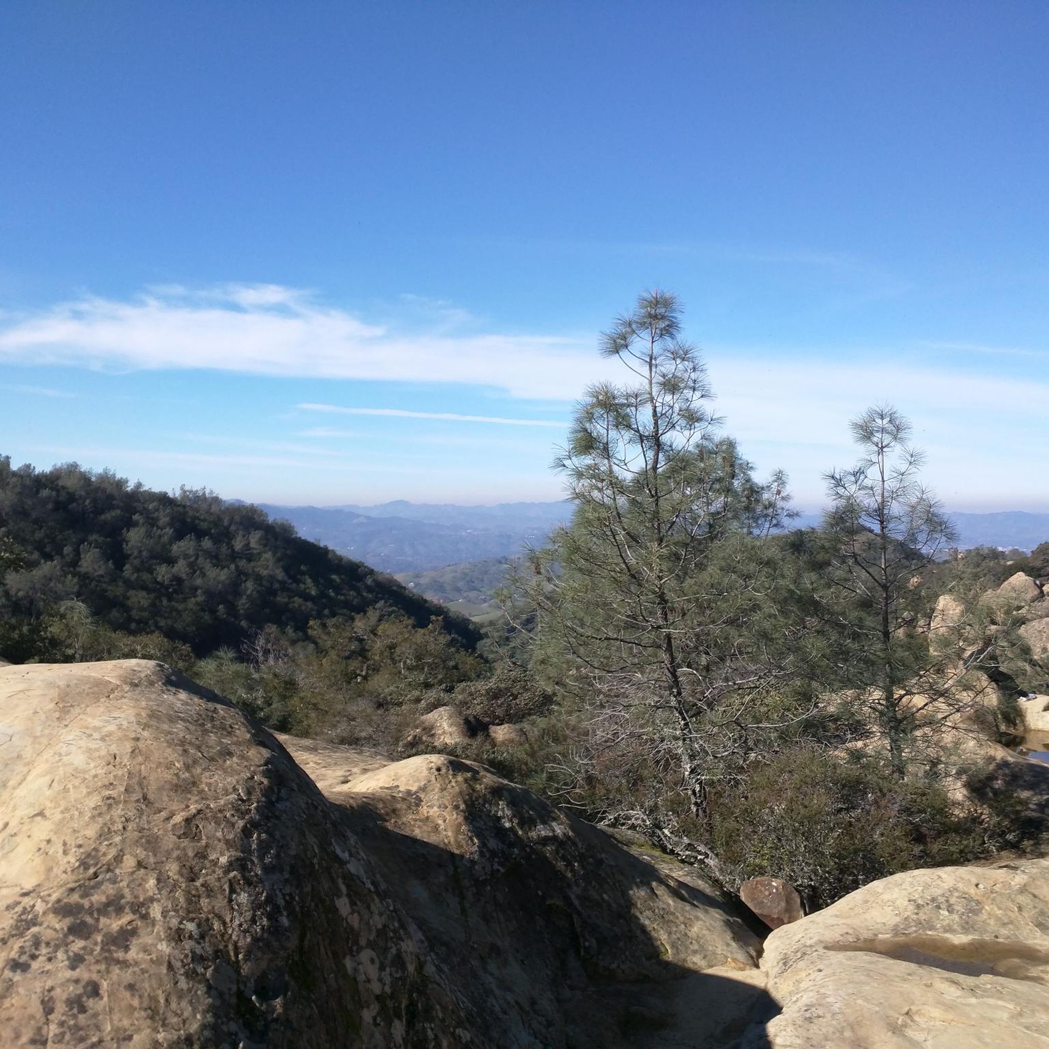
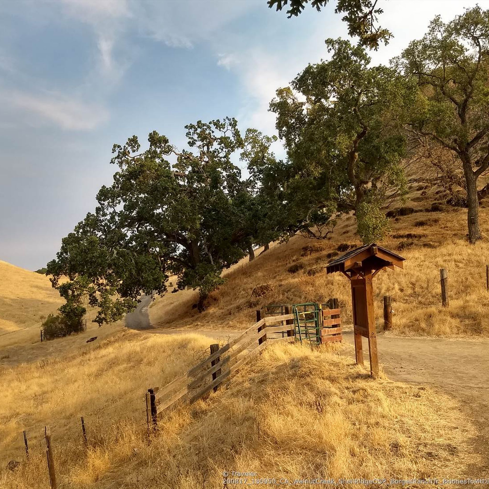
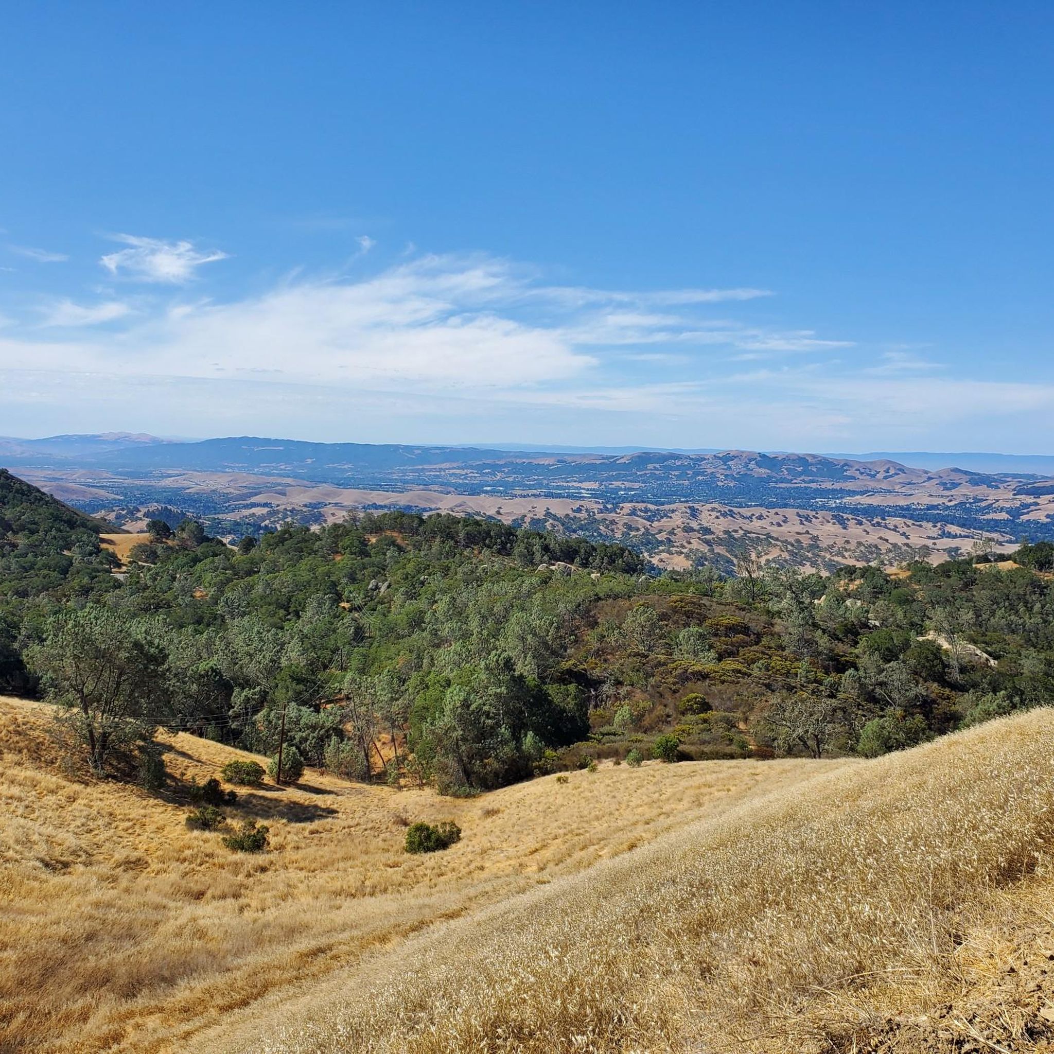
Tips from the Community

simply wonderful to enjoy
0
0
Beautiful area with many birds of prey circulating above
0
0
Nice place, a bit of shade and fresh water
0
0

Mount Diablo, is the Bay Area second-highest peak at 1173m (3849ft). The challenging climb features constantly fluctuating gradients averaging 8%, with tough sections up to 18% and a brutal 23% finish in the last 200m. The equally demanding descent requires good bike handling due to tight corners, potholes, and strong winds. The road to the top is open daily from 8 AM till sunset.
0
0


One of the few working water spigots on Diablo. Always tastes cold and fresh.
0
0

Diablo Foothills Regional Park is a 1,060 acres area in California. You can enjoy its panoramic views as you joyfully cycle through the multiple trails that allow access to the natural environment. The park offers multiple activities and diverse information of the inhabitant species of it on its website: https://www.ebparks.org/parks/diablo-foothills
0
0

Sentinel Rock is a prominent geological feature in the Rock City of Mount Diablo State Park. This large rock stands as a sentinel in the area and offers panoramic views of the surrounding landscapes.
0
0
Frequently Asked Questions
How many hiking trails are available in the Diablo region?
The Diablo region offers a wide variety of hiking experiences, with over 100 routes available. These range from easy strolls to challenging ascents, catering to different skill levels and preferences.
What makes hiking in the Mount Diablo area unique?
Hiking around Mount Diablo is unique due to its spectacular panoramic views, which can extend nearly 200 miles on clear days. The region also features diverse ecosystems, from oak woodlands to pine forests, and fascinating geological formations like the 'wind caves' and the sandstone formations at Rock City. During the rainy season, you can even find numerous waterfalls.
Are there any challenging hikes for experienced hikers in Diablo?
Yes, the Diablo region offers several challenging hikes. For instance, the Mount Diablo Summit Loop — Mount Diablo State Park is a difficult 13.2-mile route that ascends to the summit, offering expansive views. Another demanding option is the Mount Diablo Summit via Stage Road & Summit Trail loop, which covers over 14 miles with significant elevation gain.
What kind of terrain can I expect on hikes around Mount Diablo?
The terrain around Mount Diablo is incredibly diverse. You'll encounter blue oak woodlands, valley oak savannahs, and broadleaf forests. Higher elevations feature pine forests. Unique geological features include ancient ocean floor plates visible near the summit and the distinctive sandstone formations at Rock City, which invite exploration.
Are there family-friendly hiking options in the area?
Yes, there are family-friendly options. Areas like Rock City offer curious sandstone formations and small caves that are fun for exploration and picnics. The 0.7-mile Mary Bowerman Trail near the summit is also a rewarding, shorter walk. For a slightly longer but still manageable option, the Wall Point, Summit & Staircase Trails loop is an easy 3.2-mile trail.
Can I bring my dog on the hiking trails in Mount Diablo State Park?
Mount Diablo State Park has specific rules regarding dogs. Generally, dogs are permitted on paved roads and in developed areas like picnic sites and campgrounds, but they are not allowed on unpaved trails. Always check the latest park regulations before your visit to ensure compliance.
When is the best time of year to hike Mount Diablo?
The best time to hike Mount Diablo is typically during the spring (March to May) when the weather is mild and the park is renowned for its spectacular wildflower displays, including 'super blooms' in some years. The rainy season (winter) brings lush green landscapes and numerous waterfalls. Fall also offers pleasant hiking conditions with cooler temperatures. Summers can be very hot, especially at lower elevations.
Are there any circular hiking routes in the Diablo region?
Yes, the Diablo region features several excellent circular routes. The Wall Point Road & Barbecue Terrace Road loop is a moderate 5.6-mile path that provides varied scenery within Mount Diablo State Park. Another option is the Stage Road & Buckeye Trail loop, a moderate 5.5-mile route.
What natural features or landmarks can I see along the trails?
Along the trails, you can explore various natural features and landmarks. The Mount Diablo Summit offers unparalleled views. You can also visit the Mitchell Canyon Visitor Center, a starting point for many trails. Other notable points include Eagle Peak and Devil's Pulpit, which offers a unique viewpoint.
Is public transport available to access hiking trails in Mount Diablo State Park?
Public transport options to Mount Diablo State Park are limited. While there isn't direct public transit to many trailheads within the park, some regional bus services may get you to nearby towns. It's advisable to check local transit authority websites for the most current routes and schedules, as personal vehicles are generally the most common way to access the park's extensive trail system.
What do other hikers enjoy most about hiking in Diablo?
The area is highly rated by the komoot community, with an average score of 4.8 stars. Reviewers often praise the stunning panoramic views from the summit, the diverse and beautiful landscapes, and the variety of trails available for all skill levels. The unique geological formations and the vibrant wildflower displays in spring are also frequently highlighted as major attractions.
Most popular routes around Diablo
Most popular attractions around Diablo

Get inspired with the komoot mobile app


Explore more
Browse the best Hikes in other regions.
