The best road cycling routes around East Bakersfield
5.0
(5)
185
riders
19
rides
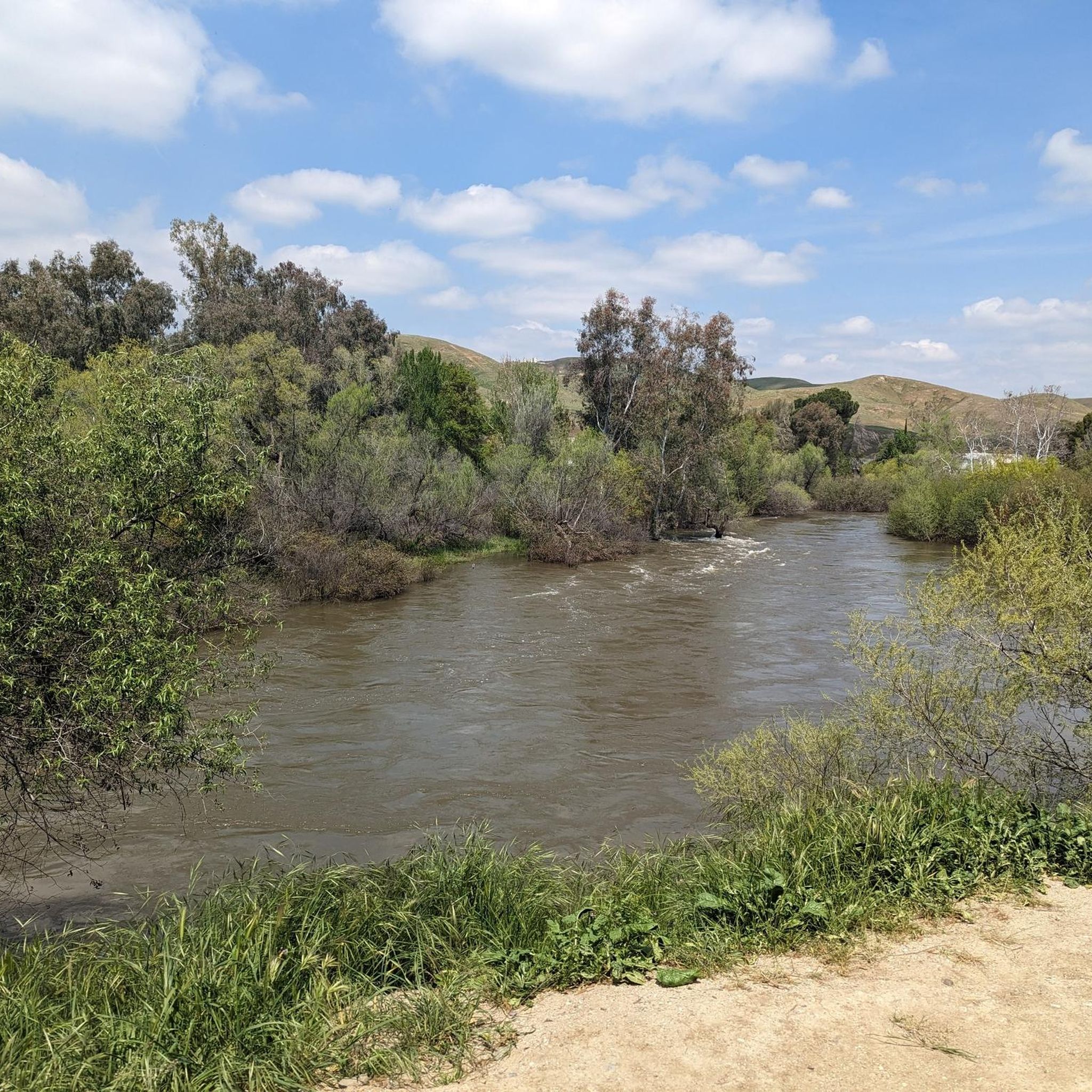
Road cycling routes around East Bakersfield traverse a diverse landscape characterized by the Kern River, rolling hills, and expansive valley views. The region offers varied terrain, from paved paths along the river to more challenging ascents into the Sierra Nevada foothills. These routes provide access to natural features such as the Panorama Bluffs and Hart Memorial Park.
Best road cycling routes around East Bakersfield
- The most popular road cycling route is Round Mountain loop, a 34.1 miles (54.8 km)…
Last updated: October 27, 2026
5.0
(1)
20
riders
54.8km
02:27
530m
530m
Cycle the moderate 34.1-mile Round Mountain loop in Bakersfield, gaining 1747 feet of elevation through rolling hills and oilfields.
19
riders
41.7km
02:03
340m
340m
Moderate road ride. Good fitness required. Mostly well-paved surfaces and easy to ride.

5.0
(2)
16
riders
63.5km
02:53
720m
720m
Moderate road ride. Good fitness required. Mostly well-paved surfaces and easy to ride.
6
riders
96.0km
03:43
110m
110m
Moderate road ride. Good fitness required. Mostly well-paved surfaces and easy to ride.
7
riders
33.4km
01:29
200m
200m
Moderate road ride. Some segments of this route may be unpaved and difficult to ride.
Get access to more routes and recommendations from other explorers.
Already have an account?
Our route recommendations are based on thousands of hikes, rides, and runs completed by other people on komoot.
Start today with a free account
Your next adventure awaits.
Popular around East Bakersfield


Tips from the Community

This well maintained park is set on the cliffs above the Kern River. There are plenty of trails, benches, and open spaces. You can also find water fountains if you need to refill your bottles.
0
0
The Kern River Parkway runs for miles through Bakersfield, crossing a number of varied habitats. The trail passes along nature preserves, city parks, and developed areas, each offering their own unique elements to the trail.
0
0

The Metropolitan Recreation Center is a 98.6-acre park with walking and hiking trails, picnic areas with grills and food preparation facilities, a raised bandstand with electrical outlets, and a lighted playground.
0
0

This urban park is well-maintained, with several walking trails, benches, drinking fountains, and plenty of green space. It's a great place to picnic, hike, or trek down the hill to enjoy the Kern River. There are spectacular views of the city, mountains, and oilfields, especially on a clear day.
0
0
This 32-acre park is home to an amphitheater, two ponds, trails, fountains, picnic areas, BBQs, and more. It's a great spot to bring the family whether you stay for the day or are just passing through.
0
0
The Kern River Parkway runs for miles through Bakersfield, crossing a number of varied habitats. The trail passes along nature preserves, city parks, and developed areas, each offering their own unique elements to the trail.
1
0
Poso Creek runs for nearly 90 miles through Kern County. It's headwaters in the Sierra Nevada mean it only runs intermittently and is heavily dependent on high elevation precipitation in order to flow. When its waters are high it joins the Kern River in the Kern National Wildlife Refuge.
0
0
The Round Mountain Oil Field may be a blight on the landscape for some, but it doesn't totally ruin the views. As the road winds through the area you'll have some wonderful views across the valley with no oil industry equipment in sight.
0
0
Frequently Asked Questions
How many road cycling routes are available in East Bakersfield?
East Bakersfield offers a diverse selection of over 10 road cycling routes, catering to various skill levels. These routes are highly rated by the komoot community, with an average score of 5.0 stars.
Are there easy road cycling routes suitable for beginners or families?
Yes, East Bakersfield has several easy road cycling options. The Panorama Park – Hart Memorial Park loop from Bakersfield is an easy 36.7 km ride that takes about 1 hour 35 minutes, offering scenic views and a pleasant experience. The Kern River Parkway Trail, while not a specific komoot route in the guide, is also known for its paved paths and accessibility, making it ideal for leisurely rides.
Where can I find challenging road cycling routes in East Bakersfield?
For experienced cyclists seeking a challenge, the Bakersfield to Tehachapi loop is a difficult 140.5 km path with significant elevation gain. Additionally, Breckenridge Road East offers a demanding climb with steep ramps and tight turns, transitioning from scrub sage to tall pines at the summit.
Are there road cycling routes that offer scenic views or viewpoints?
Absolutely. Many routes in East Bakersfield provide stunning vistas. The Round Mountain loop offers varied scenery, including rolling hills and expansive views across the valley. The Panorama Bluffs, accessible via routes like the Panorama Park – The Bluffs Loop, are particularly known for their expansive views over the Kern River, ideal for watching sunrises or sunsets.
Which routes are popular for their loop format?
Loop routes are a popular choice for road cyclists in East Bakersfield. The Round Mountain loop is a favorite, covering 54.8 km. Another well-liked option is the Yokuts Park – The Park at River Walk loop from Bakersfield College, which is 65.9 km and follows areas along the Kern River.
What are some notable natural features or attractions along the road cycling routes?
The Kern River is a central natural feature, with many trails running alongside it, offering picturesque views. You can also explore areas like Hart Memorial Park and Lake Ming, which provide shaded picnic spots, gentle ponds, and opportunities for birdwatching. The Panorama Bluffs offer expansive views, and the Kern River Canyon provides scenic drives and views of the Sierra Nevada Mountains.
Are there road cycling routes with convenient parking access?
Yes, several areas offer convenient parking for road cyclists. The Kern River Parkway Trail has easy access points and parking at locations like The Park at River Walk and Yokuts Park. Hart Memorial Park also provides ample parking for those looking to explore its 10.5-mile touring bicycle loop.
What is the typical duration for road cycling routes in East Bakersfield?
Route durations vary significantly based on distance and difficulty. For example, the Panorama Park – Hart Memorial Park loop from Bakersfield is an easy ride taking about 1 hour 35 minutes. More moderate routes like the Round Mountain loop typically take around 2 hours 27 minutes, while challenging routes such as the Bakersfield to Tehachapi loop can take over 6 hours.
What kind of community support exists for road cycling in Bakersfield?
Bakersfield has a strong commitment to cycling, with initiatives like a bicycle transportation network. Organizations such as Bike Bakersfield promote safe cycling and community rides, including a free e-bike loan-to-own program in East and Southeast Bakersfield. The Kern Wheelmen Bicycle Club also organizes weekly weekend rides and annual cycling events, catering to various skill levels.
Are there any less crowded road cycling routes or hidden gems in the area?
While popular routes like the Kern River Parkway Trail can see more activity, areas like the The Bluffs – Round Mountain Oilfield loop from Bakersfield College offer varied scenery and a sense of isolation, particularly during the climb. Exploring the less-trafficked segments of the Round Mountain area can also provide a quieter experience.
What are the best times of year for road cycling in East Bakersfield?
The diverse landscape of East Bakersfield makes it appealing for road cycling throughout much of the year. Spring and fall generally offer the most comfortable temperatures for longer rides. While some routes transition to better scenery and shade at higher elevations, it's always advisable to check local weather conditions, especially during summer months when temperatures can be high.
Most popular routes around East Bakersfield
Most popular attractions around East Bakersfield

Get inspired with the komoot mobile app


Explore more
Browse the best Road cycling routes in other regions.
