The best walks and hikes around Elfin Forest
4.8
(83)
1,015
hikers
80
hikes
Hikes around Elfin Forest explore the 784-acre Elfin Forest Recreational Reserve in San Diego County. The area is characterized by a mix of oak riparian woodlands along Escondido Creek and chaparral-covered hills. The trail system includes about 11 miles (17.7 km) of routes with varying elevation gains, leading to several overlooks.
Best hiking trails around Elfin Forest
- The most popular hiking route is the Lake Hodges Overlook Trail loop, a 7.0 mile (11.2 km) trail that takes about 3 hours 20 minutes to complete. This moderate hike involves a significant climb to viewpoints over the surrounding area.
- Another top favourite among local hiking enthusiasts is the Way Up Trail to Ridgetop Picnic Area, an easy 3.1 mile (5.0 km) path. The route follows a shaded trail through an oak grove before ascending to a picnic area.
- Local hiking enthusiasts also love the Equine Incline Loop Trail, a 5.3 mile (8.6 km) trail leading through the reserve's chaparral landscape, often completed in about 2 hours 40 minutes.
- Hiking around Elfin Forest is defined by shaded oak woodlands, creek crossings, and chaparral-covered hills. The network of trails offers options for different ability levels, from short, gentle walks to more strenuous climbs.
- The routes in Elfin Forest are highly rated by the komoot community with an average score of 4.8 stars from more than 50 reviews. More than 900 hikers have used komoot to explore Elfin Forest's varied terrain.
Last updated: August 19, 2026
5.0
(4)
35
hikers
7.30km
02:12
250m
240m
Hike the moderate 4.5-mile Elfin Forest Loop, gaining 811 feet with panoramic views and diverse ecosystems in 2 hours and 12 minutes.
9
hikers
5.49km
01:35
150m
150m
The Copper Creek Loop in San Marcos offers a refreshing escape into nature, winding through shaded sections with oak and sycamore trees along the creek before opening up to views of rolling hills. This easy 3.4-mile (5.5 km) hiking route, with its gentle 481 feet (147 metres) of elevation gain, provides a serene atmosphere and the chance to spot vibrant wildflowers in spring, making it a delightful experience that takes about 1 hour and 35 minutes.
Planning your visit is straightforward; the trailhead is easily accessible from downtown San Marcos, and the route is open year-round. While there are no permits required, arriving early ensures you'll find convenient parking. This family-friendly trail is well-maintained and features benches and picnic tables for breaks, making it a hassle-free outing.
Nestled within the Rancho La Costa Habitat Conservation Area, the Copper Creek Loop is a fantastic option for beginners and those looking for a relaxed hike. You might even catch glimpses of local wildlife like birds, rabbits, and lizards along the way, adding to the natural appeal of this accessible and enjoyable trail.

Sign up for free
6
hikers
7.06km
02:05
200m
200m
Hike the moderate 4.4-mile Mule Deer and Fire Trail Loop in Rancho La Costa Habitat Conservation Area, gaining 671 feet with views from Denk
1
hikers
3.05km
01:01
160m
150m
The Denk Mountain Trail offers a quick escape into nature with big rewards, leading you through chaparral landscapes to Carlsbad's highest point. From the summit of Denk Mountain, you'll soak in dramatic panoramic views of the San Diego coast, including the Batiquitos Lagoon meeting the Pacific Ocean, and on clear days, even inland peaks like Mount Woodson. In spring, after good rains, the hillsides burst with vibrant wildflowers, adding an extra layer of beauty to the journey.
This easy 1.9-mile (3.1 km) hiking route involves 522 feet (159 metres) of elevation gain and takes just over an hour to complete, making it ideal for a short, impactful outing. Be prepared for rocky singletrack sections and a lack of shade, especially if hiking during warmer months. The trail is popular with both hikers and mountain bikers, and dogs are welcome on leash.
Denk Mountain is a significant landmark as the highest point in Carlsbad, offering a unique perspective on the region's geography. While the official difficulty is easy, some routes within the trail system can be steeper. It's a great option for those seeking impressive coastal vistas without committing to a full-day trek, particularly enjoyable during the cooler fall and winter seasons.
1.33km
00:23
0m
80m
Hike the easy 0.8-mile Questhaven Road Nature Trail through chaparral and oak canyons, featuring star-carved posts and local lore.
Get access to more routes and recommendations from other explorers.
Sign up for free
Already have an account?
Our route recommendations are based on thousands of hikes, rides, and runs completed by other people on komoot.
Start today with a free account
Your next adventure awaits.
Login or Signup

Tips from the Community

Towering over Carlsbad as the tallest peak in the city, Denk Mountain treats mountain bikers to ocean views on clear days after a challenging climb to the summit. Take in vistas of the Pacific and city below before descending the mountain’s thrilling bike-friendly singletrack.
0
0

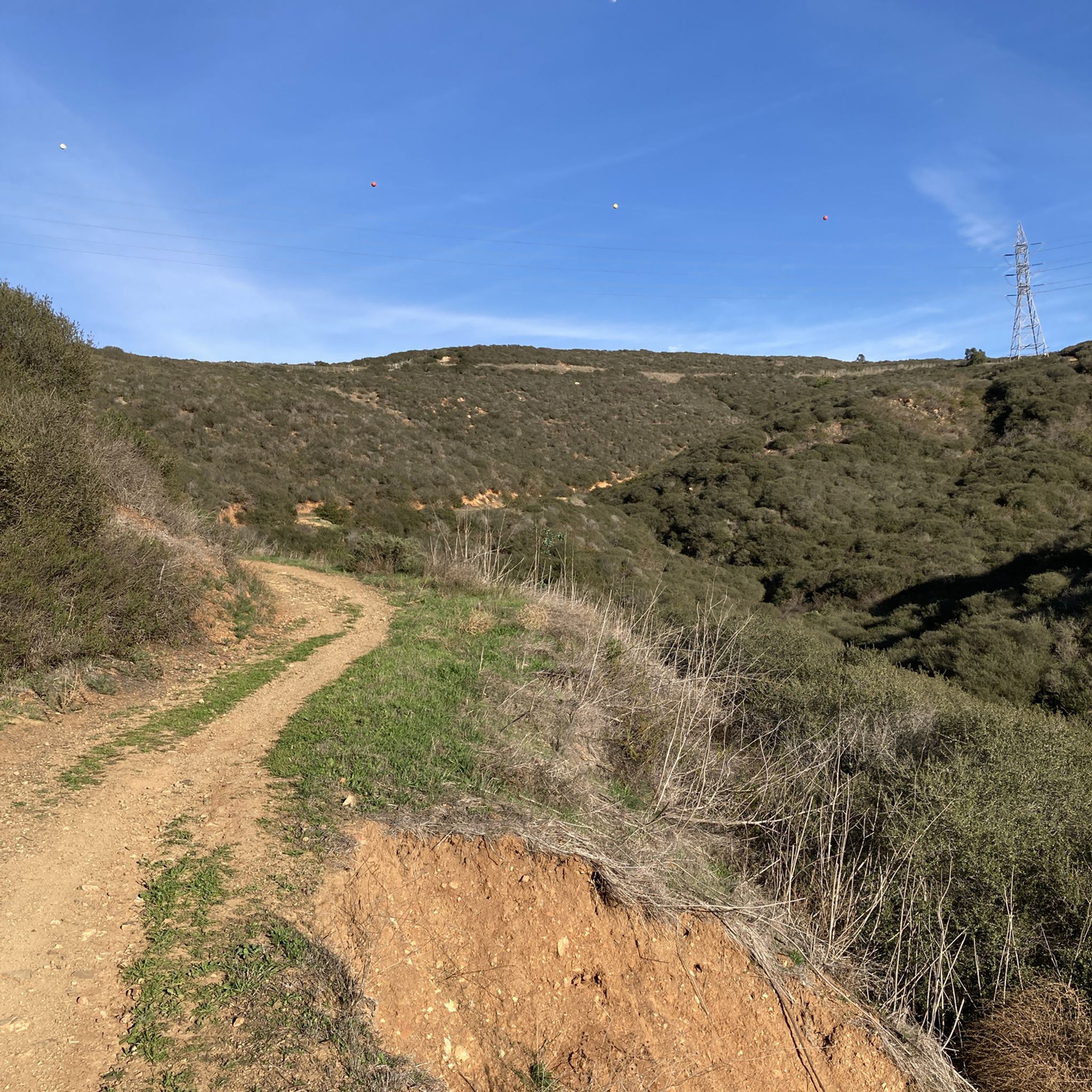
Harmony Grove Overlook is one of the marked viewpoints in the Elfin Forest Reserve. You can appreciate a nice lookout over the nearby Harmony Grove area here.
0
0

Denk Mountain is Carlbad's tallest peak. From the top, you can get a view of the ocean on a clear day! This area hosts numerous multi-use trails for both hikers and bikers.
0
0
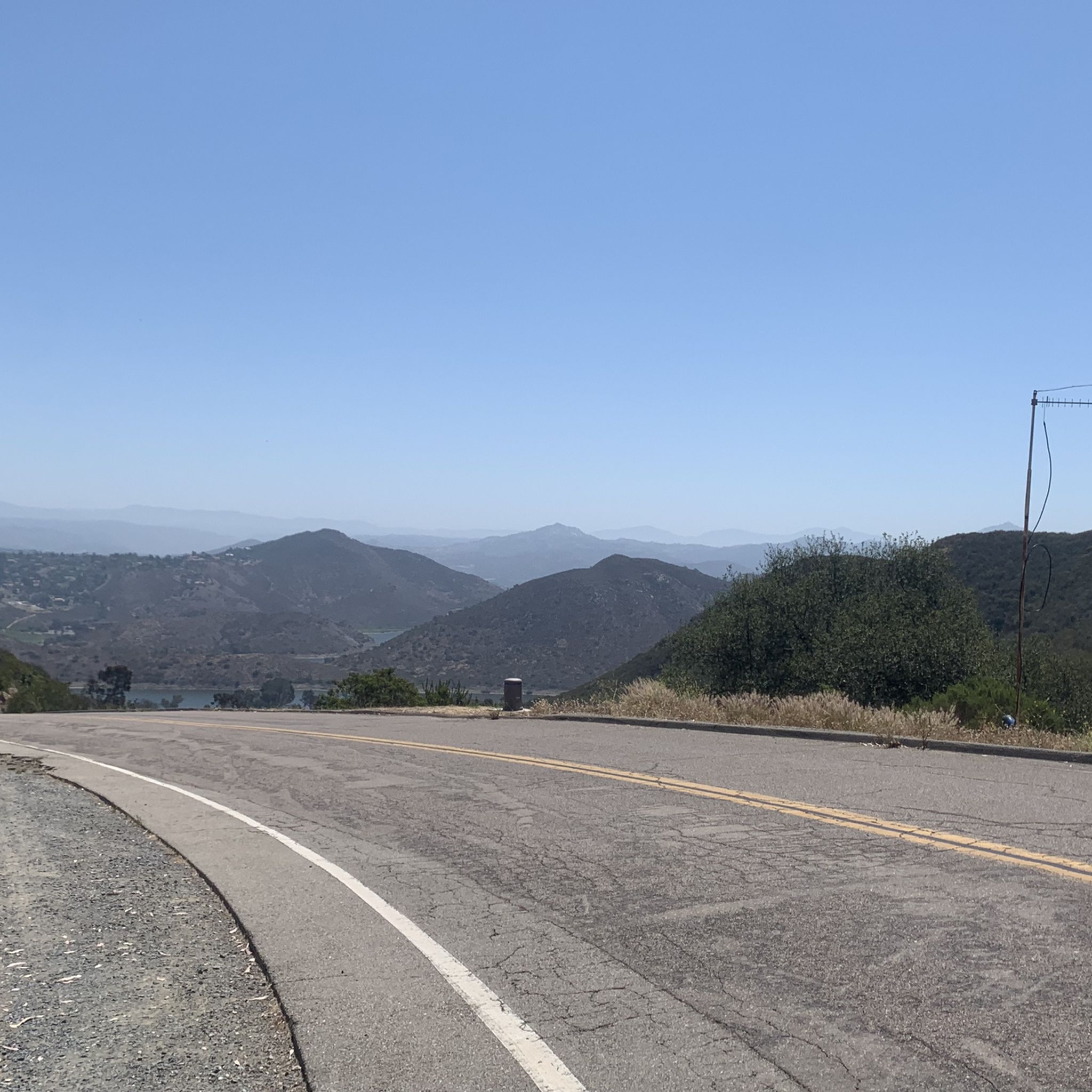
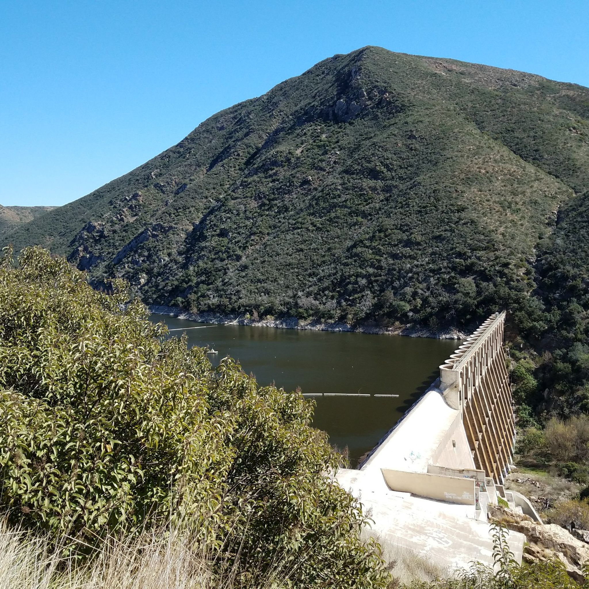
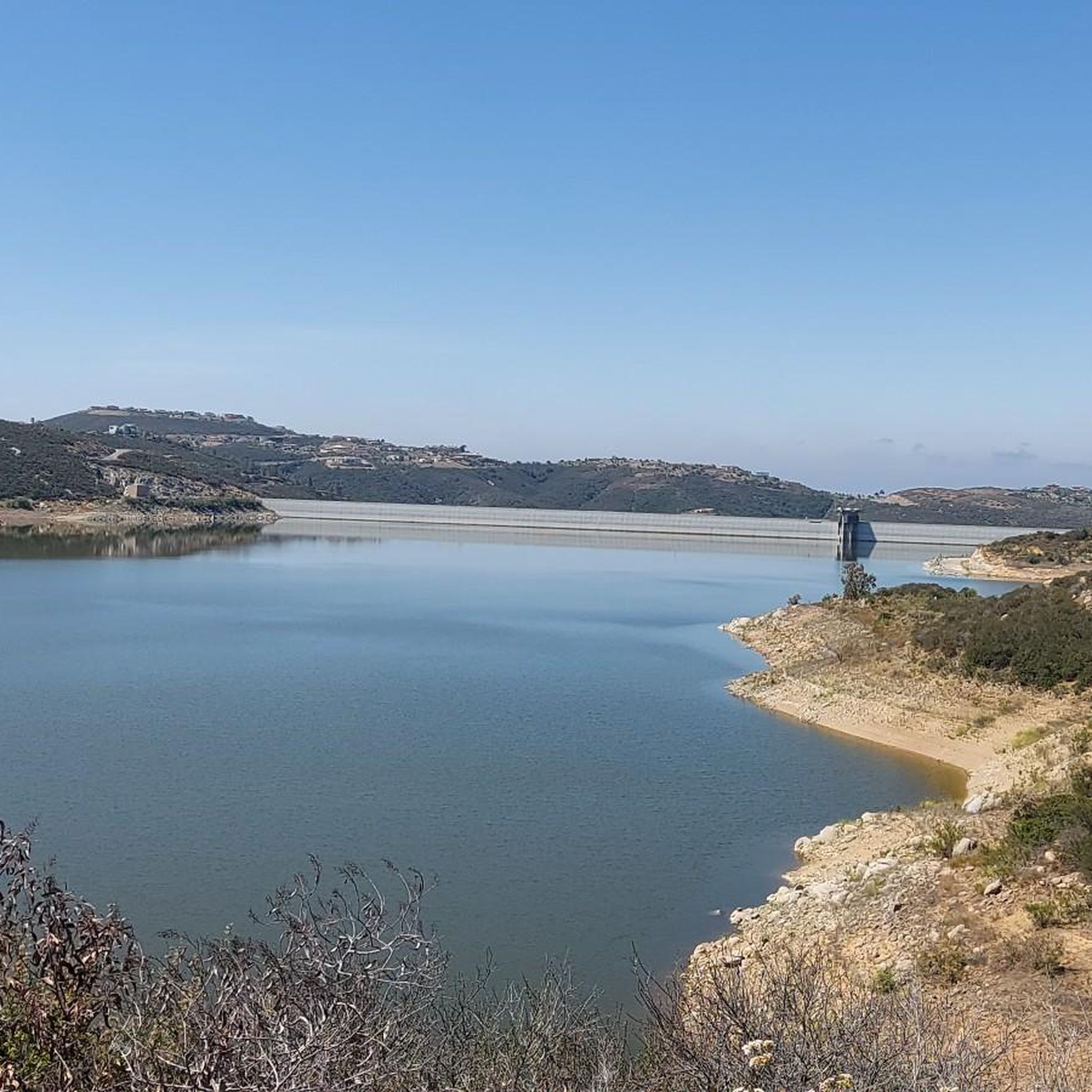
The Elfin Forest Recreational Reserve is home to the Olivenhain Reservoir and a small trail system with great lookouts, picnic areas and views of the surrounding lakes and peaks. Dogs are allowed here, and are even allowed off-leash in certain areas and on certain days.
0
0
This calm little creek is beautiful welcome to the Elfin Forest Recreational Reserve!
0
1
Frequently Asked Questions
Are dogs allowed in the Elfin Forest Recreational Reserve?
No, dogs are not permitted within the Elfin Forest Recreational Reserve to protect the area's sensitive habitats and wildlife. Service animals are an exception.
What are the parking options at Elfin Forest?
There is a designated parking lot at the main trailhead on Harmony Grove Road, which can accommodate about 30 cars. This lot fills up quickly, especially on weekends, so arriving early is recommended. Additional parking is often available along the road.
Are there any easy, family-friendly trails in the reserve?
Yes, the reserve offers trails suitable for families. The Way Up Trail to Ridgetop Picnic Area is a great option, starting with a gentle, shaded path through an oak grove. The Botanical Trail near the entrance is also flat and stroller-friendly, offering a self-guided tour of local plants.
What is the best time of year to hike in Elfin Forest?
Hiking is pleasant year-round, but the best times are typically from fall through spring when temperatures are cooler. The hills are greenest after the winter rains, and wildflowers often bloom in the spring. Summer hikes are possible, but it's best to go early in the morning to avoid the heat as many trails are exposed.
How many trails are there in the Elfin Forest area?
The Elfin Forest Recreational Reserve itself has about 11 miles (17.7 km) of designated trails. On komoot, you can explore over 50 different hiking routes in and around the area, ranging from easy walks to more challenging climbs.
Are there any circular or loop hikes available?
Yes, there are several excellent loop trails. For a shorter walk with rewarding views, consider the Way Up Trail to Harmony Grove Overlook loop. It's a great way to experience the landscape without committing to a full day's hike.
What kind of wildlife and plants can I see in Elfin Forest?
The reserve is a rich biodiverse area. You'll hike through distinct plant communities like oak riparian woodlands along Escondido Creek and coastal sage scrub and chaparral on the hillsides. Keep an eye out for native birds, reptiles, and small mammals. The area is particularly known for its 'elfin forest' of stunted chaparral plants on the upper slopes.
Are there restrooms and water available at the trailhead?
There are portable toilets available for public use in the main parking area. However, there are no drinking water fountains, so it is essential to bring enough water for your entire hike, especially on warm days.
What do other hikers enjoy most about Elfin Forest?
The area is highly rated by the komoot community, with an average score of 4.8 stars. Reviewers often praise the well-maintained trails, the beautiful scenery that changes from shaded oak groves to expansive chaparral, and the stunning panoramic views from the various overlooks.
Are there any picnic spots in the reserve?
Yes, there are several designated picnic areas. You can find spots near the main entrance for a quick break, and the Ridgetop Picnic Area offers a scenic place to rest and eat after climbing the Way Up Trail.
What is the terrain like in Elfin Forest?
The terrain is quite varied. Lower trails along Escondido Creek are relatively flat and shaded. The main trails, like the Way Up Trail, involve a steady and sometimes steep climb on well-maintained but occasionally rocky paths. The upper ridges are more exposed with chaparral and offer wide-open views.
Most popular attractions around Elfin Forest

Get inspired with the komoot mobile app


Explore more
Browse the best Hikes in other regions.
