The best MTB trails around Kings Beach
4.9
(19)
604
riders
51
rides
If you've ever tried planning mountain biking around Kings Beach, you know how quickly the options can become overwhelming. With so many trails crisscrossing the Sierra Nevada, it's tough to tell which routes are genuinely worth your time and effort, and which are just filler. We get it – you want the good stuff, not endless scrolling.
That's where komoot comes in. Our community has ridden, mapped, and reviewed countless routes here, allowing us to cut through the noise and bring you a curated shortlist of the absolute best. Consider this your shortcut to the trails that deliver, saving you the guesswork and getting you straight to the fun.
Mountain biking in Kings Beach is all about the stunning backdrop of Lake Tahoe and the rugged Sierra Nevada. Expect a fantastic mix of forested paths, unique granite rock formations, and expansive lake vistas as you climb through Jeffrey pine forests. The terrain ranges from flowing singletrack for moderate rides to demanding, multi-hour routes that will test your legs. While the trails are generally open for a long season, always check local conditions, especially in spring and fall, as higher elevation trails can be affected by snow.
If you only have time for one epic ride, we'd point you straight to the Marlette Flume Trail – Marlette Lake loop from Incline Village. At 34.0 miles (54.8 km), it's a challenging route with incredible views that truly earns its reputation. For another fantastic, albeit slightly shorter, adventure that captures the essence of the area, the Mount Watson and Tahoe Rim Trail Loop, at 25.9 miles (41.7 km), offers a rewarding blend of singletrack and panoramic scenery. Dive in and discover why more than 600 mountain bikers have already used komoot to explore these incredible trails.
Last updated: May 28, 2026
3
riders
41.7km
04:21
1,050m
1,050m
If you're seeking a truly epic mountain biking adventure, the Mount Watson and Tahoe Rim Trail Loop delivers with its diverse terrain and panoramic vistas. This difficult 25.9-mile (41.7 km) route features 3458 feet (1054 metres) of elevation gain, typically taking around 4 hours and 21 minutes to complete. You'll navigate everything from technical rock gardens and steep climbs to flowing singletrack, all while enjoying incredible views of Lake Tahoe and the serene Watson Lake.
This challenging loop demands a good level of fitness and technical riding skill, so it's best suited for experienced mountain bikers. Due to the remote nature of some sections, it's crucial to come prepared with plenty of water, food, and tools for any trailside repairs. Plan your visit during the warmer months, but be mindful of the summer heat, which can intensify the strenuous climbs.
Considered one of the best mountain bike trails in the Tahoe area, this loop is a standout within the larger Tahoe Rim Trail system. It offers a world-class mountain biking experience, combining breathtaking views from spots like Painted Rock with memorable technical descents. The varied landscape, from alpine meadows to towering forests, makes it a highly regarded destination for those ready for a significant challenge.
5.0
(1)
21
riders
55.2km
04:37
1,050m
1,060m
Hard mountain bike ride. Very good fitness required. Advanced riding skills necessary. Some portions of the route may require you to push your bike.

Sign up for free
12
riders
40.4km
03:33
740m
750m
Moderate mountain bike ride. Good fitness required. Advanced riding skills necessary.
11
riders
Easy mountain bike ride. Great for any fitness level. Suitable for all skill levels.
11
riders
Hard mountain bike ride. Good fitness required. Advanced riding skills necessary. Some portions of the route may require you to push your bike.
Get access to more routes and recommendations from other explorers.
Sign up for free
Already have an account?
Our route recommendations are based on thousands of hikes, rides, and runs completed by other people on komoot.
Start today with a free account
Your next adventure awaits.
Login or Signup

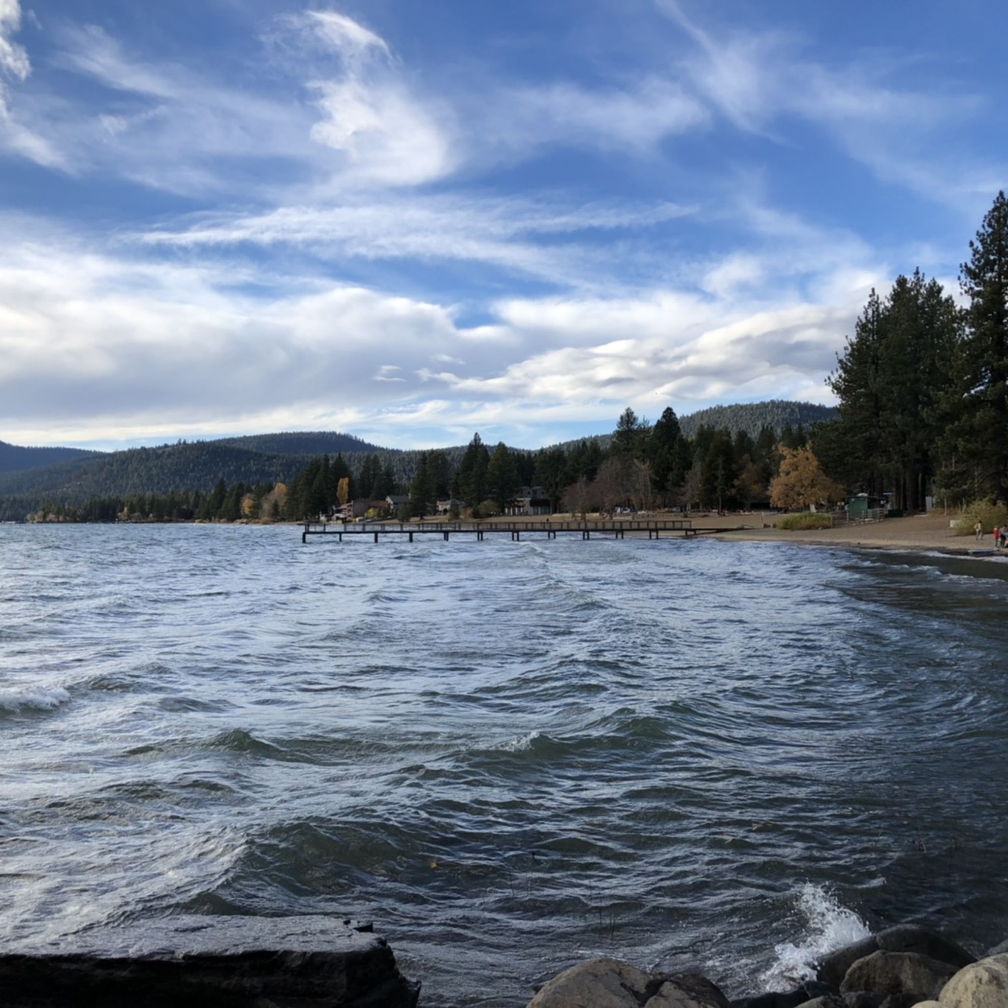
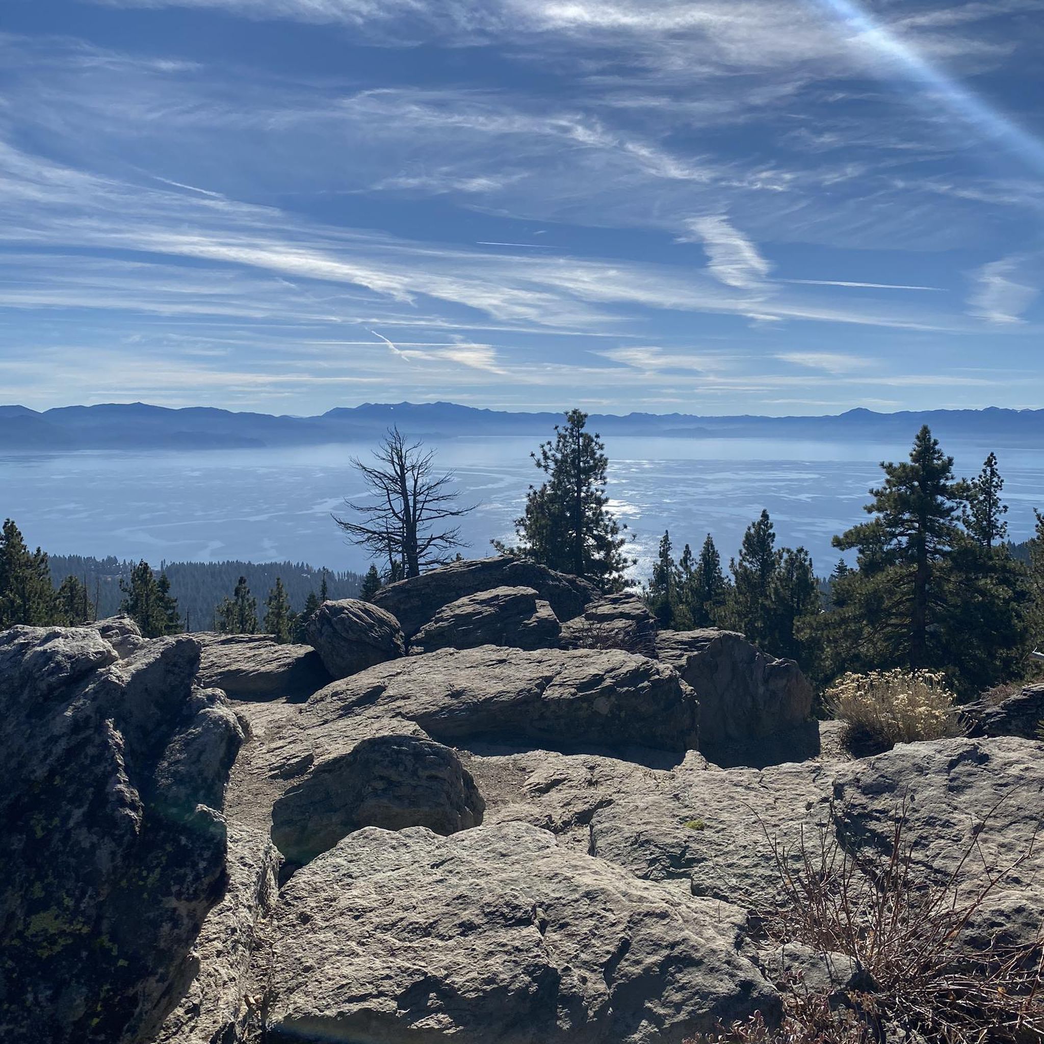
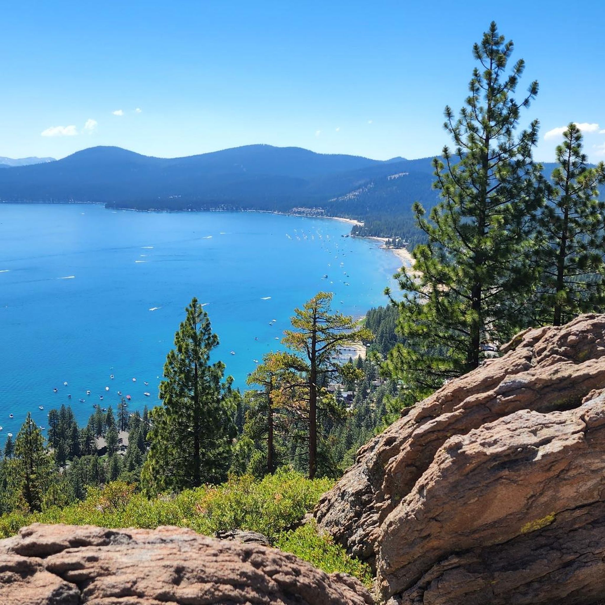
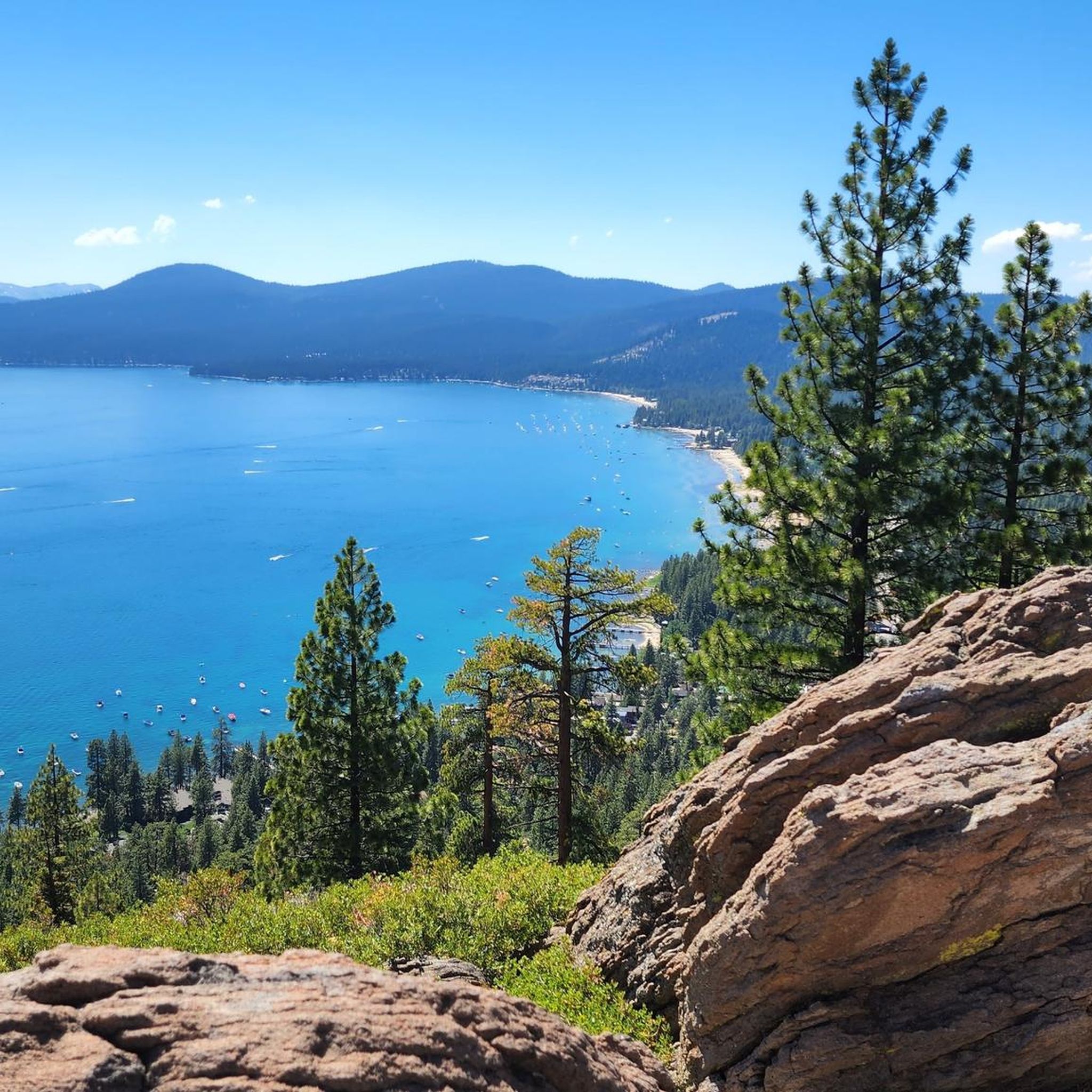

Other adventures around Kings Beach

Tips from the Community

This forest service road is a popular approach route to Marlette Lake, but it's expected to be closed through 2026 for repairs to the Marlette Lake dam. Until this trail reopens, the Capital to Tahoe Trail is a good riding alternative in the area. You can get updates on the trail closure at Nevada State Parks: https://parks.nv.gov/news/trail-closures-at-spooner-lake-state-park-backcountry-for-marlette-dam-repairs
0
0

Just south of Brockway Summit, a trailhead for the Tahoe Rim Trail and Picnic Rock.
0
0

This section of the Tahoe Rim Trail provides an easy backcountry ride with pleasant lake views along the route. It's a singletrack.
1
0
Here you'll find the trailhead for the Incline Flume Trail, along with a map and other points of interest. This is a relatively flat trail, making it perfect for beginners.
1
0


The trail from Incline Village to Sand Harbor is a must for anyone visiting North Lake Tahoe. There is one hill as you leave/enter Incline Village, but the rest of the trail is flat and follows along Tahoe's east shore, with incredible views around every corner. Eventually you'll end up at the fantastic Sand Harbor State Park, where you can enjoy the sun, sand, and water before heading back to Incline Village.
1
0

The Antone Meadows Nature Preserve features a nice multi-use trail and is part of the Burton Creek State Park. The area is mostly used for hiking and biking, and you will find many little ponds and impressive beaver dams in the meadows.
0
0
This point of the trail has a break in the trees and is slightly elevated, giving a large, 180-degree view of the surrounding forest and Lake Tahoe.
0
0
Frequently Asked Questions
How many mountain bike trails are available around Kings Beach?
Kings Beach offers a wide selection of mountain biking opportunities, with over 40 trails available. These routes cater to various skill levels, from easy family-friendly options to challenging multi-hour rides.
What types of terrain can I expect on mountain bike trails near Kings Beach?
The terrain around Kings Beach is diverse, featuring forested trails, granite rock formations, and scenic view hikes with expansive lake vistas. You'll find everything from flowing singletrack to routes with berms, jumps, and rock gardens. Some advanced trails may require very good fitness and advanced riding skills, with portions where you might need to push your bike.
Are there any easy or beginner-friendly mountain bike trails in Kings Beach?
Yes, Kings Beach offers trails suitable for beginners and families. While many routes are moderate to difficult, there are at least 2 easy trails available. These typically feature less technical terrain and more gradual ascents, allowing for a more relaxed ride.
What are some challenging mountain bike trails for experienced riders?
Experienced riders looking for a challenge will find plenty of difficult routes. For example, the Hello Kitty & Watson Lake via Tahoe Rim Trail — North Lake Tahoe is a difficult 25.9-mile route with over 3,400 feet of elevation gain. Another demanding option is the Marlette Flume Trail – Marlette Lake loop from Incline Village-Crystal Bay, which spans 34 miles and features significant elevation changes.
What scenic viewpoints or natural features can I see along the mountain bike trails?
Many trails offer stunning views of Lake Tahoe and the surrounding Sierra Nevada mountains. You can expect panoramic lake vistas, ascents through Jeffrey pine forests, and granite rock formations. Notable viewpoints and natural features include Monkey Rock, Mantis Peak Lookout, and segments of the Tahoe Rim Trail — Brockway Summit. The Marlette Flume Trail Intersection is also a key point of interest for its scenic beauty.
Are there any loop trails for mountain biking around Kings Beach?
Yes, there are several excellent loop trails. The North Tahoe Beach – North Tahoe Regional Park loop from Kings Beach is a popular 22.3-mile option that takes you through forested areas with lake views. Another significant loop is the Kings Beach Superloop, which combines sections of the Tahoe Rim Trail with a descent directly into Kings Beach.
What is the best time of year for mountain biking in Kings Beach?
The best time for mountain biking in Kings Beach is typically during the warmer months, from late spring through early fall, when trails are clear of snow. The region's diverse outdoor activities, including mountain biking, are most accessible during this period. Winter brings snow, making it suitable for skiing and snowshoeing rather than biking.
What do other mountain bikers enjoy most about the trails in Kings Beach?
The mountain bike trails around Kings Beach are highly rated by the komoot community, with an average score of 4.9 stars. Riders frequently praise the stunning lake and mountain views, the diverse terrain ranging from flowing singletrack to challenging routes, and the direct access to the extensive Tahoe Rim Trail.
Are there any nearby attractions or places to explore after a ride?
Absolutely! Kings Beach is on the north shore of Lake Tahoe, offering many attractions. You can relax at the Hidden Beach, Lake Tahoe or Sand Harbor Beach. For more scenic exploration, consider the Tahoe East Shore Trail: Incline Village to Sand Harbor. The Kings Beach State Recreation Area also offers 979 feet of sandy beachfront for relaxation.
Is there parking available near the mountain bike trails in Kings Beach?
While specific trailside parking details vary, Kings Beach is well-equipped for visitors. The Kings Beach State Recreation Area provides amenities, and various trailheads often have designated parking areas. It's advisable to check specific route details on komoot for the most accurate parking information for your chosen trail.
Are there any multi-use trails suitable for different activities?
Yes, many trails in the Kings Beach area are multi-use, accommodating various activities beyond mountain biking. This allows for shared enjoyment of the beautiful landscapes, though it's always good practice to be aware of other trail users and follow trail etiquette.
Can I access the Tahoe Rim Trail from Kings Beach mountain bike routes?
Yes, many routes around Kings Beach provide direct access to segments of the Tahoe Rim Trail (TRT). The TRT encircles the entire Lake Tahoe basin, offering extensive riding opportunities and allowing you to connect to a vast network of trails for longer adventures.
Most popular attractions around Kings Beach

Get inspired with the komoot mobile app


Explore more
Browse the best MTB trails in other regions.
