The best road cycling routes around Ladera Ranch
4.6
(76)
1,949
riders
97
rides
Road cycling around Ladera Ranch offers a variety of routes that traverse coastal areas, inland trails, and canyon roads. The region features a landscape characterized by rolling hills, proximity to the Pacific coastline, and established bikeway networks. These routes often connect several communities and provide diverse terrain for road cyclists.
Best road cycling routes around Ladera Ranch
- The most popular road cycling route is Laguna Niguel/Mission Viejo to San Clemente via Dana Point, a 30.0 miles (48.3 km) trail that takes 2 hours 22 minutes to complete. This moderate route connects several coastal communities.
- Another top favourite among local road cyclists is San Juan Creek Trail and Coastal Loop, a moderate 23.9 miles (38.5 km) path. This route combines an inland trail with coastal sections, offering varied scenery.
- Local road cyclists also love the Santiago Canyon Road – Aliso Creek Bikeway loop from Laguna Niguel/Mission Viejo, a 29.9 miles (48.2 km) trail leading through canyon roads and bikeways, often completed in about 2 hours 27 minutes.
- Road cycling around Ladera Ranch is defined by coastal paths, established bikeways, and canyon roads. The network offers options for easy road bike routes near Ladera Ranch, as well as more advanced road cycling routes.
- The routes in Ladera Ranch are highly rated by the komoot community with an average score of 4.8 stars from over 60 reviews. More than 1700 road cyclists have used komoot to explore Ladera Ranch's varied terrain.
Last updated: July 21, 2026
29
riders
48.3km
02:22
670m
670m
Embark on a moderate road cycling adventure from Laguna Niguel/Mission Viejo to San Clemente via Dana Point, covering 30.0 miles (48.3 km) with a total elevation gain of 2210 feet (674 metres). This route offers a diverse experience, starting with views alongside San Juan Creek and passing through local parks. As you approach Dana Point, the scenery shifts to stunning coastal vistas, especially as you ride past Doheny State Beach and continue towards San Clemente. You can expect to complete this journey in about 2 hours and 22 minutes, enjoying the iconic Southern California coastline.
Before you head out, be aware that a segment of the San Clemente Beach Trail, specifically between the El Portal and Mariposa access points, was closed indefinitely as of February 2024 due to slope movement. It is wise to check local conditions for any updates before your ride. You will find parking generally available at various points along the route, with Doheny State Beach serving as a convenient access point. Remember that in some areas, such as near the San Clemente Pier, you must walk your bike to avoid fines.
This route stands out for its blend of inland and coastal cycling, primarily utilizing interconnected paved trails. It offers a unique opportunity to experience both the serene environment alongside San Juan Creek and the vibrant Pacific Coast Highway. The journey culminates with the San Clemente Beach Trail, keeping you close to the ocean and providing easy access to the area's beautiful beaches.
5.0
(2)
18
riders
38.5km
01:52
530m
540m
Embark on a moderate road cycling adventure along the San Juan Creek Trail and Coastal Loop, covering 23.9 miles (38.5 km) with an elevation gain of 1753 feet (534 metres). This route offers a diverse experience, blending inland scenery with coastal vistas. You will cycle alongside orange trees and greenbelts in the creek's inland sections, sometimes passing stable districts. As you near the Pacific, the path opens up to classic Southern California ocean views, particularly around Doheny State Beach and North Beach. Expect to complete this journey in about 1 hour and 51 minutes, enjoying the varied landscapes.
Accessing the route is straightforward, with multiple entry points available. You can begin your ride from Doheny State Beach or various parks located within San Juan Capistrano. Convenient parking facilities are provided at these starting locations. Along the way, you will find restrooms and water sources at trailheads and within the parks, ensuring a comfortable ride. Consider starting early to enjoy cooler temperatures and fewer crowds, especially during peak seasons.
This route stands out for its unique transition from the tranquil, agricultural feel of the San Juan Creek area to the vibrant coastal environment. You will experience the distinct character of Orange County, moving from lush greenbelts and stable districts to the expansive views of the Pacific Ocean. The trail effectively connects two different worlds, offering a comprehensive glimpse into the region's natural beauty and recreational opportunities.

Sign up for free
76
riders
Moderate road ride. Good fitness required. Some segments of this route may be unpaved and difficult to ride.
43
riders
110km
05:13
1,290m
1,290m
Hard road ride. Very good fitness required. Mostly well-paved surfaces and easy to ride.
5.0
(1)
82
riders
46.7km
02:20
390m
390m
Moderate road ride. Good fitness required. Mostly well-paved surfaces and easy to ride.
Get access to more routes and recommendations from other explorers.
Sign up for free
Already have an account?
Our route recommendations are based on thousands of hikes, rides, and runs completed by other people on komoot.
Start today with a free account
Your next adventure awaits.
Login or Signup
Tips from the Community

Cook’s Corner is a classic stop for cyclists riding through Santiago Canyon and one of the most popular biker hangouts in Southern California. It’s casual and bike-friendly, with shaded picnic tables and plenty of space to park. Grab a burger or a cold drink, rest your legs, and soak in the lively atmosphere—especially on weekends when it’s packed with motorcycles and live music.
0
0

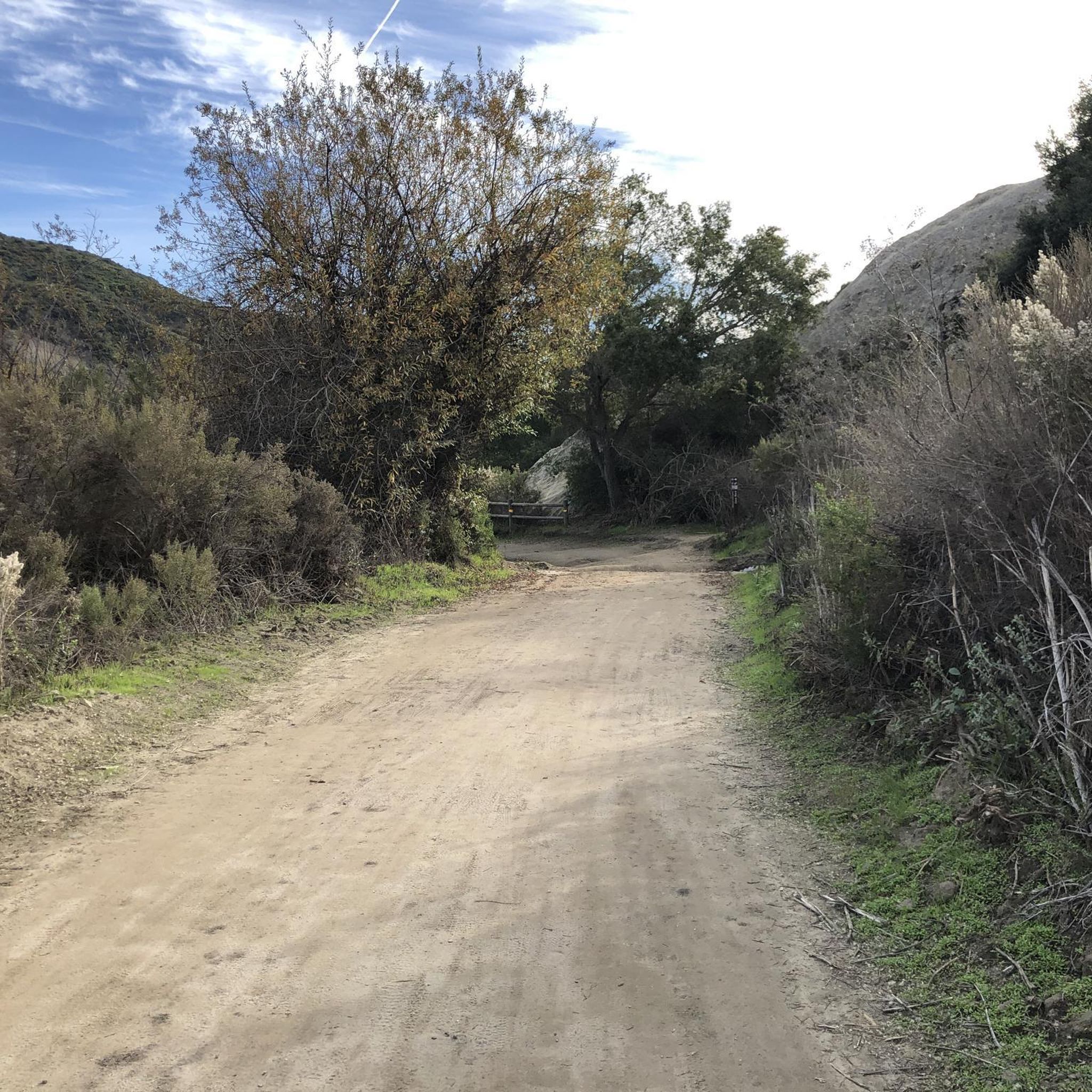
The Aliso Creek Trail goes from South Laguna to Rancho Santa Margarita. It is an 18.5-mile multi use trail corridor that goes through a number of parks on the way. There are plenty of rest areas on the way for you. Starting shoreside, the trail goes gradually uphill, but it will be a fun trip on the way back.
0
0

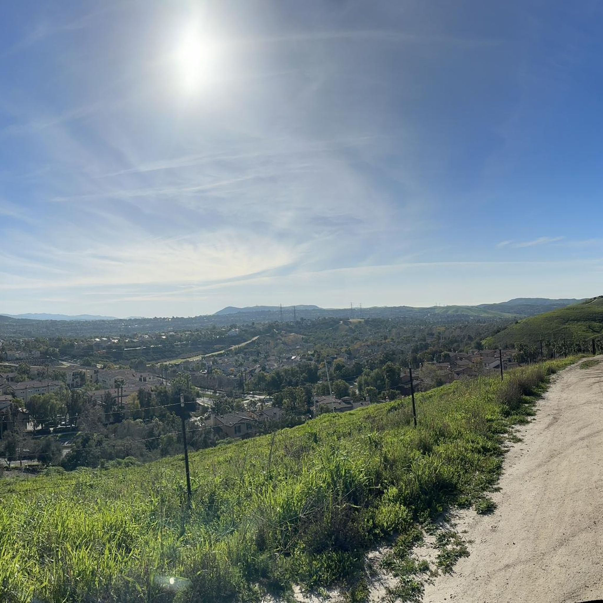
The trail here is paved and designed specifically for foot traffic and bikes with two separate cycling lanes. You get great views across Newport Bay to the ecological reserve as you pass by a couple small parks and vista points.
0
0

From this spot, you get a nice view over the Upper Newport Bay Ecological Reserve. It is one of Southern California's largest remaining coastal wetlands. This estuary comprises diverse habitats, including salt marshes, mudflats, and riparian zones, providing critical environments for numerous plant and animal species. The reserve is also a vital stopover for migratory birds along the Pacific Flyway, with up to 35,000 birds present during winter migration. It supports nearly 200 bird species, including endangered ones like the Light-footed Clapper Rail and California Least Tern.
0
0

❗The northern segment of the Back Bay Loop Trail, specifically the Bay View Trail including the pedestrian bridge, is closed for repairs from December 9 to December 27, 2024. This closure is in effect daily, including weekends. A detour along Mesa Drive is available for trail users to reconnect with the trail.
0
0


Laguna Niguel Lake, formerly known as Sulphur Creek Reservoir, is a 44-acre recreational lake that was created by the Sulphur Creek Dam. The fee to access the park and lake is $3 on weekdays, $5 on weekends, and $7 on holidays.
0
0

Overlooking picturesque Dana Point Harbor, Lantern Bay Park offers expansive green space with plenty of pine trees for shade, perfect for a relaxing outdoor escape. With amenities including a playground, bocce ball court, and public restrooms, the sprawling park also hosts a donation-based morning yoga class, daily at 10am.
0
0
Frequently Asked Questions
How many road cycling routes are available around Ladera Ranch?
There are over 90 road cycling routes around Ladera Ranch, offering a wide variety of options for different skill levels and preferences. The komoot community has explored these routes over 1700 times.
Are there road cycling routes suitable for beginners in Ladera Ranch?
Yes, Ladera Ranch offers a good selection of routes for beginners. There are 17 easy road cycling routes that typically feature flatter terrain, often utilizing established bikeways or coastal paths. These routes are a great way to enjoy the scenery without significant climbs.
What kind of terrain can I expect on road cycling routes around Ladera Ranch?
Road cycling around Ladera Ranch features a diverse landscape. You'll find routes traversing coastal areas with ocean views, established inland bikeways, and more challenging canyon roads with rolling hills. This variety ensures options for all types of road cyclists.
Are there any challenging road cycling routes for experienced riders?
Absolutely. For experienced riders seeking a challenge, there are 6 difficult road cycling routes around Ladera Ranch. These routes often include more significant elevation gains and longer distances, such as the Aliso Creek Bikeway – Santiago Canyon Road loop from Laguna Niguel/Mission Viejo, which covers over 47 miles with substantial climbing.
What is the best time of year for road cycling in Ladera Ranch?
Ladera Ranch offers excellent road cycling conditions for much of the year. Spring and fall provide ideal temperatures, while winters are generally mild. Summers can be warm, especially inland, so early morning rides are recommended during peak heat. Always check local weather forecasts before heading out.
Are there loop routes available for road cyclists?
Yes, many road cycling routes around Ladera Ranch are designed as loops, allowing you to start and finish at the same point. Examples include the Santiago Canyon Road – Aliso Creek Bikeway loop from Laguna Niguel/Mission Viejo and the Doheny State Beach – North Beach loop from Las Flores, offering varied scenery from canyons to the coast.
What are some scenic viewpoints or attractions I can find along the routes?
Many routes offer scenic views, especially those along the coast or through canyons. While cycling, you might pass by natural attractions like Doheny State Beach, known for its beautiful coastline. Other points of interest in the broader area include the Butterfly Garden and the Top of the World Viewpoint, offering panoramic vistas.
What do other road cyclists enjoy most about road cycling in Ladera Ranch?
The road cycling routes in Ladera Ranch are highly rated by the komoot community, with an average score of 4.8 stars from over 60 reviews. Cyclists often praise the diverse terrain, from coastal paths to canyon roads, and the well-maintained bikeway networks that connect various communities, offering varied and engaging rides.
Are there routes that pass through towns or areas with cafes and amenities?
Many routes around Ladera Ranch connect or pass through coastal communities and towns like Dana Point, San Clemente, and Laguna Niguel. These areas typically offer various amenities, including cafes, restaurants, and bike shops, making it convenient to refuel or take a break during your ride. The Laguna Niguel/Mission Viejo to San Clemente via Dana Point route is a good example.
What is the typical duration for road cycling routes in this area?
The duration of road cycling routes around Ladera Ranch varies significantly depending on the route's length and your pace. Moderate routes like the San Juan Creek Trail and Coastal Loop typically take around 2 hours, while longer, more challenging routes can extend to 3-4 hours or more.
Is parking readily available near the starting points of road cycling routes?
Parking availability varies by route and starting point. Many routes begin or pass through public parks, trailheads, or community centers which often have designated parking areas. For coastal routes, public beach parking lots are common. It's advisable to check specific route details or local maps for parking information before your ride.
What kind of gear is recommended for road cycling in Ladera Ranch?
Given the varied terrain, a well-maintained road bike is essential. Depending on the season, lightweight, breathable cycling apparel is recommended for warmer months, while layers might be useful during cooler periods. Always carry water, nutrition, a repair kit, and wear a helmet. For routes with significant climbs, appropriate gearing will enhance your experience.
Most popular attractions around Ladera Ranch

Get inspired with the komoot mobile app


Explore more
Browse the best Road cycling routes in other regions.
