The best cycling routes around Las Flores
5.0
(50)
814
riders
81
rides
Touring cycling routes around Las Flores, California, traverse a landscape characterized by rolling hills, creek beds, and regional parks. The area features a network of trails that wind through canyons and open spaces, offering varied elevations. Routes often follow natural waterways like Trabuco Creek and explore protected areas such as O'Neill Regional Park. The terrain provides a mix of moderate climbs and descents suitable for touring cyclists.
Best touring cycling routes around Las Flores
- The most popular touring cycling route…
Last updated: July 10, 2026
5.0
(3)
34
riders
31.4km
02:02
380m
380m
Moderate bike ride. Good fitness required. Mostly paved surfaces. Suitable for all skill levels.
3.0
(2)
27
riders
32.3km
01:58
250m
250m
Moderate bike ride. Good fitness required. Mostly paved surfaces. Suitable for all skill levels.

Sign up for free
19
riders
19.7km
01:53
320m
330m
Moderate bike ride. Good fitness required. Mostly paved surfaces. Suitable for all skill levels.
19
riders
15.1km
01:24
290m
290m
Moderate bike ride. Good fitness required. Mostly paved surfaces. Suitable for all skill levels.
17
riders
14.5km
01:19
240m
240m
Moderate bike ride. Good fitness required. Mostly paved surfaces. Suitable for all skill levels.
Get access to more routes and recommendations from other explorers.
Sign up for free
Already have an account?
Our route recommendations are based on thousands of hikes, rides, and runs completed by other people on komoot.
Start today with a free account
Your next adventure awaits.
Login or Signup
Tips from the Community

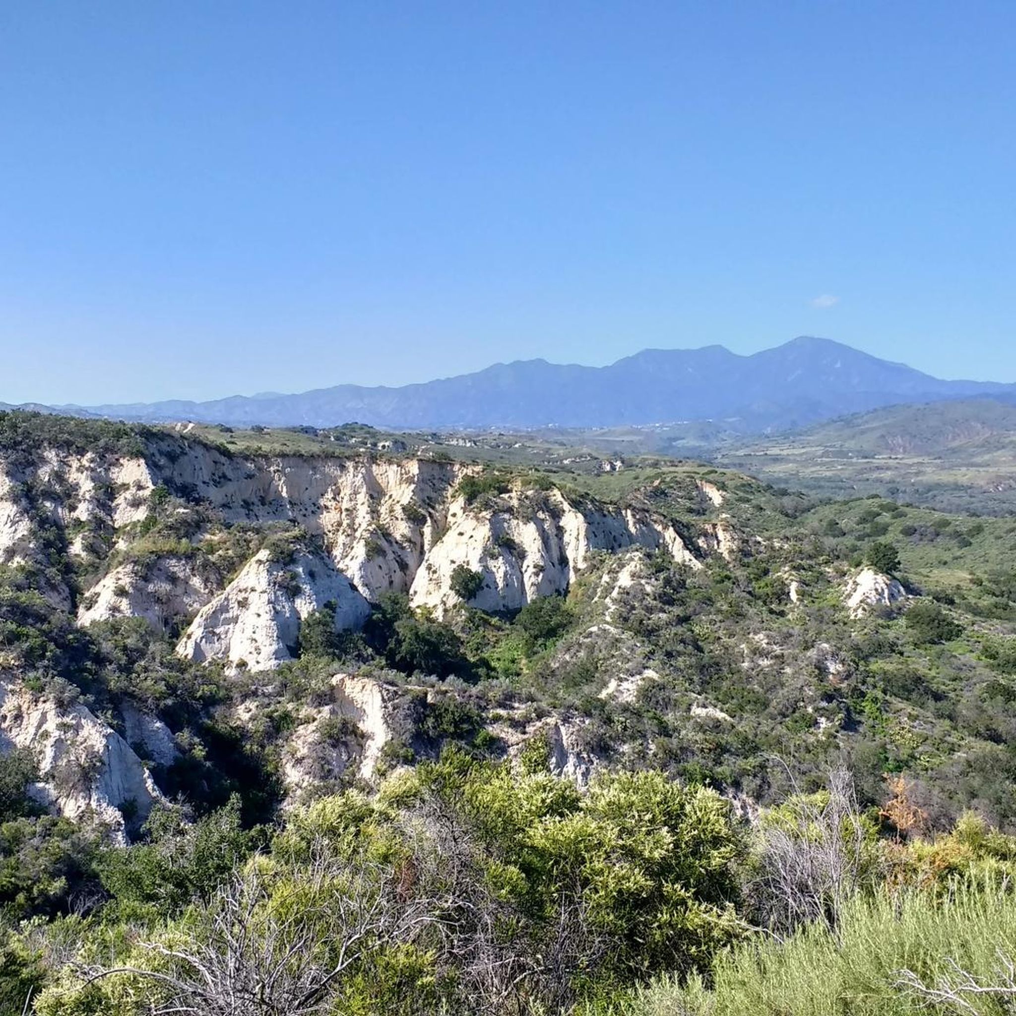
Santiago Canyon Road is a scenic favorite for road cyclists in Orange County. It’s a long, winding stretch with rolling hills, light traffic, and wide shoulders in most parts. The views of open hills and oak trees make the climb worth it, and you’ll find classic stops along the way for a break.
0
0
Cook’s Corner is a classic stop for cyclists riding through Santiago Canyon and one of the most popular biker hangouts in Southern California. It’s casual and bike-friendly, with shaded picnic tables and plenty of space to park. Grab a burger or a cold drink, rest your legs, and soak in the lively atmosphere—especially on weekends when it’s packed with motorcycles and live music.
0
0

The Aliso Creek Trail goes from South Laguna to Rancho Santa Margarita. It is an 18.5-mile multi use trail corridor that goes through a number of parks on the way. There are plenty of rest areas on the way for you. Starting shoreside, the trail goes gradually uphill, but it will be a fun trip on the way back.
0
0

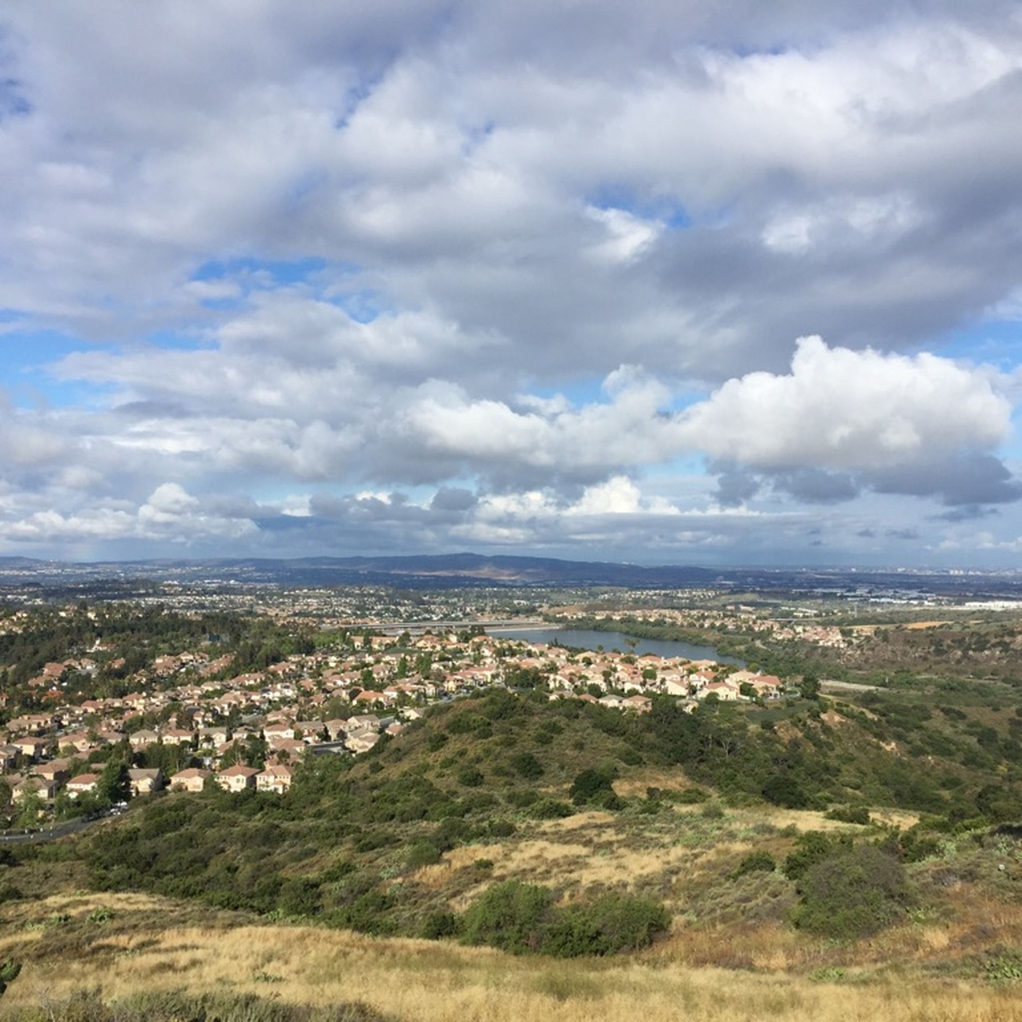
Santiago Canyon Road is a great option for a ride with rolling hills and great views. As you get to the top of each hill, you are treated with a great view of the valley you just climbed out of.
0
0

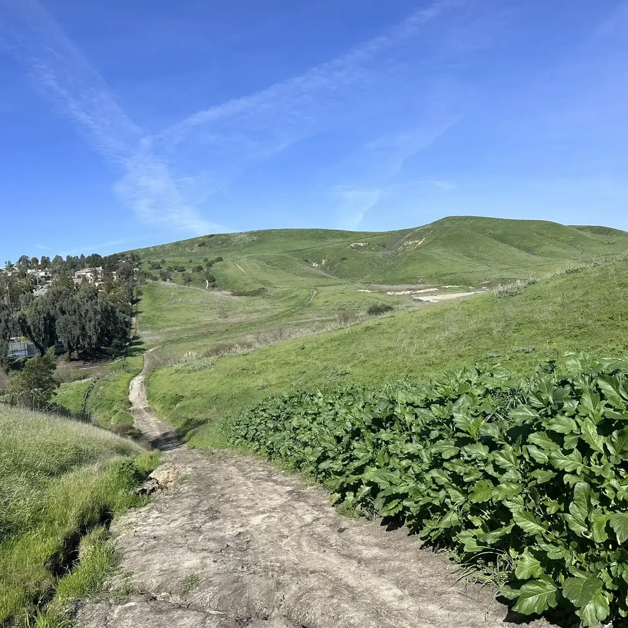
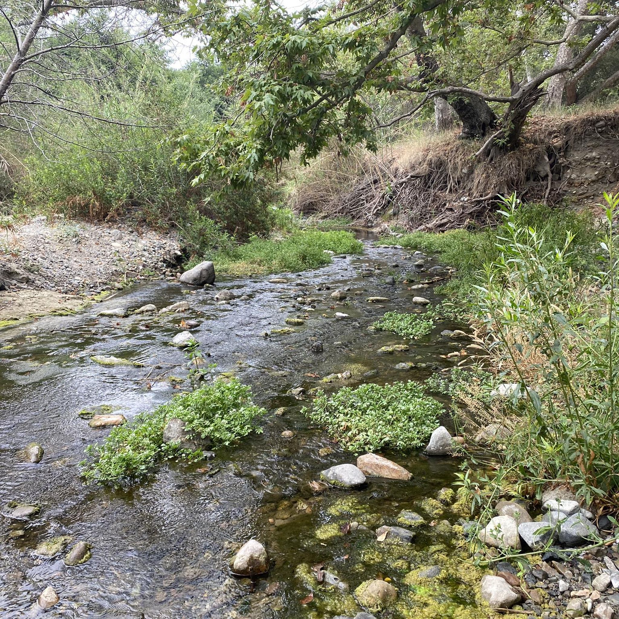
There is a good network of wide gravel and packed dirt trails that run along Trabuco Creek west of Ladera Ranch. There are many places where you can cross the creek to access the trails in the arroyos on the other side.
1
0

Aliso and Wood Canyons Wilderness Park includes over 4,500 acres of untouched wilderness and natural areas. A lot of the "roads" in the park are smooth double-track paths, and there is a fair bit of singletrack as well.
0
0
There is a large packed dirt parking lot here with restrooms by the trailhead. The park charges a $3 fee. From here you have access to the trails along Aliso Creek, and you can head south to connect to the trail system around Dripping Cave and Cave Rock.
0
0

Aliso Creek Bikeway offers a scenic 19-mile trail in Orange County, California, winding through lush landscapes, parks, and residential areas. Popular for cycling and walking, it provides a serene outdoor experience.
0
0
Frequently Asked Questions
How many touring cycling routes are available around Las Flores?
There are over 80 touring cycling routes around Las Flores, California, offering a wide variety of options for different skill levels and preferences. These routes traverse rolling hills, creek beds, and regional parks.
Are there touring cycling routes suitable for beginners in Las Flores?
Yes, Las Flores offers 13 easy touring cycling routes, perfect for beginners or those looking for a more relaxed ride. The area also has 48 moderate routes and 21 difficult routes for more experienced cyclists.
What kind of terrain can I expect on touring cycling routes in Las Flores?
The touring cycling routes in Las Flores feature a diverse landscape of rolling hills, creek beds, and regional parks. You'll find trails winding through canyons and open spaces, with varied elevations that include both moderate climbs and descents.
What are some popular loop routes for touring cyclists in Las Flores?
Many routes in Las Flores are loops, offering a convenient way to explore. Popular options include the Trabuco Creek Trails – Town Center Gazebo loop from Ladera Ranch, the Trabuco Creek – O'Neill Regional Park loop from Ladera Ranch, and the O'Neill Regional Park – Live Oak Canyon Trail loop from Las Flores.
What can I see or visit along the touring cycling routes in Las Flores?
Along the touring cycling routes, you can explore natural areas like O'Neill Regional Park, known for its forest environment. You might also encounter historical sites such as Mission San Juan Capistrano, or enjoy a stop at Cook's Corner, a local pub.
Are there any trails specifically mentioned for their difficulty or elevation?
Yes, several trails are known for their varying difficulty and elevation. For example, the Aliso Creek Trail and San Juan Trail are notable. The Trabuco Creek Trails – Ladera Ranch Trails loop from Las Flores is considered a difficult route with over 500 meters of elevation gain.
What do other touring cyclists say about the routes in Las Flores?
The touring cycling routes in Las Flores are highly rated by the komoot community, with an average score of 4.8 stars from over 40 reviews. Cyclists often praise the varied terrain, the scenic creek trails, and the natural beauty of the regional parks.
Are there any family-friendly touring cycling routes in Las Flores?
While specific 'family-friendly' routes aren't explicitly detailed, the 13 easy routes available would be suitable for families looking for a less strenuous ride. These routes typically have gentler gradients and shorter distances.
Is public transport available to access touring cycling trails near Las Flores?
Information on specific public transport links directly to trailheads is not provided in the guide. However, many routes are accessible from residential areas like Ladera Ranch, which may have local transport options. It's advisable to check local transit schedules for the most up-to-date information.
Where can I find parking for touring cycling routes in Las Flores?
Parking is generally available near trailheads and regional parks in the Las Flores area. For routes starting from Ladera Ranch or O'Neill Regional Park, designated parking facilities are typically provided. Always check specific route details for recommended parking spots.
What is the best time of year for touring cycling in Las Flores?
Las Flores, California, generally offers pleasant cycling conditions for much of the year. Spring and fall provide mild temperatures, ideal for touring. Summers can be warm, while winters are typically mild, though occasional rain may occur. Checking the local weather forecast before your ride is always recommended.
Are there any permits required for cycling in Orange County open spaces near Las Flores?
While general access to many trails is open, some specific areas within Orange County's open spaces or regional parks might require permits or have specific regulations. It's always best to check with the Orange County Parks website or the specific park's authority for the latest information on permits before planning your ride.
Most popular attractions around Las Flores

Get inspired with the komoot mobile app


Explore more
Browse the best Cycling routes in other regions.
