Routes

Planner

Features

Updates

App

Login or Signup

Get the App

Login or Signup

Routes
Hikes
United States
California
Alpine County

Mesa Vista

The best walks and hikes around Mesa Vista

4.0

(2)

47

hikers

10

hikes

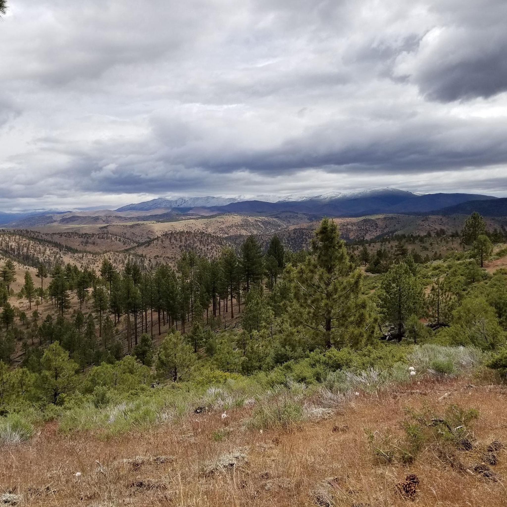
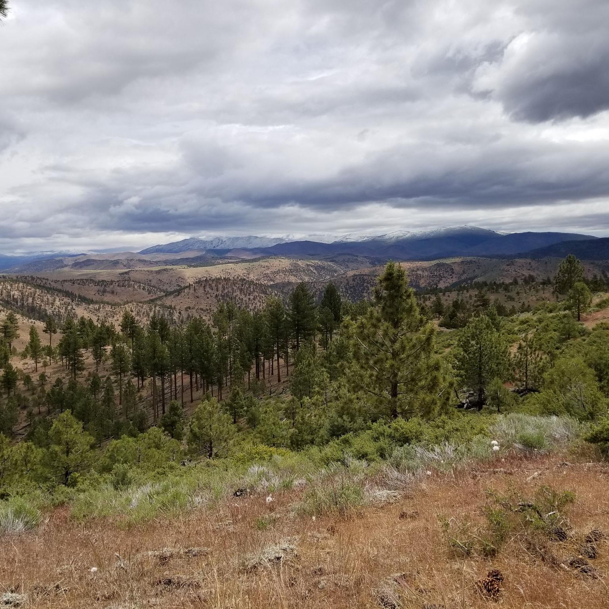
Hiking around Mesa Vista features mountainous terrain with significant elevation changes, characteristic of the Sierra Nevada region. The landscape includes high peaks, alpine lakes, and river valleys, offering diverse environments for outdoor activities. Trails often traverse forested areas and open ridges, providing expansive views. The region's geology contributes to varied path conditions, from rocky ascents to more gradual slopes.

Best hiking trails around Mesa Vista

  • The most popular hiking route is Tahoe Rim Trail to Freel Peak, a 9.4 miles (15.1 km) trail that takes 5 hours 8 minutes to complete. This difficult route ascends to Freel Peak, offering panoramic views of the surrounding mountains.
  • Another top favourite among local hikers is Tahoe Rim Trail to Star Lake, a difficult 11.2 miles (18.0 km) path. This trail leads to Star Lake, passing through high-altitude landscapes with notable elevation gain.
  • Local hikers also love the Jobs Peak Trail, a 4.2 miles (6.8 km) trail leading through mountainous terrain, often completed in about 2 hours 49 minutes.
  • Hiking around Mesa Vista is defined by high mountain peaks, alpine lakes, and forested slopes. The network offers options for different ability levels, from moderate climbs to difficult, sustained ascents.
  • The routes in Mesa Vista are highly rated by the komoot community with an average score of 4.0 stars from 2 reviews. More than 40 hikers have used komoot to explore Mesa Vista's varied terrain.

Last updated: July 8, 2026

2

hikers

#1.

Tahoe Rim Trail: Armstrong Pass to Big Meadow

16.7km

04:58

420m

730m

Embark on a moderate hike along the Tahoe Rim Trail from Armstrong Pass to Big Meadow, covering 10.4 miles (16.7 km) with an elevation gain of 1381 feet (421 metres). This route offers a diverse experience, taking you through forested areas, sandy paths, and rocky outcroppings that lead to scenic ridgelines. You can expect expansive views of Lake Tahoe and Hope Valley, with a specific rocky outcropping providing unobstructed vistas of the lake. The journey, estimated to take around 4 hours and 58 minutes, also features meadows abundant with wildflowers, adding to the natural beauty of the trail.
When planning your visit, you will find parking generally available at the Armstrong Pass trailhead, making access straightforward. Be aware that this is a mixed-use path, so you should remain alert for mountain bikers who may approach quickly. While the overall difficulty is moderate, prepare for a strenuous initial climb of over 1,000 feet in the first mile and a half.
This section of the Tahoe Rim Trail is situated within the Humboldt-Toiyabe National Forest, offering a classic Sierra Nevada experience. The trail's significant climbs reward you with panoramic views that showcase the vastness of the landscape, from the deep blue of Lake Tahoe to the sprawling Hope Valley. It provides an excellent opportunity to immerse yourself in the high-altitude environment and observe the transition of ecosystems.

Navigate with device

Send to Phone

Save

Moderate

2

hikers

8.25km

02:29

200m

400m

Embark on a moderate 5.1-mile (8.2 km) hike to the Carson River Hot Spring, a journey that typically takes about 2 hours and 29 minutes. You will gain 664 feet (202 metres) as you traverse a varied landscape, from pine-covered sections to open sagebrush basins. The trail itself is quite rocky, featuring steep climbs and descents, but it rewards you with expansive views of the Carson River's canyon and the distant High Sierra peaks. Your destination is the natural hot spring pools, easily identified by the distinctive neon orange and yellow moss that thrives in the geothermally heated waters.

Be prepared for a challenging experience on this route. The path is very rocky, with significant obstacles and sections of steep ascent and descent. You will encounter varied surfaces, including gravel, rock, and sand, and depending on the season, you might need to navigate deep mud or creek crossings up to 12 inches deep. It can get extremely hot and dry in this area, so carrying plenty of water is essential for your safety and comfort. Plan your visit accordingly, especially considering the potential for high temperatures.

This trail offers a unique opportunity to explore the high-desert and Sierra Nevada landscapes, culminating in a soak in natural hot springs. The area is a popular sanctuary, attracting not only hikers but also off-highway vehicle enthusiasts. You will find unofficial wilderness campsites with fire pits nearby if you wish to extend your stay and further immerse yourself in the distinctive environment of the Humboldt-Toiyabe National Forest.

Moderate
guide_signup
Let us show you the way with the komoot mobile app
With aΒ free komoot account, you can easily find, customize, and navigate endless outdoor adventures.

Sign up for free

Embark on a moderate hike to Freel Peak from Armstrong Pass, covering 5.1 miles (8.1 km) with a significant elevation gain of 2539 feet (774 metres). This route typically takes around 2 hours and 56 minutes to complete. As you ascend, you will witness the landscape change from forests dotted with purple lupines and ancient Junipers to wide-open meadows and rugged rocky areas, all while enjoying continuous views of the Crystal Range in Desolation Wilderness.

Before you head out, be aware that the access road to the trailhead, Forest Service Road 051, can be quite rough. You might need a high-clearance vehicle or even a 4WD to reach the starting point comfortably. Even during summer months, prepare for high-altitude conditions and the possibility of encountering snowfields as you get closer to the summit.

This trail offers a unique opportunity to reach the highest point within the Lake Tahoe Basin. From the upper sections, the route becomes more exposed, revealing expansive vistas of Lake Tahoe itself and the vast high desert stretching into Nevada. The summit of Freel Peak rewards you with unparalleled 360-degree panoramic views, making the challenging climb well worth the effort.

Moderate

3.63km

01:01

90m

40m

Hope Valley invites you on an easy hike through a scenic mountain landscape, perfect for a quick outdoor escape. This route covers 2.3 miles (3.6 km) with a gentle elevation gain of 286 feet (87 metres), taking approximately 1 hour to complete. You will wander past green meadows, alongside the meandering West Carson River, and discover clear alpine lakes, all framed by peaks reaching over 10,000 feet.

This trail is a year-round destination, offering different charms with each season. Parking is generally available, making it easy to start your adventure. While the trail itself is usually accessible, be aware that the broader valley transforms into snowfields during winter, attracting snowshoers and cross-country skiers. Plan your visit accordingly if you prefer a snow-free hike.

Located within the vast Humboldt-Toiyabe National Forest, Hope Valley is particularly renowned for its spectacular fall foliage. During autumn, the aspens ignite the valley with vibrant reds, golds, and oranges, creating a truly memorable experience for leaf-peepers. Even outside of the fall season, the valley's undeveloped natural beauty and its setting at around 7,000 feet offer a refreshing escape.

Easy

12

hikers

Hike the difficult 9.4-mile Tahoe Rim Trail to Freel Peak for 360-degree views of Lake Tahoe and the surrounding wilderness.

Hard
Sign up for free to see 6 more hikes around Mesa Vista.

Get access to more routes and recommendations from other explorers.

Sign up for free

Already have an account?

Our route recommendations are based on thousands of hikes, rides, and runs completed by other people on komoot.

Start today with a free account

Your next adventure awaits.

Login or Signup

Popular around Mesa Vista

Road Cycling Routes around Mesa Vista

Cycling around Mesa Vista

Tips from the Community

Alexandra P
January 24, 2025, Armstrong Pass

Here, you'll reach Armstrong Pass. The trail to get here features a gradual climb with a few hundred feet of elevation gain. You can access several trails from this pass.

1

0

Lisa
December 18, 2023, Freel Peak

Freel Peak stands 10,886 feet (3,318 m) high, making it the tallest peak in El Dorado County. Because most of the peak's prominence is above treeline, it offers sensational views.

0

0

Lisa
August 26, 2023, Freel Peak

Freel Peak stands 10,886 feet (3,318Β m) high, making it the tallest peak in El Dorado County. Because most of the peak's prominence is above treeline, it offers sensational views.

1

0

Big Meadow Trailhead is a good spot to access Mr Toad's Wild Ride. It's pretty common to tackle this trail by shuttling with a friend, but you can turn it into a loop if you have the time and energy for a long day in the saddle.

0

0

Here, we have a beautiful view of Lake Tahoe and the Hope Valley.

Translated by Googleβ€’

1

0

Just at the junction with the Freel Peak Trail, we find ourselves at the foot of large rocks with multiple shapes.

Translated by Googleβ€’

1

0

It is a very beautiful passage, where you can enjoy superb views of the peaks of the Sierra Nevada.

Translated by Googleβ€’

1

0

Half-way up the hill on the east side of the river there's a good perspective of the hot springs, camp areas on both sides and the river: Barney Riley Rd Trail has two places where it tries to ford the East Fork Carson River just upstream and downstream from the Hot Springs. This is only possible very late in the summer or fall season when the water level is at its lowest

1

0

Frequently Asked Questions

What kind of landscape can I expect when hiking around Mesa Vista?

Hiking around Mesa Vista offers a diverse landscape characterized by mountainous terrain with significant elevation changes, typical of the Sierra Nevada region. You'll encounter high peaks, serene alpine lakes, and picturesque river valleys, providing a variety of environments for outdoor exploration.

How many hiking trails are available in Mesa Vista?

There are 10 hiking routes available in Mesa Vista, catering to various skill levels. You'll find 2 easy trails, 6 moderate trails, and 2 difficult routes to explore.

Are there any challenging hikes for experienced trekkers?

Yes, for experienced hikers seeking a challenge, Mesa Vista offers several difficult routes. Notable options include the Tahoe Rim Trail to Freel Peak, a 9.4-mile ascent offering panoramic views, and the Tahoe Rim Trail to Star Lake, an 11.2-mile path through high-altitude landscapes.

What do other hikers enjoy most about the trails in Mesa Vista?

The trails in Mesa Vista are highly rated by the komoot community, with an average score of 4.0 stars. Hikers often praise the stunning high mountain peaks, the beauty of the alpine lakes, and the varied forested slopes that define the region's unique hiking experience.

Are there any notable natural attractions or landmarks to see along the trails?

Yes, the region boasts several natural attractions. You can visit Star Lake, a beautiful alpine lake, or experience the unique Carson River Hot Springs ♨. For expansive views, the Lake Tahoe Overlook is a popular viewpoint.

Are there any moderate hikes suitable for a good day out?

Absolutely. A great moderate option is the Jobs Peak Trail, a 4.2-mile route through mountainous terrain, typically completed in under 3 hours. Another good choice is the Tahoe Rim Trail segment, which is 4.7 miles long.

What is the typical duration for hikes in Mesa Vista?

Hike durations vary significantly based on the trail's length and difficulty. For example, the Tahoe Rim Trail to Freel Peak can take over 5 hours, while the Jobs Peak Trail is typically completed in under 3 hours. There are also shorter, easier routes available.

Are there any trails that feature water elements like rivers or hot springs?

Yes, you can explore the Carson River Hot Spring trail, an 8.2-kilometer moderate hike that leads to a natural hot spring, offering a unique experience by the river.

What kind of flora and fauna can I expect to see on the trails?

Given its Sierra Nevada characteristics, you can expect to see diverse mountain flora, including various conifers and alpine wildflowers, especially during warmer months. Wildlife sightings might include deer, various bird species, and smaller mammals common to high-altitude forested environments.

Are there any trails that offer expansive views of the surrounding mountains?

Many trails in Mesa Vista provide stunning mountain vistas. The Tahoe Rim Trail to Freel Peak is particularly renowned for its panoramic views of the surrounding peaks and valleys from its summit.

Most popular routes around Mesa Vista

Road Cycling Routes around Mesa Vista

Most popular attractions around Mesa Vista

Places to see

Store rating

Get inspired with the komoot mobile app

With aΒ free komoot account, you can easily find, customize, and navigate endless outdoor adventures.

or

Join komoot Now

Store rating

Explore more

Browse the best Hikes in other regions.

Mokelumne WildernessBear ValleyKirkwoodCarson-Iceberg WildernessMarkleevilleAlpine Village

Nearby adventure guides

Things to Do around Alpine Village

background

Get ready to conquer new peaks

Sign up for Free

Explore
RoutesRoute plannerFeaturesHikesMTB TrailsRoad cycling routesBikepackingSitemap
Download the app
Follow Us on Socials

Β© komoot GmbH

Privacy Policy