The best road cycling routes around North Highlands
4.5
(46)
1,294
riders
55
rides
Road cycling around North Highlands offers a diverse landscape for cyclists. The region features a mix of rolling hills, open stretches, and riverine paths, providing varied terrain for different skill levels. Cyclists can expect routes that traverse through natural areas and along waterways, with some sections offering gentle gradients and others presenting more sustained climbs. The area's geography supports both leisurely rides and more challenging excursions.
Best road cycling routes around North Highlands
- The most popular road cycling route is…
Last updated: July 9, 2026
4.8
(16)
229
riders
33.4km
01:30
160m
160m
Enjoy an easy 20.7-mile road cycling loop on the American River Bike Trail, featuring river views and the Folsom Historic Truss Bridge.
200
riders
39.0km
01:32
130m
130m
Easy road ride. Great for any fitness level. Mostly well-paved surfaces and easy to ride.

Sign up for free
5.0
(2)
80
riders
Easy road ride. Great for any fitness level. Mostly well-paved surfaces and easy to ride.
21
riders
Easy road ride. Great for any fitness level. Mostly well-paved surfaces and easy to ride.
20
riders
Easy road ride. Great for any fitness level. Mostly well-paved surfaces and easy to ride.
Get access to more routes and recommendations from other explorers.
Sign up for free
Already have an account?
Our route recommendations are based on thousands of hikes, rides, and runs completed by other people on komoot.
Start today with a free account
Your next adventure awaits.
Login or Signup


Tips from the Community

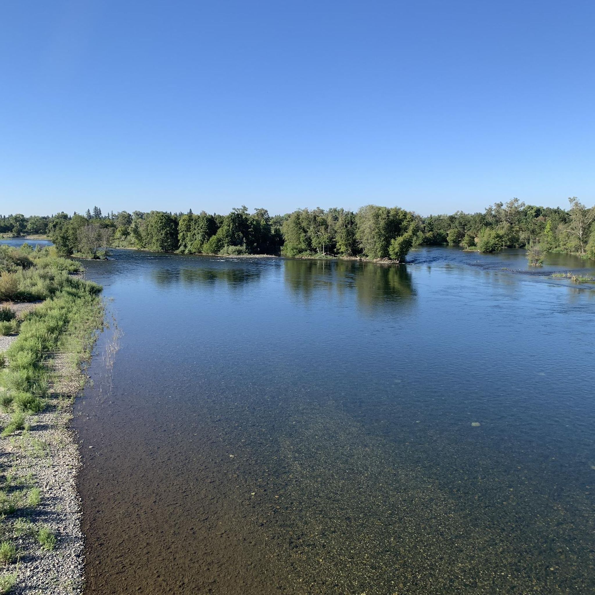
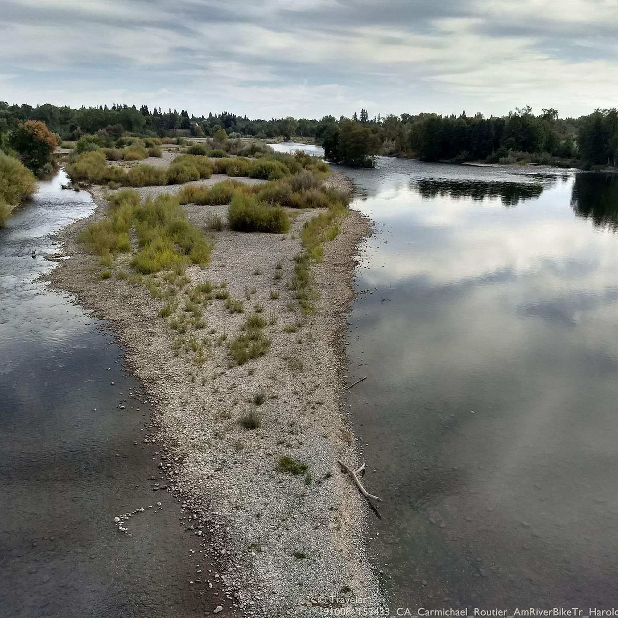
This paved trail winds between Old Sacramento and Folsom — 32 miles in all — linking you up with lots of parks along the way. Plus some gorgeous views of the river it more or less parallels!
0
0

Hagan Community Park offers direct access to the American River Bike Trail, a 32-mile scenic route ideal for cycling, walking, and running. The park has ball fields, playgrounds, picnic areas, and a dog park.
0
0

From this spot, you can exit the paved American River Trail onto a shorter, packed-dirt trail that follows the same direction as the paved trail. Both trails are multi-use, so watch out for hikers.
0
0
The Jedidiah Smith Memorial Trail, also known as the American River Bike Trail, is a 32-mile paved multi-use trail that runs from Discovery Park to Folsom Lake's Beal's Point. It parallels the American River and offers some awesome waterside views.
0
0

I used this trail in a trip between Stockton and Citrus Highs, in general very clean and few local cyclist just Sunday, a couple of homeless stuff and a security with pick up, Friday I don’t see anyone except a very friendly Red tail hawk
0
0

Also, hardly anyone uses this trail, either on foot or by bike, and it's got good sightlines. It's not the most scenic trail with canal on one side and berm on the other for most of it, which is likely why it's so quiet. But this makes it a great place for training, especially sprints and speed work. There's no problem being in the "skis" on the time trial bike, whereas doing this on the ARBT, with all its traffic, is downright stupid!
1
0
The Folsom South Canal south terminus is at Sloughhouse Road, where the trail is fenced off. But the trail looks like it's paved, though not in good shape, all the way south to Dillard Rd, near the intersection with Taverner. I'm not sure why this section is closed; it would be a much safer way to get to Taverner than taking Dillard Rd from Jackson/Hwy 16.
1
0

The trail is fixed. No restrictions anymore on Lake Natoma loop.
0
0
Frequently Asked Questions
How many road cycling routes are available in North Highlands?
There are over 30 road cycling routes in the North Highlands area, offering a variety of experiences for different skill levels.
Are there easy road cycling routes suitable for beginners or families?
Yes, North Highlands offers several easy routes. For instance, the Frank Cirill Recreation Area – Nimbus Dam loop from Del Campo High School is an easy 14.5-mile path that provides a relatively flat ride through recreational areas, perfect for a relaxed outing.
What kind of challenging road cycling routes can I find in North Highlands?
While most routes are easy to moderate, there are options for those seeking more challenge. The American River Bike Trail – Folsom Dam loop from Watt/I-80, at 63.1 miles, offers a longer ride with varied terrain and sustained effort, making it a good choice for experienced cyclists.
Are there any circular road cycling routes in the North Highlands area?
Many of the routes in North Highlands are designed as loops, providing a convenient circular experience. Examples include the Miner's Ravine Trail – Folsom Lake loop from Antelope + Zenith and the Dry Creek – Miner's Ravine Trail loop from Antelope + Zenith.
What can I see along the road cycling routes in North Highlands?
The routes often follow river trails and pass through recreational areas. You can encounter several notable bridges, such as the Harold Richey Memorial Bicycle Bridge and the Guy West Bridge. The Jedidiah Smith Memorial Trail (American River Bike Trail) is a prominent feature, offering extensive riverside cycling.
What is the best time of year for road cycling in North Highlands?
Spring and fall generally offer the most pleasant conditions for road cycling in North Highlands, with mild temperatures. Summers can be hot, especially in the afternoon, while winters are typically mild but can bring rain.
Are there scenic road cycling routes with good viewpoints?
Many routes, particularly those along the American River, offer scenic views of the waterway and surrounding natural areas. The Tower Bridge – Discovery Park loop from Roseville Road provides urban riverfront scenery, including views of the iconic Tower Bridge.
What do other road cyclists enjoy most about road cycling in North Highlands?
The area is highly rated by the komoot community, with an average score of 4.4 stars from over 40 reviews. Cyclists often praise the diverse landscape, including rolling hills, open stretches, and riverine paths, which cater to various skill levels and preferences.
Are there any lesser-known or unique road cycling routes in the area?
Beyond the most popular trails, routes like the Dry Creek – Miner's Ravine Trail loop from Antelope + Zenith offer a blend of natural and developed areas, providing a unique perspective on the region's cycling opportunities.
Is public transport accessible near road cycling trailheads in North Highlands?
While specific public transport connections to every trailhead are not detailed, the North Highlands area is part of the Sacramento regional transit system. It's advisable to check local bus routes for proximity to your chosen starting point.
Are there road cycling routes that pass by places to eat or drink?
Many routes in North Highlands pass through or near urban and suburban areas where various dining options are available. While specific 'pub stops' are not designated, you'll find opportunities for refreshments in towns and commercial centers along routes like those near Folsom or Sacramento.
Most popular routes around North Highlands
Most popular attractions around North Highlands

Get inspired with the komoot mobile app


Explore more
Browse the best Road cycling routes in other regions.
