The best walks and hikes around Jäthensee
4.6
(2787)
10,101
hikers
388
hikes
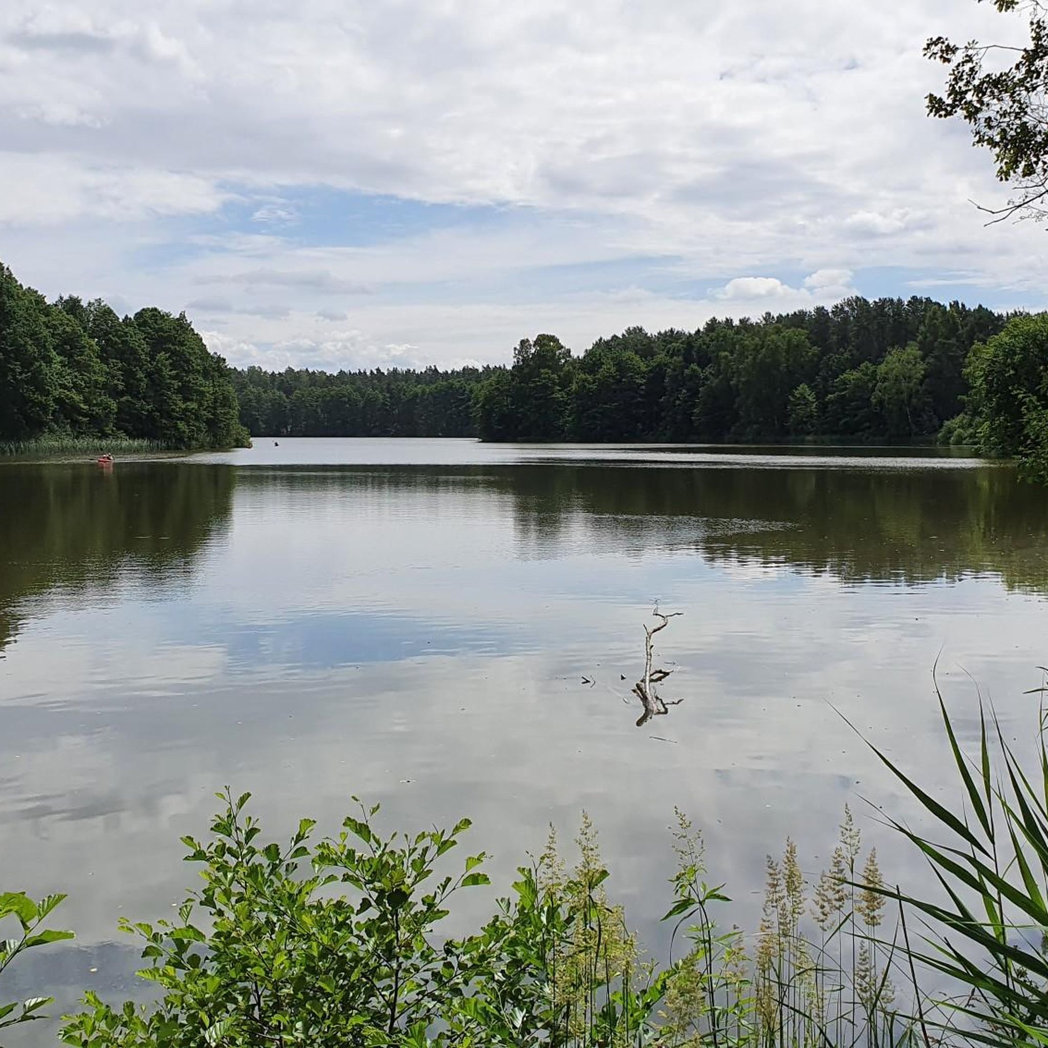
Hiking around Jäthensee offers routes through a landscape shaped by the last ice age, featuring gently rolling terrain, numerous lakes, and extensive forests. The region, part of Müritz National Park, is characterized by diverse ecosystems including ancient beech forests, stream valleys, and moorlands. The Havel River flows through Jäthensee, connecting it to a broader aquatic environment. This topography provides varied hiking opportunities without significant ascents.
Best hiking trails around Jäthensee
- The most popular hiking route is View of the Großer…
Last updated: July 1, 2026
4.7
(20)
55
hikers
6.84km
01:45
30m
30m
Easy hike. Great for any fitness level. Easily-accessible paths. Suitable for all skill levels.
4.7
(15)
33
hikers
12.1km
03:06
40m
40m
Moderate hike. Good fitness required. Easily-accessible paths. Suitable for all skill levels.

Sign up for free
4.6
(25)
64
hikers
Moderate hike. Good fitness required. Easily-accessible paths. Suitable for all skill levels.
4.8
(4)
23
hikers
2.61km
00:40
10m
10m
Easy hike. Great for any fitness level. Easily-accessible paths. Suitable for all skill levels.
5.0
(2)
13
hikers
18.4km
04:44
80m
80m
Moderate hike. Good fitness required. Easily-accessible paths. Suitable for all skill levels.
Get access to more routes and recommendations from other explorers.
Sign up for free
Already have an account?
Our route recommendations are based on thousands of hikes, rides, and runs completed by other people on komoot.
Start today with a free account
Your next adventure awaits.
Login or Signup
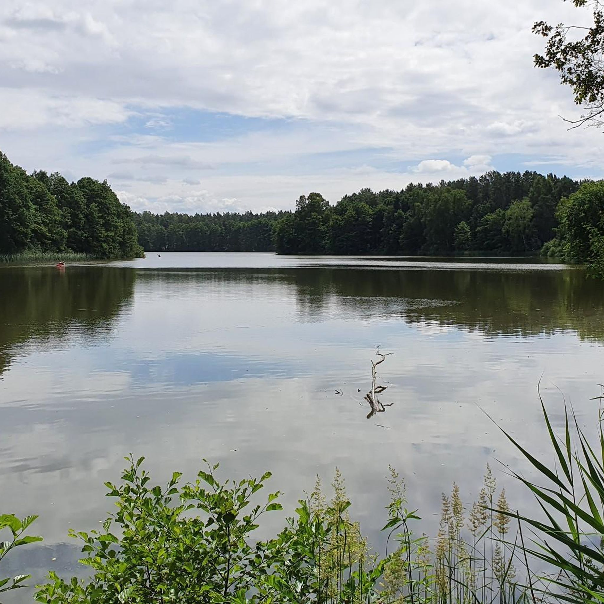
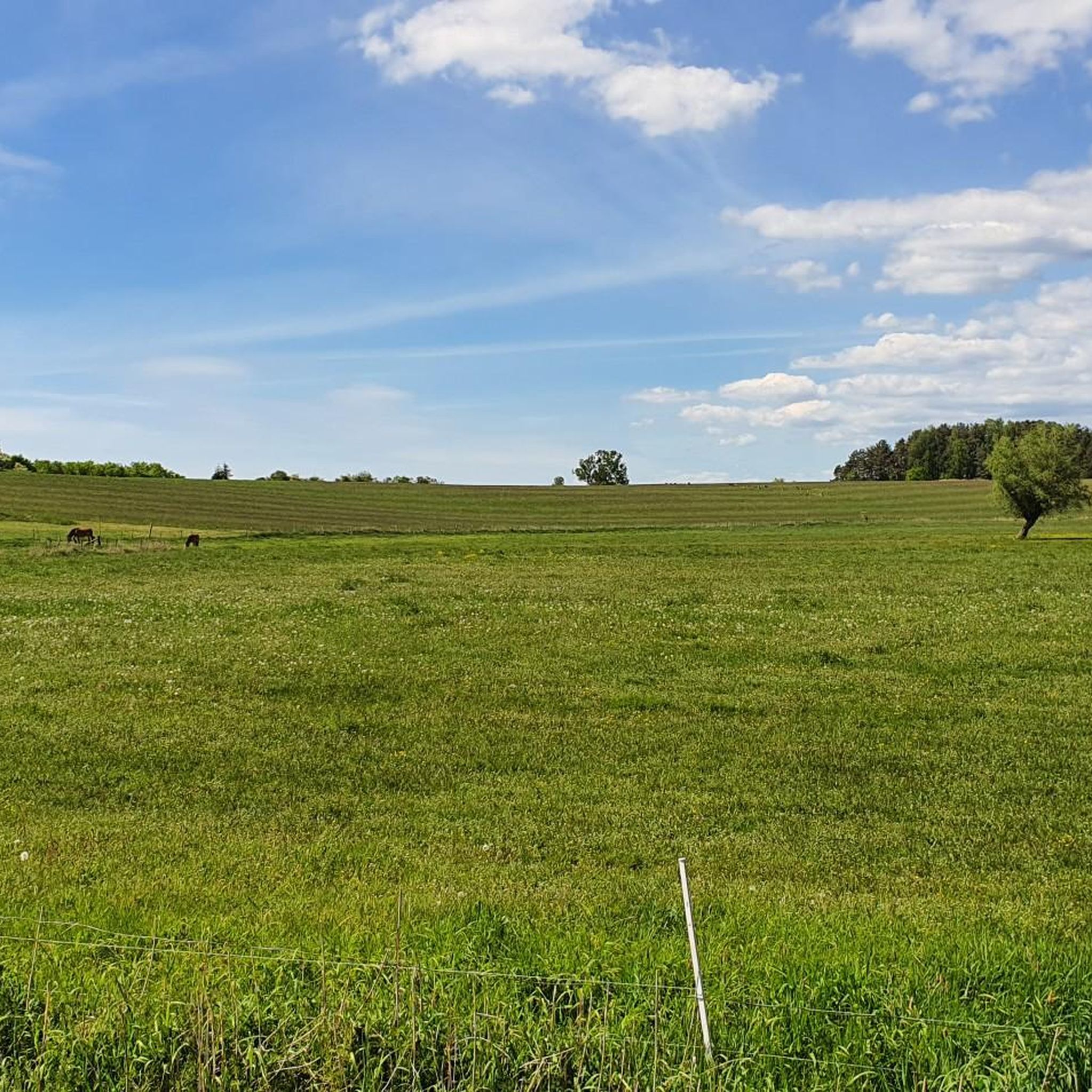
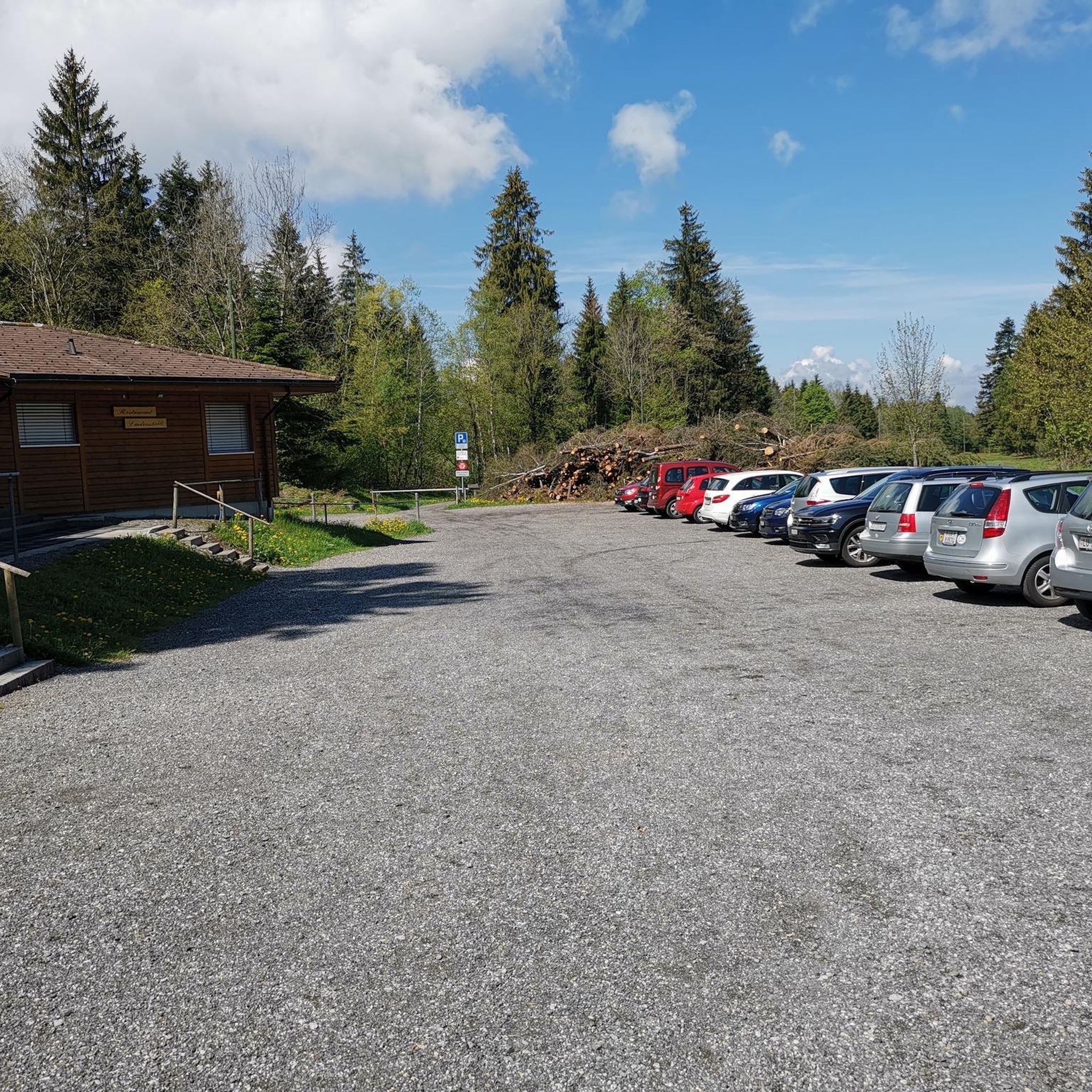
Tips from the Community

Great view from a kind of balcony onto the moor.
0
0

Nothing can be seen from the bridge anymore.
0
0

The northern loop is interrupted by electric fences. Anyone who doesn't want to cross these and walk across the cow pasture will unfortunately have to turn back. The entrance to the southern loop no longer exists, as it now appears to be private property and is closed off by a gate. However, you can still walk around the lake (the path's entrance and exit would then be along the campsite) – at least as long as the small wooden bridge on the northern shore is still there. Shortly before the end of this loop, you are also forced to enter the campsite through a turnstile, which is actually prohibited according to the sign. If you can bear all this, it's a very pleasant and entertaining hiking experience. The Hexenstube restaurant/café is also recommended, where you can get snacks, homemade cakes, and drinks and enjoy them on the small terrace. A small pottery stall on the road not far away offers small works of art for sale.
0
0

A great idea to get the boats to the lake
0
0

The Havel [ˈhaːfl̩] is a river in northeastern Germany and, at 334 kilometers long, the longest right tributary of the Elbe. The direct distance between source and mouth is only 94 kilometers. The Havel rises in Mecklenburg-Western Pomerania, flows through Brandenburg, Berlin and Saxony-Anhalt and flows into the Elbe near Rühstädt on the border between Brandenburg and Saxony-Anhalt. 285 kilometers of river run through Brandenburg. It flows first through numerous small lakes in a southeasterly direction, then in a southerly, western and finally northwesterly direction. The difference in altitude is only 40.6 meters. With an average of 103 cubic meters per second, the Havel has the third largest volume of water among the tributaries of the Elbe after the Moldau (150 m³/s) and the Saale (117 m³/s). Most of the river is navigable. Weirs and locks regulate the depth and flow of the water almost throughout its entire course. Despite the expansion into a waterway,
0
1

We found chanterelles just like that on the way 😃
0
0

River section with very shallow water, partly dry in summer. Attention: no rest area
1
0

There is no bridge, but the canal is quite deep.
4
0
Frequently Asked Questions
How many hiking trails are available around Jäthensee?
The Jäthensee region, part of Müritz National Park, offers a wide network of hiking trails. You can find nearly 400 routes, with options ranging from easy strolls to more challenging hikes. Over 220 of these are considered easy, 140 are moderate, and about 20 are difficult.
What kind of terrain can I expect when hiking near Jäthensee?
The terrain around Jäthensee is largely shaped by the last ice age, featuring gently rolling landscapes with small hills, wide plains, and numerous lakes and moors. You'll hike through extensive forests, including ancient beech forests, and along stream valleys. The routes generally have no significant ascents, making them accessible for most visitors.
Are there any family-friendly hiking options around Jäthensee?
Yes, the Jäthensee area offers many family-friendly hiking options, particularly due to its gently rolling terrain and numerous easy routes. The Müritz National Park also features several nature adventure trails designed to engage children and help them learn about the environment. An example of an easy route is the Brick Church Babke – Madensee loop from Havelbach, which is about 6.9 km long.
Can I bring my dog on the hiking trails in Jäthensee?
Yes, dogs are generally welcome on the hiking trails around Jäthensee, which is part of the Müritz National Park. However, it's important to keep them on a leash to protect the local wildlife and ensure a pleasant experience for all hikers. Always check specific trail regulations, especially in sensitive nature protection zones.
What are some notable natural features or landmarks to look out for?
Jäthensee itself is a significant feature, divided into two basins by the island of Schulzenwerder. The Havel River flows through the lake, connecting it to a broader aquatic environment. You'll also encounter diverse ecosystems including ancient beech forests, stream valleys, and moorlands. While there are no specific architectural landmarks directly on the lake, the historic Brick Church is passed by on the Brick Church Babke – Madensee loop from Havelbach.
Are there circular hiking routes available in the Jäthensee area?
Yes, many of the hiking routes around Jäthensee are circular, allowing you to start and end at the same point. For example, the View of the Großer Säfkowsee loop from Havelbach offers scenic views and is a popular moderate circular trail. Another option is the Jamelsee Lake – View of Lake Jamelsee loop from Babke, which takes you through diverse forest and lake landscapes.
What do other hikers say about the trails around Jäthensee?
The hiking trails around Jäthensee are highly regarded by the komoot community, with an average rating of 4.6 stars from over 2,500 reviews. Hikers often praise the serene landscapes, the diverse ecosystems, and the well-maintained paths that make for enjoyable walks through forests, along lakes, and across moorlands.
Is it possible to combine hiking with other outdoor activities near Jäthensee?
Absolutely. The Havel River, which flows through Jäthensee, is a popular paddling route. This allows for opportunities to combine hiking with canoeing or kayaking, offering a unique perspective of the region's natural beauty. The broader Müritz National Park also provides excellent opportunities for wildlife observation.
What is the best time of year to go hiking in Jäthensee?
The Jäthensee region is beautiful throughout the year, but the best time for hiking is typically from spring to autumn. During these seasons, the weather is generally mild, and the diverse flora and fauna are most active. Autumn offers particularly stunning colors in the extensive forests. Winter hiking is possible, but conditions can be cold and snowy, requiring appropriate gear.
Are there any short, easy trails for beginners or quick walks?
Yes, there are several short and easy trails perfect for beginners or those looking for a quick walk. An example is the Zootzensee Trailhead Parking – Madensee loop from Havelbach, which is an easy route just over 2.5 km long. Many of the 225 easy routes in the area are suitable for shorter excursions.
How can I get to the Jäthensee hiking areas using public transport?
The Jäthensee area is part of the Müritz National Park. While specific public transport connections directly to every trailhead might vary, the National Park generally has some bus services connecting to nearby towns and villages. For detailed information on public transport options within the Müritz National Park, it is best to consult the official Müritz National Park website or local transport providers.
Where can I find parking for hiking trails around Jäthensee?
Parking facilities are typically available at popular trailheads and visitor centers within the Müritz National Park. For specific parking locations, it's advisable to check the details of individual routes on komoot or consult local signage upon arrival. Many routes, like the Zootzensee Trailhead Parking – Madensee loop from Havelbach, indicate parking availability at their starting points.
Most popular routes around Jäthensee

Get inspired with the komoot mobile app


Explore more
Browse the best Hikes in other regions.
